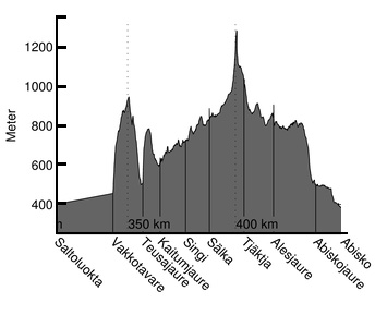
WHERE: Stage 6: Saltoluokta to Abisko – Kungsleden, Sweden
WHEN: September 3-11, 2016
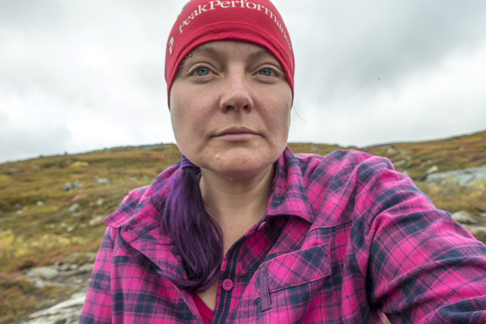
WHO: Karma & Helena
OBJECTIVE: Thru-hike, #rebootatforty
DISTANCE: 106 km (completed: 532 km in total)
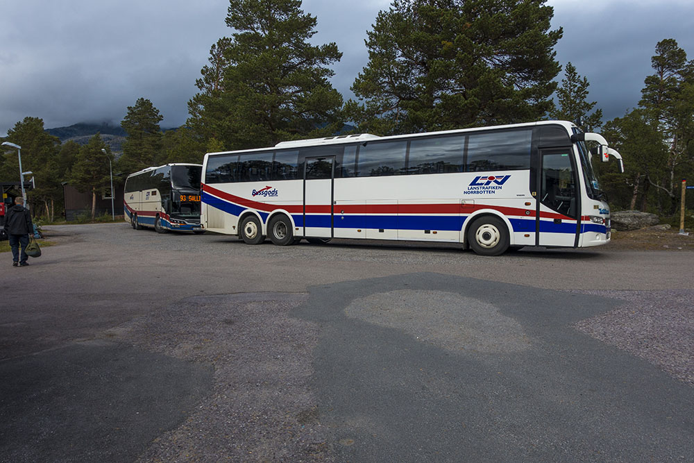
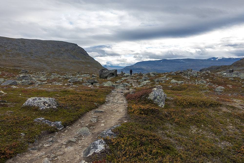
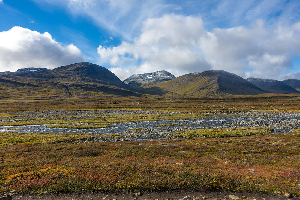
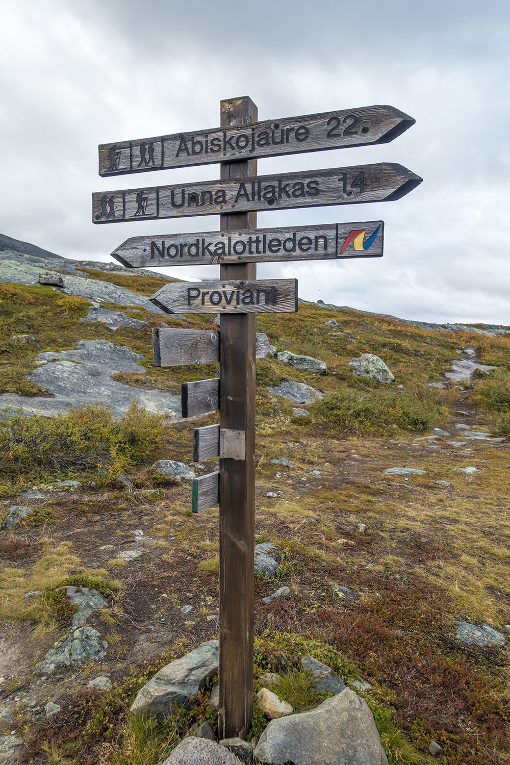
This last stage is the most popular section of Kungsleden and it is easy to see why. The trail passes trough some really stunning scenery… the majestic Tjäktjavagge vally, the impressive Kebenekaise mountain range and a climb up to the highest point of the entire trail, Tjäktjapasset. Unfortunately the fact that it is so popular is also why it is taking a beating. It is pretty crowded and the trail is really worn from heavy foot traffic and could use some maintenance. The status of the trail is making it harder to appreciate the magic. The trail also has a 30 km long break on this stage. Most hikers chose to take the bus between Saltoluokta and Vakkotavare to avoid trudging along on asphalt, we did too.
Kungsleden thru-hike + Sarek travel diary
DAY 1
Saltoluokta – Teusajaure
Distance: 14 km
Date: 3 September, 2016
STF hut: 67.694783° N, 18.155436° E
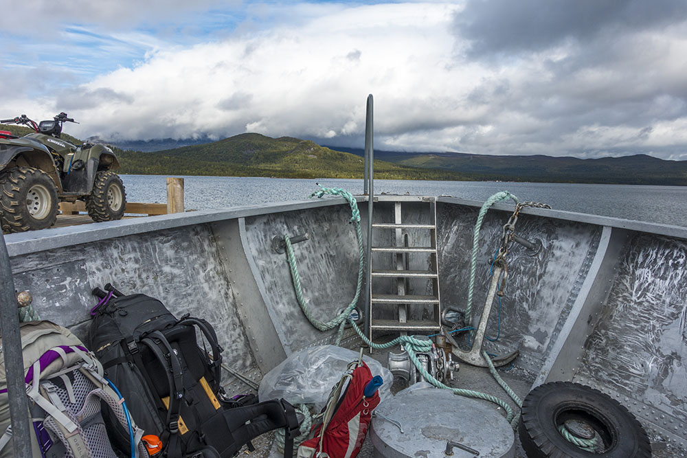
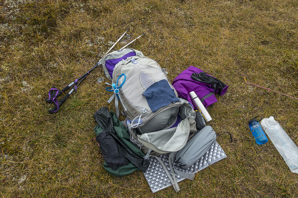
Late start to the day, which will inevitably mean a late end as well. We checked out from Saltoluokta by 10:00 then relaxed for a while until the boat left for Kebnats and the bus north. The trail is missing a section on this stretch, so we did like most hikers and took the bus up to Vakkotavare rather than walking the distance on asphalt.
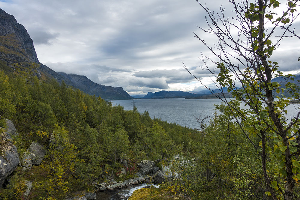
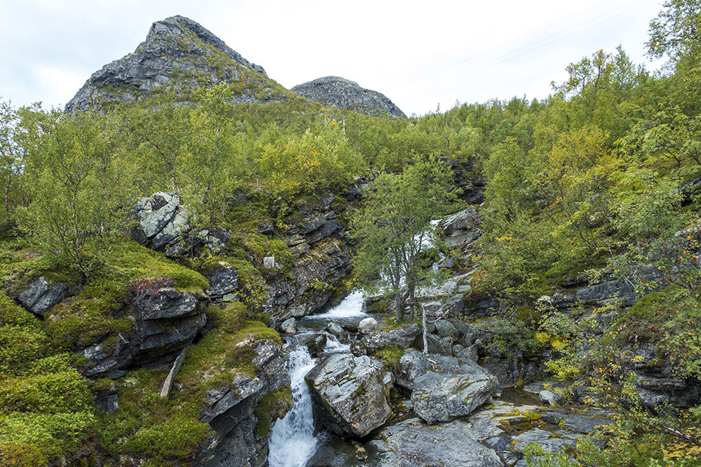
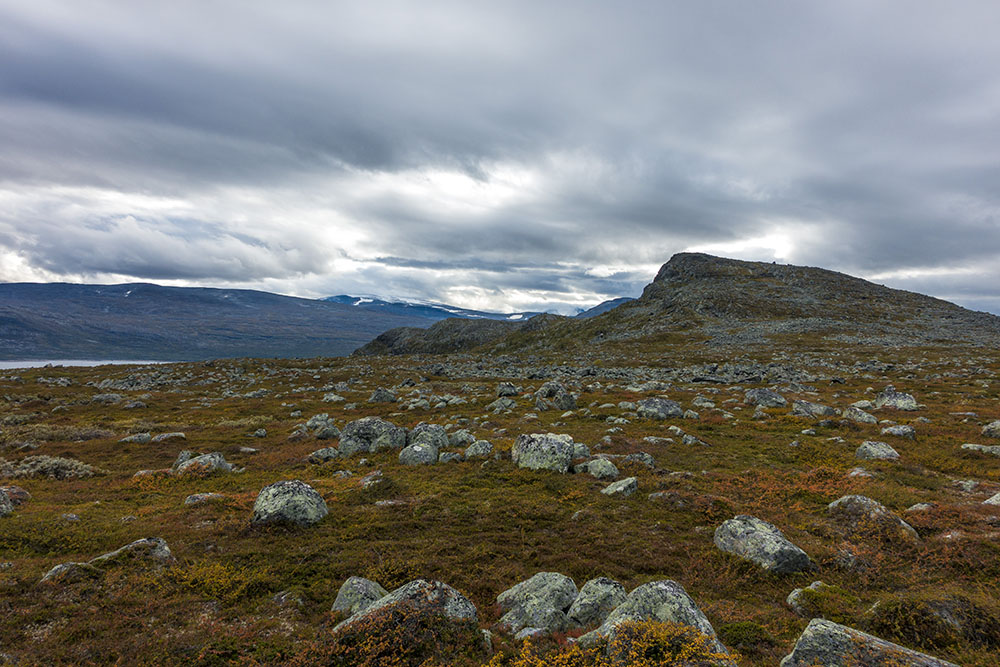
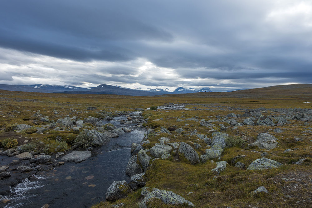
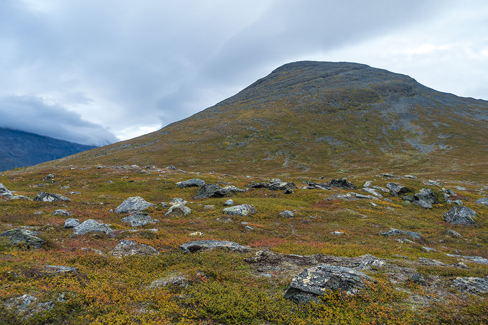
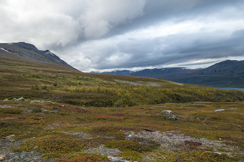
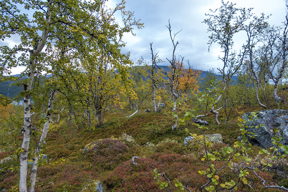
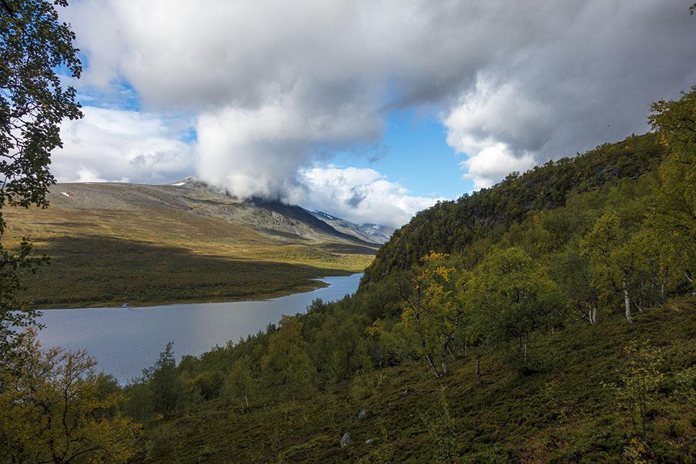
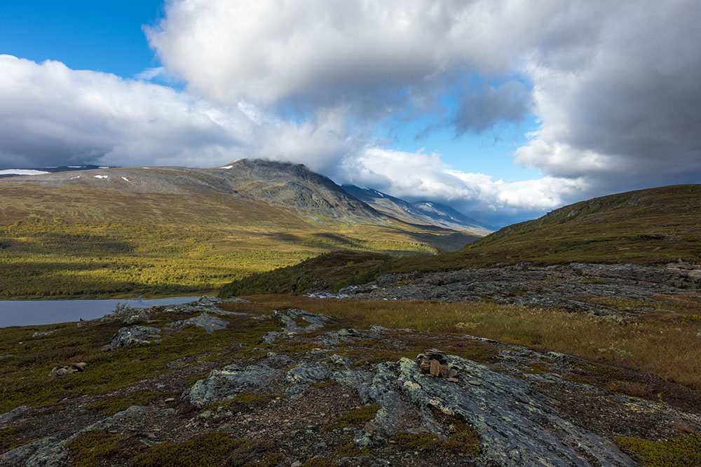
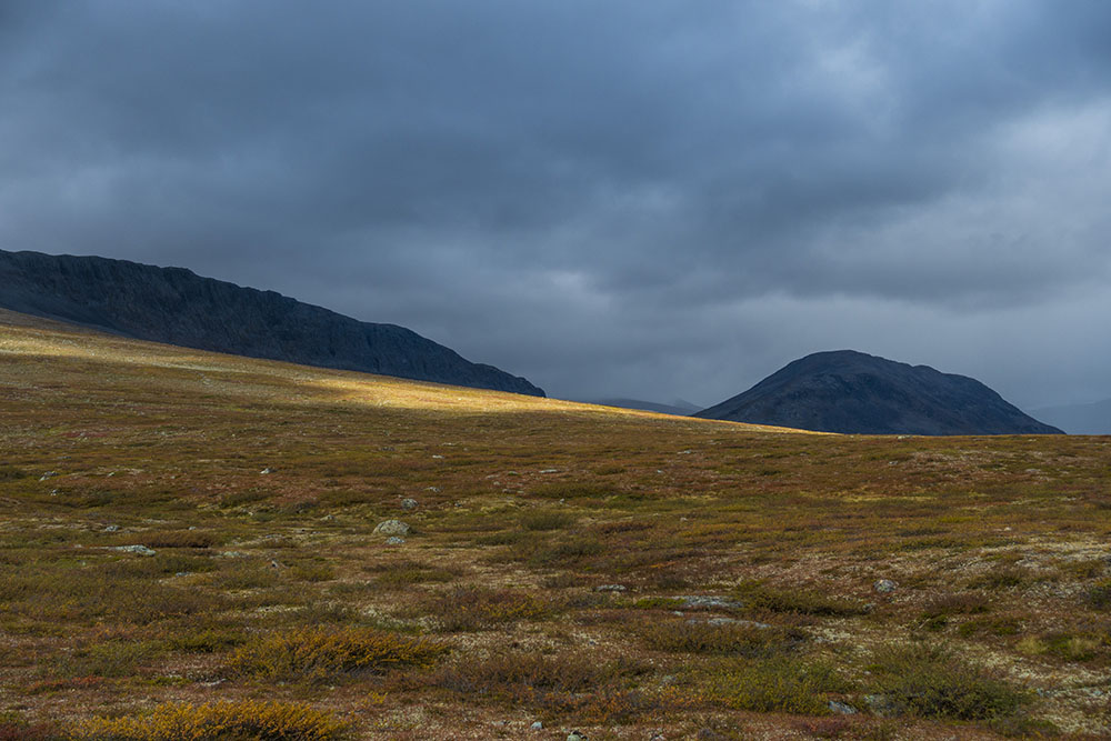
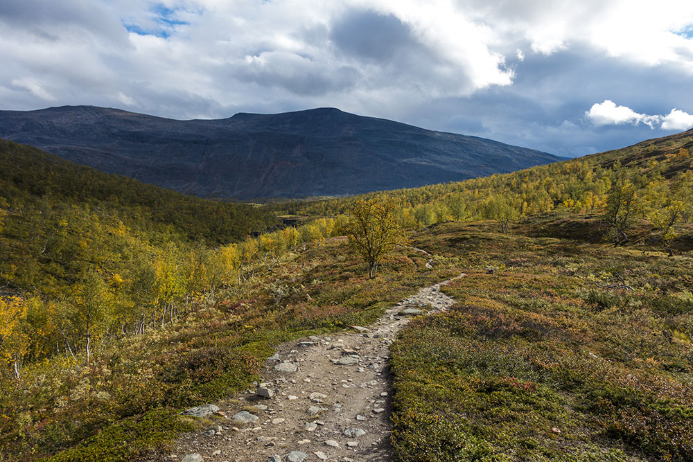
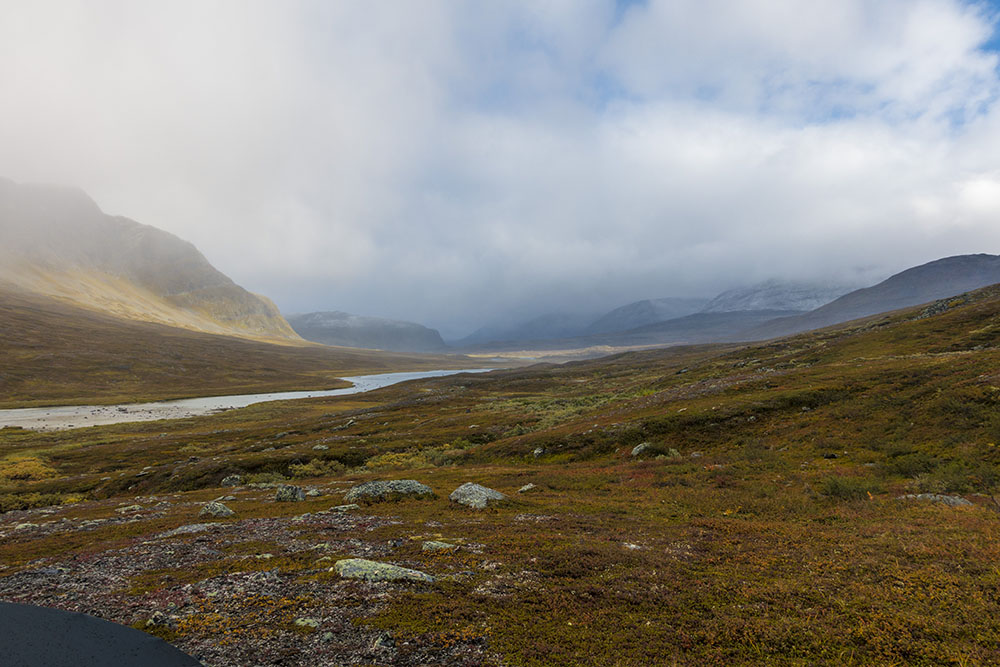
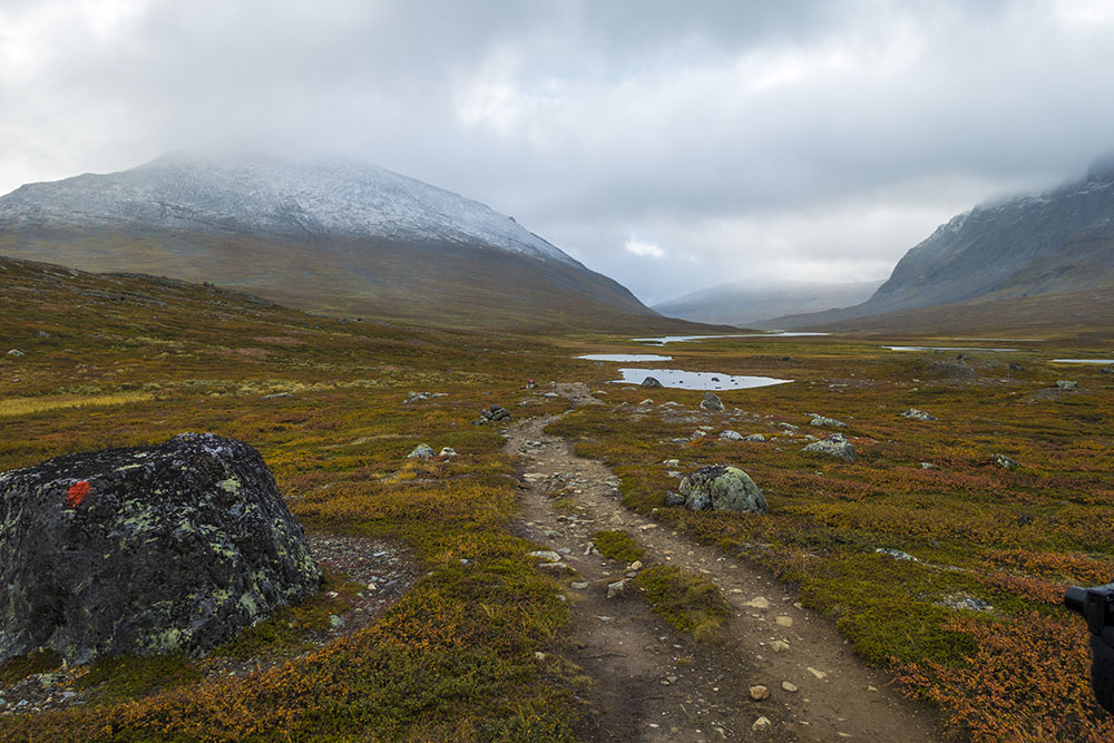
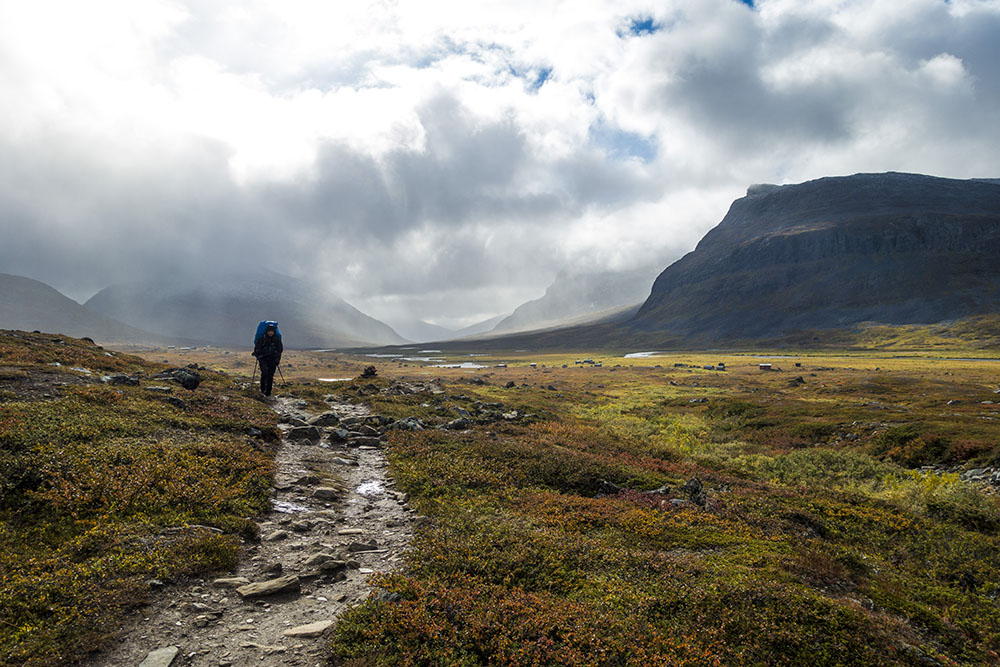
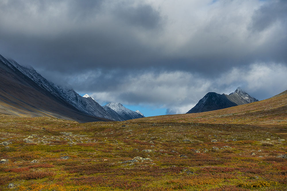
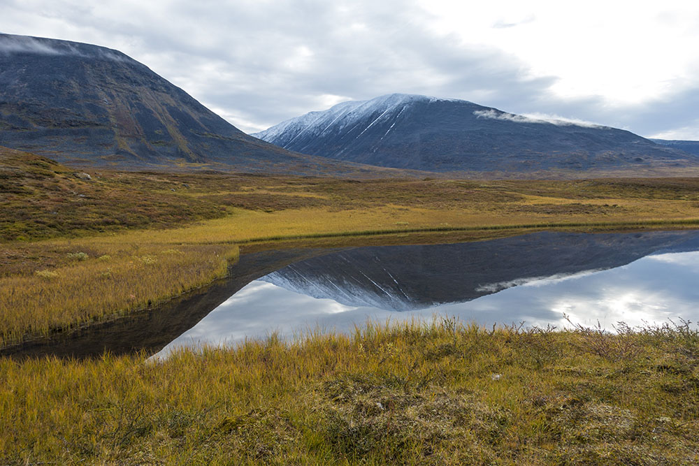
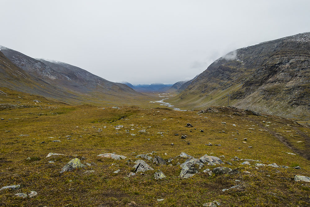
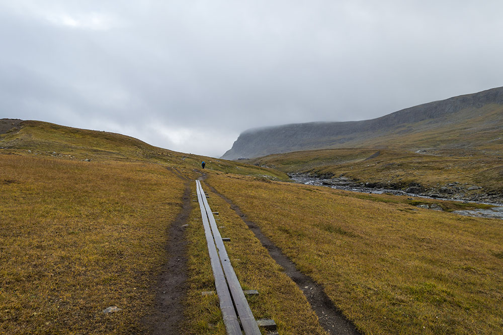
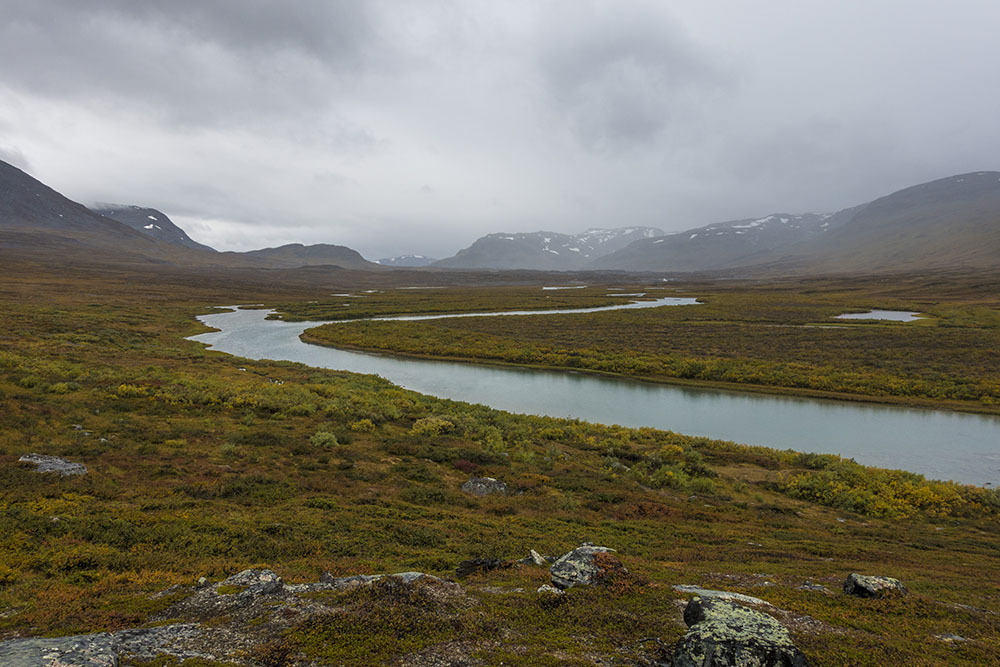
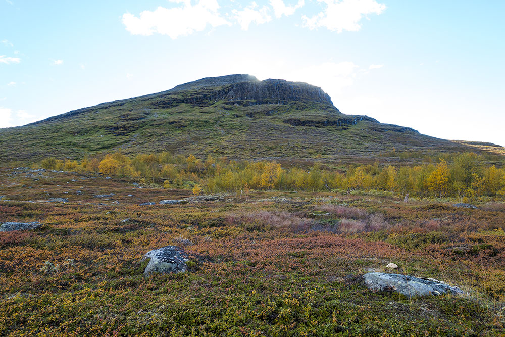
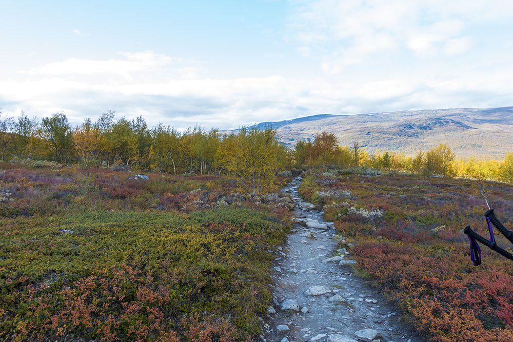
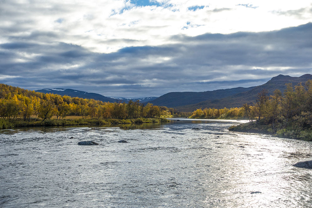
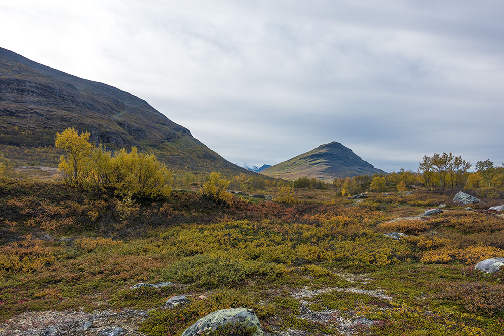
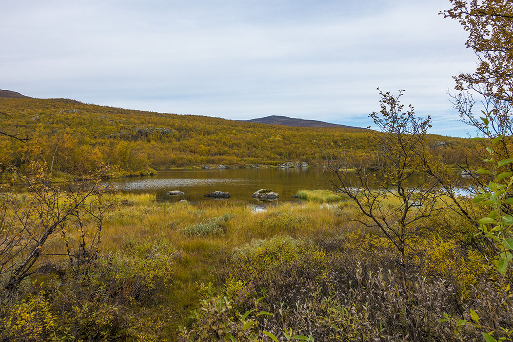
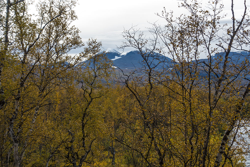
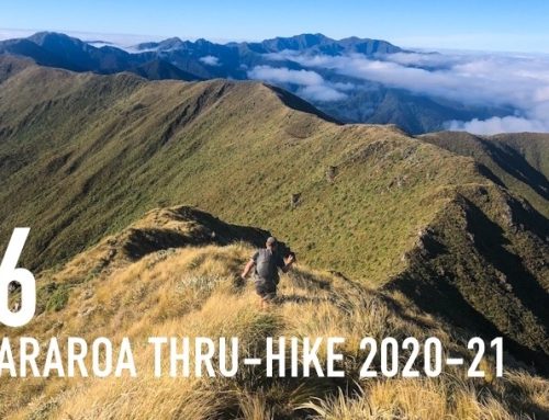
We did not even get on trail until close to three and still had 14 km to hike, starting with a gruelling steep uphill from Vakkotavarestugan up to the highland plateau. Once up the colors were amazing though! A few weeks of very cold nights have brought out the fall colors across the entire landscape and the contrast between the bright yellow birch trees and purple-red blueberry bushes were stunning. Especially effective against a backdrop of dark blue mountains with a light dusting of snow on top. The highlight of the stage is most definitely the fall colors, and hopefully the chance of experiencing the northern lights.
My body feels strong! The rest days worked its magic. But once the ibuprofen wore off after about 3-4 hours on trail the ankle started hurting a bit again, and once the trail turned downward so did the knees. Ah, screw it, I am managing the pain with some more vitamin i… ibuprofen. I feel so good and I refuse to let a few aches dull the day. I have meds covered for the next four days but I will try and score some more along the way. Six more hiking days and about 90 km to go after this one. Feeling hopeful! Failure is not an option!
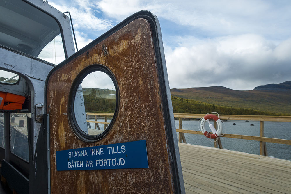
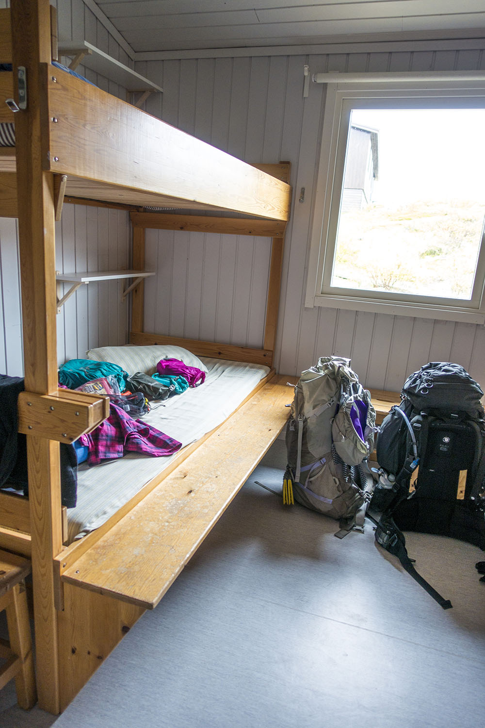
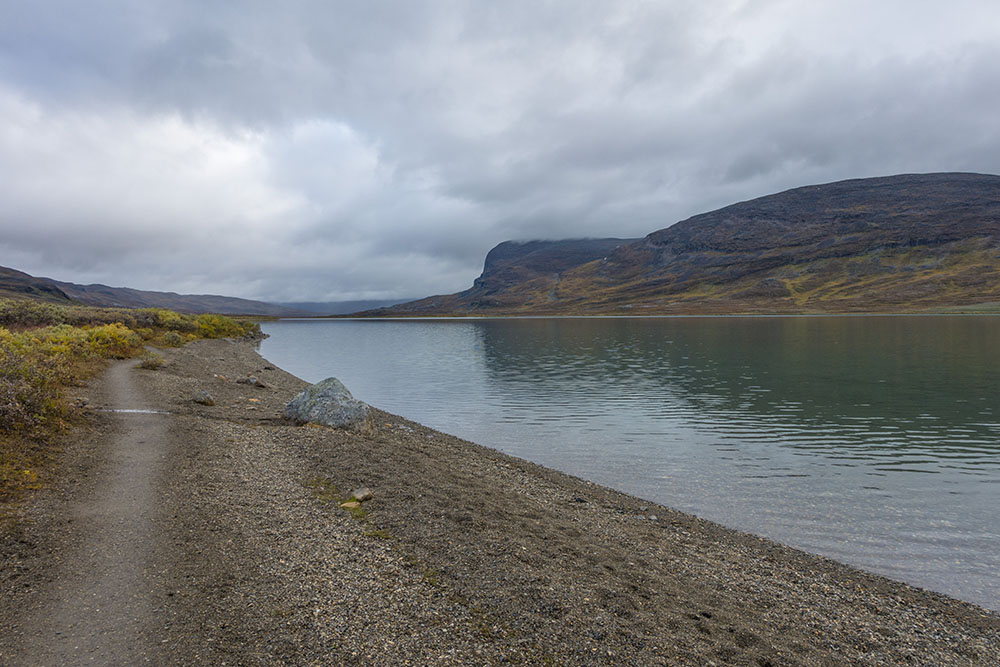
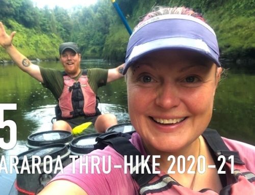
We walked more or less non stop all afternoon, only short standing breaks for snacks as usual. Towards the end of the day we walked a little with a hiker from Stockholm who had come with the same bus earlier. At the boat landing over the lake to Teusajaurestugorna (STF hut) was another couple waiting for the boat across. We got there a few minutes after seven. The boat should come sometime in between seven and eight. It came pretty much right at eight, but could not take us all in one go. So my friend and I had to wait for the second run. By the time we got across it was getting dark and it looked as if it would rain too. We were tired and starving, so we checked in at the hut for the night.
Just finished eating dinner. Sitting here writing a little before bed… most of the people in the hut has gone to bed and someone is already snoring the paint off the place in our room. Fantastic. Well tomorrow night we are in between huts, so back into our sweet tents. Nice!
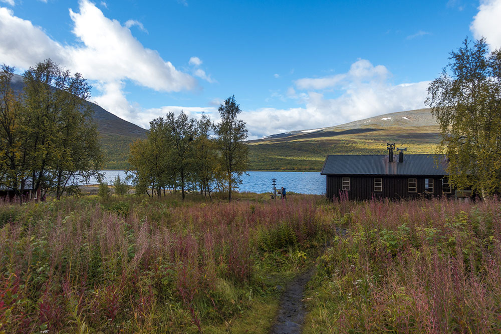
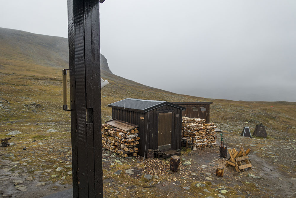
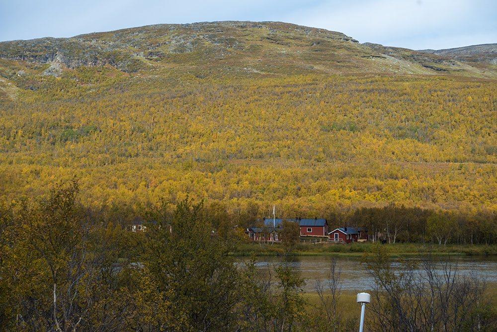
Teusajaurestugorna are beautifully located right on the lake at the foot of the mountain right where a large waterfall is crashing down the steep hillside. I hope we get some sunshine in the morning so we get to see it at its best. But first, find the earplugs and off to bed.


Day 2
Teusajaure – Stuor-Jiertá
Distance: 16 km
Date: 4 September 2016
Camped: 67.815847° N, 18.304364° E
Nights in huts are rarely great… There is always someone snoring, like last night. We shared bunk beds with two really gnarly guys (we had the upper bunks). Both snored. They did not use any sheets either.. eewww! Really gross when you consider that the cover sheets here only get washed once at the end of every season… I gently pointed this out one of the guys this morning, an American, and he got really mad and yelled at me. Nice, it is not my rules…
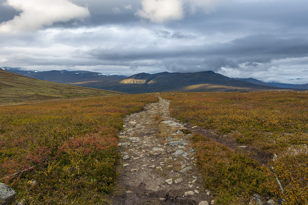
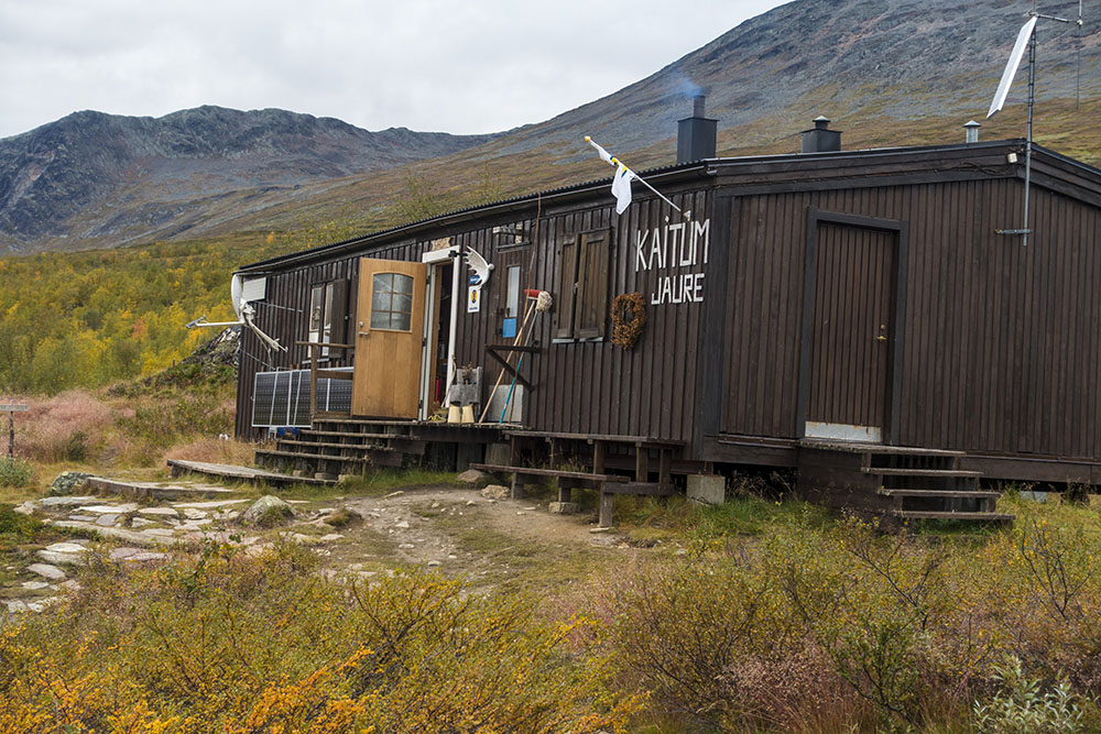
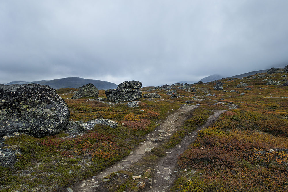
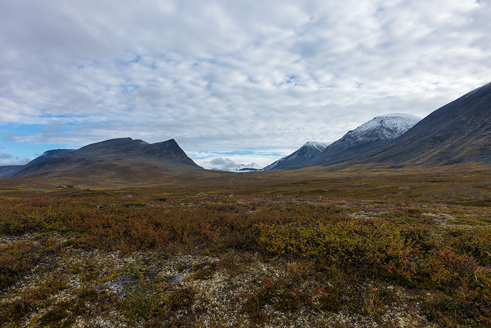
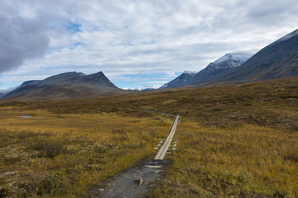
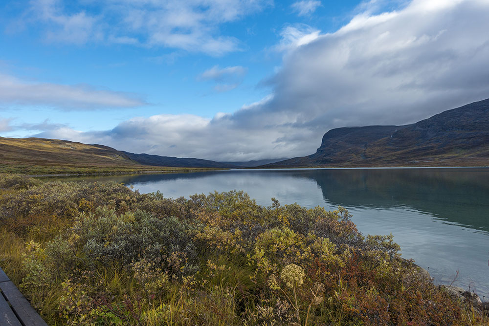
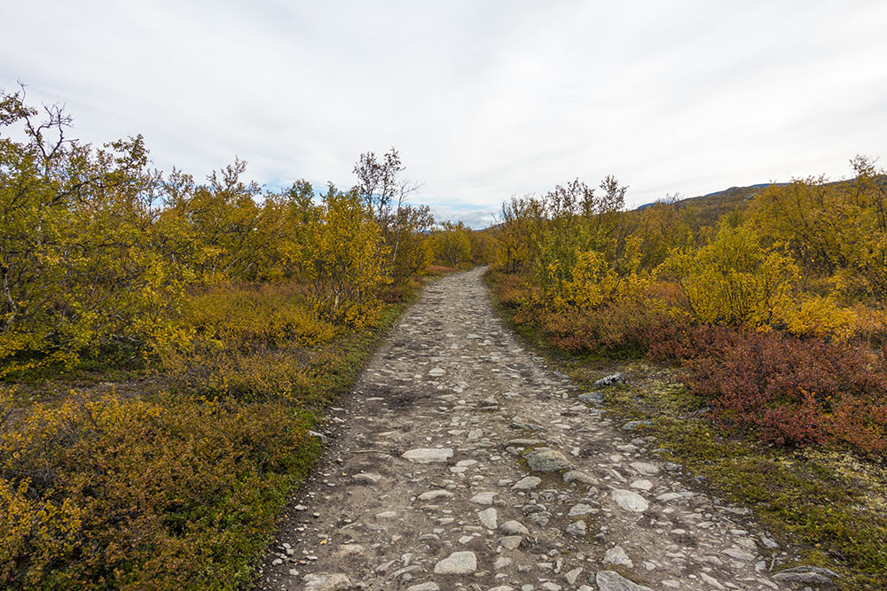
First part of the day was pretty hard. First a big climb up to the highland plateau and then followed by a really rocky and torn up trail for better part of the day. Kind of frustrating, hard to get a walking rhythm when you have to watch every step. We had lunch at Kaitumjaurestugorna. Nice to sit down and eat inside with the rain pouring down outside. When we hit the trail again the sun came out and did so sporadically on and off for the rest of the day. The sun made for a more pleasant hike. Really pretty part of the trail and the fall colors are just stunning!
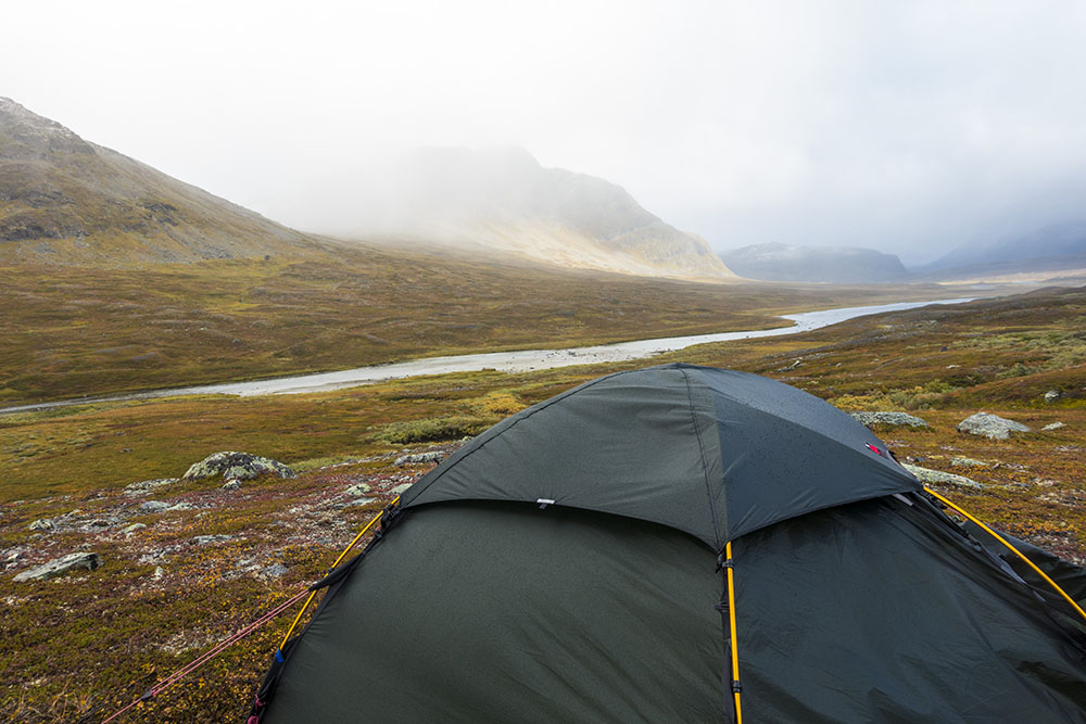
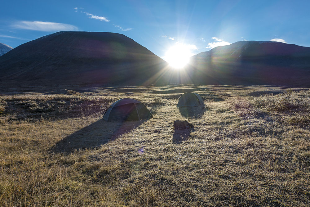
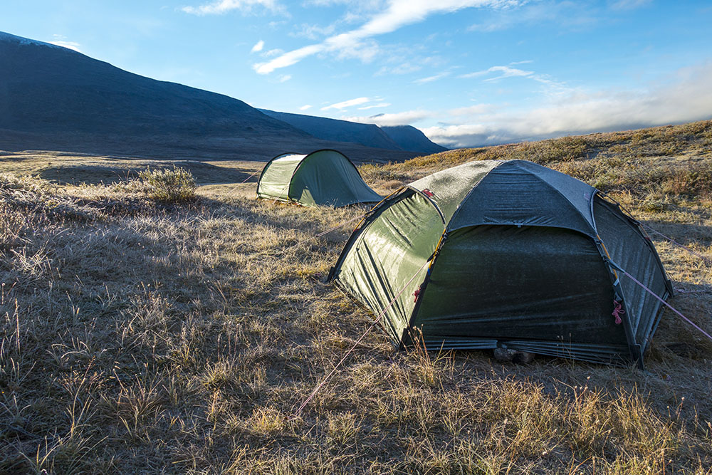
Came to our planned campsite, but found no good spots. So we walked on for another kilometer and found this spot. Nice to gain on tomorrow’s distance a bit. I can tell it is going to be another really cold night… I’m in the sleeping bag with pretty much all my clothes on again. Nite nite!


DAY 3
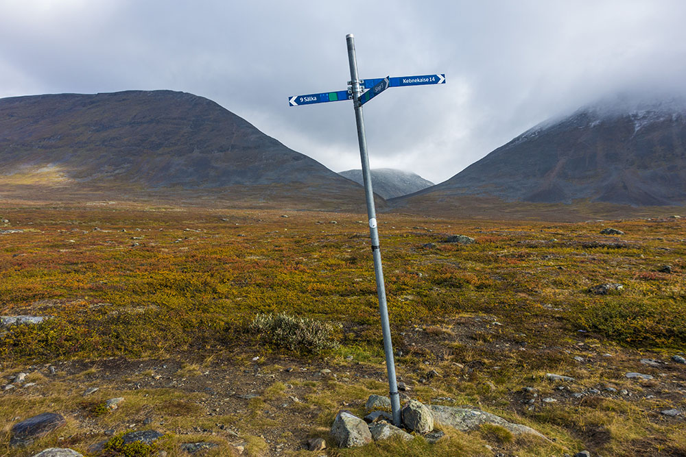
Stuor-Jiertá – Sälkastugorna
Distance: 15 km
Date: 5 September 2016
Camped: 67.937509° N, 18.281531° E
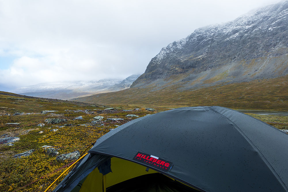
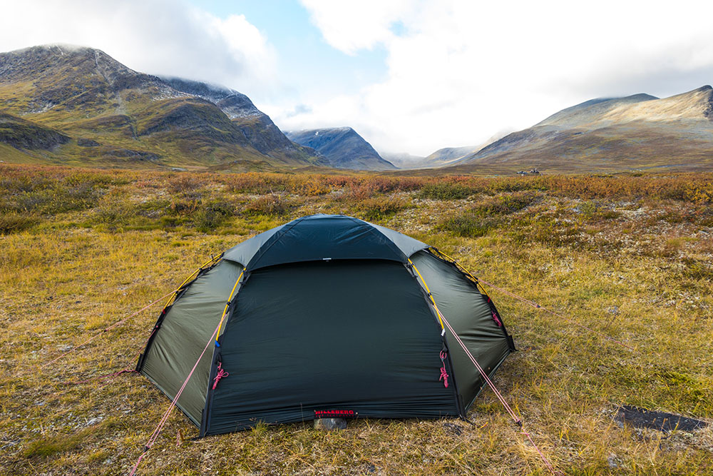
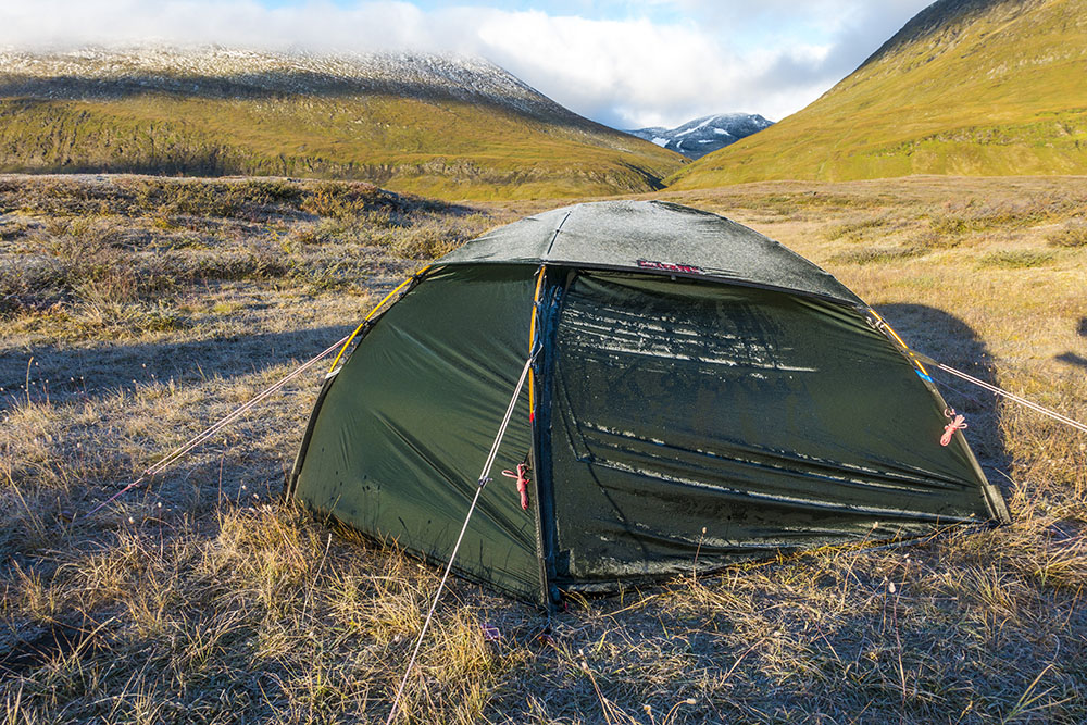
Another cold night! It rained/snowed/hailed for most of it too. Not very heavy but persistent. Crazy wind gusts randomly threatened to take down the tents too. My friend had a storm line break loose in the middle of the night and even lost a spike to the wind. We never found it. A fresh dusting of snow covered the peaks surrounding us and they stayed white even as the day wore on. I had slept in all my clothes for extra warmth again, worked ok. But it would have been nice with a warmer liner and some extra insulation from underneath. Winter is coming, or rather, winter is here!
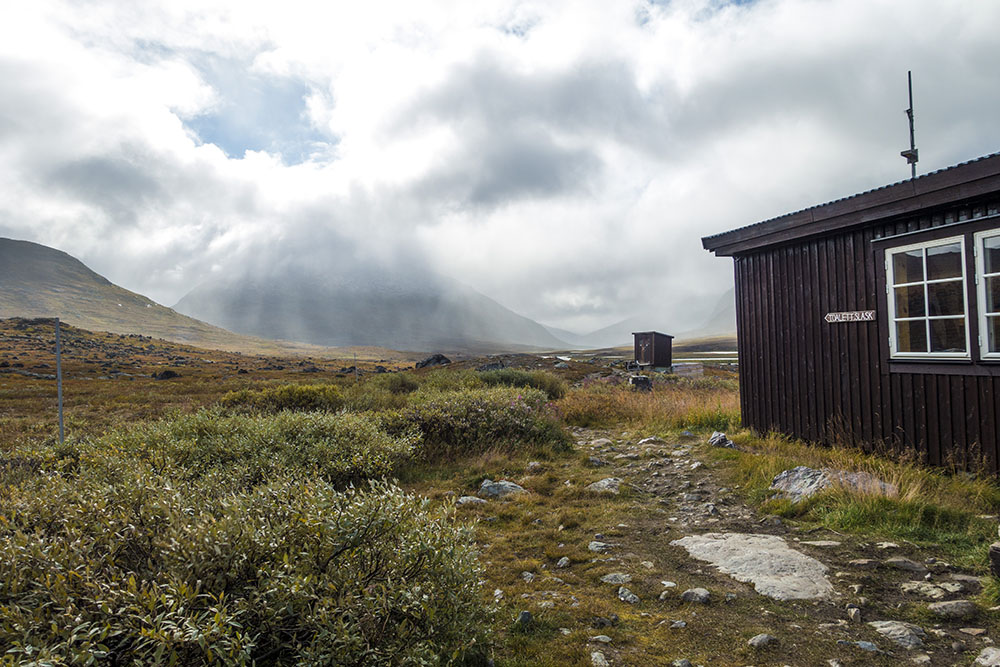
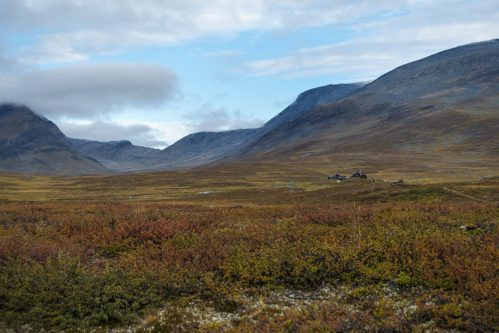
It was a very beautiful walk between Singi to Sälka. Too bad the trail is so heavily worn and rocky though. Come to think of it, everything north of Saltoluokta has been extremely rocky! We soon came up on Singistugorna and stopped in for some hot tea and a powerbar to warm up a little while passing. Chatty host at Singi. He was impressed by our thru-hike endeavor and gave us free cabin patches. A memento to remind me to come back and do the Kebenekaise trek some other time…
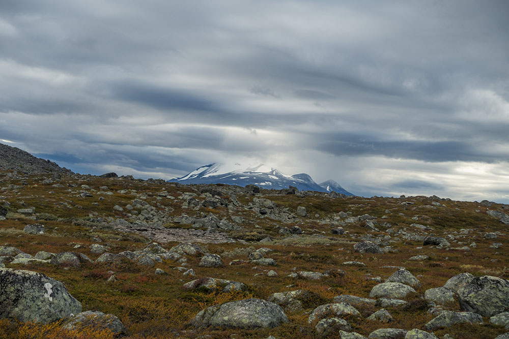
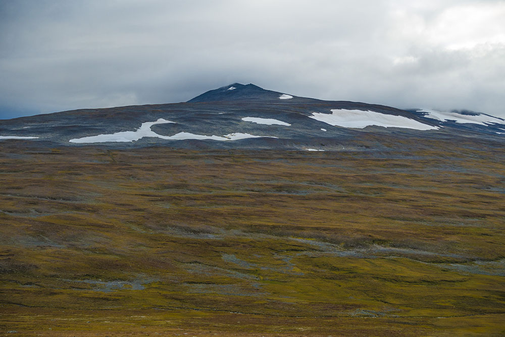
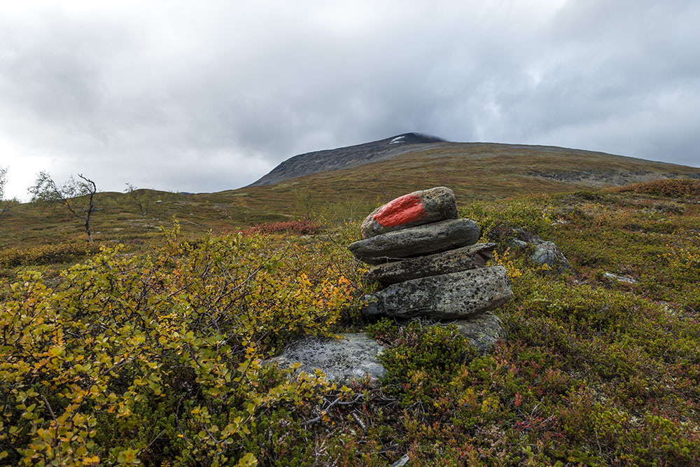
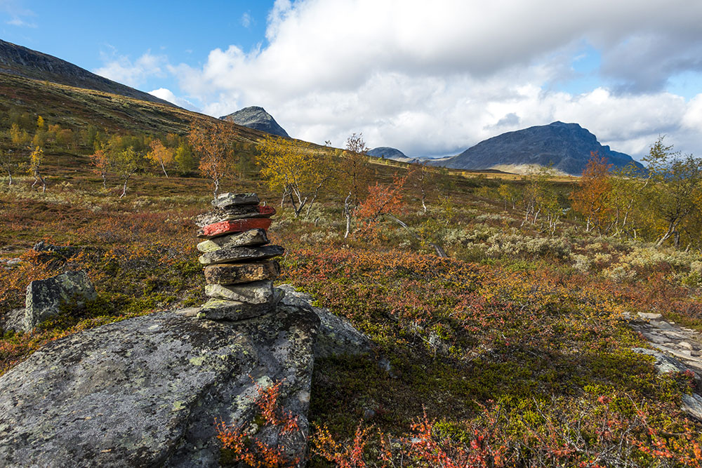
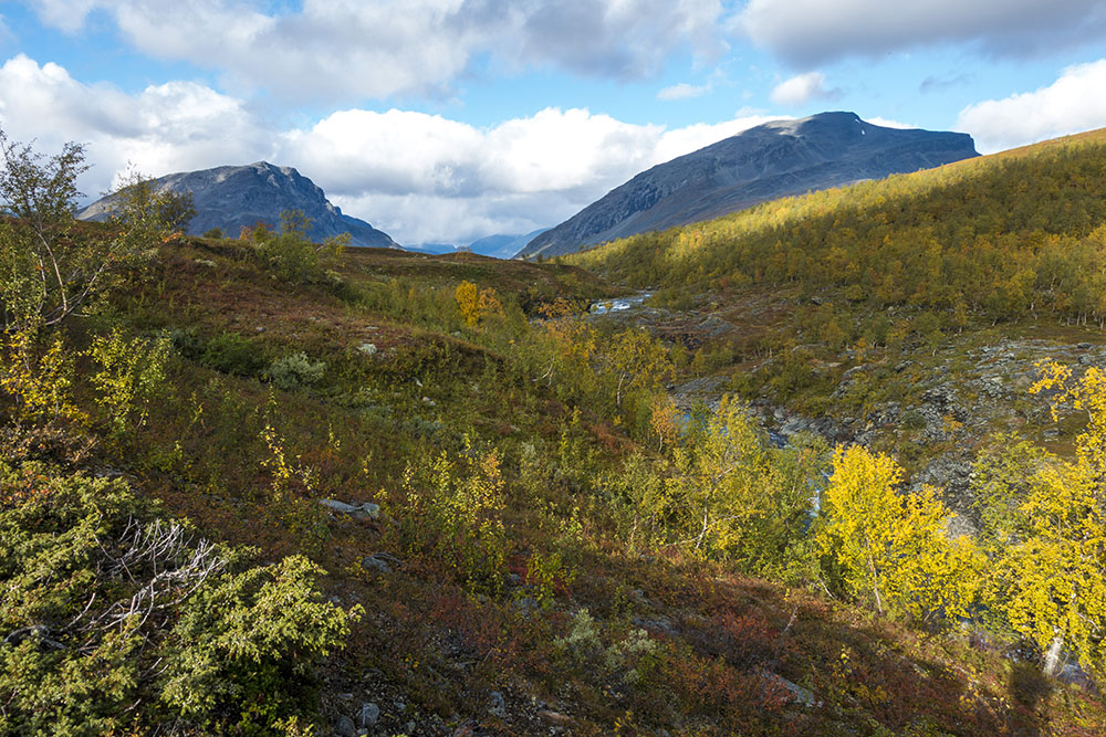
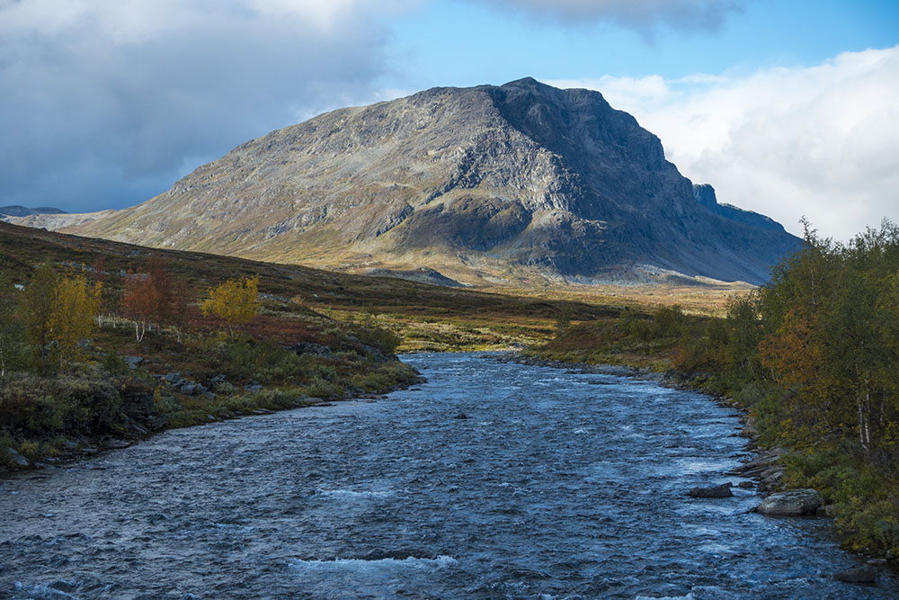
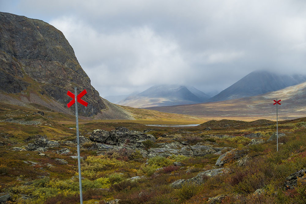
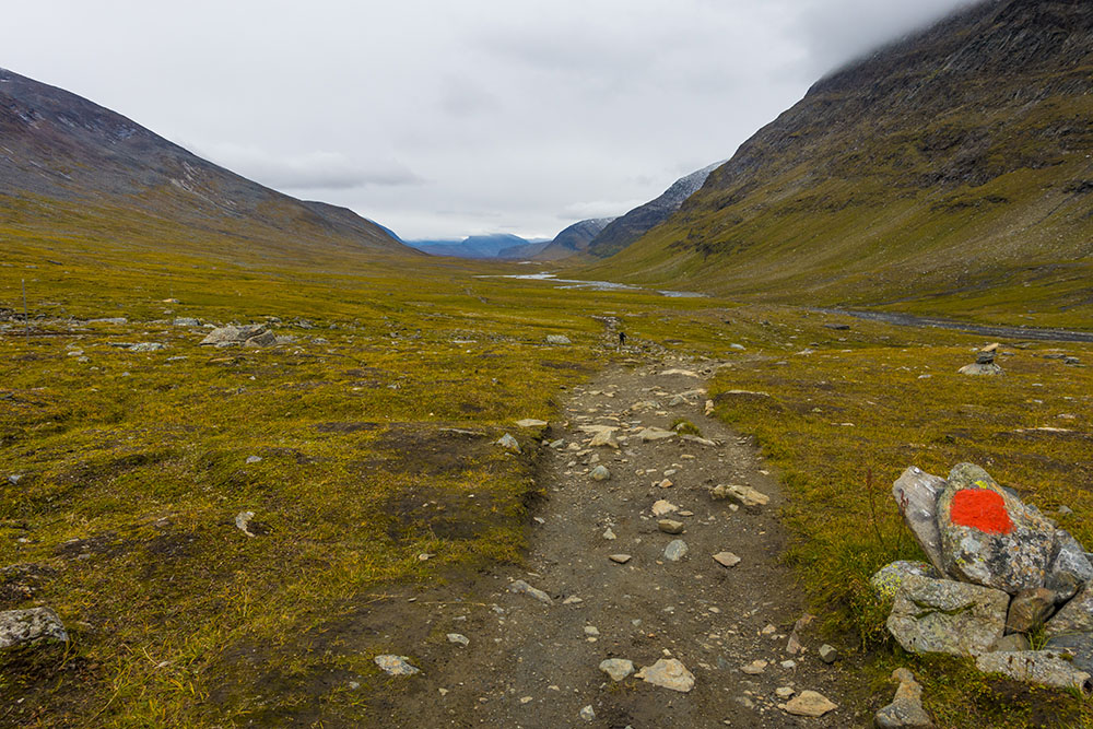
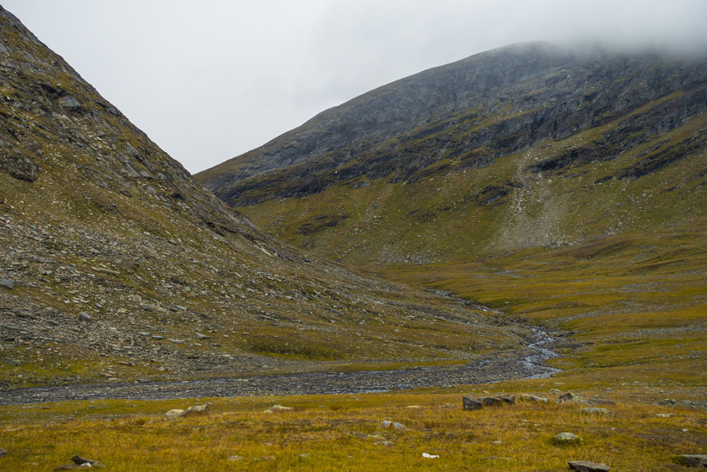
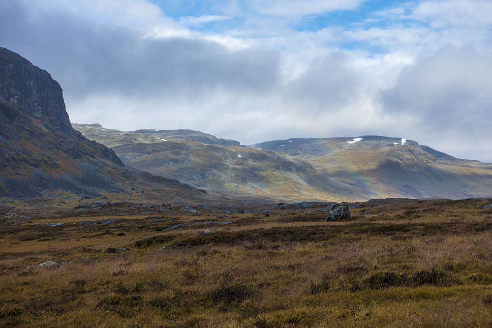
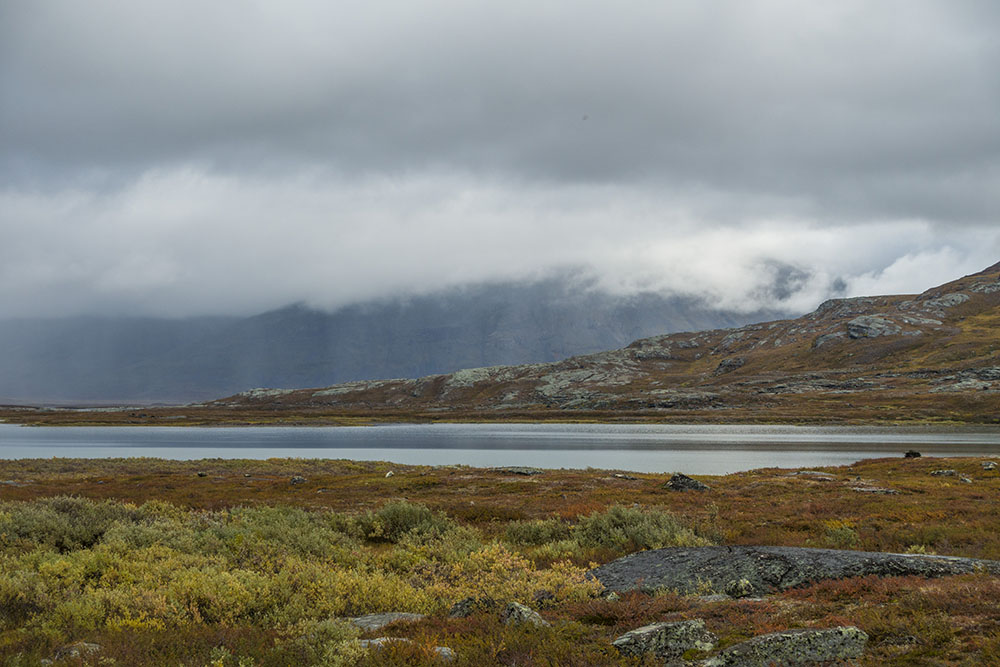
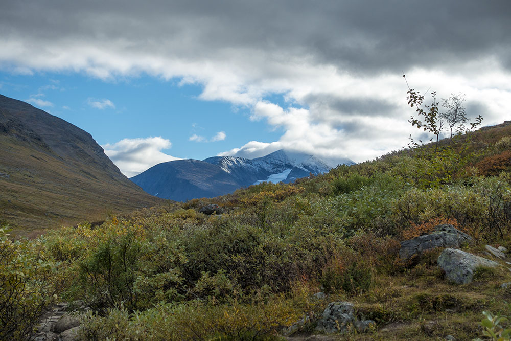
Onward again. We walked through icy hail and rain dustings in strong headwind all morning. Finally reached the emergency shelter at Kuoperjåkka with views of the Kebenekaise mountain range. By this time the sun had come out, a temporary reprieve from the icy rain, but it was still quite windy. Flanking the southern peak of Kebenekaise was Vargryggen, meaning “wolf’s back” (or “wolf ridge”) and Drakryggen, meaning “dragons back” (or “dragon ridge”) depending on how you choose to translate the name. Swedish is funny that way. Nowhere near as verbose as the english language, one word often has more than one meaning. Must be hard for non-native speakers to get a hang of… Kebenekaise was obscured by low clouds though. You could only really see the base of the southern peak and faint glimpses of something more accompanied by the feeling that there was something very large hiding in the clouds. Still, very a cool to be looking at the tallest mountain in the country. I plan to go back and do a proper visit some day.
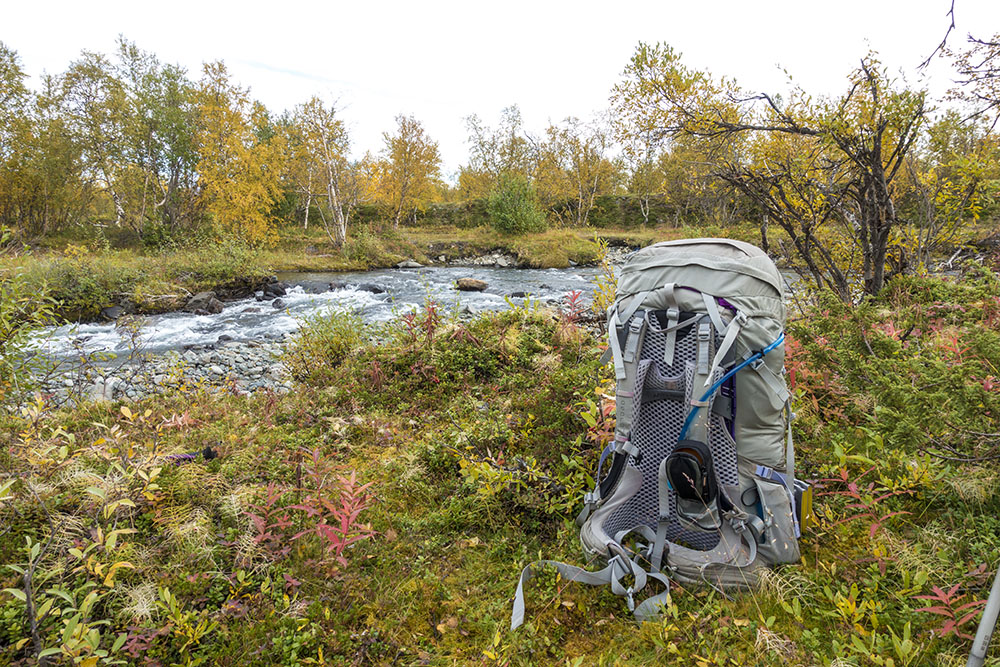
We ate our lunch in the emergency shelter. It was disgustingly dirty and messy in there! The whole entryway was full of trash. People disgust me sometimes… this disrespectful behavior really makes me mad! Still nice to get out of the wind for a while. I also had to fix one of my trekking pole with some duct tape. The interior coupling holding two sections together keep sliding out of position making it loose rigidity mid stride. Frustrating! I think this fix will hold for the reminder though.
We are meeting a lot of strange people on the trail up here. One guy was hiking in blue jeans, another in tennis shoes and a cotton jacket, and more people than I can count carry really unwieldy packs with a ton of gear attached to the outside, swaying precariously with each step… The host at Singi had mentioned that people are coming up here expecting a walk in the park, being hopelessly ill prepared. It may be a popular trail, but it is still a serious undertaking to hike up here. Mountain rescue is having to respond to a lot of unnecessary calls too…
I am dropping like a stone in weight despite eating constantly it seems. The waist belt on backpack is on the smallest setting now and still threaten to slide off my hips at any moment. Pants are falling off too… My lateral epicondylitis (tennis/mouse elbow) is better too. Who knew walking with trekking poles was the answer? I feel strong and empowered! I am starting to stress about the fact that the end is starting to draw near… This is the last stage and the countdown has started. My body may be a little worn and could do with a little rest, but part from that I don’t want it to be over! These thoughts are occupying more and more of my waking (and sleeping) hours…


DAY 4
Sälkastugorna – Tjäktjastugan
Distance: 13 km
Date: 6 September 2016
SFT hut: 68.051435° N, 18.242019° E
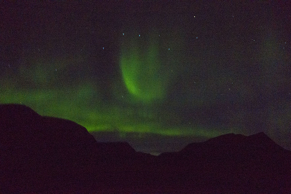
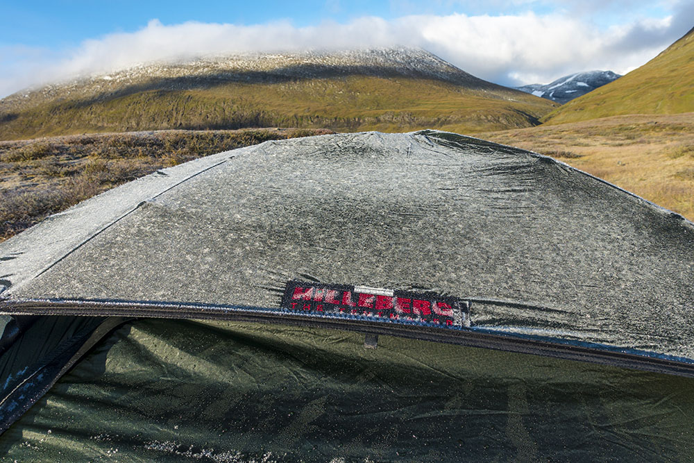
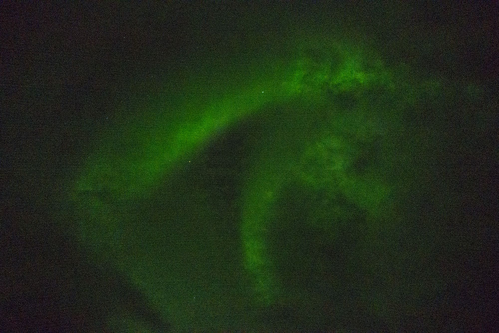
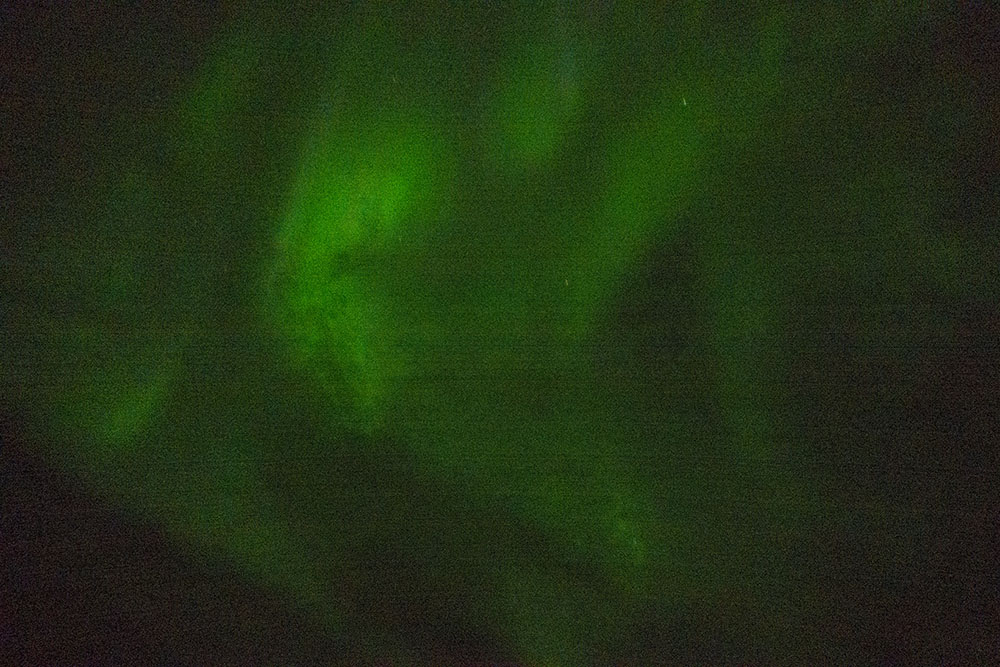
Woke to a freezing cold tent covered in frost. Even some on the inside today. We had gotten out around one last night to look at the northern lights and had nearly frozen our butts off! But yes!!! I had really wanted to see the aurora borealis on this hike so I feel very fortunate. It wasn’t super strong or colorful, but totally there! We were photographing it while jumping around trying to stay warm. We eventually had to surrender to the warmth of our sleeping bags again, man that was cold! Well below freezing for sure.
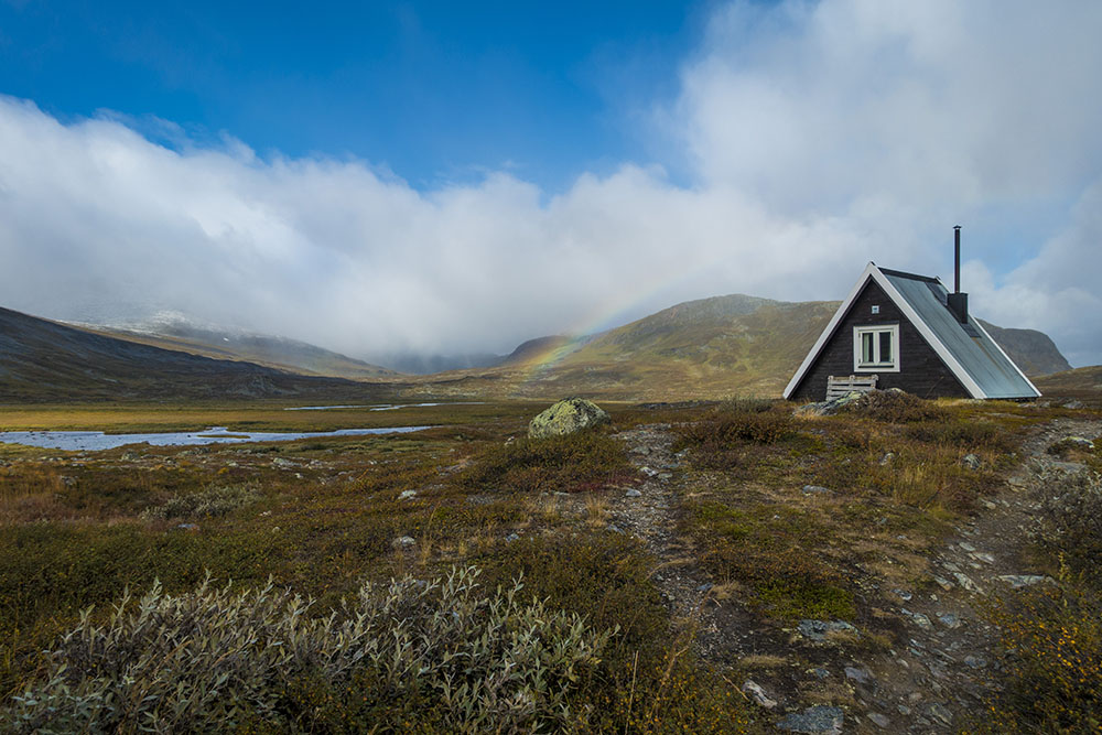
Once the sun came up in morning the temperatures mellowed a little bit. Nice to have all the frost and ice on the tents melt before we had to pack up. Tonight we’ll stay in a hut to dry out gear, perhaps we will stay in huts for the remaining two nights as well, we’ll see. Feels like the grace period for our three season gear may be over. We stopped in briefly at Sälkastugan on our way to warm up a bit and stock up on chocolate. One can never have too much chocolate!
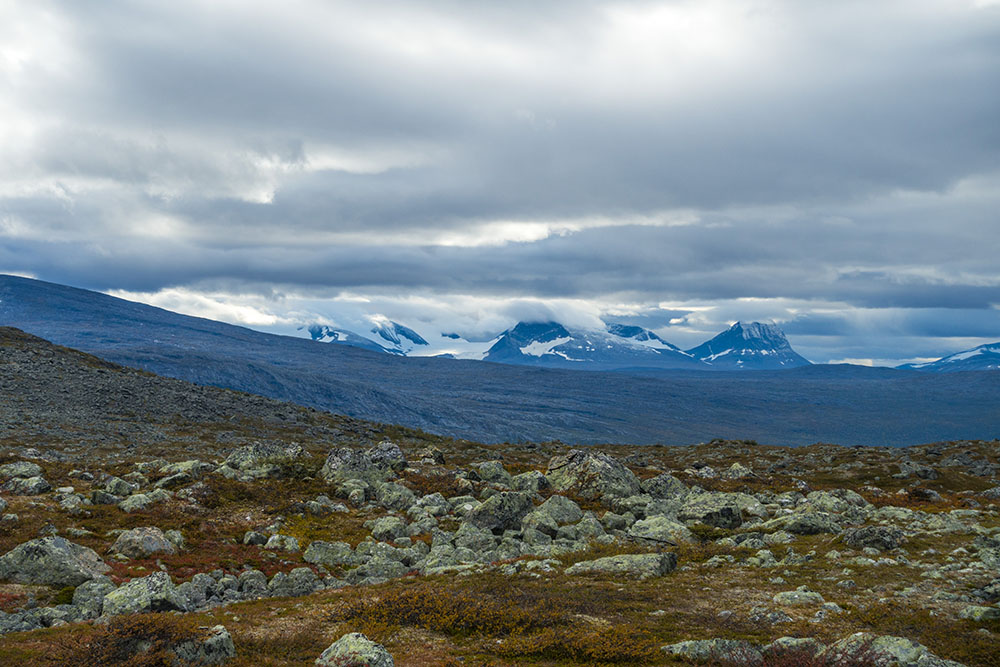
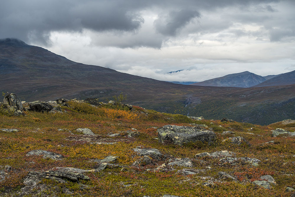
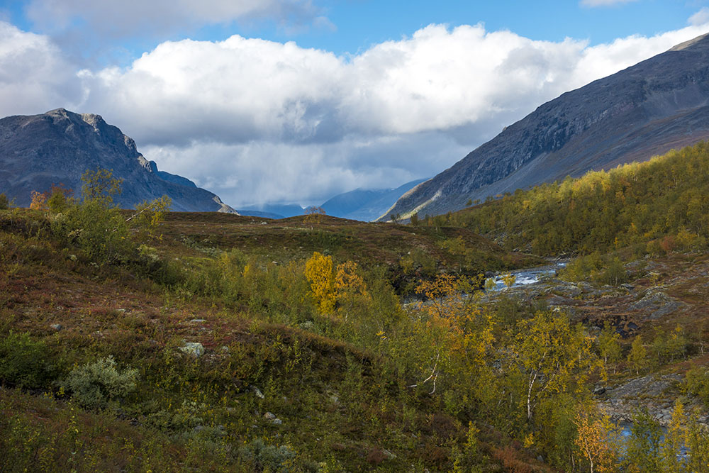
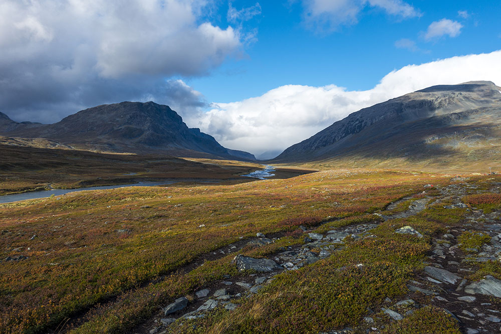
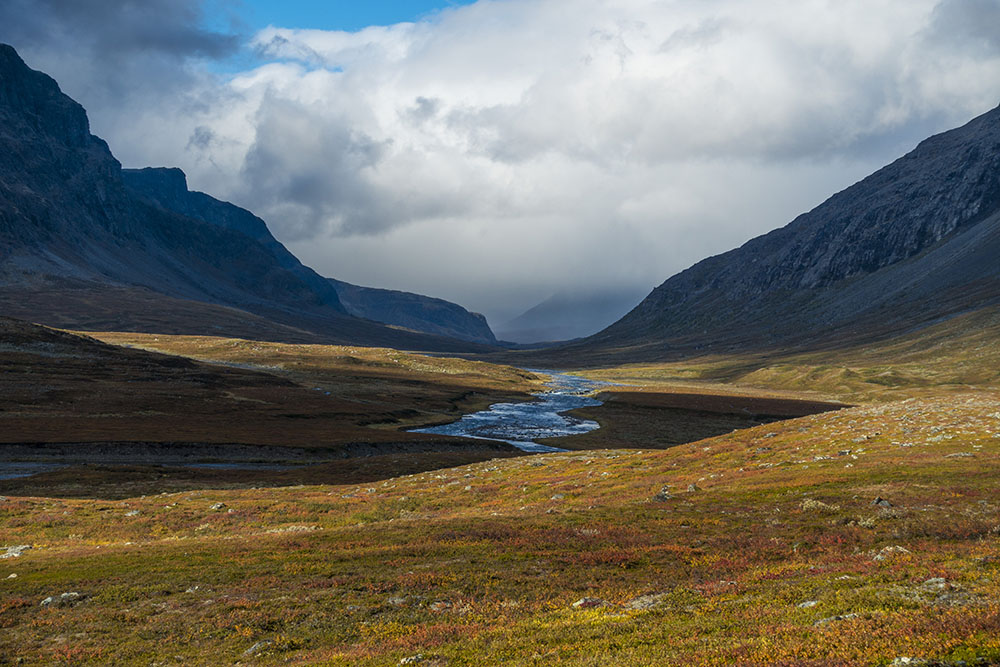
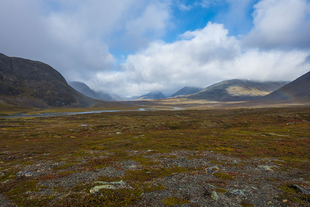
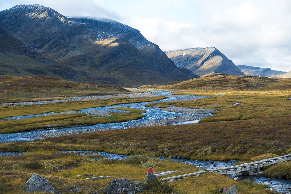
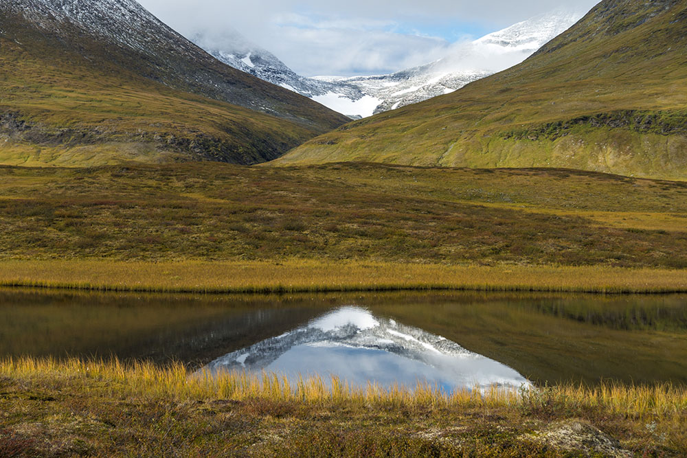
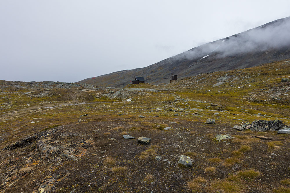
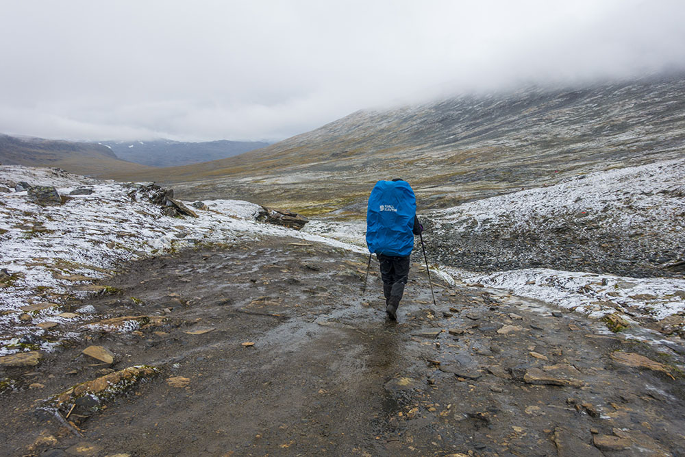
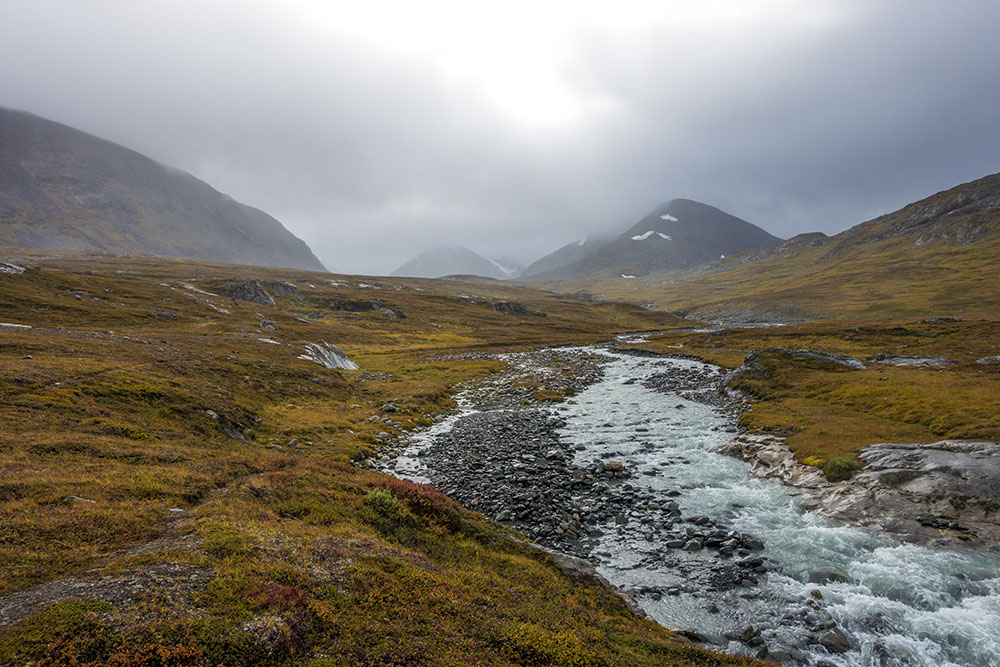
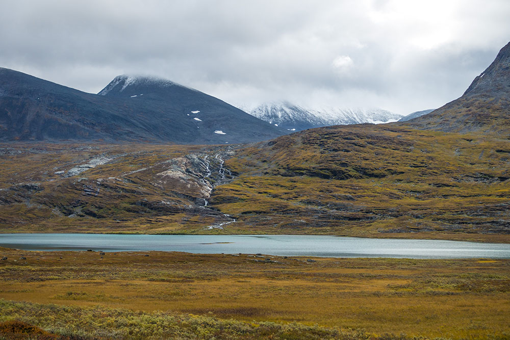
The day started with a hike through the long and scenic Tjäktjavagge valley. Unfortunately the weather was rather gray so we did not get the same beautiful experience as we had yesterday. Still, no rain so that was nice! By lunch we reached the rather steep and demanding trail up to Tältjapasset, the highest elevation on Kungsleden. Just as we cleared the summit it started snowing. Not the tiny hail like snow we have experienced before but rather large and fluffy flakes that actually stuck to the ground making it look more like Christmas than early September. There is an emergency shelter on the very summit and we ducked in to get out if the wind and snow for a bit. Three hikers were already there making lunch. We chatted with them for a while. Then a young German hiker also came in. He had just finished school he said and he was hiking the E1 (European long distance path) roughly 8000 km from Nordkapp in Norway Scapoli in Italy. Very cool! I am more than a little jealous!
I wonder what my next project will be. I am really intrigued by the Te Araroa in New Zealand or The Great Divide Trail in Canada perhaps. Part of me would love to just take off and be a digital nomad for a while. Hmmm… we have not even finished this one and I am already starting to dream about the next hike.
When it was time for us to get going again it was snowing with earnest up at the pass, but it soon turned to slush and rain further down on the other side. Thankfully we now had the hard wind from behind but the weather still made for miserable hiking conditions. Not improved by the fact that it was nothing but rocks to walk on either. Round ones, sharp ones, big ones, small ones, you name it. Rocks as far as the eye could see!
We finally made it to Tjäktjastugan and checked in for the night. This is a smaller hut with only 20 beds but with very generous size rooms. There were quite a few people here already and most seem to hang out in the kitchen. From the sound if it, mostly Germans, although some French and a couple of rather annoying young Swedish chicks giggling in the corner. Still, it was nice to be indoors with a wet blizzard roaring outside.
Dinner time. Tikka masala with chocolate for desert. A sign on the wall in the kitchen marks 370 km to Hemavan… I made the mad dash to the outhouse in the driving rain and am now tucked in listening to the roaring wind outside. The room sleeps eight, we’ll see how many of them snore before long. One is already going, never fails. Still happy to be indoors tonight.
I learned something about myself on this hike… my stubbornness (pannben) really comes to good use. Seems as if I can power through almost anything!


DAY 5
Tjäktjastugan – Alesjaurestugorna
Distance: 13 km
Date: 7 September 2016
STF hut: 68.137016° N, 18.413442° E
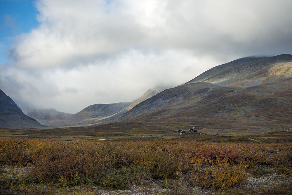
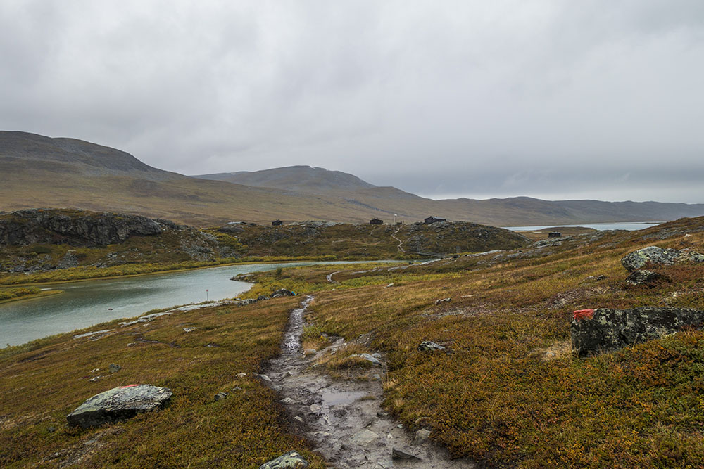
Slept ok actually. After a quiet breakfast we packed up and got on our way. Since we have decided to stay at the SFT huts for the reminder of the trail it was a short and easy stage today. We arrived at Alesjaurestugorna around three. Rather nice with a mellow day though, especially since tomorrow will be along one, nearly twice as long as today at 22 km. It is a bit surrealistic to think that we are so close to the finish line now. Mixed feelings and I just can’t seem to stop thinking about it either. I would like to stay out a lot longer. I just need to pick up my winter gear, or choose a warmer climate… My body could use a little rest and some rehab of the knees would probably be a good idea as well, but other than that I feel I could walk forever! I need to figure out how to do that… somehow!
We walked in on and off rain drizzle all day. At least temperatures were a little bit more agreeable today not battling a freezing wind like we had done yesterday. But I really hate walking in rain pants! I really need to get a pair of full zip with for my next trip. Easy on/off is a MUST!! Come to think of it, I need new hiking pants too, I can pull them over the hips without unbuttoning them at this point.
I almost finished my book. Outlander has been such a great companion on this trip! I have decided to continue reading ahead, I cannot wait for the tv-production to catch up. The book weigh as much as a Kindle e-reader though, so for my next thru-hike I think I will bring that instead.
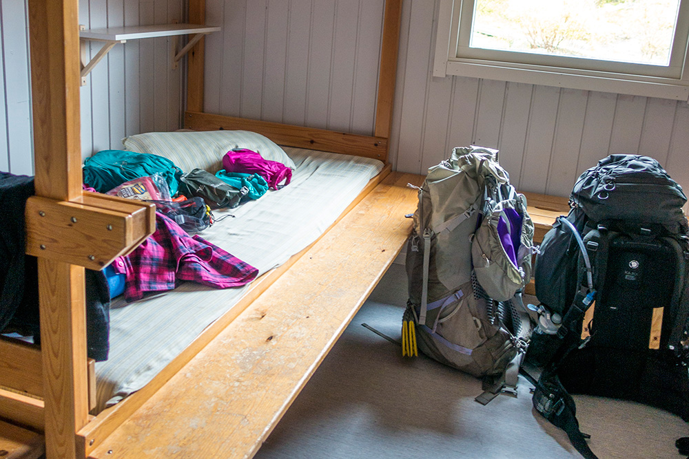
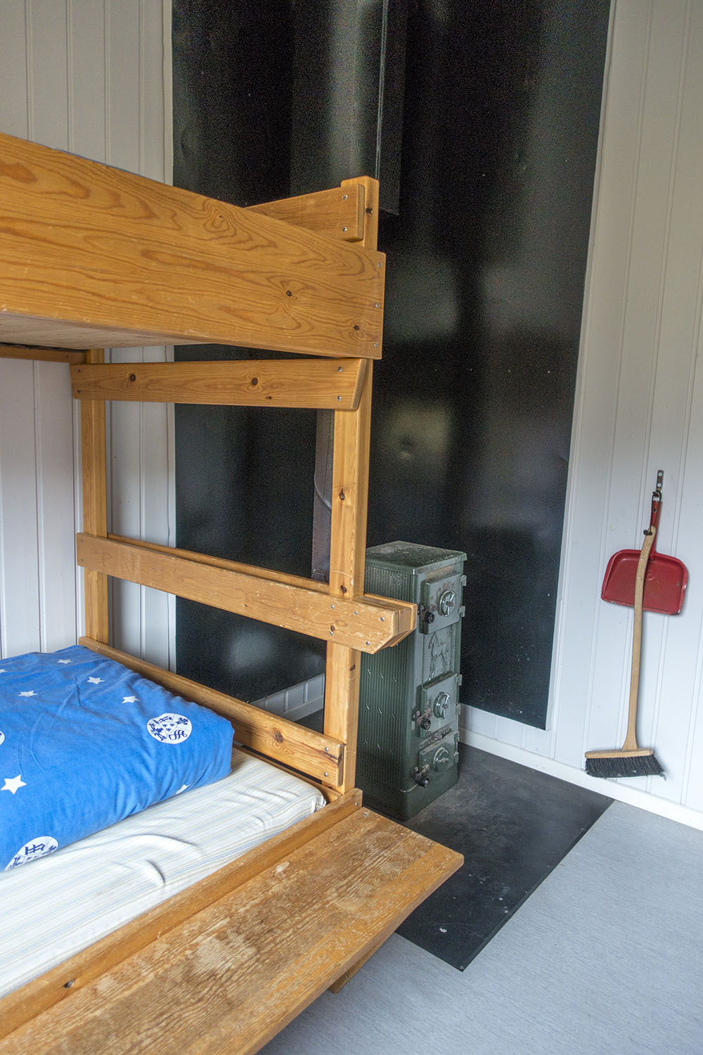
A quiet evening, the hut is only half full. It has been newly renovated and is very bright and clean. Nice that they kept the old cast iron wood burners and old bunk beds in all the rooms though, otherwise it would have been too “new” feeling. lacking character. We hung the tents from the upper bunks in an attempt to dry them out a bit since we’re not going to use them for a few days. We have a long stage tomorrow so it is time to tuck in. Really windy outside. Rain mixed with snow again too… Nite nite.


DAY 6
Alesjaurestugorna – Abiskojaurestugorna
Distance: 22 km
Date: 8 September 2016
STF hut: 68.286240° N, 18.590607° E
Woke up feeling a bit nauseous… not good. Forced myself to eat breakfast even though it was hard. We set off and I figured I could walk it off in time. I couldn’t… The nausea got progressively worse all day and this was one of the longest stages on the whole hike, 22 km. Wonderful timing! I did not dare to eat anything more today as I felt like it would bounce right back up again. I tried to drink water though, but even that was hard to do. So I basically walked 22 km with a raging case of nausea on an empty stomach. One of the hardest things I’ve done in a while, but I made it.
We finally got to Abiskojaurestugorna and checked in. I still could not eat anything and started to feel a bit feverish. My body was burning! So I just went to sleep in hopes to be feeling better in the morning… We just have one more hiking day left. Failure is not an option!


DAY 7
Abiskojaurestugorna – Abisko
Distance: 13 km
Date: 9 September 2016
Mountain Station: 68.358780° N, 18.785976° E
I slept for about 12 hours. I woke around midnight though and realized that the fever had burned itself out and I could peel back the covers and shave off some clothes as I was no longer freezing. Thank goodness! I slept pretty good after that. I tried sipping resorb (fluid replacement) whenever I woke in an attempt to replenish it somewhat.
I felt weak but alright in the morning. A bizarre sense though… I almost felt like my body had gone through a rebirth. Like I had died and woke again, a baptism by fire perhaps? Maybe I am delirious… Still no appetite even though I haven’t eaten anything for 24 hours… It will not be easy to hike on no energy stores, so I forced down some breakfast. I felt a little wobbly after that, but at least I kept it down. I ate nothing more on the last stage to Abisko. Tried the soup for lunch but gave up. Just drank some warm water. We are going for the 3-course meal at the mountain station tonight though. Kamikaze mission…
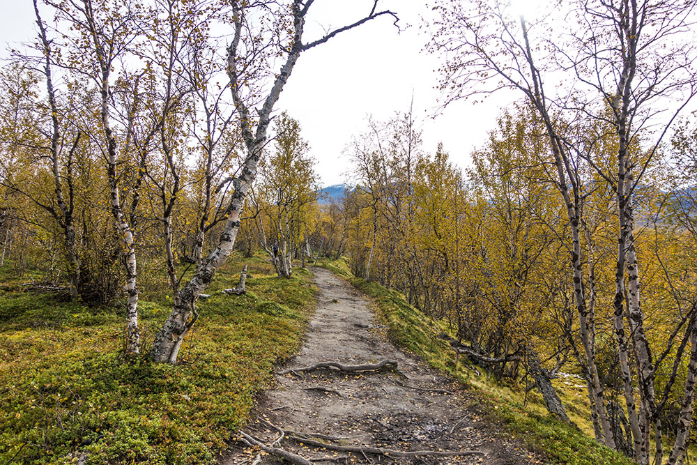
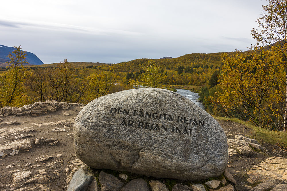
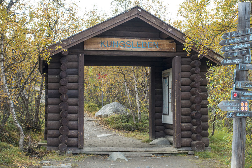
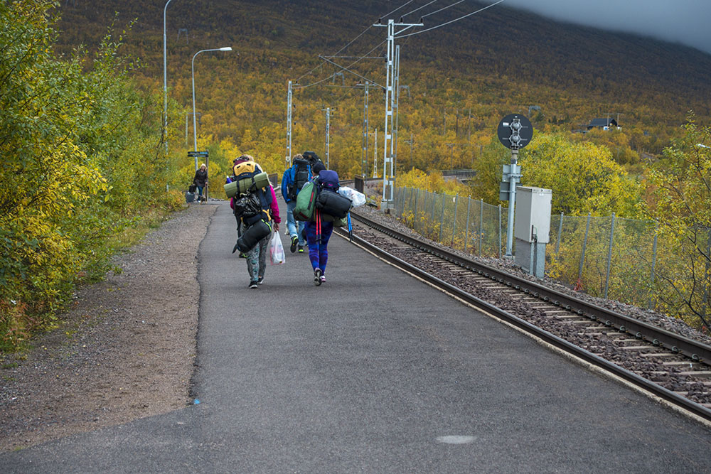
Last stage to Abisko was bittersweet. While it is very cool to actually complete the hike, my first thru-hike, I did not want it to be over! The hike was fairly flat and easy though. Good for me since I am still quite weak. The closer we got to Abisko the wider the trail got. I see what they mean about the “highway to Abisko” feeling. Not so nice. We met some more really strange people too. The closer to civilization we got, the stranger they became, underdressed and with really strange gear.
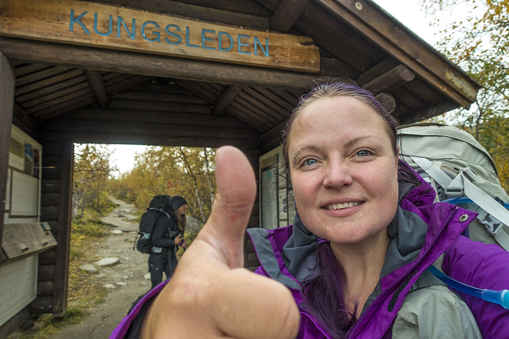
Reaching the final trail head we hesitated. None of us wanted to walk through the portal. We both looked at each other doing a mental check of how much food we had left and how far we could get if we turned back around… not too far on a spare dinner and some leftover nuts. So we set up the cameras and did some photo projects to get our minds off it for a bit. Finally I set up my camera to shoot a series of photos as we stepped on through the portal – and that was that.
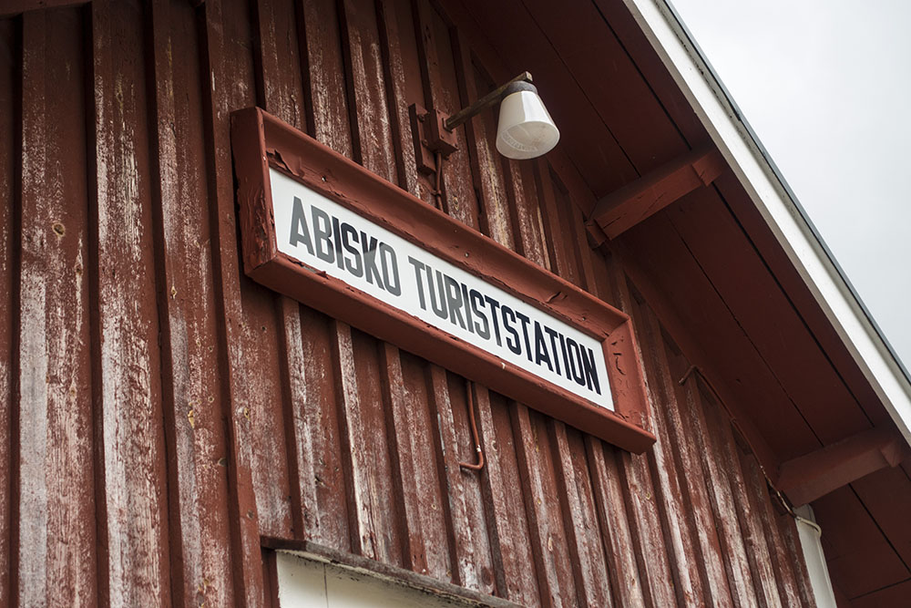
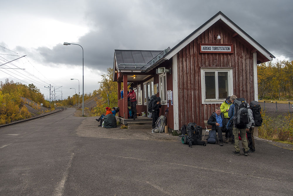
We walked over to the Abisko mountain station and checked in to the hostel. We share a room of 10 beds with another Gröna Bandet hiker named Johanna. She is actually walking even further as she started in Strömstad back in May. Very cool! She will finish soon too though and shared our feeling of melancholy.
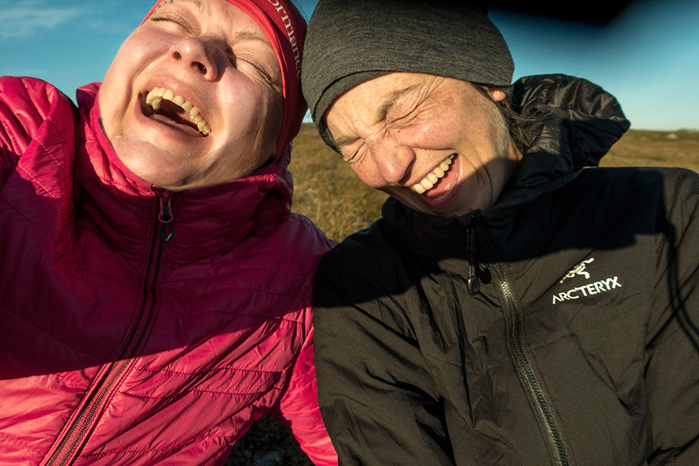
We celebrated the finish with a bottle of Cava trying to shake the somber mood. Because it really is very, very, very cool! I am proud! But I am not ready for reality to come crashing in just yet, so it will be nice to stay here for a coupe of nights before we start the journey back home. I have been really good at disconnecting and just spending time in the here and now while on the trail. Quality time with my own thoughts, just as I had hoped I would. It was a simple life in many ways… basic needs – everything else became secondary… Readjusting will be all the harder for it I suppose. I guess I am not sure how I am supposed to to feel about it now that it is over. I wish I could just feel exhilaration and joy, and I do… but with a large portion of melancholy mixed in.


Almost at the finish line…
DAY 8
Restday/Travel day – Abisko
Distance: 13 km
Date: 10-11 September 2016
Mountain Station: 68.358780° N, 18.785976° E
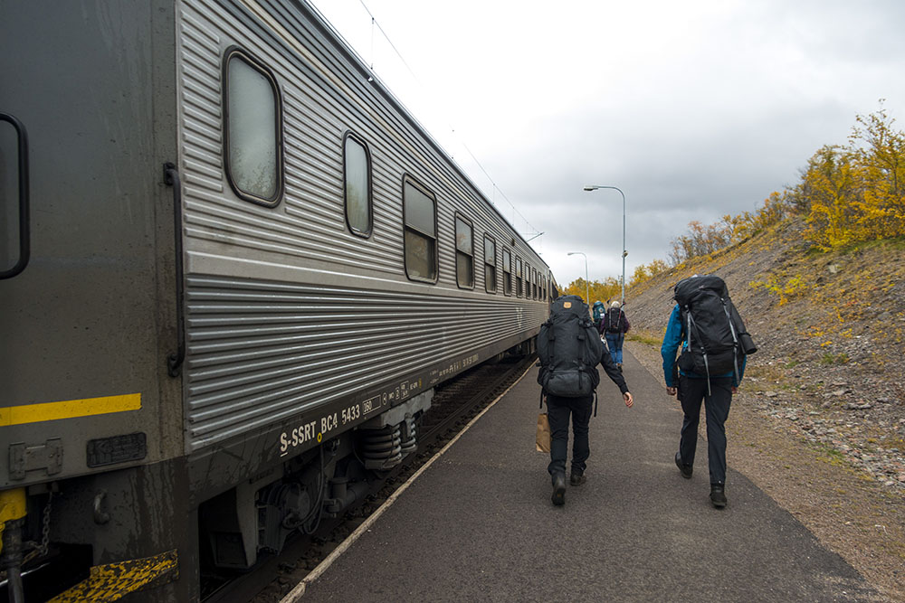
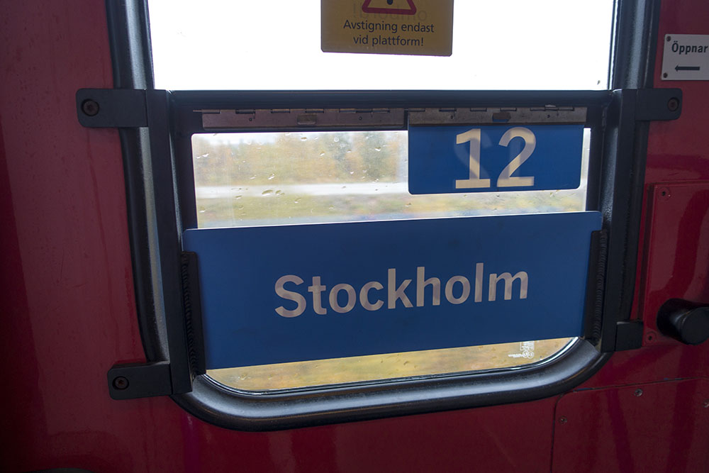
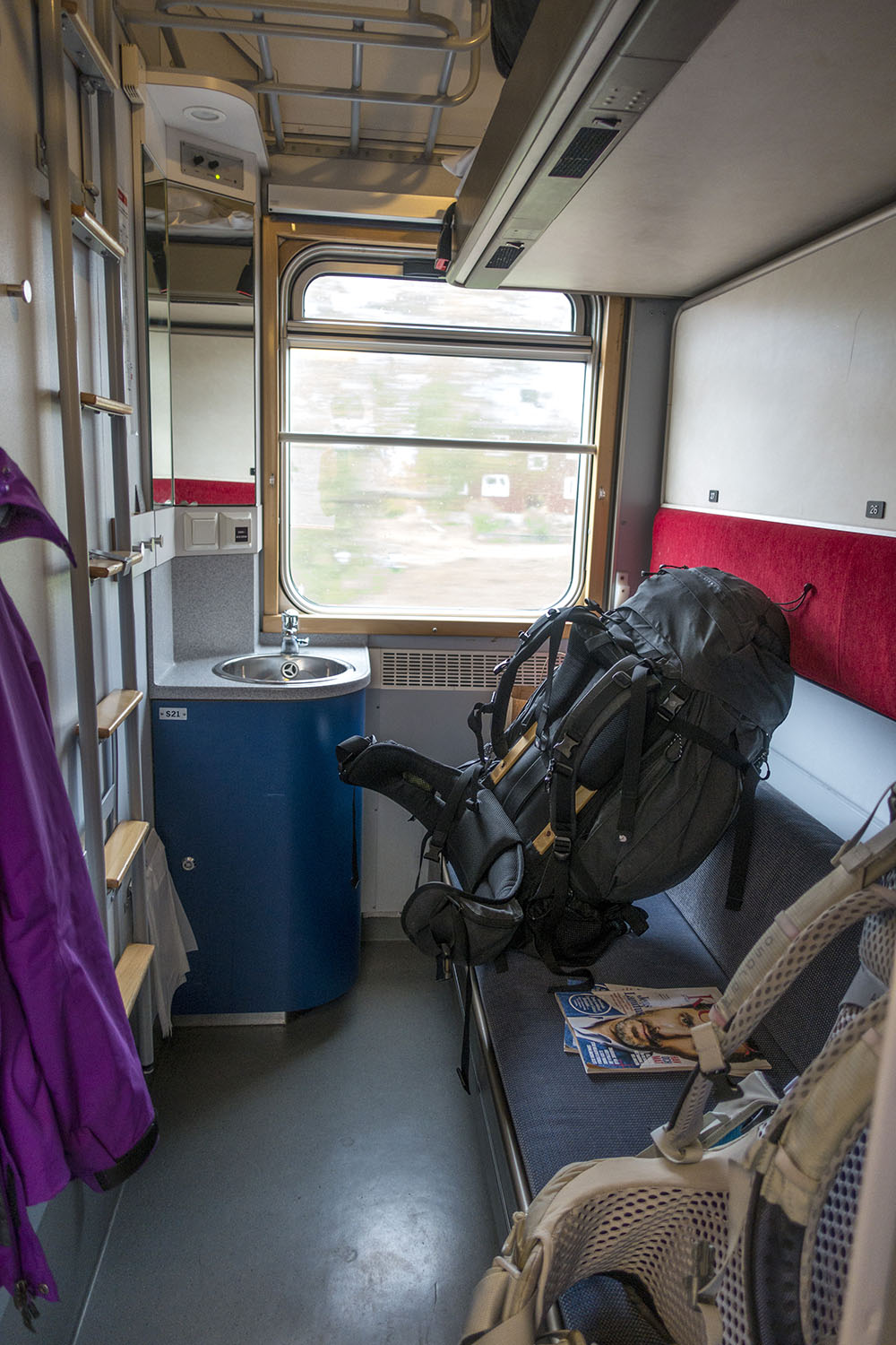
Spent a couple of nice and quiet days in Abisko. Decompressing. Now on the train south… I wonder how long I can stay in this mental bubble? I think I will need a little time before I can reflect on all this… see my next post.
Song of the day: Vintersaga by Amanda Bergman “…det är då som det stora vemodet rullar in…”


Leave A Comment