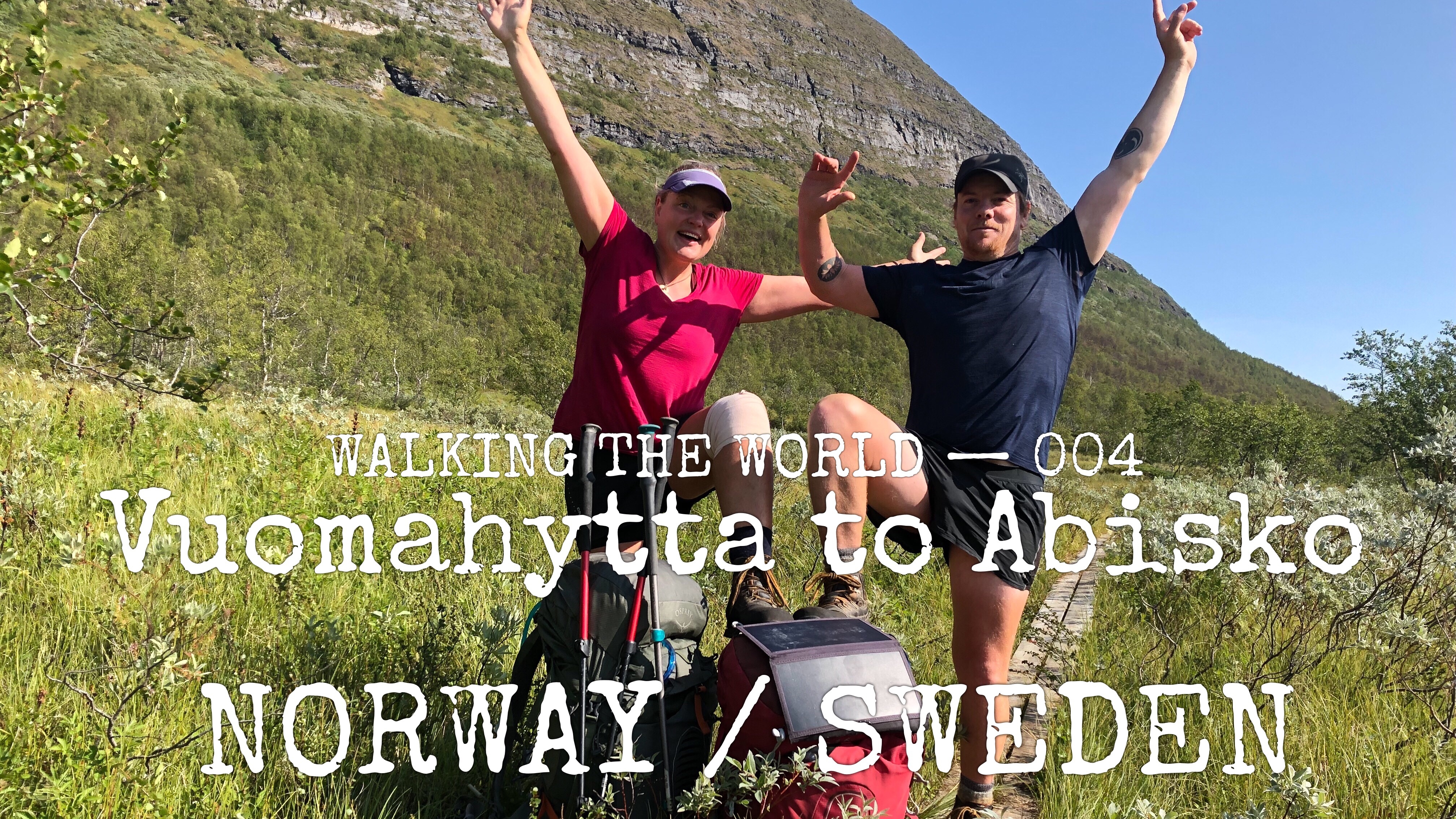
Walking the world
- Norway/Sweden: Vuomahytta-Abisko
- 9 -14 August, 2019
- 123 km (766 km in total)
- E1 European long distance path: Scandinavia, Green Ribbon (Gröna Bandet), The Arctic Trail (Nordkalottleden)
Trail description
Terrain
This part of trip started with a long day of travel to find ourselves at Innset, two busses a plane and the rest hitching we arrive 35 km away from Karma’s accident site.
It was a two day hike in the wrong direction of our hike to get back to our restart point (accident site), we did a u-turn and headed back on our journey south.
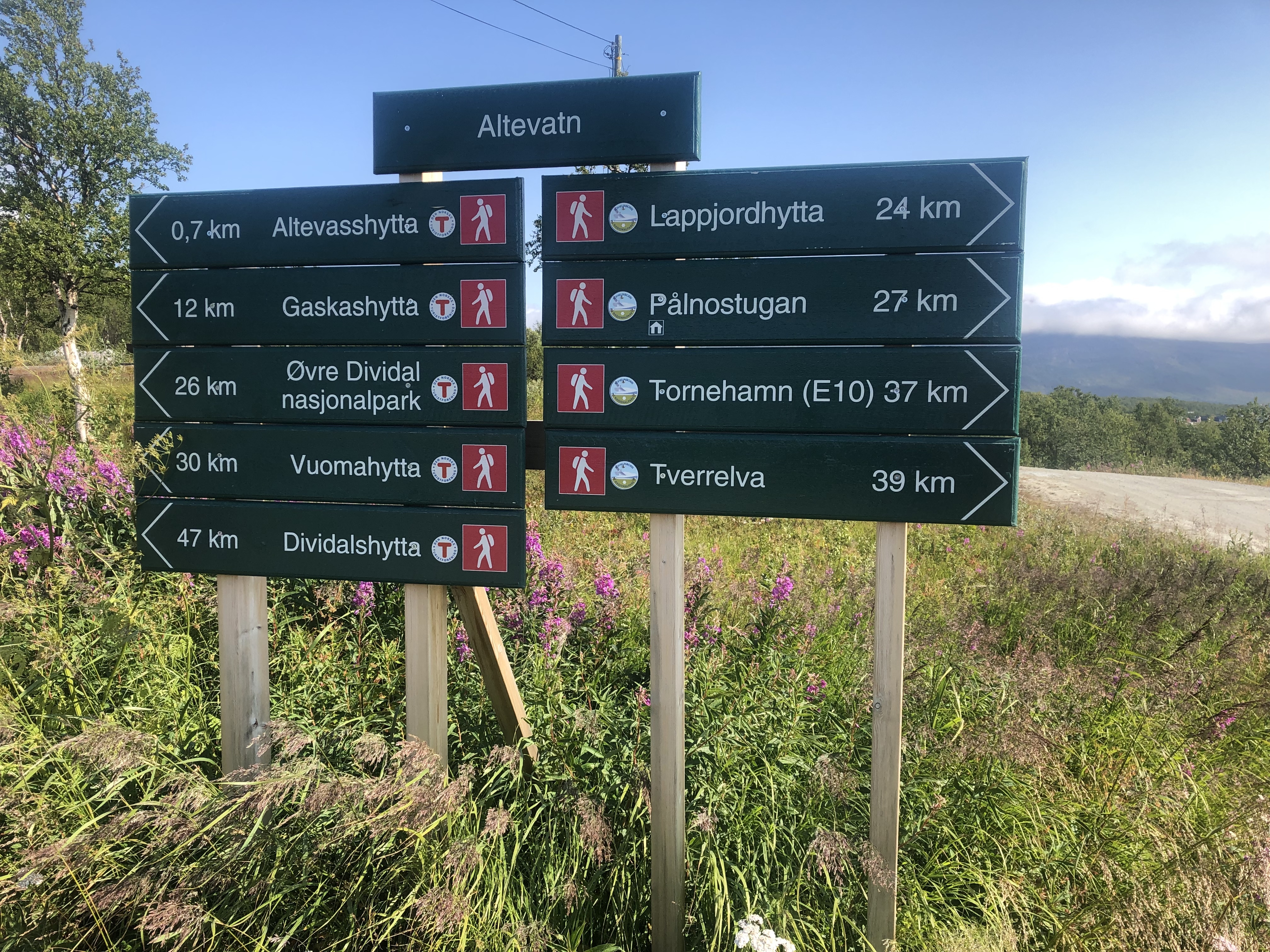
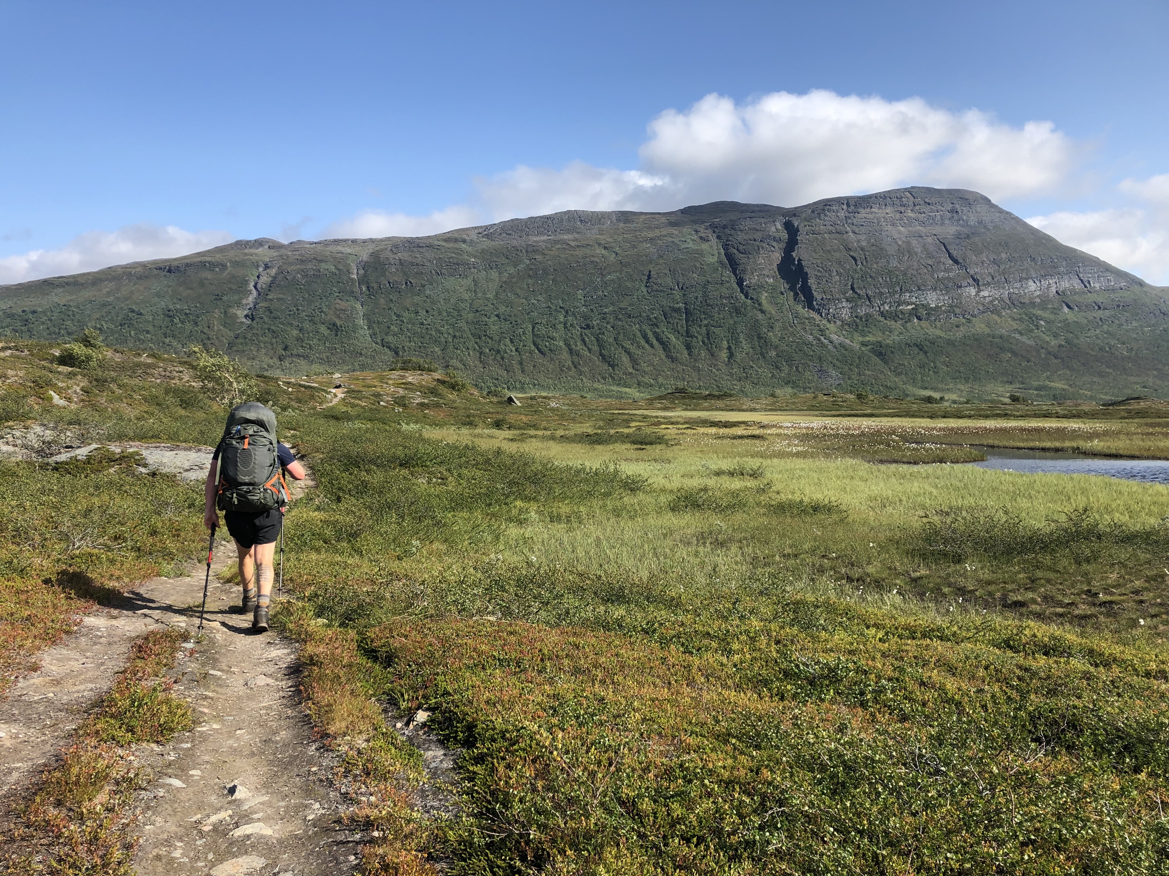
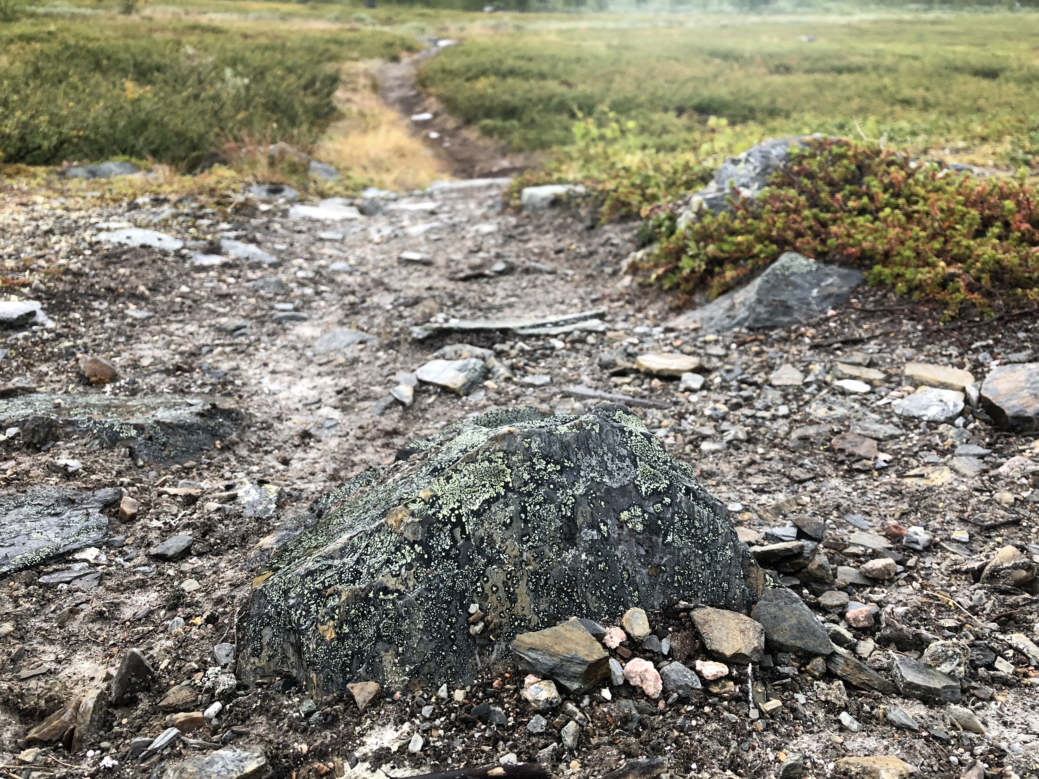
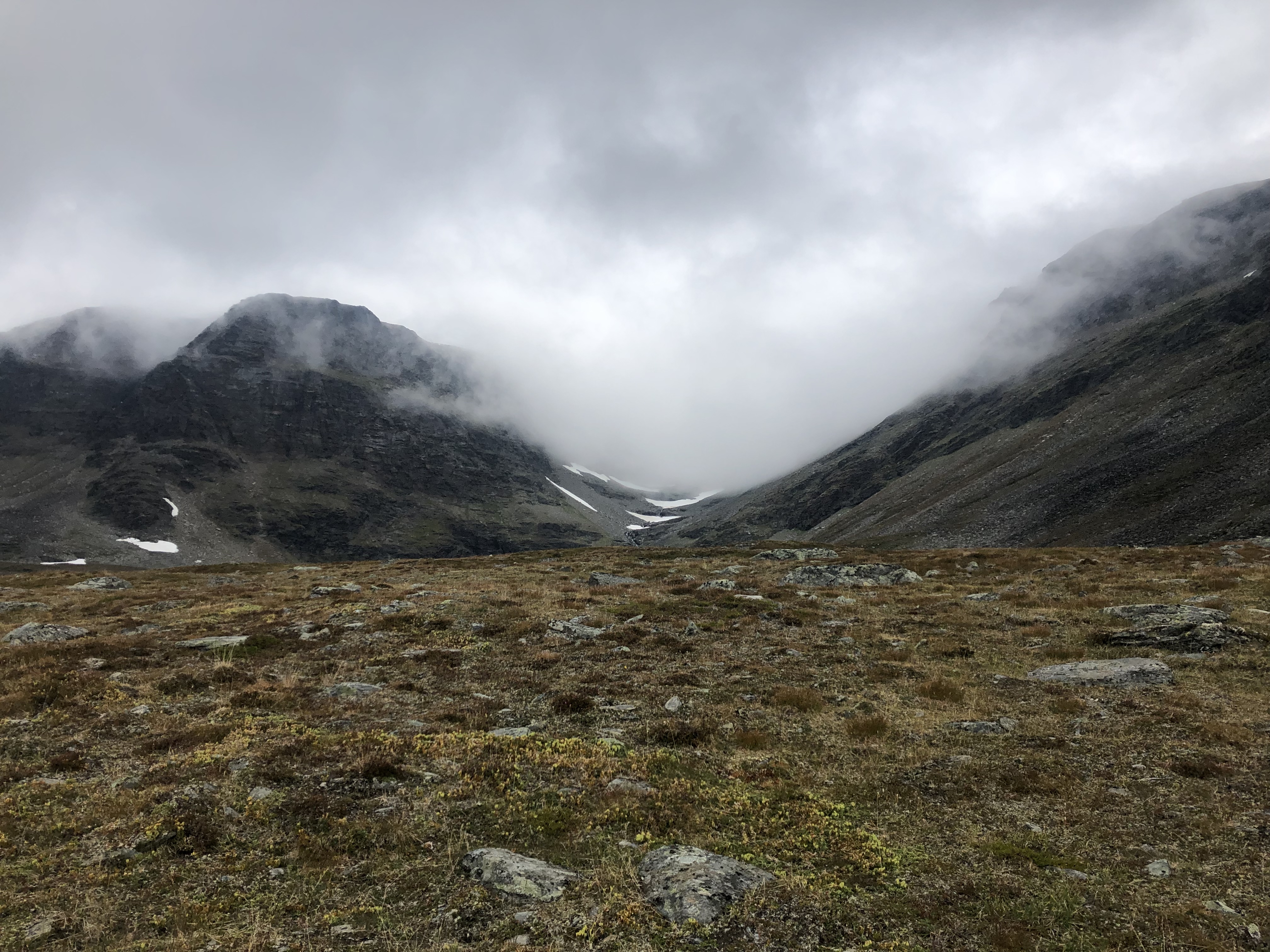
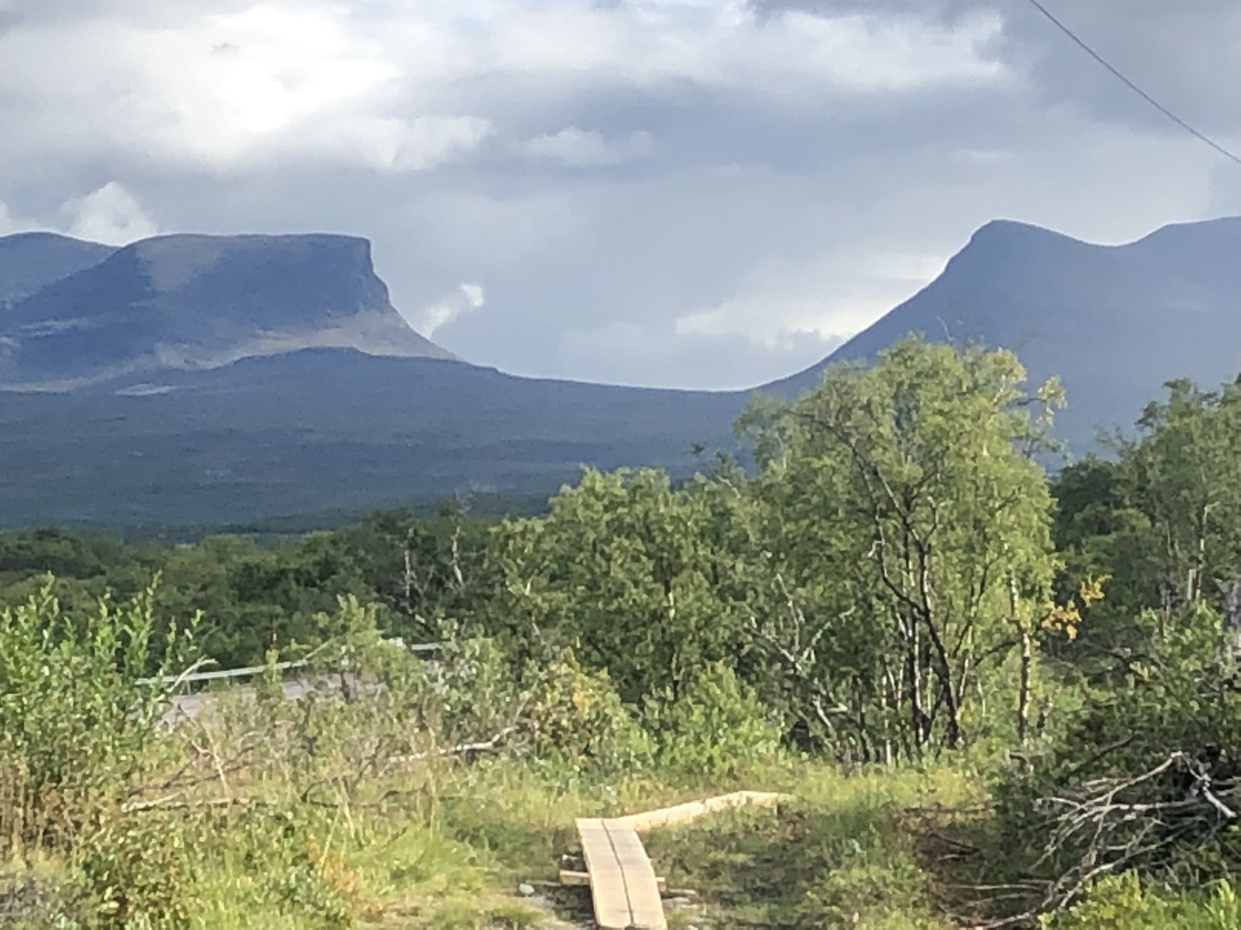
Vuomahytta stands at 720m overlooking a beautiful mountain lake, we head off up the valley, the high pass was wide and rocky leading down along side a fast flowing river canyon.
We make our way around a huge man made lake created by a hydroelectric dam. We follow a road made by the power company to the trail again and head over the mountain range dividing us from Torneträsk lake and Abisko national park. A couple of river crossing and a good push we get to the high point, with absolutely stunning views. We take our time desending.
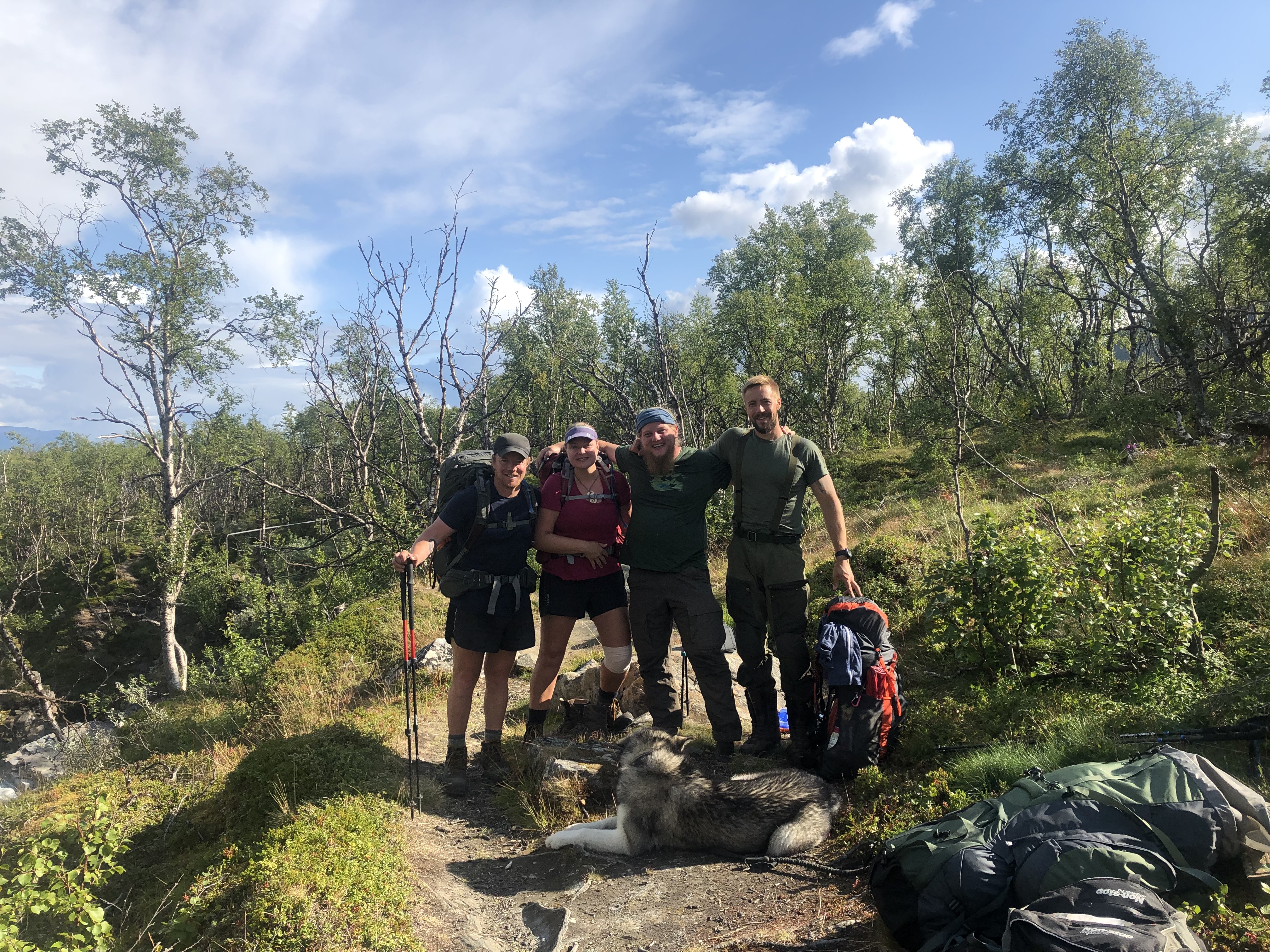
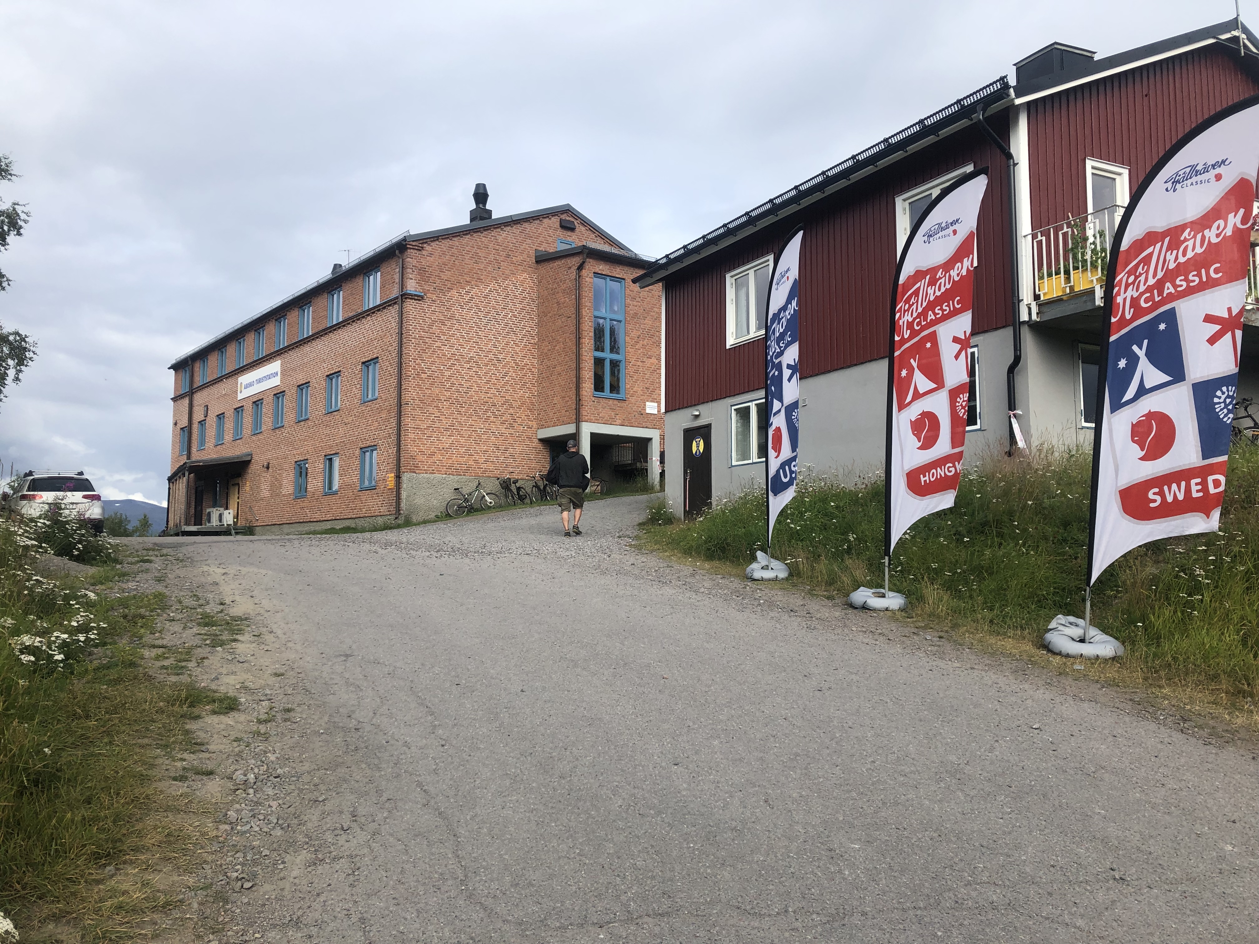
We camp up one last night before Abisko with our new hiking friends, a Patrick from Finland with Mauri the malamute dog, and Rene from Germany, then make a final dash for the mountain station. We cross the border back to Sweden and follow an old dirt road for the end of the day to our destination. We were actually cheered through a finish line by a large crowd of people mistaking us for Fjällräven classic (huge hiking event) hikers. Funny.
Trail journal
Day 44: Innset
Distance: travel day 0 km (643 km total)
Weather: sun and clouds, evening light showers
After the helicopter rescue down from the mountains just 16 days ago, we are back!
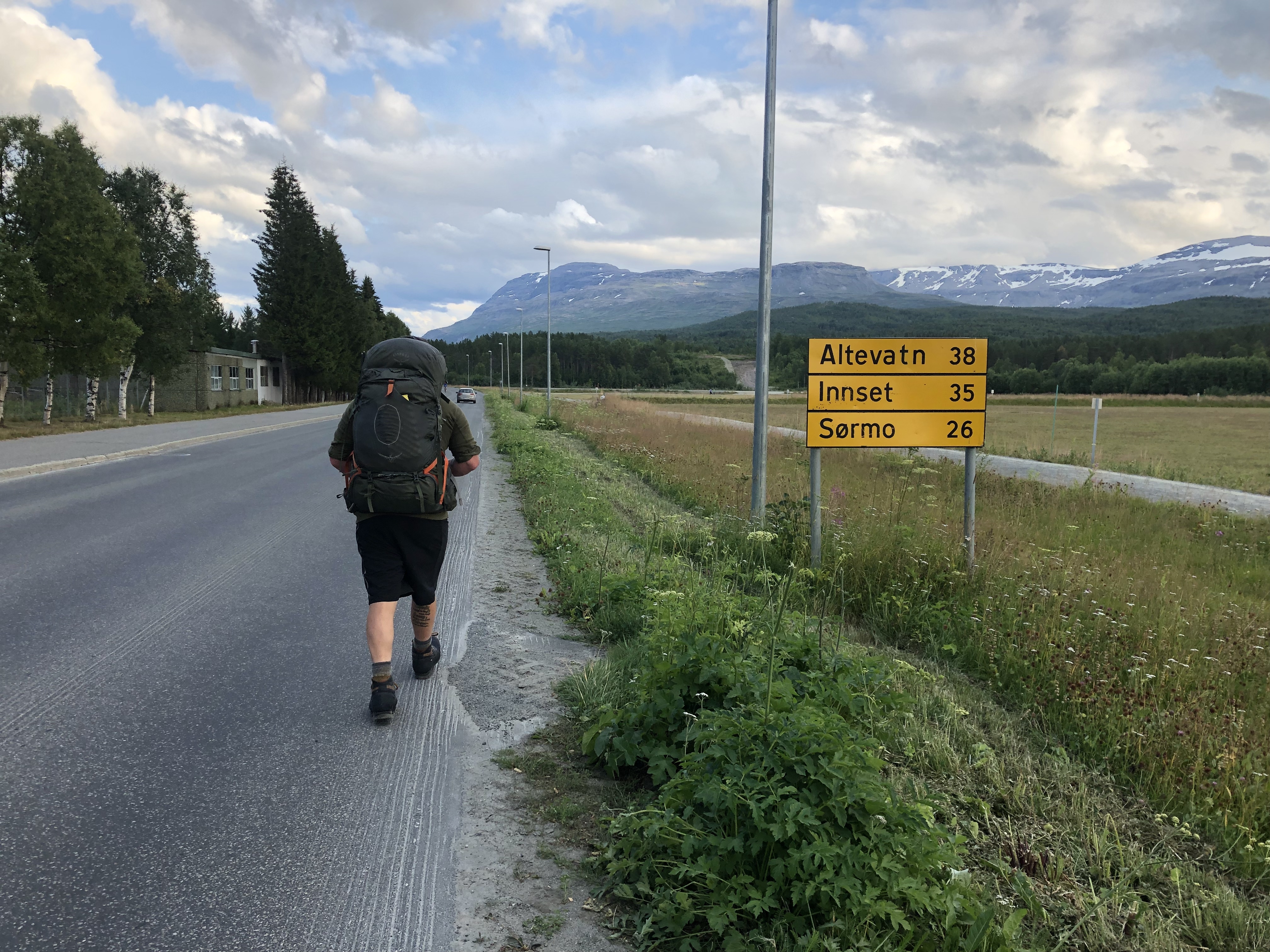
We are working our way back towards the accident site where we will pick up the trail towards Abisko again. We started traveling at 5:30 this morning with a ride from dad to the bus station in Gothenburg. Next, a 3-hour bus ride to the airport in Oslo followed by a flight up to Narvik again. The airport shuttle dropped us off in Bjerkvik where we hitched a ride to Setermoen with relative ease. Next we started walking the long road toward Innset, hoping for a hitch but nit really expecting one on a Friday night on this tiny road to nowhere. But then a very nice woman pulled over and drove us the whole way here, some 30+ km, even though she was only actually going about half the way. Super cool!
So we are camped up close to the nearest trailhead leading back to the accident site. Excited!
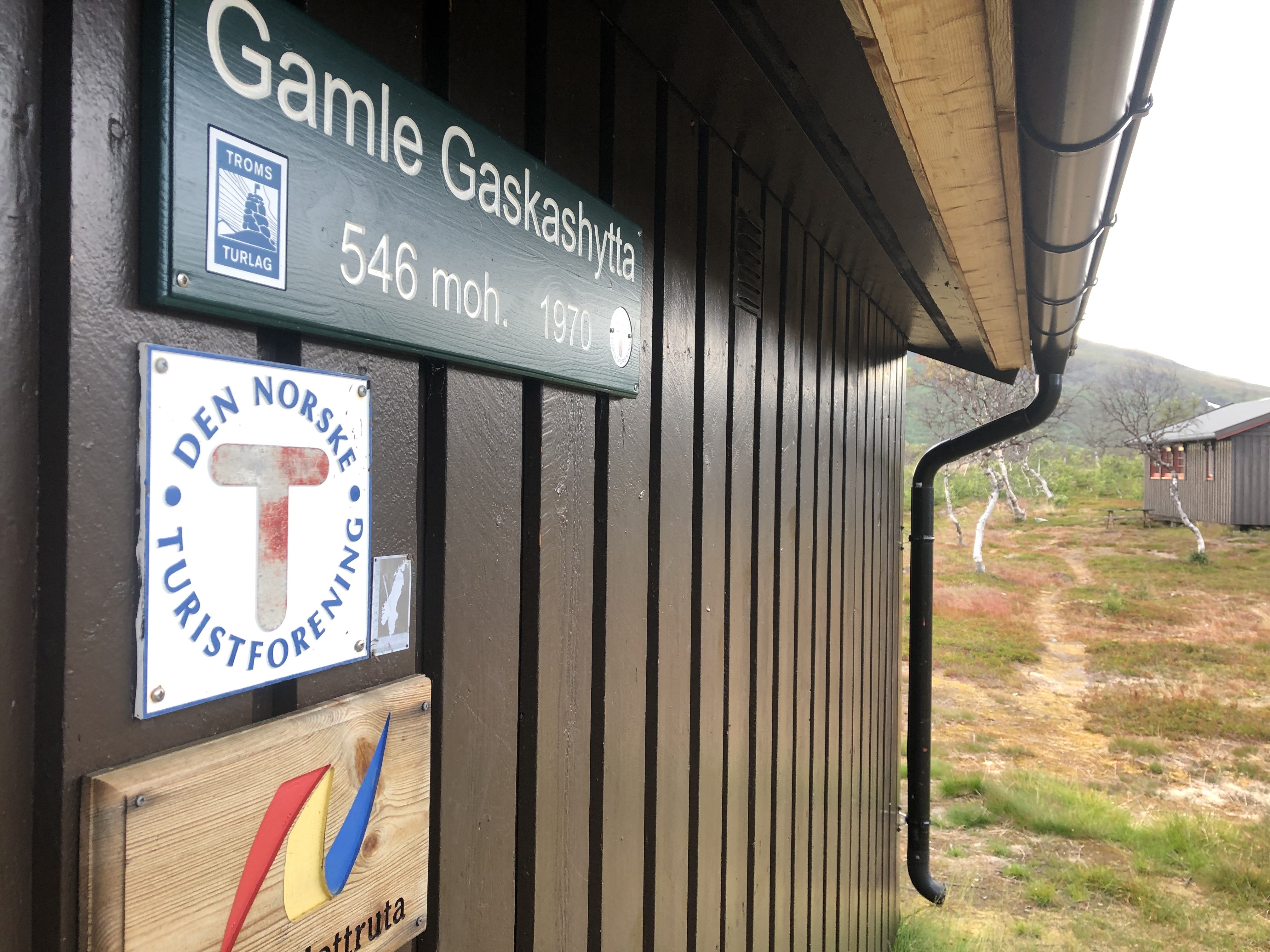
Day 45: Gaskashytta
Distance: 15 km (658 km total)
Weather: sun and clouds
Rain on and off through the night but we slept through it all and did not get up until 9! I guess we needed the rest. Traveling can be exhausting.
Weather today was nice. A good breeze to keep mosquitoes at bay and sunny with just a few scattered clouds. A 3 km road walk brought us up to the trail leading towards Vuomahytta. We really want to pick up where we left off. We have planned a sort start with a 4-day return to get to the accident site and back.
The knee felt ok. I was a little concerned not wanting to put too much strain on it too soon, but it has really been fine. It actually got better the more I used it so that is phenomenal! Scott’s hip bothered him a bit early in the day, but it also got better as we went. I guess we just needed a bit of a warmup after a couple of weeks off trail.
We only hiked 15 km today, in line with that soft start ambition. We felt ok, but a bit low on energy after being off trail for so long. It always takes a few days to get your trail legs back. It feels really good to be back on trail though!
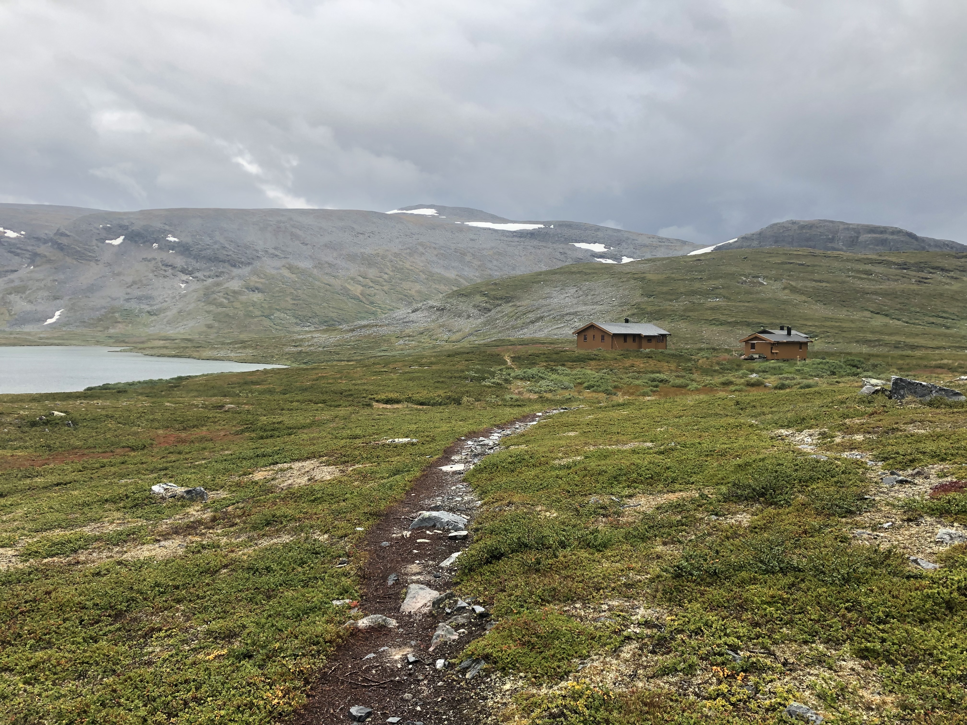
Day 46: Vuomahytta
Distance: 29 km (687 km total)
Weather: clouds, drizzle/rain in the afternoon/evening
We had a good nights rest. We were keen on getting up to Vuomahytta so we could complete our mission to the accident site and turn back around south again. It really messes with your head to be walking in the wrong direction!
We got to the hut around 13:30. We took a long break in the sun for lunch before leaving our packs under shelter and slack-packing the last 6 km up to the helicopter site. Dark clouds.
Finally, mission accomplished! We hiked in to the accident site and had a conversation with the rock… then hiked back. A 12 km return in 3 hours. Nice to go light and fast without packs though.
Day 47: Altevasshytta
Distance: 29 km (716 km total)
Weather: sun and clouds, warm
Beautiful morning. Quite magic with sun and clouds slowly lifting from the valleys. A big push back to Innset where we had been just 3 days ago. One day ahead of schedule, but my knee is feeling great, pretty much back to normal, so the soft start didn’t really last, lol. We are feeling the time pressure though… winter is coming!
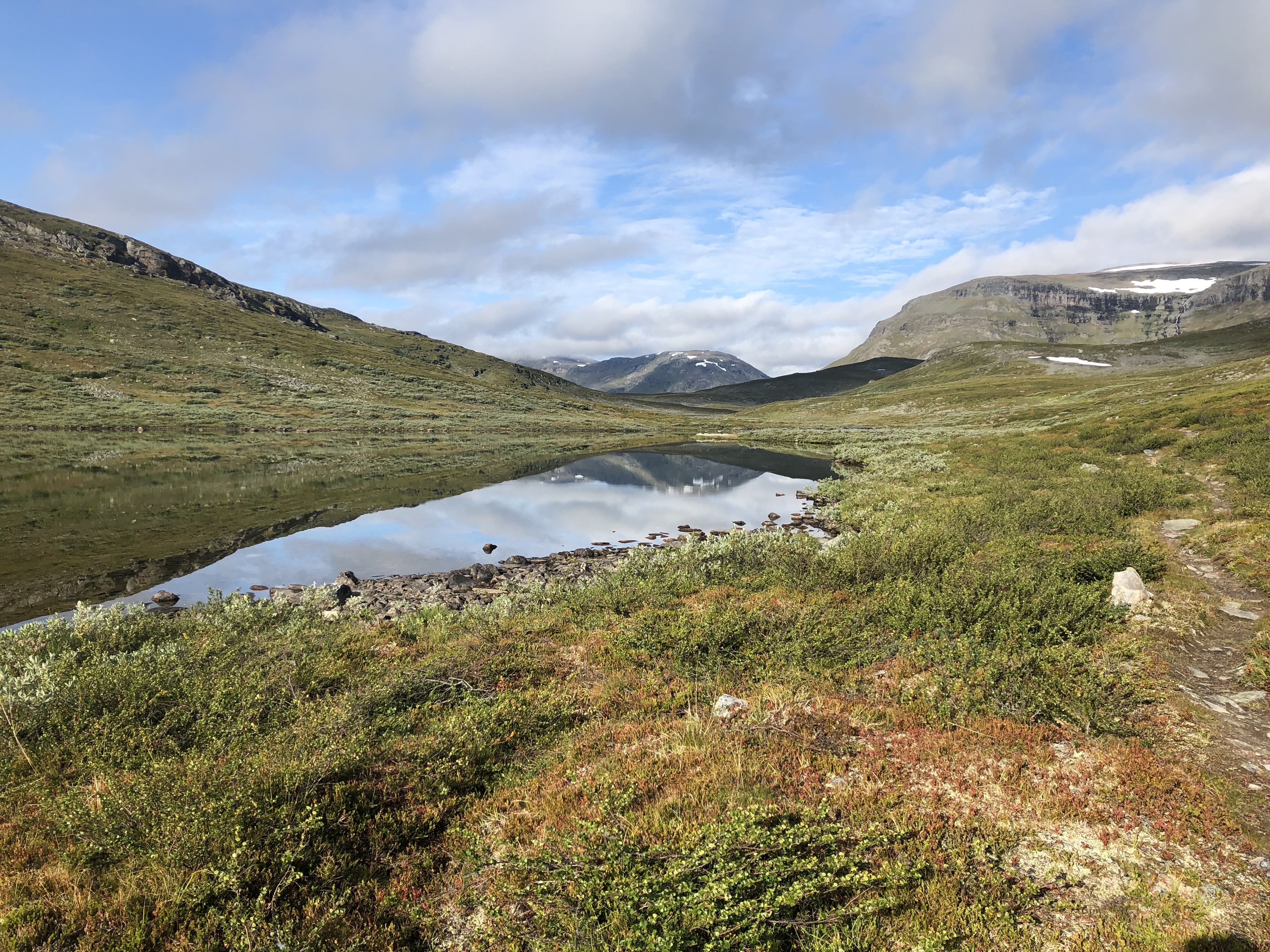
The hike between Vuomahytta and Gaskashytta was beautiful, mirror calm lakes surrounded by mountains. The walk in to Innset on the other hand was pretty uneventful, sidling around the mountain through birch forests skirting the man made lake above the dam and we were happy to get it done. It is hard to retrace your steps, probably why we love thru-hiking or long-distance hikes. You never know what’s around the next corner.
Day 48: Jukkasjarvi
Distance: 27 km (743 km total)
Weather: sun and clouds, warm
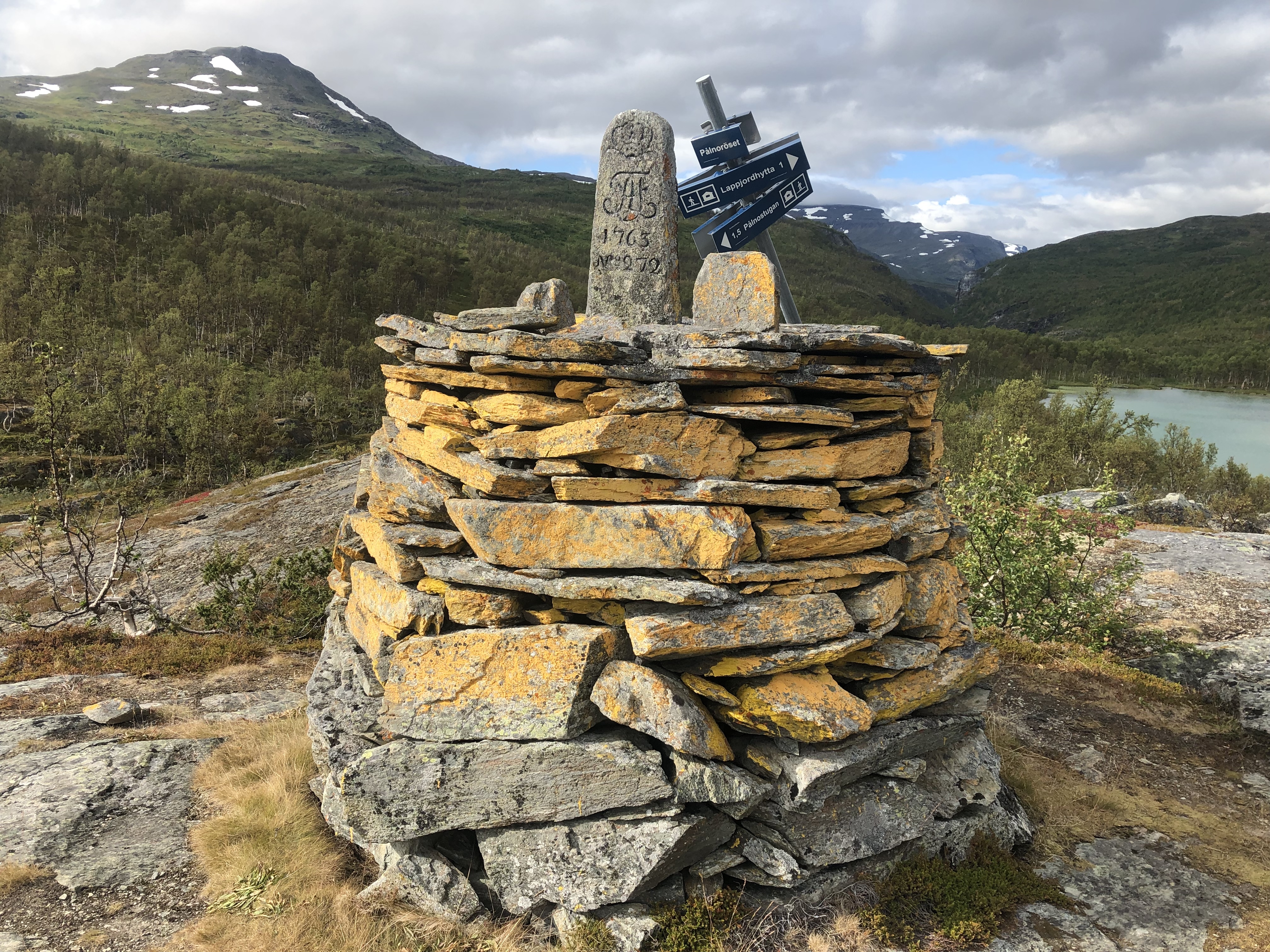
A nice day crossing over from Norway into Sweden again. Up and over a mountain pass. Pretty scenic and peaceful.
Camped up by Torneträsk Lake… went for a swim… just chillin’ for a few hours. So nice with all this daylight and long summer days. We got some company later on by the Finnish and German guys we met at Vuomahytta a few days ago, and then the Swedish/Iranian hiker we met at the hut last night showed up as well. So a nice little camp circle by the lake. The first for us on this trip.
Day 49: Abisko
Distance: 23 km (766 km total)
Weather: sun and clouds, warm
Nice and quiet morning by the lake. Met a Swedish couple right before we set off in the morning. They were doing the Gröna Bandet (Green Ribbon) walking north, so they should finish in about a week. They recognized me from Facebook and are following our journey. Cool!
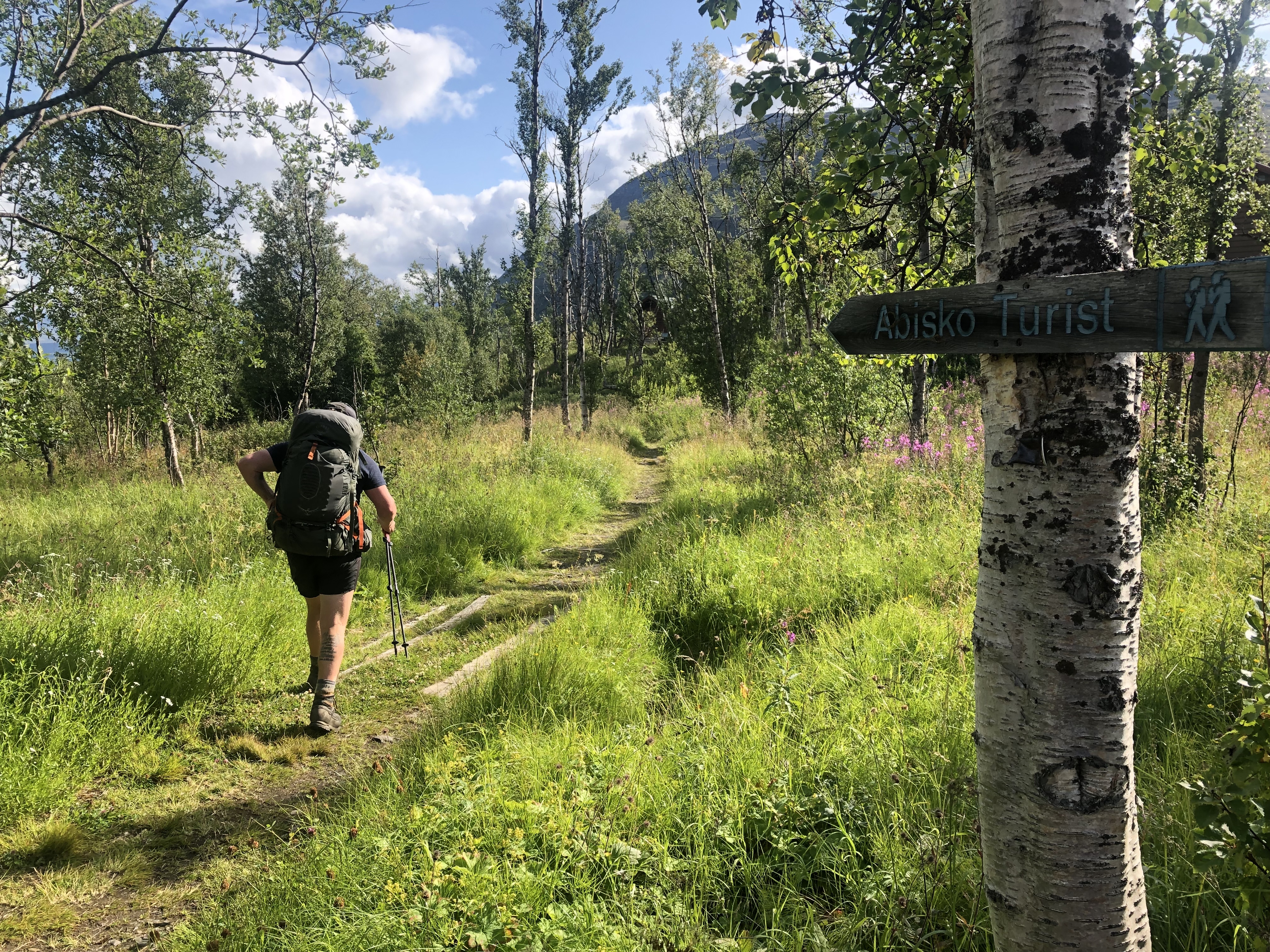
A rather uneventful hike into Abisko. A bit sweaty, it was rather warm and humid. But once we reached the mountain station things changed dramatically! We were swarmed by people, cheered as we hiked into the courtyard across the “finish line”. Fjällräven Classic, a huge hiking event with thousands if participants was in full swing. Madness!
We got some falafels, cold drinks and our resupply box. The station is fully booked for the event, and the original plan was to hike on. But since we are not allowed to camp in the National park it would be a very long day. Plus our new Finnish/German friends are taking a zero here, so we decided to pay for a tent site and at least stay the night. A shower is included too, not a bad idea that either.
Tomorrow we head off again. About 3-weeks behind schedule but we are super happy to be back out!


Leave A Comment