
WHERE: Lone Pine — Echo Lake (South Lake Tahoe): California, USA
WHEN: March–August, 2018
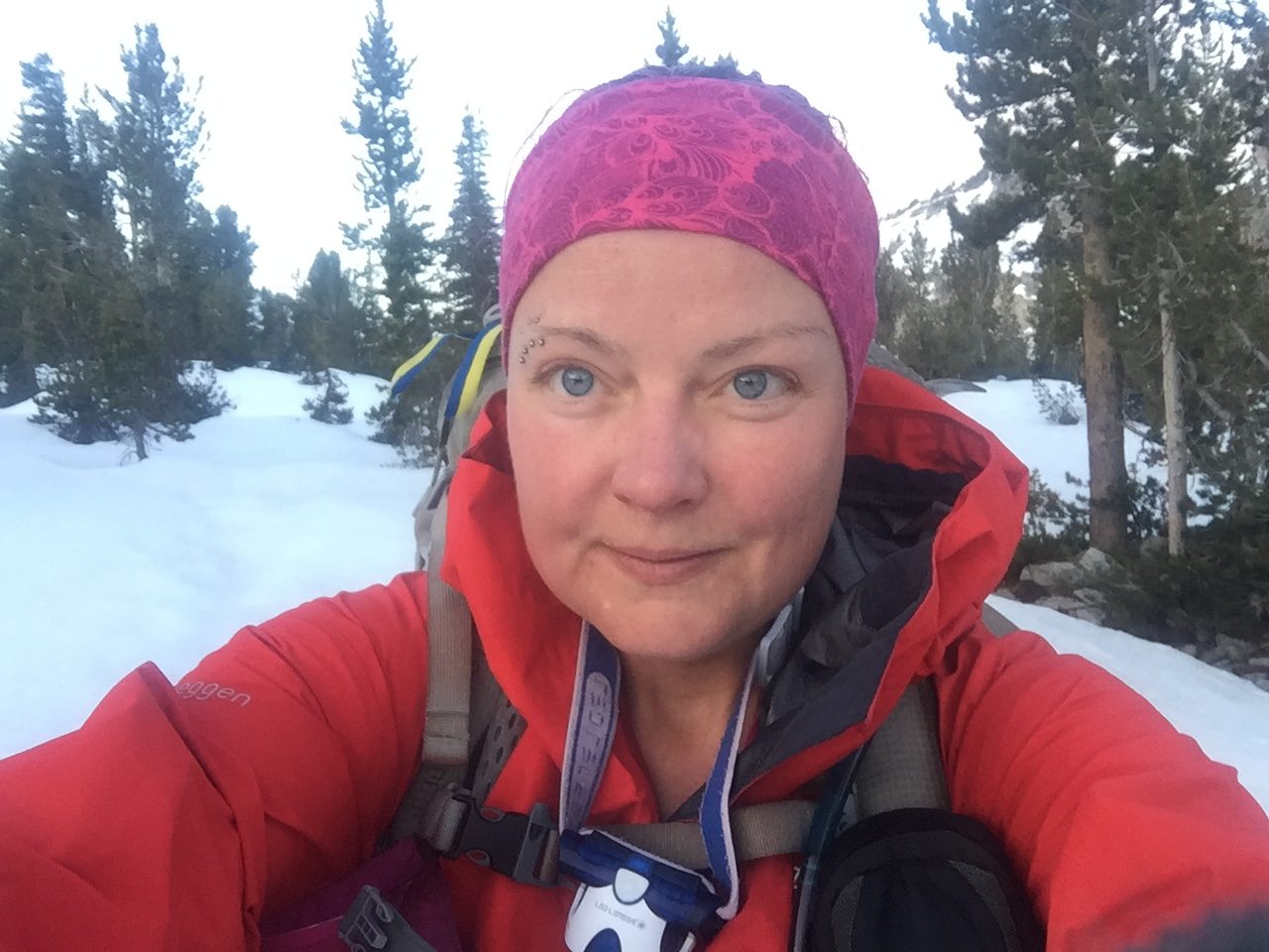
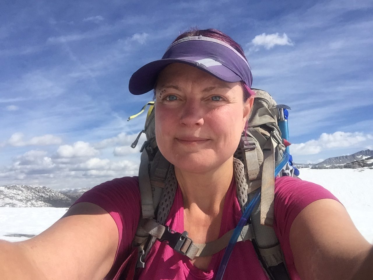
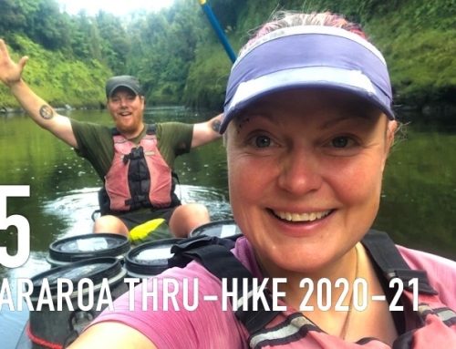
WHO: Karma
OBJECTIVE: Pacific Crest Trail (PCT) thru-hike
DISTANCE: 745 – 1092 mi (back on track, total miles walked: 1398.5)
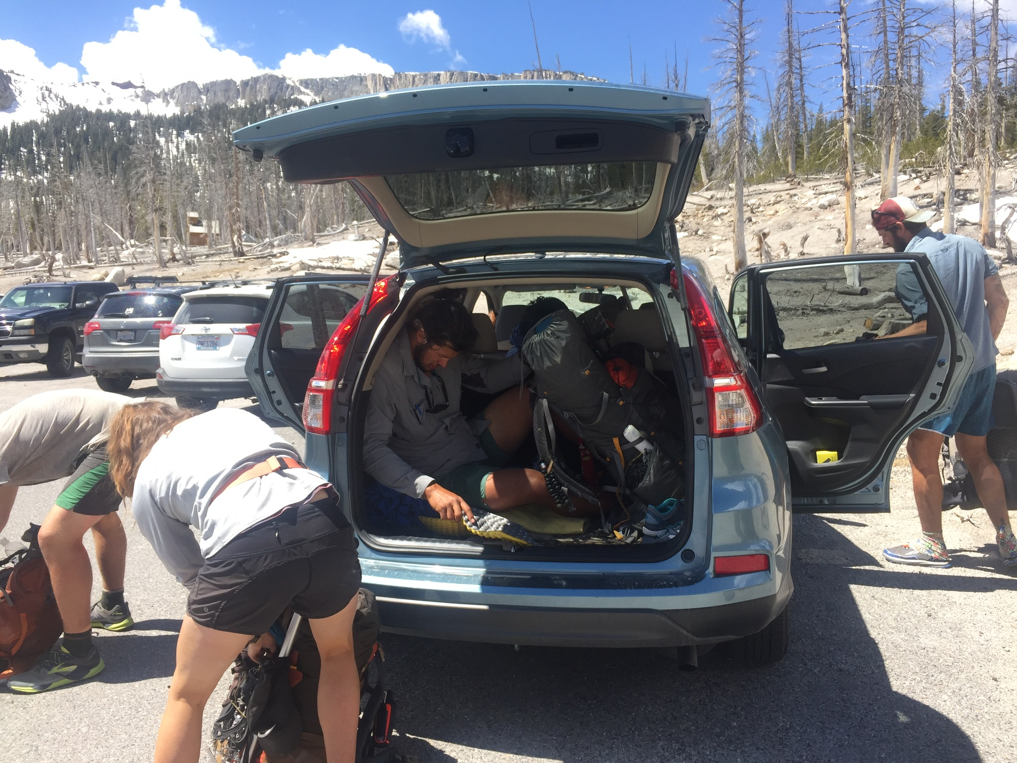
The high sierra section. It felt amazing to be back on trail again after my 2-week break to visit with family! Since Scott had to go back home to New Zealand (visa issues) I was now on my own — hiking solo towards Canada. I made it back to Lone Pine just in time to make it to the post office to sort out all the stuff I had waiting for me there, crampons, ice axe, bear can (thanks for the loan Ralph) etc… While packing up my bounce box I got to talking to a very nice local who offered to take me up to the trailhead the next morning, thanks Brian!
I headed back up into the Sierra almost a month to the day after Scott and I had decided to hold off and wait out the unseasonably late winter storms in the mountains. The first stretch was short, just from Lone Pine to Independence, but I needed to find my trail legs again and the distances between resupply points in the High Sierra make logistics a bit tricky since nothing is open yet. I felt both excitement and a little apprehension, not knowing what to expect from the High Sierra this early in the season.
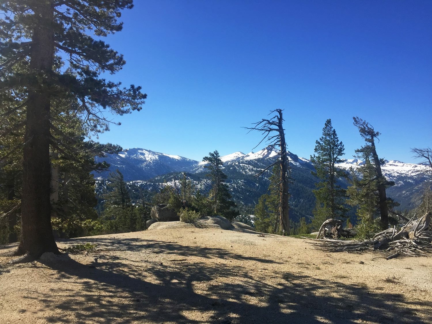
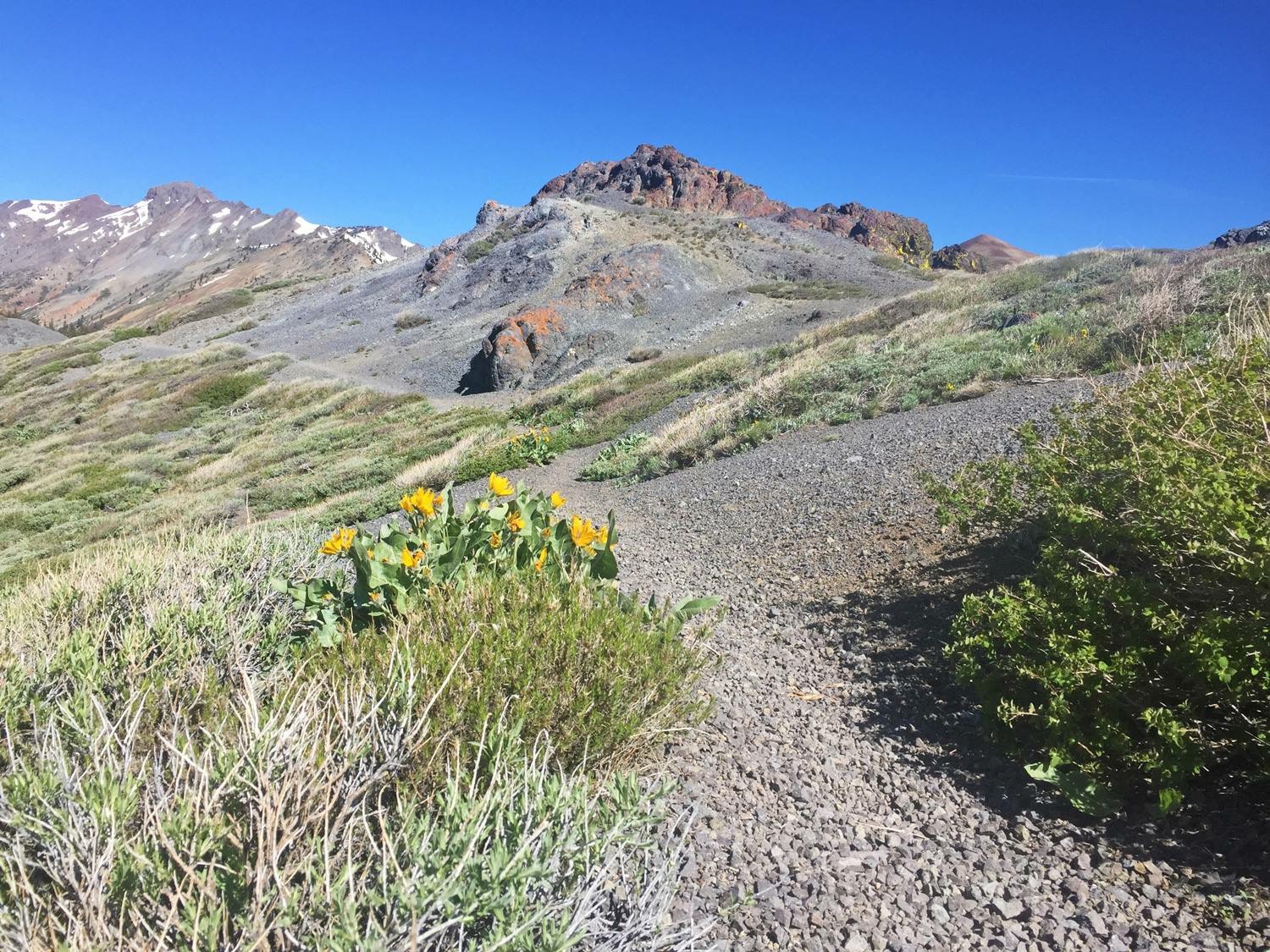
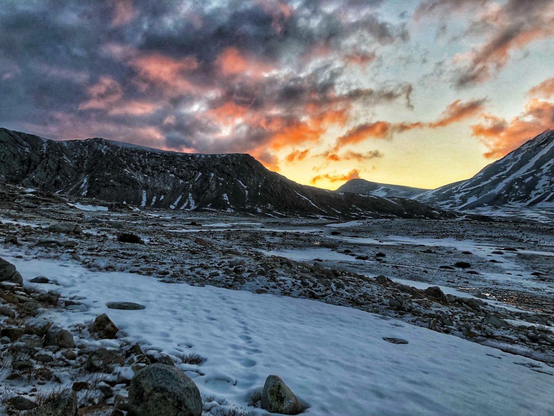
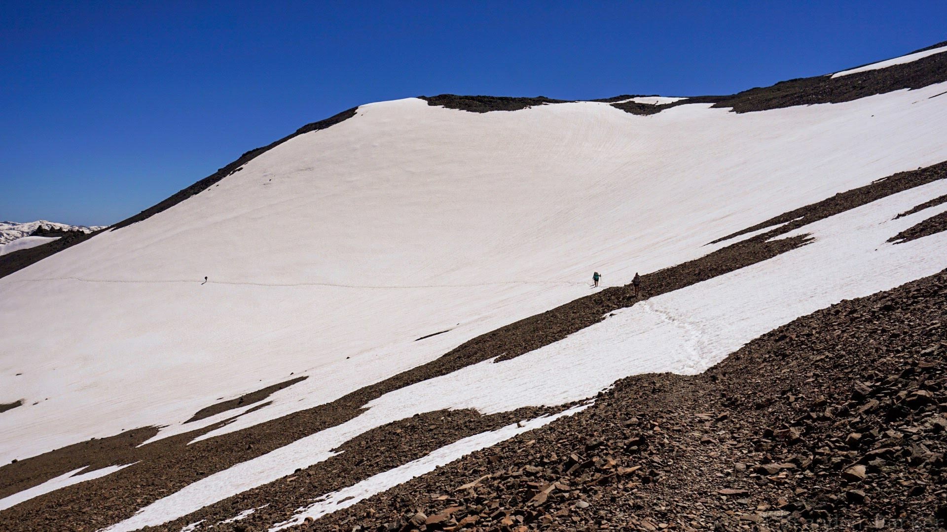
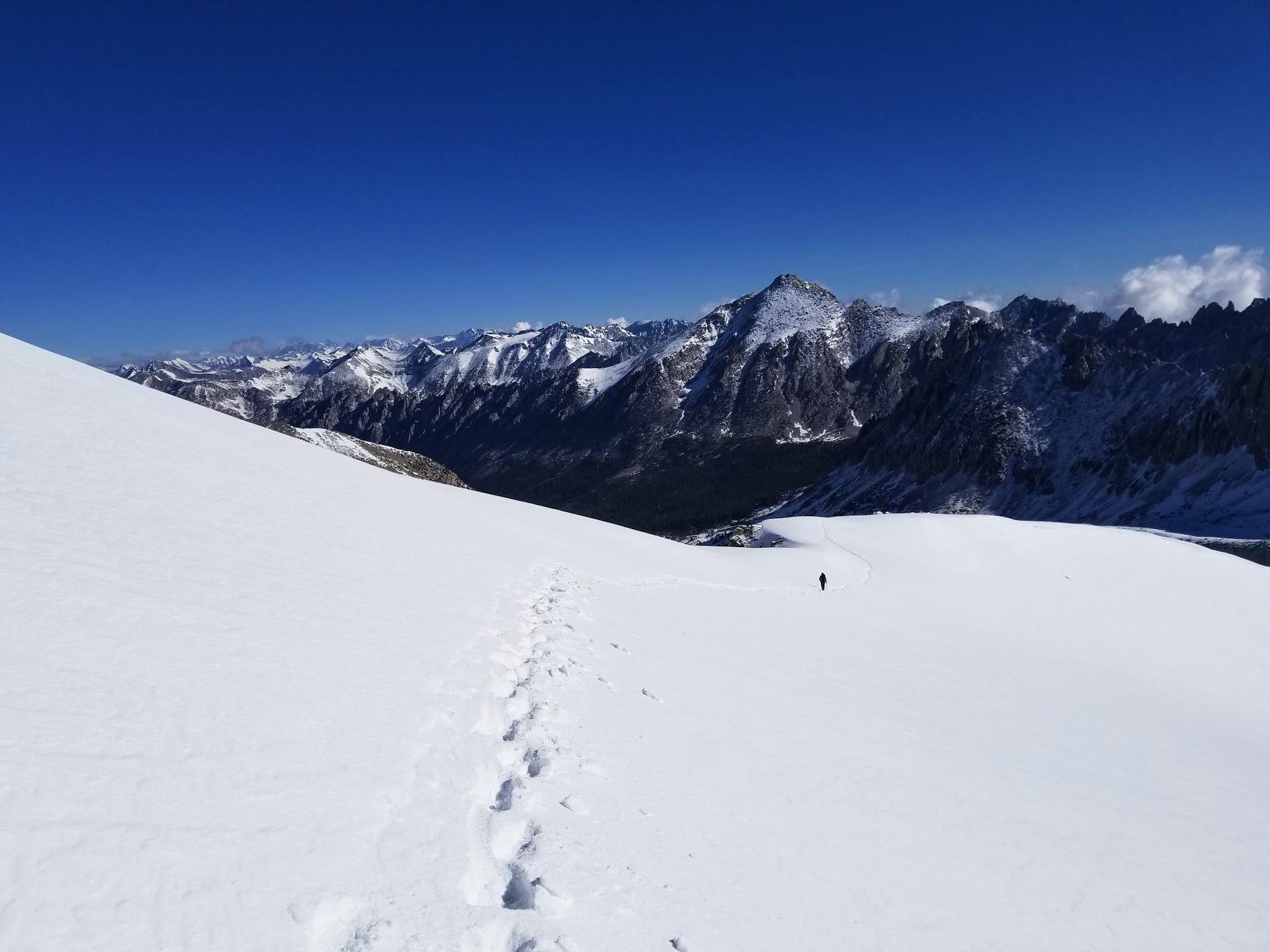
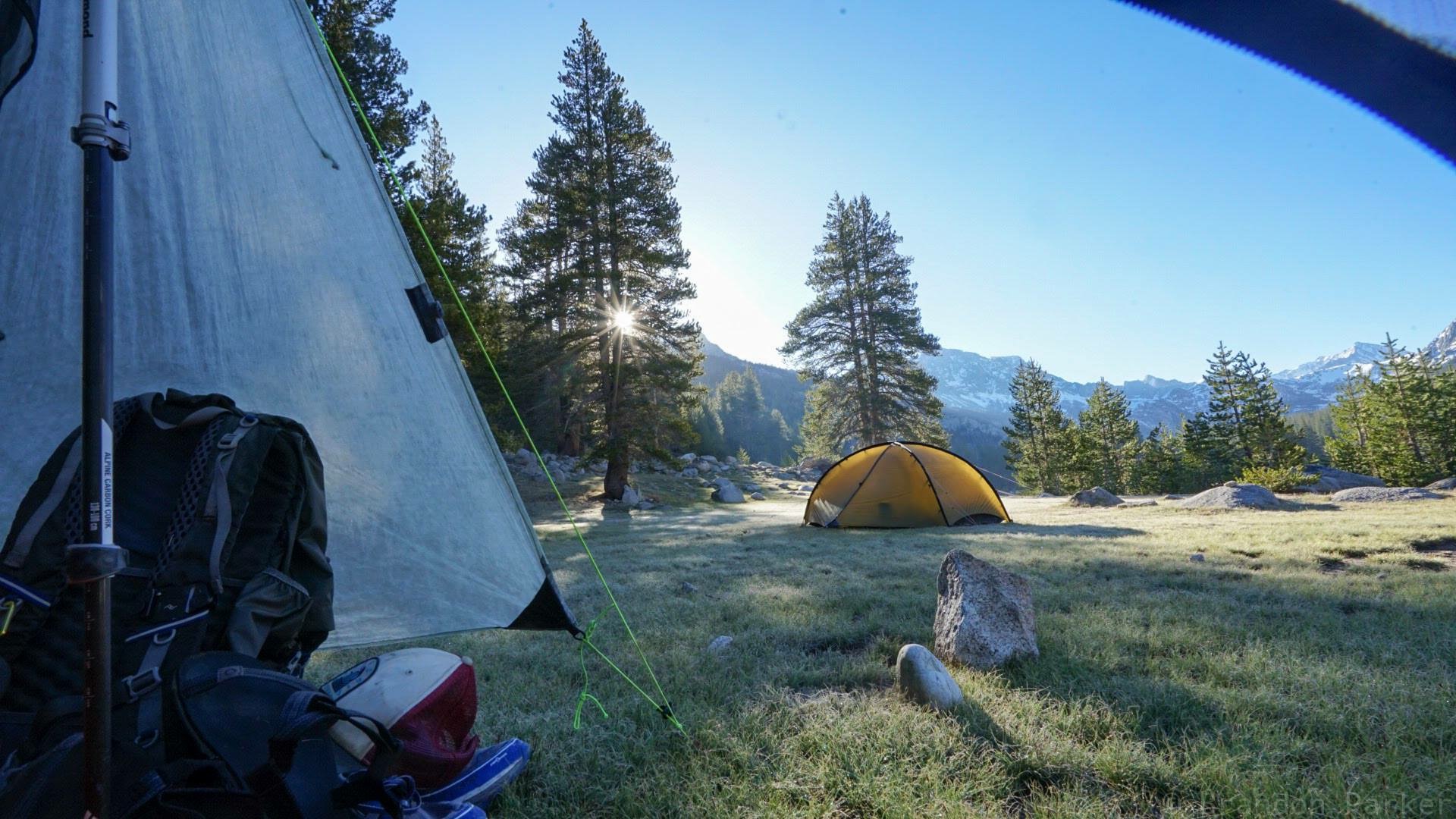
The High Sierra route is suitably named as it climbs up high and stays up around 10 000 ft (3 000 meters) and beyond for weeks. After a few weeks down at sea level, I was really struggling with the altitude, labored breathing, headache, nosebleed, mild nausea, dizziness and my legs felt like led! My original plan had been to also climb Mt Whitney, the tallest peak in the continental US and a common side trip for PCT hikers, but given how I felt I had to pass on this idea. Instead, I camped early my first day at the lowest elevation on the trail in this section in order to give my body some time to reacclimatize. Next day I hiked up to Tyndall Creek, the base of Forester Pass, hoping to feel a little better by day three climbing the pass. Tyndall Creek turned out to be a popular base camp for the pass so there were several other hikers camped there when I came in. I have never seen so many PCT hikers in the same camp before. Scott and I saw maybe a handful thru-hikers for the first 1000 miles in total.
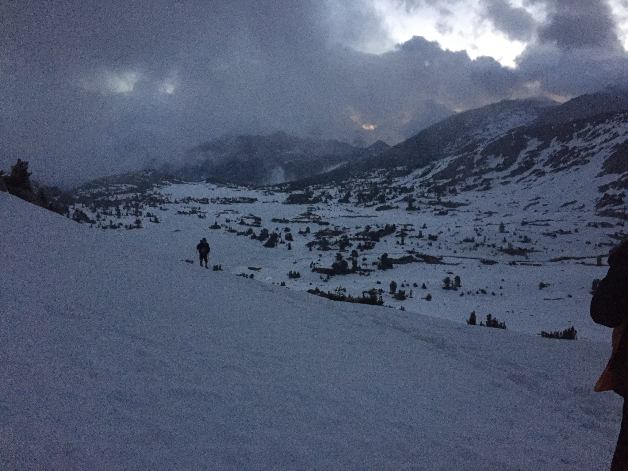
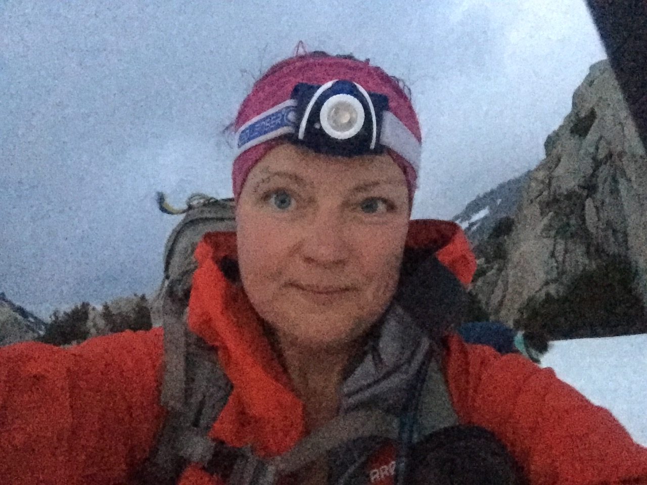
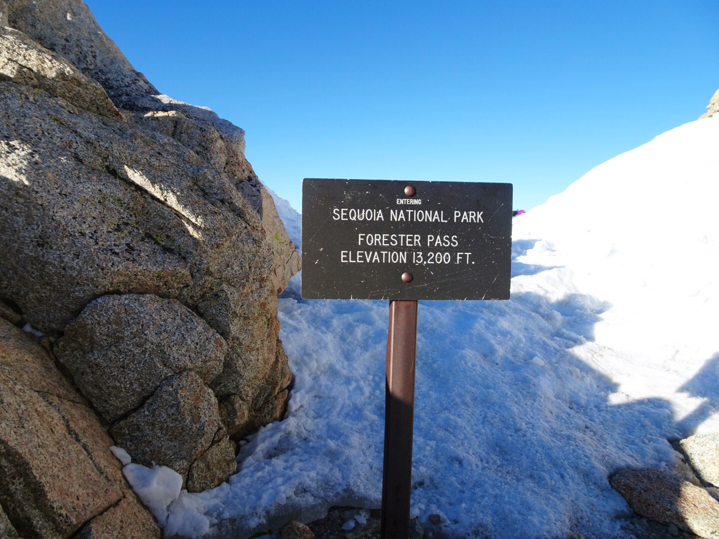
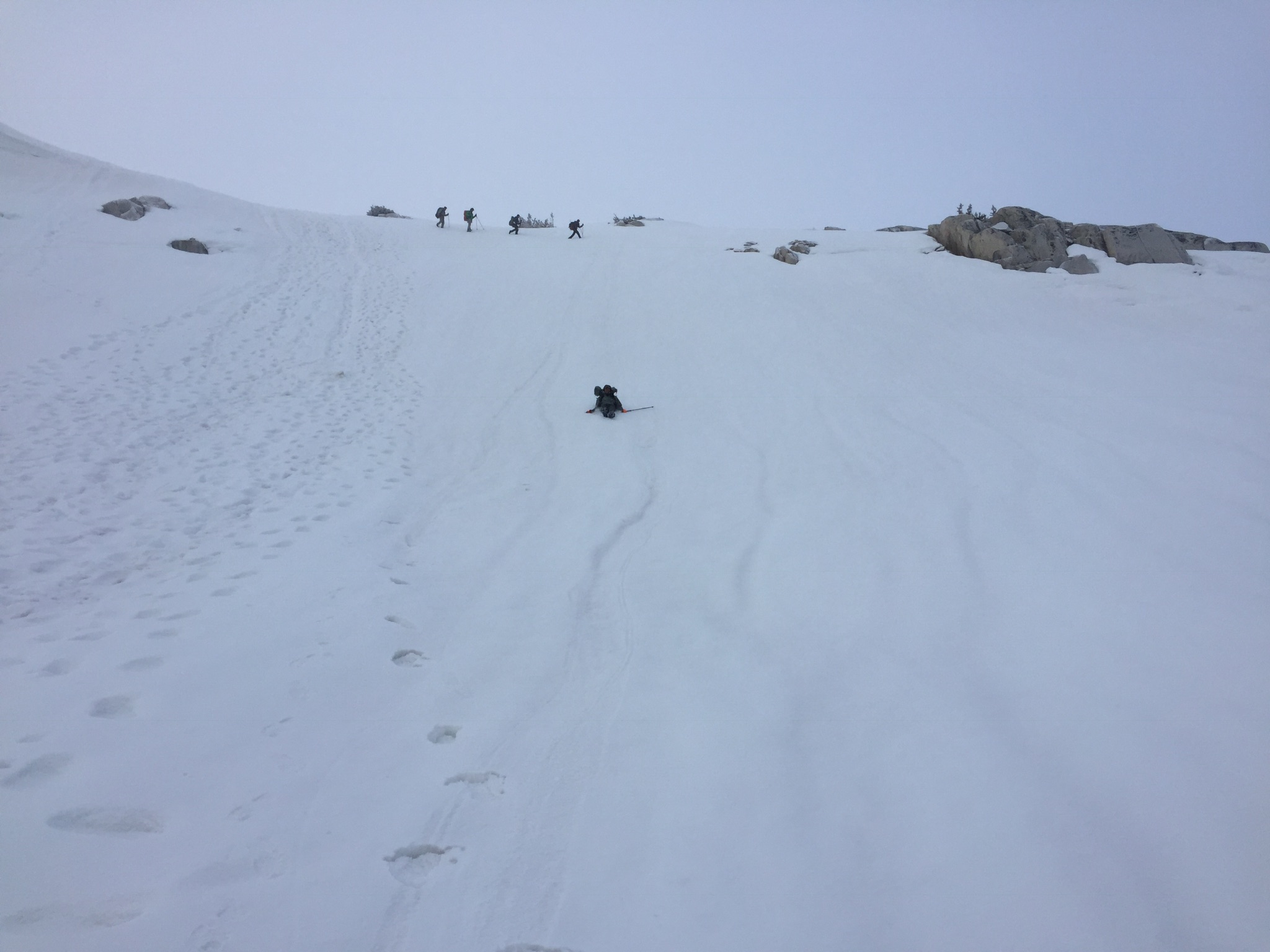
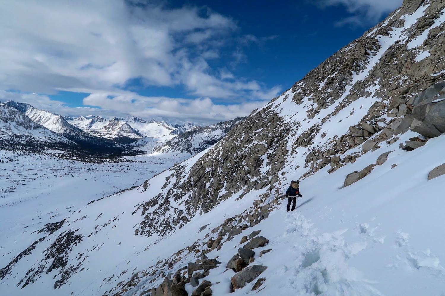
Forester Pass is 13 124 ft (4 000 meters), and the highest point on the PCT. Most notable is a pretty intense ice chute that people find really intimidating. I started walking by headlamp at 4 in the morning in order to avoid post-holing (breaking through the frozen surface of the snow as you step) later in the day. Several other hikers were starting at the same time and I was invited to join a small group for the crossing — thanks guys! We enjoyed some amazing weather for the day. It was pretty cold, so the snow stayed frozen all day, but it was still sunny and calm. Most of the switchbacks up on the southern side were still covered in snow so we just made our own route up. The snow provided some nice glissading opportunities on the way down though (basically you sit down and slide on your ass). A fast way down — and also a lot of fun! I personally did not find Forester pass all that intimidating, but I am wearing full on mountaineering crampons, the people in micro-spikes were not as confident in their footing, especially on the descent down the north side. It was really hard work, but I had a great day despite still hurting from the altitude, crossing over the pass with a nosebleed — oh yeah.
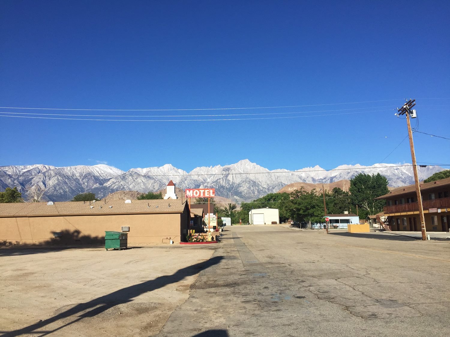
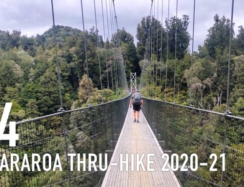
Few of the popular resupply resorts were open yet this early in the season, so I hiked out to Independence for more food since the next stretch is so long. All of the exit points from the southern Sierra are long and really hard work. The Independence exit, and re-entry, goes over Kearsarge Pass.
The forecast was calling for more weather so the other hikers in town were apprehensive about going back up the next day. The group I crossed Forester Pass with chose to take a zero-day, but since I just got back on trail I was eager to keep on moving. The forecast for the mountains is all over the map anyway. It changes from hour to hour and valley to valley so I figured I would just go for it solo again. Strider, who runs the hotel in Independence, gave me a ride up to the trailhead in the morning. Thanks!
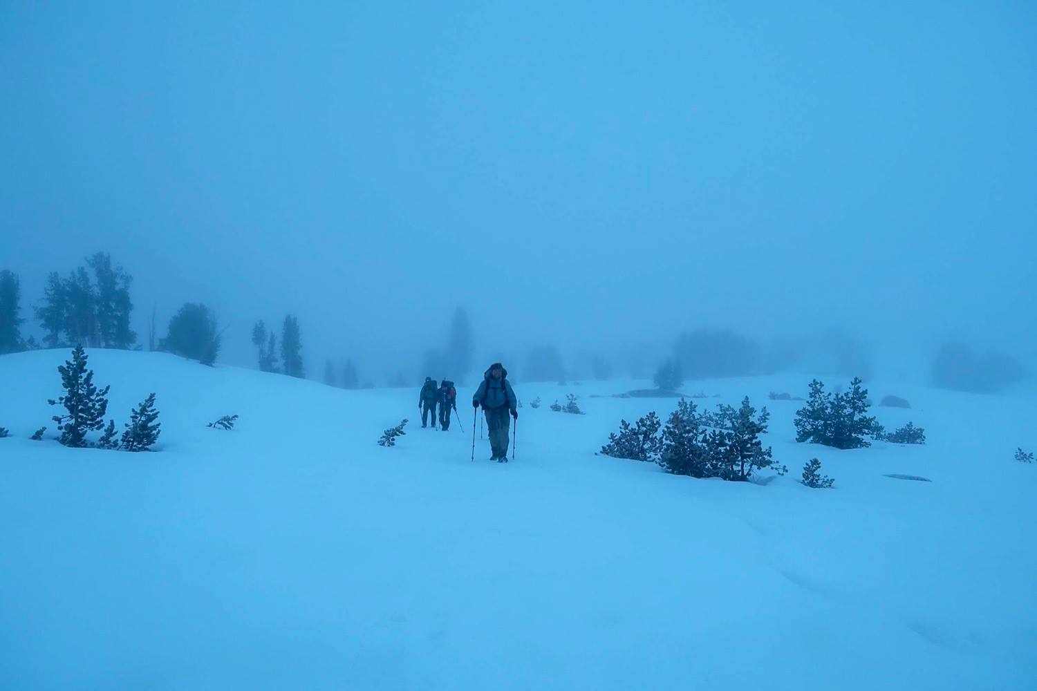
The climb back up Kearsarge Pass was actually not as hard as I had anticipated, but by the time I reconnected with the PCT it started snowing. When I reached the base of Glenn Pass it was coming down pretty hard and I could hear thunder in the distance so I decided to camp up. You really don’t want to be up on a high pass with a thunderstorm approaching. Soon the storm was right on top of me and I felt really small in my tiny tent perched on the edge of a cliff, lol. Apparently, thunderstorms are common up here in the afternoons, and can be very dramatic. About 10 cm of snow accumulated in a couple of hours and the temperature dropped dramatically. It was going to be a cold night.
I started the climb over Glen Pass (11 948 ft) at dawn. A few more hikers had come in to camp during the night, but they were still in their tents when I left. There was no trail or footsteps to speak of after all that fresh snow so I had to navigate on GPS all day. The climb up was pretty steep but felt alright, the descent off the back side of the pass on the other hand was very steep and really sketchy so I took my time. Really appreciated the crampons and ice axe I was carrying on this crossing. The whole valley on the north side was wet from the storm the night before making any movement slow and laborious. At least the weather looked a little brighter.
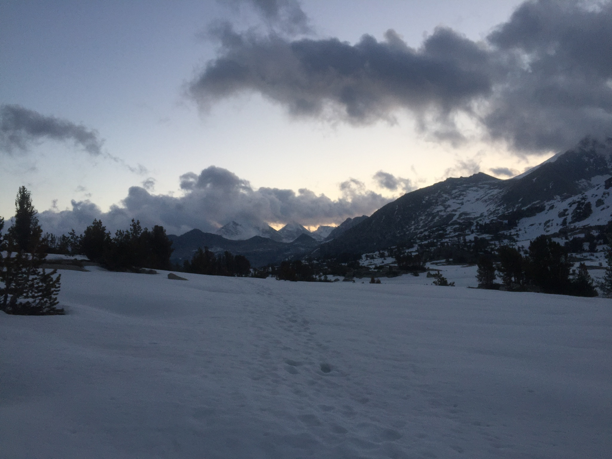
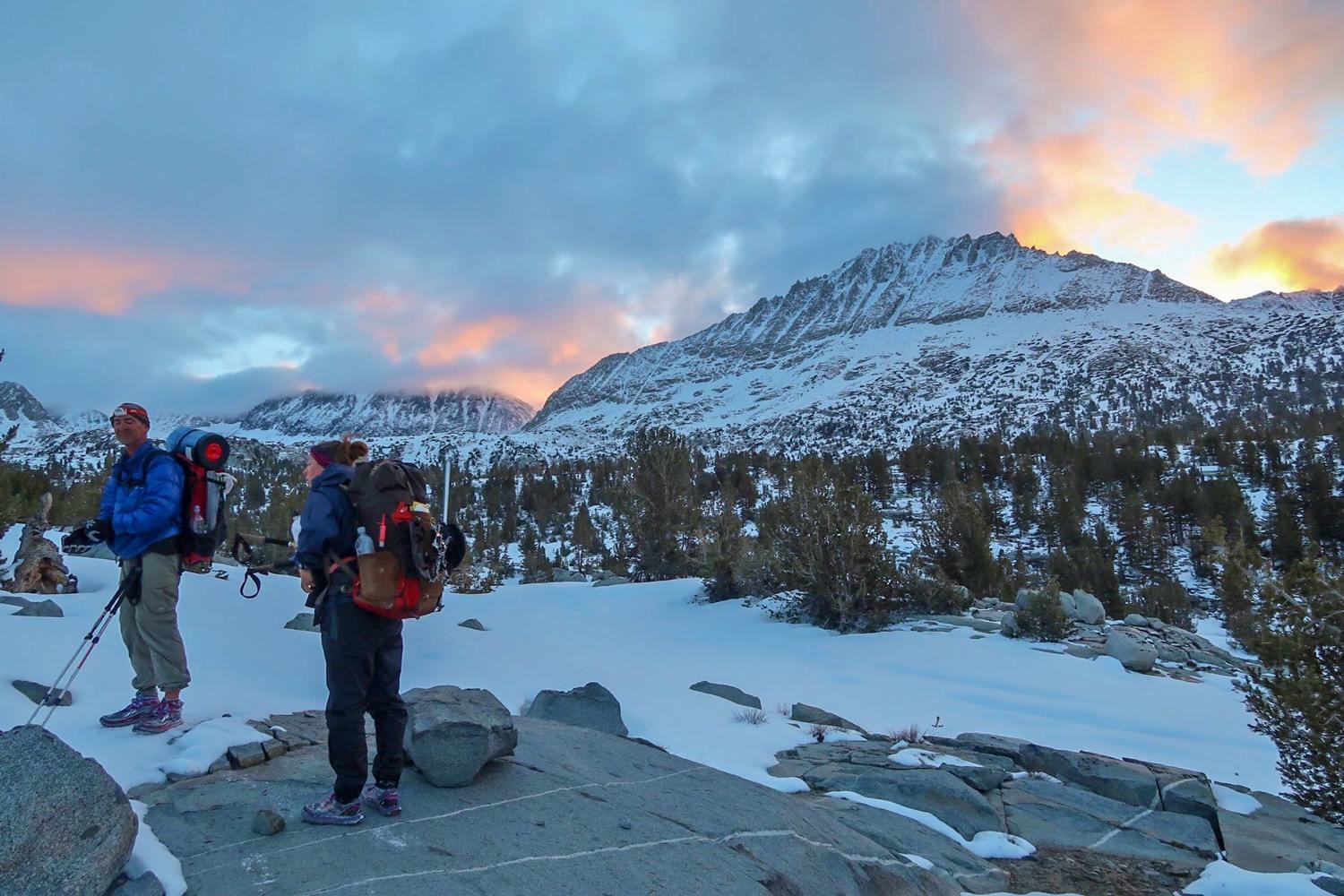
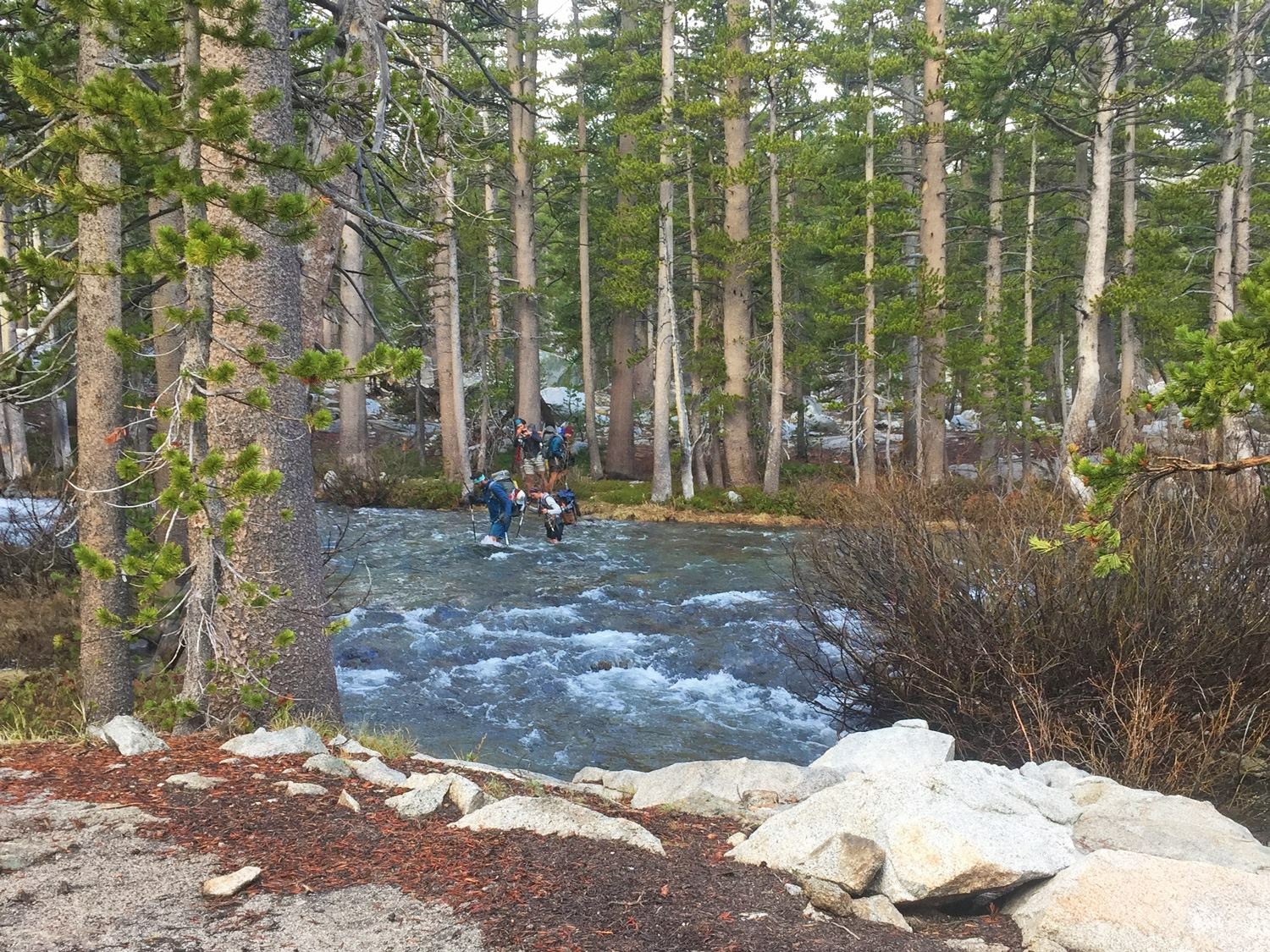
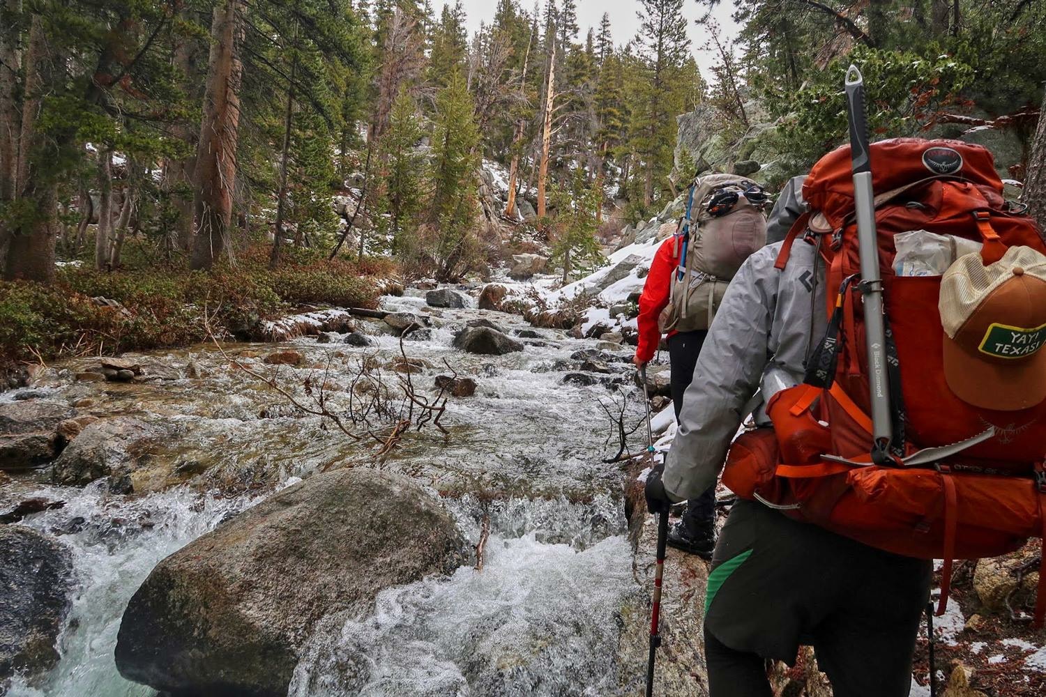
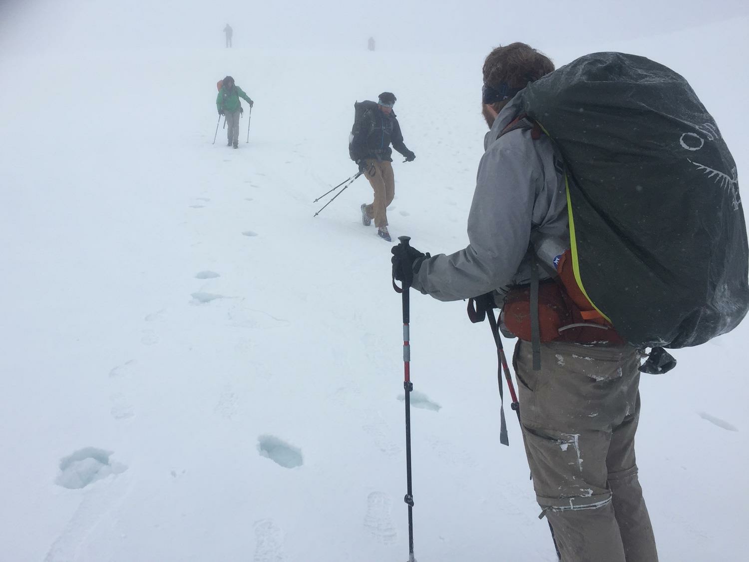
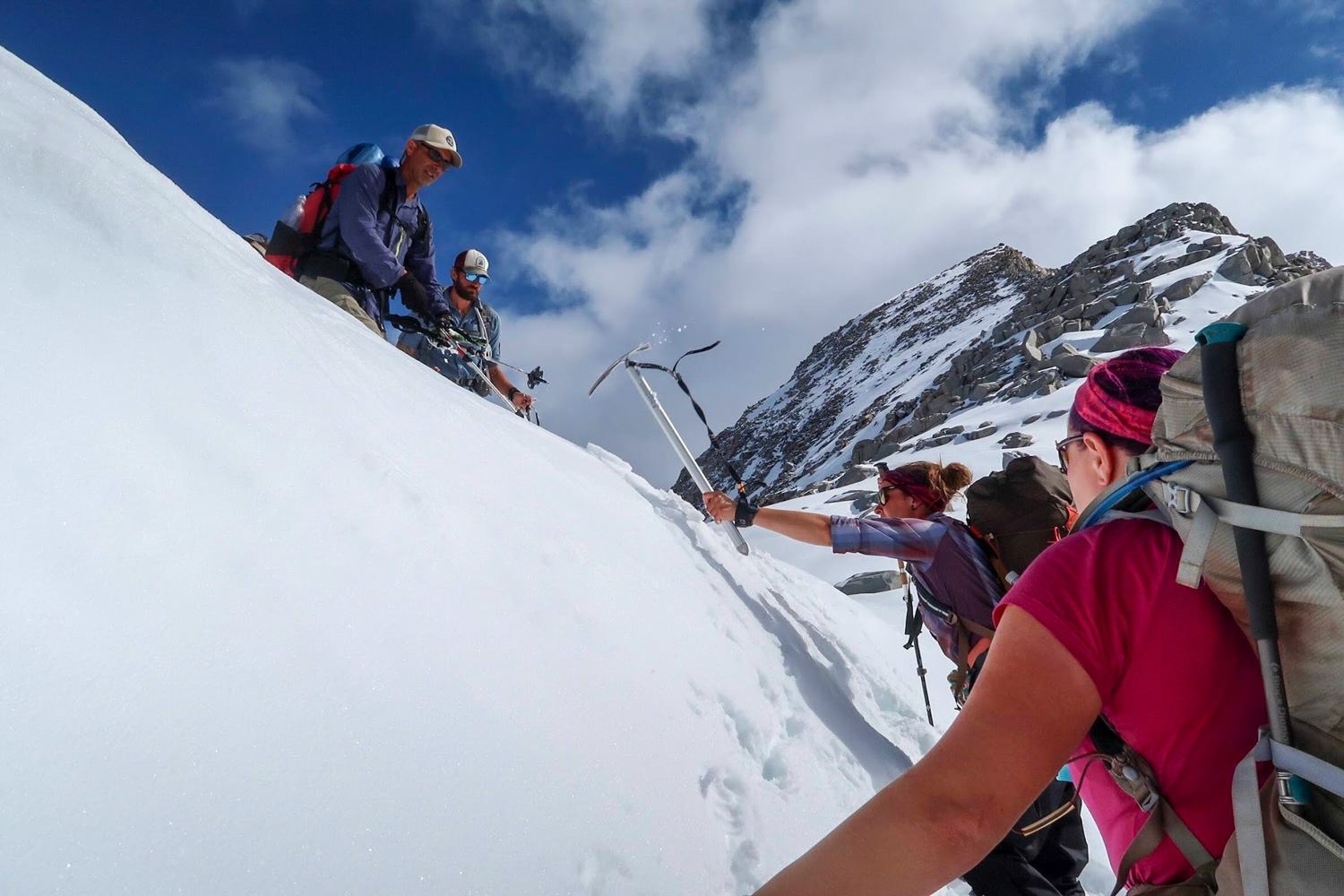
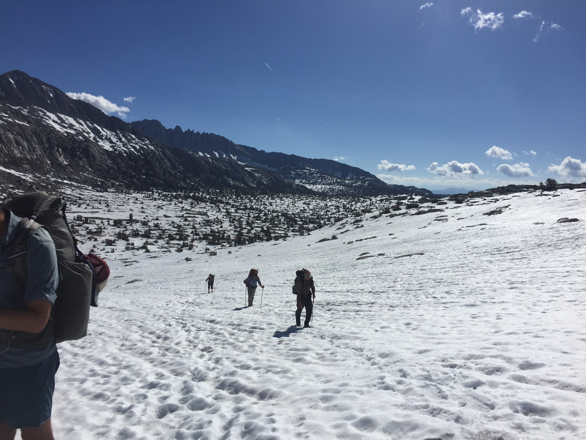
When I camped up at the base of Pinchot Pass (12 107 ft) the group of hikers from the night before arrived. I was invited to share their campfire and to join them over the next pass in the morning, nice! After another crazy night with thunder and lightning, which also brought a lot more snow/rain mix along with it, we were on trail by 4 am with headlamps in the dark. The approach was covered in snow so it was pretty slow going since there was no trail or steps to follow. The climb up the face was steep but manageable until we reached the cornice at the top which was a high wall of solid ice. I had to kick steps and use my ice axe to climb over only to be met by blizzard on top. Lovely. The descent was nowhere near as steep as yesterdays pass but it was soft and messy so we were post-holing a lot for the rest of the day — and post-holing is really hard work!
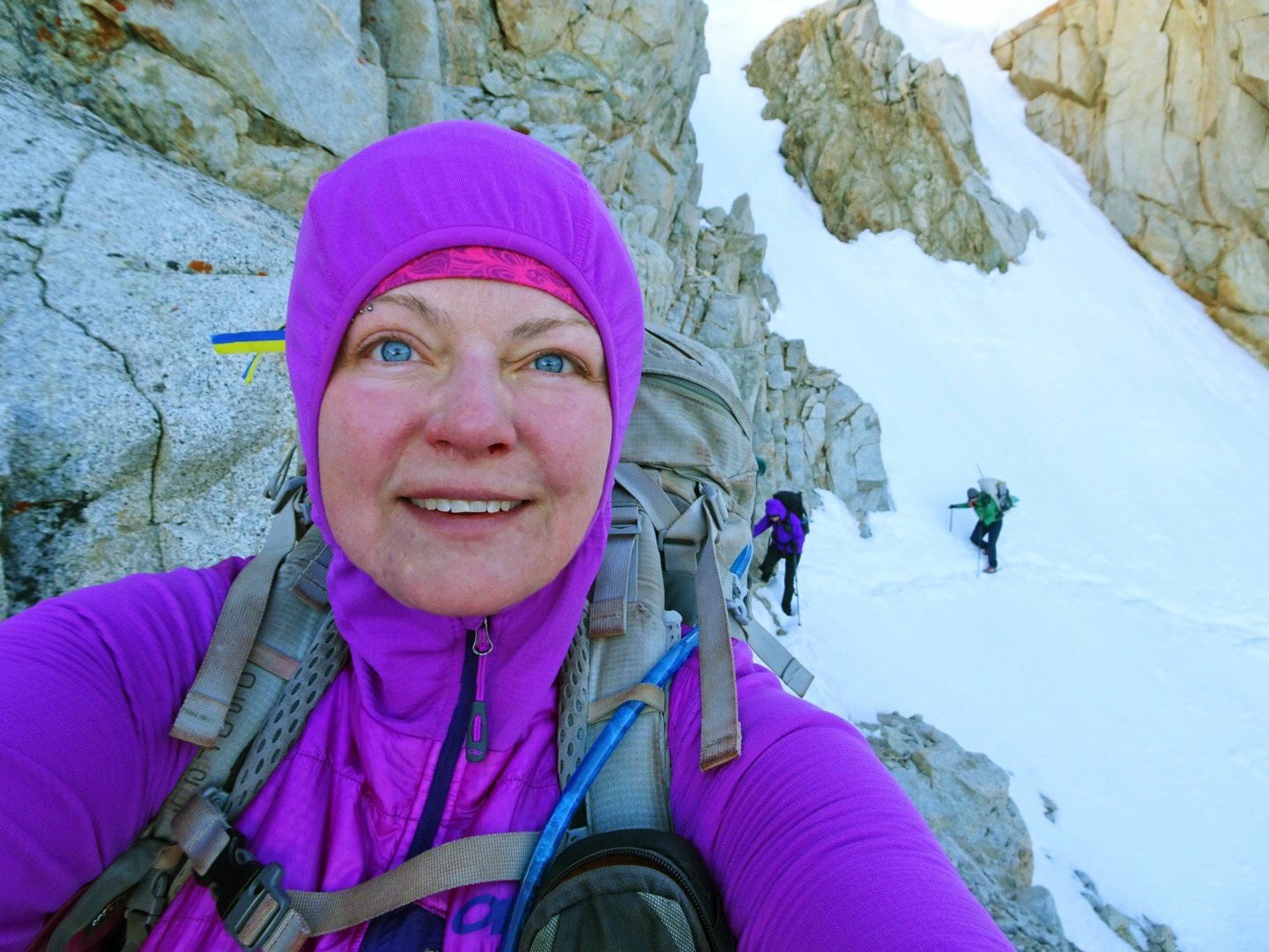
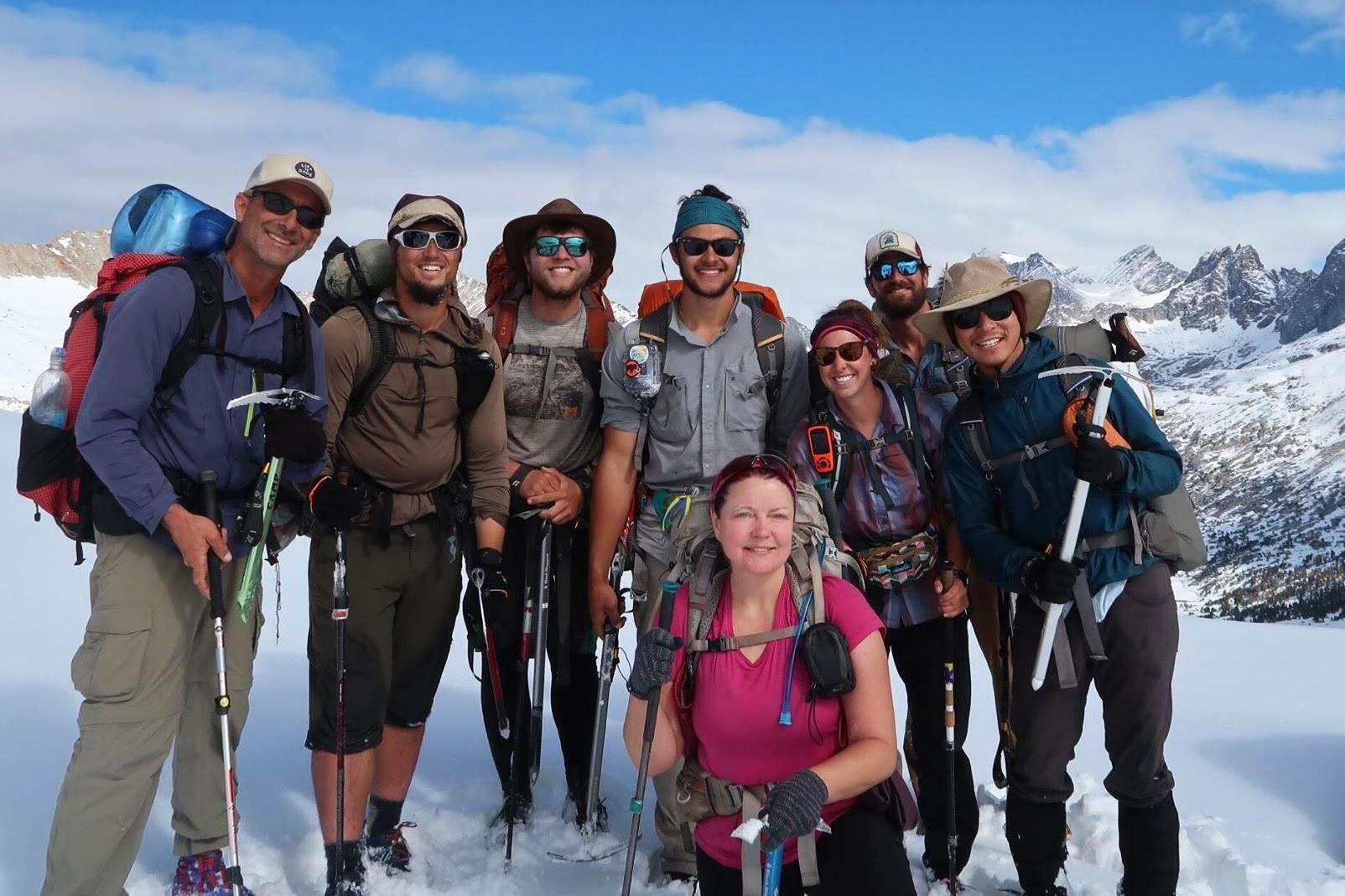
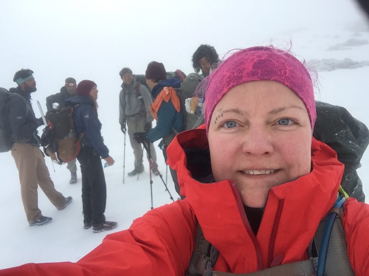
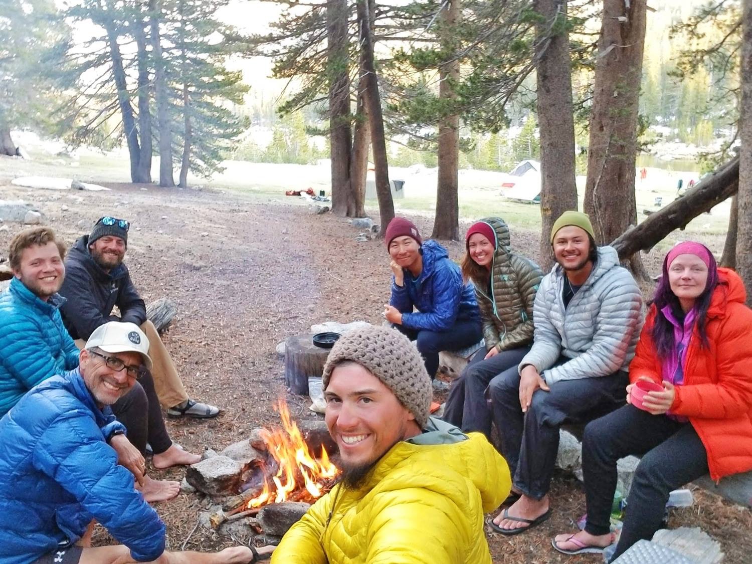
The way this part of the trail works is that you pretty much do a big pass every day, starting early to make best use of the frozen snow. Next pass in line was Mather (12 094 ft). The approach was long, but at least the weather was on our side for once. This was probably the sketchiest pass of them all. No steps to follow, no visible switchbacks up a very, very steep face and an even taller and icier cornice to cap it off. Good to be hiking with people on missions like this, safer and a lot better for morale, and I really like my little Sierra tramily! To get set up for the next pass we pushed over 20 miles which meant a long 10 hour day in this rough terrain. I think I was asleep before my head hit the pillow that night.
On trail by 4 am the next morning, as usual, to take on Muir Pass (11 969 ft). Although not as technical as the previous passes, the a long and gradual ascent and descent over looong snow fields made this the most laborious crossing yet. The descent was extremely long and arduous with all that fresh snow melting in the sun on top of more shit snow that simply did not hold any weight. Lots and lots of post-holing, many times thigh deep. We must have looked ridiculous, falling left right and centre down the mountain. Almost comical at times and quite a slog!
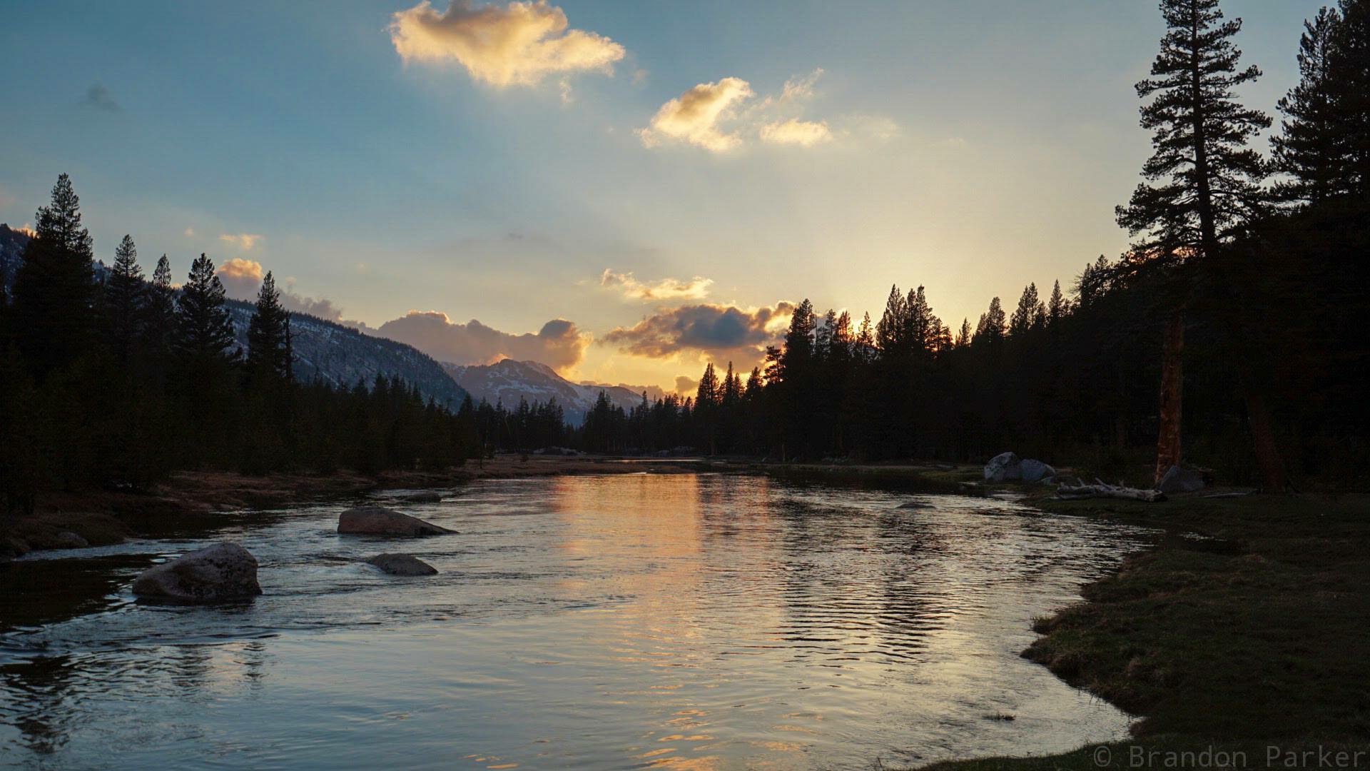
The distance to the next pass was really long, so we decided to do the distance over two shorter days to recover a bit. We were all feeling it… Getting up at 3 am is just unnatural and this has been a really physically demanding section. I feel a bit worn down and I have not packed nearly enough food for this section. Carrying 9 days of food is heavy, so you always try to get away with the minimum, but you burn so many calories dealing with all this snow it’s just crazy! We found an amazing tent-site in a beautiful meadow by Evolution River. So we camped up early enjoying the glorious sunshine and warm weather. It actually felt like summer! We all slept in the next morning and I was not on trail until 10.
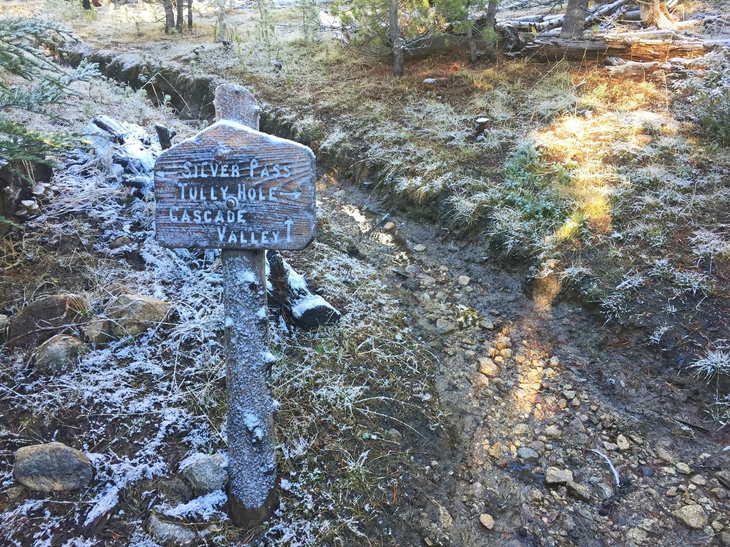
Next in line was Selden Pass (10 913 ft) followed by Silver Pass (10 779 ft) the day after. The goal was to push for Reds Meadow after climbing Silver, which meant doing a 36 mile (57 km) day on the back of a big pass. A tall order, but we pulled it off! We started walking at 3 am working our way up the mountain negotiating several sizeable and icy creek crossings by headlamps. We hit Silver Pass by sunrise, not that you could see it as it was a complete whiteout. Oh well, several fun glissades on the way down kind of made up for it. Given the snow situation (read post-hole hell) we opted for a lower alternate route into Reds Meadow and got there by 18:30 after a 15.5 hour day! Not hard to fall asleep that evening… dreaming of Mammoth Lakes, our next town stop.
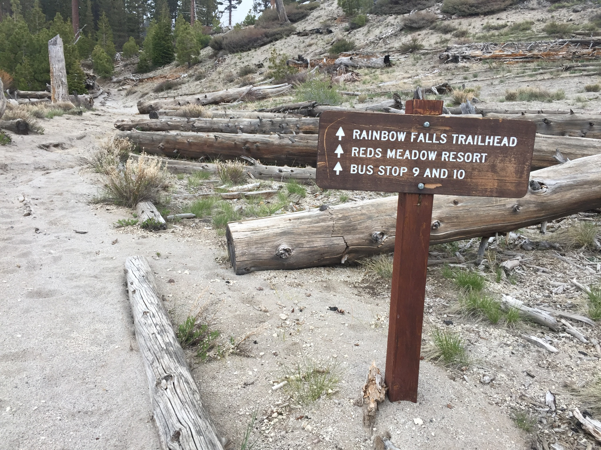
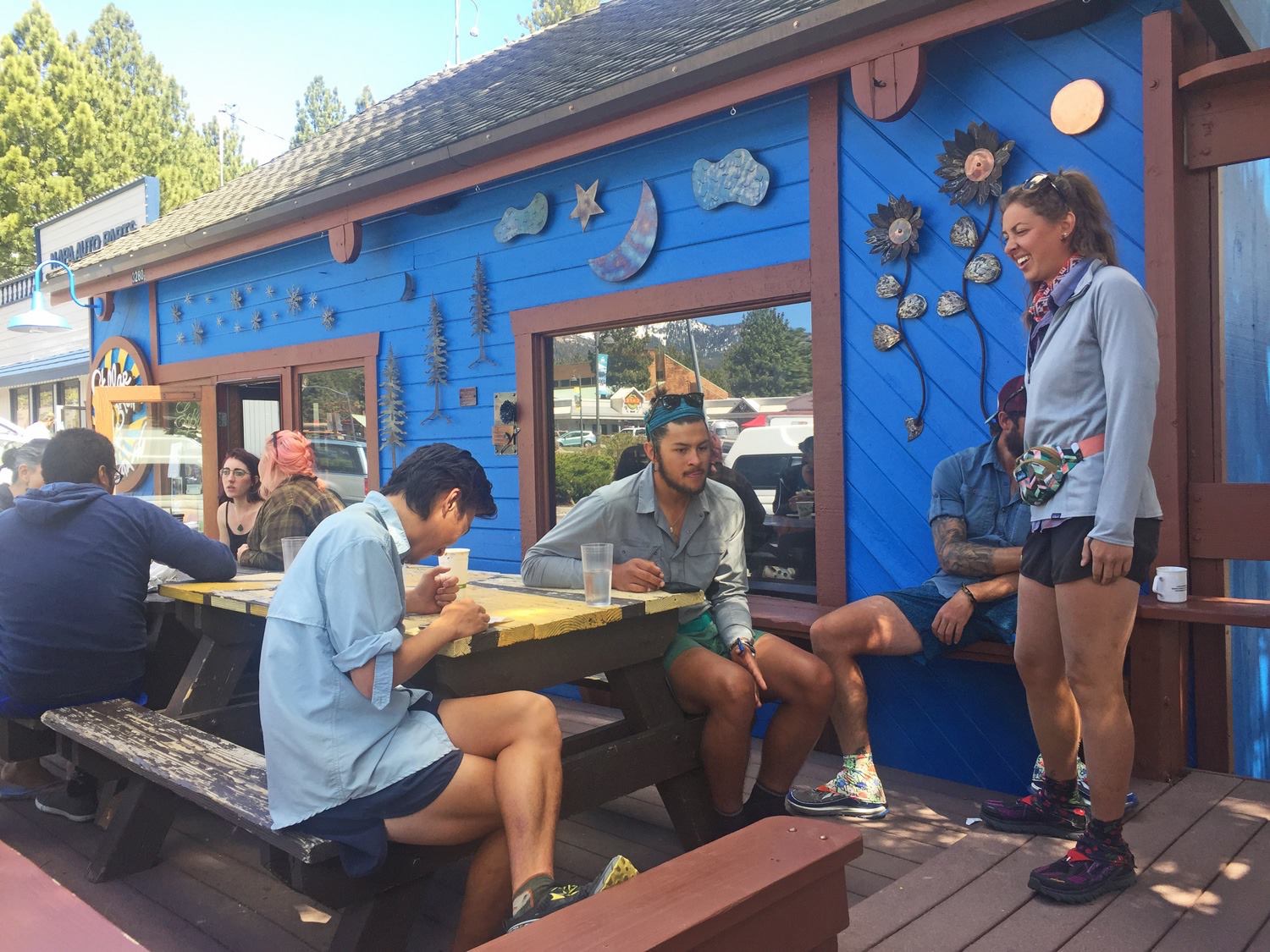
We climbed out to Mammoth Lakes over Mammoth Pass in the morning. I was out of food and did the climb on a rice crispy treat. A good motivator to get into town! We were all taking a well deserved zero day here before taking on the next section. I say zero days, meaning zero miles covered, because calling them rest days is nor really fair… zero days are usually busy days seeing to shower, laundry and resupply needs.
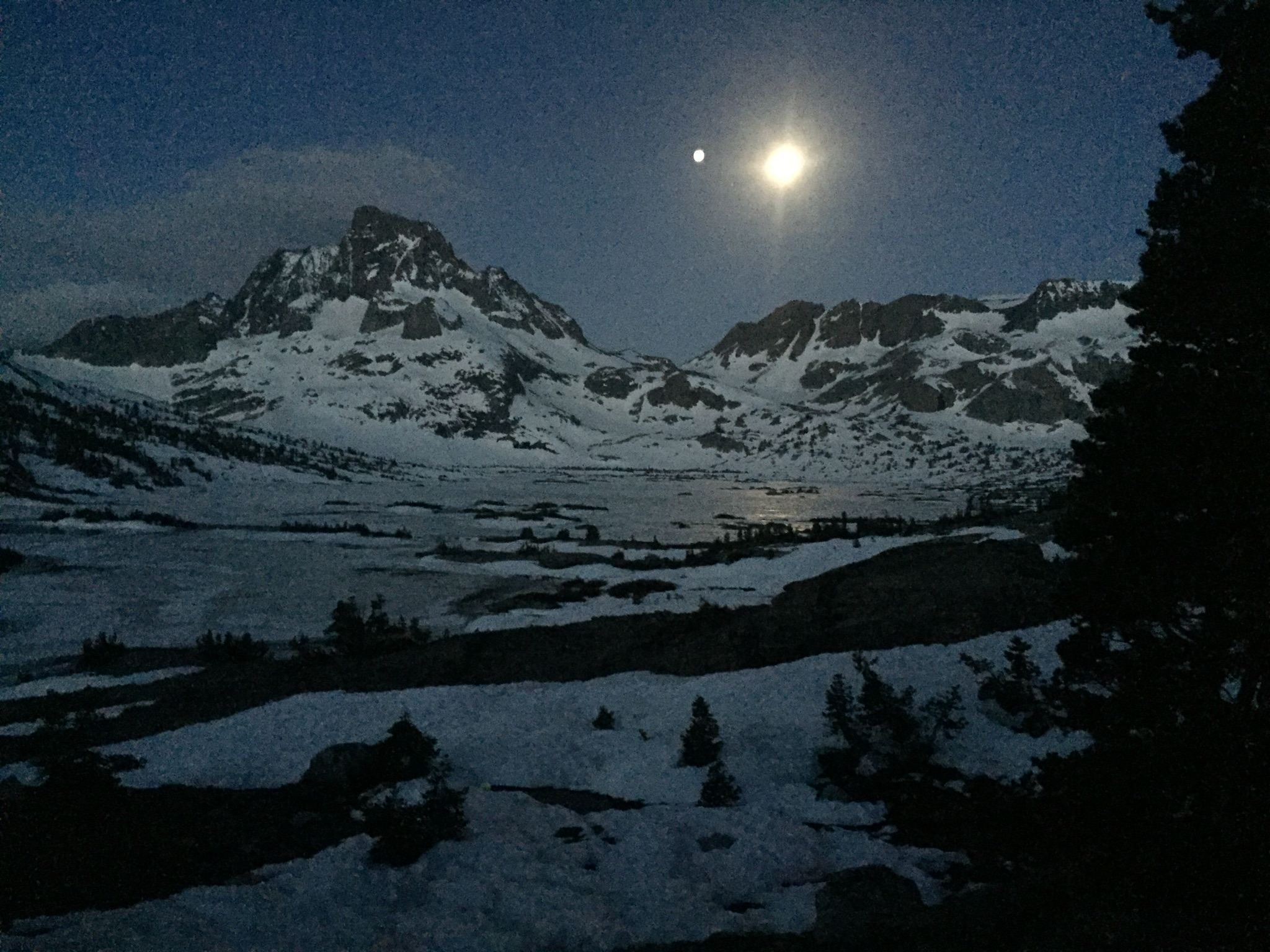
Town chores like the post office and coffee shop stops meant we were not on trail until around 11:30 a few days later. We did get a magic hitch up to the trailhead though… piling all 7 of us, plus packs, into a local trail angel’s compact car, lol. It was a rude awakening for the legs to climb over Mammoth pass first thing though. A long day too, 20 miles after lunch. We were loosing daylight as we camped up at the base of the next pass but the moon soon came up to illuminate the frozen lake below.
We slept in an hour and was on trail by 5 as the sun was coming up. We were doing two passes today, Island and Donohue. The first pass was very unassuming, the second was not very technical either but involved endless snow fields that seemed to go on forever.
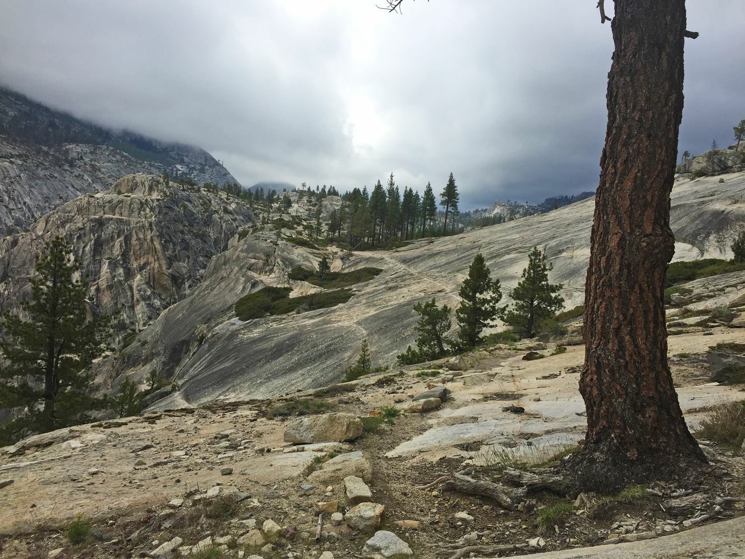
The plan was to make a detour into Yosemite valley the next day. We spent over an hour with a very helpful ranger trying to work out a plan and all the permits. Craziness! These things (rules and regulations) really turn me off… so I finally decided to opt out the detour and save Yosemite for another time when I can really take my time to enjoy it properly. So I left my trail family of the past 11 days behind and continued north solo.
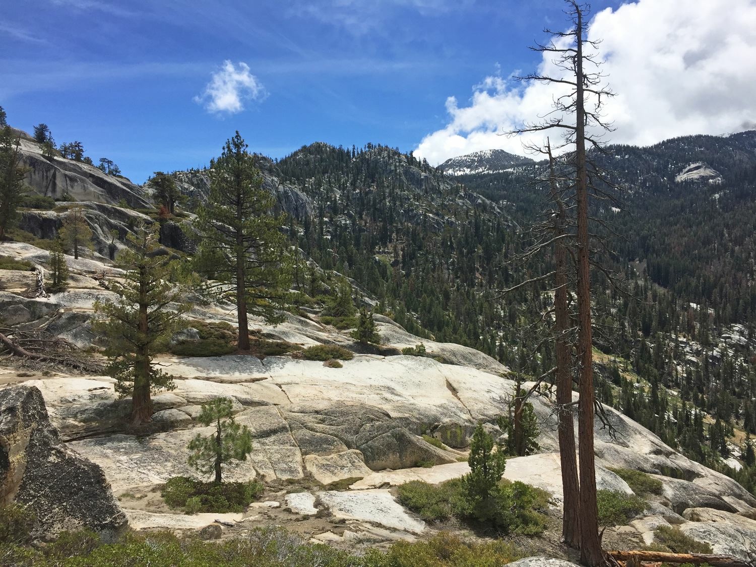
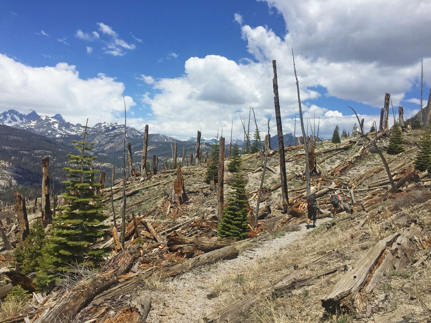
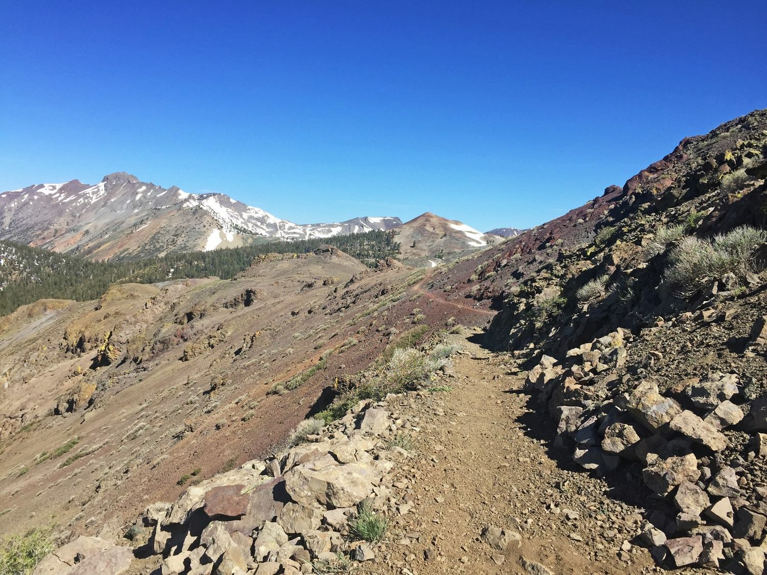
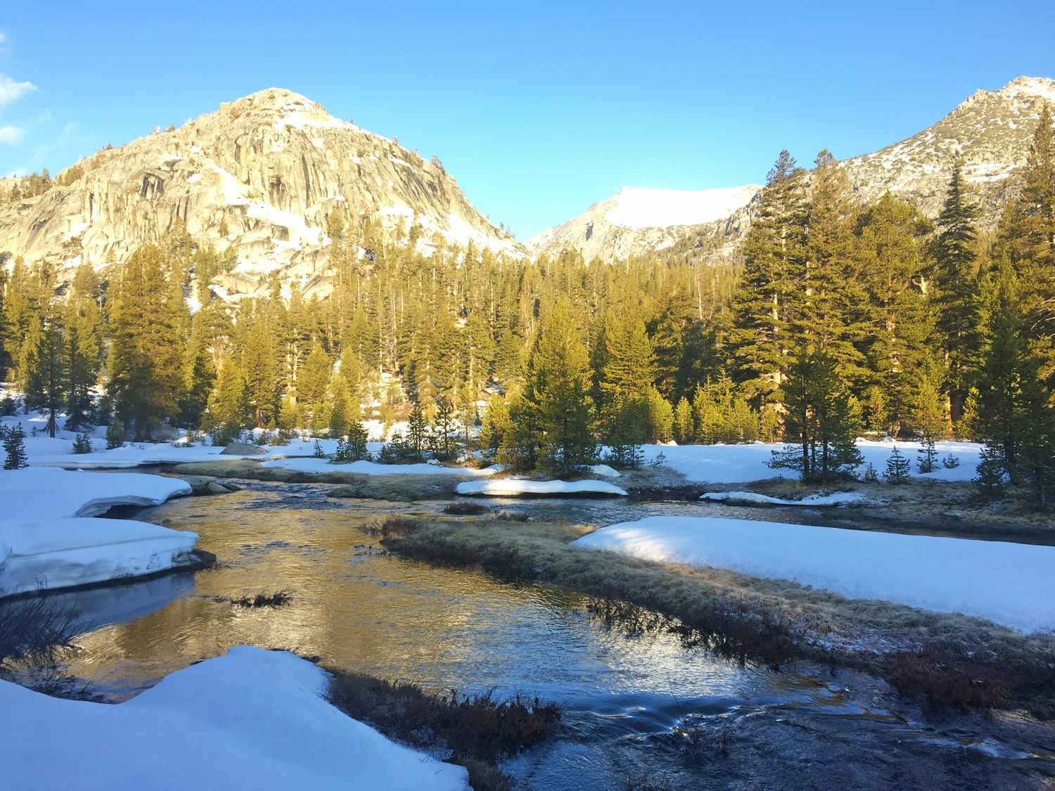
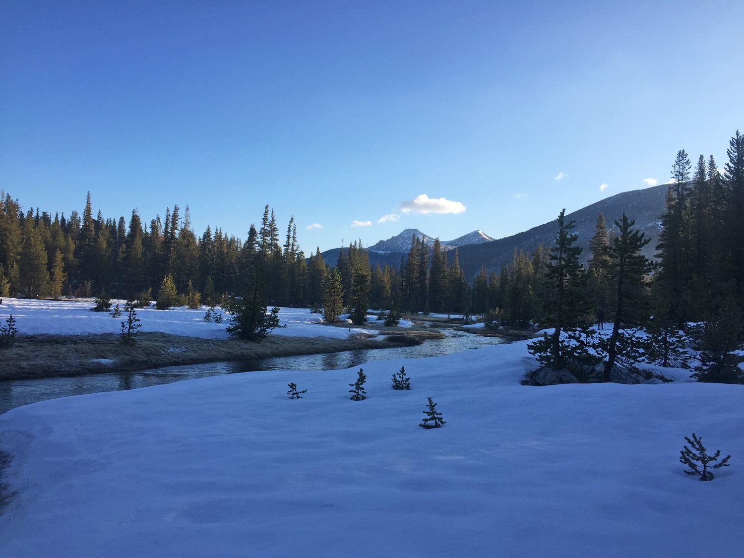
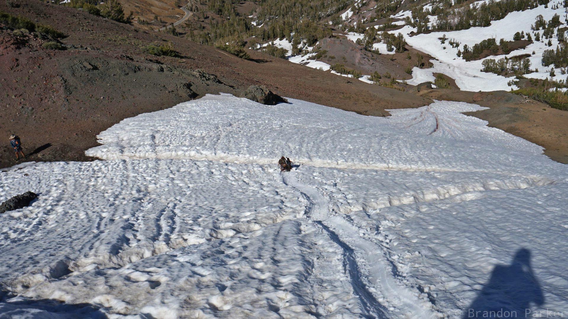
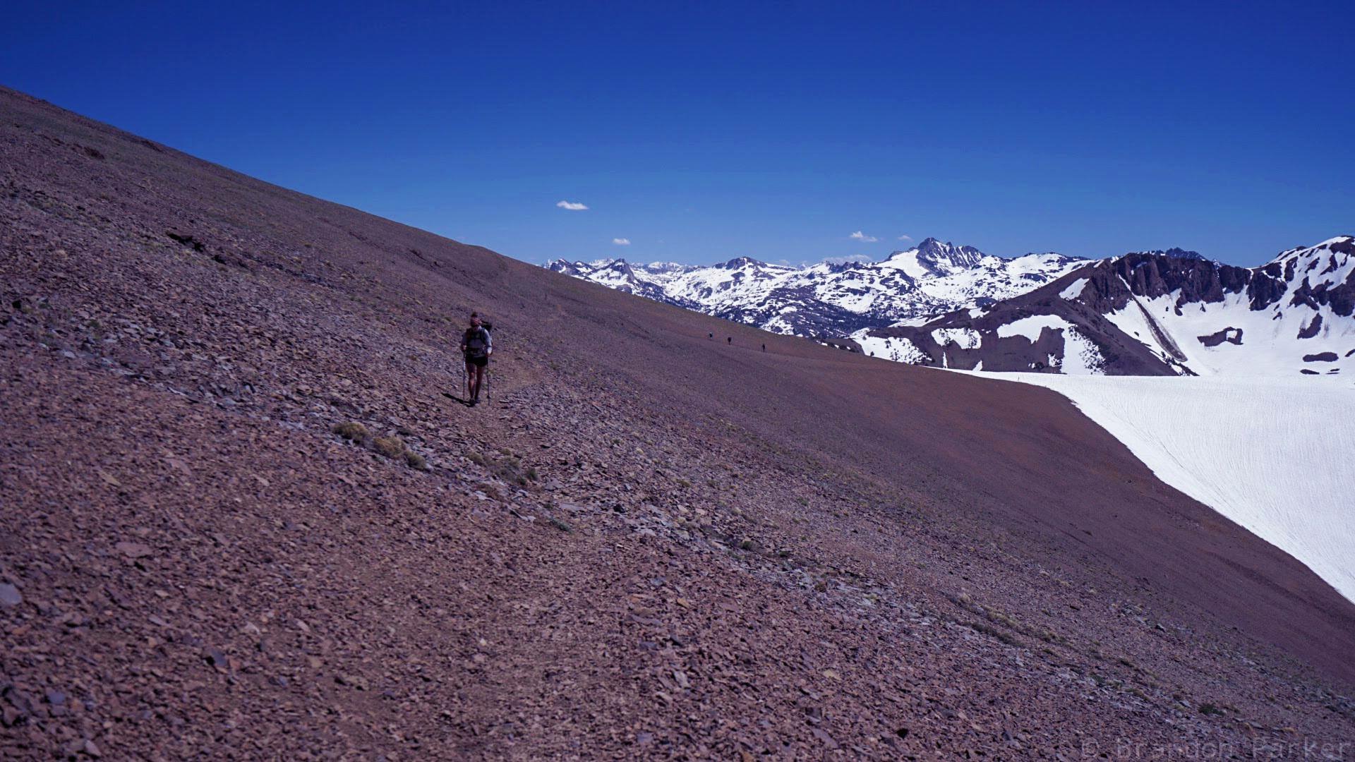
The next week kind of all blur together. With no big passes left to climb I could actually hike during normal hours of the day, which was nice for a change. Still a considerable amount of snow left on all the northern slopes though. A general “snow-hell” that was more annoying and slow going than the post-holing madness of the southern Sierra thankfully, but still. Worth mentioning… I got an awesome hitch back up to the trail from Sonora Pass by a man who had done the PCT on horseback and pack mule back in the 70’s. Very cool!
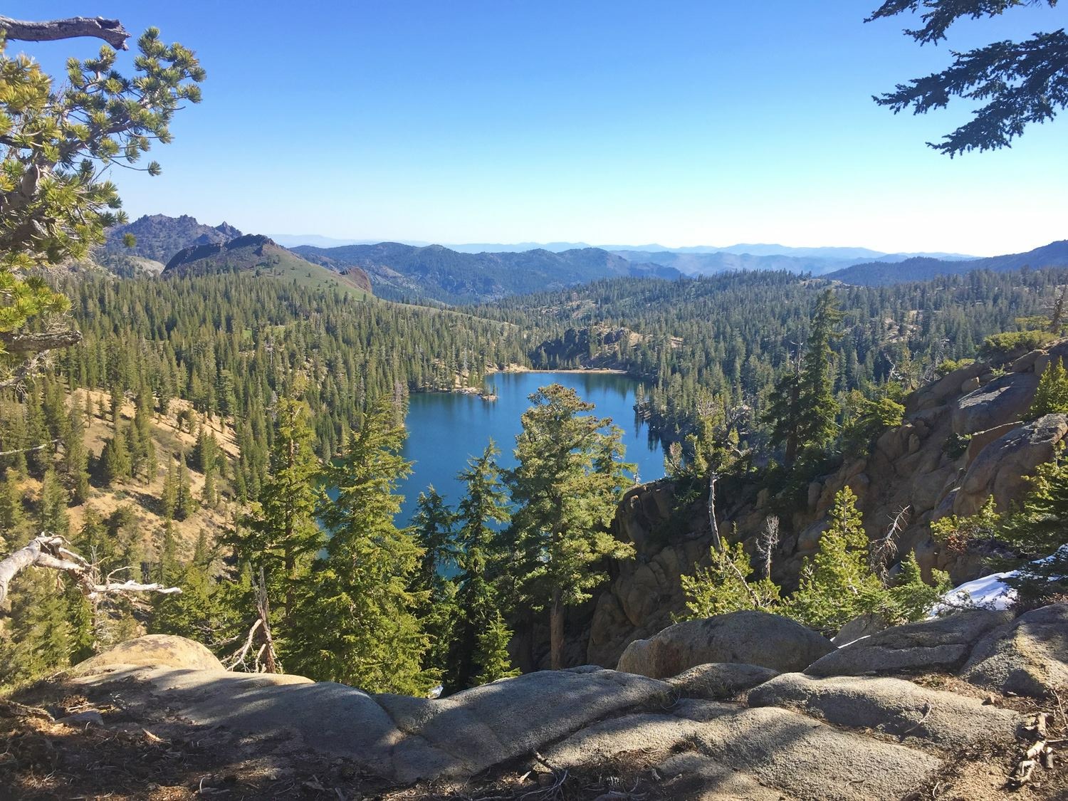
Although a beautiful section, I am very sick of snow at this point!, but getting closer to Lake Tahoe the trail got increasingly dryer. Less and less snow except over Carson Pass, but the snow was pretty soft so I did not bother putting on traction gear. I talked to the rangers at Carson Pass for a while, they love PCT hikers and had some trail magic and a trail register, nice! Hitched into South Lake Tahoe the next day for a resupply and by that I am officially done with the Sierra. I decided that I was also done with winter hiking, regardless of what lay ahead, and sent all my winter gear home. It felt very liberating!
The Sierra really humbles you… often hiking for 10 to 12 hours and still not covering more than 15 miles due to the snow. Since the snow we were dealing with came with all those super late storms in April/May it had not had a chance to compact down, like the snowpack normally would, leaving it soft and not able to hold much weight, leaving us to just battle through. It is a big, wild and beautiful place though and I loved it. It was a challenge for sure, but fun. To be honest though, a lot of it was level 2 fun… brutally hard work while doing it, but a whole lot of fun talking about and remembering afterwards, lol. I wish Scott could have been with me on this section, he would have loved it!
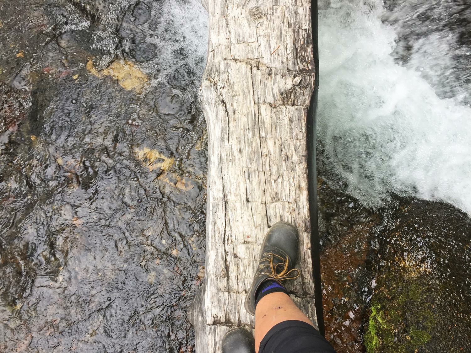
The High Sierra is a place I will never forget and a few new scars on my body will serve as eternal reminders.
Unfortunately, I lost all of my photos from the southern Sierra, yeah the most epic section of the trail… Damn near broke my heart, but I managed to scrape together a few photos with the help of the awesome trail friends I was walking with at the time — thanks a lot guys!***


Leave A Comment