WHERE: Echo Lake (South Lake Tahoe), California — Burney > Ashland, Oregon USA
WHEN: March–August, 2018
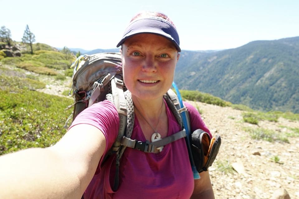
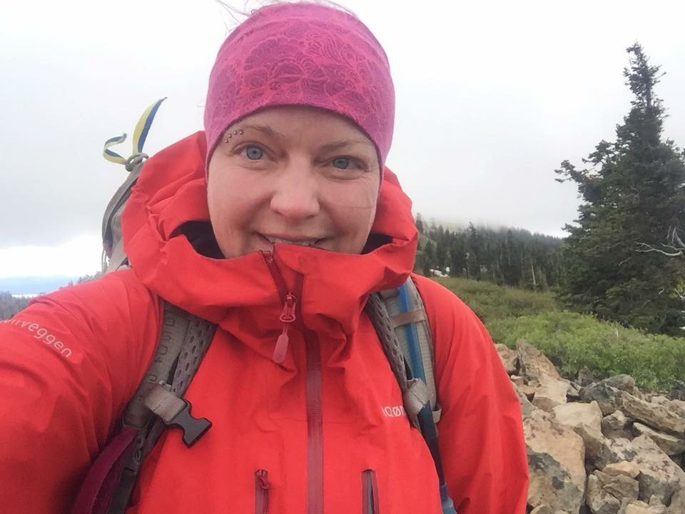
WHO: Karma
OBJECTIVE: Pacific Crest Trail (PCT) thru-hike
DISTANCE: 1092 – 1411 mi (back on track, total miles walked: 1717.7)
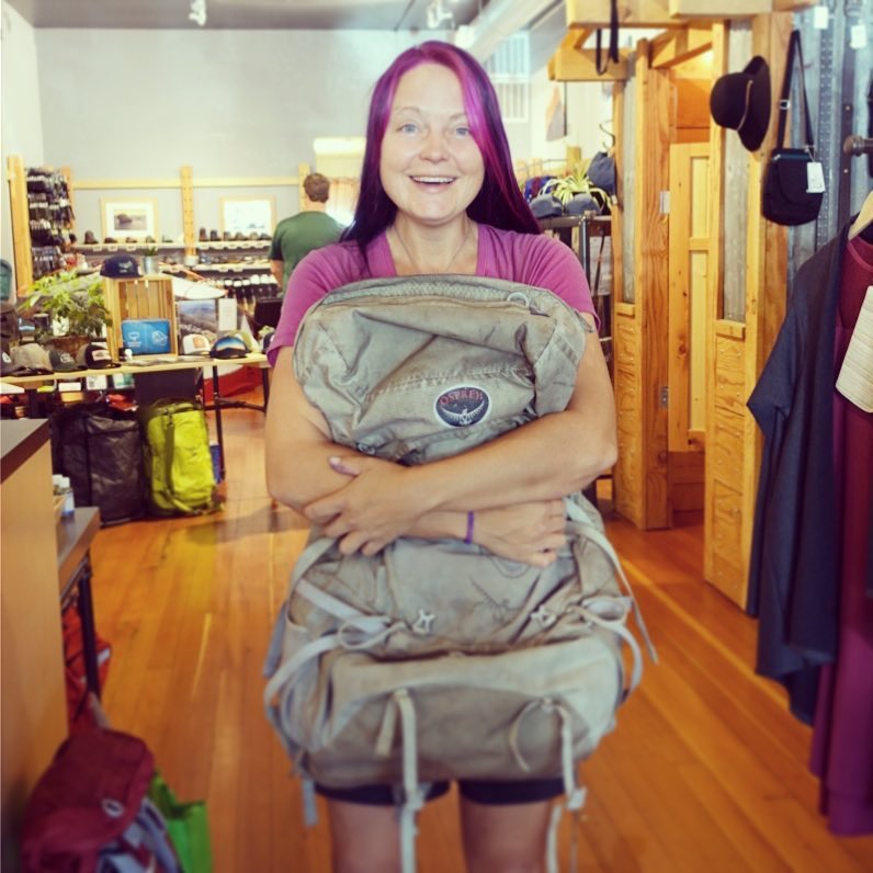
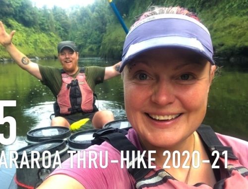
*Unfortunately Scott had to return to New Zealand due to visa issues (a long story), but we will meet up again in Sweden as soon as I finish the trail. So from now on I am on my own — hiking solo towards Canada.
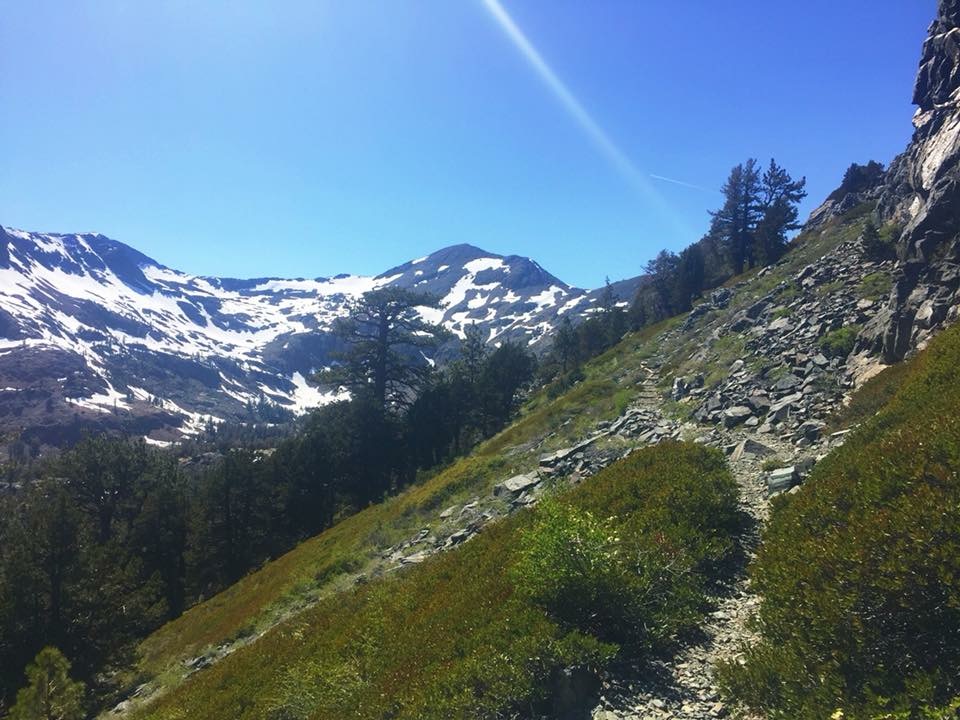
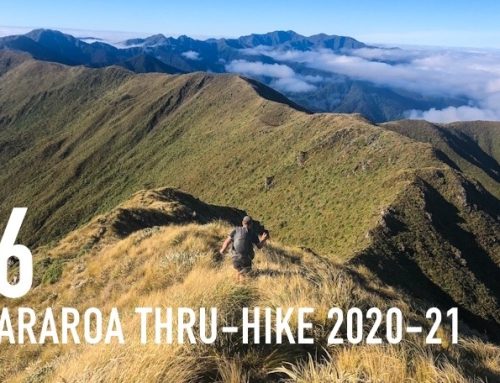
June 7, South Lake Tahoe. A three-part hitch got me up to the summit where the PCT crosses hwy 50 right before Echo Lake and I was back on trail. It was nice weather and at lower elevation, the trail was snow-free so a lot if day-hikers out close to the trailheads. I had one pass to climb at the end of the day, Dicks Pass (9376 ft), and since I had sent all of my winter gear home from Tahoe I was hoping for a break from all the snow I had been through further south. Indeed there was very little snow on the approach, though solid white on top and the usual snow-covered northern slopes coming down. Although frustrating and slow going, the snow up here is nothing compared to the southern Sierra. A couple of weeks of warm weather have really made a huge difference. This was more a nuisance than serious concern and did not make me miss my crampons and ice axe dealing with it. Just being able to walk on dry trail for most of the day is a huge improvement!
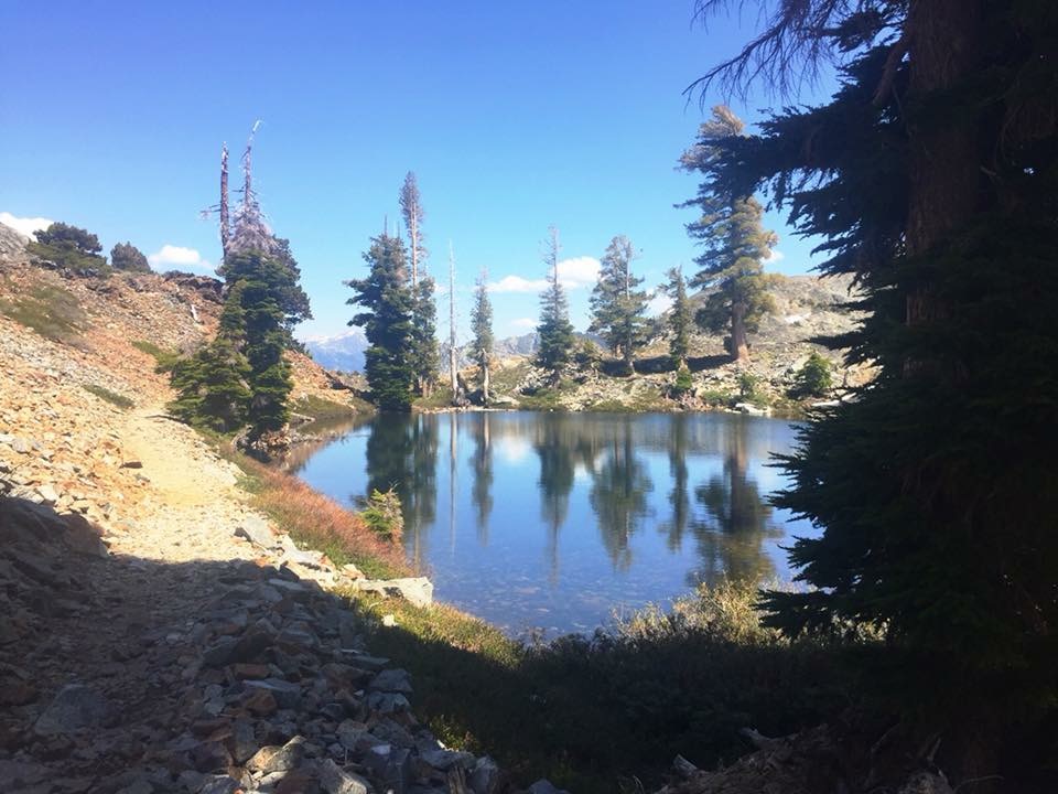
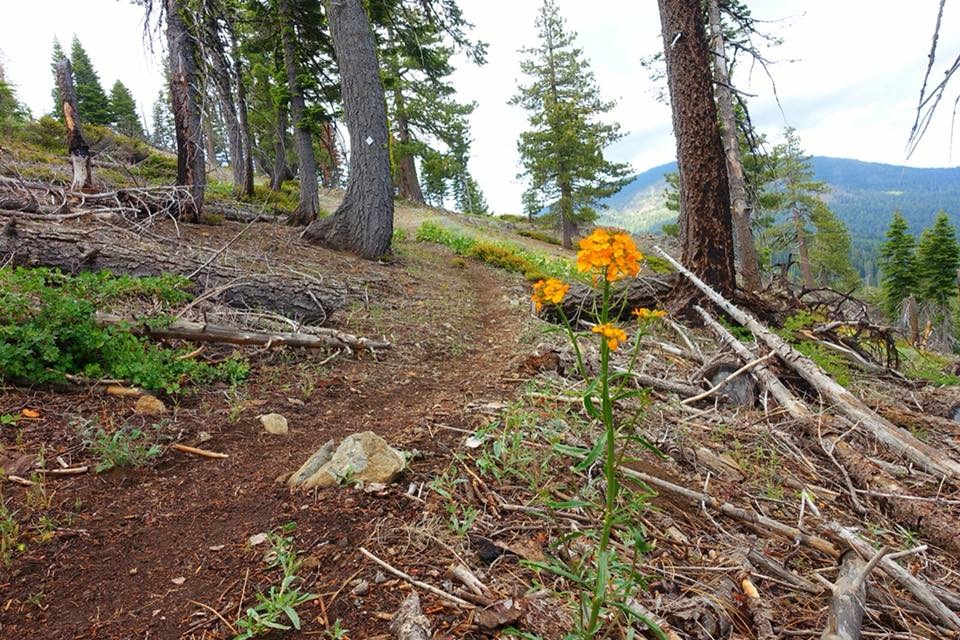
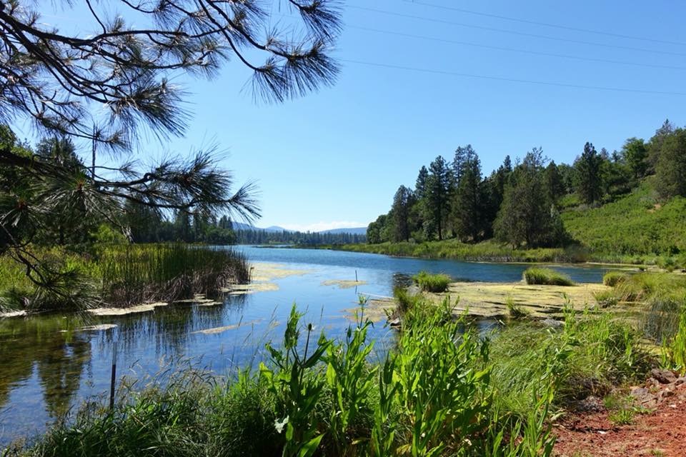
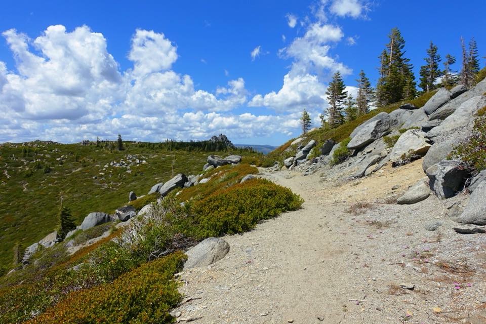
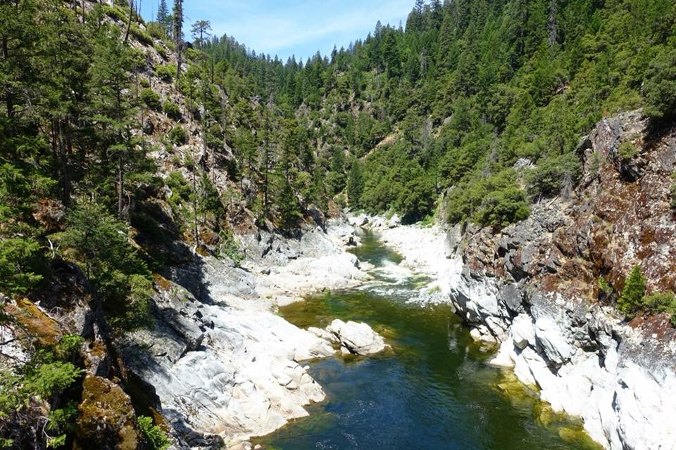
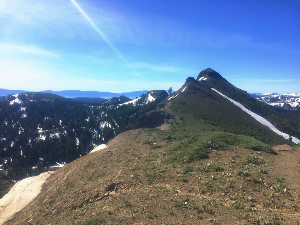
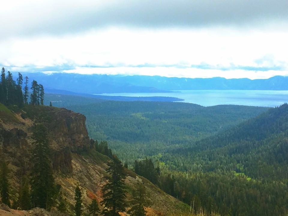
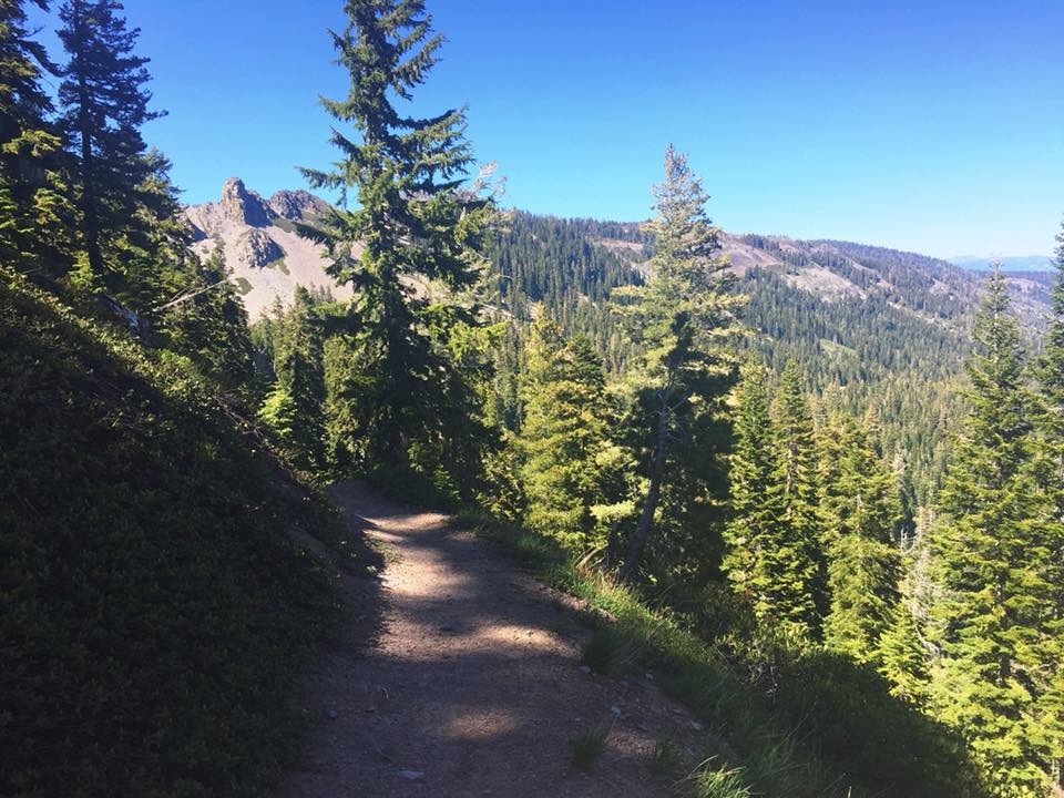
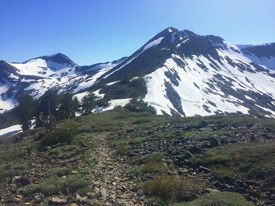
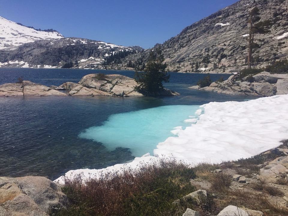
Another climb up to 8256 ft at the end of the day to the viewpoint over McKinney Bay brought on more snow on the northern descent. This was going to be the theme for the next week and a bit of a blow to my morale… I am just really feeling done with snow for a while and long for summer! Otherwise it is quite lovely here! This section out of Tahoe, Desolation Wilderness, has probably been the most scenic part of the trail so far. Lots of pretty alpine lakes, glorious blue ones, not frozen over and covered in snow.
I passed by one of the few huts on the PCT here. Peter Grubb hut, maintained by the Sierra Club. Most notable was probably the two story outhouse/longdrop… I did not stay the night though, I got there a bit early and felt like doing a few more miles before stopping.
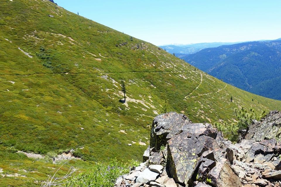
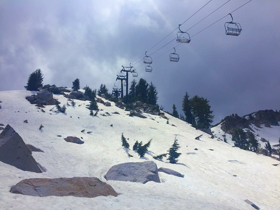
Walking the high ridgeline up by the Tahoe ski resorts in a gale was interesting though. The trail is rather exposed here and the wind almost knocked me over several times. A cold night followed with temperatures dipping below freezing.
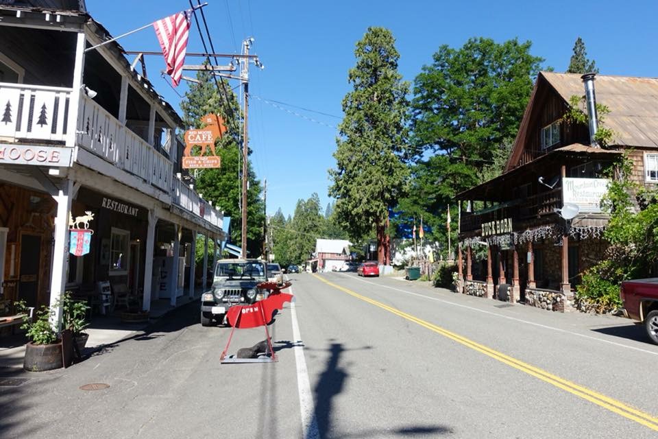
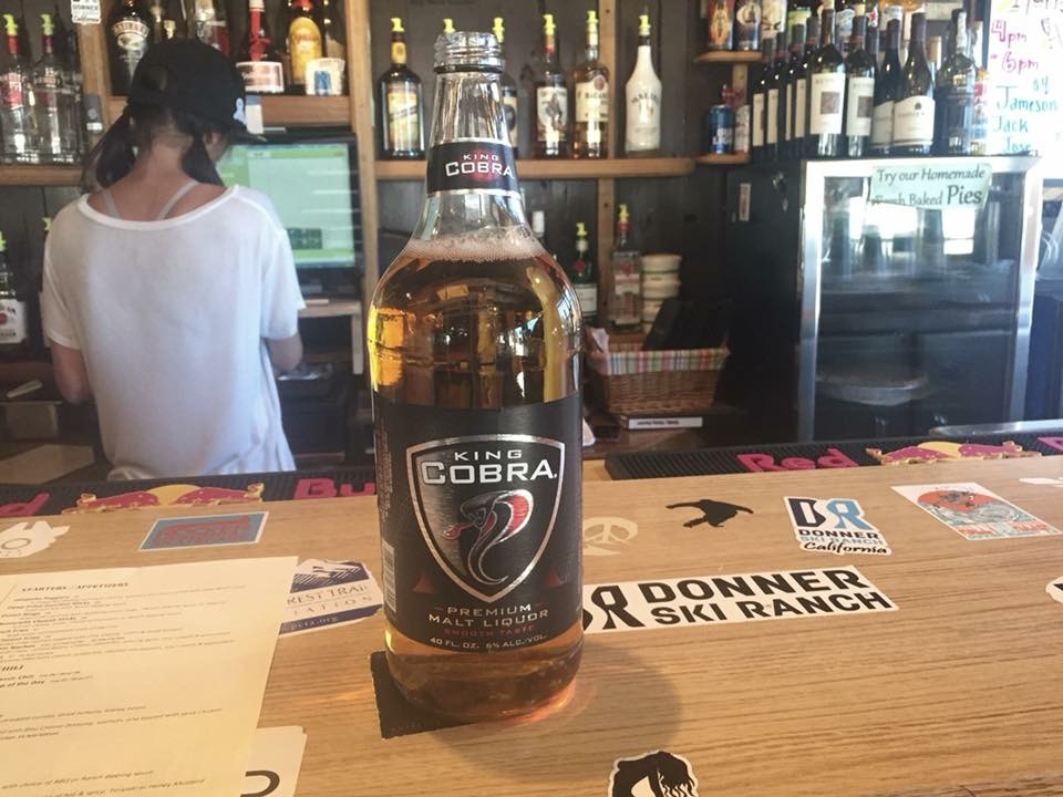
I had heard that thru-hikers get a free beer at the Donner Ski Resort so I popped in around lunch. Turns out the PCT hiker special was a 40 oz bottle and I still had 8+ miles to walk that day! So I just sipped on it for a while then left feeling strange and a bit low. Stops in “civilization” does that to me sometimes. I could not shake the feeling for a couple of hours. Donner Pass is very, very busy place, at least on a weekend like this which did not help. I tried to maneuver around some tourists unruly kids and banged up my right shin pretty bad on a rock. Swollen, bleeding and generally sore. Fantastic! It took three weeks for the swelling to finally go down. Weekends in towns or near busy trailheads can be really awkward. I become a bit reclusive on trail and enjoy my solitude.
I walked into Sierra City around noon. Calling it a city is a bit if a stretch, but there is a small uninspired general store and a post office at least. Oh, and the church welcomes PCT hikers to camp on their lawn and the info center next door offer cold showers for free. Nice with hiker friendly towns! I did my postoffice duties and attempted a resupply at the general store. I wish I had sent a food box here… I had no cell service here either, this has been but notoriously dead section, but the general store offered free wifi so I could still send out a life sign to my family and videotalk to Scott before moving on north.
There were a handful of PCT hikers in town actually and we were 6 tents plus a hammock behind the church that night. I would float in and out of this bubble of hikers for the next week, but continue on walking solo.
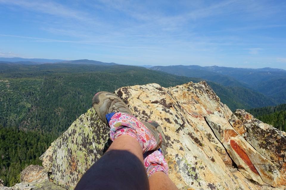
A lot of climbing through this section. In the Sierra you tend to walk up a valley and over a big pass, then down the valley on the other side. While the passes are high and demanding, it usually meant one big push per day. Here the trail is cutting across the mountain range instead, so while not as tall and dramatic, it is a lot of up and down all day! Reminds me a lot of New Zealand actually. It is a pretty dry section too, so I choose to do more miles walking between good water sources, especially since it has been really hot lately, close to 30 C. Well I wanted summer… here it is! I am feeling pretty strong though and actually walked into my next resupply point, Belden, half a day early.
Belden is even smaller than Sierra City, a tiny town consisting of a pub and a really weird general store. I mean… they carried a pregnancy test kit, but no oatmeal or tortillas (and only smooth peanut butter!) so resupplying here left a lot to be desired. I tried to do my 6 day resupply to Burney, but failed. So I made a new plan which included a stopover in Chester, two-days walk from Belden, where there is a proper grocery store.
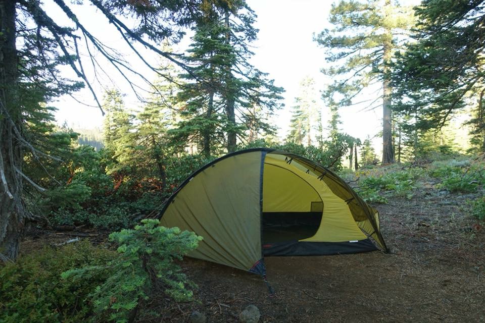
Leaving Belden is a big job as you have to climb back up the 5000 ft you just came down the day before. That must be some sort of a record for the PCT so far… most vertical feet lost and gained in a 24 hour period? Not super steep but arduous and it took all morning. According to the forecast there would be quite a bit of rain coming too. It started after lunch and kept coming on/off for the rest of the day and well into the evening. I got into Chester around noon and went to the church to pitch my tent before doing my resupply. Nice that the churches are so hiker friendly through here. No hostels in these small towns and finding camp spots in/near towns Is not easy and motels are very expensive.
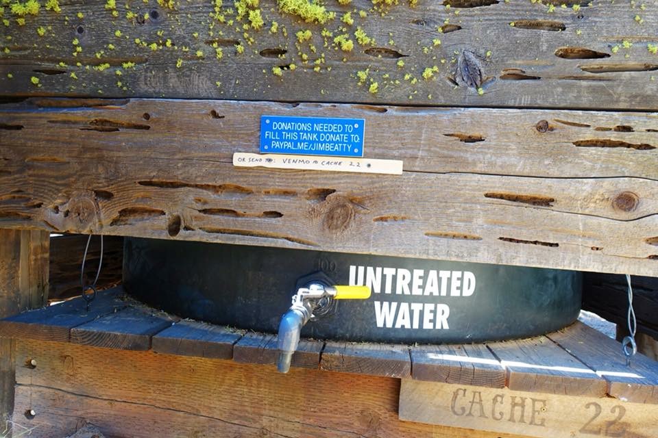
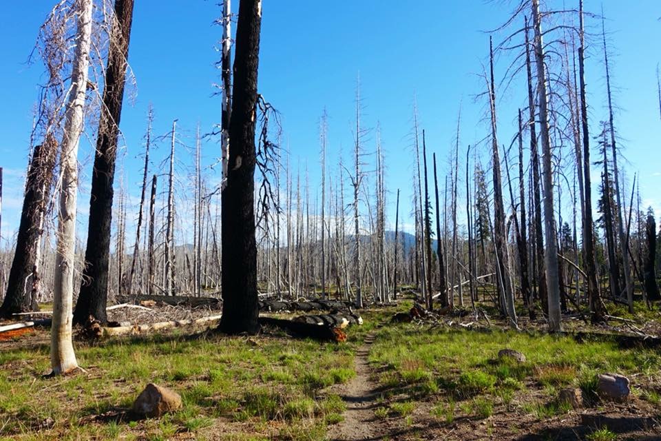
Last stretch into Burney was not a very inspiring. Heaps of mosquitoes, a burned out forest, then flat, dry and super hot… I was getting serious desert flashbacks. I just wanted to get there, so I did my first 30 mile day since the desert, that is almost 50 km and ten hours of walking! But it is hard to stop when you have so much daylight, but more than anything, water dictates. Water is not only far in between here, but also not uncommonly hard to get to. Like a brutal 400 ft near vertical climb down a ravine for example. Thankfully there are some phenomenal trail angels who make the driest sections of the PCT a little more manageable by maintaining water caches for us hikers — thank you!
A side note… I don’t see a single person all day, then I stop for lunch and take my t-shirt off to dry while eating wearing only a sports bra… in those 20 minutes two hikers and an entire fire squad (5 guys) out on a training mission walk by… typical… lol.
The final push into Burney was hot and dusty but I finally made it to the highway and got a great hitch fairly quick. Since I have already done the Burney to Ashland section back in April, my plan was to bus up to Ashland in the morning, then take a couple of zero days to get ready to take on Oregon.
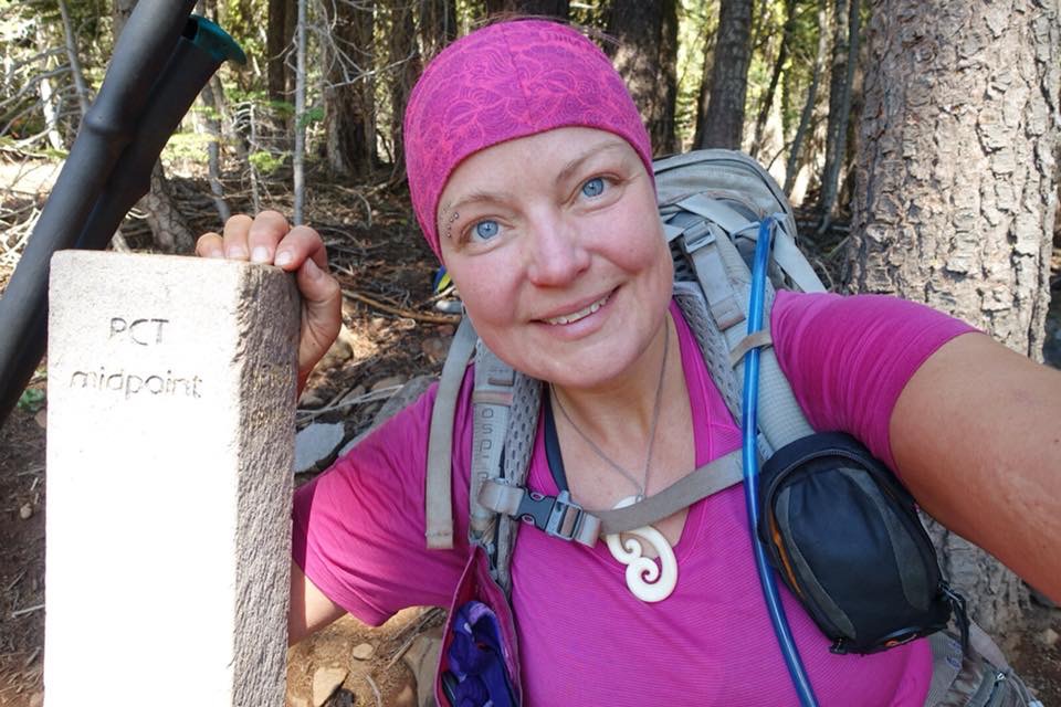
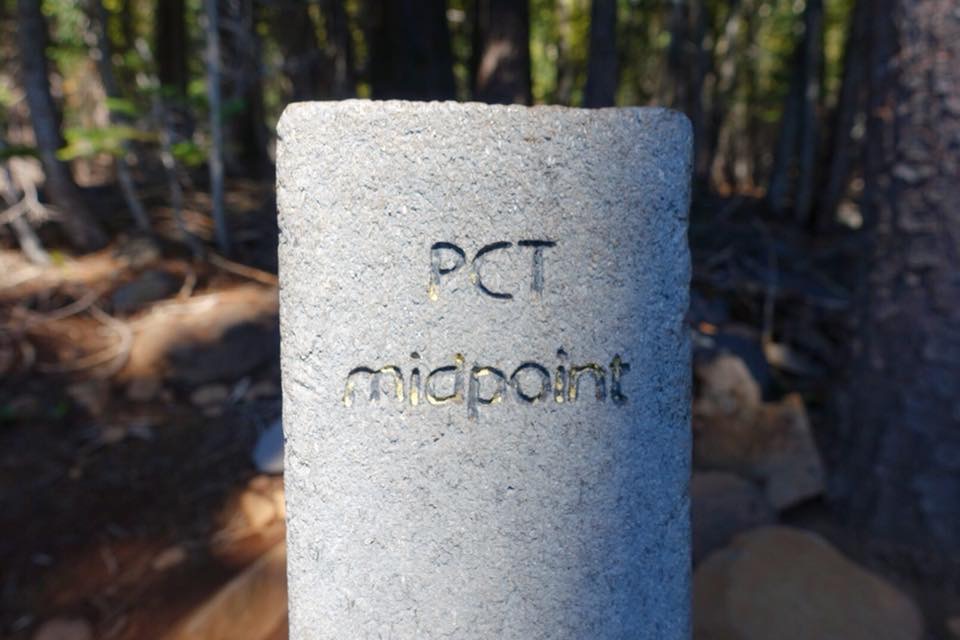
I passed the PCT midpoint on this stretch, although I already walked half way (milage wise) a few hundred miles back since Scott and I jumped up the trail for a few weeks before entering the Sierra… still pretty cool.
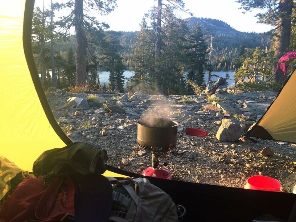
I really love life on trail. You get into a natural rhythm where you wake and go to sleep with the sun. Everything is more clear and simple. You eat, sleep and walk. It is very centering.


Leave A Comment