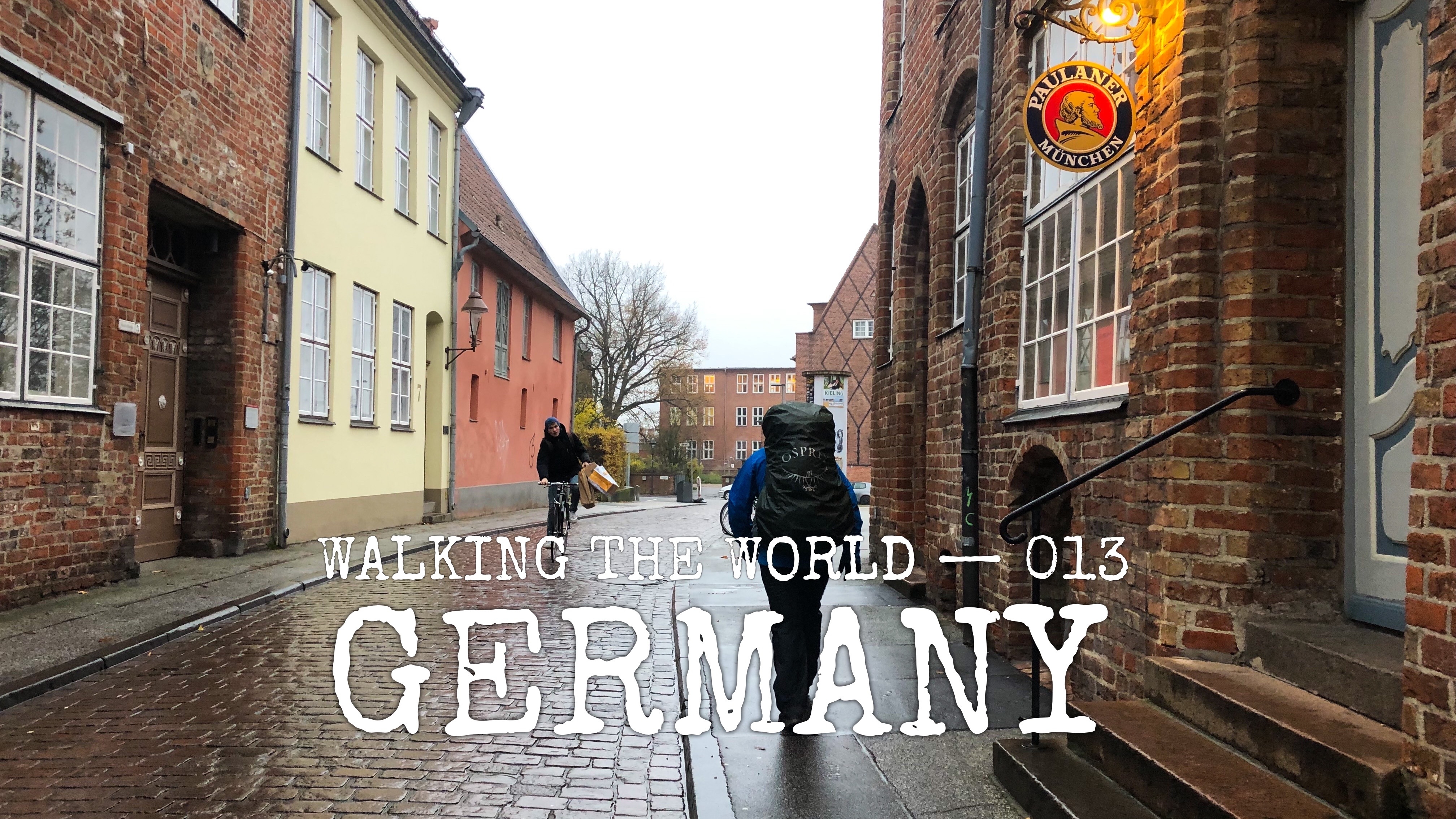
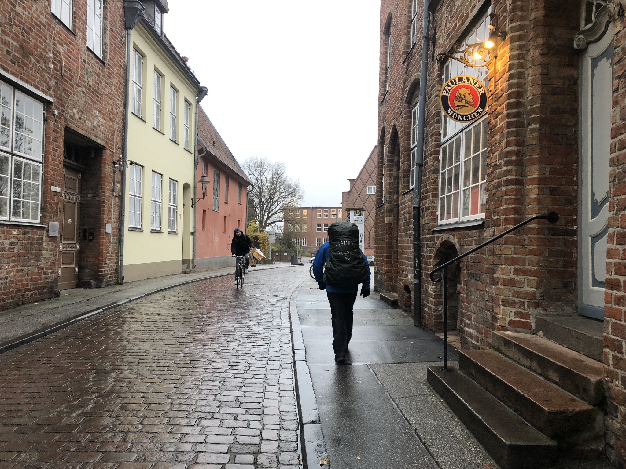
Walking the world
- Country: Germany
- Continent: Europe
- Route: Travemünde to Bad Nieuweschans
- When: 19 November – 4 December 2019
- Season: fall and winter
- Distance: 428 km (3538 in total)
Summary
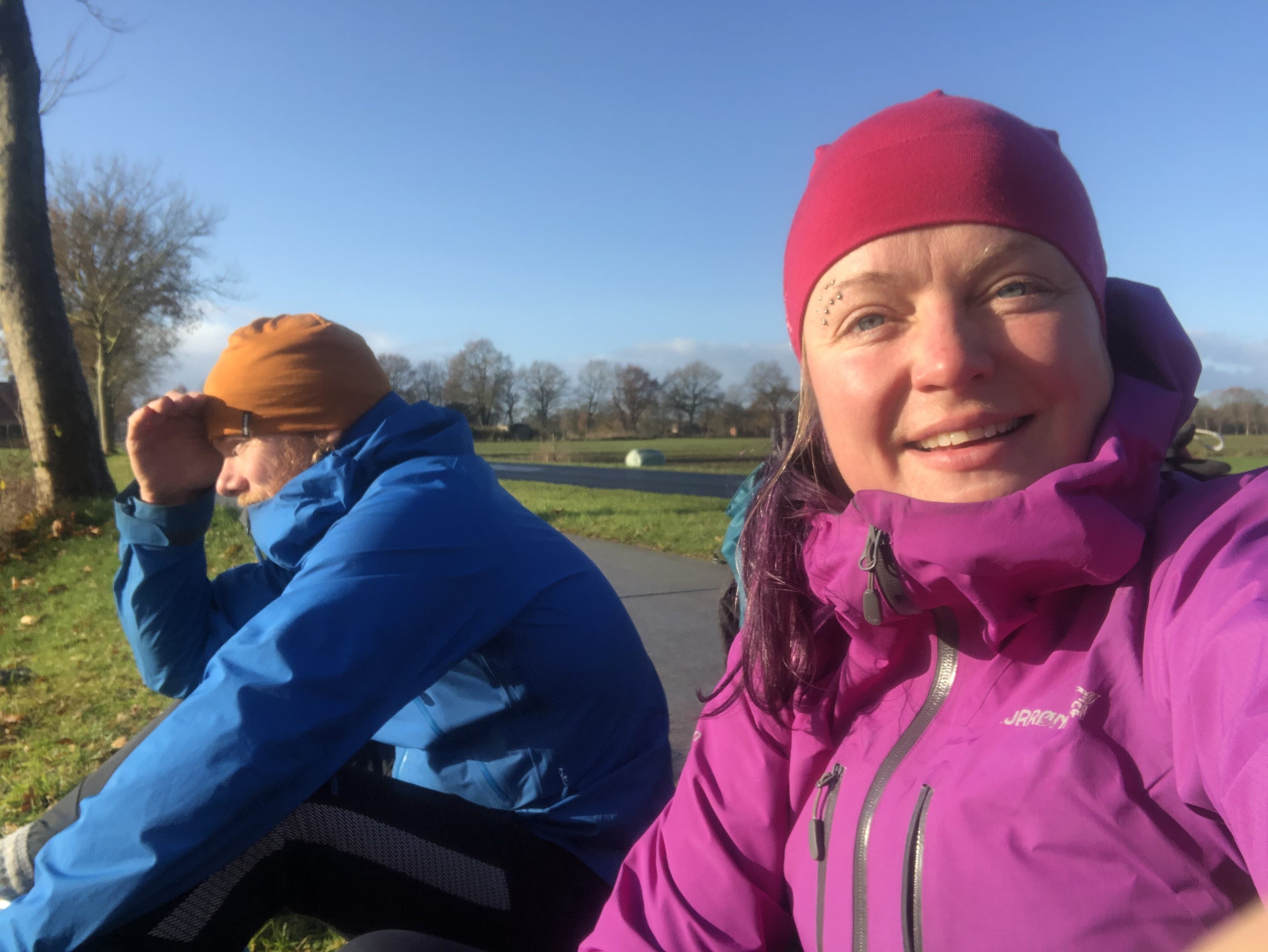
For the past 2 weeks we have hiked through Germany. We chose a northern route close to the Baltic Sea making our way towards the UK.
While mostly rural farmlands and apple orchards, we did stay a night with trail angels in Hamburg and took the opportunity to explore the city nightlife for a change. The biggest difference from Scandinavia is that wild camping is not allowed here, so we have to really be stealthy about where we choose to camp. This update covers 428 km from Travemünde to Bad Nieuweschans on the border with the Netherlands.
Trail description
Terrain
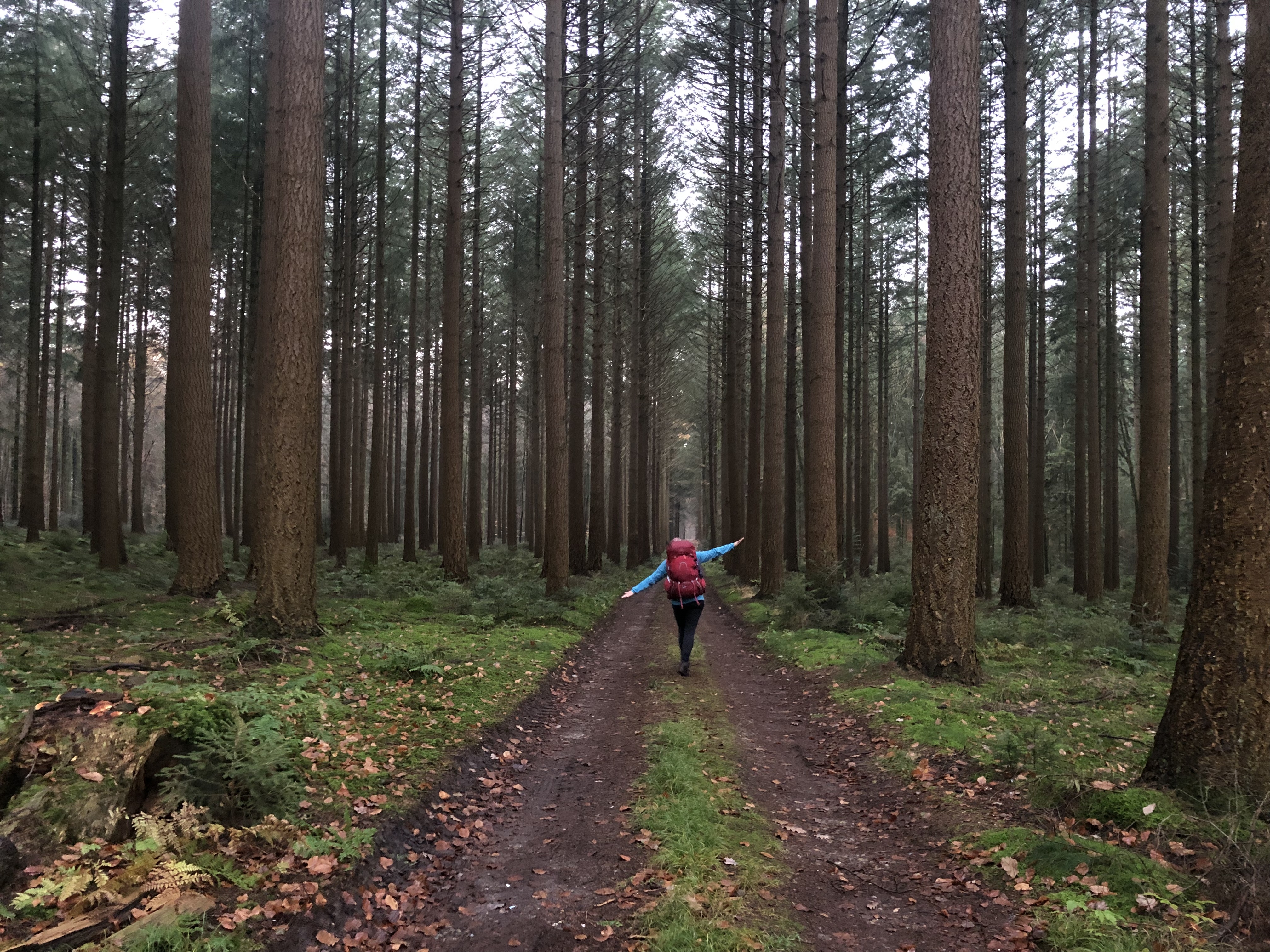
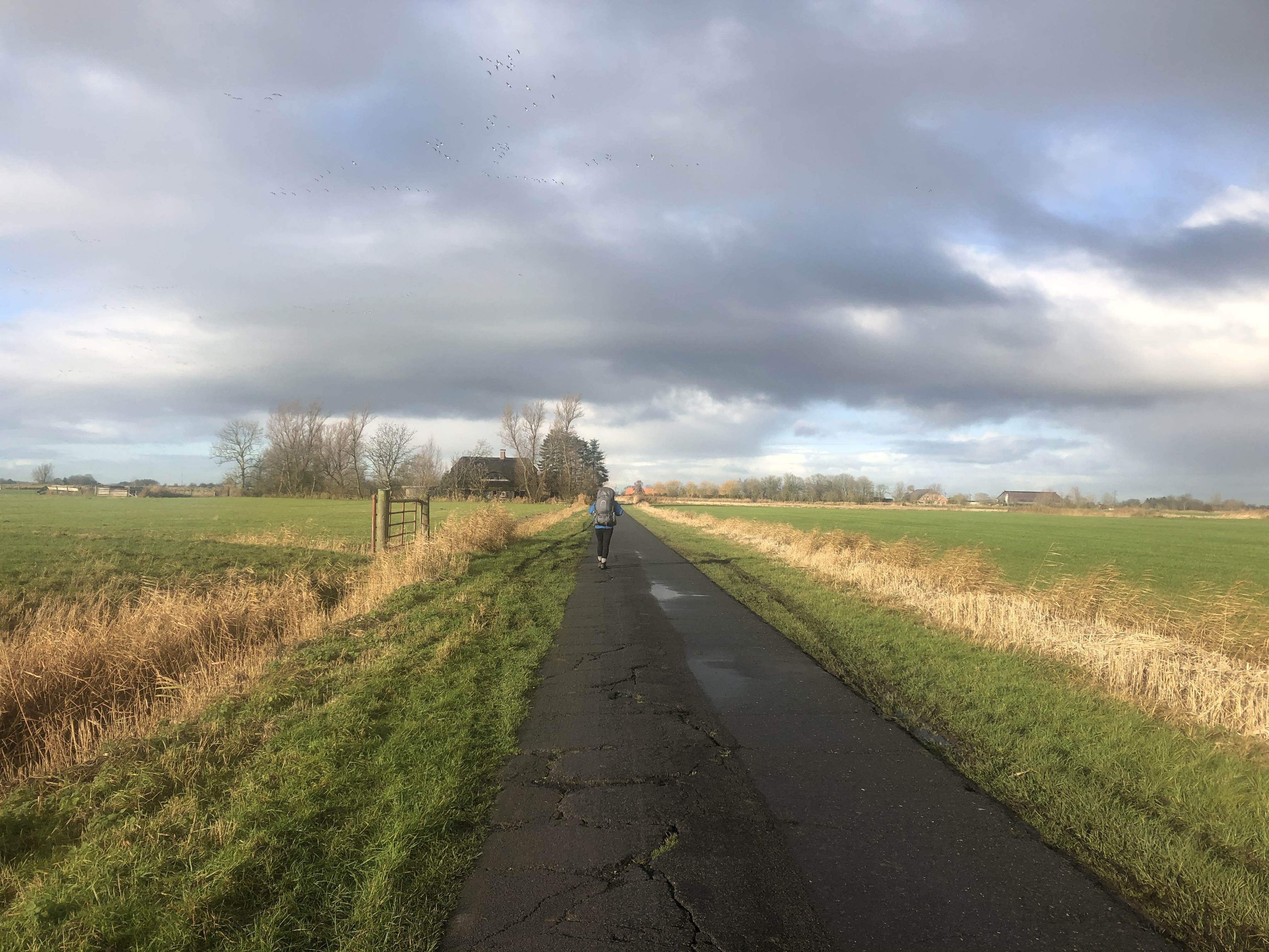
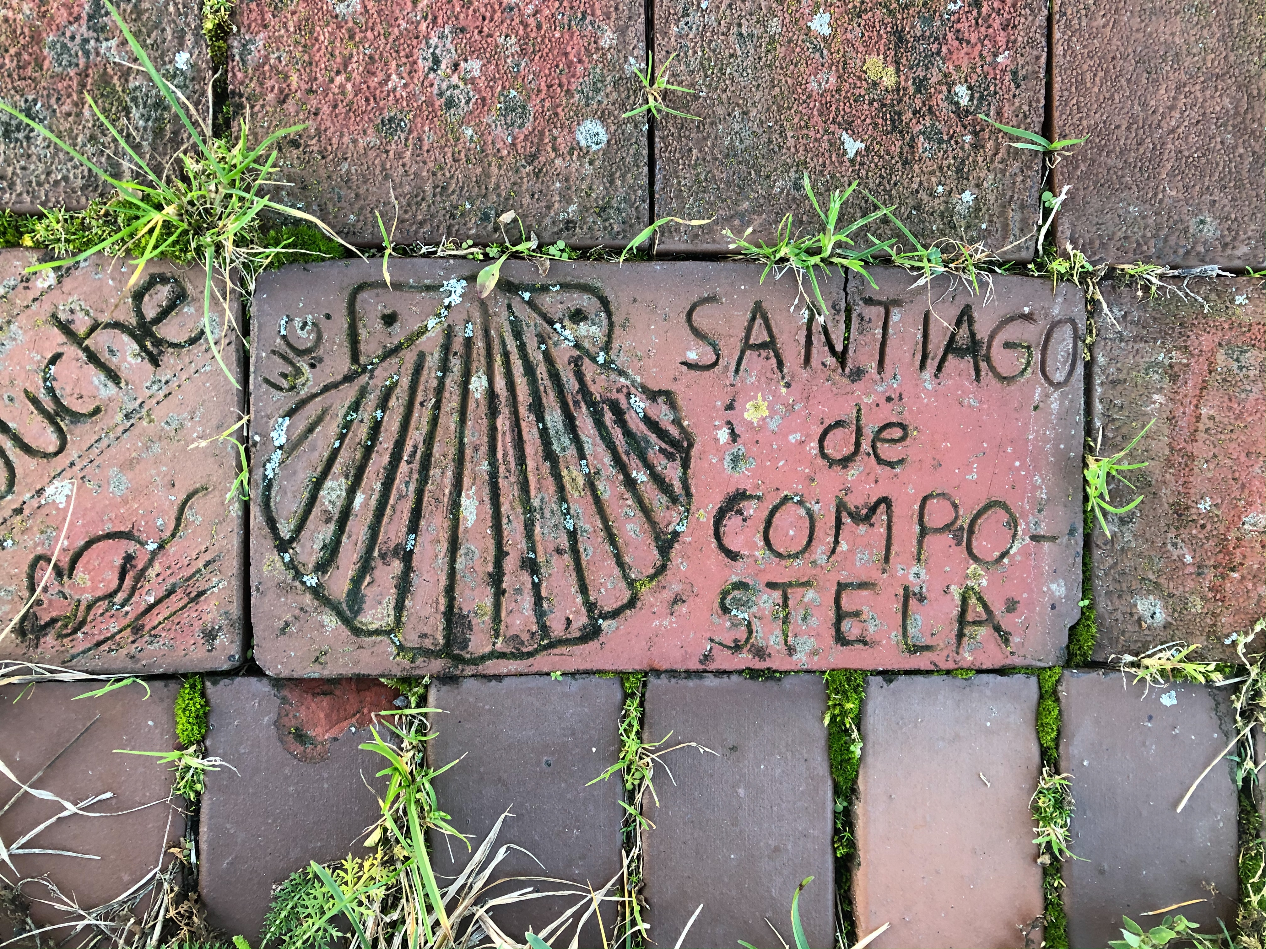
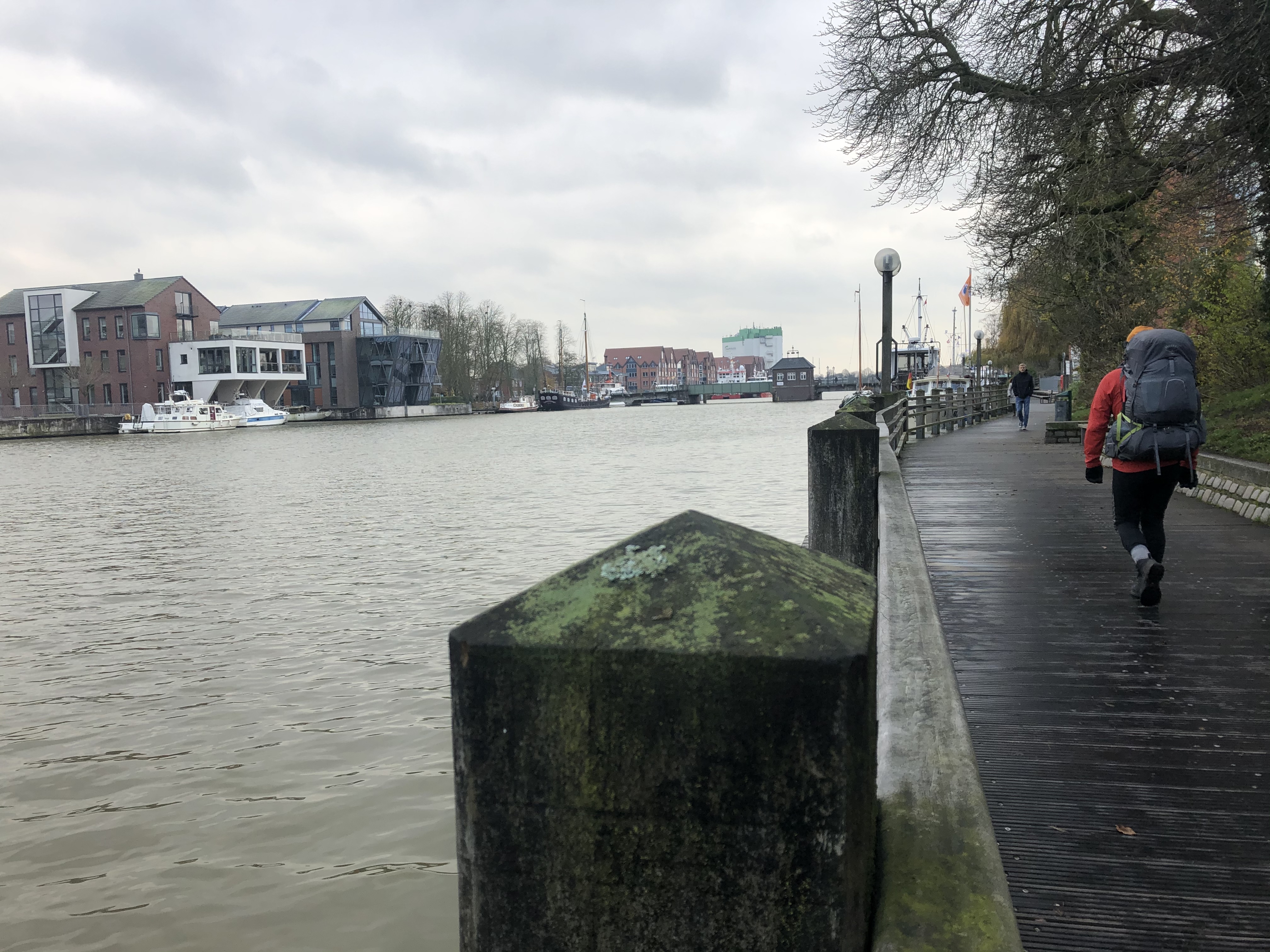
We jump off the ferry in Travemūnde entering Germany. We use a combination of pilgrim trails, cycle paths and the Hanseatenweg trail as our main guide to Hamburg. This lead us through small villages, back farm roads and small forest trails.
From Hamburg we make our way through the city under the Elba river into the industrial port district. We followed the river through apple country until we connected with the Elba weser wanderweg trail which took us south through farmland to Bremerhaven.
We continued south-west to the Netherlands using small roads, cycle paths and a number of small trails, crossing the border at Bad Nieuweschans.
Gaia GPS track
The route
Trails and paths and resources used to create our route through Germany:
Trail journal
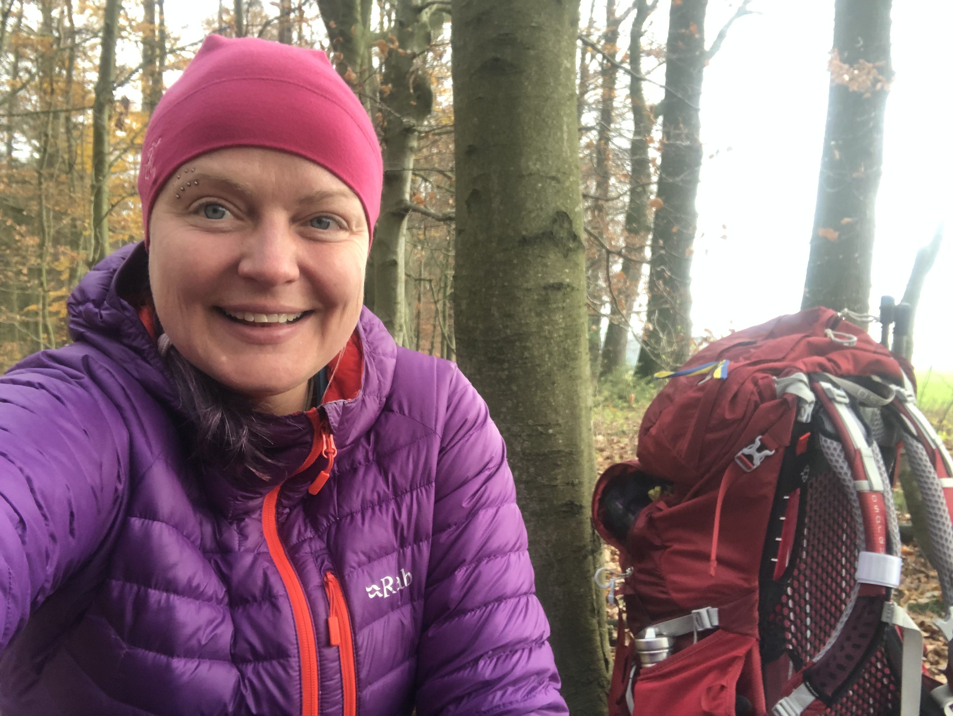
Day 146: Travemünde
Distance: 4 + 1 km (3111 + km total). Weather: overcast
We walked the remaining 4 km to the harbor and boarded the morning ferry from Malmö to Travemünde. A 9 hour ride where we will try to wrap up the Scandinavia stage on social media before starting the Germany adventure.
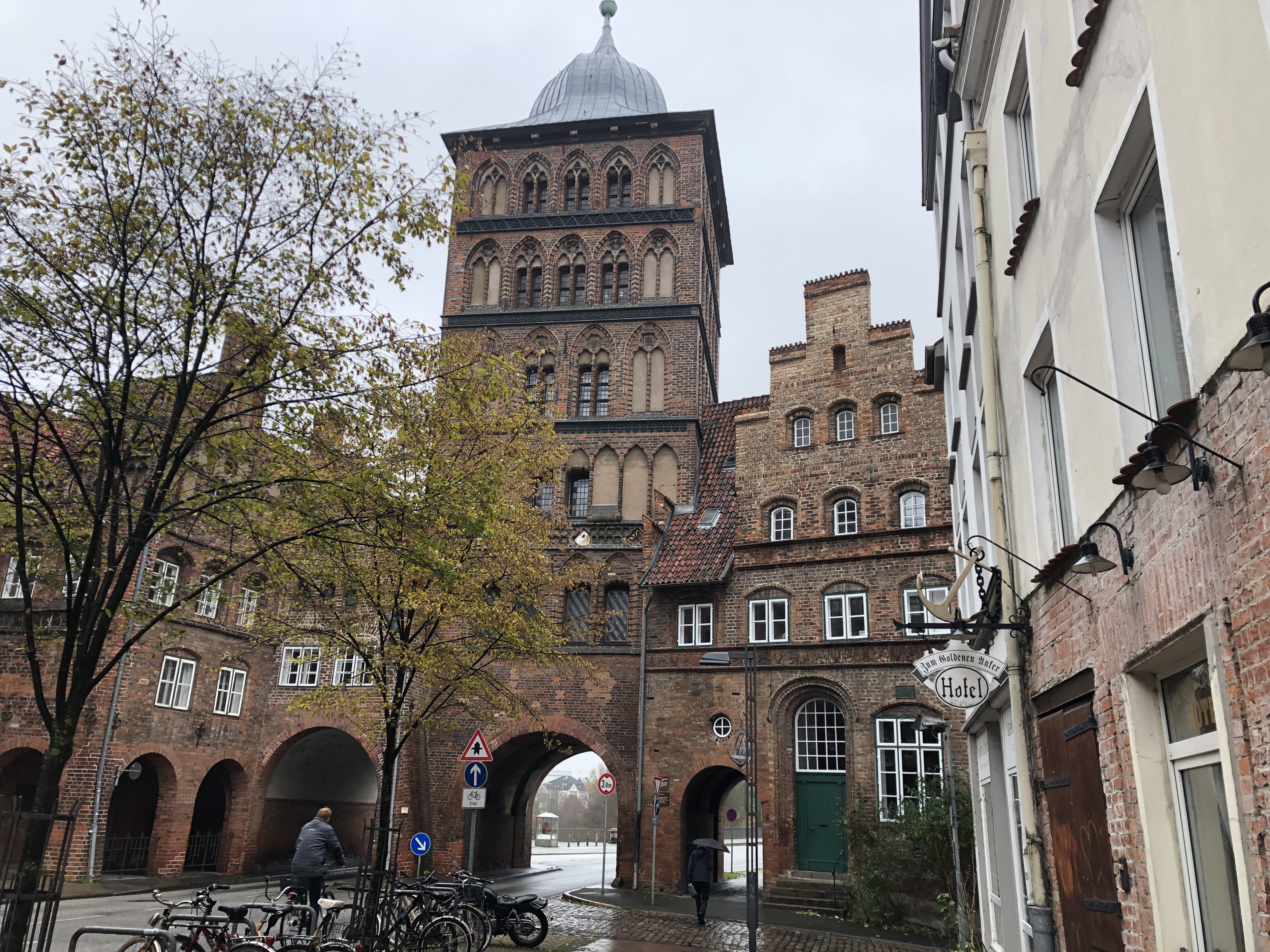
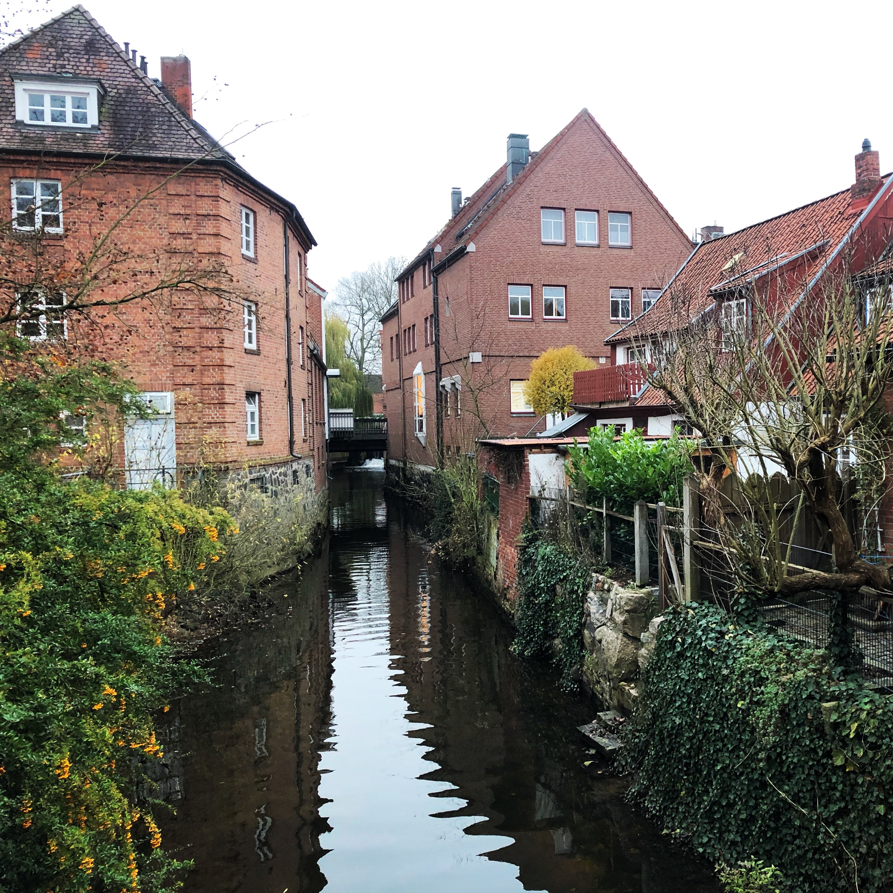
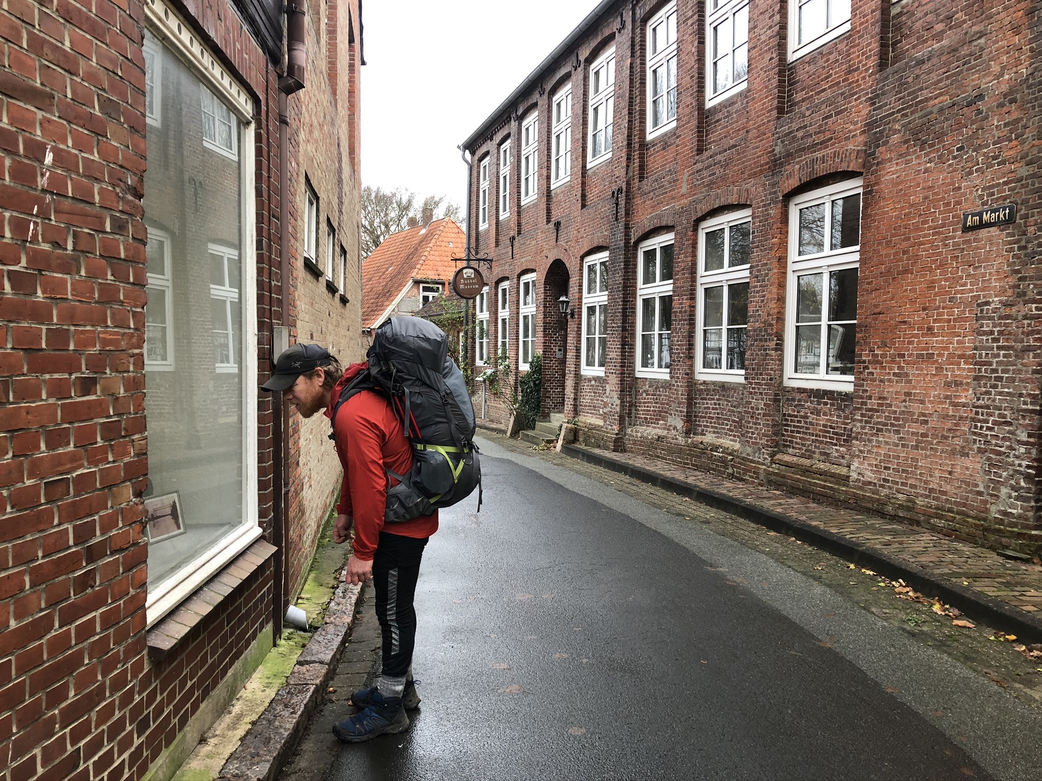
Day 147: Lübeck
Distance: 29 km (3140 km total)
Weather: light rain
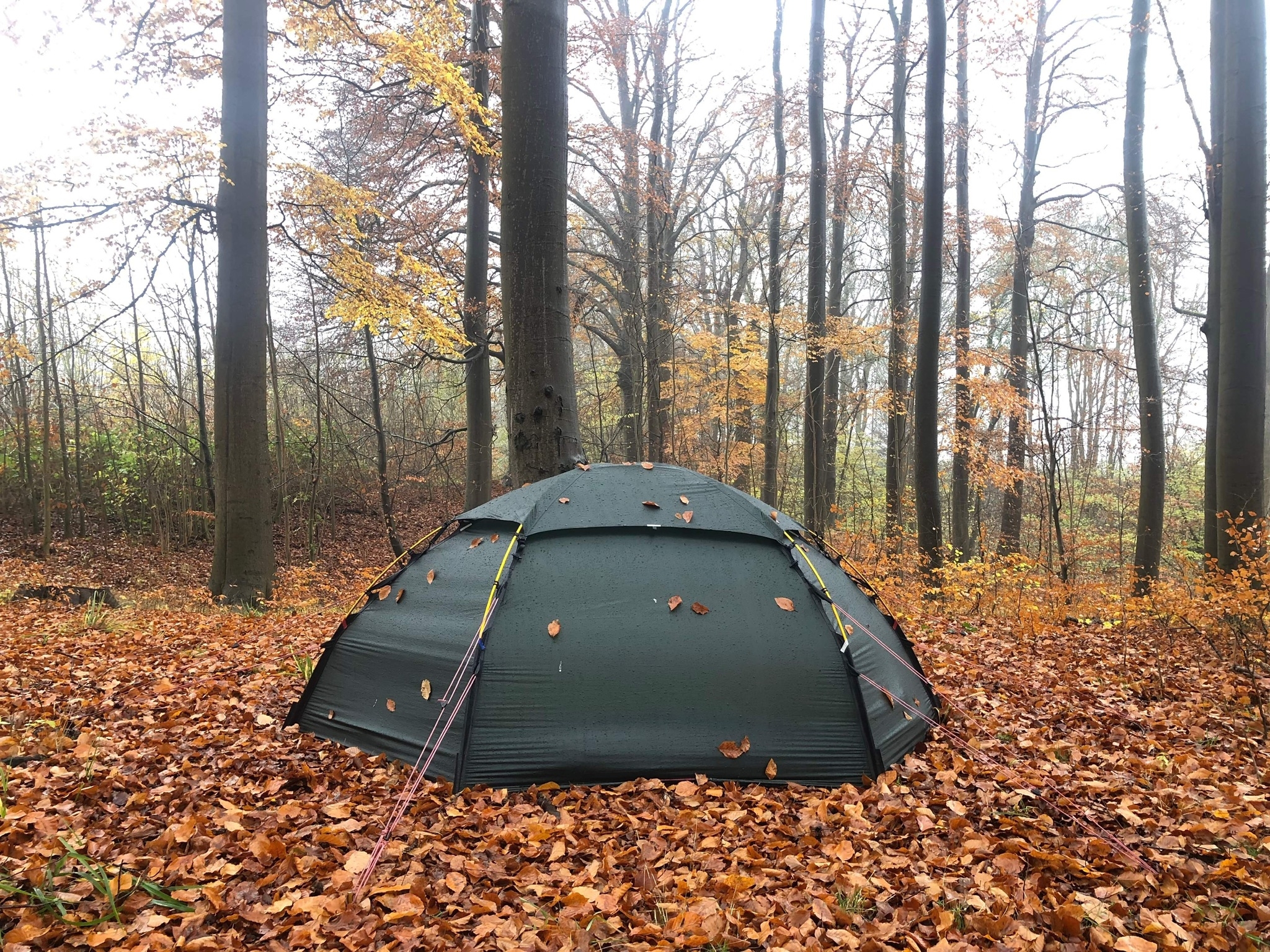
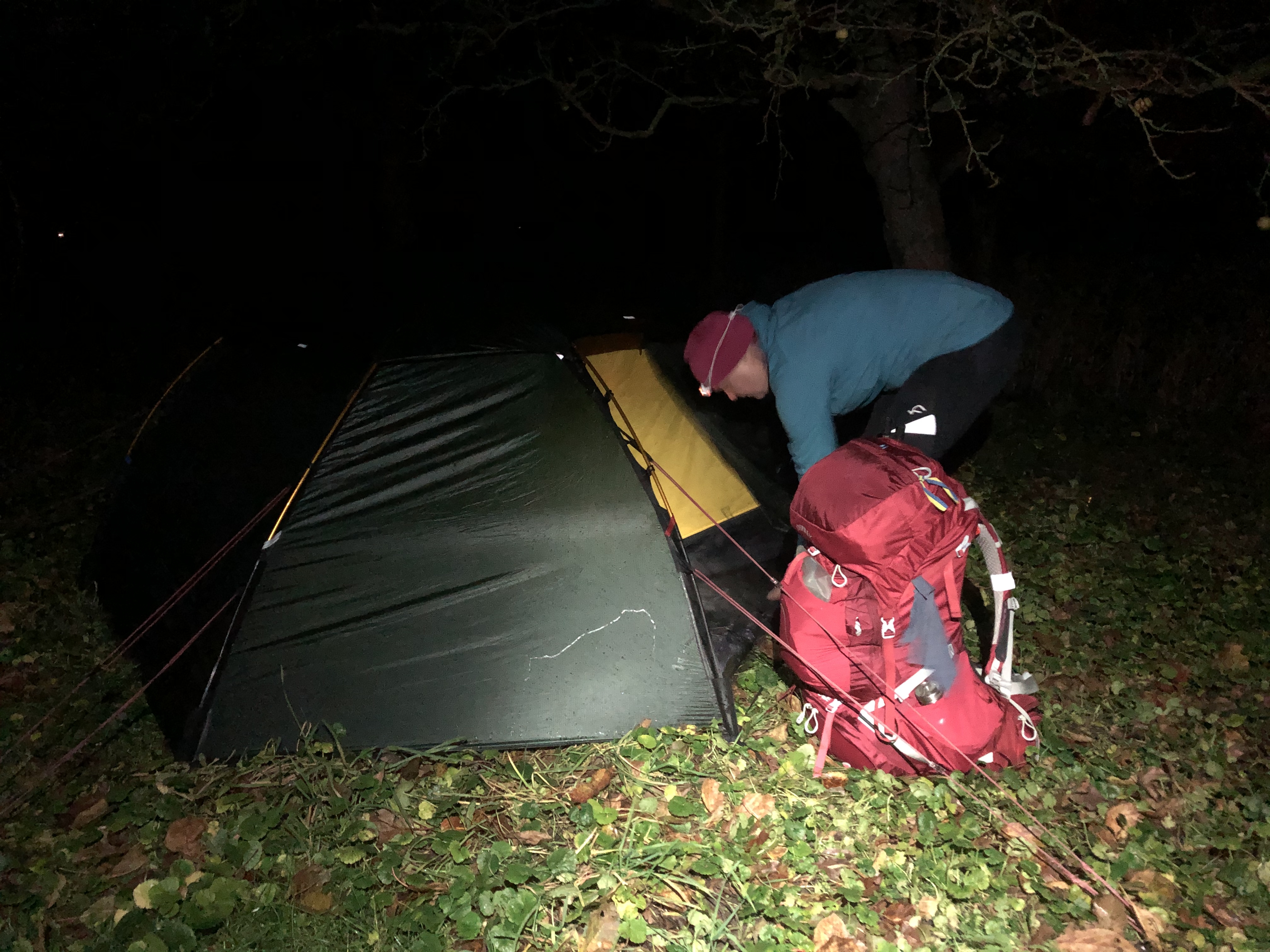
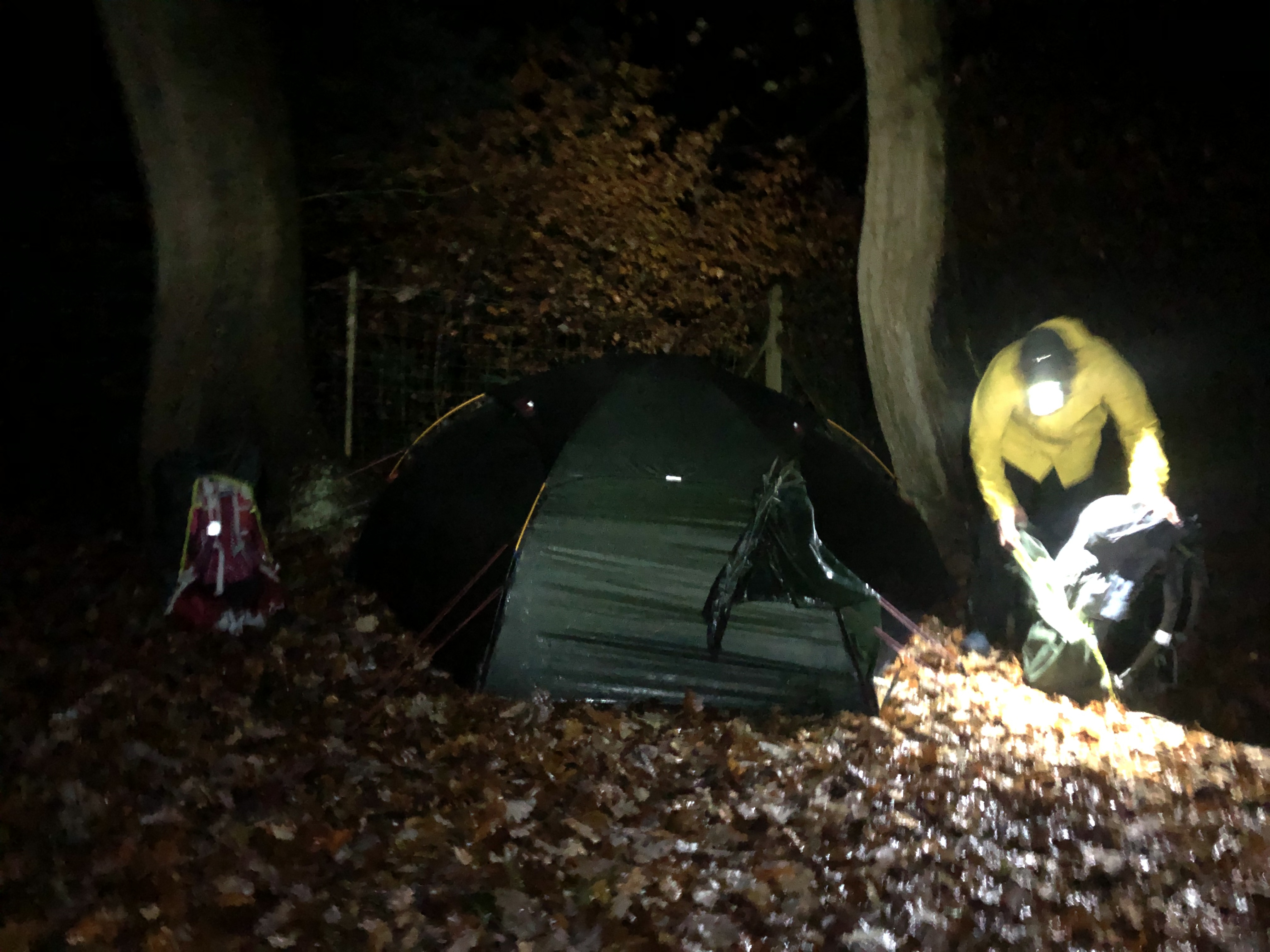
We woke to a gray and rainy day. A light drizzle all day. We still ha a very nice stroll through Lübeck. Beautiful town. We are camped up in a small patch of Beech trees about an hours walk out of town. Nice and peaceful. We are heading towards Hamburg next, a two day walk.
Day 148: Lübeck
Distance: 0 km (3140 km total). Weather: rain
We slept in… woke to the sound of rain on the tent fly. So we just rolled over and took a nap. An unplanned rest day where we decided to stay put and catch up on some social media duties instead of walking in the rain. Check the blog for a big summary of the Scandinavian stage of the expedition.
Day 149: Grabau
Distance: 29 km (3169 km total). Weather: overcast
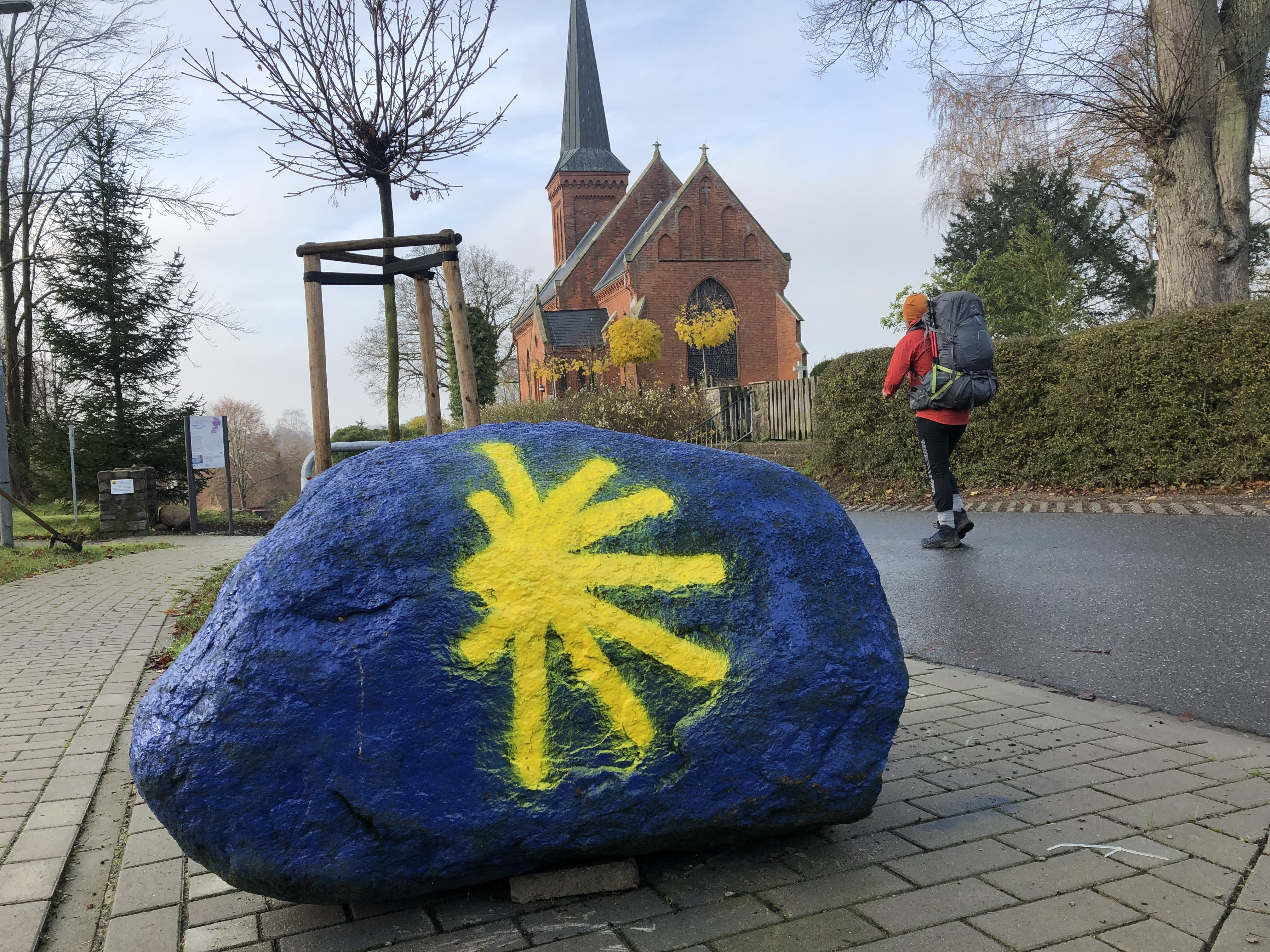
Another day walking through the German countryside. No rain today, yay! We have been following Hanseatenweg, a pilgrim trail, more or less since landing in Travemünde. Really well signposted. not the best of camp spots… pretty public so we’ll make sure we pack up early tomorrow morning.
Day 150: Hamburg
Distance: 35 km (3204 km total). Weather: overcast
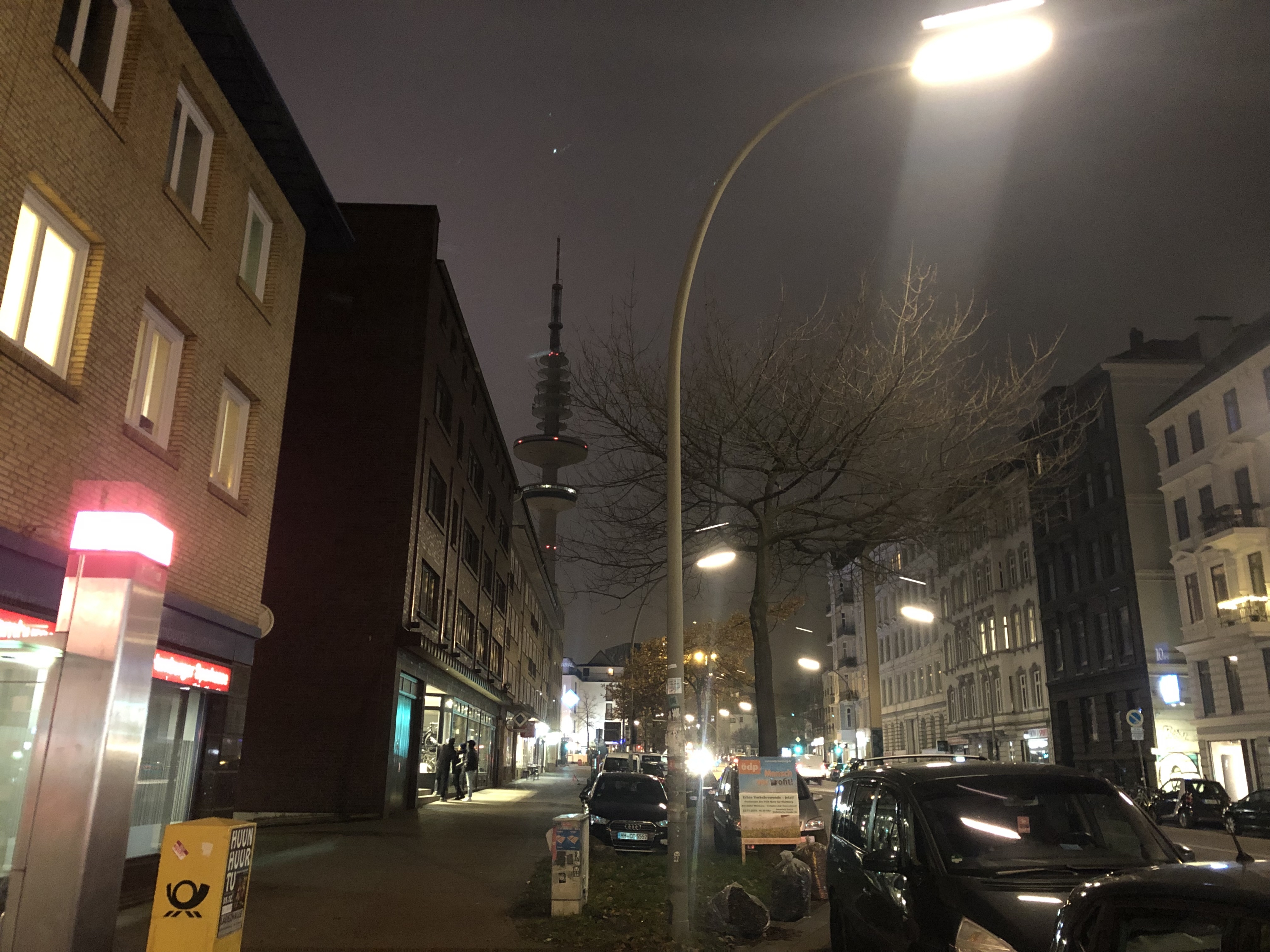
Continued along the Hanseatenweg trail today and staying with trail angels in Hamburg tonight! A lovely family who follow our journey on Facebook opened up their home to us on our way through! Amazing dinner, great company, laundry, a warm bed… We even had a chance to explore the nightlife… catch a movie… play “normal” for a short moment. The amazing kindness from strangers is the absolute highlight of this expedition! Thank you!
Day 151: Hamburg
Distance: 27 km (3231 km total). Weather: overcast
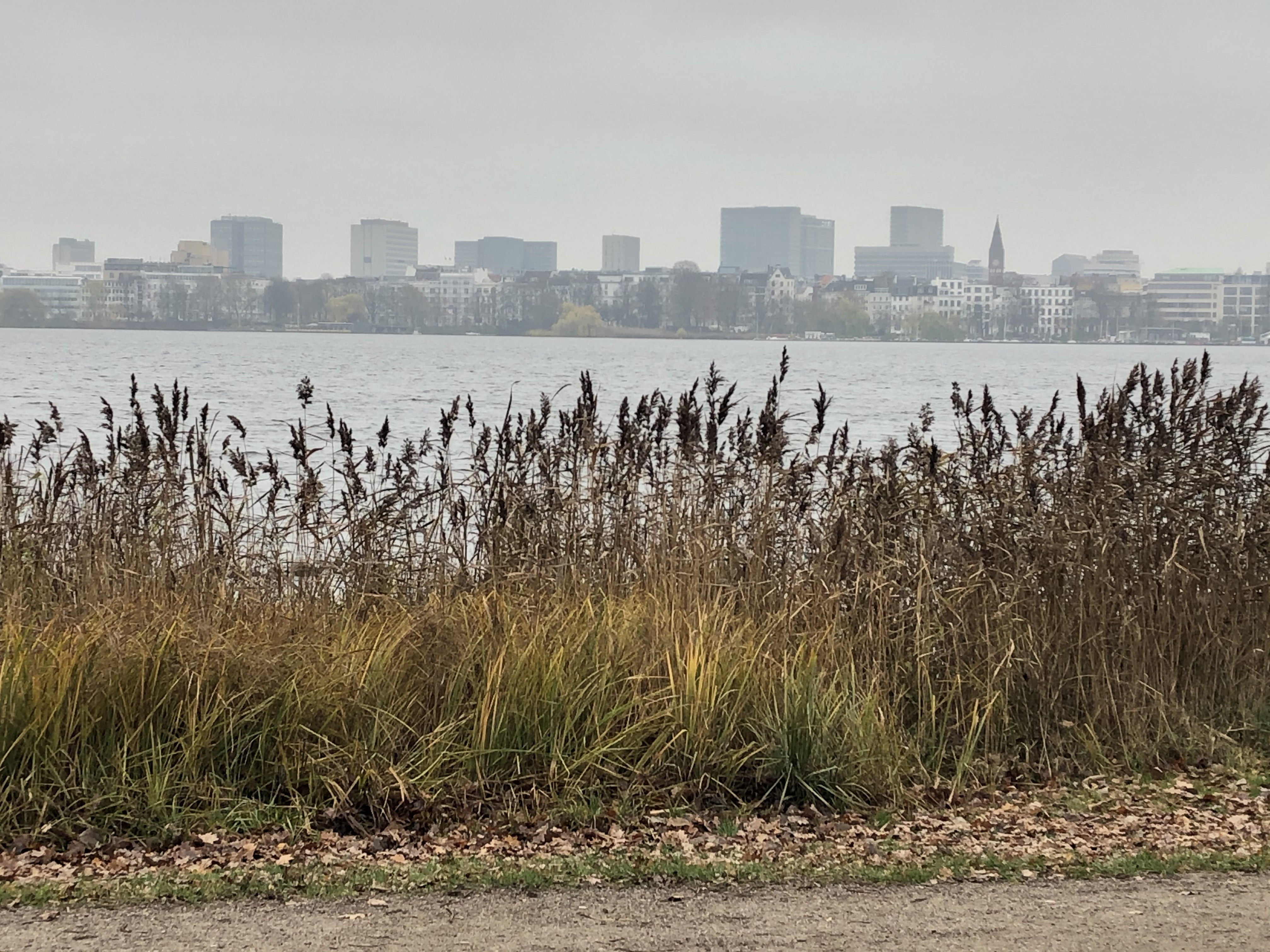
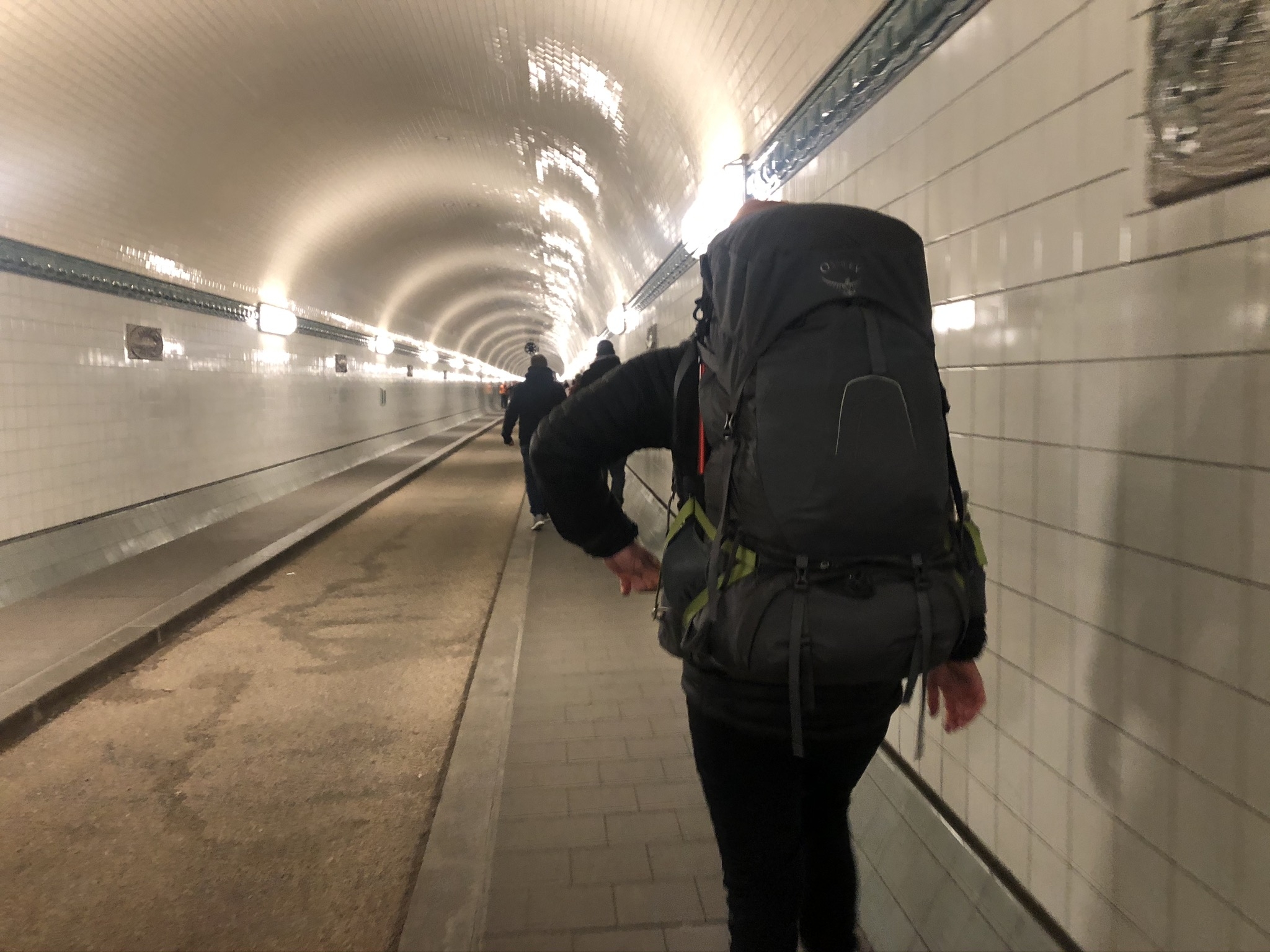
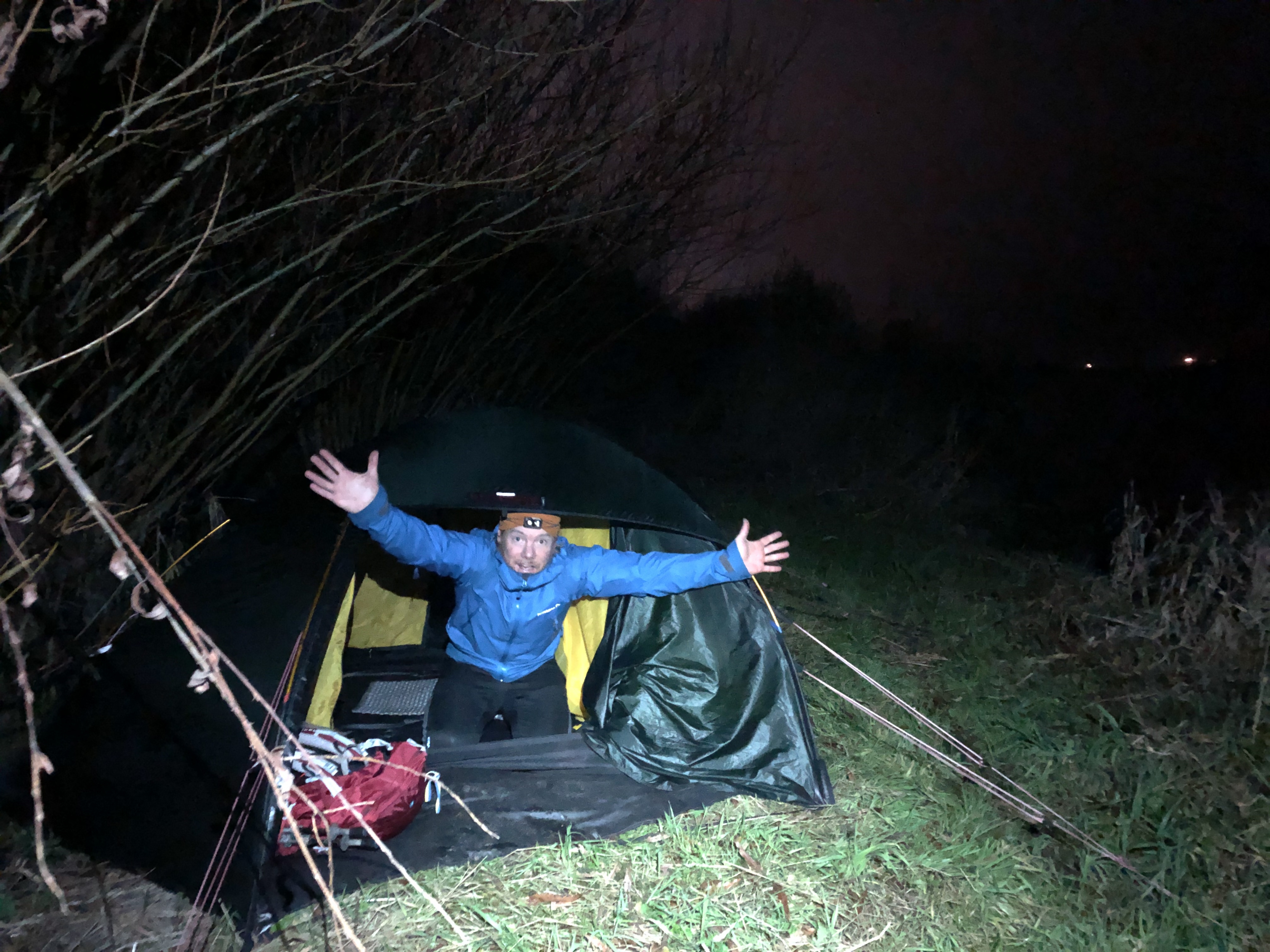
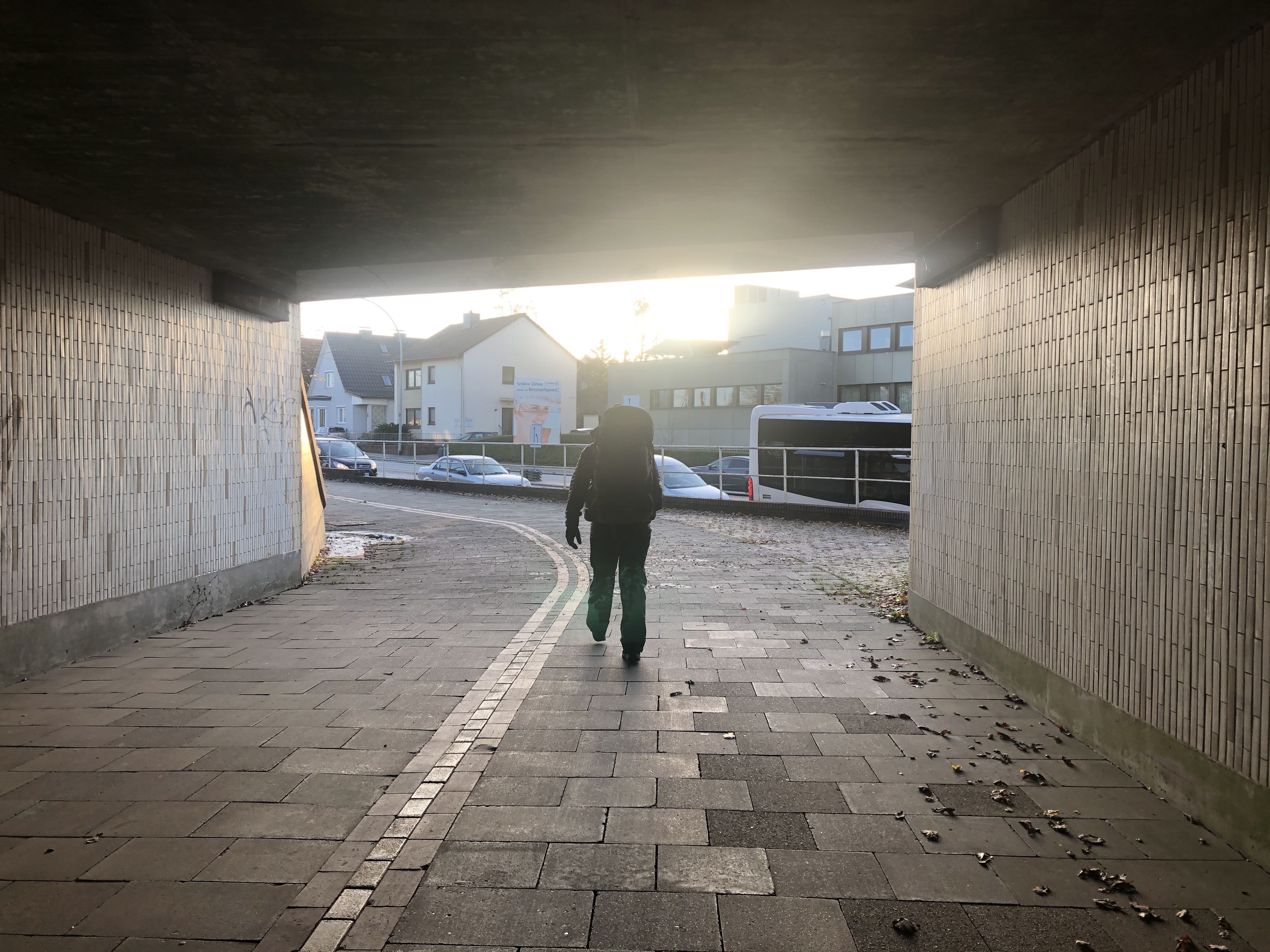
Slept in, had a lovely breakfast with our trail angel family then hit the road again. A nice walk out of Hamburg. Big city—it took all day! We walked though the tunnel under the river Elbe (cool) and then out through the enormous harbor district. Also learned that no food stores are open on Sundays so we had a shockingly bad and overpriced dinner at a truck stop… Now we are camped up in the middle of an apple orchard (!) just on the outskirts of the industrial area. Just another day walking the world…
Day 152: Bachenbrock Wende
Distance: 26 km (3257 km total). Weather: overcast
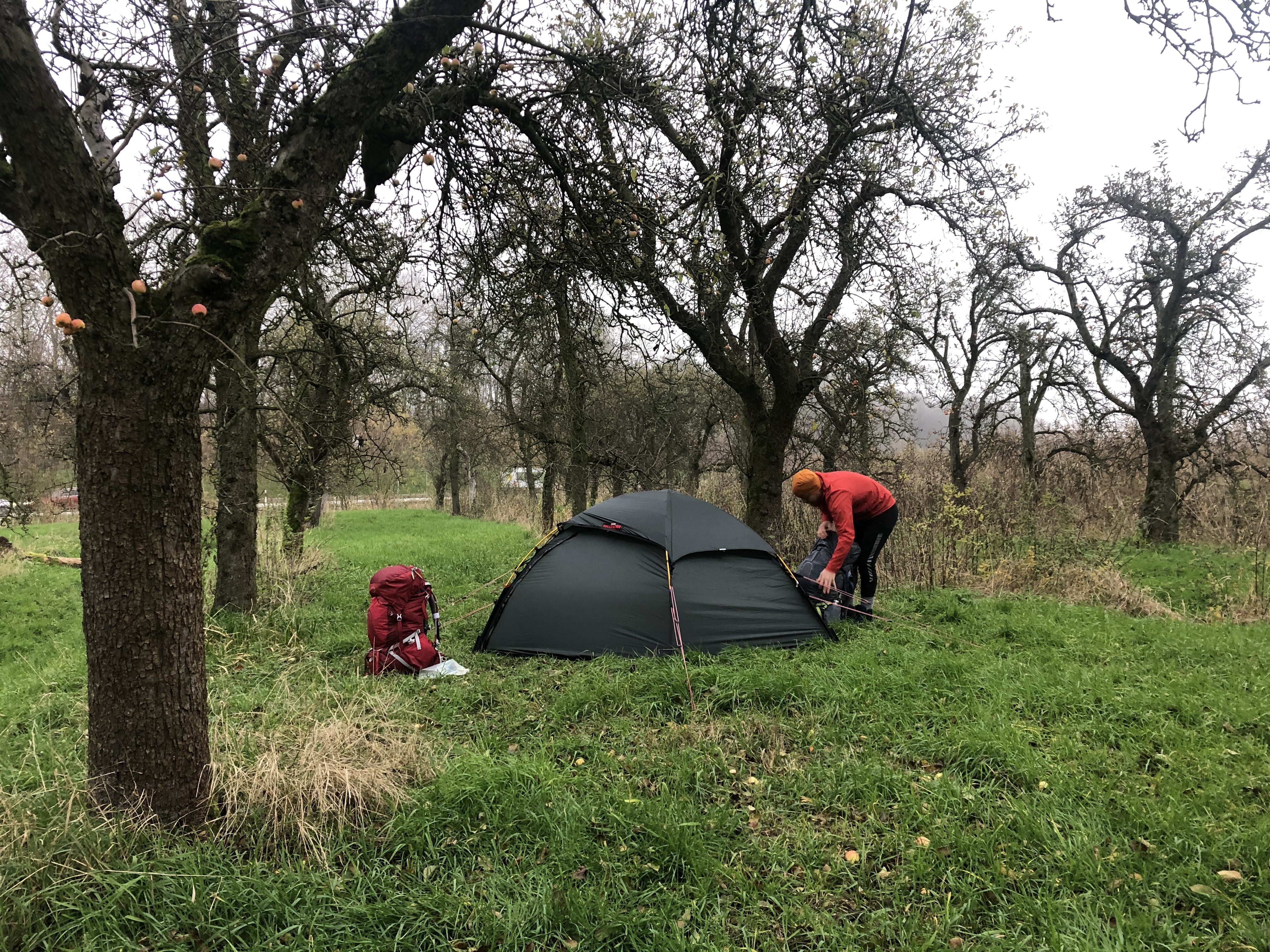
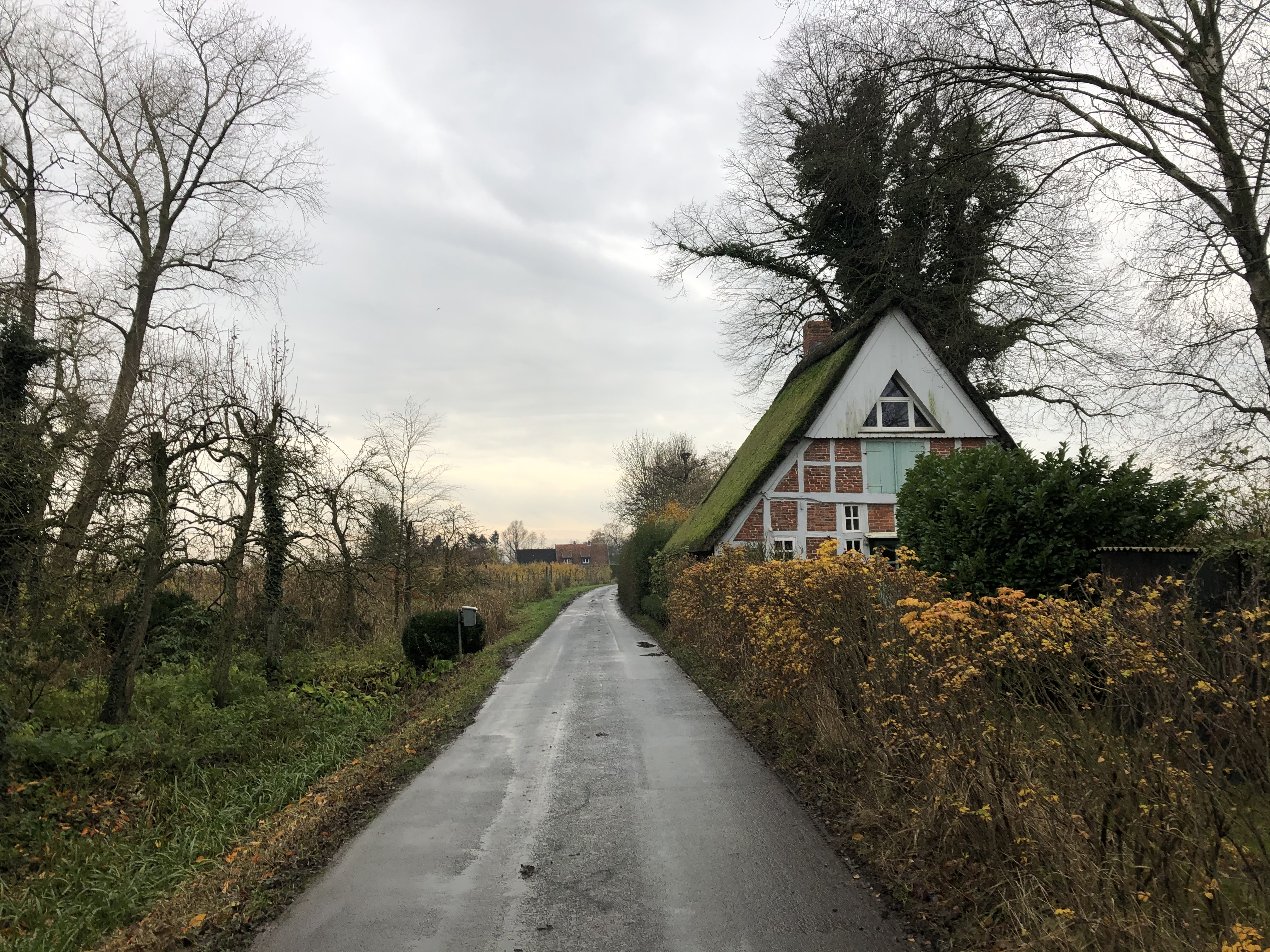
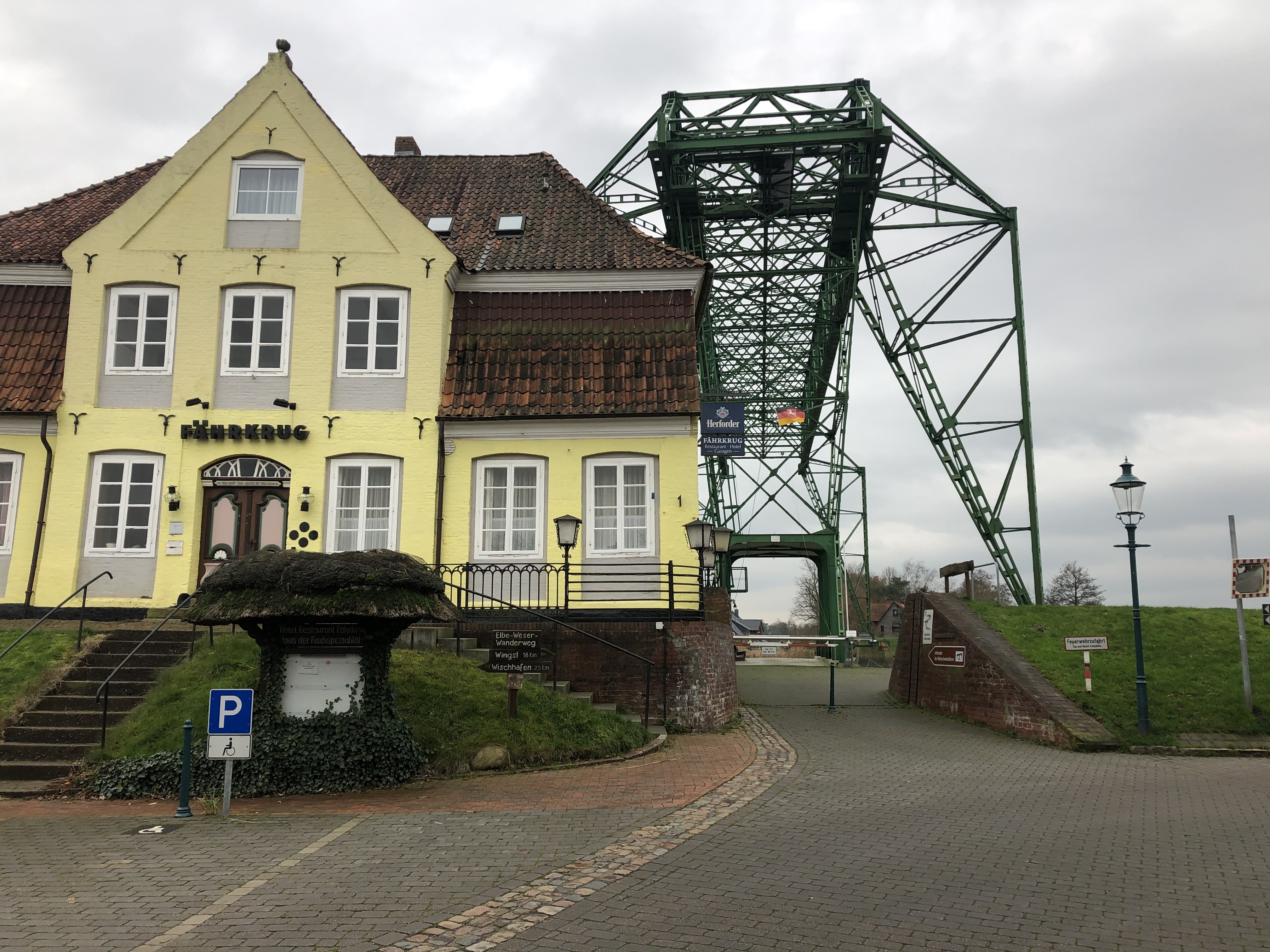
Walked though apple orchard country all day. The region prides themselves on the locally produced fruit and we came across little farmhouse stores every now and then. Got some beautiful apples for a snack—a really nice treat! Tonight we are camped in the fog on the banks of the big river Elbe.
Day 153: Drochtersen
Distance: 30 km (3287 km total). Weather: overcast
After another day of pretty much following the river Elbe, it kind of feels like we are still trying to leave Hamburg?! It felt endless! We finally turned inland towards the end of the day, meeting up with the E9 European long distance path towards Amsterdam. Still walking through apple country so we are camped up in another orchard tonight. Harvest is all dine so it is pretty quiet.
Day 154: Mittelstenahe
Distance: 31 km (3318 km total). Weather: overcast, some light drizzle
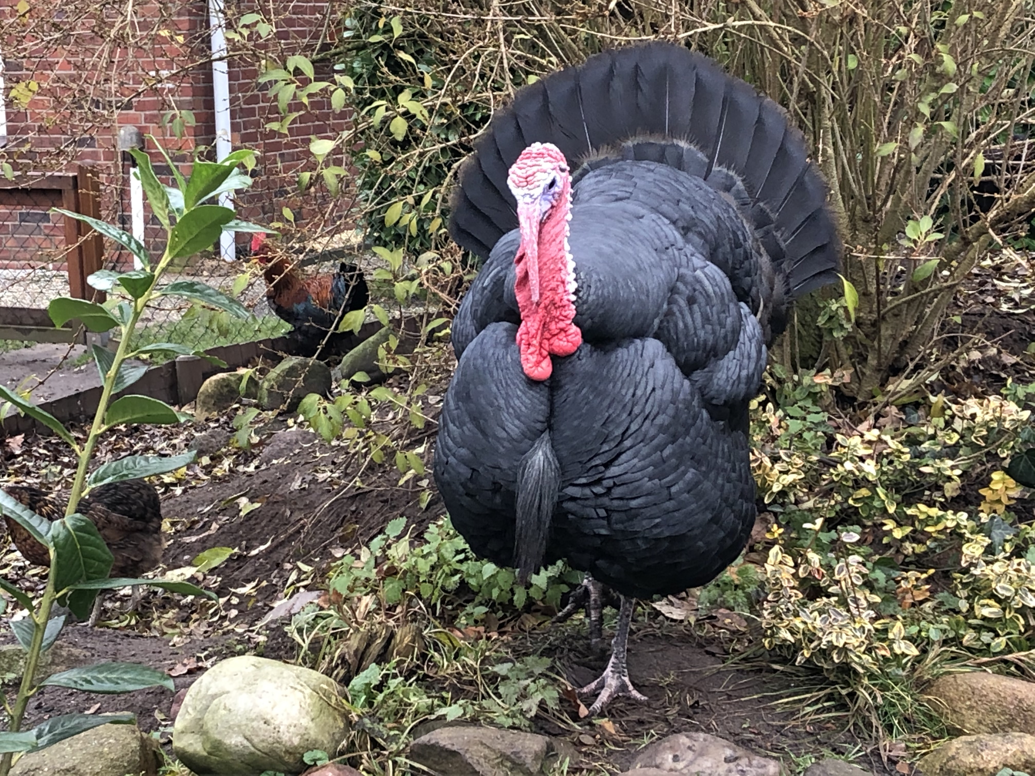
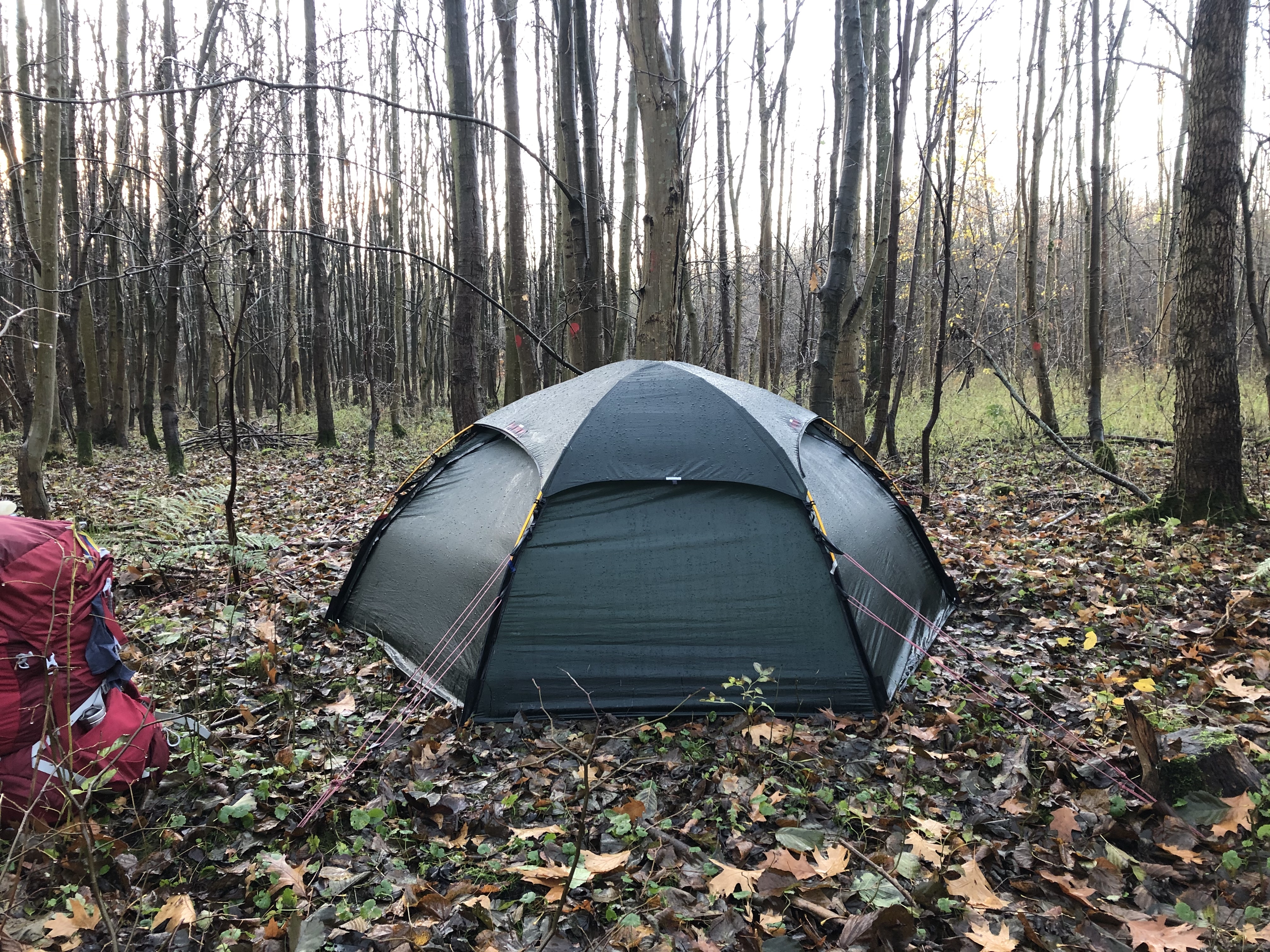
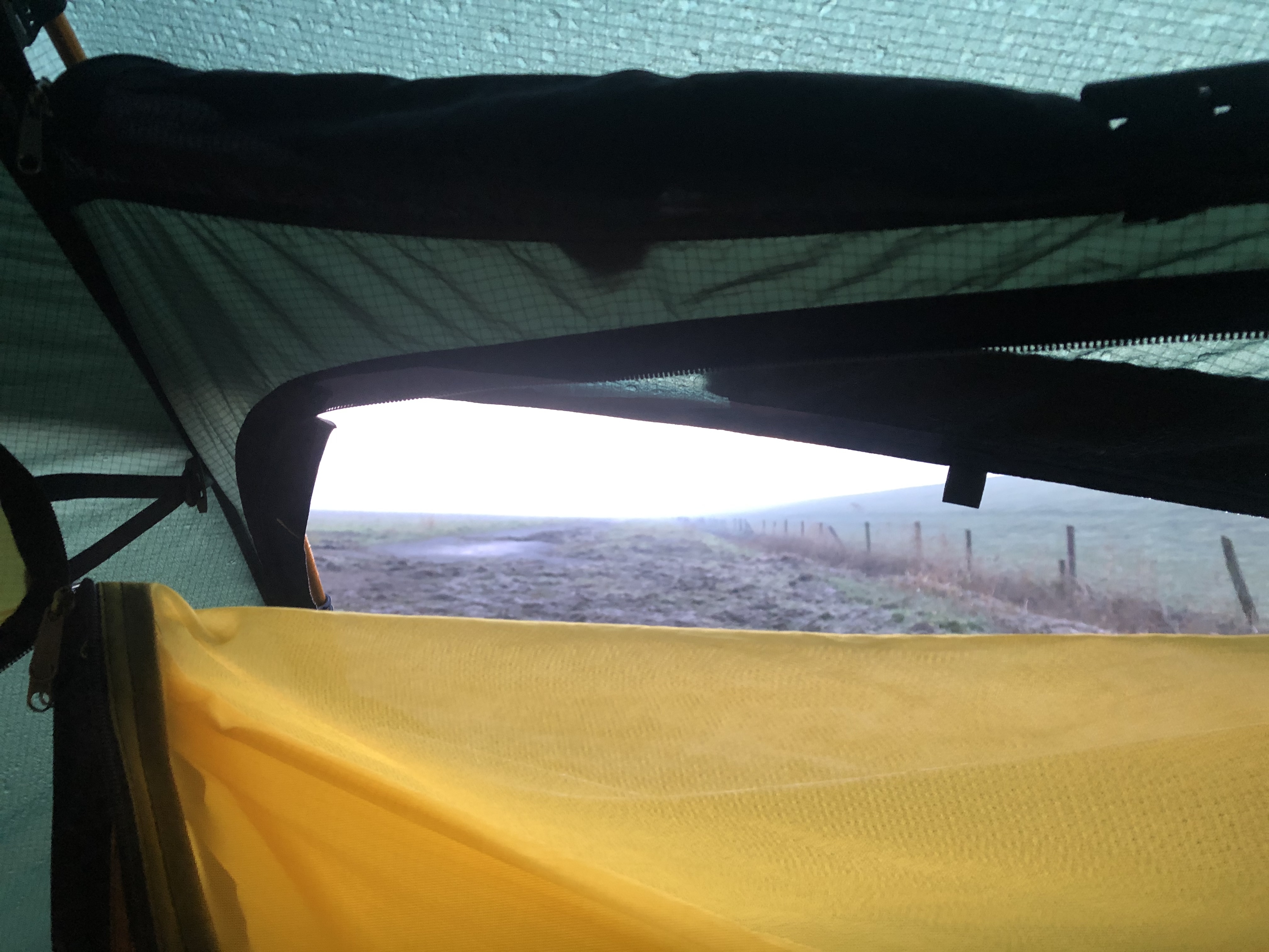
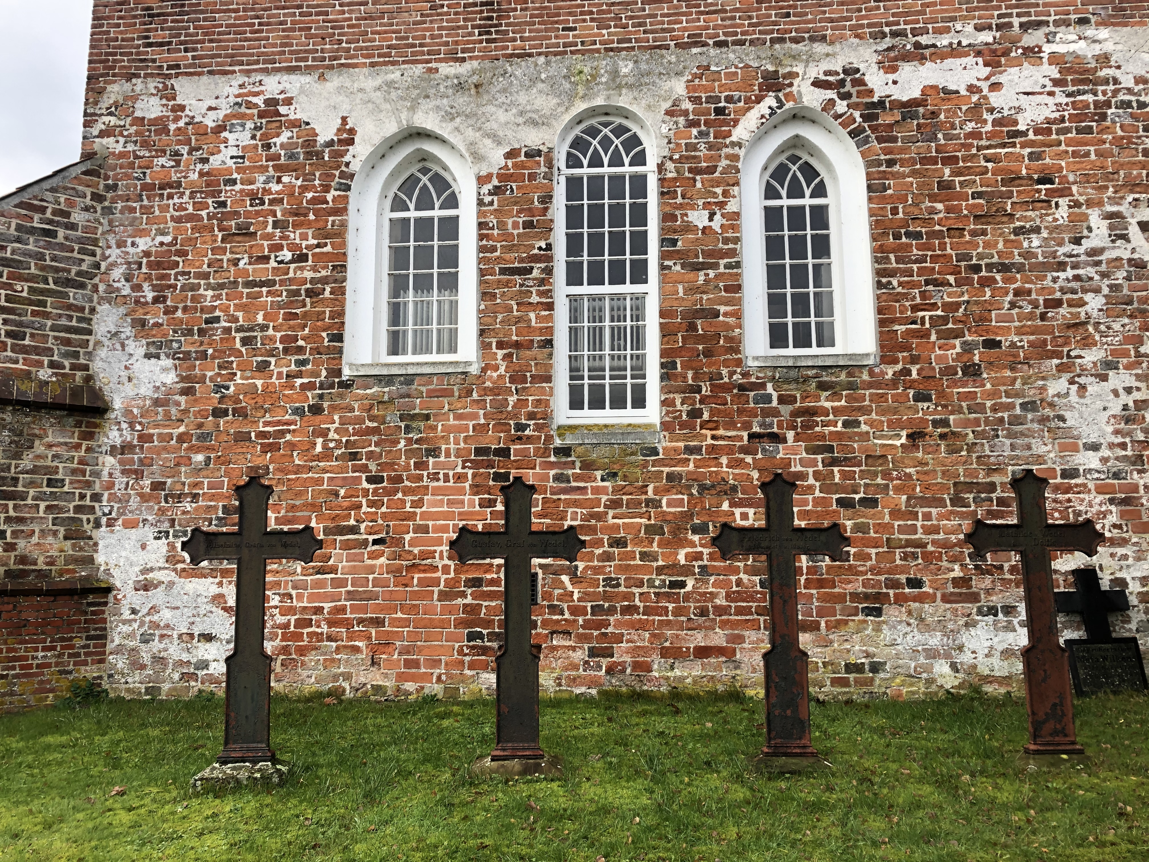
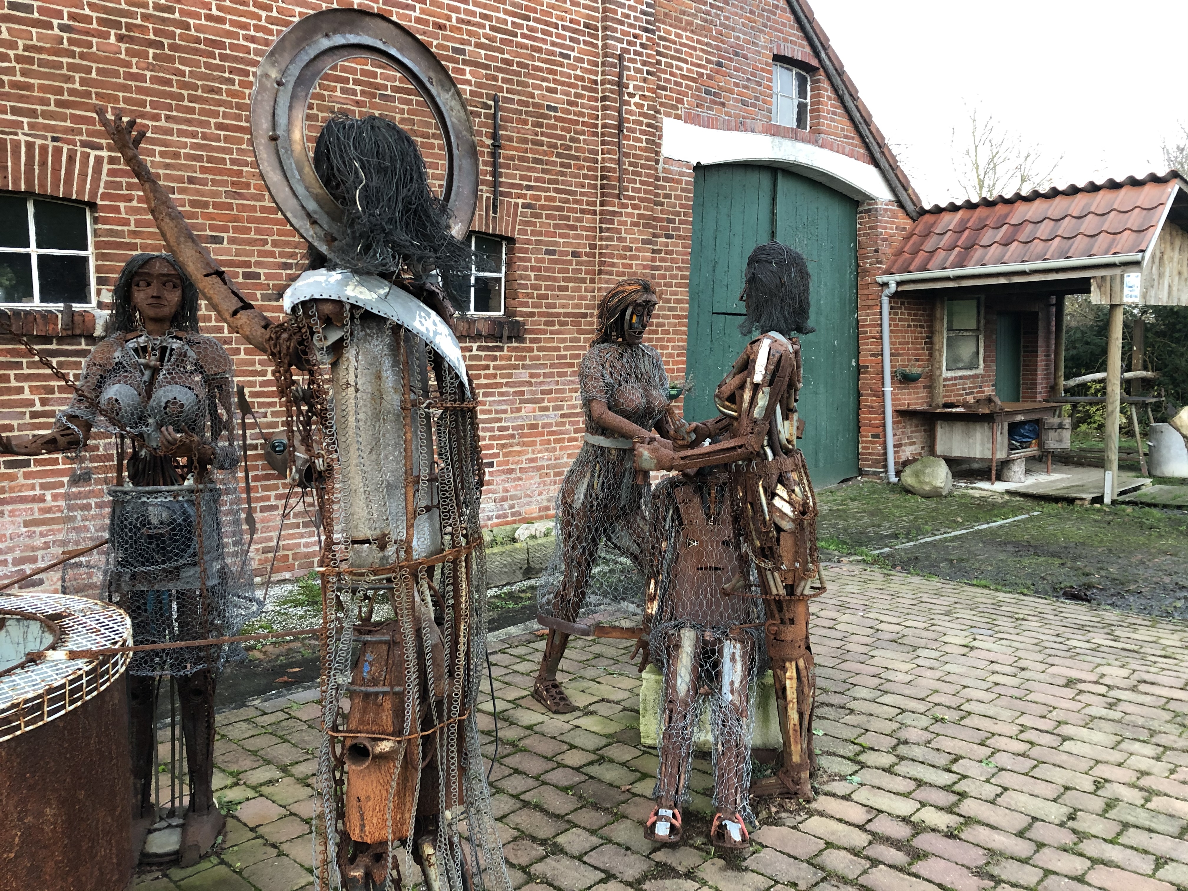
Continuing south west through the farm country. As we walked past the old church (from 1745) in Osten we were invited in for a personal tour by the town historian. We are not all that into churches, per se, but history is very cool so this was a very nice chance meeting. Struggled a bit to find a stealthy camp spot since we are walking through endless fields with very little cover at the moment. But we did alright in the end.
Day 155: Geestland
Distance: 23 km (3341 km total). Weather: rain
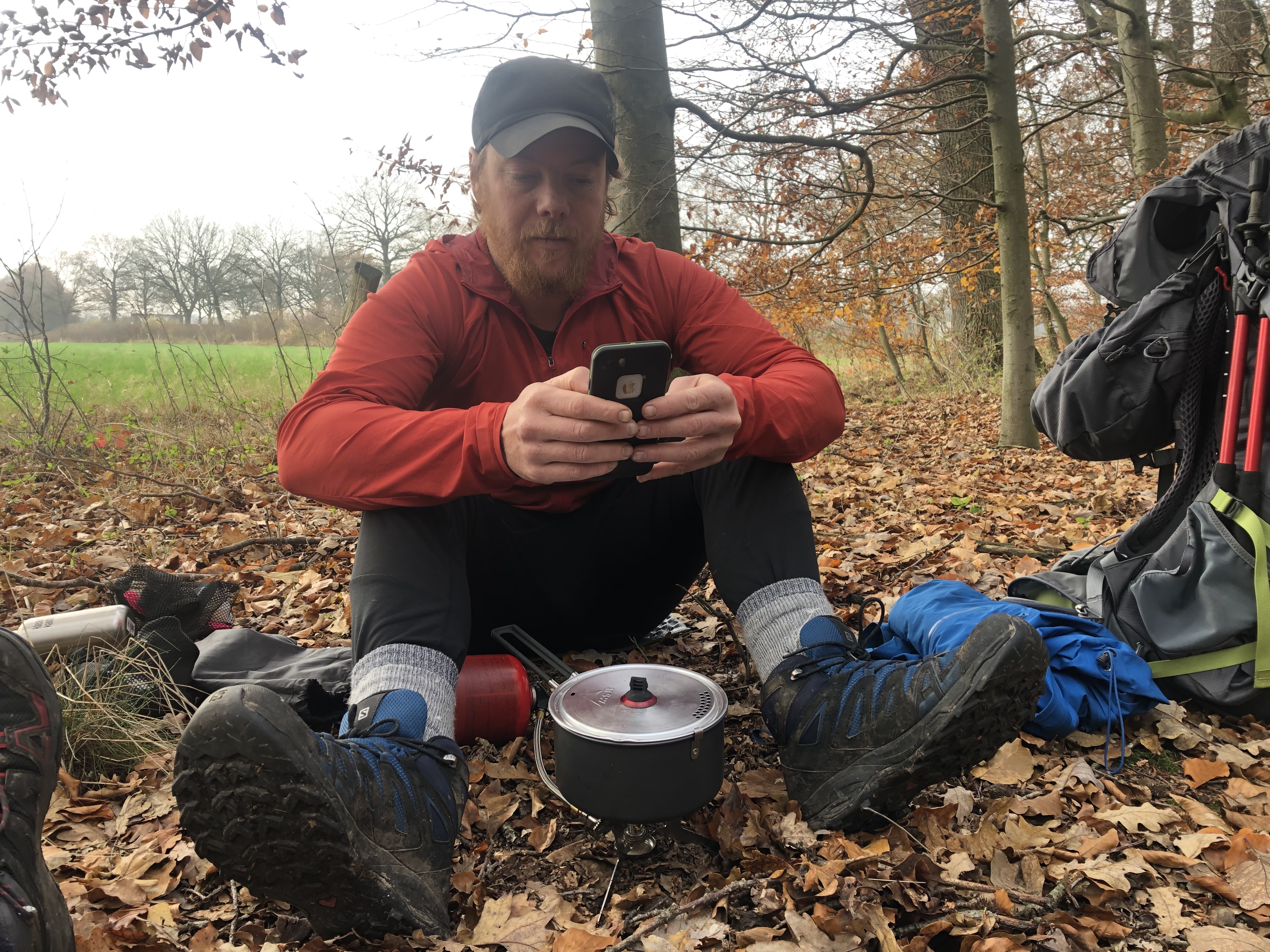
Rained pretty hard all night and it kept raining all day! We ducked into a café just after lunch to warm up and charge our phones a bit. We ended up staying for quite a while. We did not need to push big day in the rain with another big town coming up and we needed to camp up before we get to close anyway. Tomorrow’s forecast is looking much better.
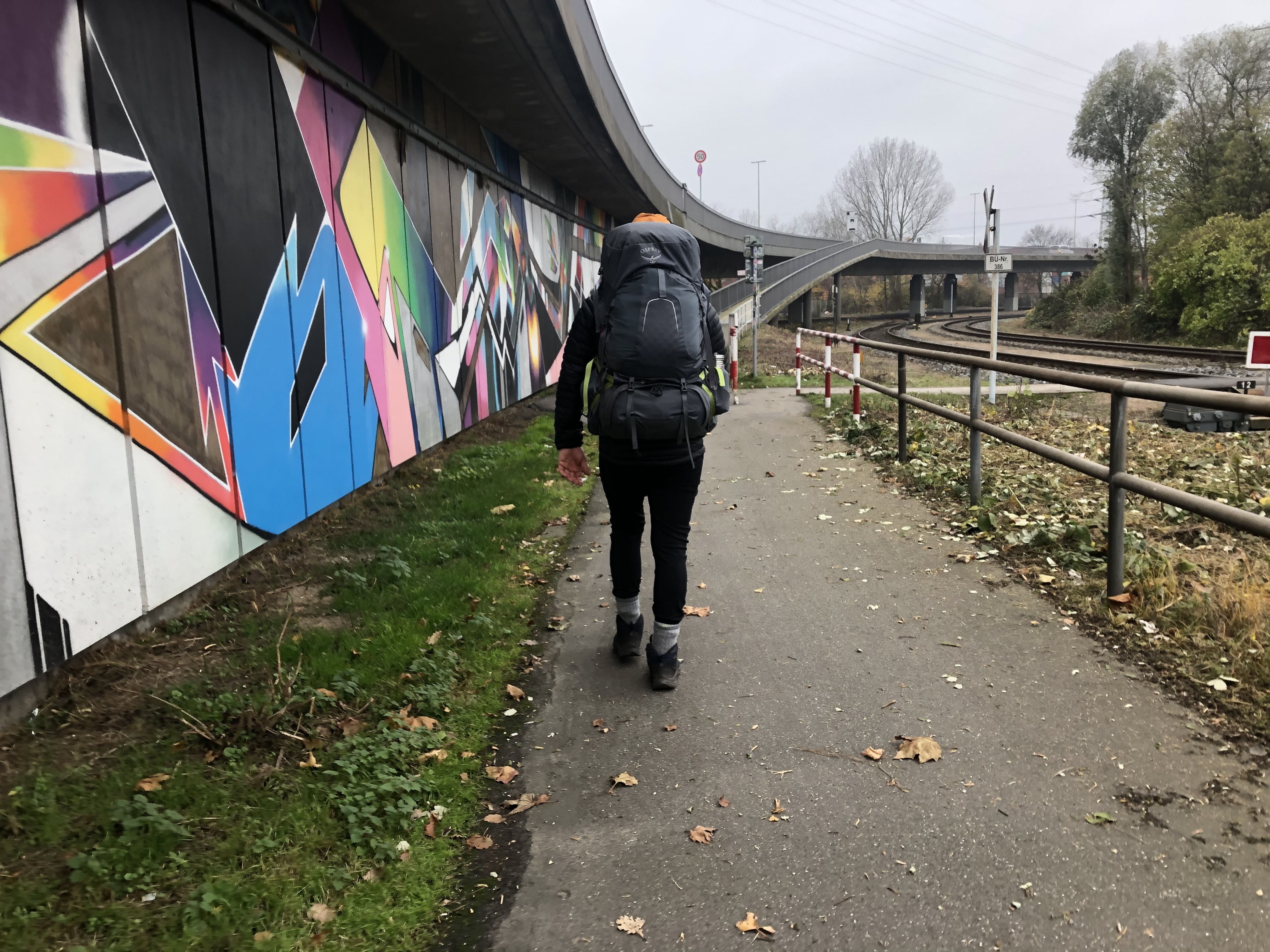
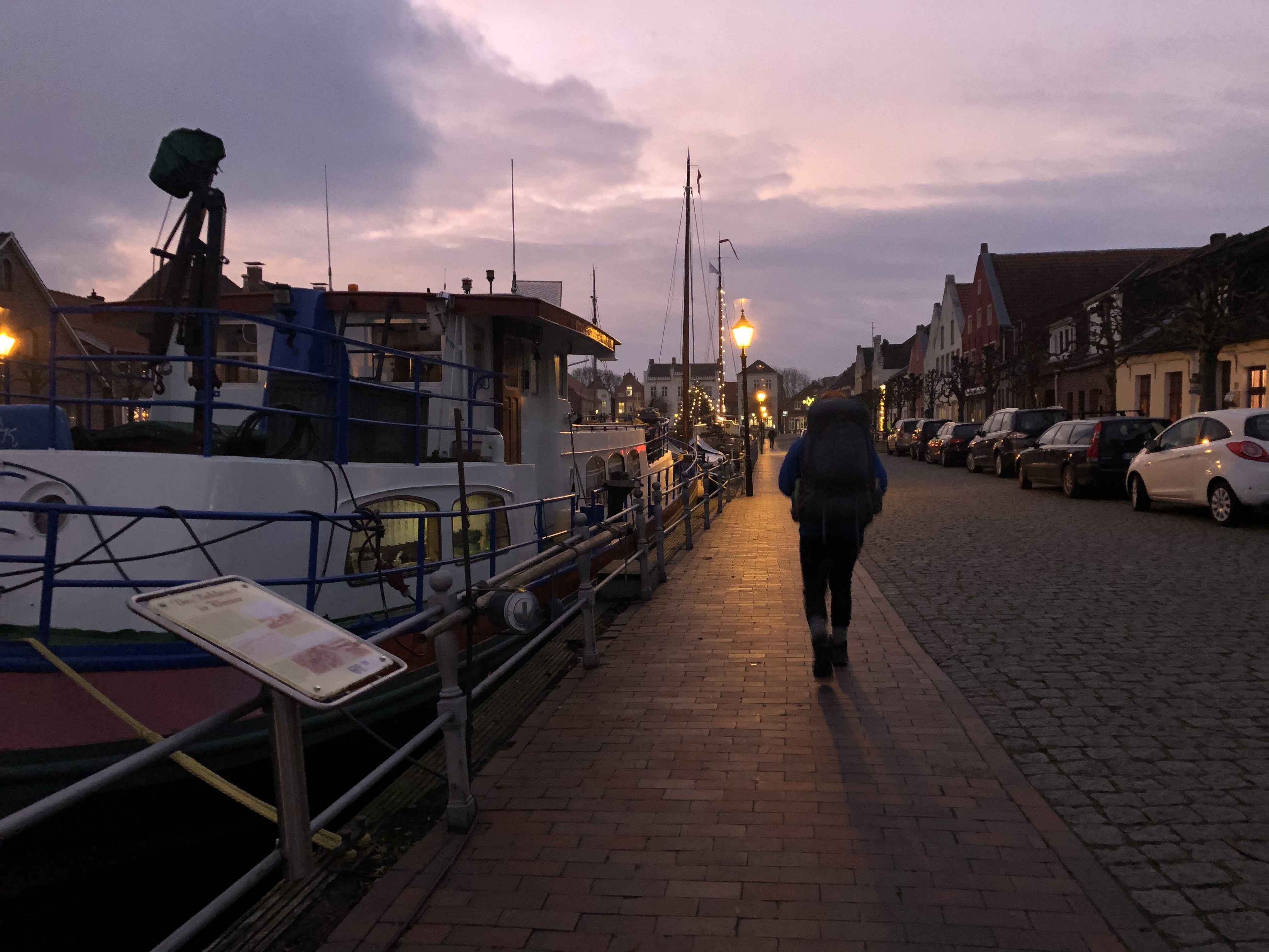
Day 156: Nordenham
Distance: 31 km (3372 km total). Weather: sun and some clouds
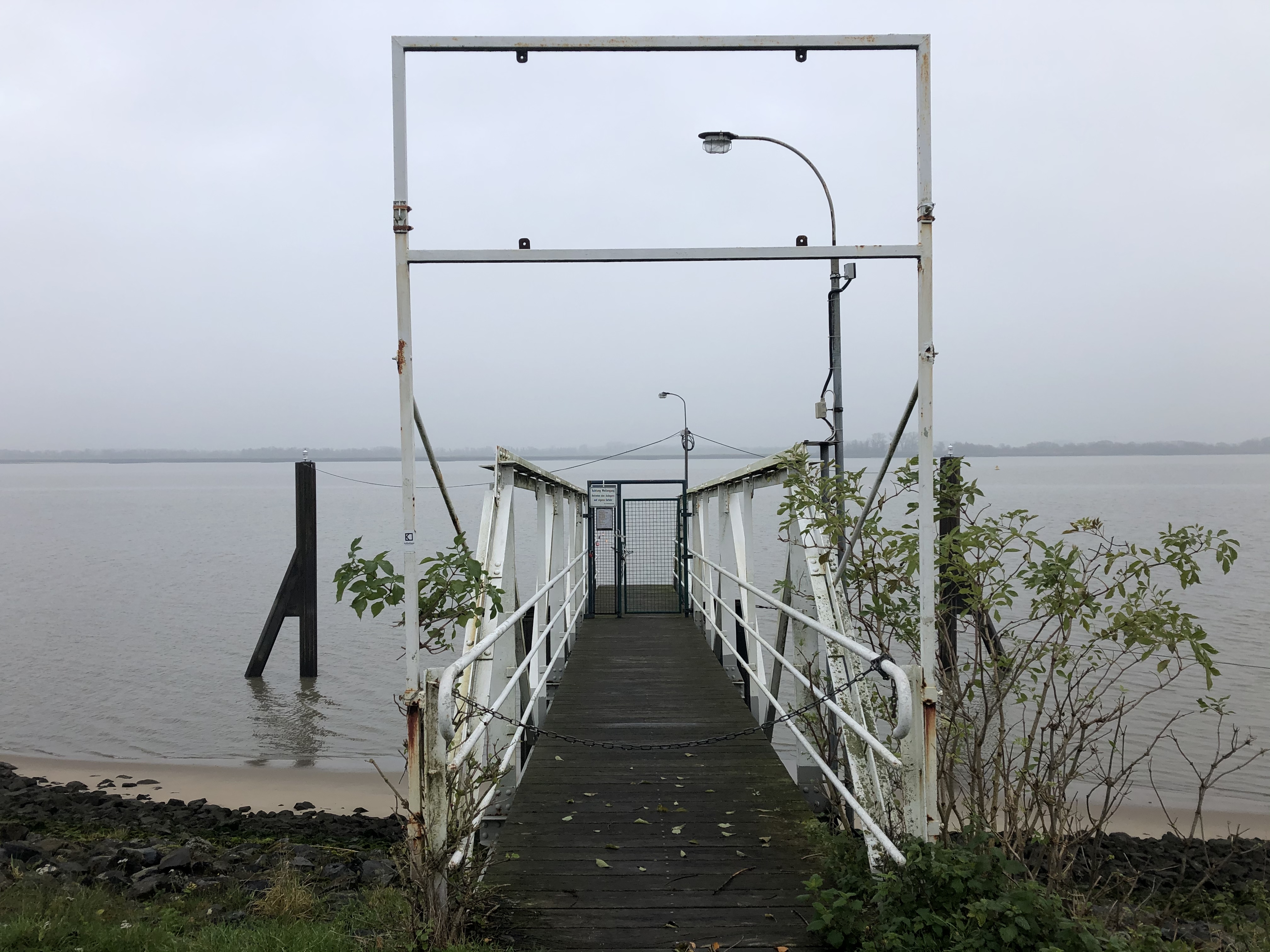
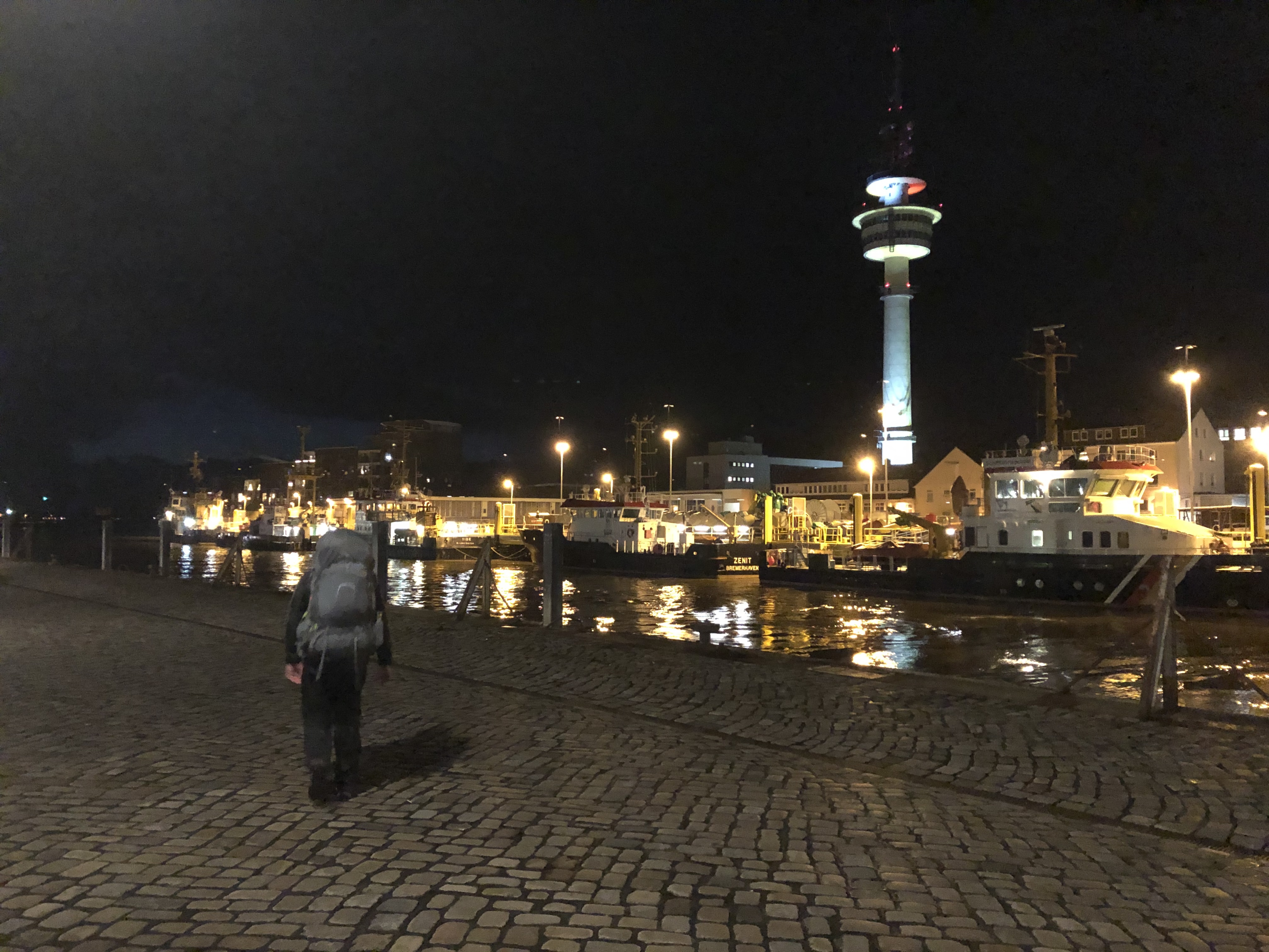
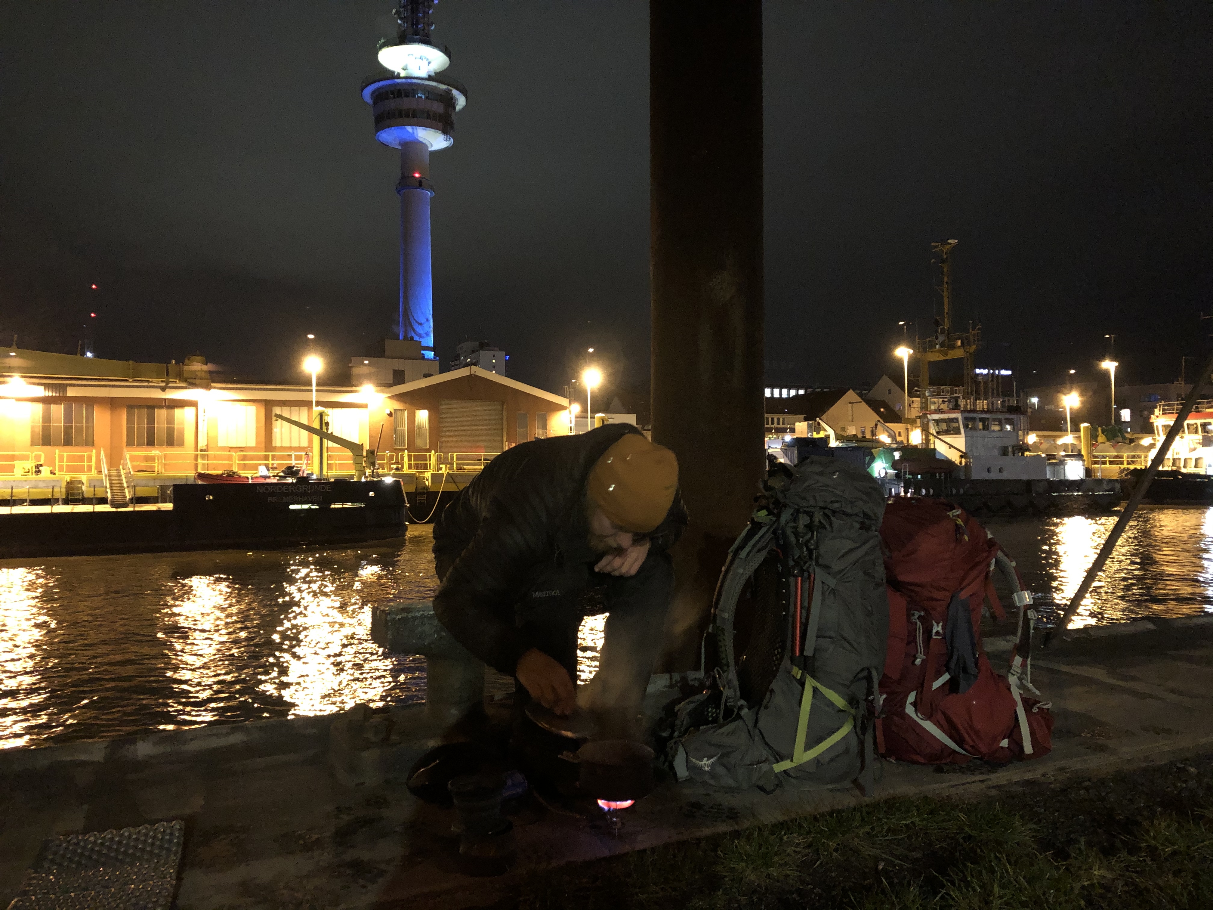
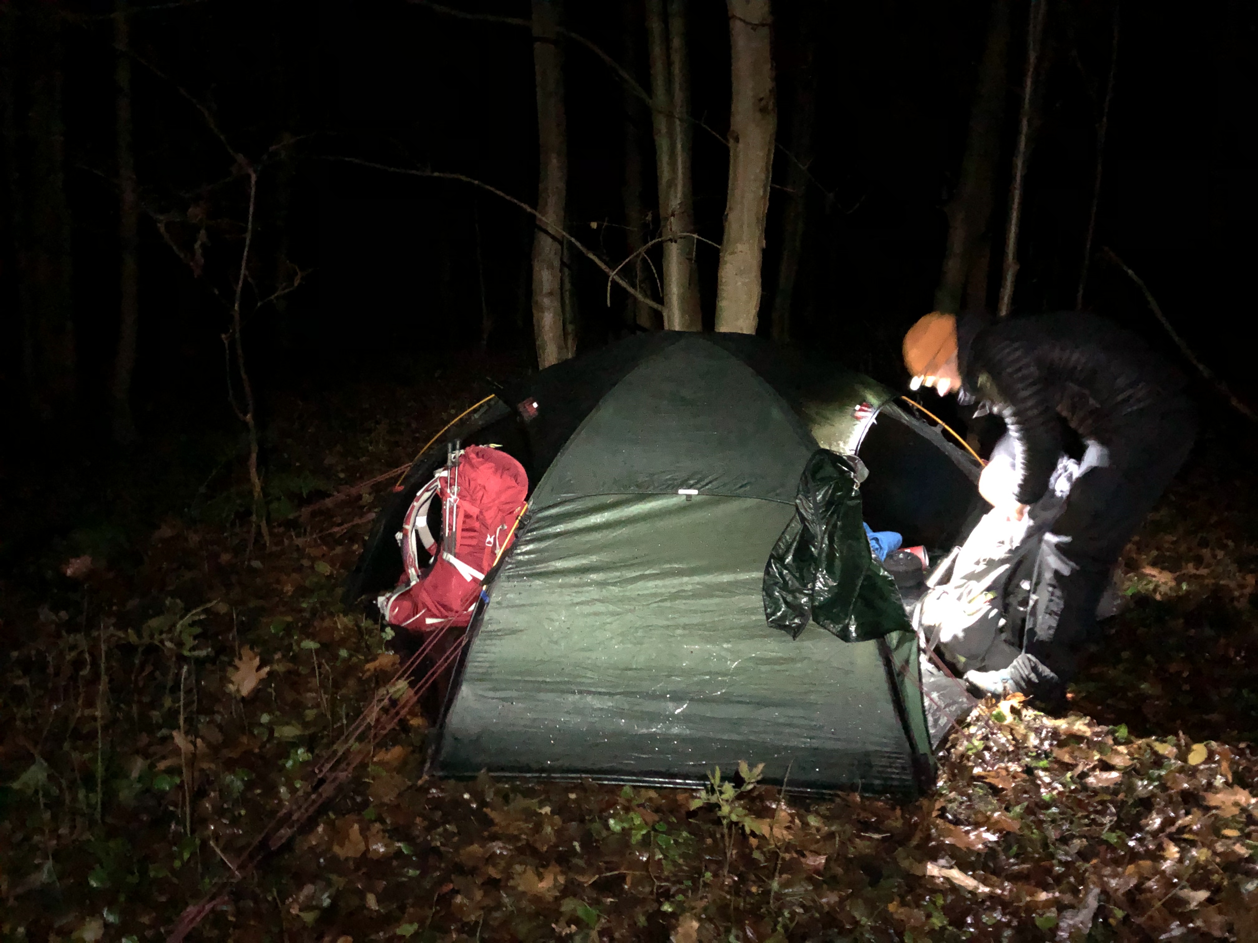
A bit of a late start to the day, but nice. We actually saw the sun today! We walked through Bremerhaven, caught the ferry across the harbor then continued on. Stealthing it in a small woodland park in a residential area in Nordenham. Hoping there won’t be too many early riser dog walkers in the morning…
Day 157: Diekmannshausen
Distance: 30 km (3402 km total). Weather: sun and some clouds
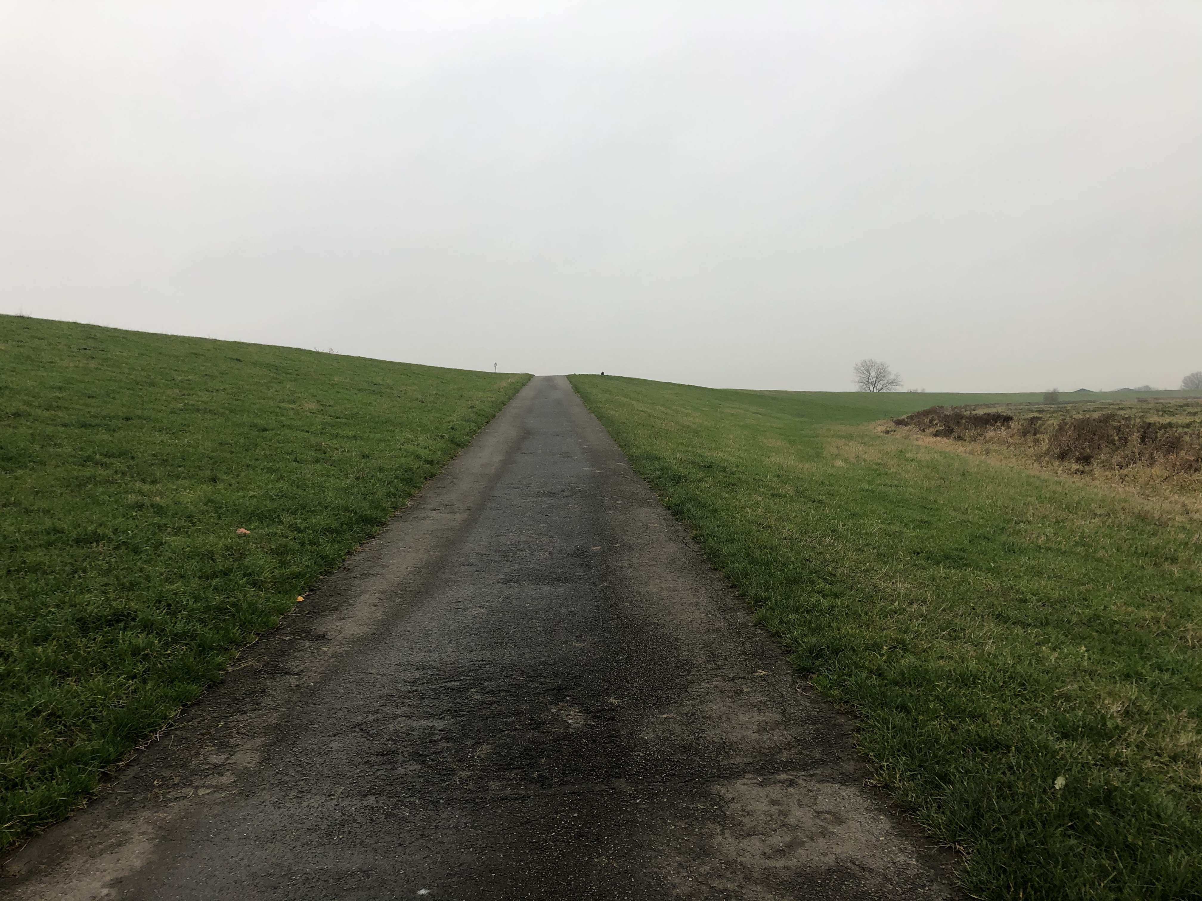
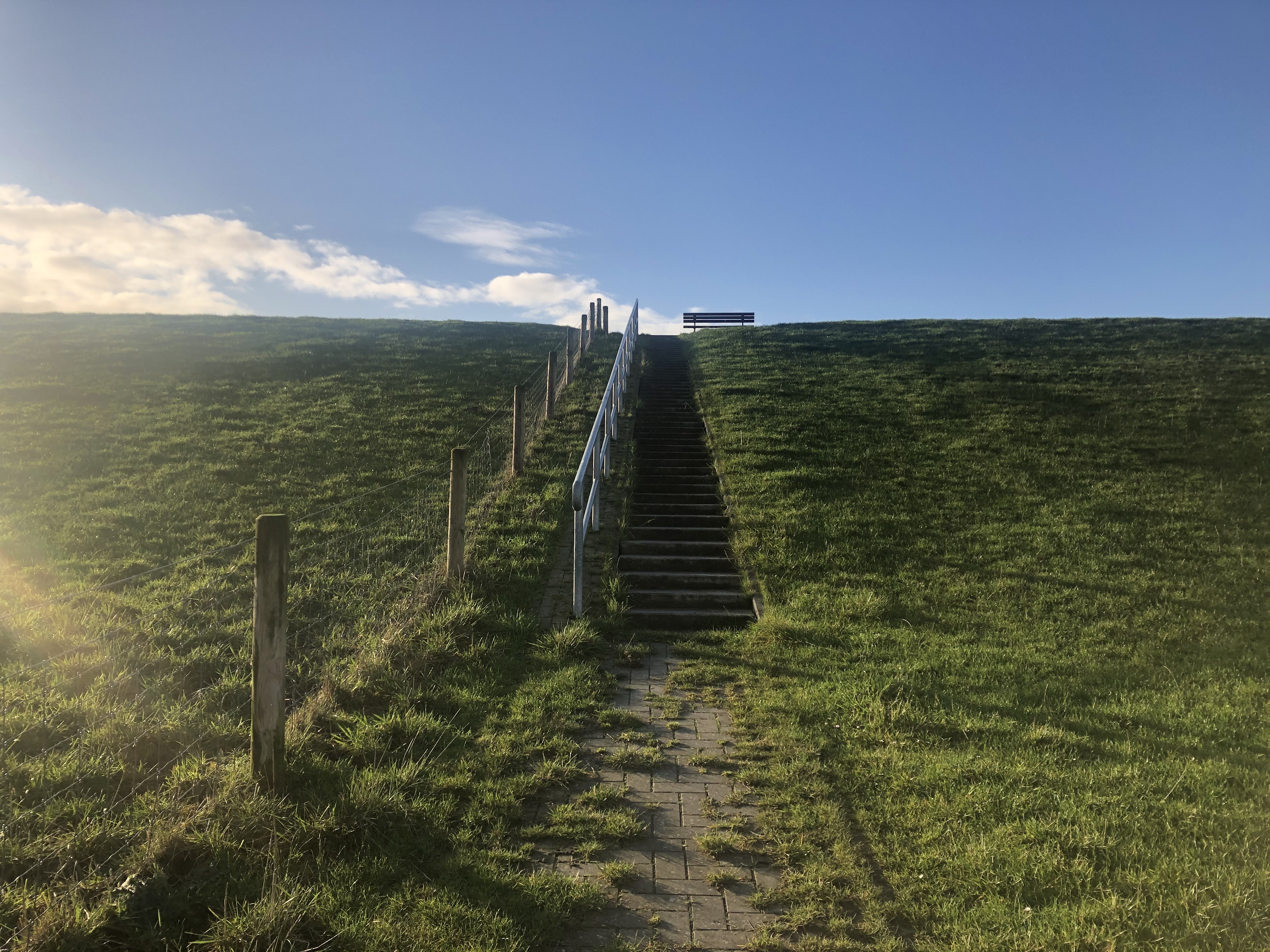
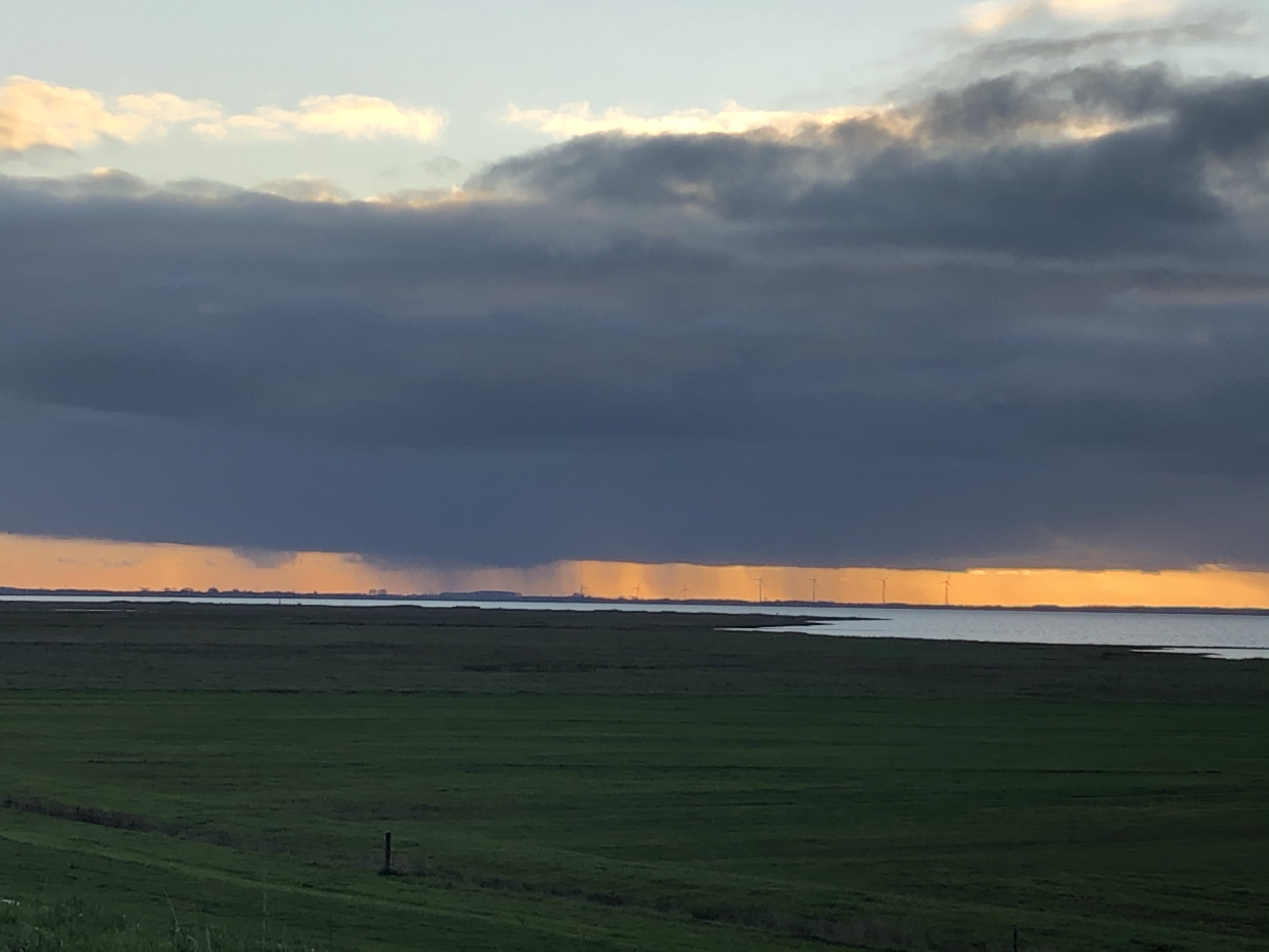
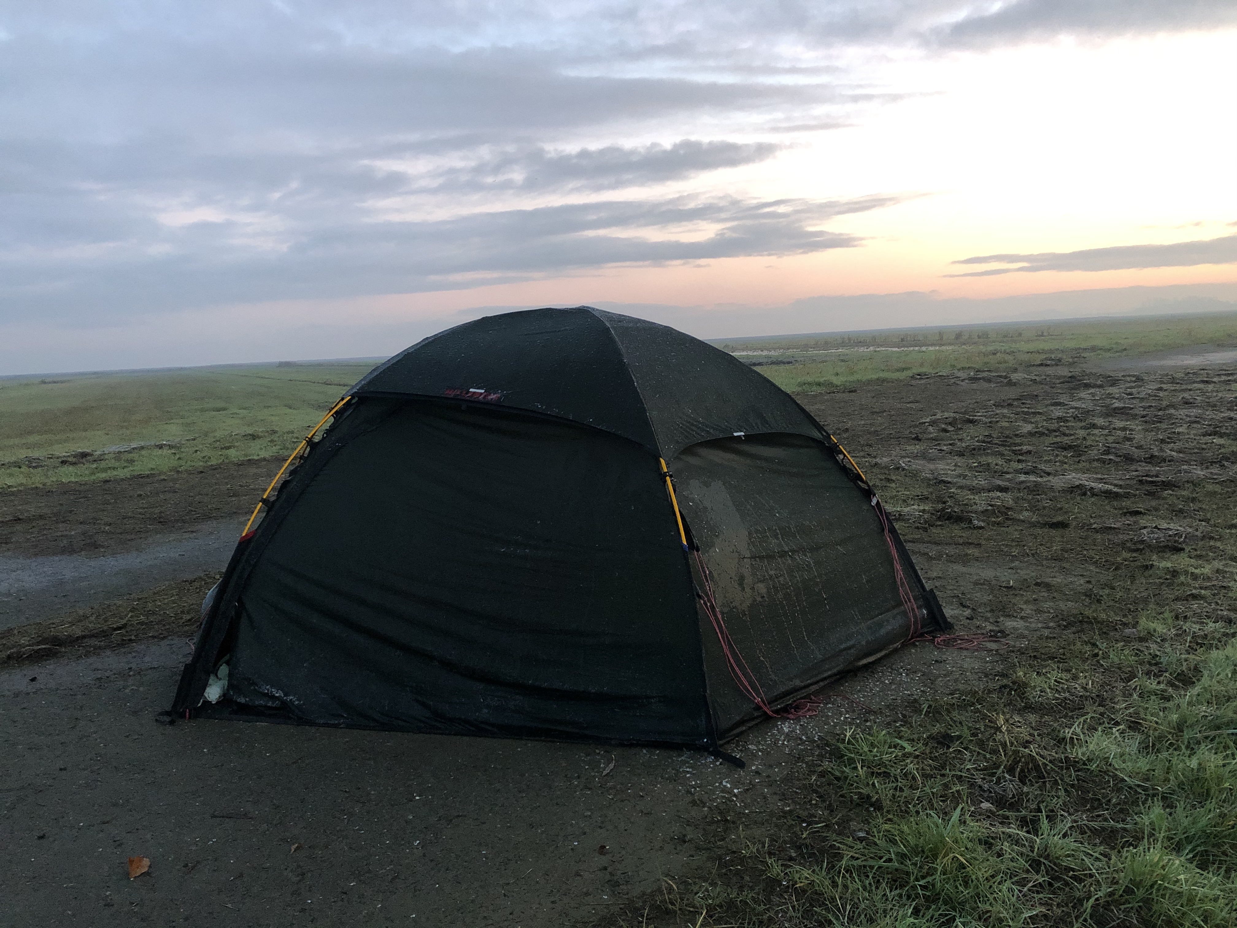
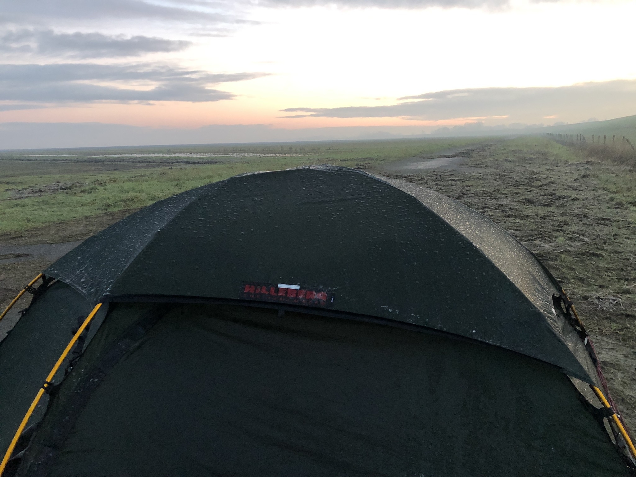
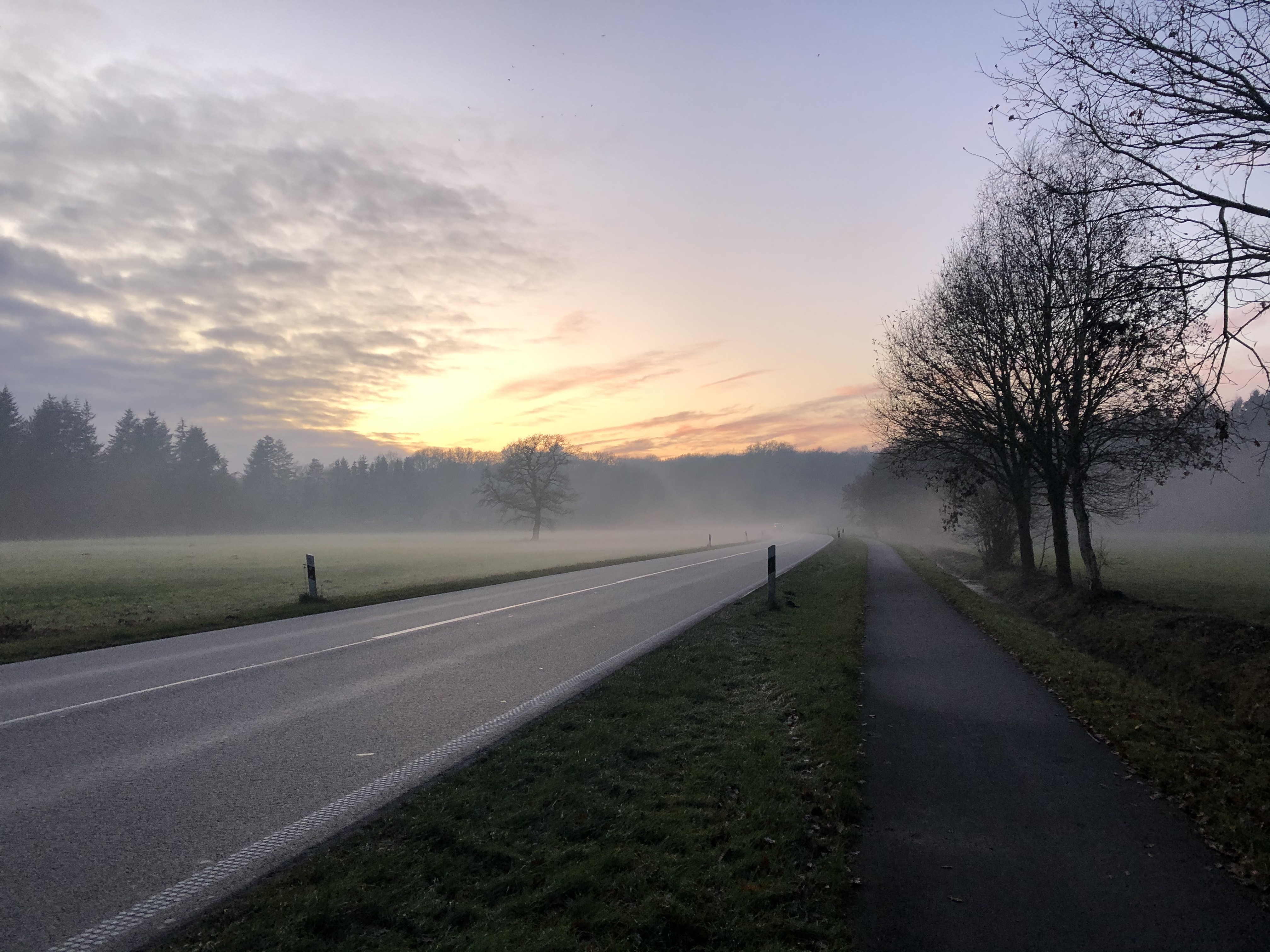
A beautiful day! Mostly sunny for once, but with the clear skies also quite cold. We started following the coastline today and we are camped up on the flood bank protecting the farms from flooding.
Day 158: Ruttelerfeld
Distance: 28 km (3430 km total). Weather: overcast, foggy
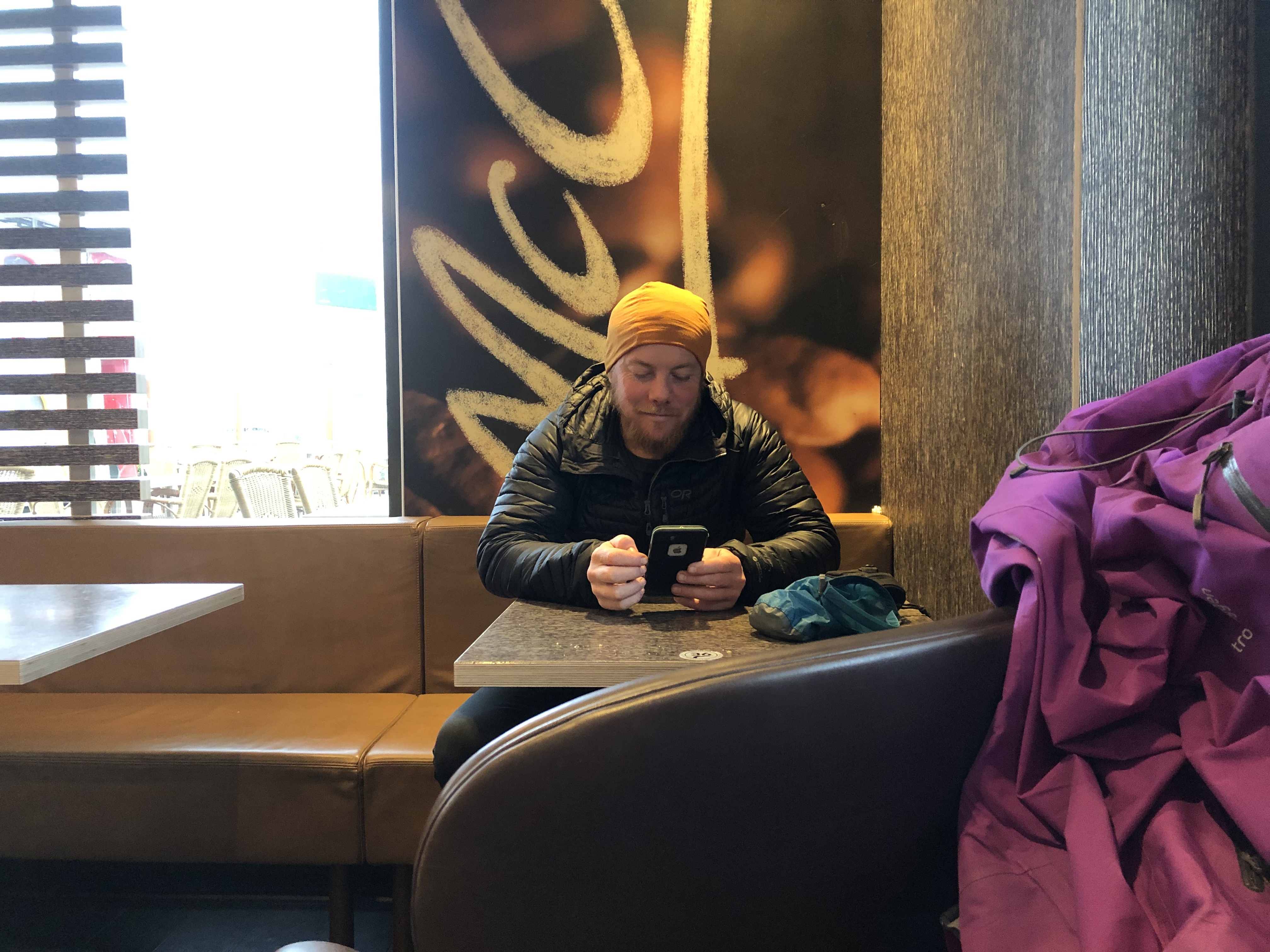
Another cold day. That wet, gets you to deep into the bone type cold… we ducked into Mc Donalds to charge gear and warm up for a couple of hours at lunch. Camped up in a field shrouded in thick fog. Hoping to dry our tent out one of theses days…
Day 159: Hesel
Distance: 26 km (3456 km total). Weather: sun, showers
Sun came out today! Yay! Although random freak rain showers throughout the day kept thinks interesting. Did a resupply and treated ourselves to some pizza! Sometimes the body is just screaming for calories and pizza always does the trick.
Day 160: Holthusen
Distance: 31 km (3486 km total). Weather: sun/overcast
Another day without rain! We’re in danger of getting spoiled! Walked through a Christmas market in Leer and the old town of Weener was a charming surprise at the end of the day.
Day 161: Bad Nieuweschans (border)
Distance: 13 (3538 km total). Weather: sun/overcast
We crossed over into the Netherlands today! Camped up 26 km further in from the border at Noordbroek.


Leave A Comment