
Walking the world
- Norway/Finland: Kautokeino-Kilpisjarvi
- 13 – 20 July, 2019
- 195 km (534 km in total)
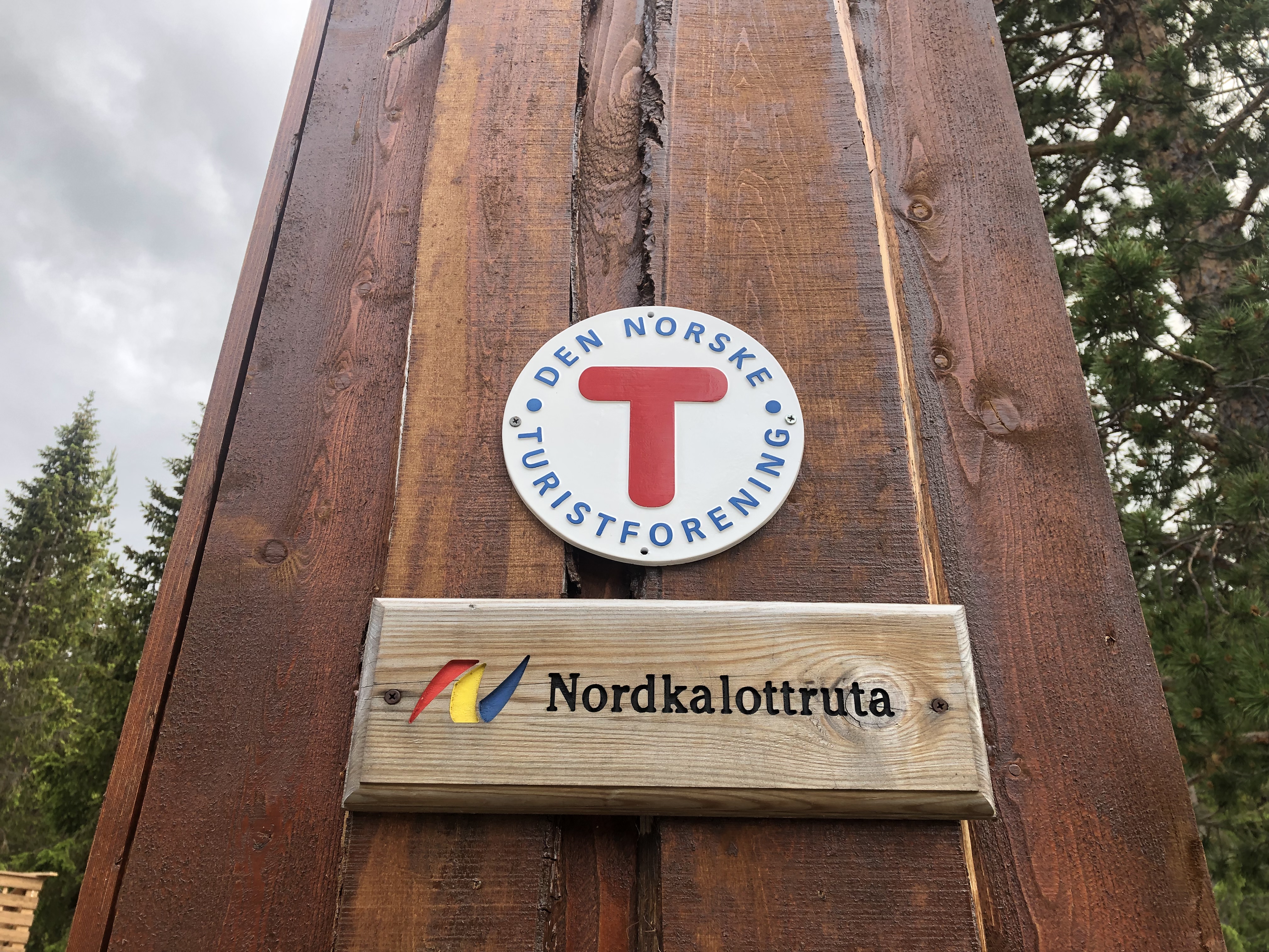
- E1 European long distance path: Scandinavia
Trail description
Terrain
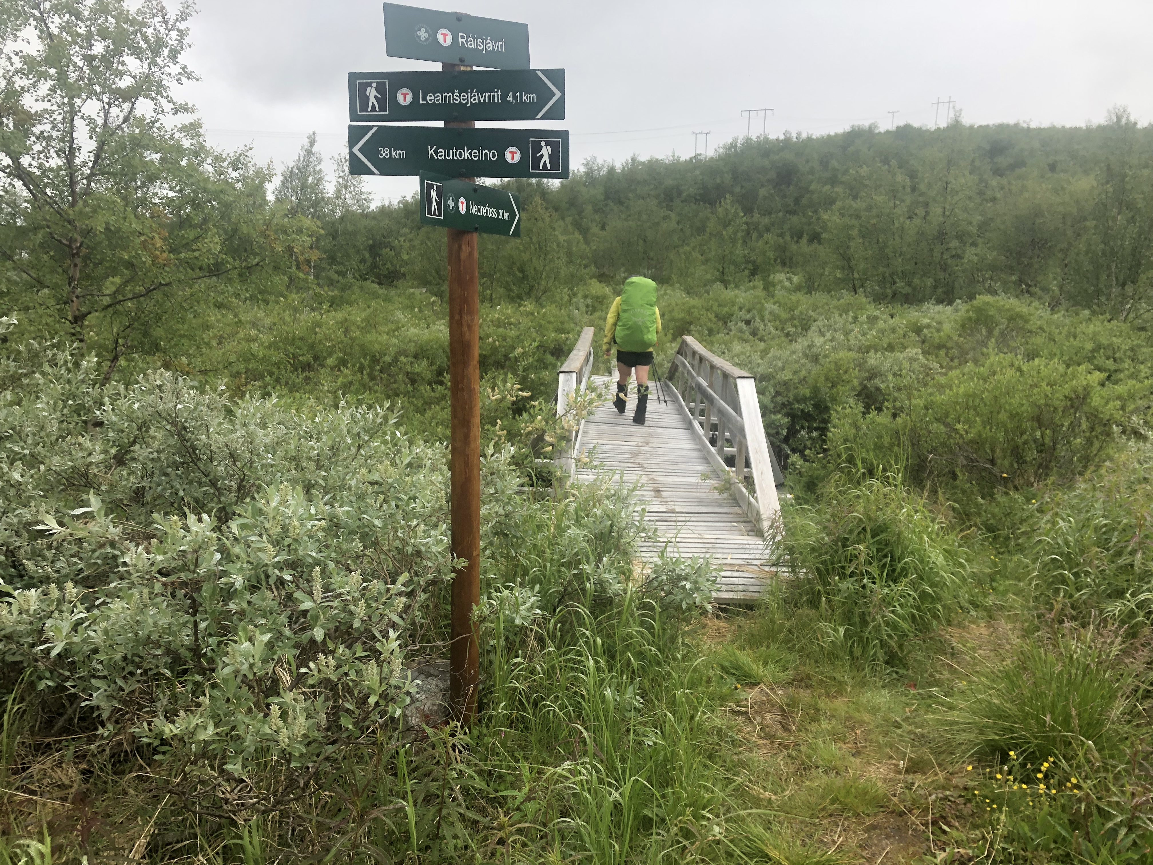
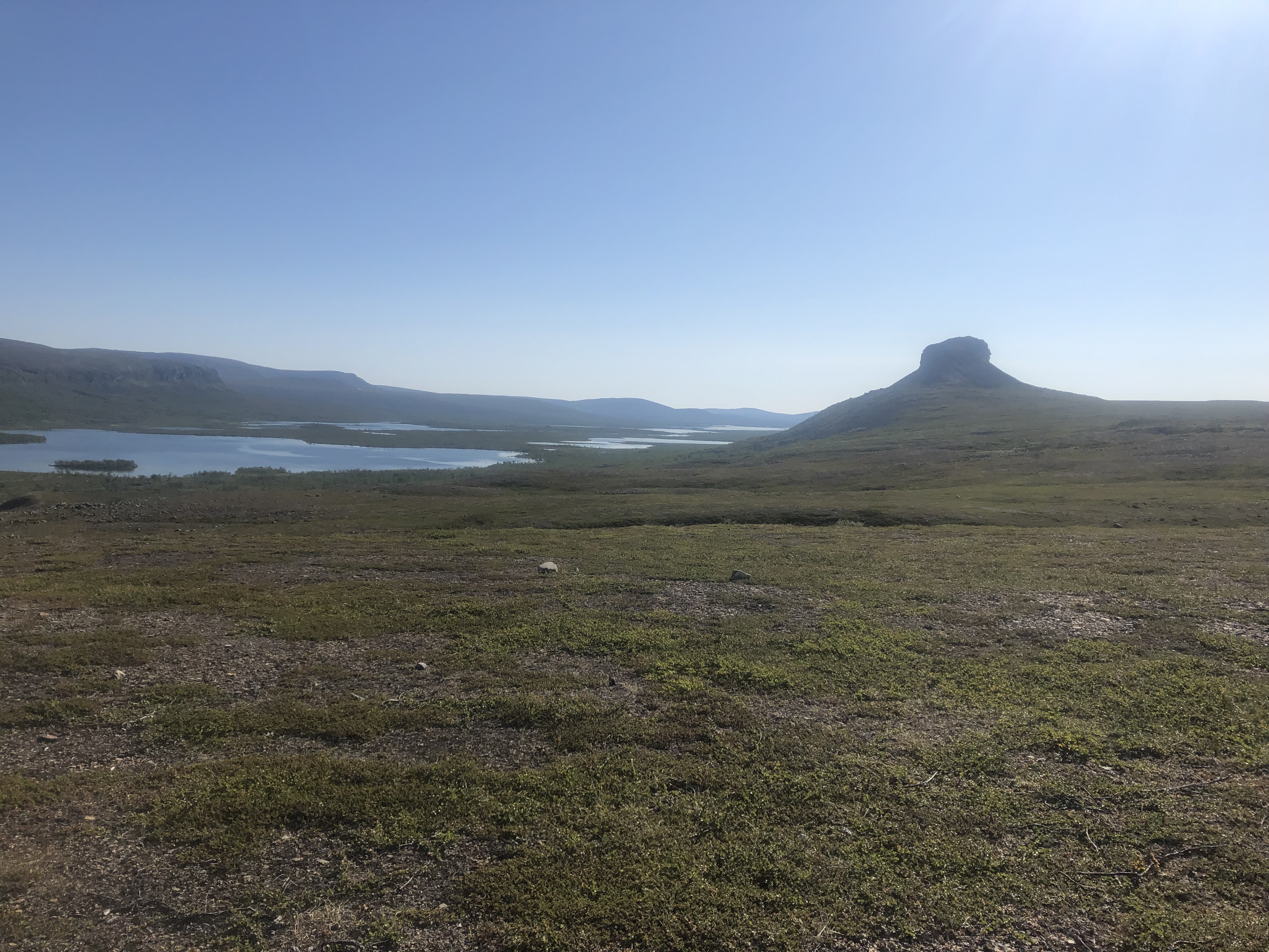
Walking out of Kautokeino you enter into a long wetlands section. After 10km we bailed for higher ground where we found dryer ground and fewer mosquitoes.
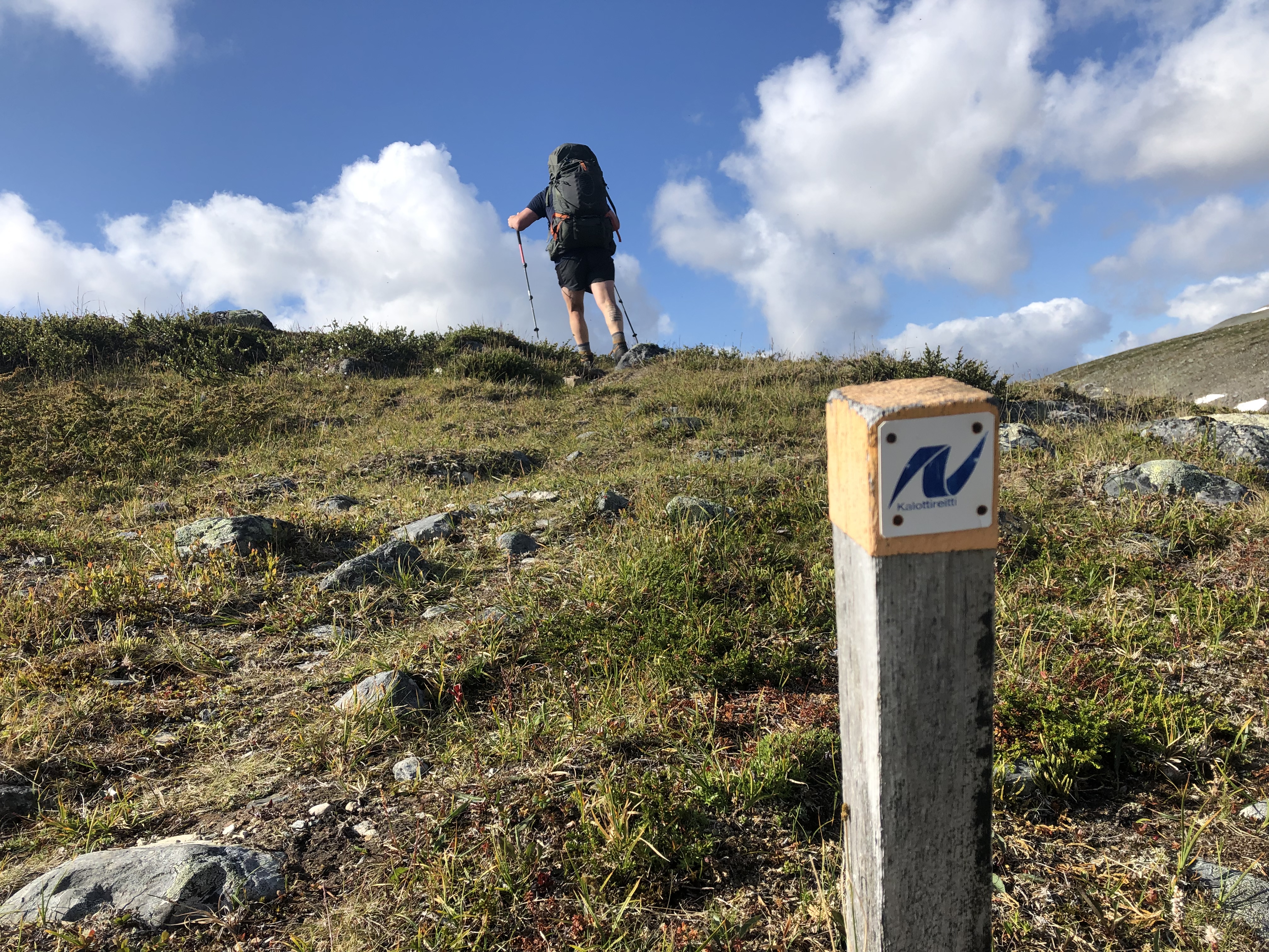
We followed our higher route across the ridges, saying goodbye to the bog and wet marshes. Instead, we welcomed the higher rolling hills, scattered with birch and slow-flowing rivers before meeting back up with the trail again.
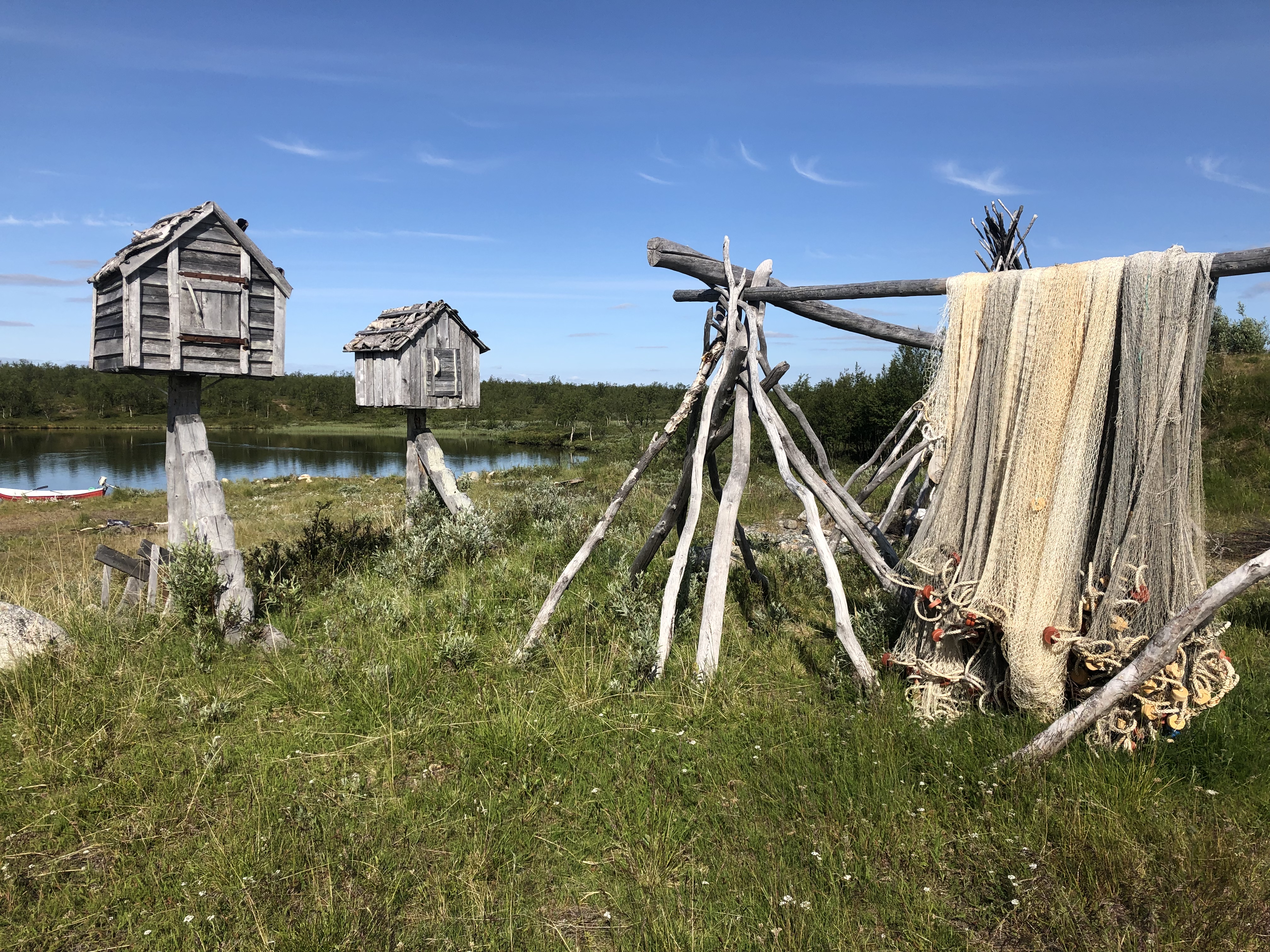
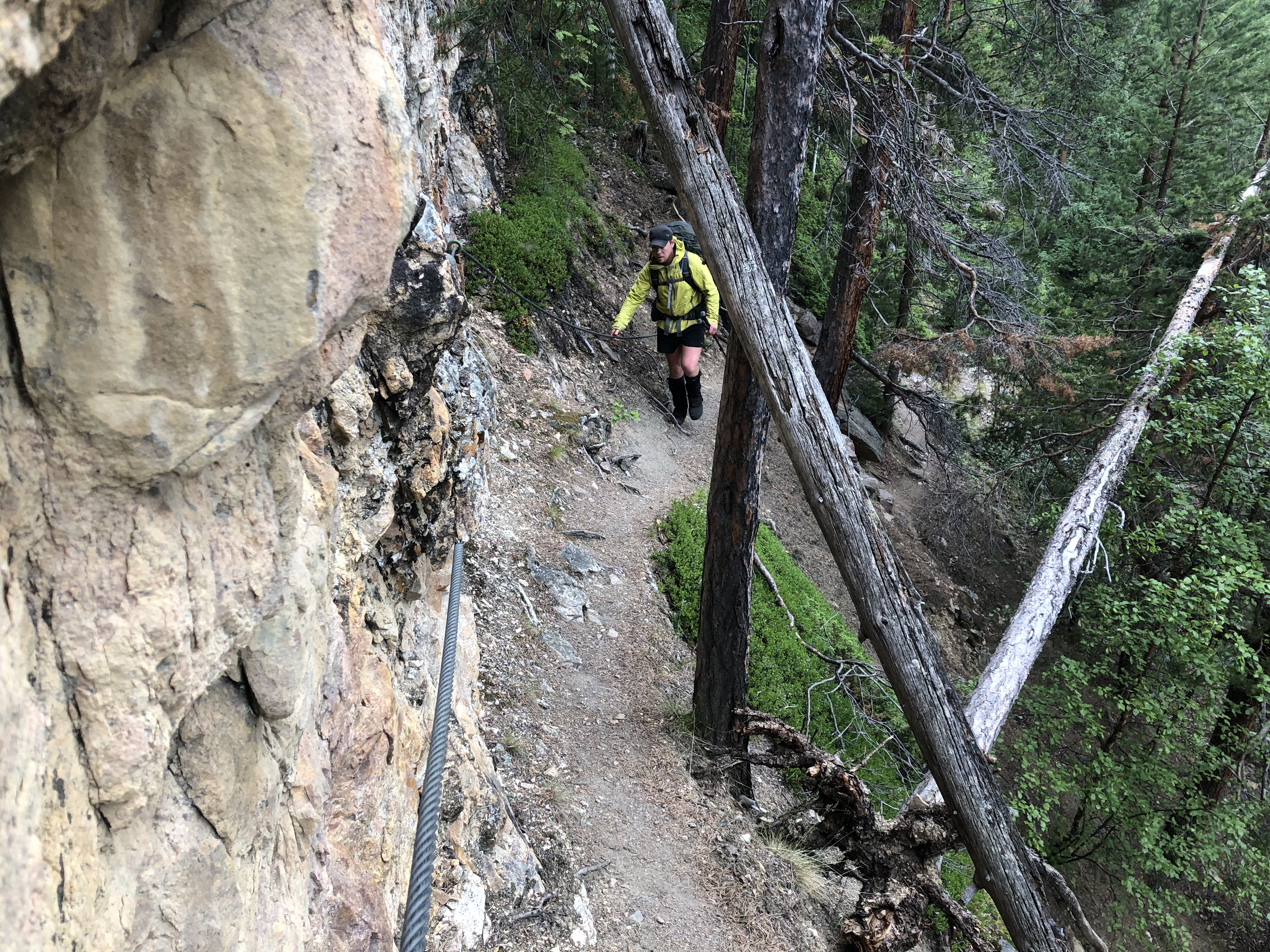
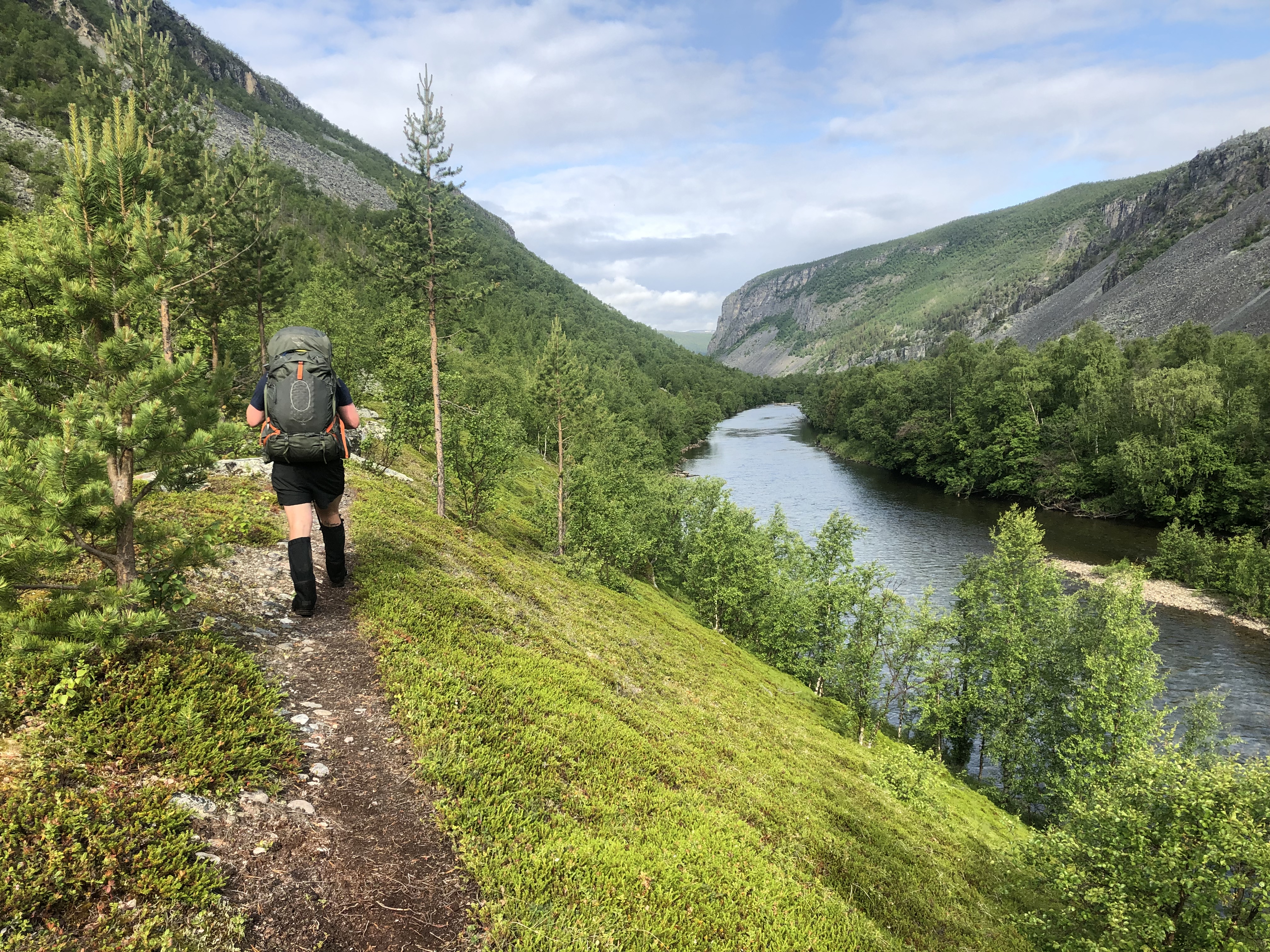
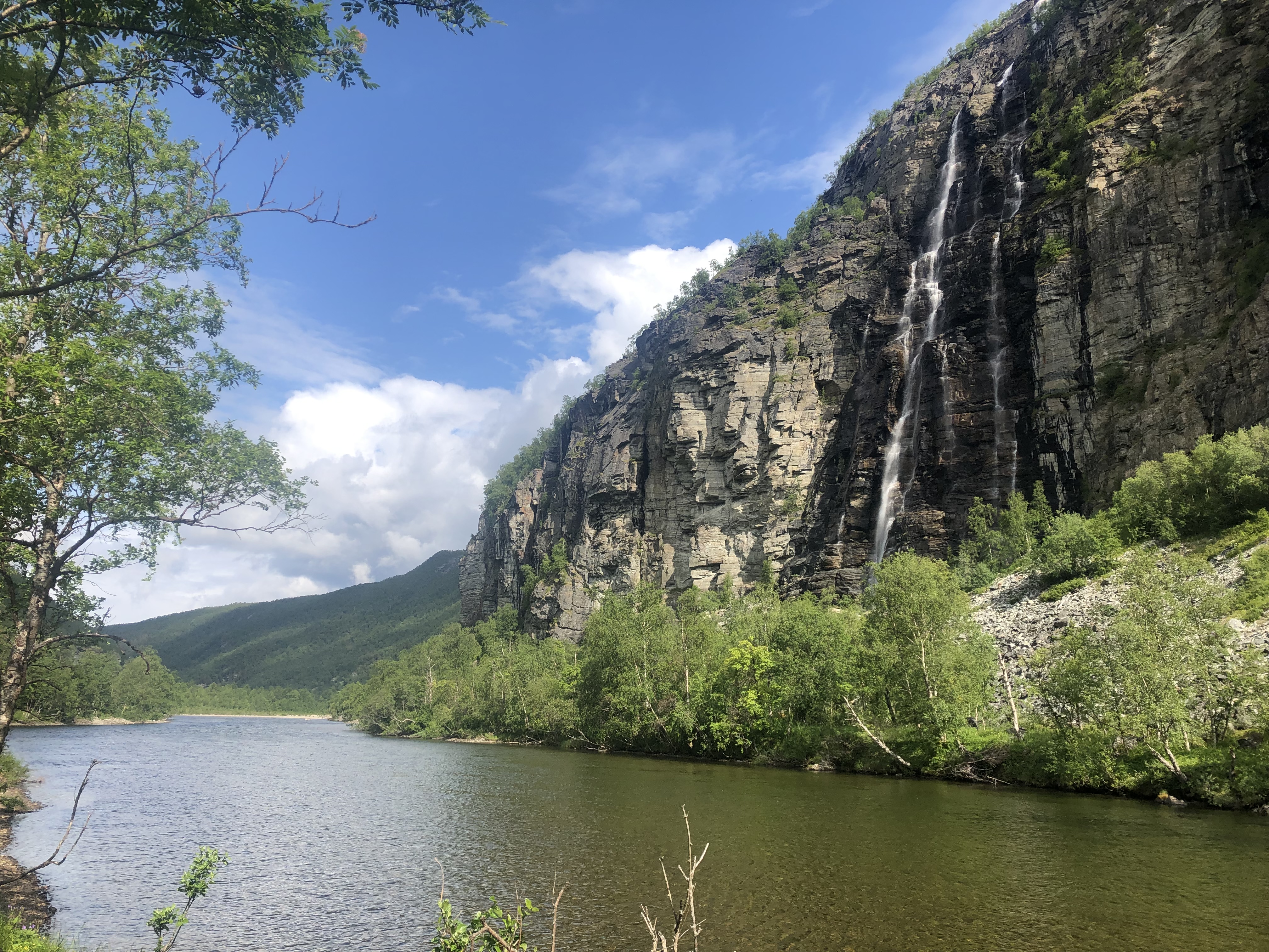
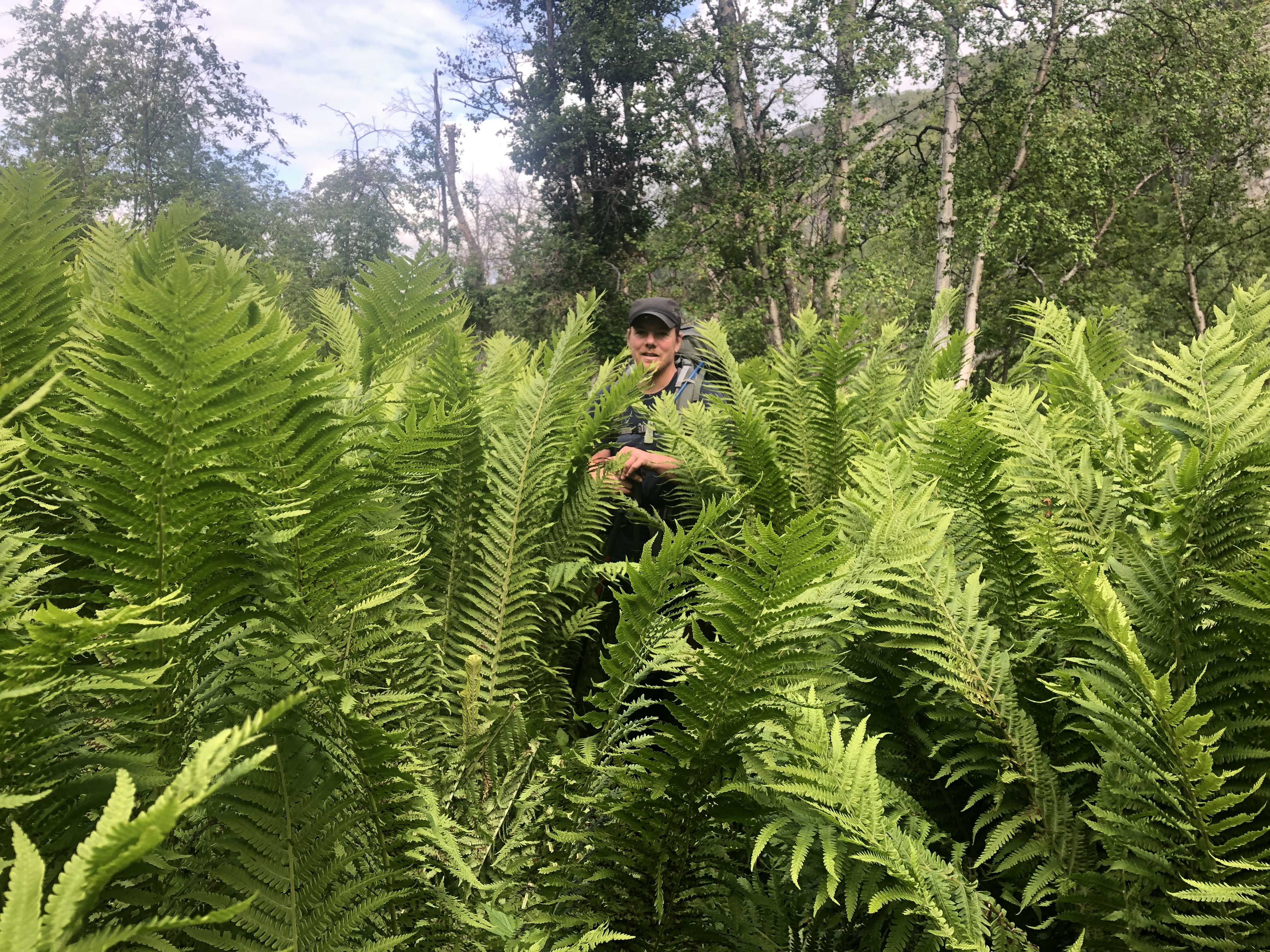
Next, you come to a sudden steep descent that leads into the Reisa National Park, a gorge with steep granite sides housing a beautiful large river, flowing strong down the center. We found ourselves feeling a bit trapped down here, but it is a unique microclimate filled with waterfalls, large ferns, a range of flowers, and sheltered enough to allow the pine and birch forest to grow tall and strong.
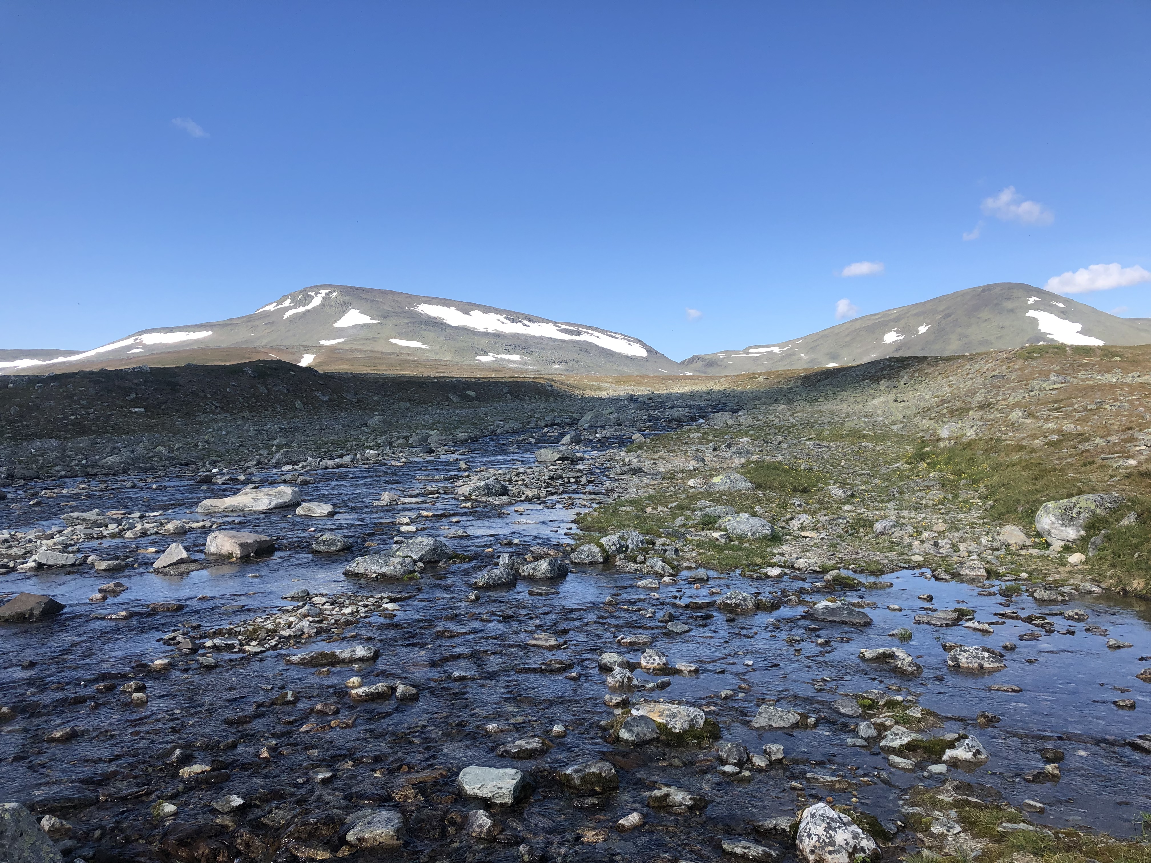
After 30km you climb out through a fir forest and enter into the climb that takes you up into the mountains that separate Norway from Finland.
We found ourselves in an unexpected mountain wonderland that leads us into Finland and to our destination Kilpsajvi, the mountains had beautiful rivers, an amazing open hut system and a lot more people due to the access route to Finlands highest peak, Halti.
Trail journal
Day 17: Eapperoaivi
Distance: 20 km (358 km in total)
Weather: sun and a few clouds, very warm
Another wonderfully warm sunny day, just a shame about all the mosquitoes and biting flies! Adding to the mix, we were chased for miles by relentless huge horse flies today. They circle you over and over and over again, relentlessly, sometimes 3-4 flies at the same time. It is truly maddening! The noise won’t stop unless you manage to kill the damn things. The only saving grace is that they rarely come in for a bite. Not so with the tiny black flies and mosquitoes! They too are relentless, and today there were simply too many to handle.
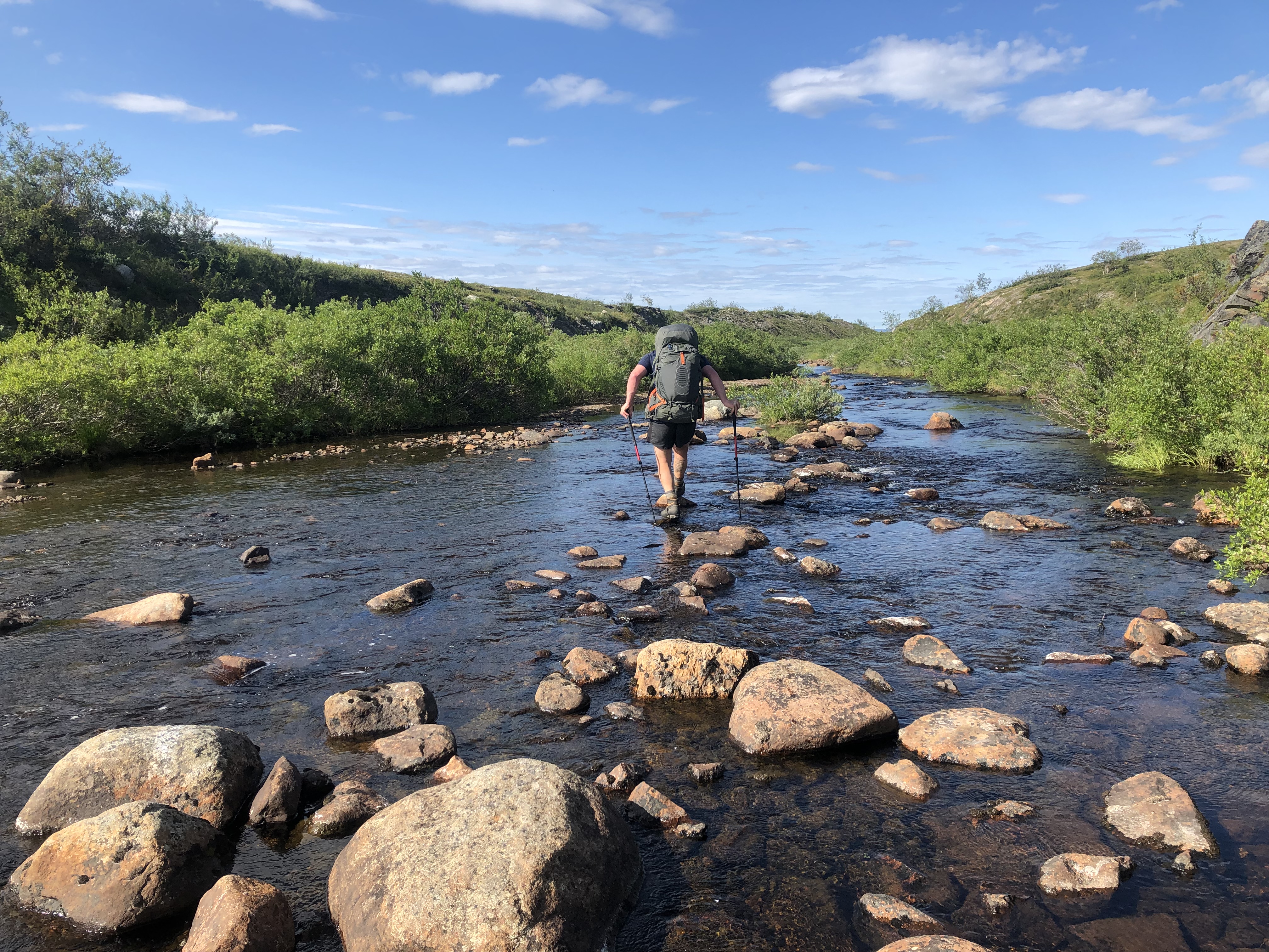
The trail routed us through about 15 km of really wet and boggy wetlands filled with mosquitoes. Every step forward was a struggle, much like post-holing in deep snow, while being attacked by mosquitoes. It was truly hell! Finally, we had enough and bailed for higher ground. We worked out an alternate high route over the ridges instead. The plan worked, but it is still hard work going off trail while going up up up. But at least it was drier and the bug situation manageable.
We camped up by a beautiful river and immediately jumped in to get cooled off and cleaned up. Even had a chance to wash up our hiking clothes too. Sweet!
We only did 20 km today, but it felt like 40! We’ll sleep well tonight.
Day 18: Rivkkoś
Distance: 22 km (380 km total)
Weather: cloudy, cool
Slept in. We must have been really tired because we took a 2-hour nap after dinner and then still slept in until 8:30. Oh well. Not like we are chasing daylight.
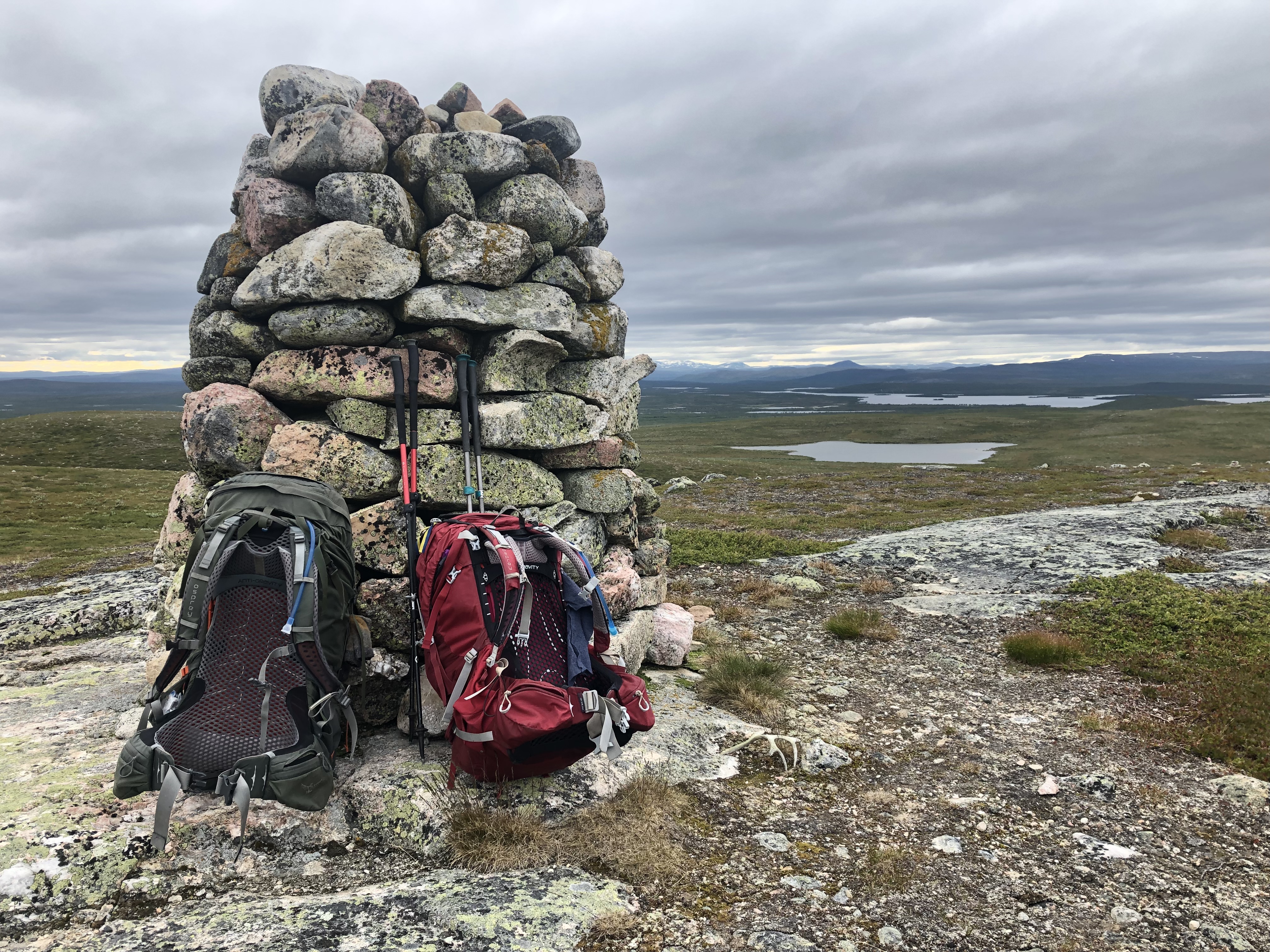
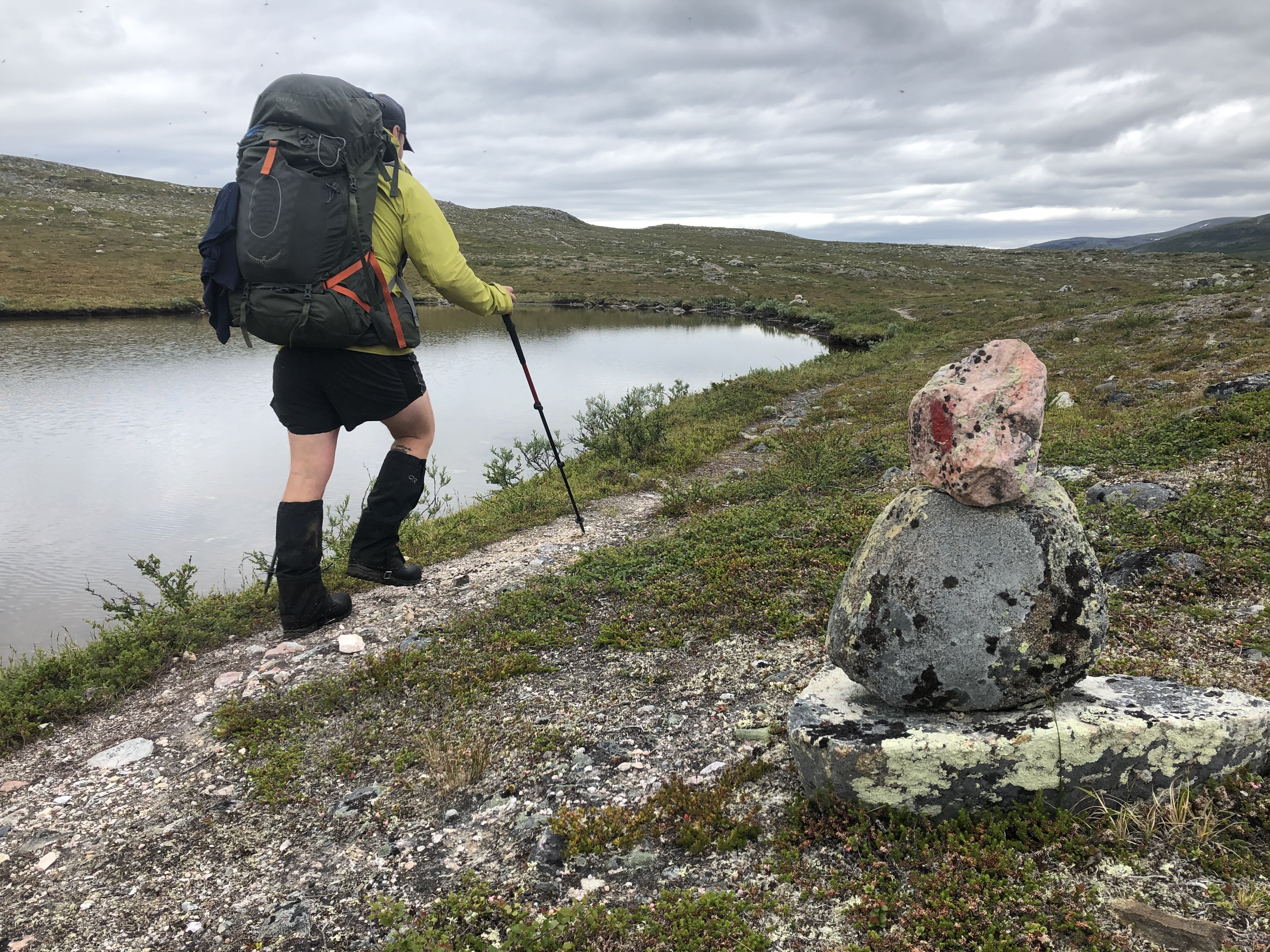
It was not as hard going today out of the wetlands up on the ridges. We caught back up with the E1 trail around lunch and thankfully it stayed up high for the rest of the day. The trail was a bit disheveled through here though. It looked as if someone had knocked over all the kerns for fun? Scott fixed quite a few along the way.
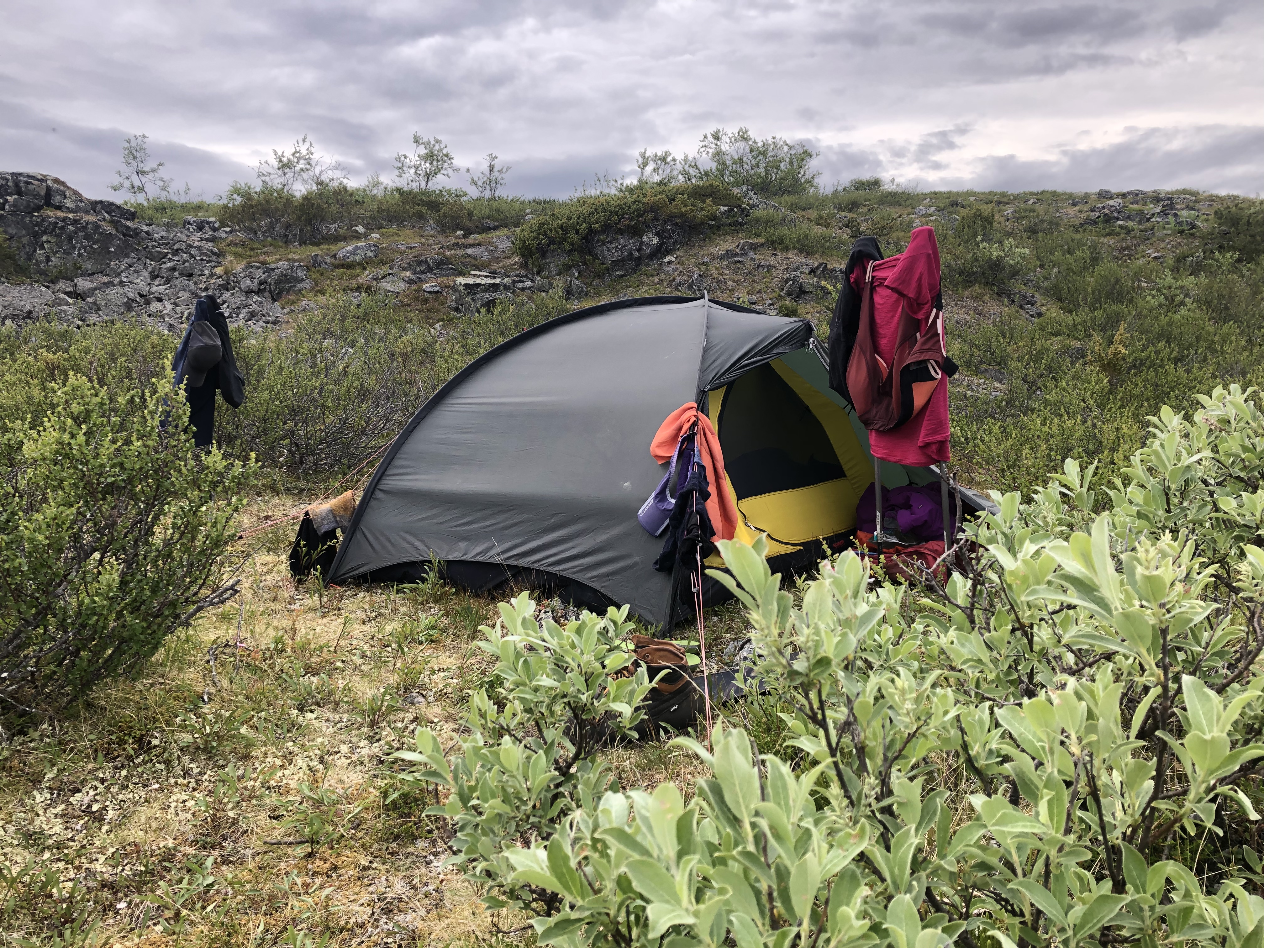
Scott’s shoulder was hurting a bit today… that pinched nerve playing up again. Hope a good night sleep will fix it. We are camped up by a lake up on the ridge where it is nice and breezy, so no mosquitoes!
Day 19: Nedrefosshytta
Distance: 35 km (415 km total)
Weather: cloudy, cool, a few showers in the afternoon
A bit of rain during the early morning hours and still a bit drizzly by the time we packed up. Sucks packing a wet tent, we have been spoiled with good weather the past week.
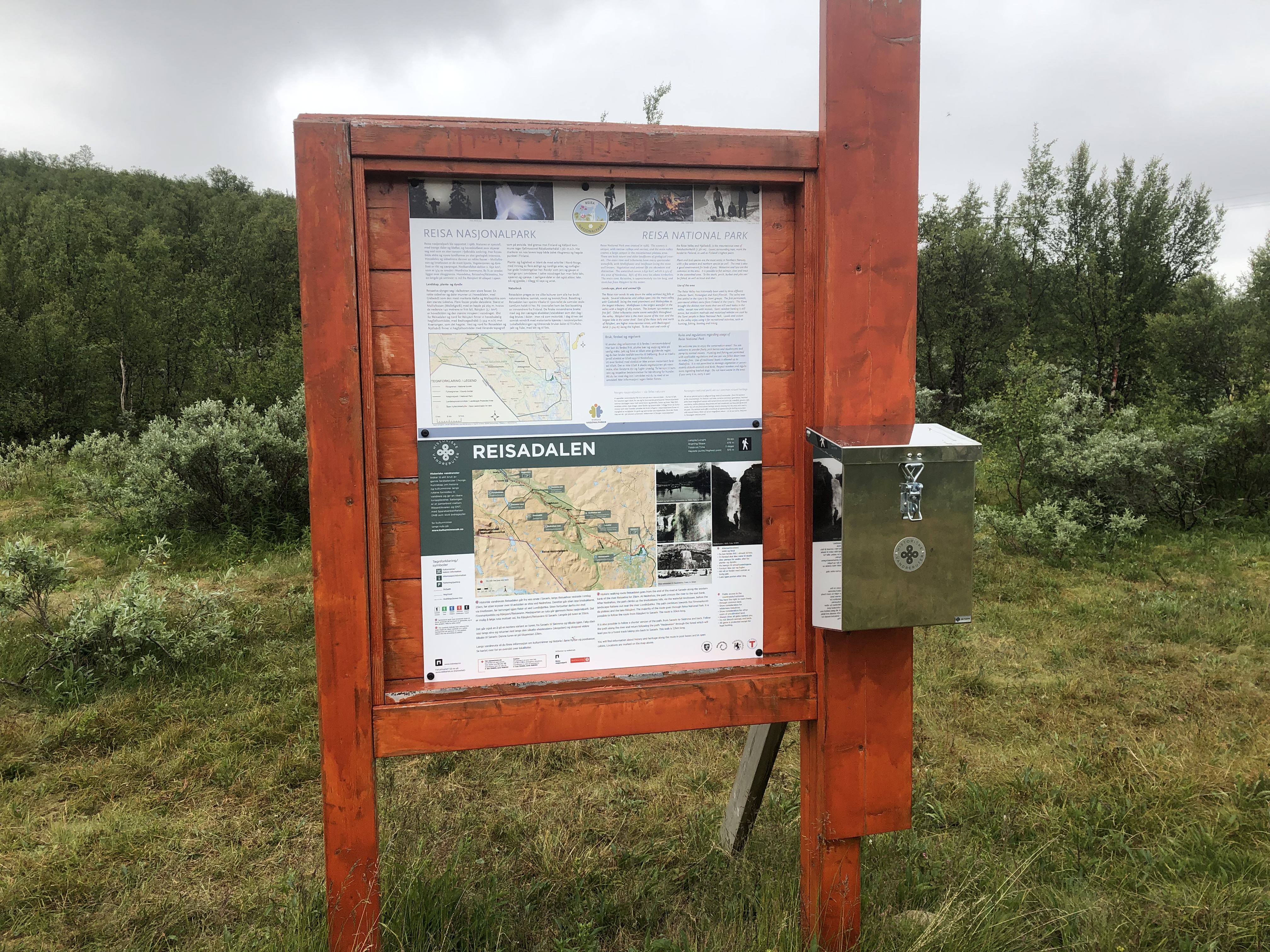
We entered into Reisa National Park today. Most notable was the boarding project in progress over the wetlands. We zipped over with dry feet in a fraction of the time it would have taken if we had to slog across as usual. Happy days! Trail signage was new too, and best of all — an actual dry trail to follow! Made hiking a lot easier and pleasurable.
We are heading in towards the mountains, but first, we have to walk through the Reisa valley. This is a deep gorge cut by the river over thousands of years leaving a dramatic landscape of steep granite sides and mighty rapids and waterfalls. The valley is home to rich plant life and wildlife such as falcon, eagle and brown bear.
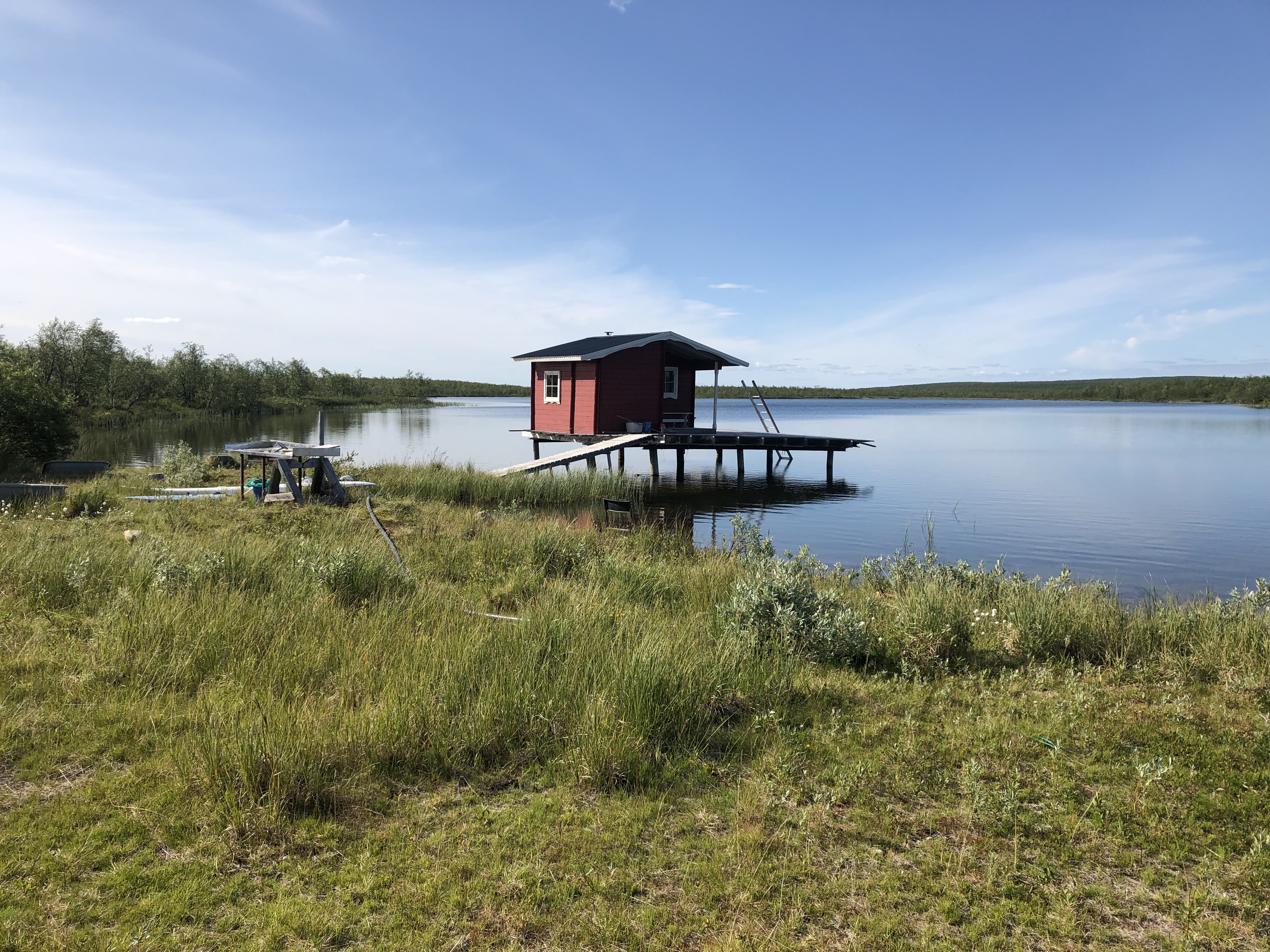
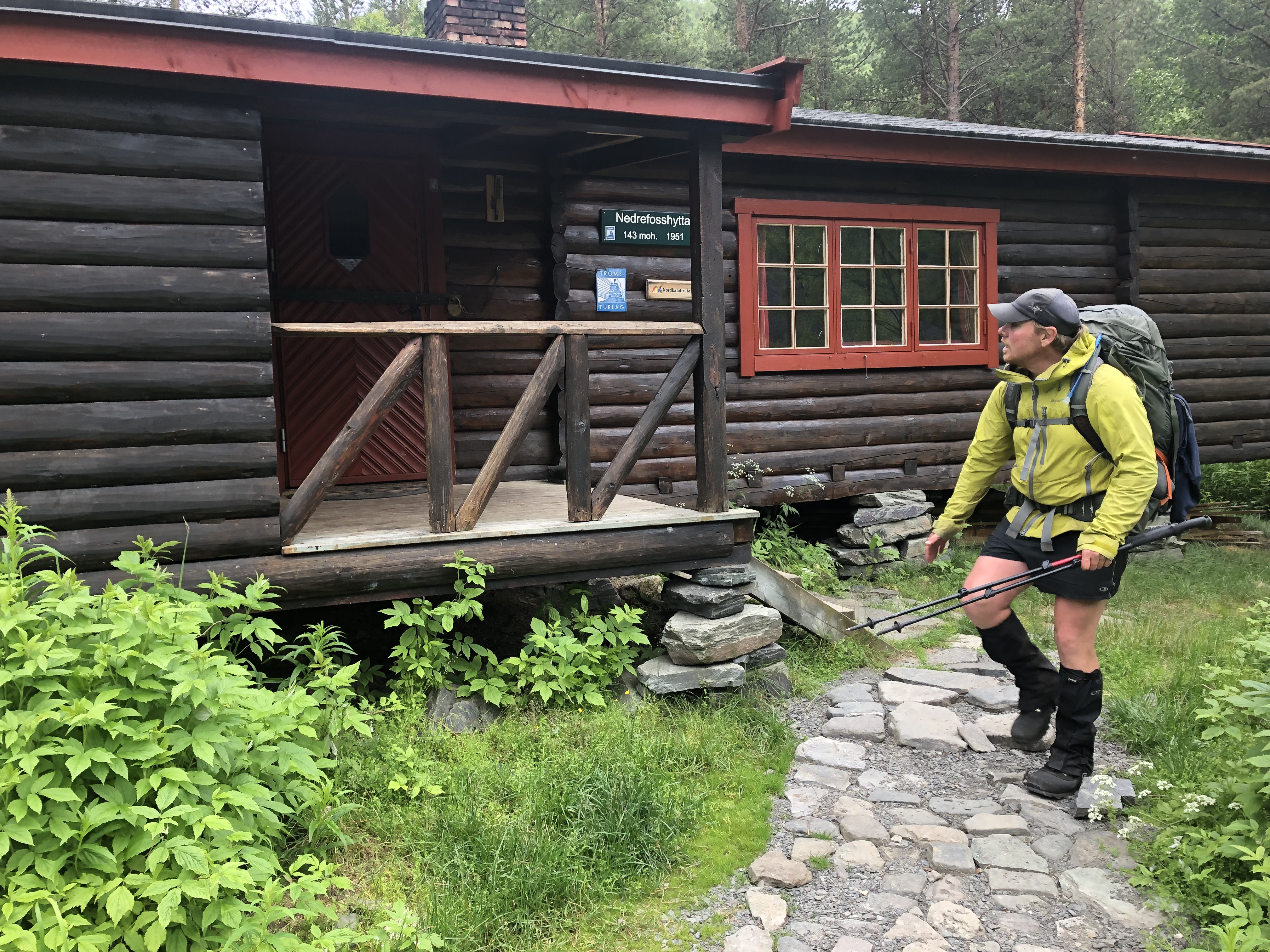
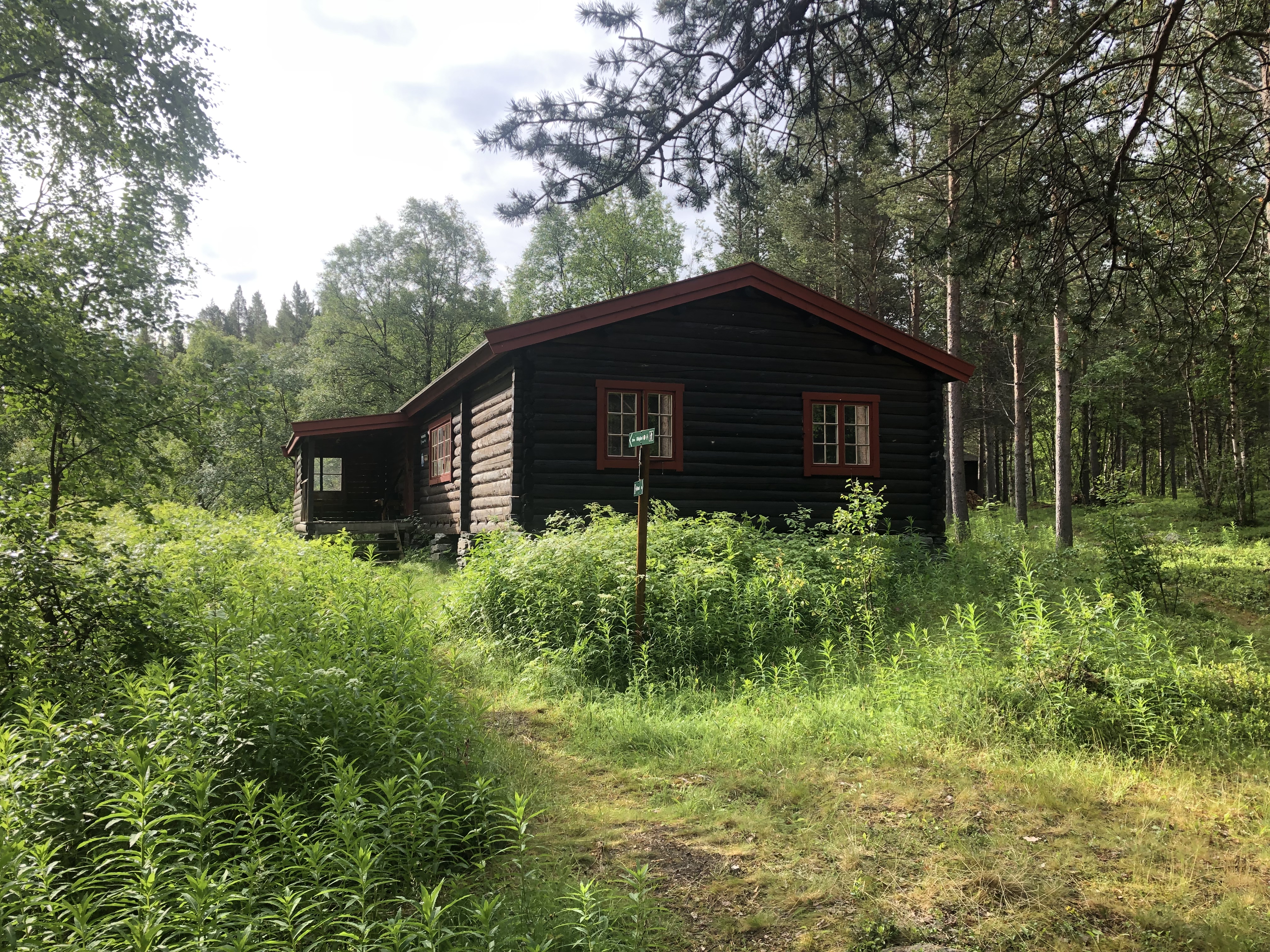
Our goal today was to make it to Nedrefosshytta, a beautiful hut just at the start of the gorge. It is an unserviced DNT hut with 16 bunks, proper kitchen with a woodfired stove/oven! We opted to cook our dinner on the cast iron fireplace instead while making the hut nice and toasty! We are planning to take a rest day here tomorrow to just relax and enjoy time on trail in the peace and quiet. Luxury!!
Day 20: Nedrefosshytta
Distance: 0 km (415 km total)
Weather: sun with clouds, the occasional light drizzle
We are thinking about the long game taking it easy in the beginning. So we are taking a very nice and relaxing zero-day in the hut. Drinking tea. Reading. Started making the next video. Washed all our clothes in the big river. Jumped in for a proper wash-up and even shampooed hair (biodegradable of course)! Mmm loving this! It is so peaceful here!
A Danish son and dad team showed up in the afternoon and stayed the night. They are traveling north. We sat up talking until late. Nice!
Day 21: Reisa Nasjonalpark
Distance: 34 km (449 km total)
Weather: cloudy
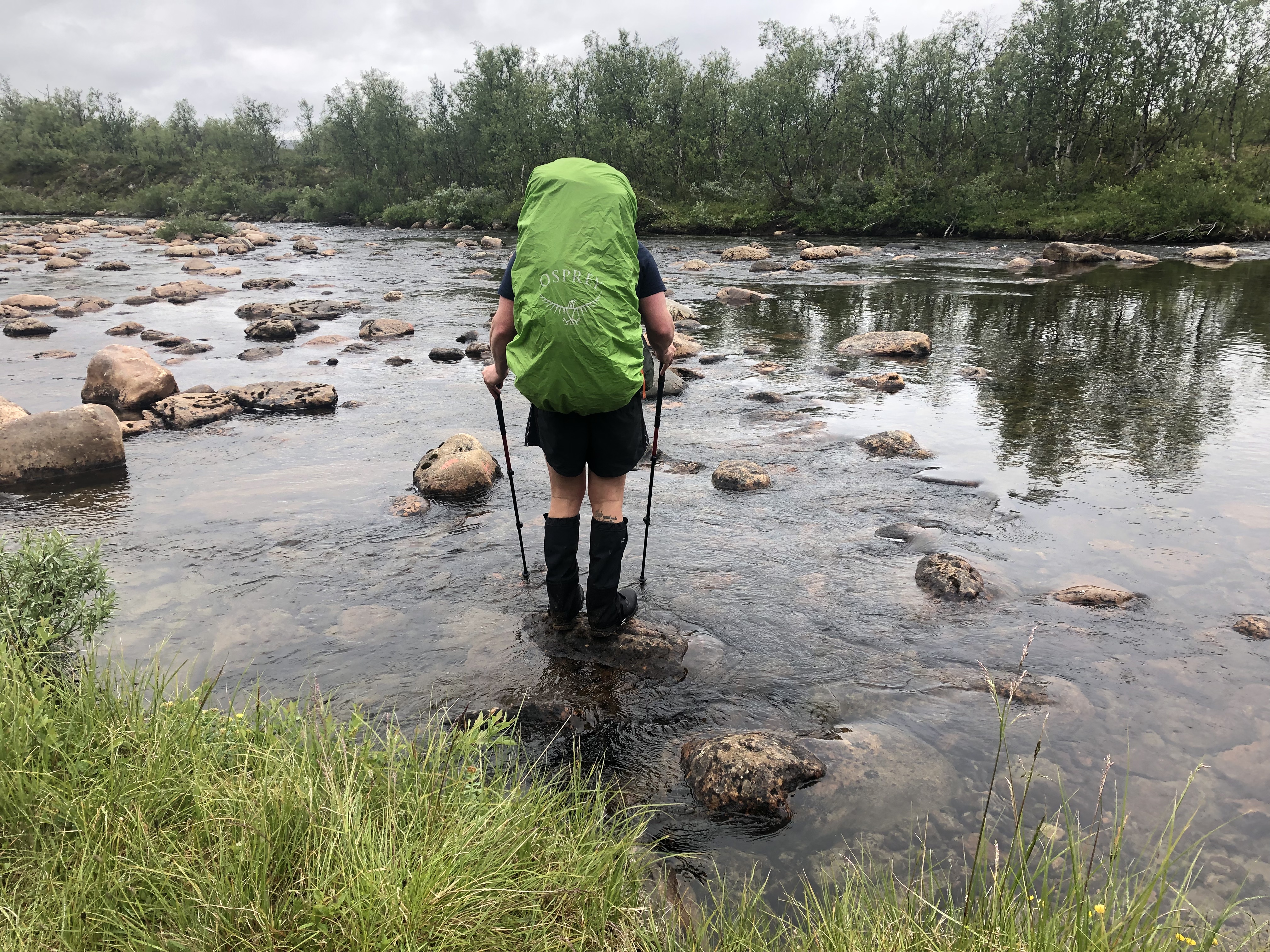
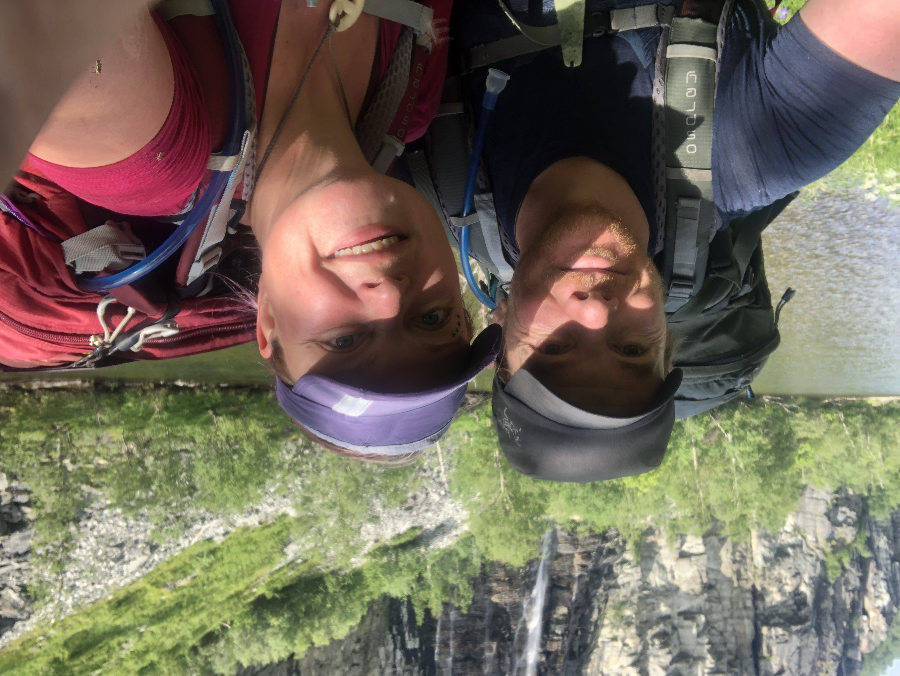
Left the hut around 8. We had a long walk down the Reisa Valley today following the huge salmon river. Beautiful lush landscape, ferns that grew taller than us(!), lots of waterfalls, but we felt sort of trapped between the river and the steep sides of the canyon. We can’t wait to get to the mountains!
Made good time for the first 26 km. Got to the visitor center at the park entrance where the woman working there treated us to cookies and campfire kettle coffee. Super nice! It was enough to recharge us for the last 8 km of the day, including the 600 m steep climb out of the valley. Very sweaty, but what a reward to finally be up high amidst the mountains!
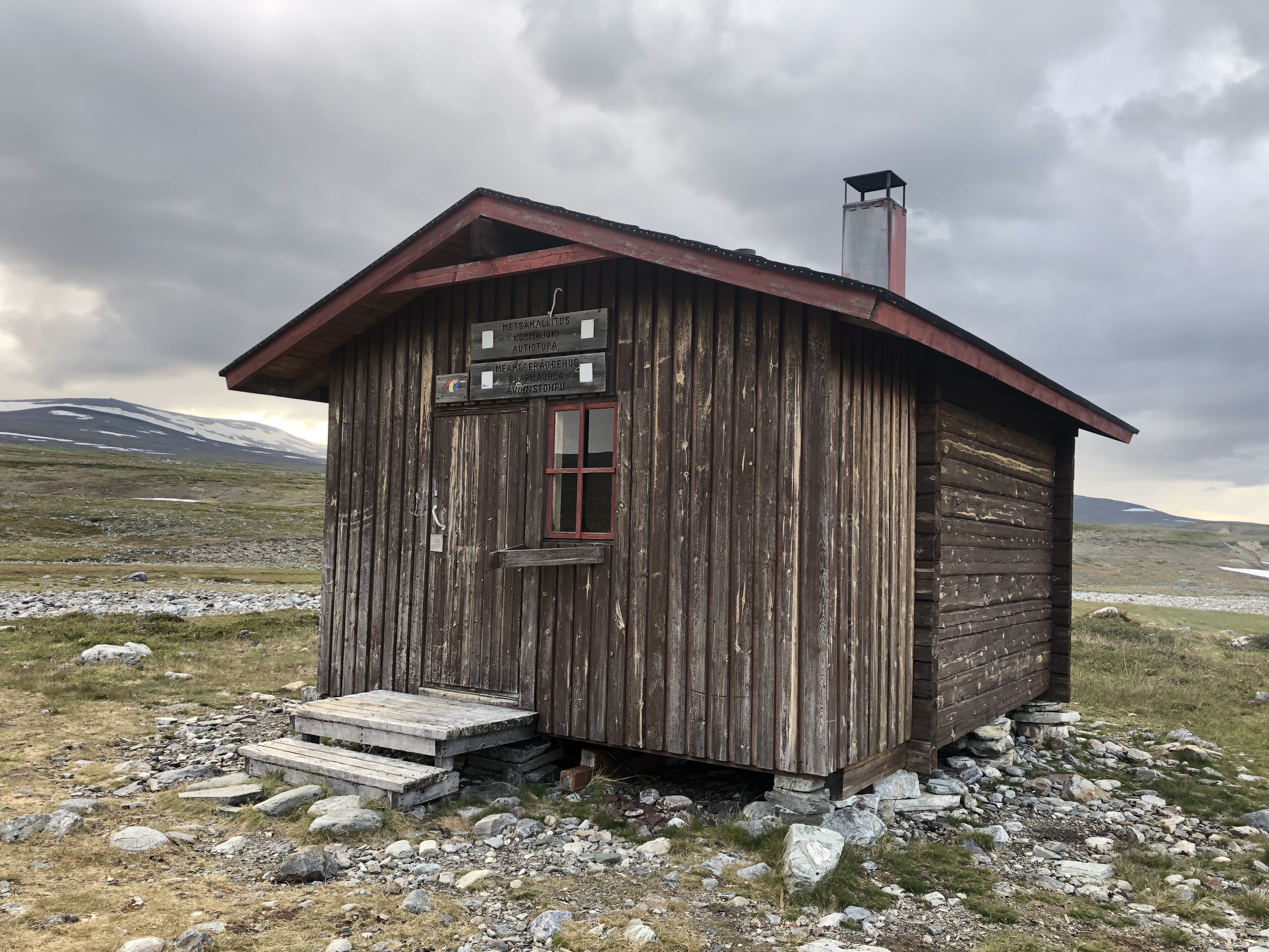
Day 22: Kopmajoki open wilderness hut
Distance: 27 km (476 km total)
Weather: cloudy and sun few short micro showers
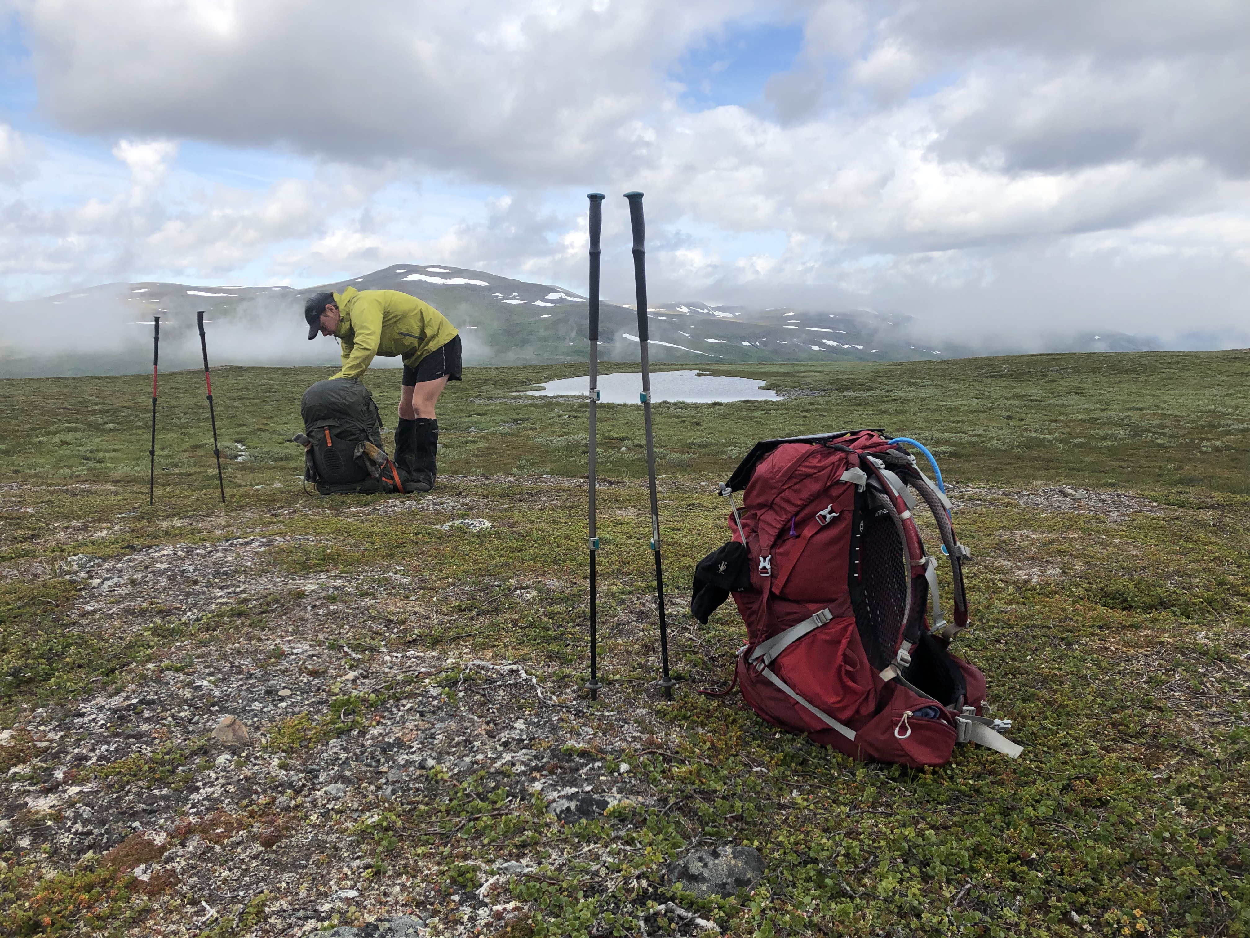
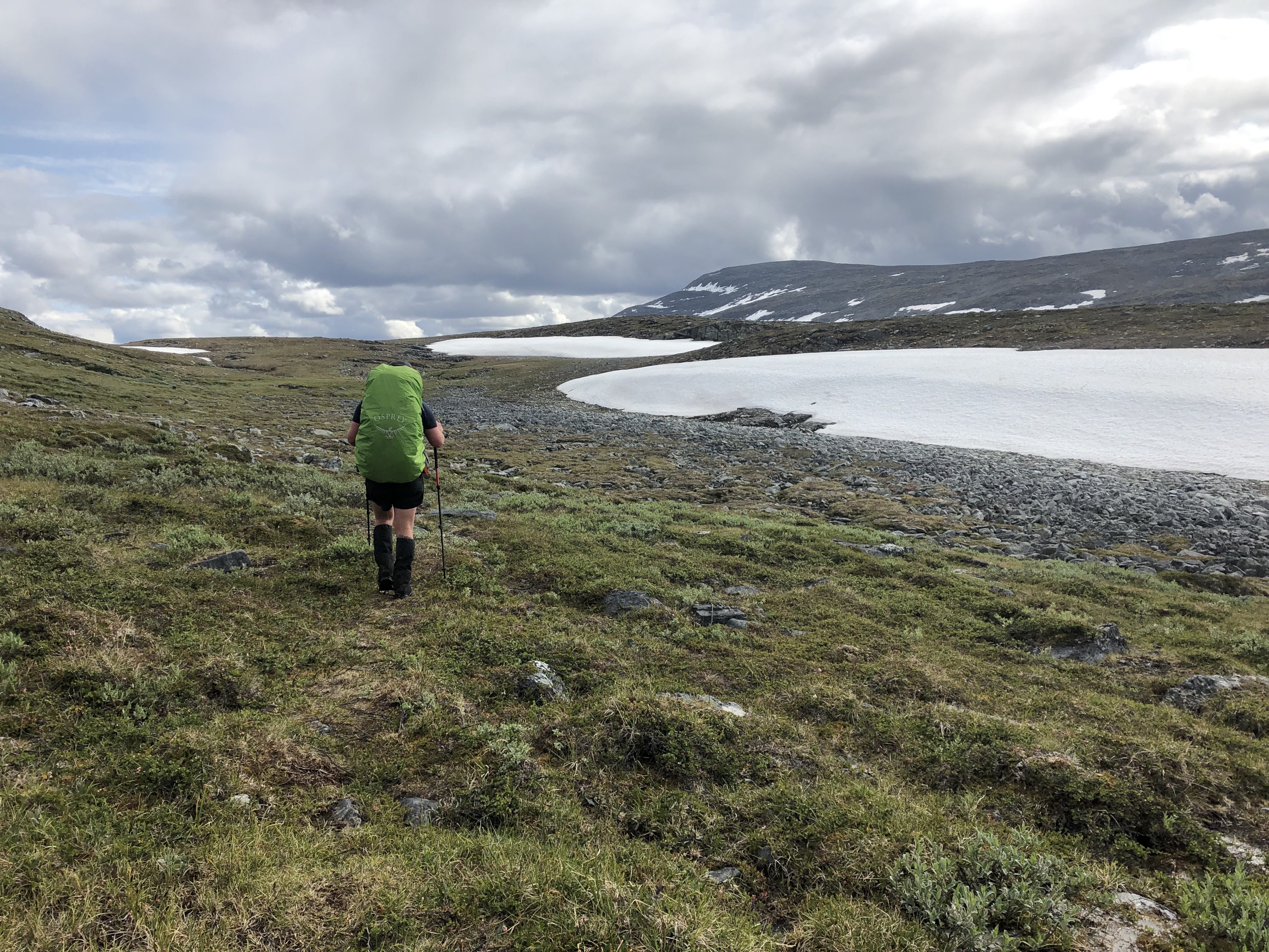
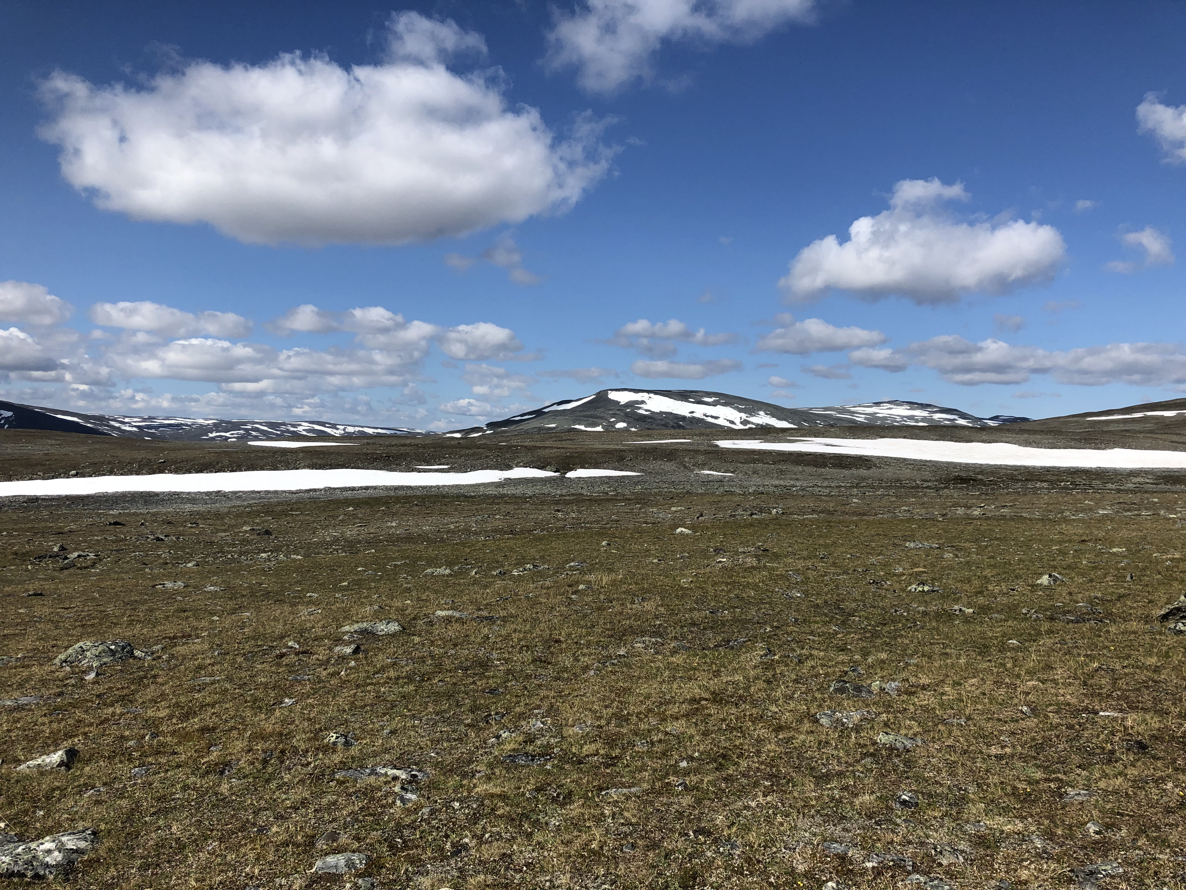
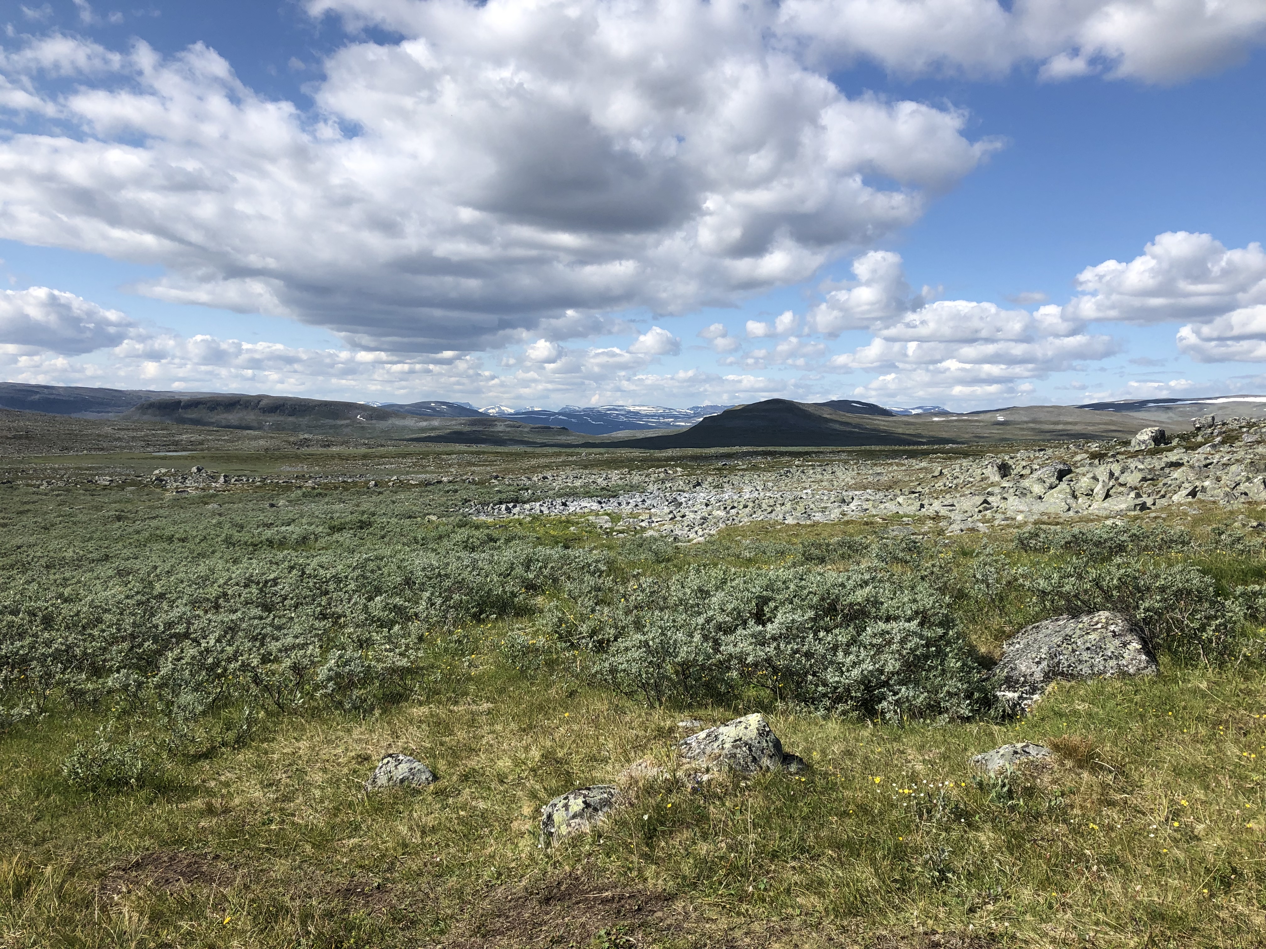
Woke surrounded by fog. Very eerie feeling. It started to lift just as we moved out. We had done most of the climbing yesterday, so today was mostly a nice hike up in the mountains, some still with patches of snow. It was nice to be up in the mountains finally! Yet both of us felt a bit out of sorts today for some reason.
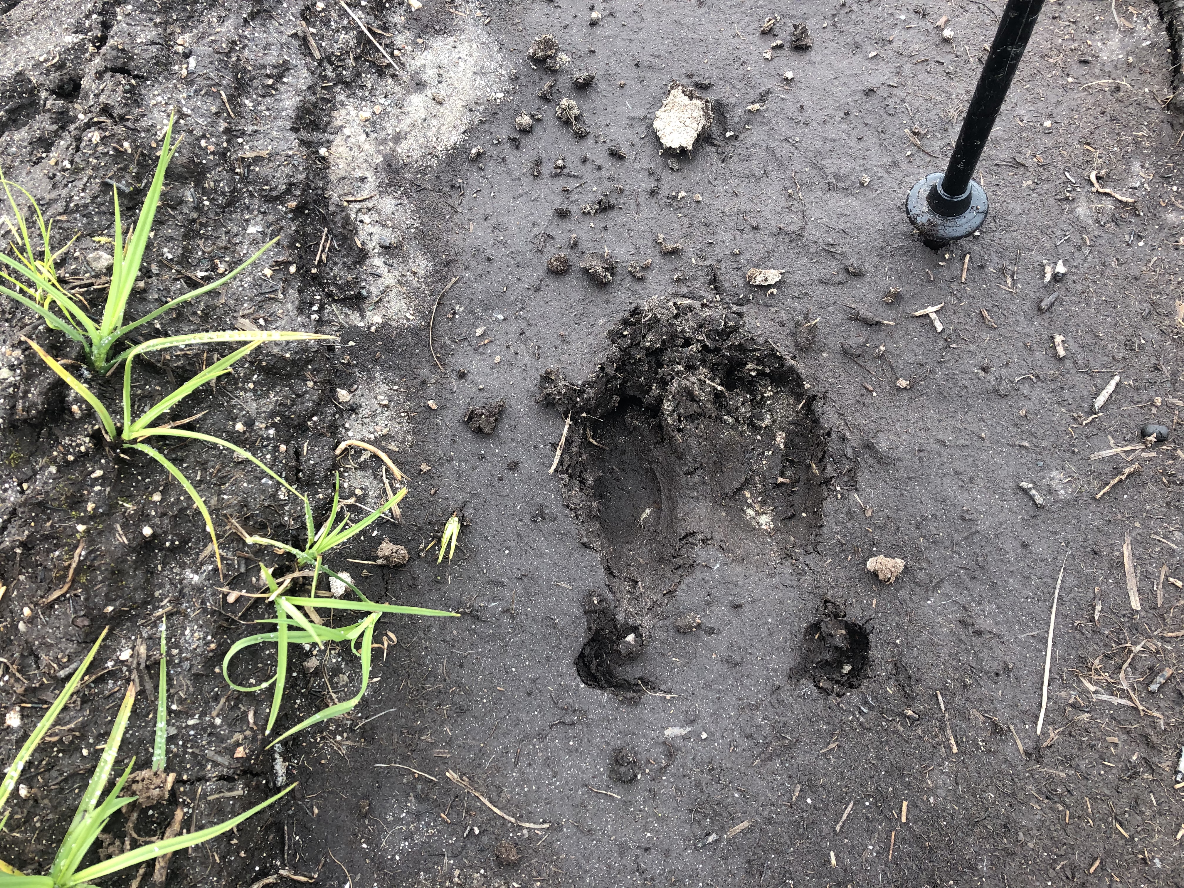
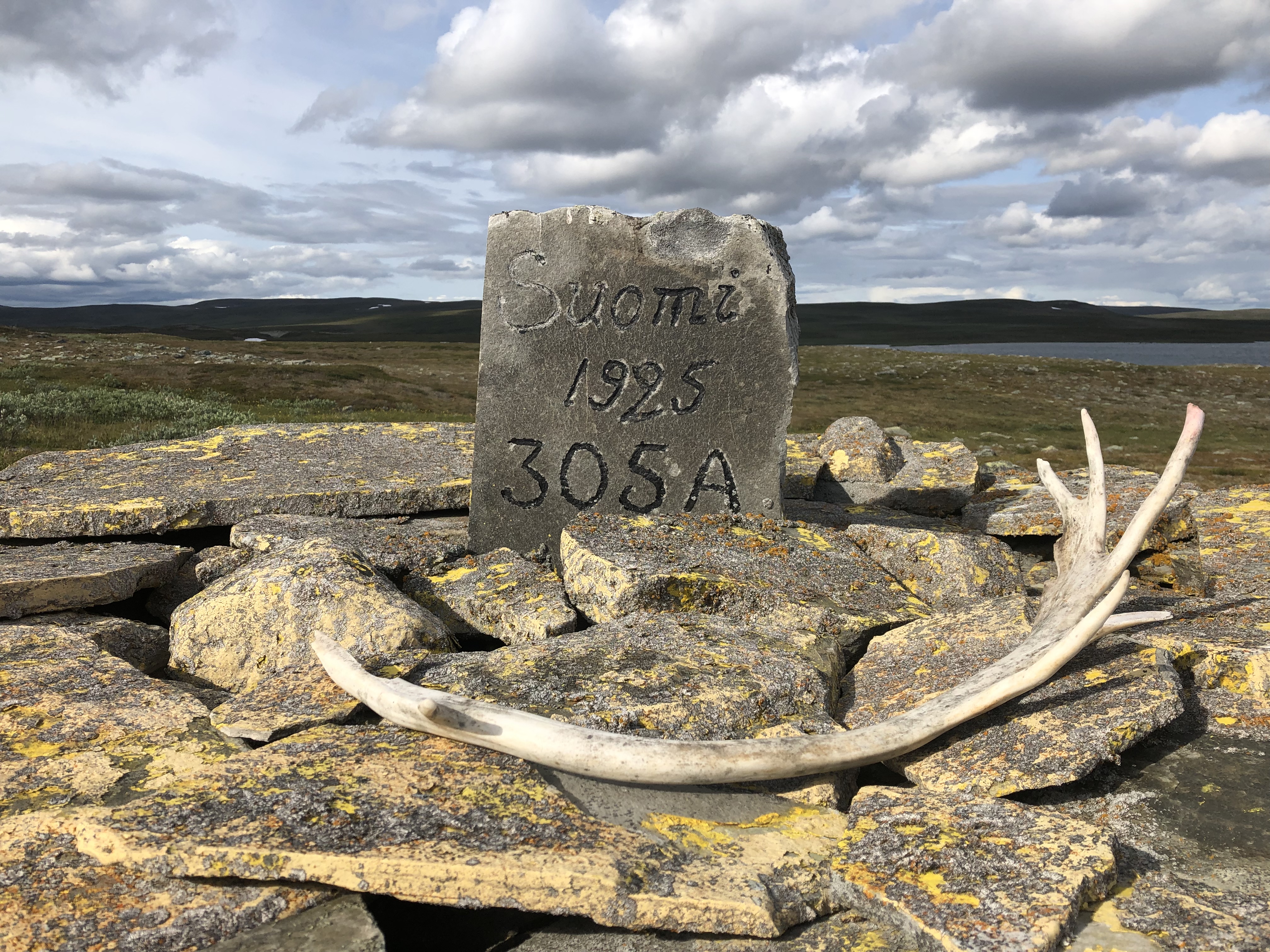
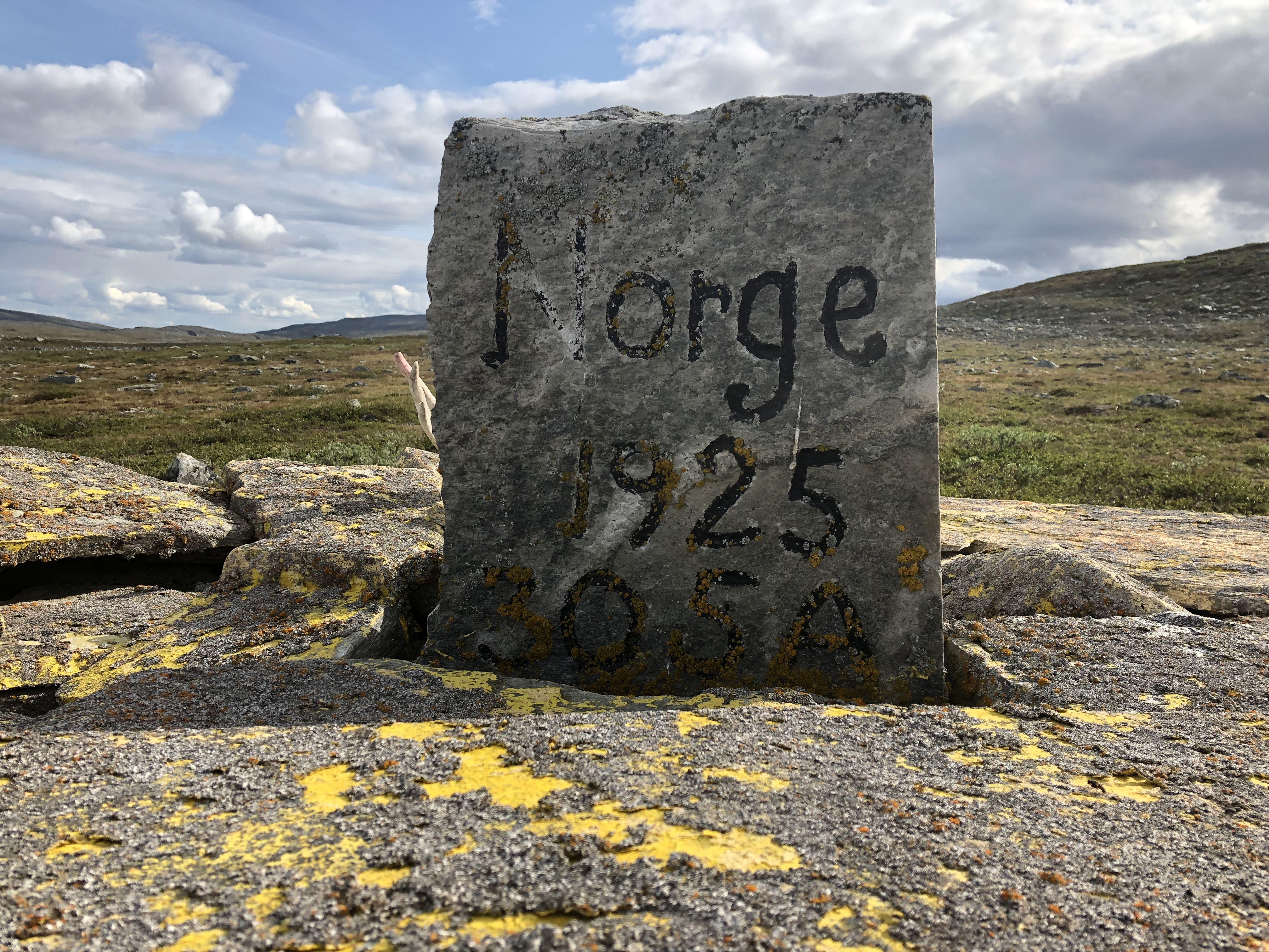
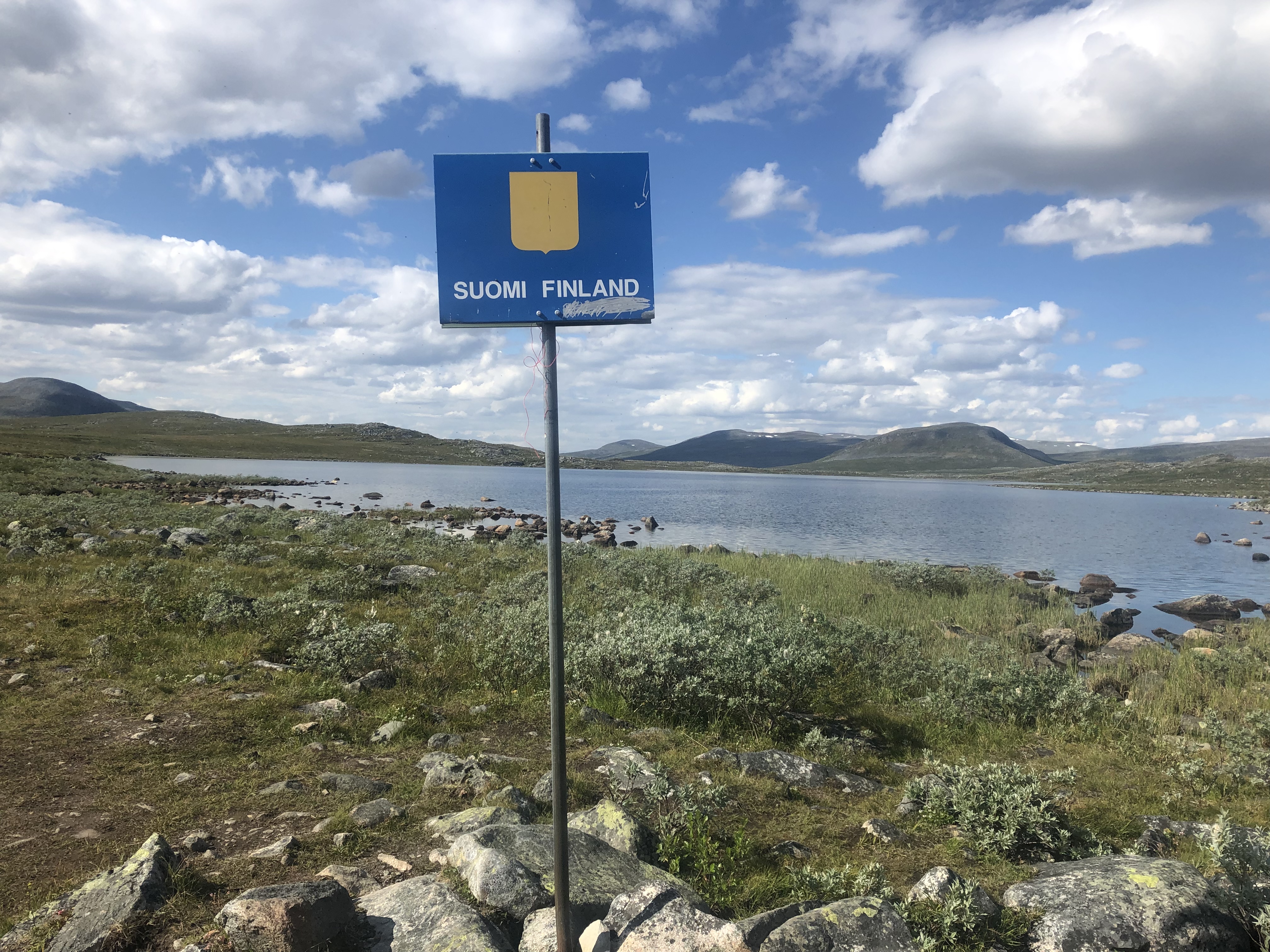
We started dropping down into a valley after lunch and the trail started getting really rocky. At the bottom of the valley was the border between Norway and Finland. The trail passes a large kern from 1925 that marks the border. Our first border crossing on this expedition!
The amazing free little hut was a very welcome site at the end of the day. Very rustic but well outfitted. Six wooden bunks, a cast iron fireplace, lots of firewood, even a gas cooker! Even had a recycling shed!!! Super nice! Not sure if it was due to the big day we did yesterday, or the rocky trail at the end of today, but our feet were really, really sore once the boots came off!
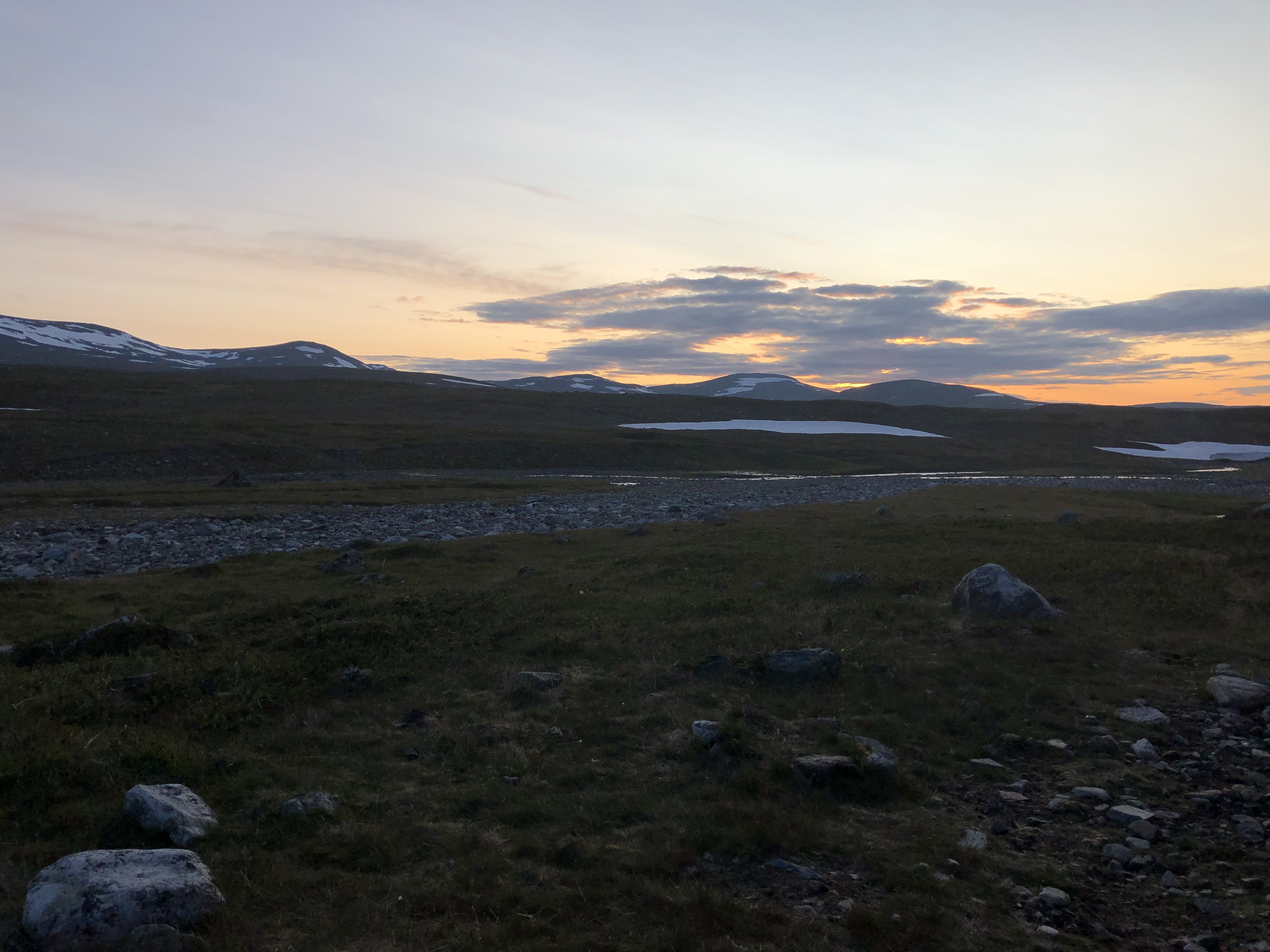
Very nice near sunset at midnight!
Day 23: Meekonjärvi Lake
Distance: 23 km (499 km total)
Weather: sunny, a few scattered clouds
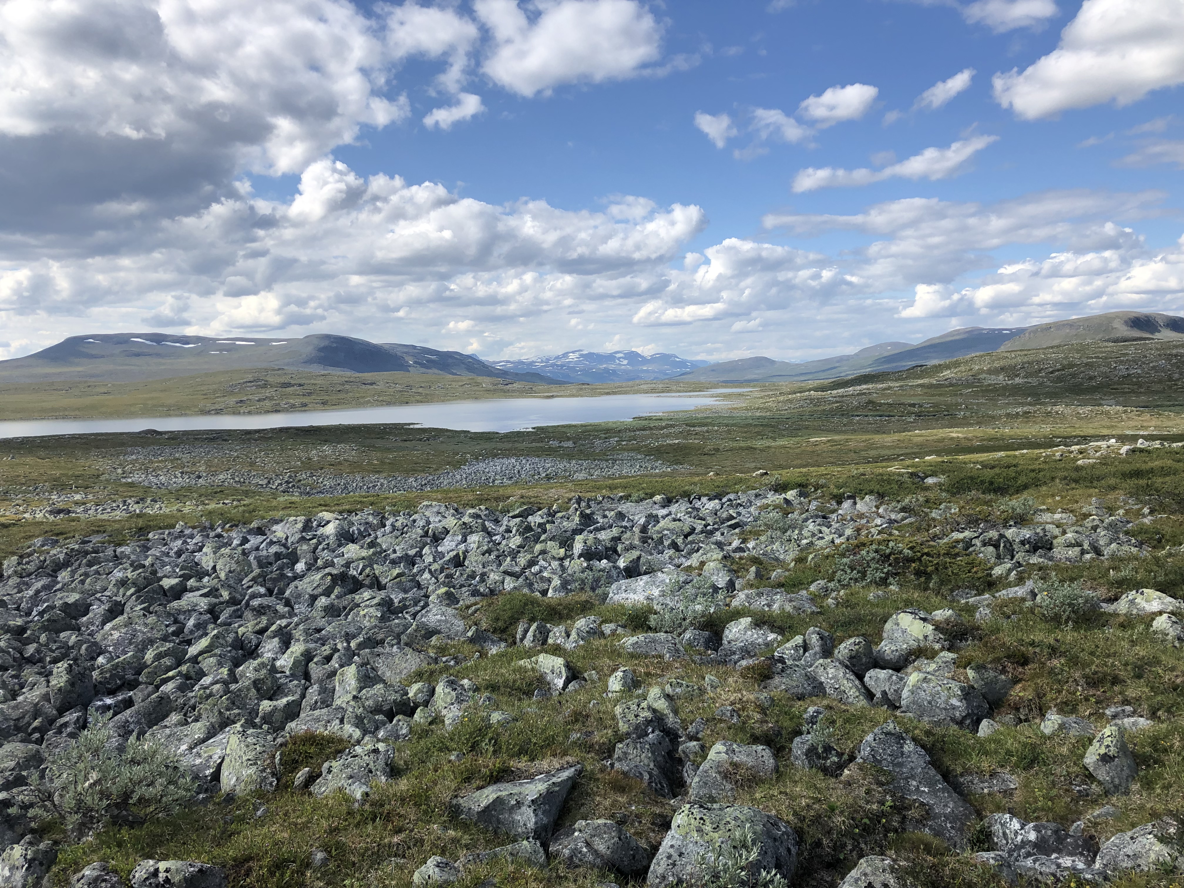
Woke to a beautiful sunny day! We left the hut and climbed over the saddle just beyond it. Really nice to be surrounded by mountains again after the long hike across Finnmarksvidda in Norway.
We had crossed a border yesterday, and we could feel the change. Finland is beautiful, but the trail markers leave a bit to be desired. A short 30 cm post where the top 5 cm is painted light orange. A color that matches the natural landscape beautifully which made them pretty hard to spot at times. It is beautiful here though!
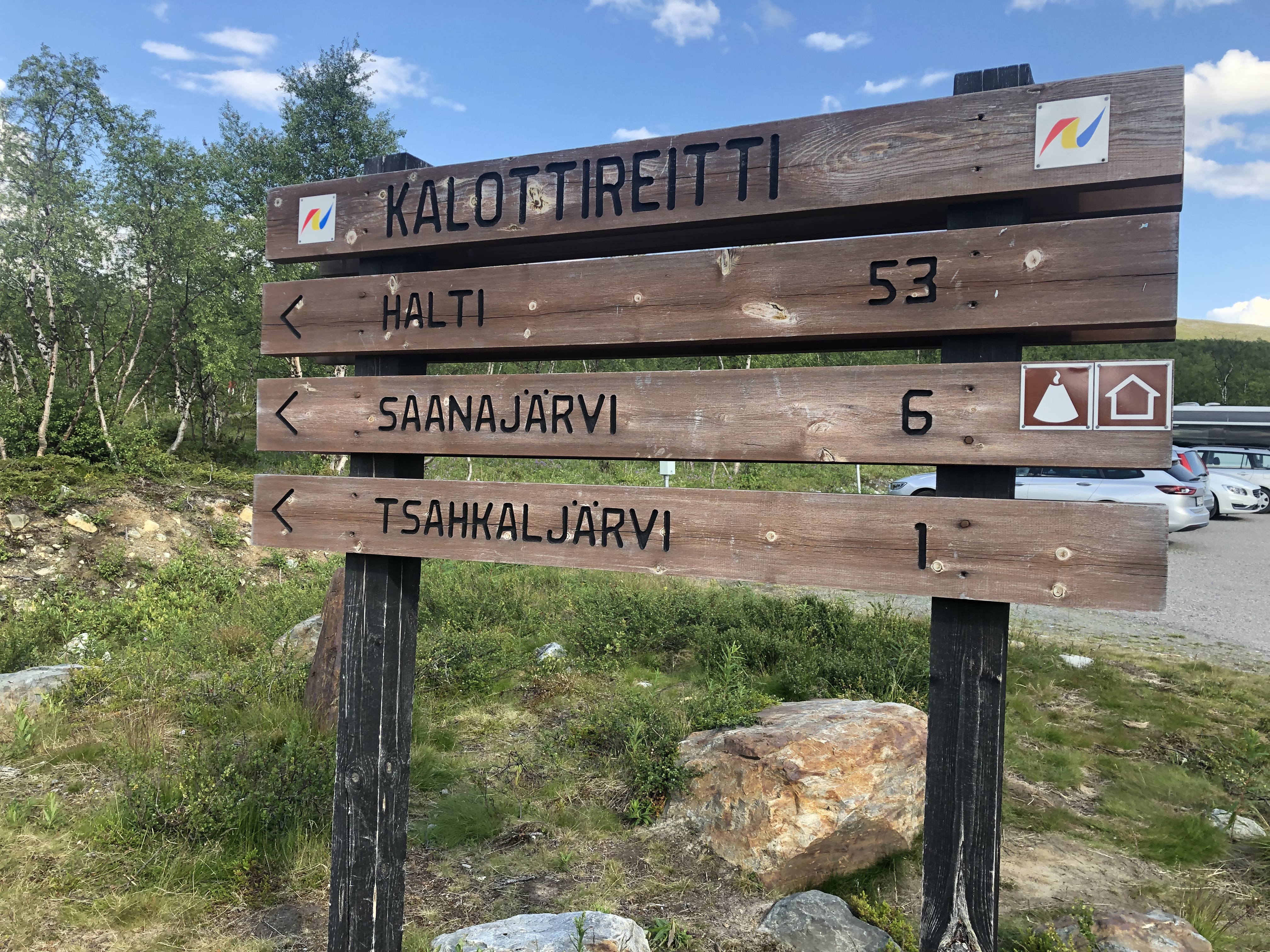
We walked in the shade of the tallest mountain in Finland today. It seems to be a popular hiking area and we saw more people today than we have in total since we started!
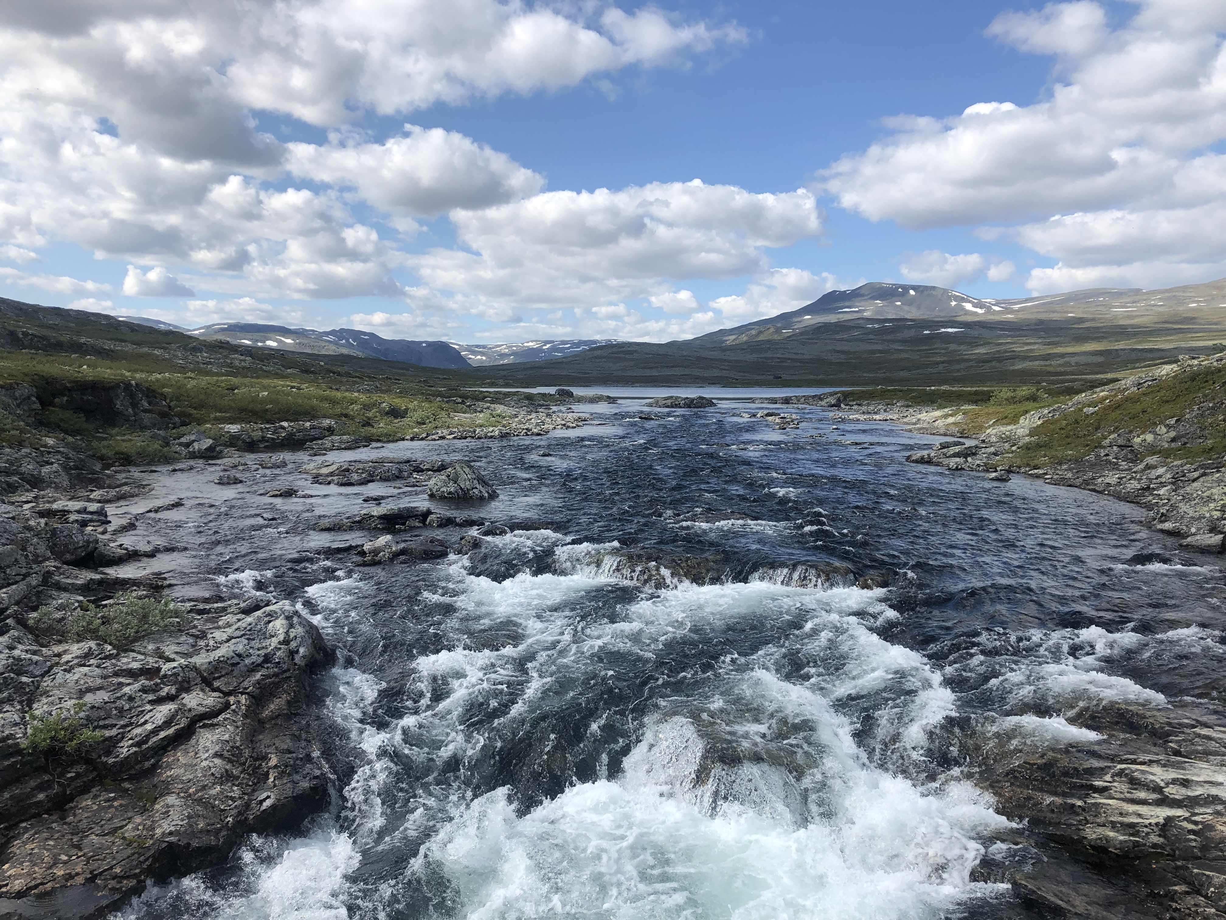
We followed a big beautiful river down the valley for the last half of the day. Saw a few people fishing and met a few hikers heading up the trail.
We camped up by a stream feeding the big river. Washed up a bit and rinsed out our hiking clothes. It is nice breezy and sunny so they will dry before sleep. Scott made us Mexican rice wraps for dinner. Mmm. What a beautiful day! Tomorrow we walk into Kilpisjärvi.
Day 24: Kilpisjärvi
Distance: 35 km (534 km total)
Weather: sunny, a few clouds in the afternoon
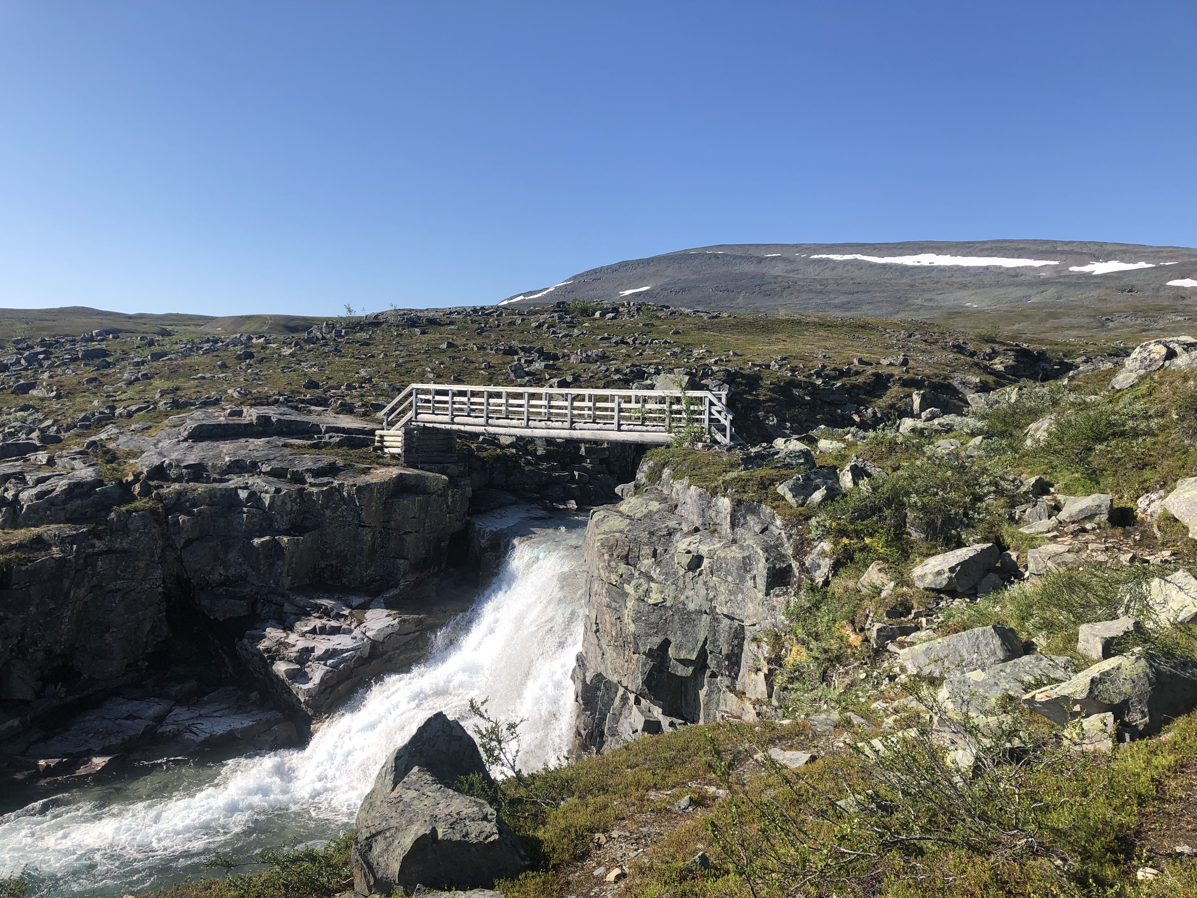
On trail by 8:30. Beautiful section today, surrounded by mountains, rivers, and lakes. Not a cloud in the sky until the afternoon. Quite warm too.
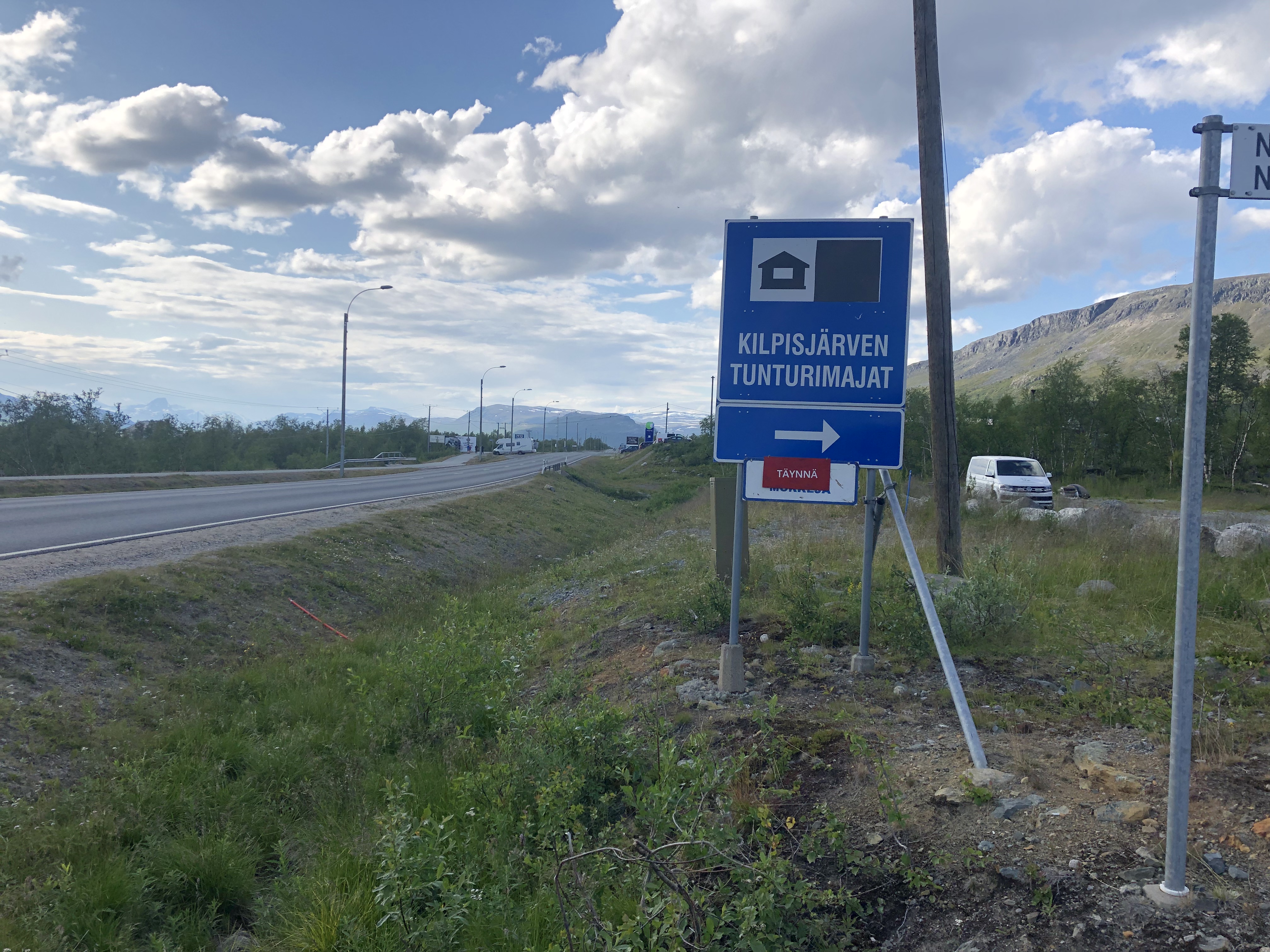
The last 10 km coming down to Kilpisjärvi was a rock-hopping frustration that was really hard on the feet, but we finally made it. Arrived in Kilpisjärvi and went on a hunt for pizza. The pizza chef had the day off (!) so we had to “settle” for veggie burgers, but oh what awesome burgers it was! Yum! A true town treat!
Next, we did our resupply and then walked up into the mountains again to camp up. Found a spot just above the tree line a few km out of town. Tomorrow we start the next leg towards Abisko.


Leave A Comment