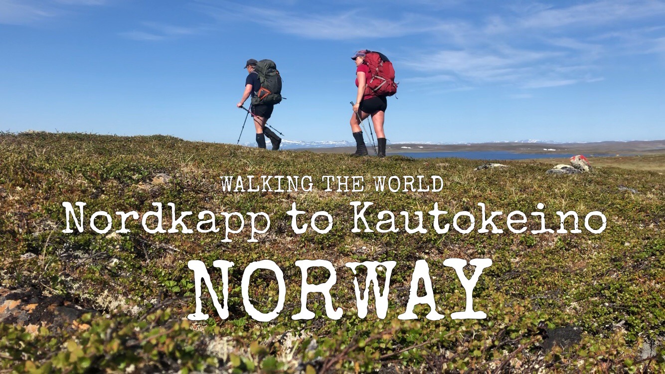
Walking the world
- Norway: Olderfjord-Kautokeino
- 3 – 12 July, 2019
- 223 km (335 km in total)
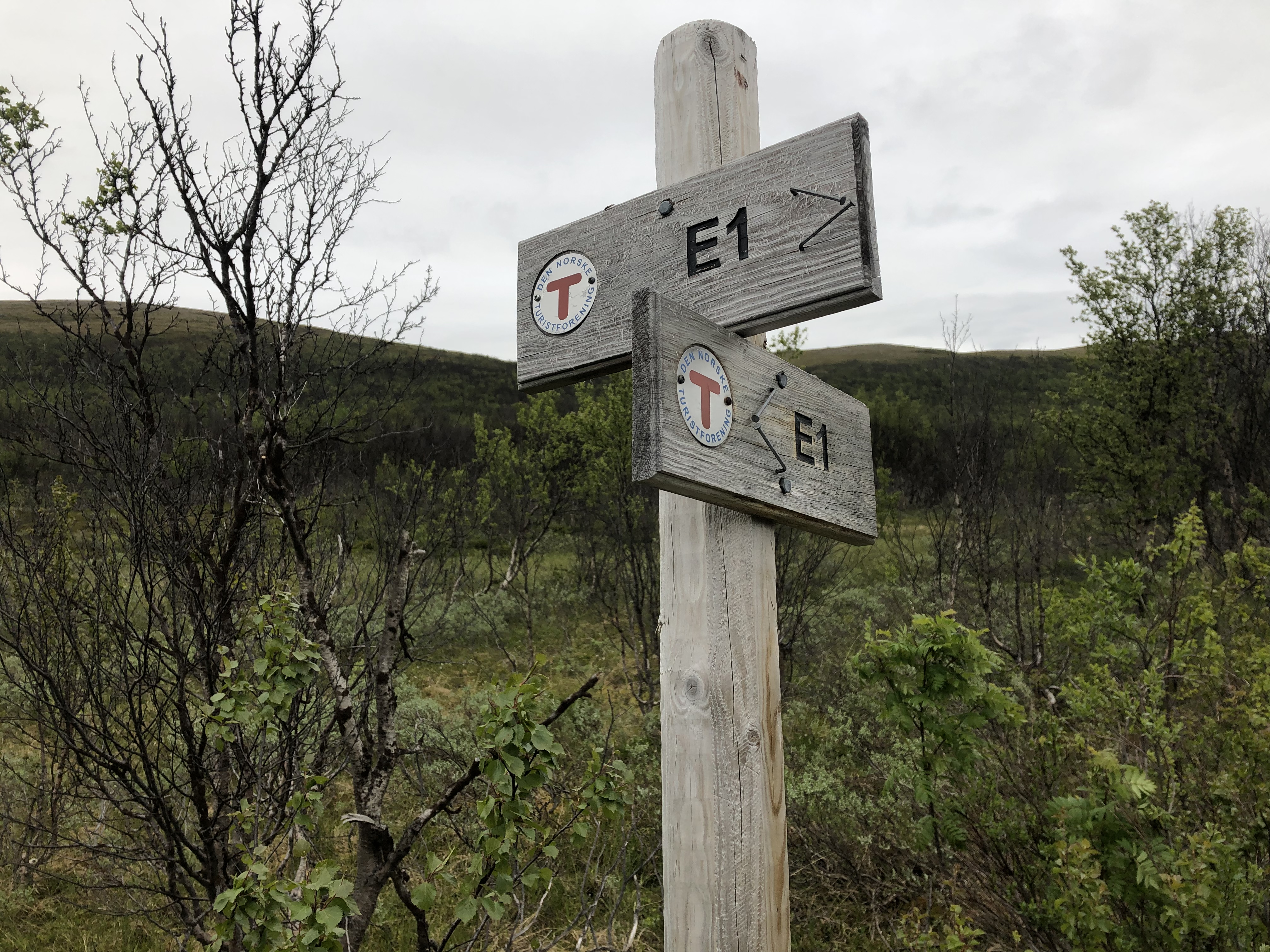
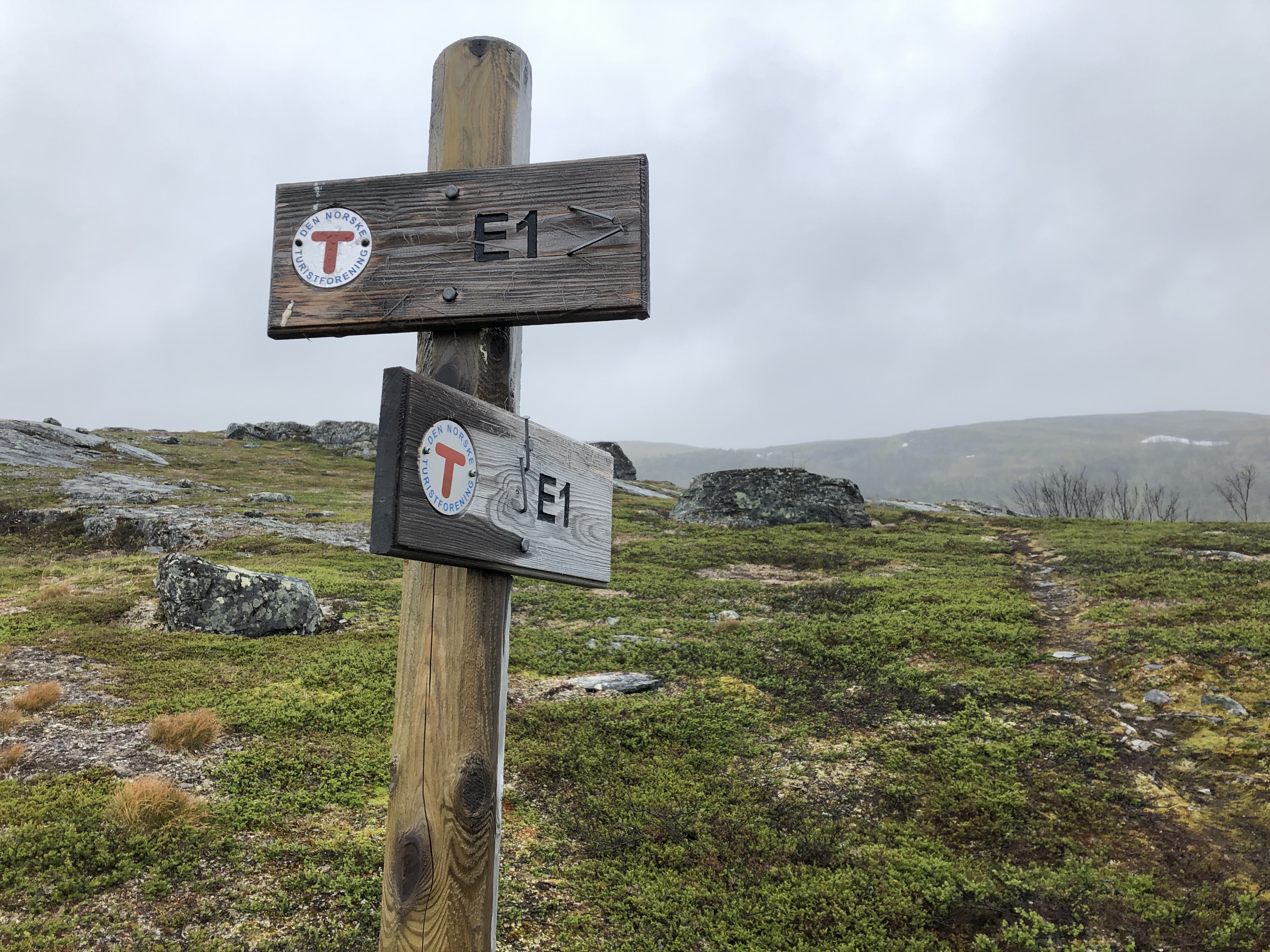
- E1 European long distance path: Scandinavia
Trail description
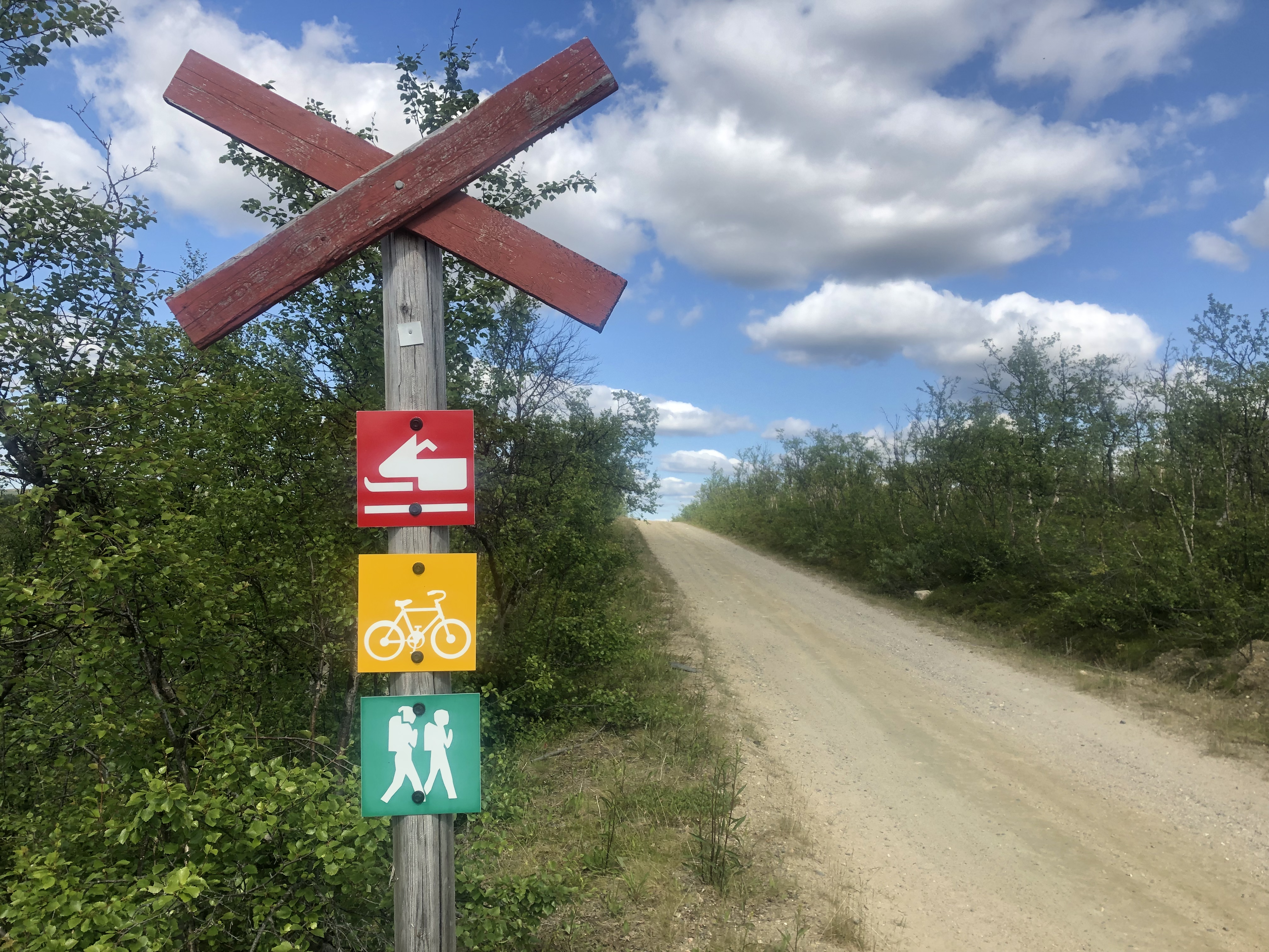
Terrain
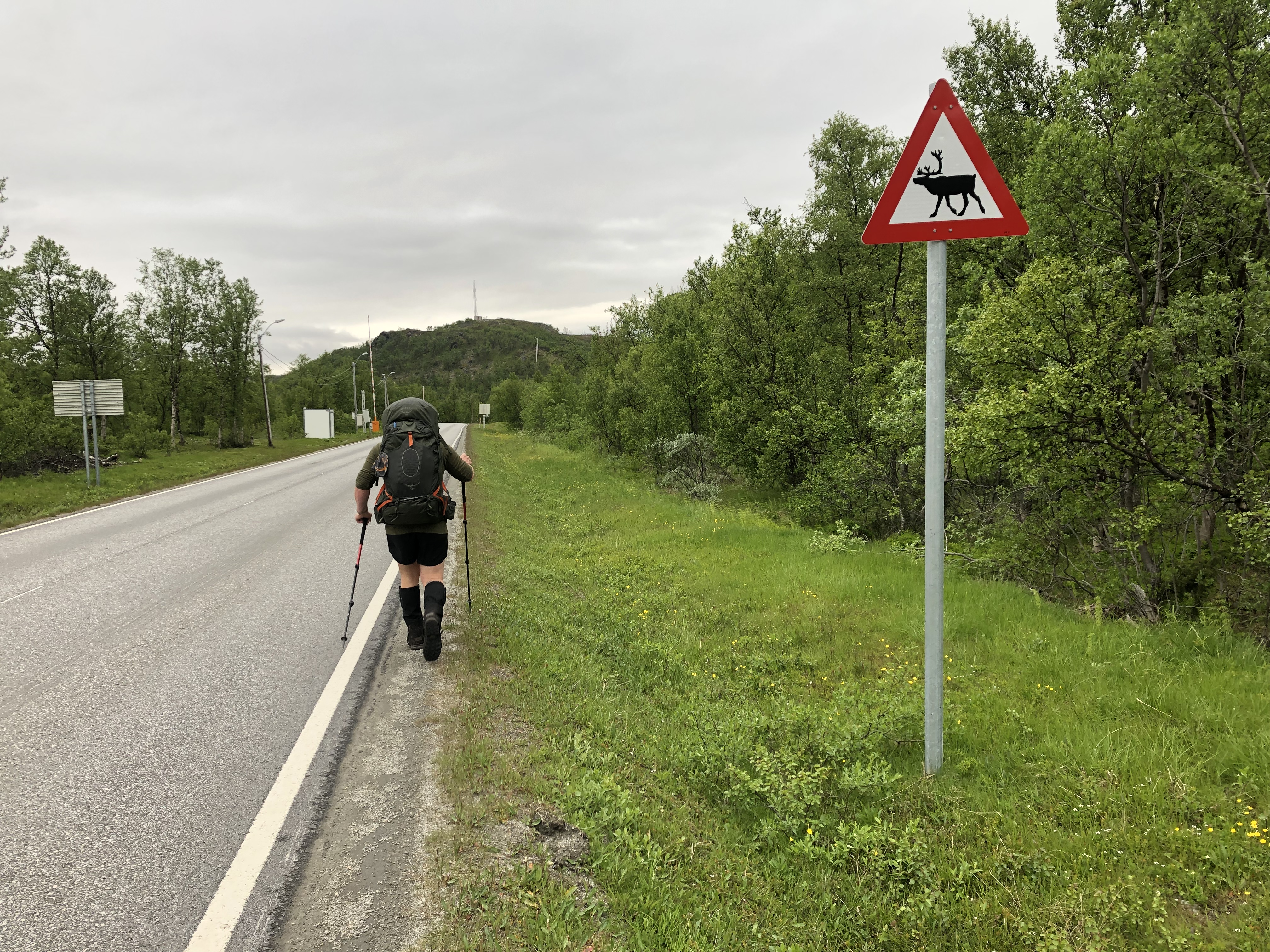
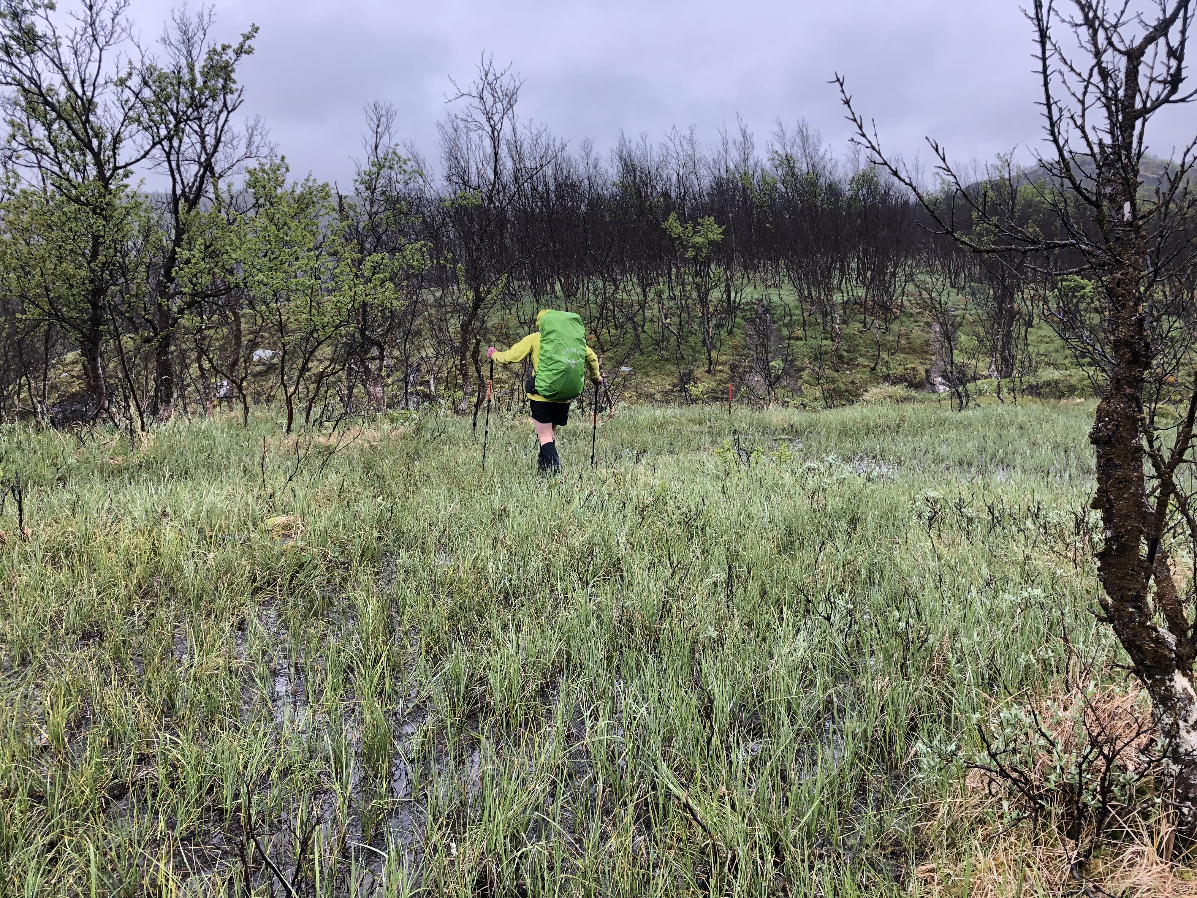
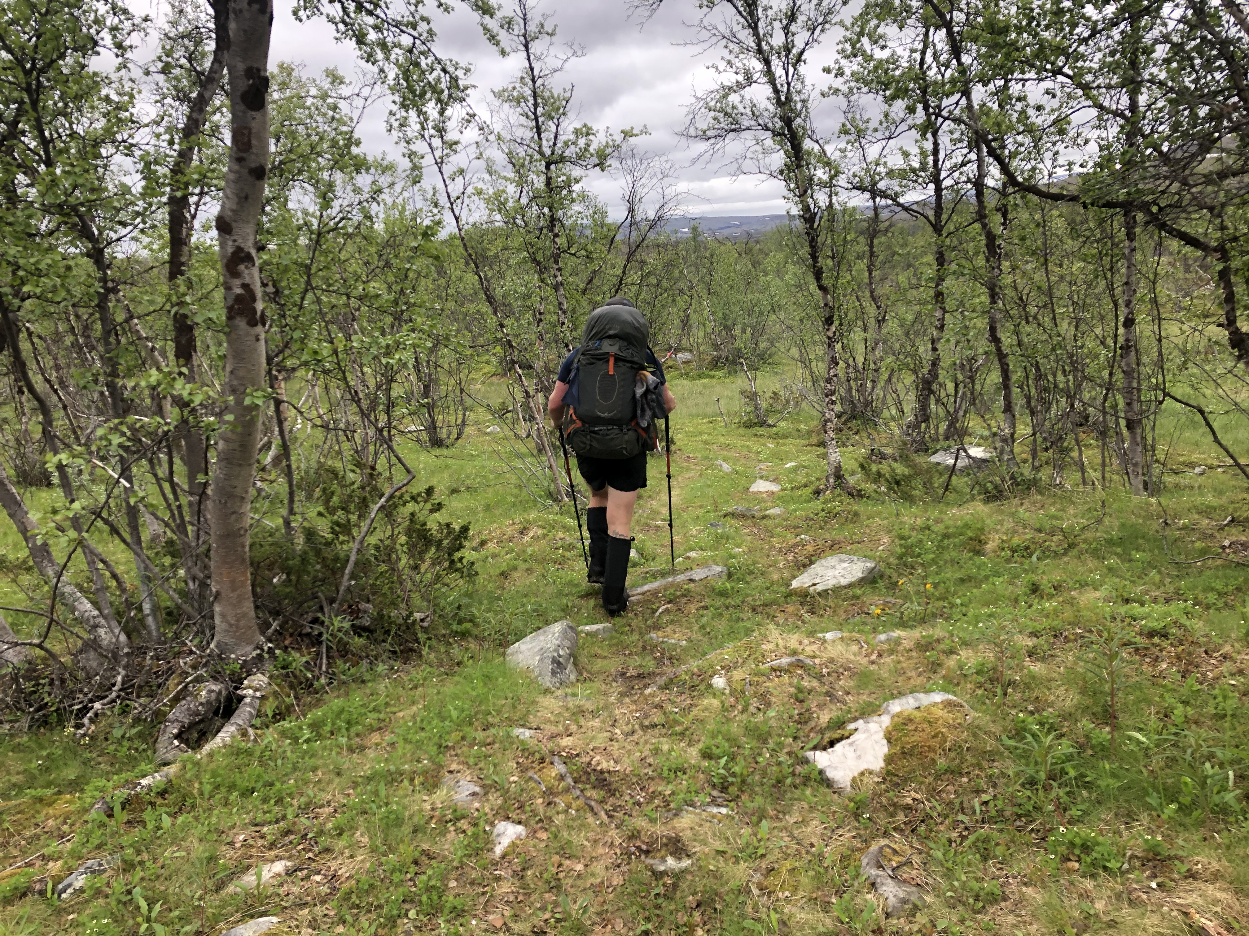
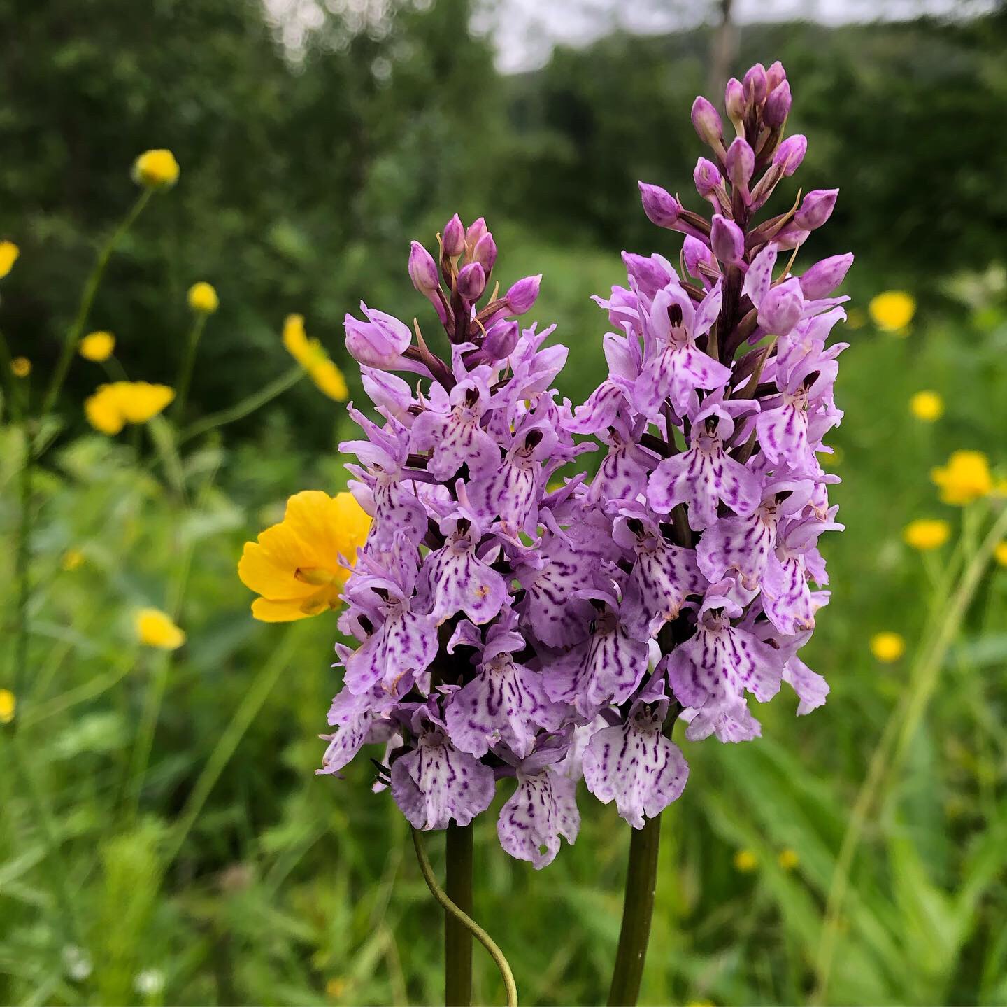
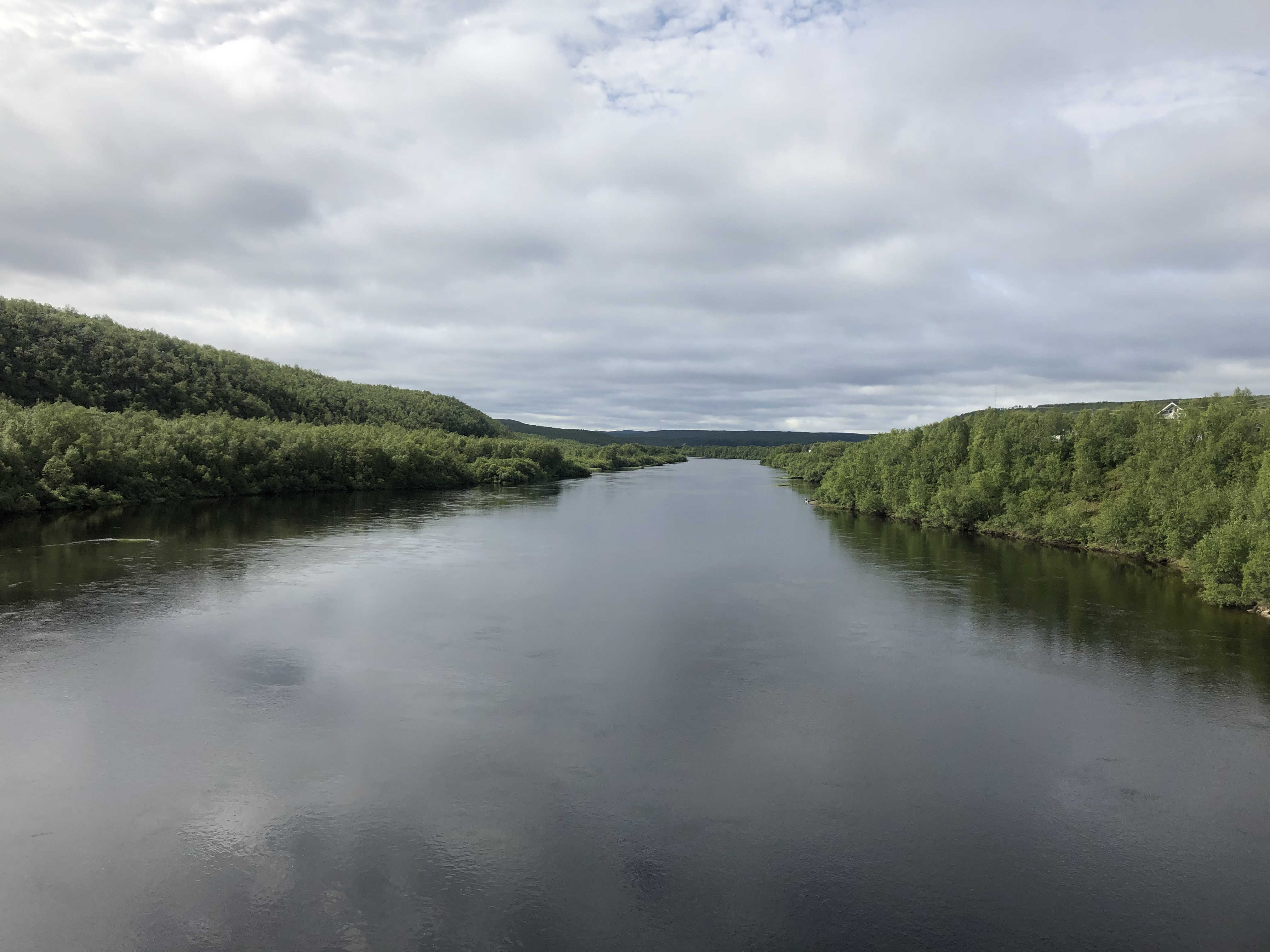
The first 5km out of Olderfjord is road, you then head into a green valley of birch and songs of birdlife, the heather turns to grass and a range of wildflowers appear.
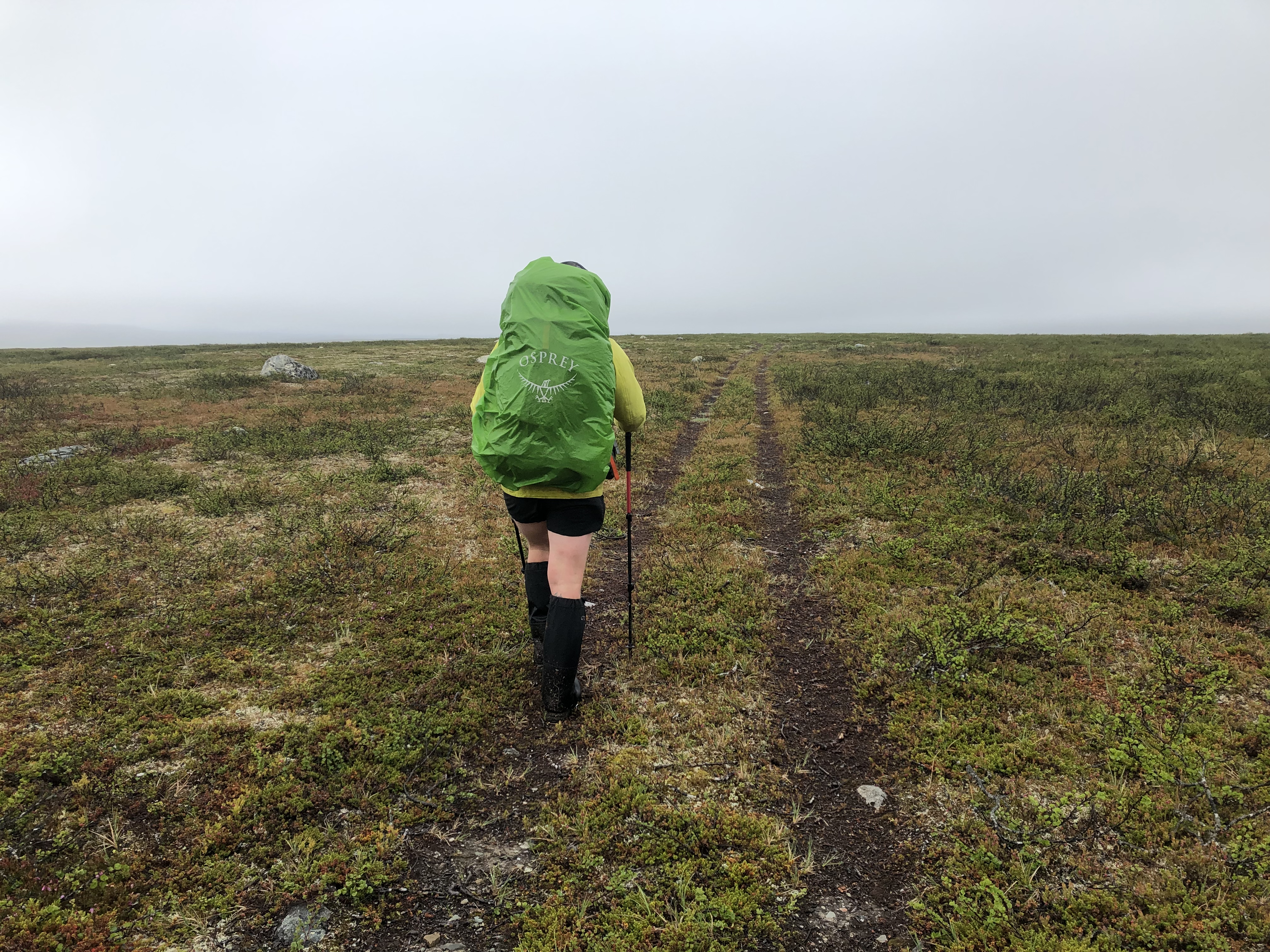
But with more green comes more water, bog mud and wet feet is a common story through the first half of this section.
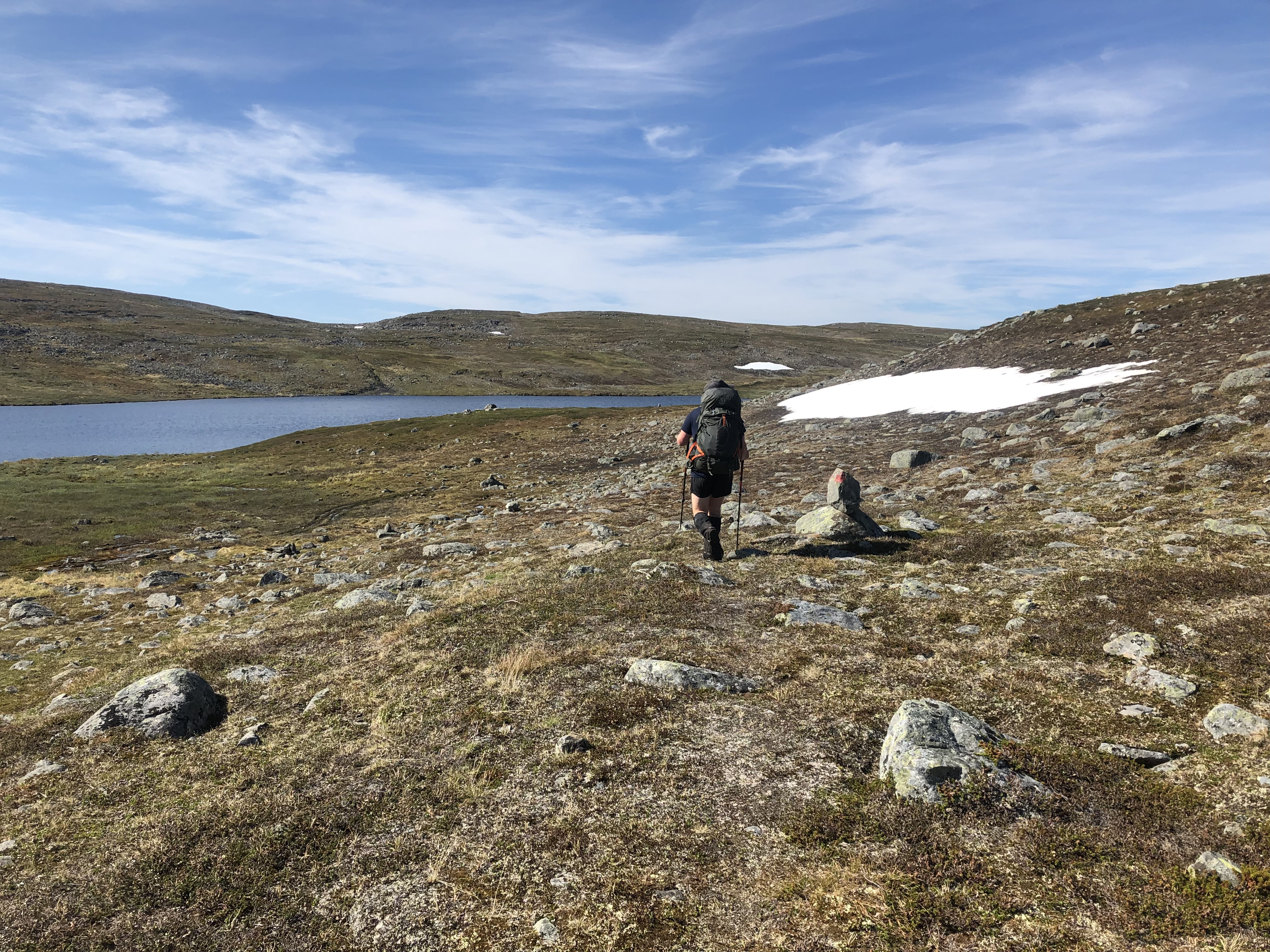
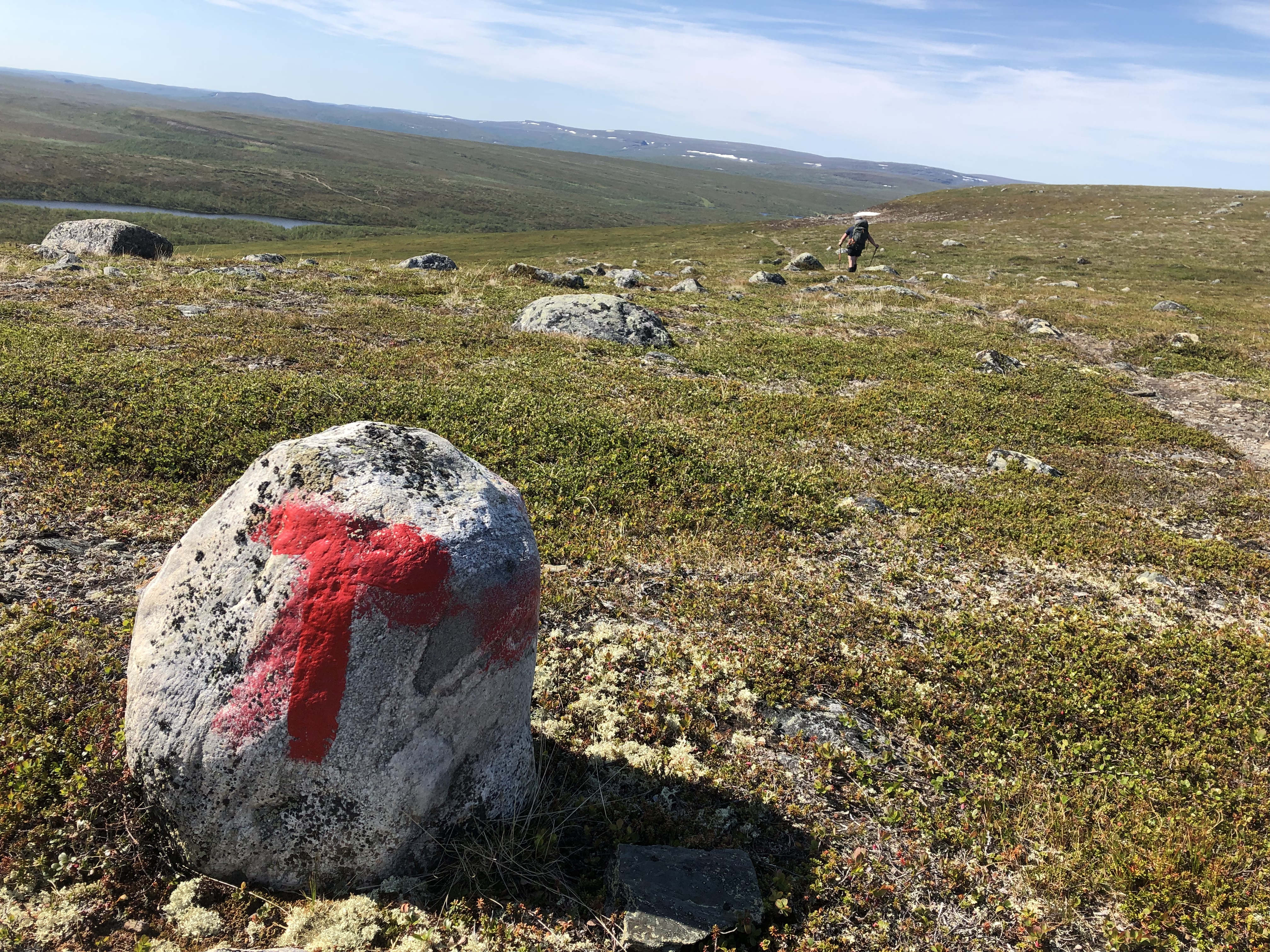
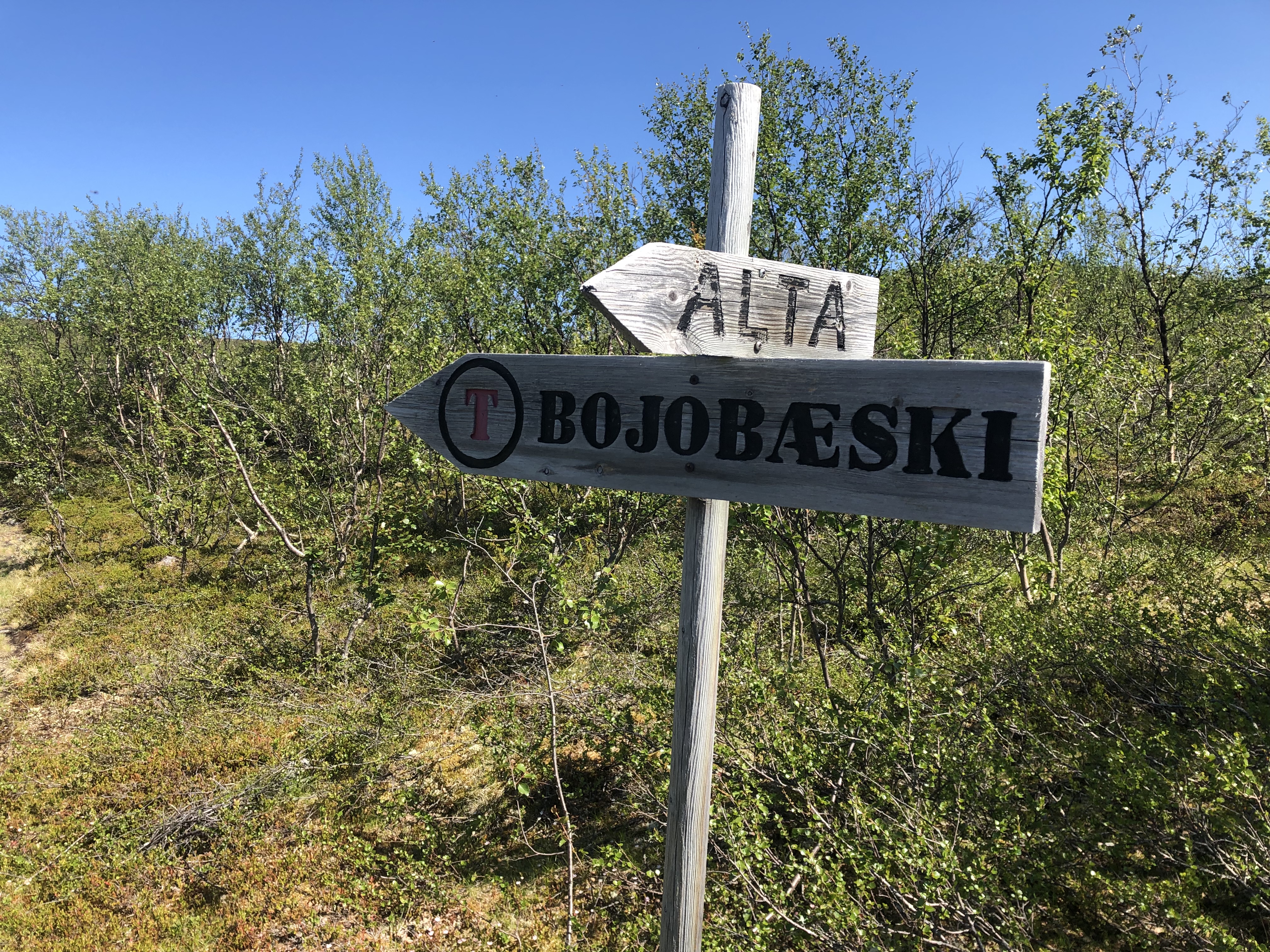
The green valleys open back up to wetlands regularly and at the Bojobaski hut, we made an alternative high ground route to escape the wet and Mosquitoes.
This route leads you up to 500m and into the dry mosquito-free hills, you then drop down to an open plan dry and a straight forward gravel road leads you all the way to Masi.
This route had so many advantages, great views, better climates in these valleys, a lot dryer and no significant river crossing and a whole day faster.
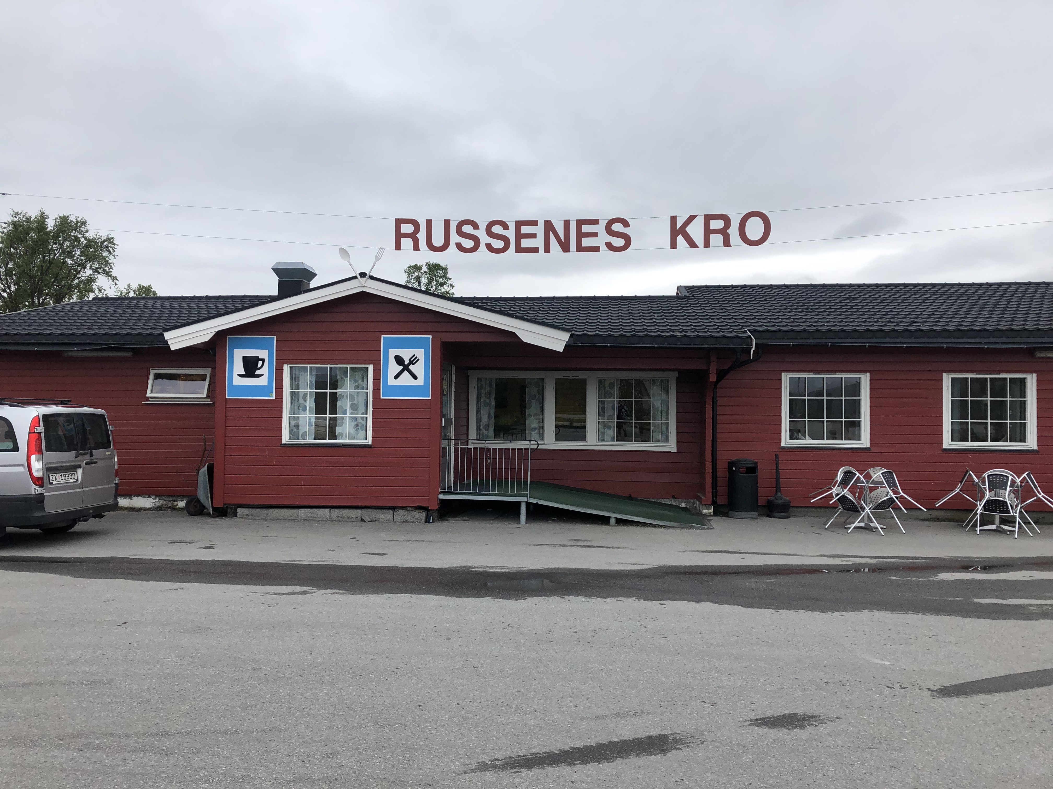
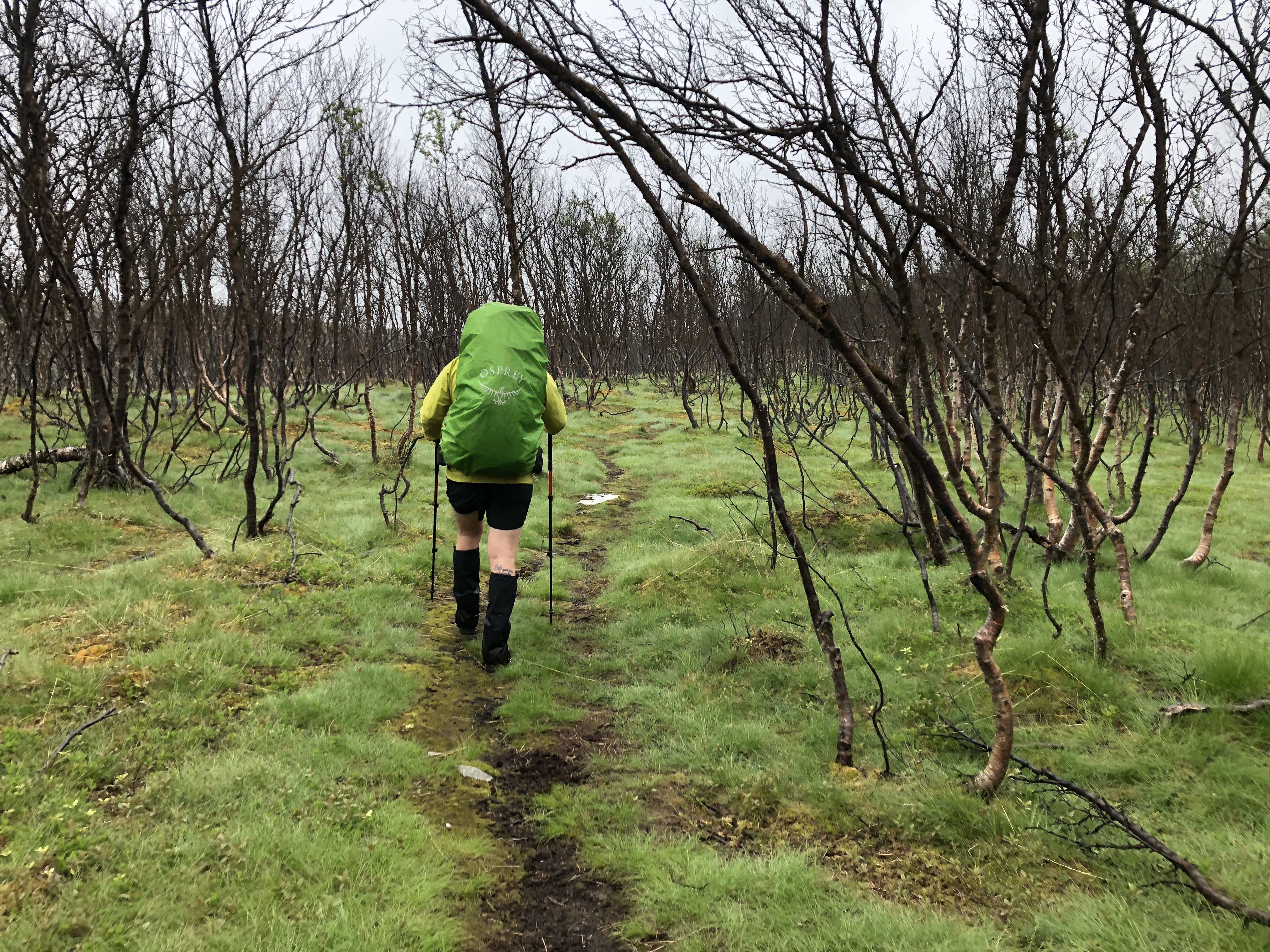
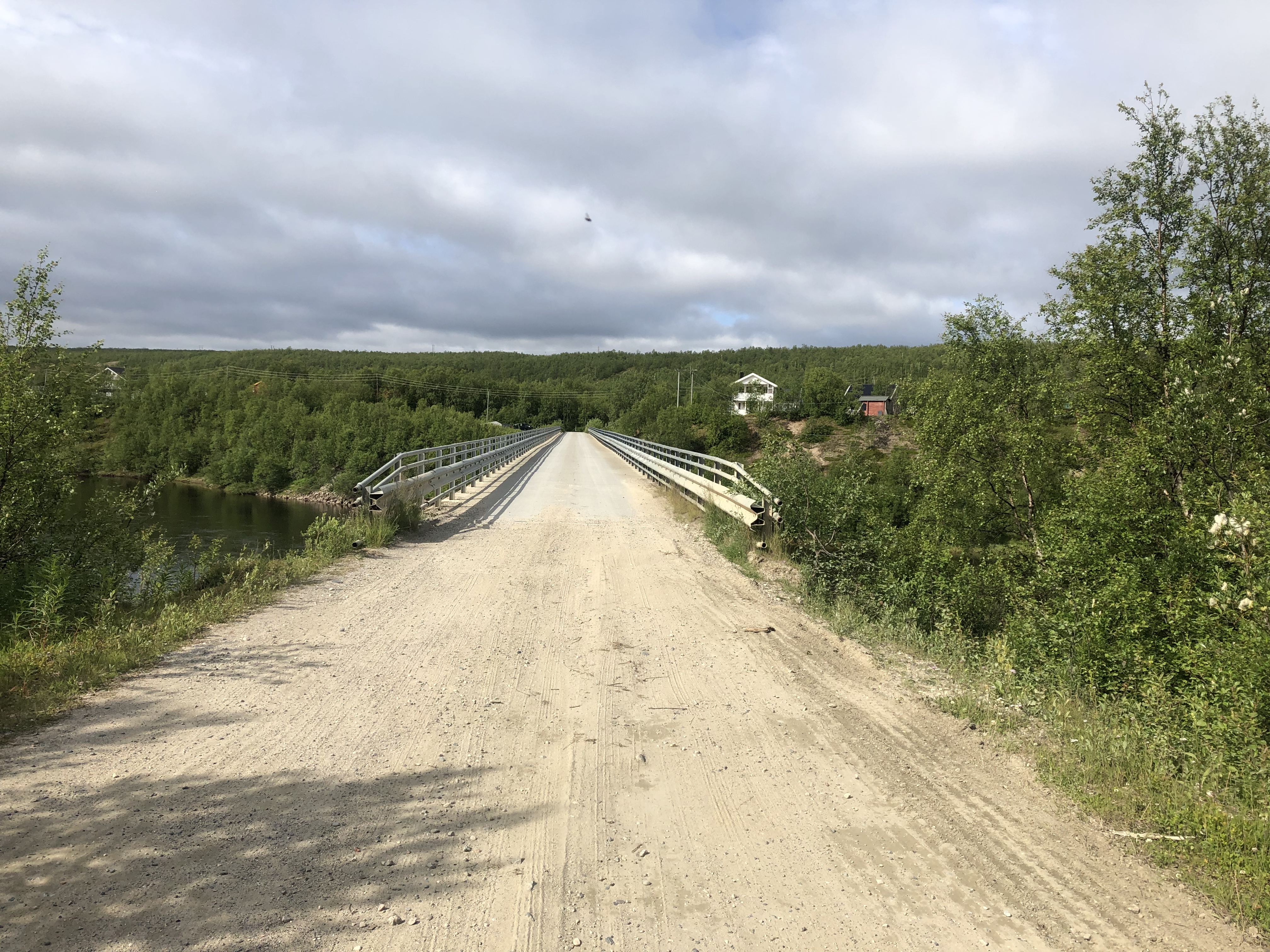
Out of Masi is a road walk to the trailhead, back into wetlands and a lot of mosquitoes, some short ridges, and nice lakes. The final 30km is mostly following a gravel road into Kautokeino through sparse birch forests filled with small lakes and wetlands
*This video covers the first two weeks on trail, all the way from Nordkapp to Kautokeino. Enjoy!
Travel journal
Day 7: Olderfjord to Gälcaćohkat
Distance: 21.3 km
Weather: cloudy, gray and drizzly all day
Slept in a little and just as we were ready to go we realize we had forgotten to download the Gaia maps for the next section! Major ooops! We are headed into the backcountry for 9 days so we definitely need maps! Thankfully we still had cell reception so we could download them now. We sought shelter from the rain and wind under the eve of the shed of a nearby house, someones holiday cabin, luckily no one was home.
On trail an hour later we battled through the muddy and wet trail for higher ground that never came. The whole day was more or less a slog though boggy never-ending wastelands. Boots held up ok, kept us feeling dry and warm but a bit damp at the end of the day. Good effort though given the terrain. Feet are not loving it though… we both have big toe issues with some skin coming off. Taping them up as good as we can.
I am not going to lie, it was a hard day. It felt like each step was as deep as long in the marshy ground and it really zaps your energy. We need to make a minimum of 20 km per day through this section. We did that and some today which felt good.
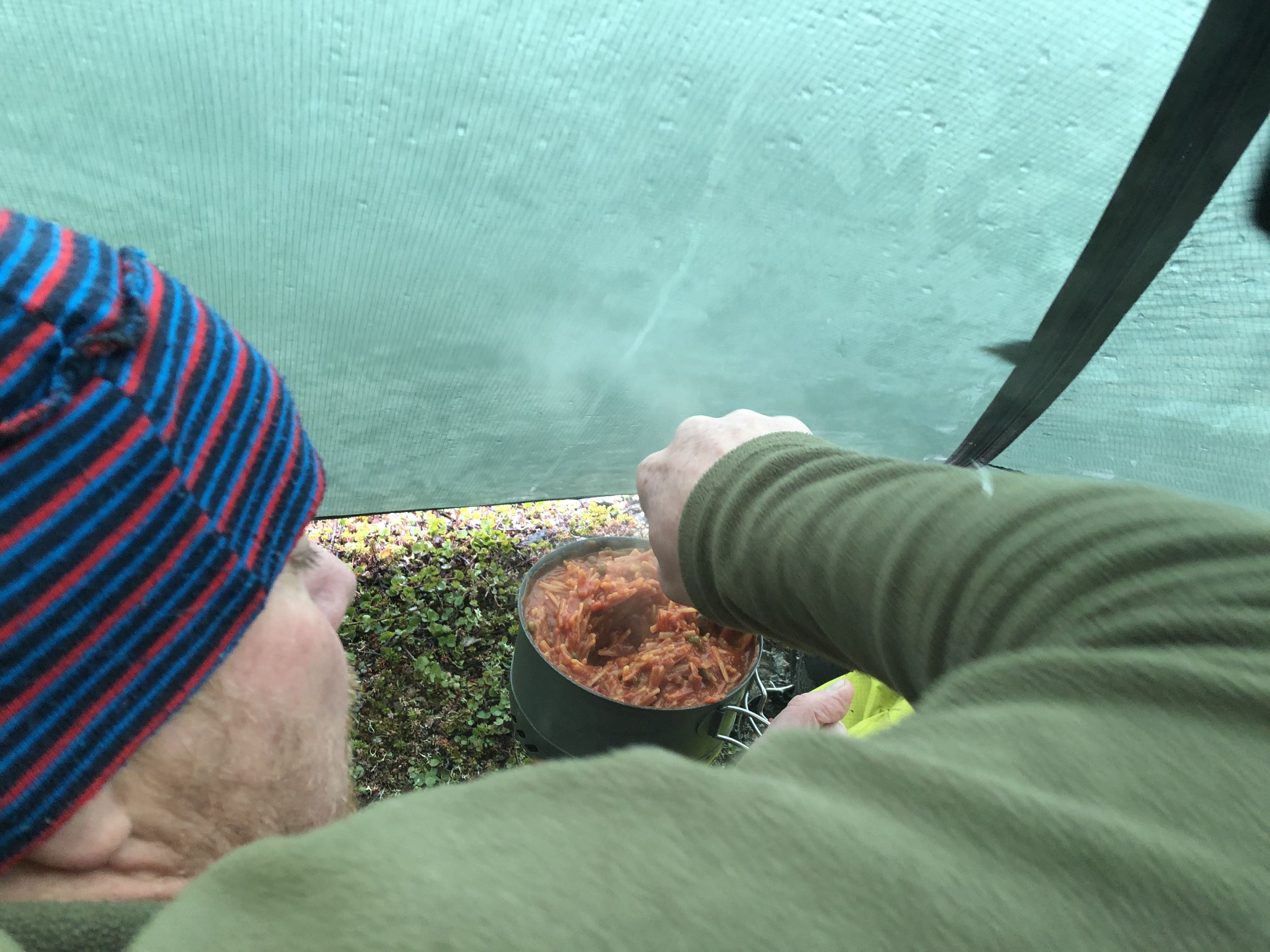
One highlight every day is dinner. Fingers crossed our resupply choices works out. Master chef Scott is working on the first option now… thai rice. Yum!
Day 8: Gälcaćohkat to Stabbursdalen nasjonalpark
Distance: 22.3 km
Weather: cloudy, gray and rain in the afternoon
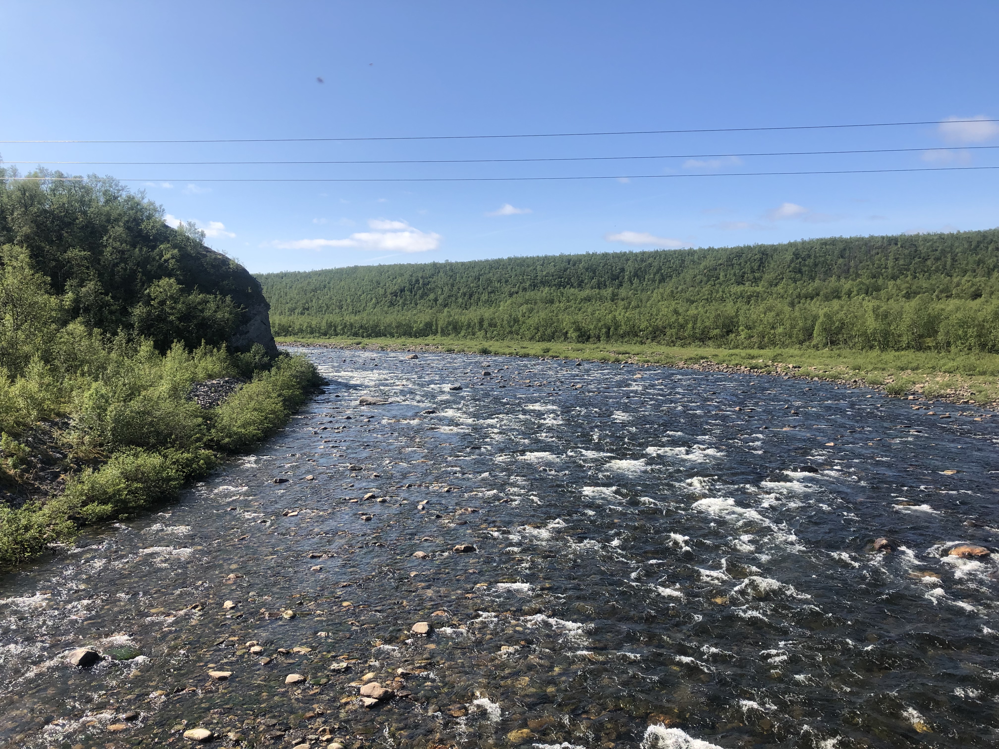
Lots of wetlands today too, but it did not feel as hellish as yesterday and we pushed on through it with wet feet. Countless river crossings, some pretty big, but we managed to rock-hop them all. Oh and Karma almost fell into a bottomless sinkhole… other than that the day was pretty uneventful.
It was a pretty good day until the last hour when icy cold rain started swept in. We are pretty tired of the rain in general and would really like a little bit of summer now, please!
Karma is struggling a little bit staying warm at night. We have accepted that Karma’s sleeping bag (Western Mountaineering Alpine Lt) has done its dash. We have maintained it but it has done about 350 nights by now and it has lost most of its fluff. So we are zipping it together with Scott’s new WM Terra Lt bag using the old bag in the bottom and sharing the warmth on top. Nice to snuggle but not as warm as it is hard to seal the bags for drafts. Still warmer for both of us this way. We definitely need a new 3-season bag. Maybe even a couple of warmer bags for winter? We’ll be walking along the UK south coast into France in December-January, that will be cold!
Day 9: Stabbursdalen nasjonalpark
Distance: 28 km
Weather: cloudy, light wind
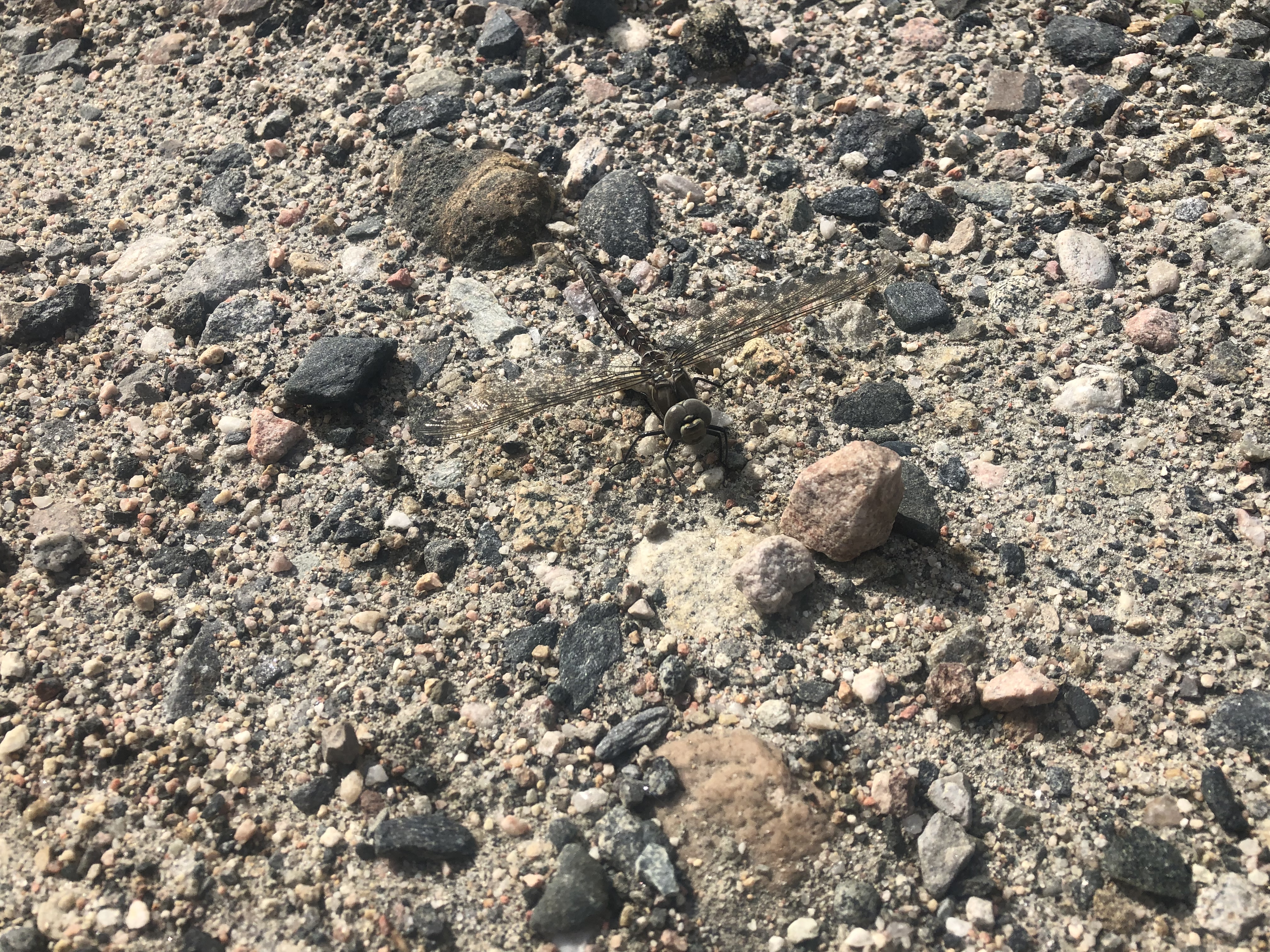
Woke to a calm and warm tent for once. No wind, considerably warmer temperature — and mosquitoes. Pretty much the first we have seen on this trip due to the weather.
We got a neighbor late last night. A young German guy camped about 50 meters up from us. We chatted a bit before moving out this morning. Saw him behind us for the first few km then never again.
It was a lot warmer today. We walked in t-shirts for the first time all day. Mosquitoes were really annoying on and off so we really welcomed the sections when the wind picked up enough to blow them away. Could be lots worse though, but we are just not used to them yet.
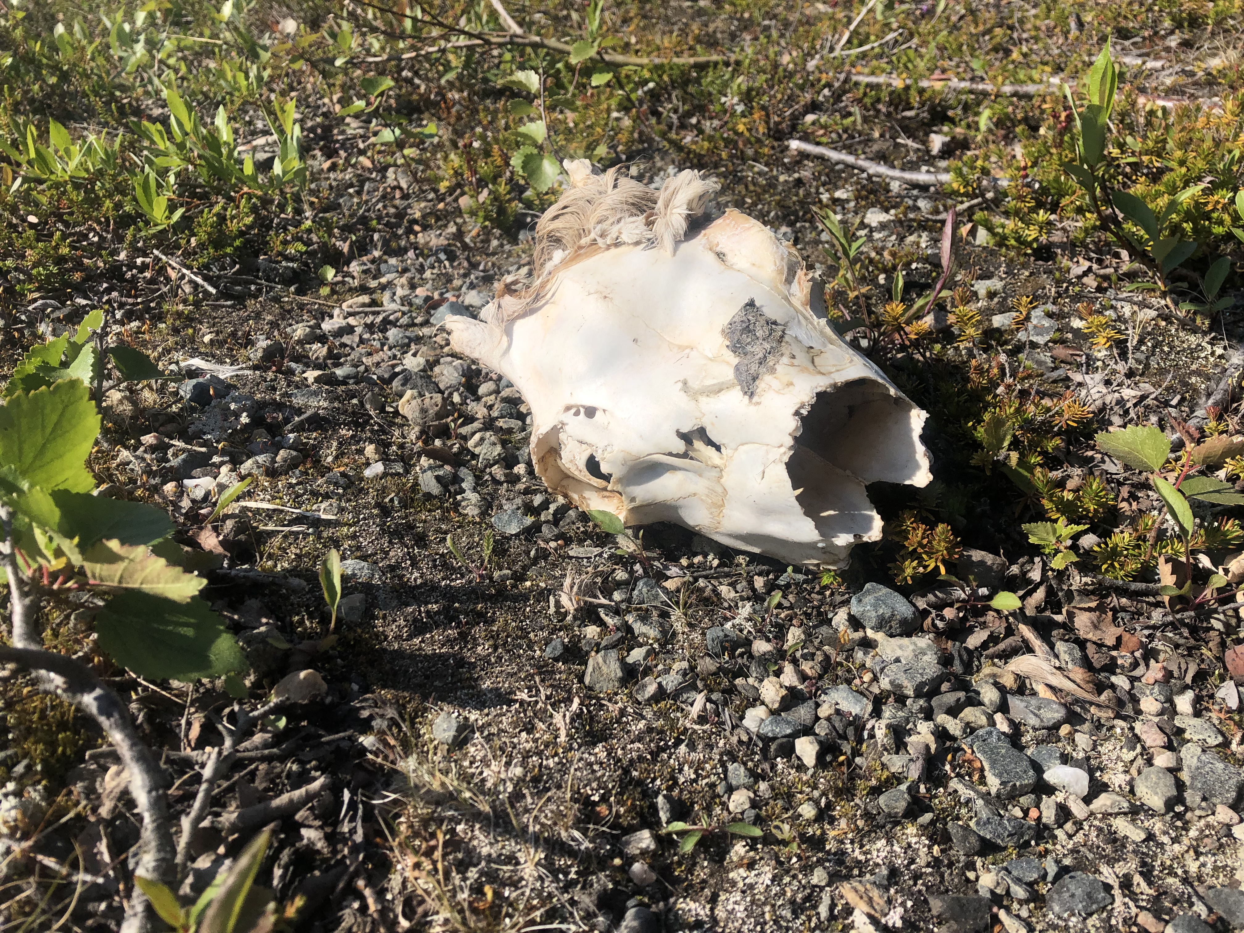
Scattered a family of grouse nesting near the trail. Pretty cool how the pair coordinated. Mom ran off in one direction with the babies while dad played decoy making all sorts of racket, we even thought he might charge us at one point. We saw some fresh moose tracks too, so we kept an eye out but did not see any.
A bit frustrating section to navigate. Not as clearly marked as earlier. A few downright misleading markers and then we opted to follow the gps track instead of the trail markers and had to slog over some more wetlands and willow thickets to get back on trail again. Oh well. We are slowly finding our trail legs again and we are making good time for the terrain, averaging about 4km/hr.
We did a pretty long day. Camped up and spent some time freshening up and tending to our feet. They are holding up ok considering we have been walking with wet feet battling bogs for three days.
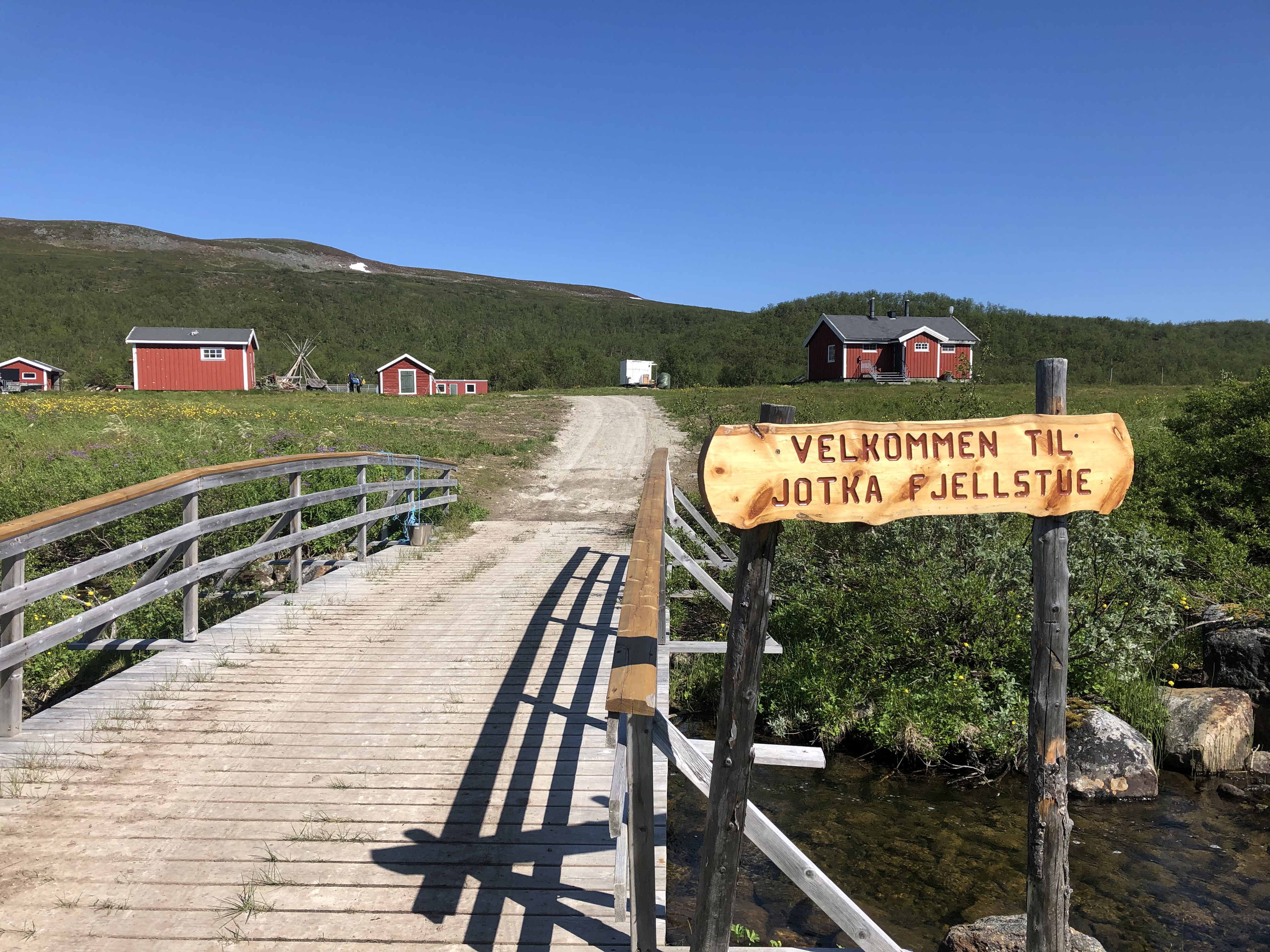
Day 10: Bojobaski hytte
Distance: 29 km
Weather: cloudy, light wind
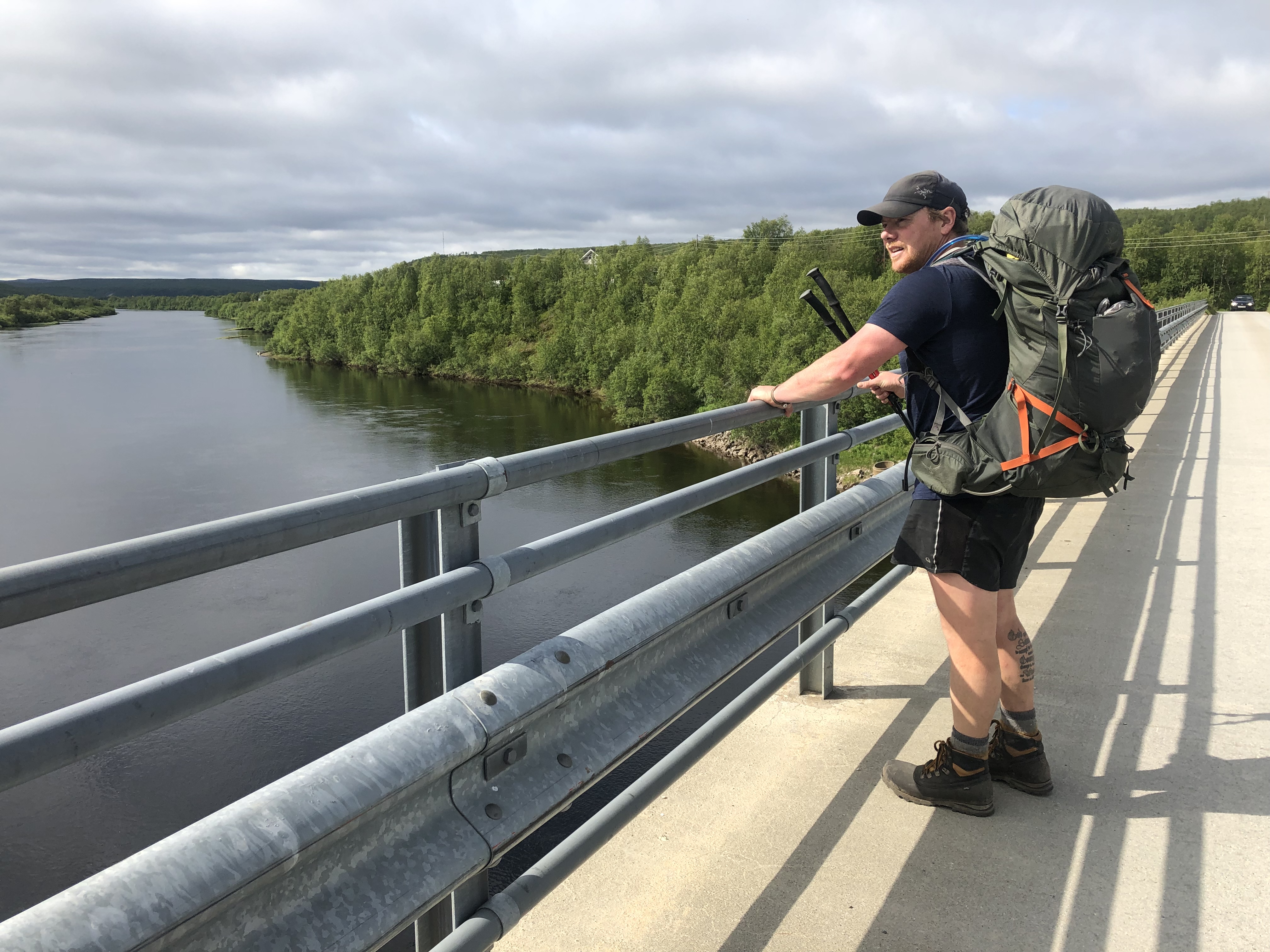
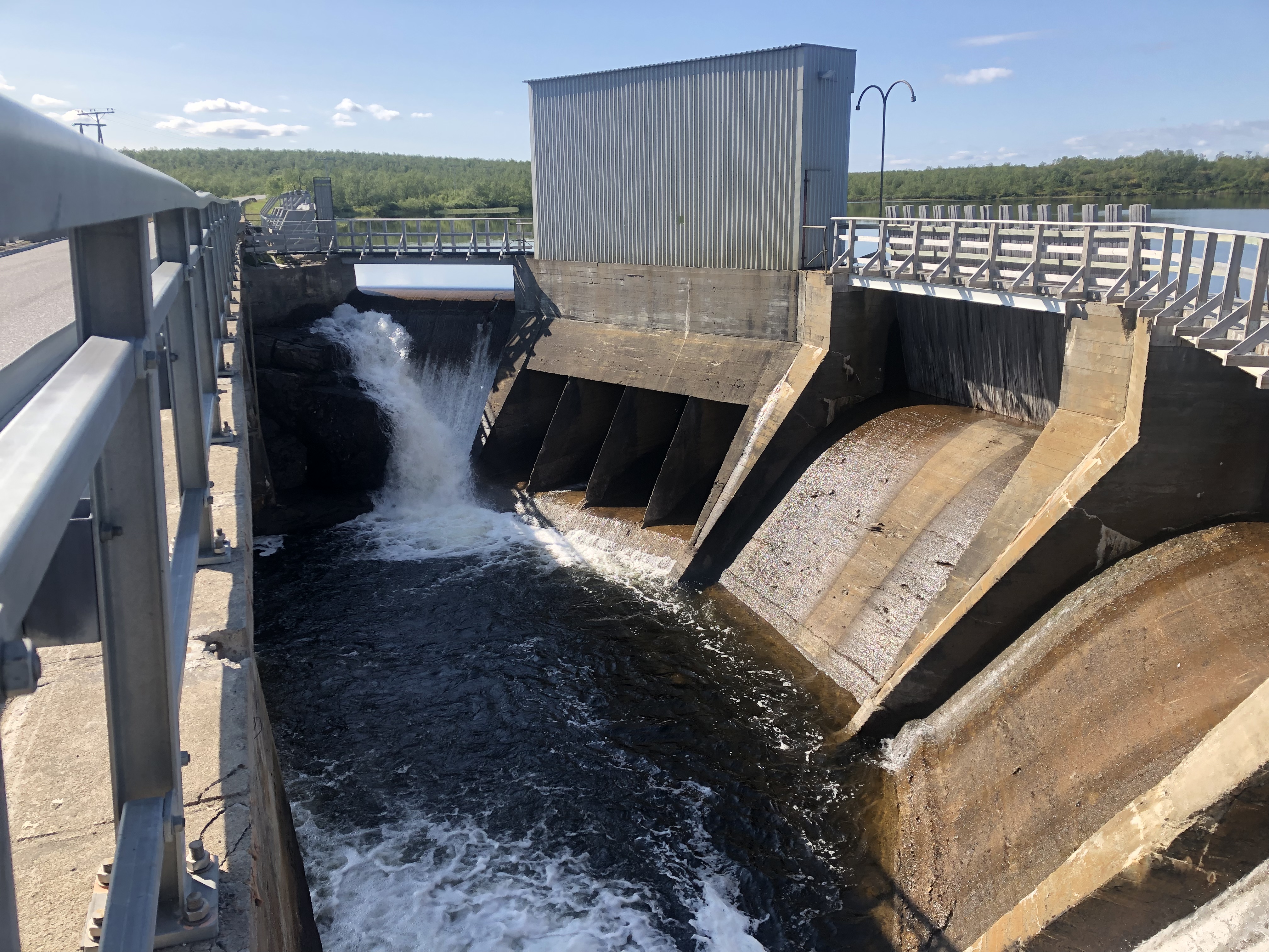
Woke to rain but it cleared and then it stayed cloudy for the rest of the day. We had hoped to keep our feet dry today, but about 2km in we had a river to cross and the water went well over the knees. The most annoying part was the spectator on the other side. A reindeer herder on an ATV, who just parked up to watch us cross.
We pushed a long day in our wet feet though the never-ending wetlands. Just when we were ready to call it we entered into mosquito hell! They were everywhere all of a sudden! And then, hallelujah, a DNT hytte! We thankfully piled in and made a fire to dry our wet socks and boots. Our boots are amazing for normal wet and most river crossings. But several days in the bogs have finally gotten the best of them.
The big toe blisters we both have developed after all these days with wet feet has gotten worse too. We made a saline foot bath and decided to take a rest day in the hytte tomorrow to properly dry everything and give our feet a break.
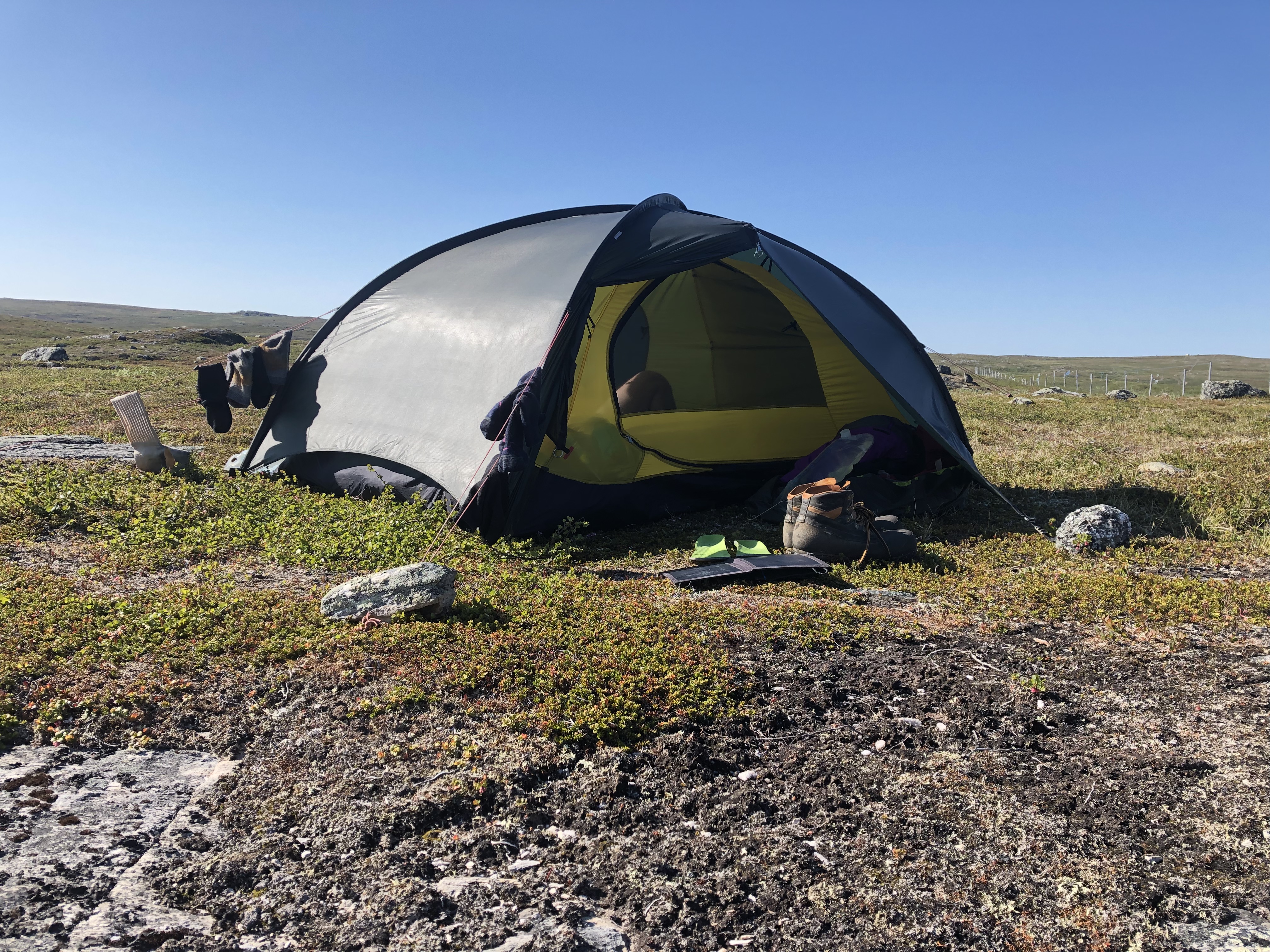
Day 11: Bojobaski hytte
Distance: 0 km
Weather: sun and clouds
Taking a zero in the hut to dry gear and rest up a bit.
Day 12: Dåvgoaivi
Distance: 27 km
Weather: sun and clear blue sky, light wind, nice temp
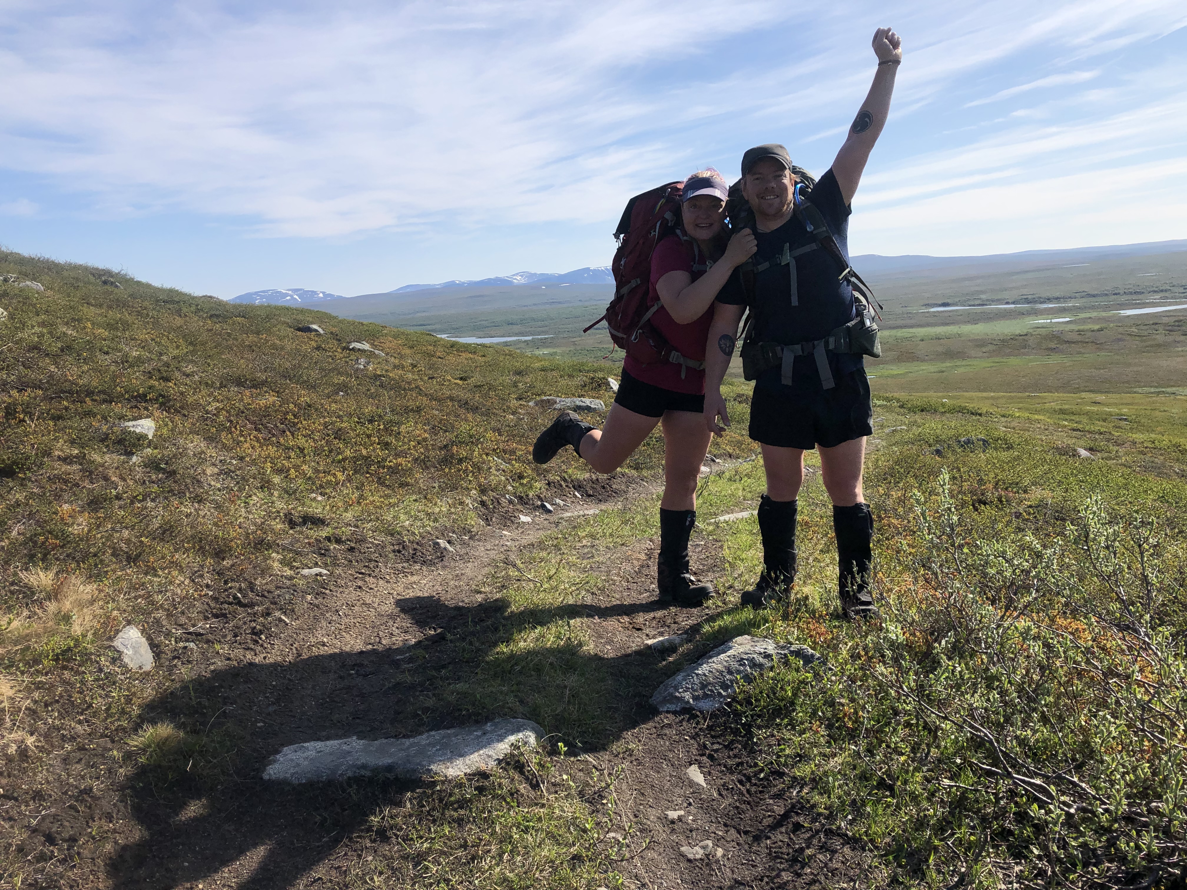
Woke to sun, sun glorious sun! Clear blue skies for the first time on this trip! The rest day had done wonders for our battered toes and they looked amazing. Ready to take on a new day!
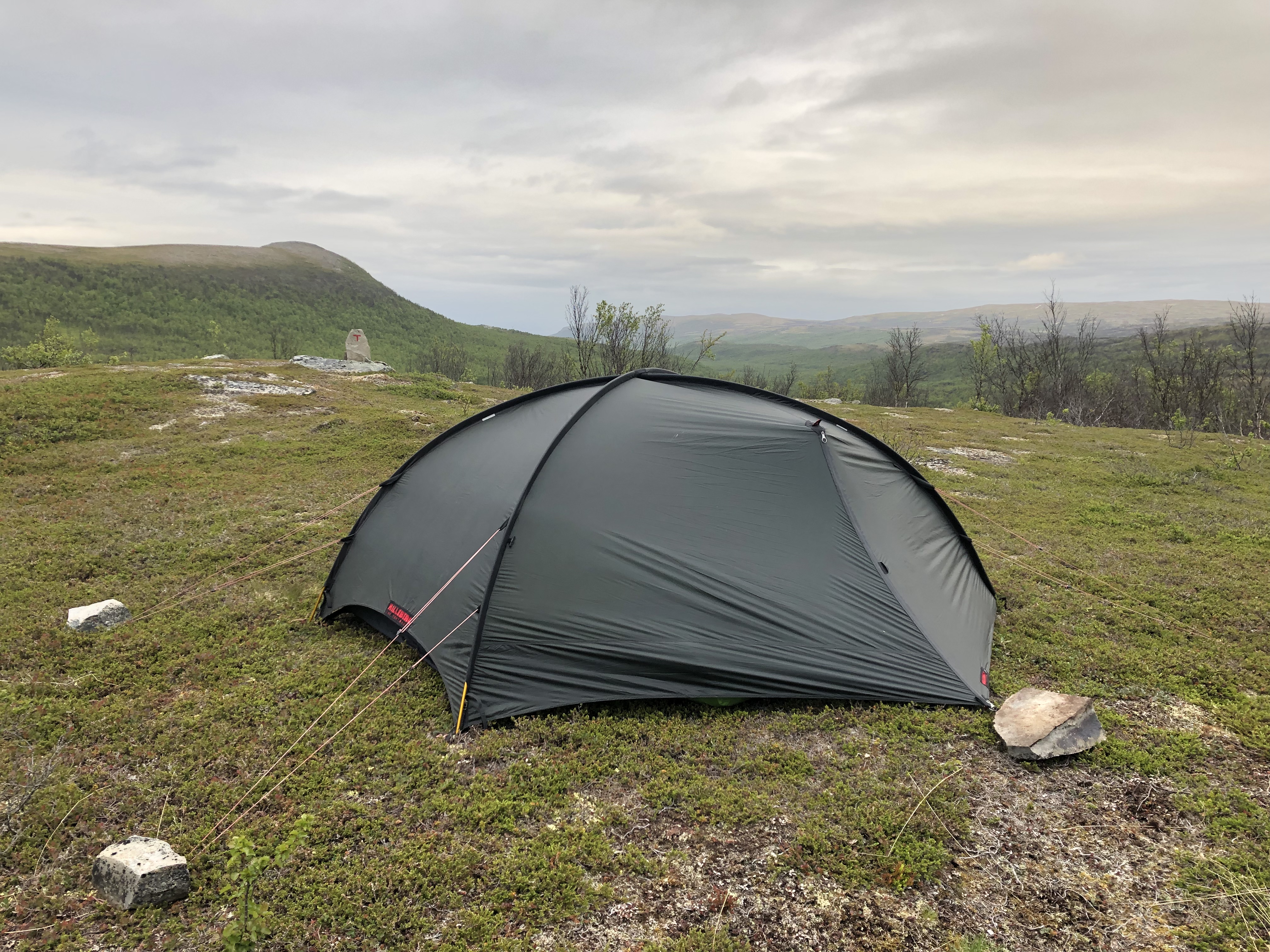
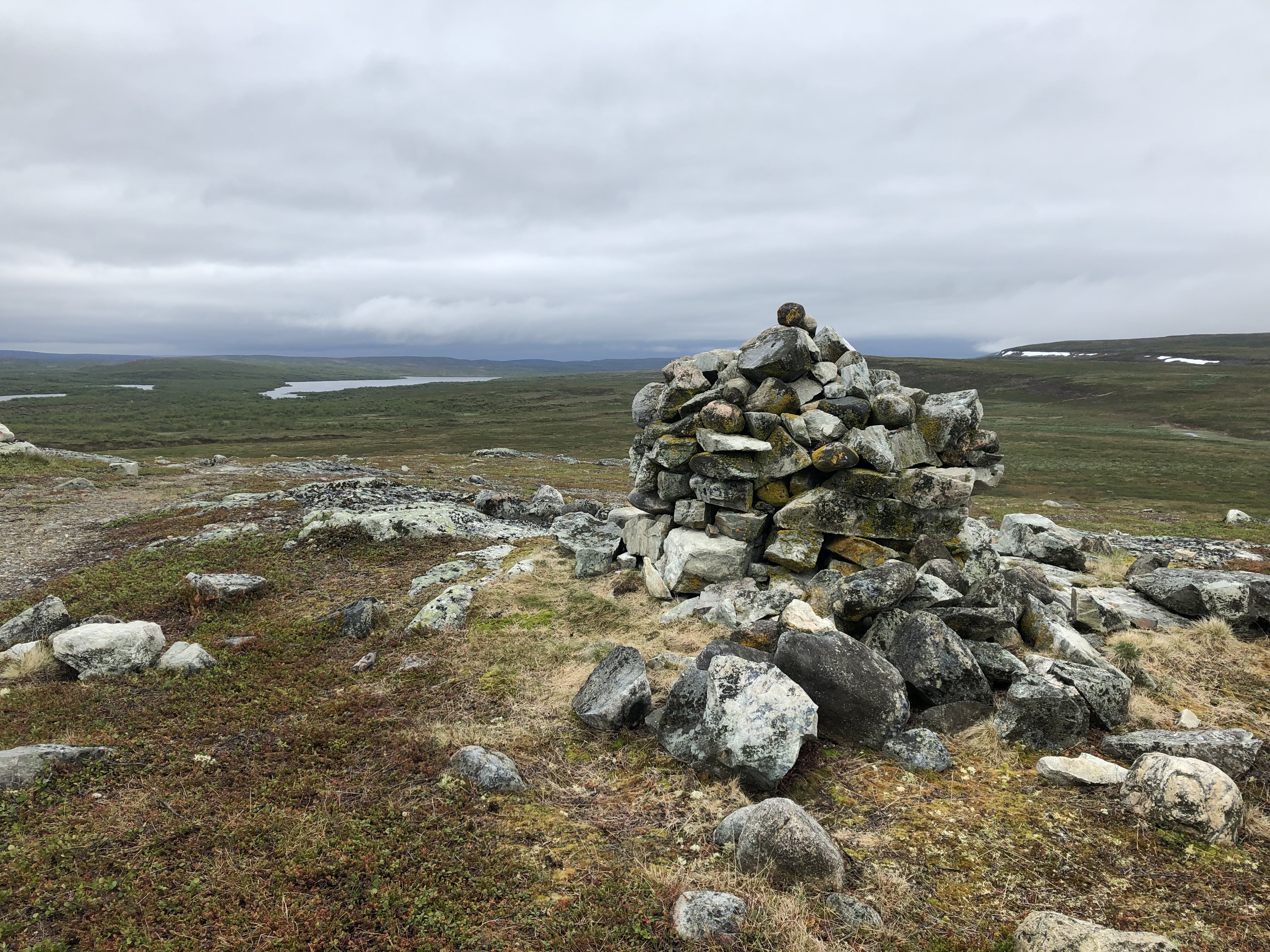
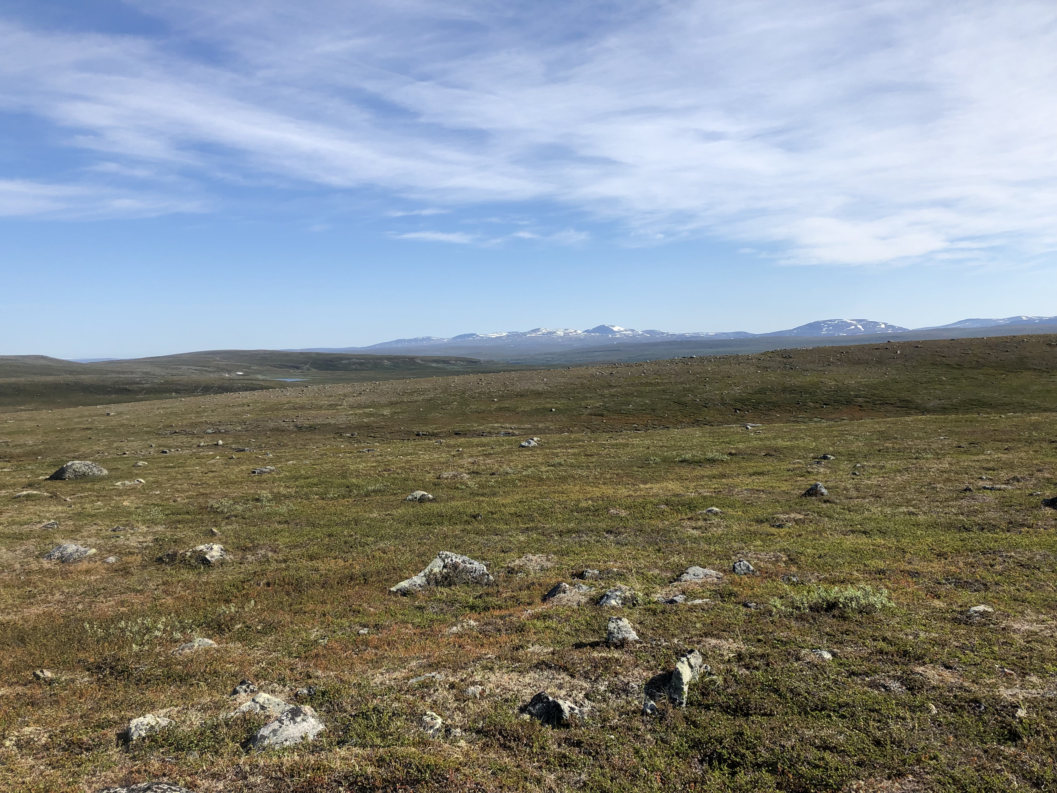
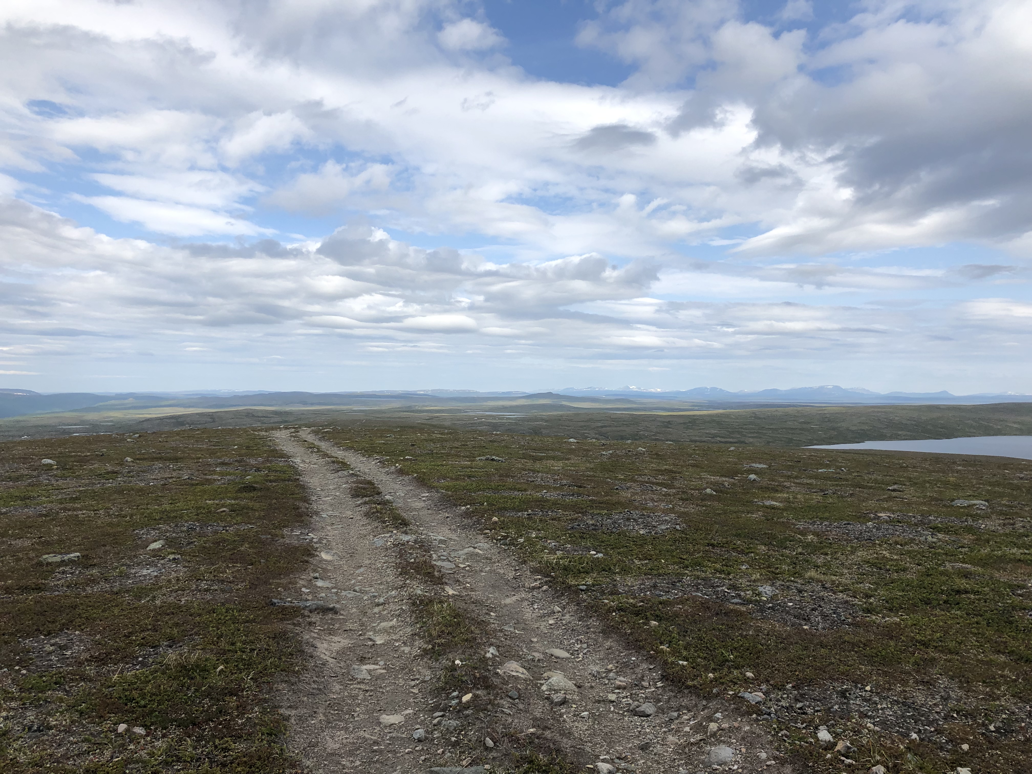
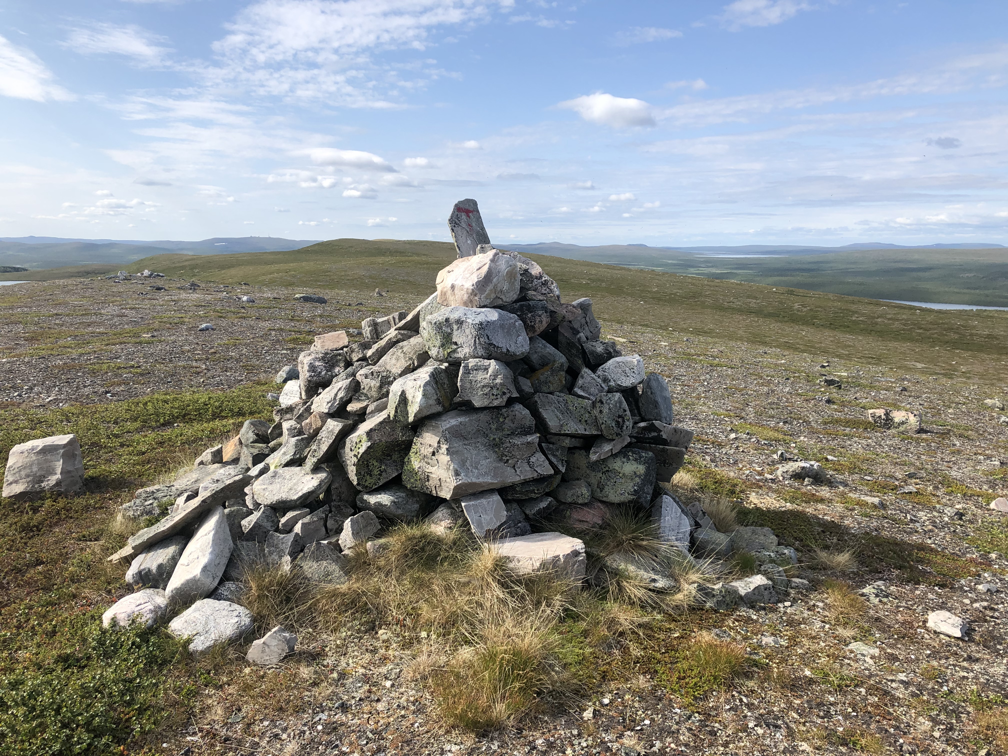
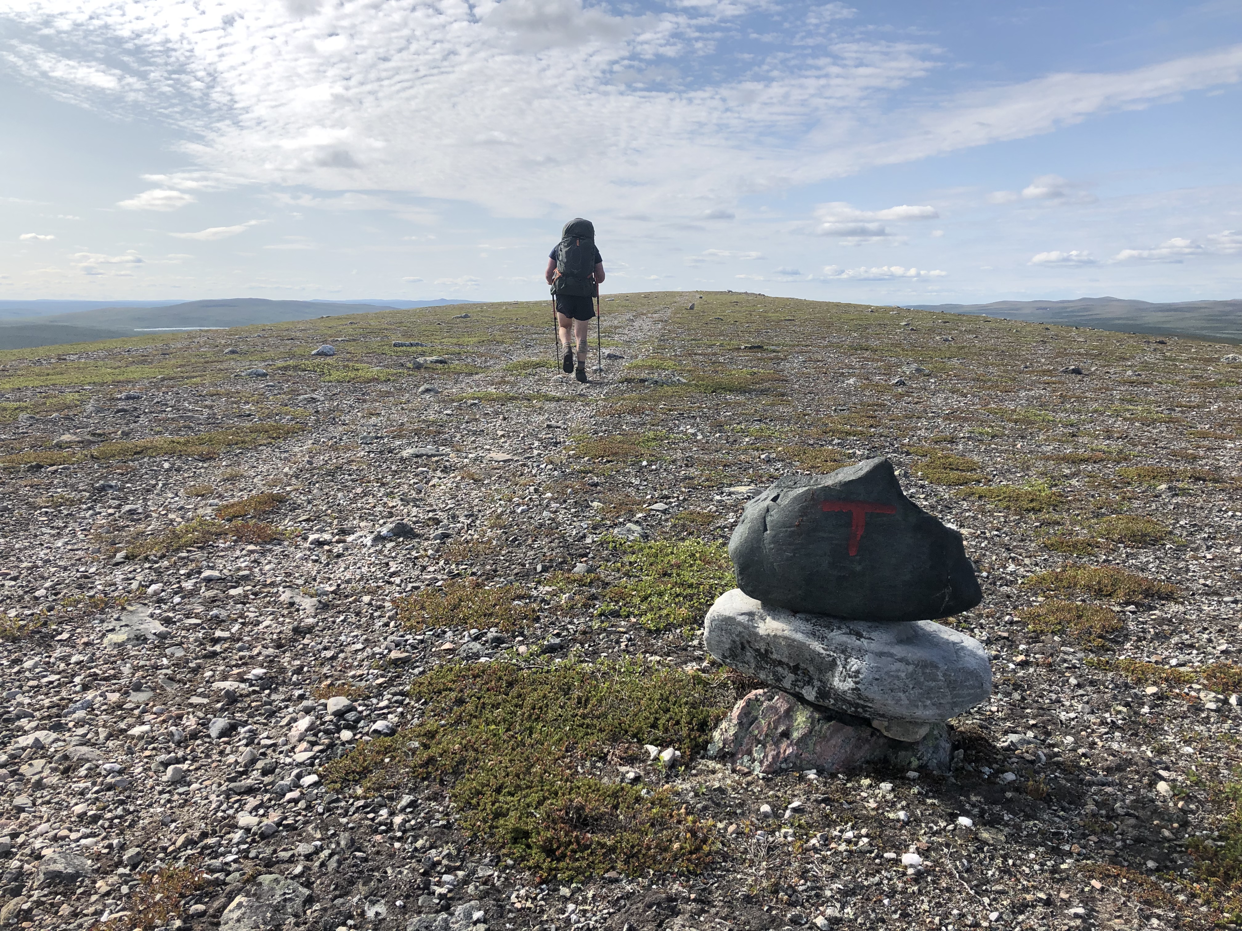
We left the hytte by 8:30 heading up an alternate route to the E1. The original path goes low, through wetlands and includes several major river crossings. The late summer has left rivers high and the ground very waterlogged, so we decide to head for higher ground. We worked out a new hight route along the ridges instead. Out of the mosquito-infested valleys and best of all, up on dryer ground! We enjoyed a beautiful day up in the mountains.
Day 13: Latnetoaivi
Distance: 20 km
Weather: sun and clouds, just enough wind to keep mozzies at bay
It was actually hot in the tent this morning! Imagine that?! We continued on our high route, sticking to the ridges and staying out of the valleys on our way to Masi. We could have made it there this afternoon but we have a resupply box at the post office and we would not make it before closing. So we did our 20 km and just camped up around 14. Chillin in the tent for a bit. After all, this trip is not so much about chasing the km, but rather enjoying our time out on trail
We had a really nice lazy afternoon/evening. Making Mexican wraps for dinner and watching a movie. A bit surreal. We actually forgot where we were for a couple of hours.
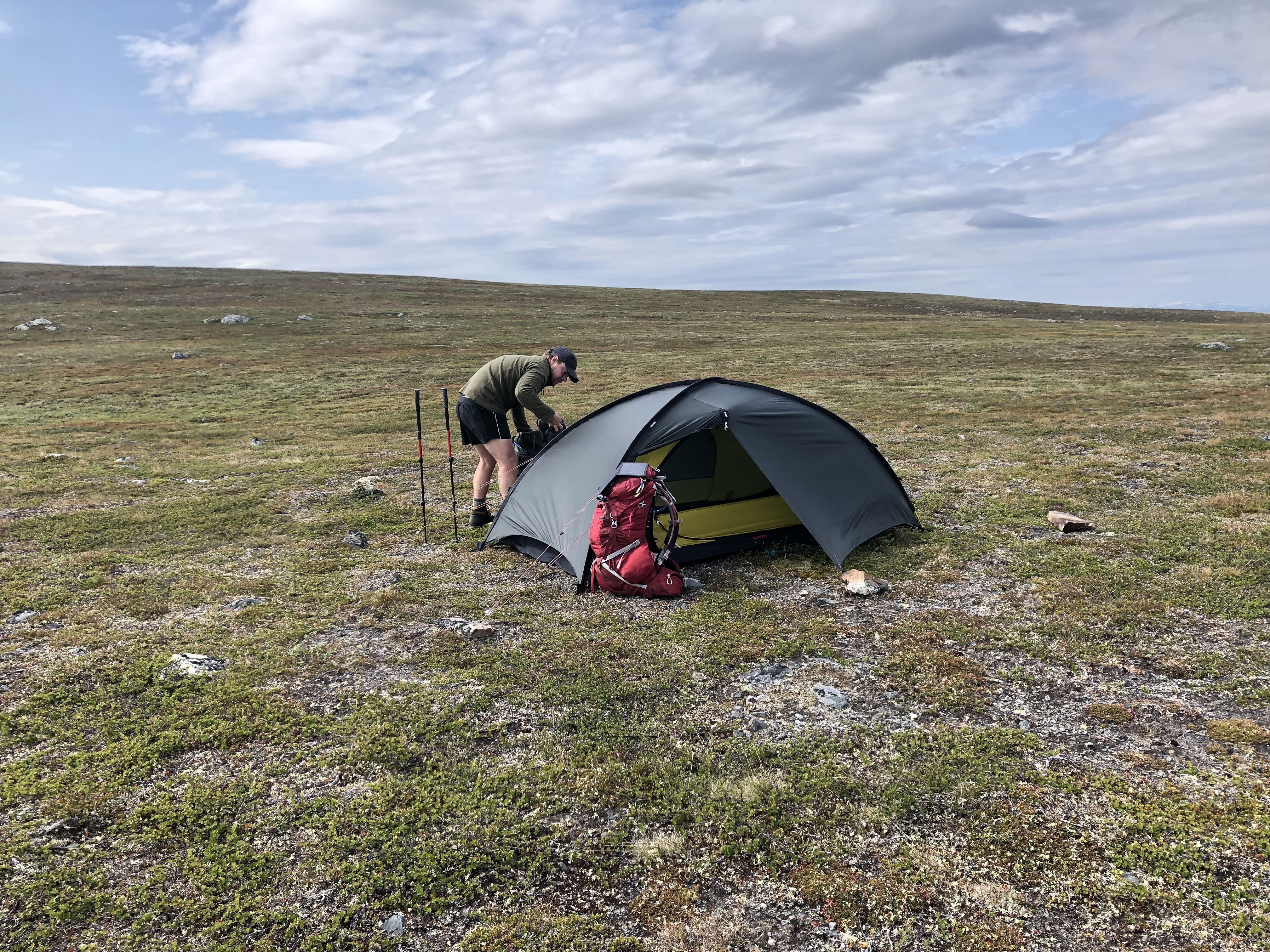
Day 14: Biggejávri Lake
Distance: 24 km
Weather: sun and a few clouds
We have found a nice natural rhythm on trail now. We wake around 7 and start walking at 8:30. Nice and cruisy. Without daylight dictating the daily routine (since it never gets dark) it feels good to have landed in this natural flow.
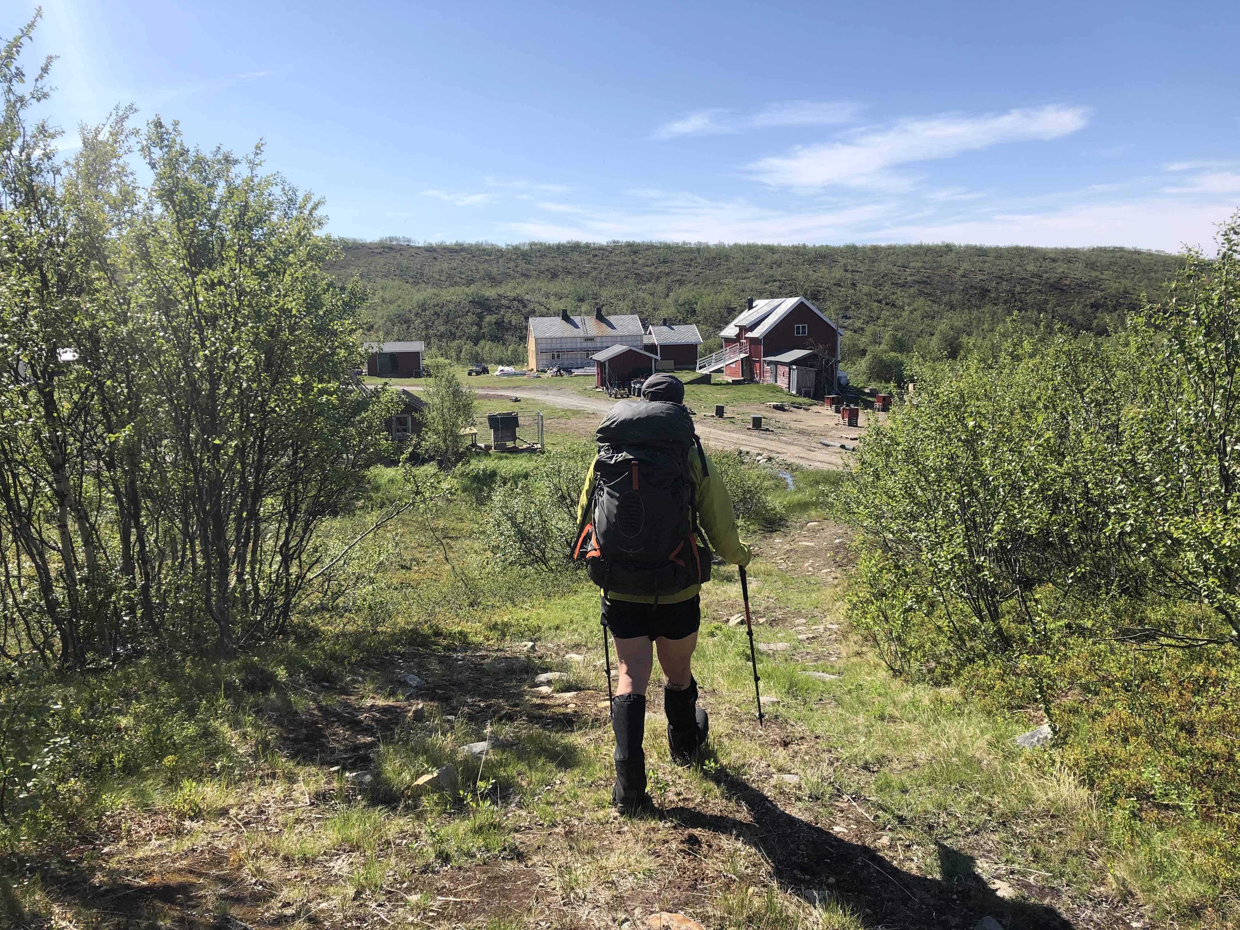
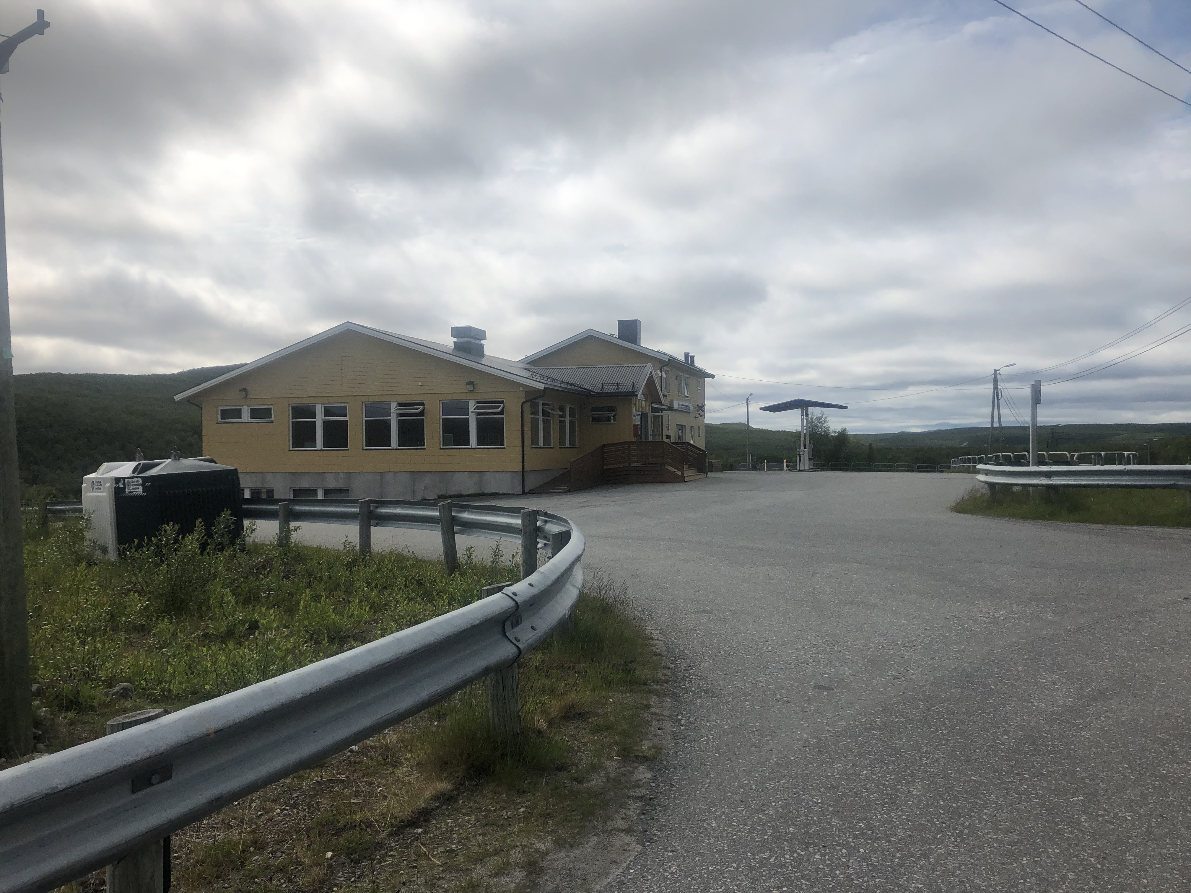
Picked up our first resupply box in the tiny town of Masi, pretty much just a handful of homes, a crossroads with a gas pump and small market/post office. The market was fairly well stocked though and we could have pulled off a resupply here in a pinch. We cooked up some fresh scrambled eggs for lunch before walking out, yum!
Beautiful sunny day, though no wind so the mosquitoes and these other really annoying biting flies were relentless in the valley! Huuuu… we may need to get a hiking shirt or something protective that is cooler to hike in than our rain jackets.
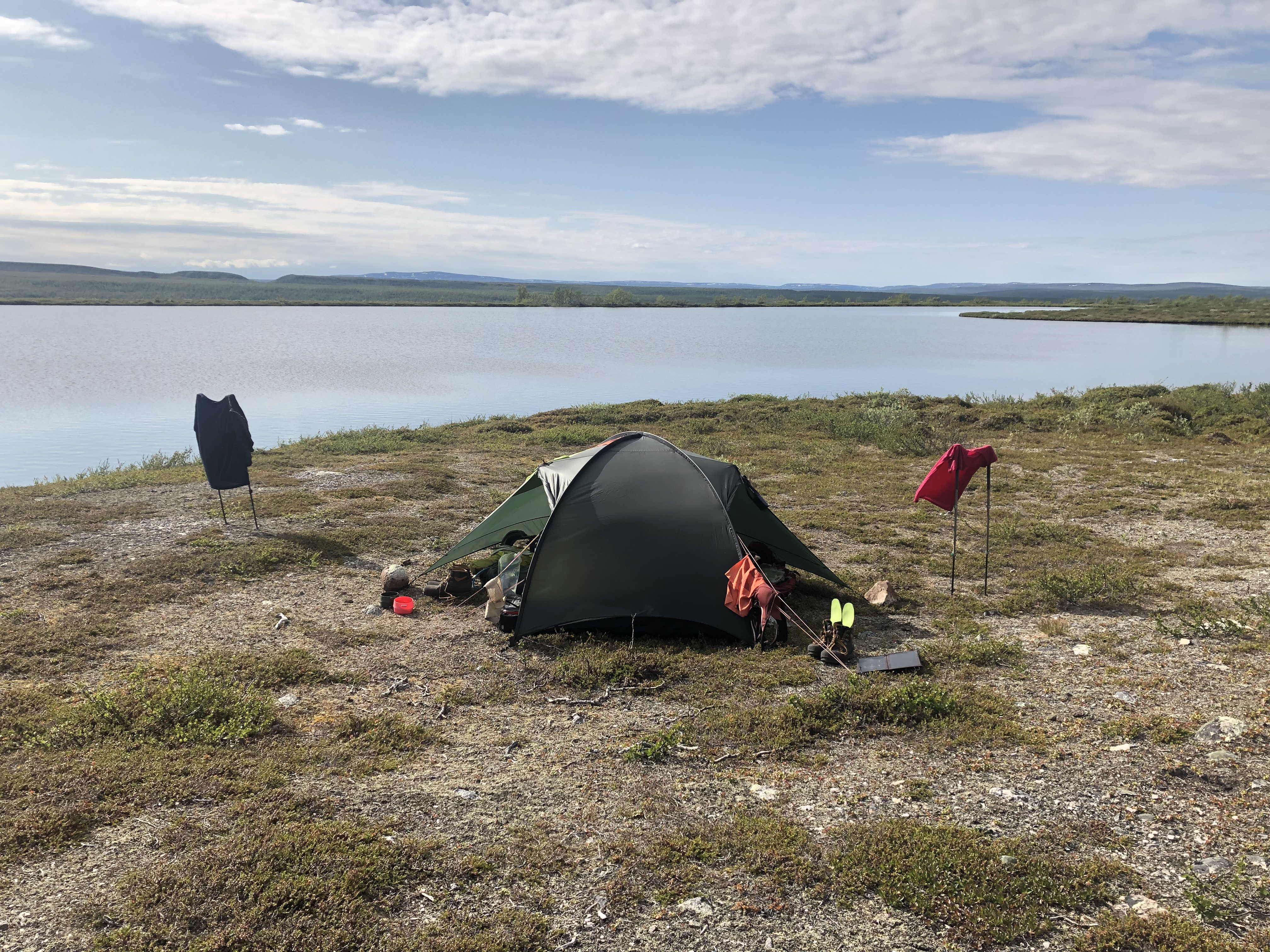
We found a lovely camp spot by a small lake just above the much bigger Biggejávri Lake. A bit of an afternoon breeze kept the bugs in check as we pulled up. We felt pretty grubby after 9 days since the last shower so we went skinny dipping in the lake to wash up a bit and rinse out our walking clothes. Felt amazing! This is really what life is all about!
Day 15: Mierojávri
Distance: 32 km
Weather: sun and a few clouds, warm
A nice calm night. Calm morning too, in other words… no wind = plenty of flies and mosquitoes! We packed up as fast as we could and headed for the ridge in hopes for a breeze. None! Well, a little at the very top, but it was a stressful start to the day.
As we dropped down on the other side towards the big lake we feared the worst. But thankfully the mosquitoes were not as bad on this side and most of the day we just zoned out in cruise mode as the trail followed (was) a gravel road laid out with a ruler-straight for about 20 km.
Just as we started looking for a suitable camp spot there were none to be found, and the mosquitoes were back in force! We battled them for the last couple of hours searching for a place to camp up. Not wanting to settle somewhere too swampy where we would be swarmed by bugs, we ended up walking all the way dow to the highway before calling it quits. We just pitched at the trailhead parking lot right next to the road. Oh well. They can’t all be winners.
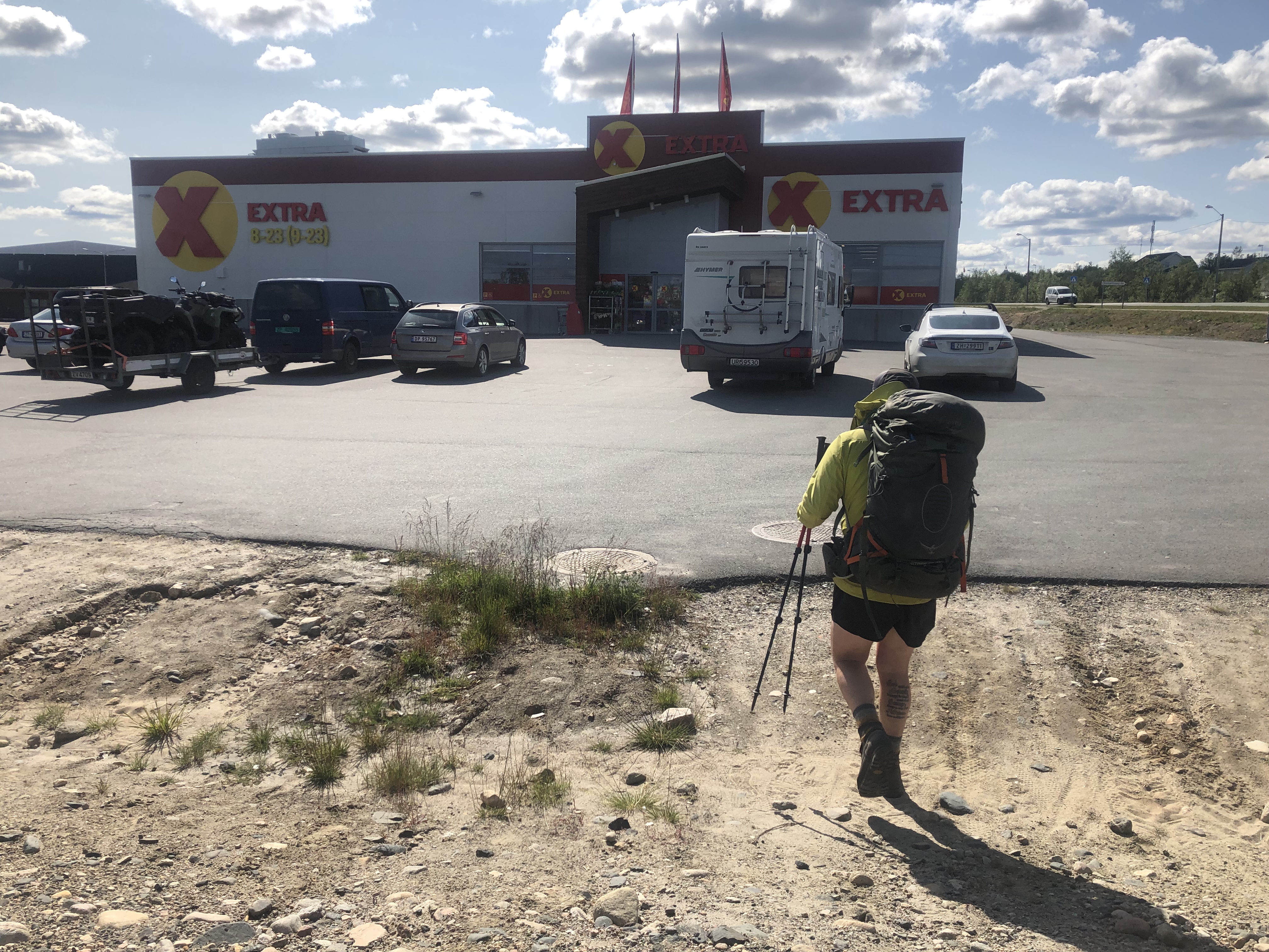
Day 16: Kautokeino
Distance: 16 km
Weather: sun and a few clouds, warm
On trail again heading for Kautokeino and the next resupply. A pretty straight shot in following gravel back roads staying off the main highway. Nice and summery again today. Imagine that, a whole week without rain!
Mosquitoes on and off today. This is pretty much how it is up here in the summer though, so we just have to get used to it. We have another couple of months left to battle the tiny terrorist before fall.
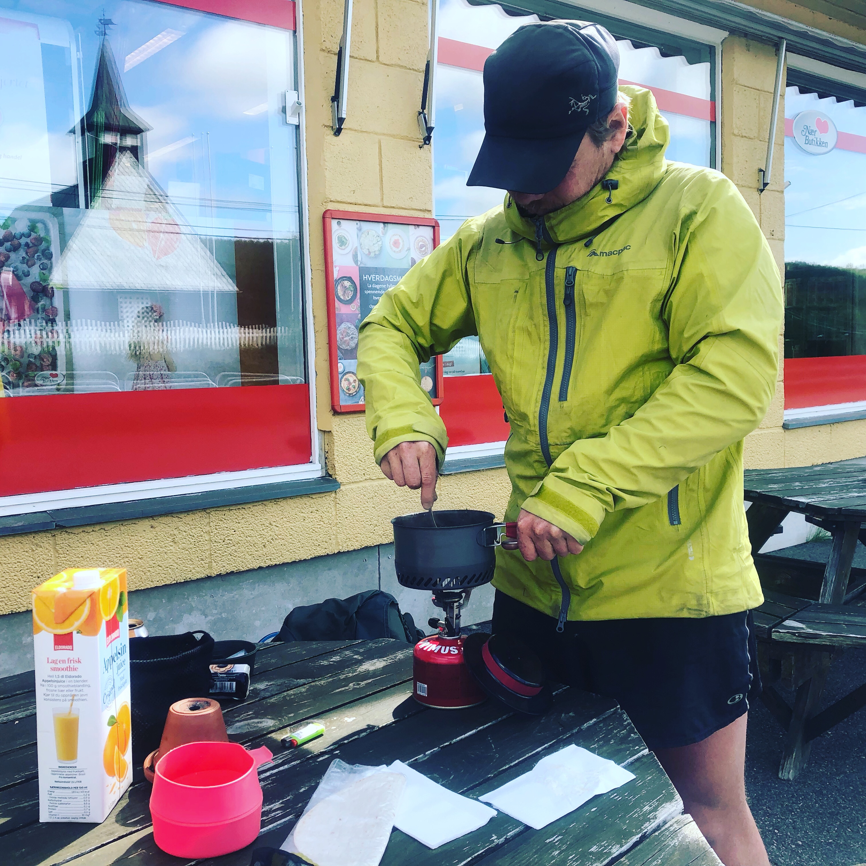
Rocked into town around lunch. Grabbed a large orange juice each and some bread for lunch at the Extra supermarket before we will tackle the resupply. Packing out another 8 days plus one breakfast for the next leg to Kilpisjarvi.
Feeling good!


Leave A Comment