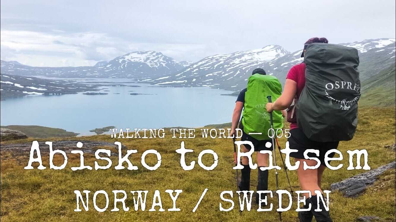
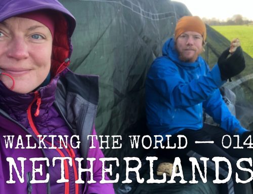
Walking the world
- Norway/Sweden: Abisko-Ritsem
- 15 – 21 August, 2019
- 190 km (956 km in total)
- E1 European long distance path: Scandinavia, Green Ribbon (Gröna Bandet), The Arctic Trail (Nordkalottleden)
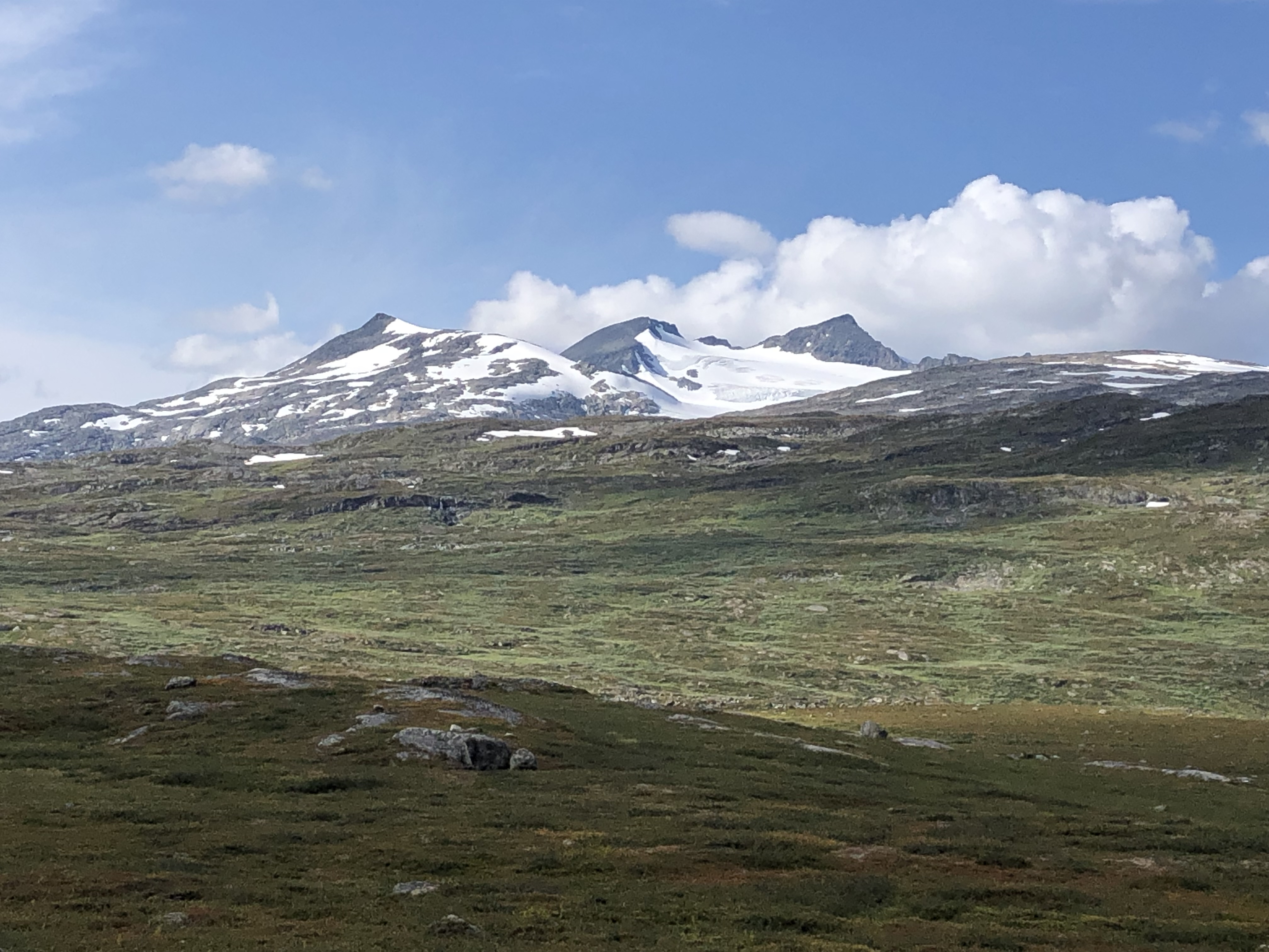
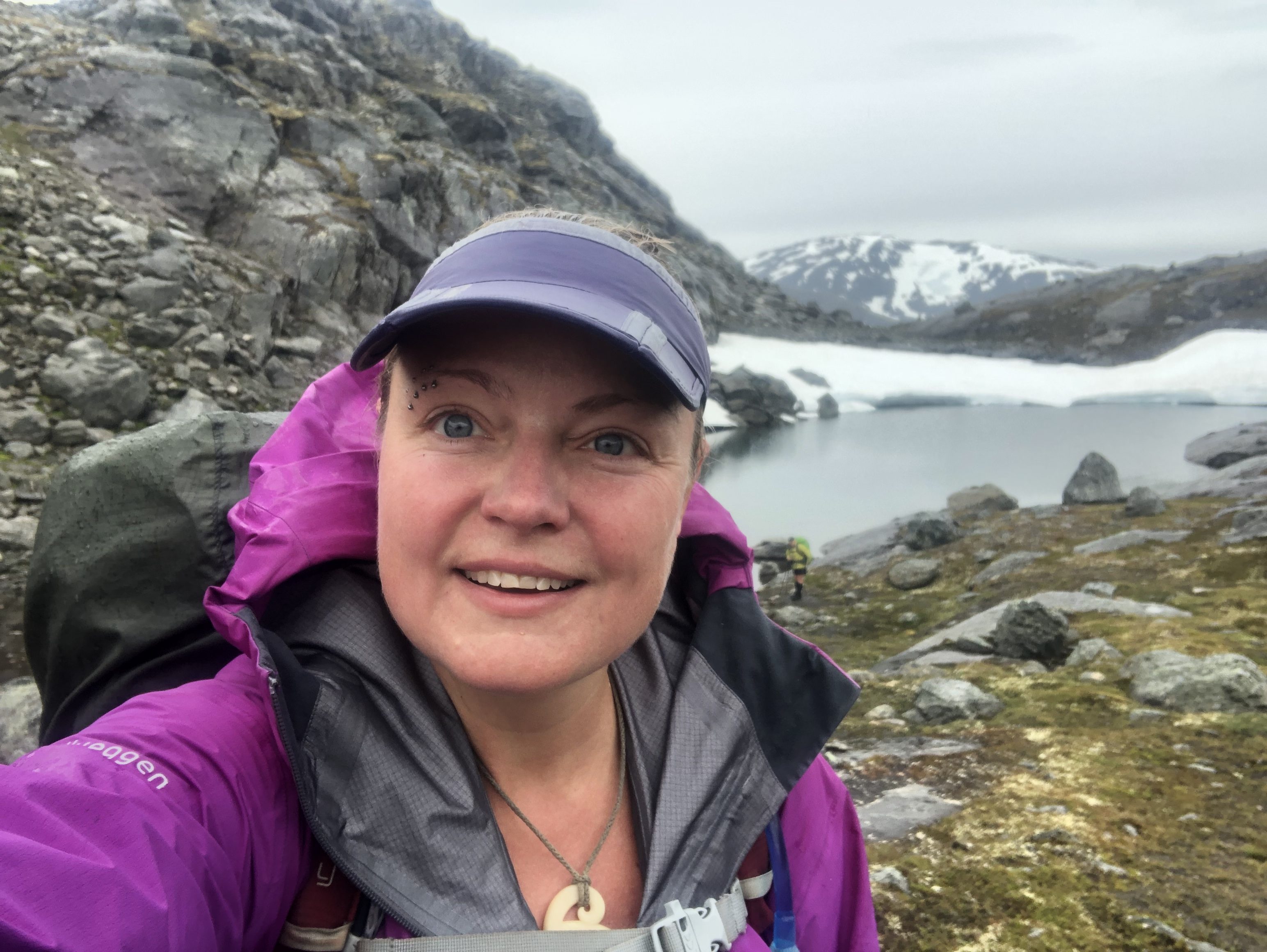
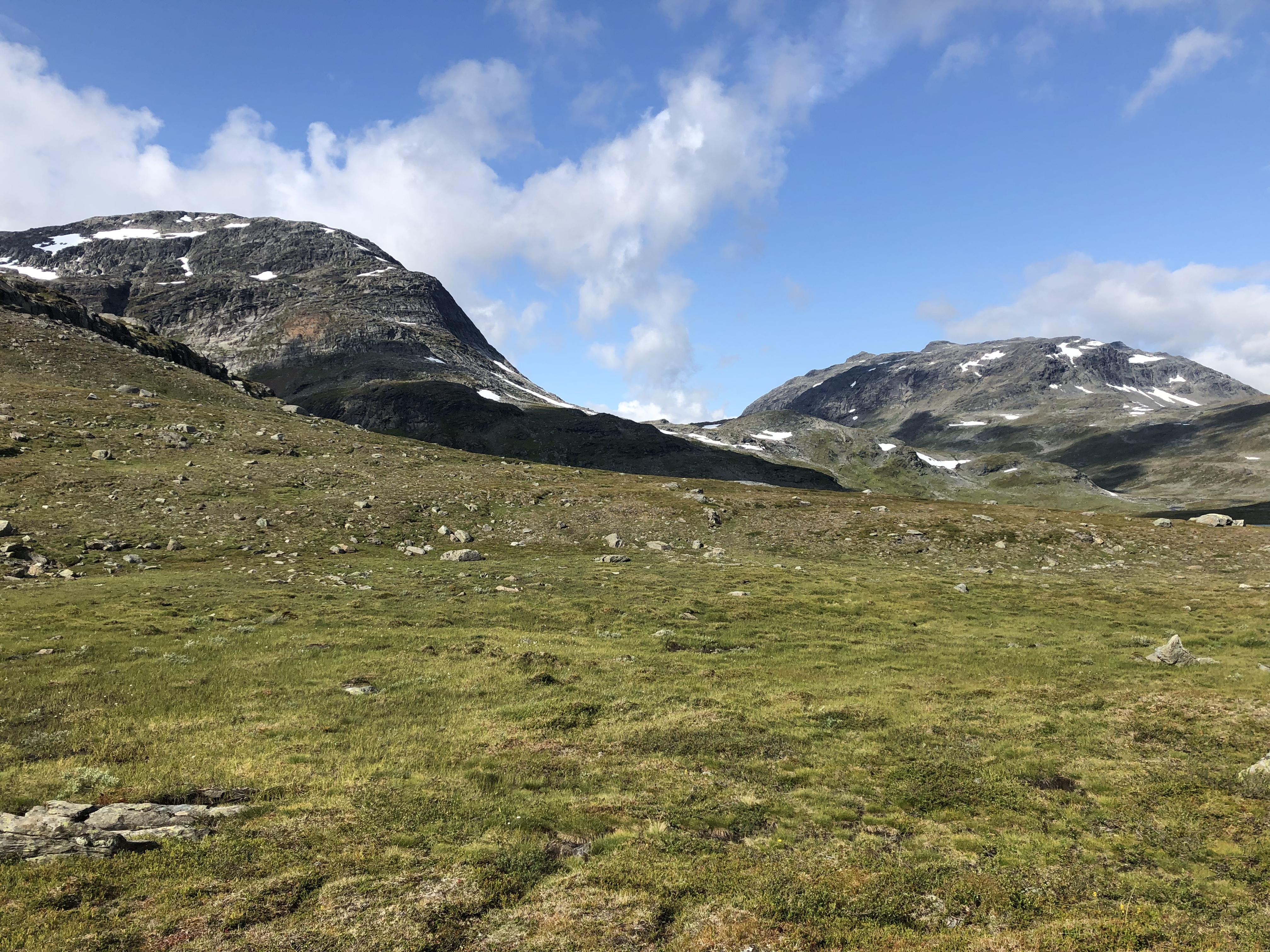
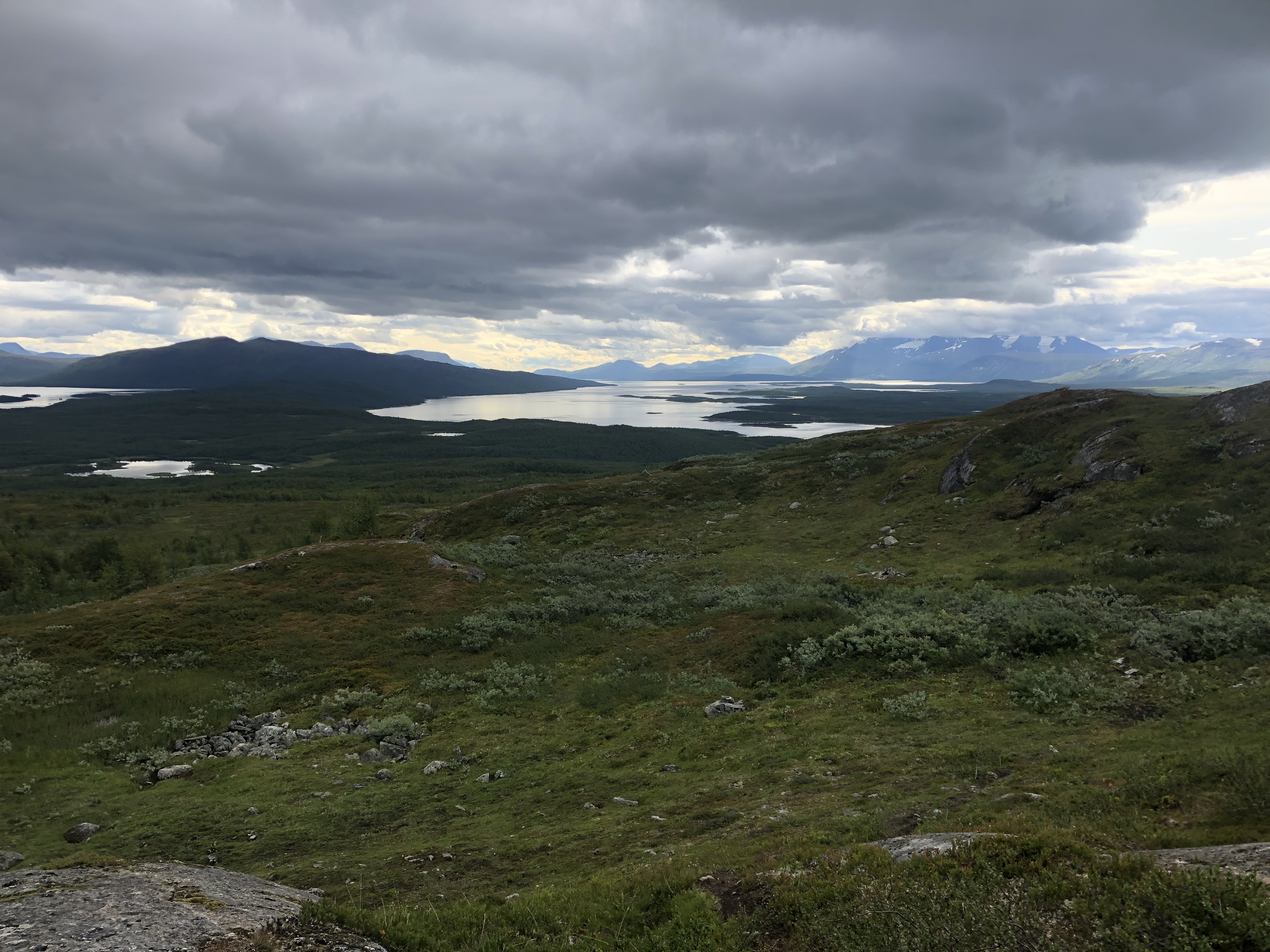
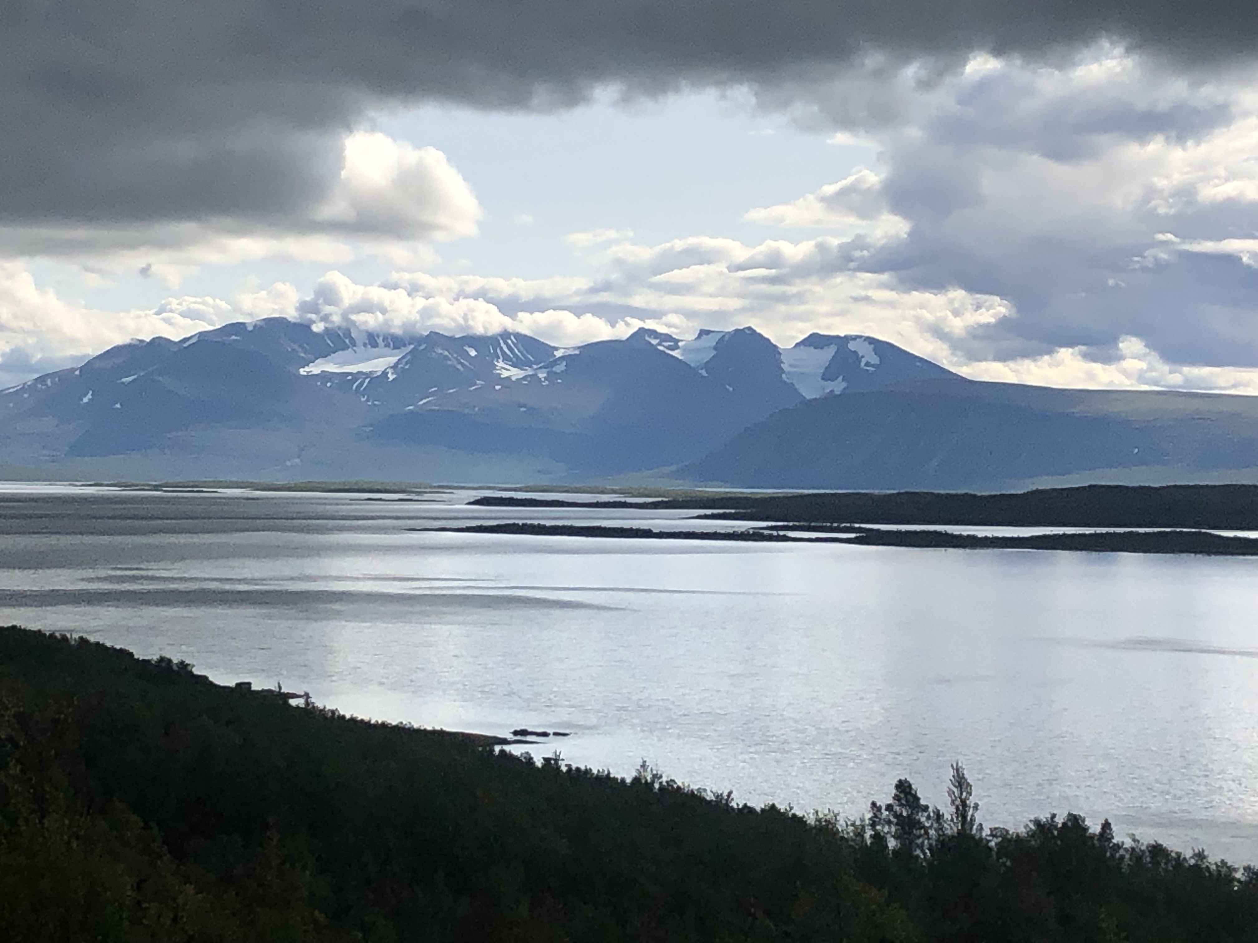
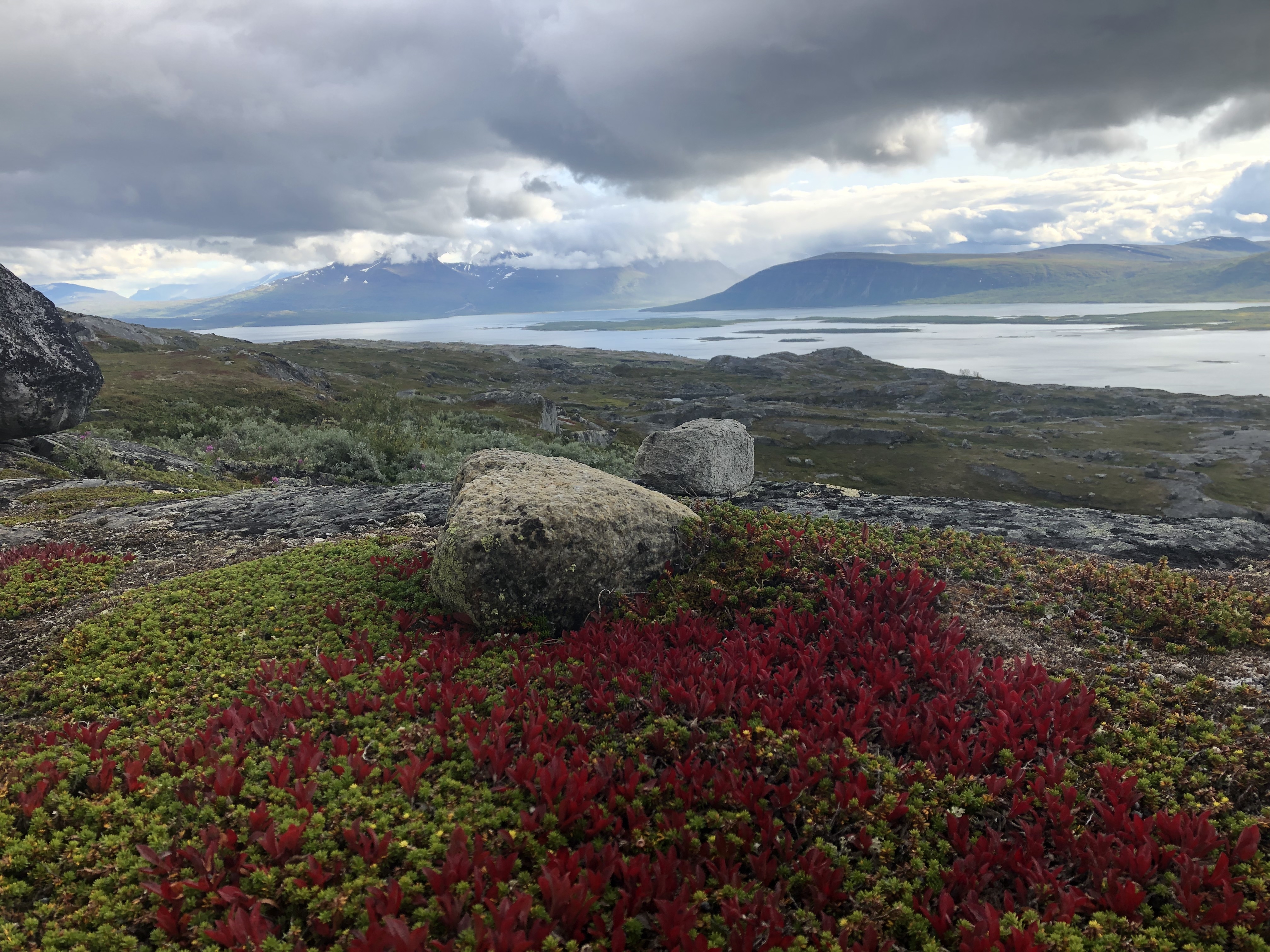
One word to sum up the past few days on trail would be — mountains! Oh yeah, and bridges. We have enjoyed a very scenic section of trail with majestic mountains, impressive glaciers, beautiful mountain lakes and countless rivers and waterfalls. Thankfully all the major crossing have had bridges. A fair amount of climbing though here, sometimes a couple of big passes in a day, so we are happy to have found our trail legs again before heading into this section. This is what we love to do though… we feel free and truly alive up here in the mountains!
Trail description
Terrain
Leaving the fast pace celebrations of the Fjällräven classic we set off on our next section of 190 km.
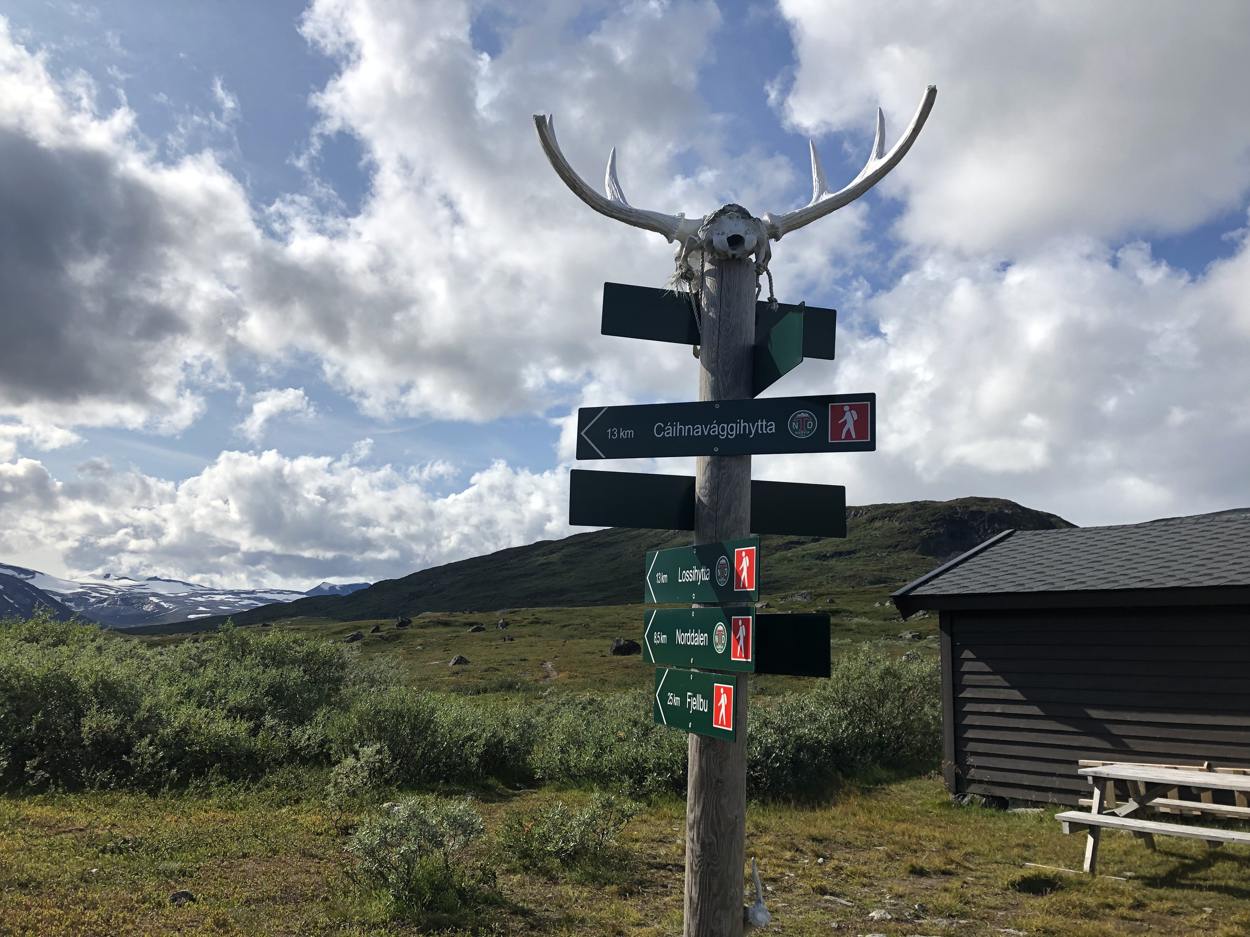
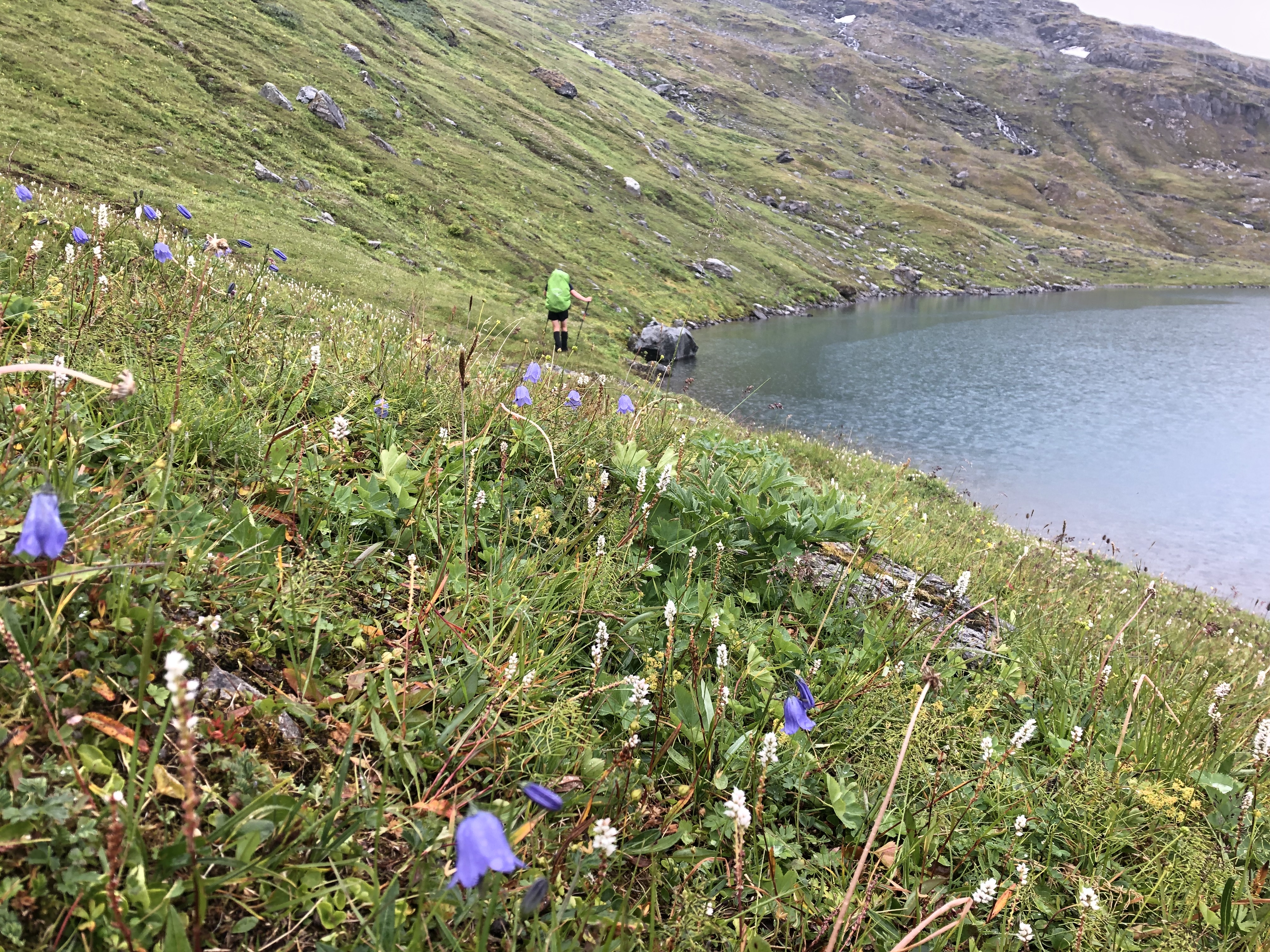
We head up a wide valley following the popular Kungsleden (the Kings Trail) for the first 15 km, before turning off up a unmarked trail from the first hut. We slowly climb next to a beautiful river that turns into a magically still lake at the top of the saddle.
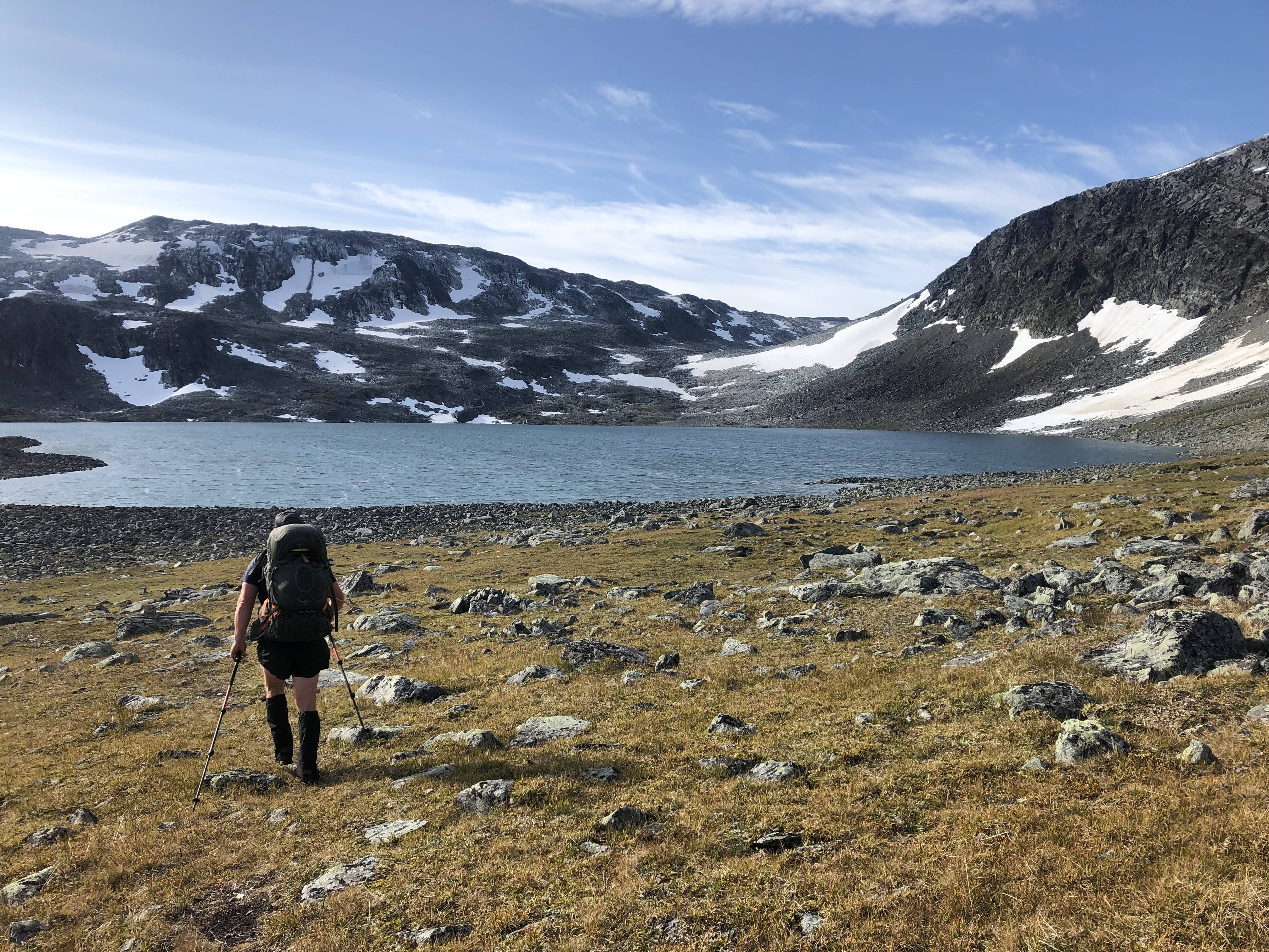
We see the valley for the first time were Cainhavagge hut is positioned high up in the top basin, surrounded by snowy peaks.
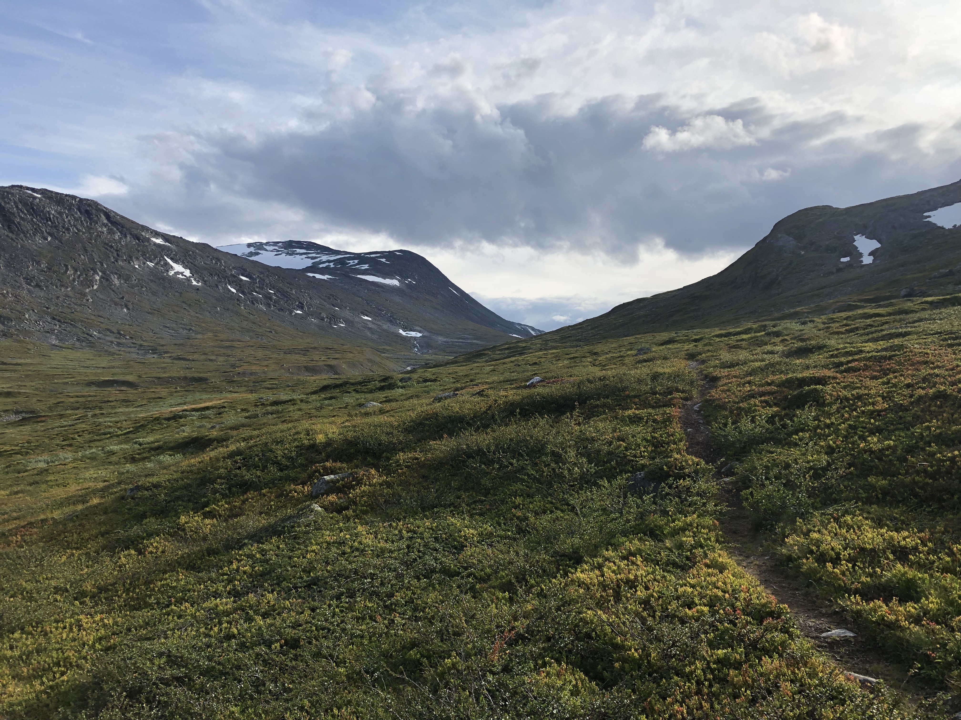
The next pass is a tiresome but rewarding climb boulder hopping and navigating around mountain lakes and crossing rivers, absolutely stunning beauty.
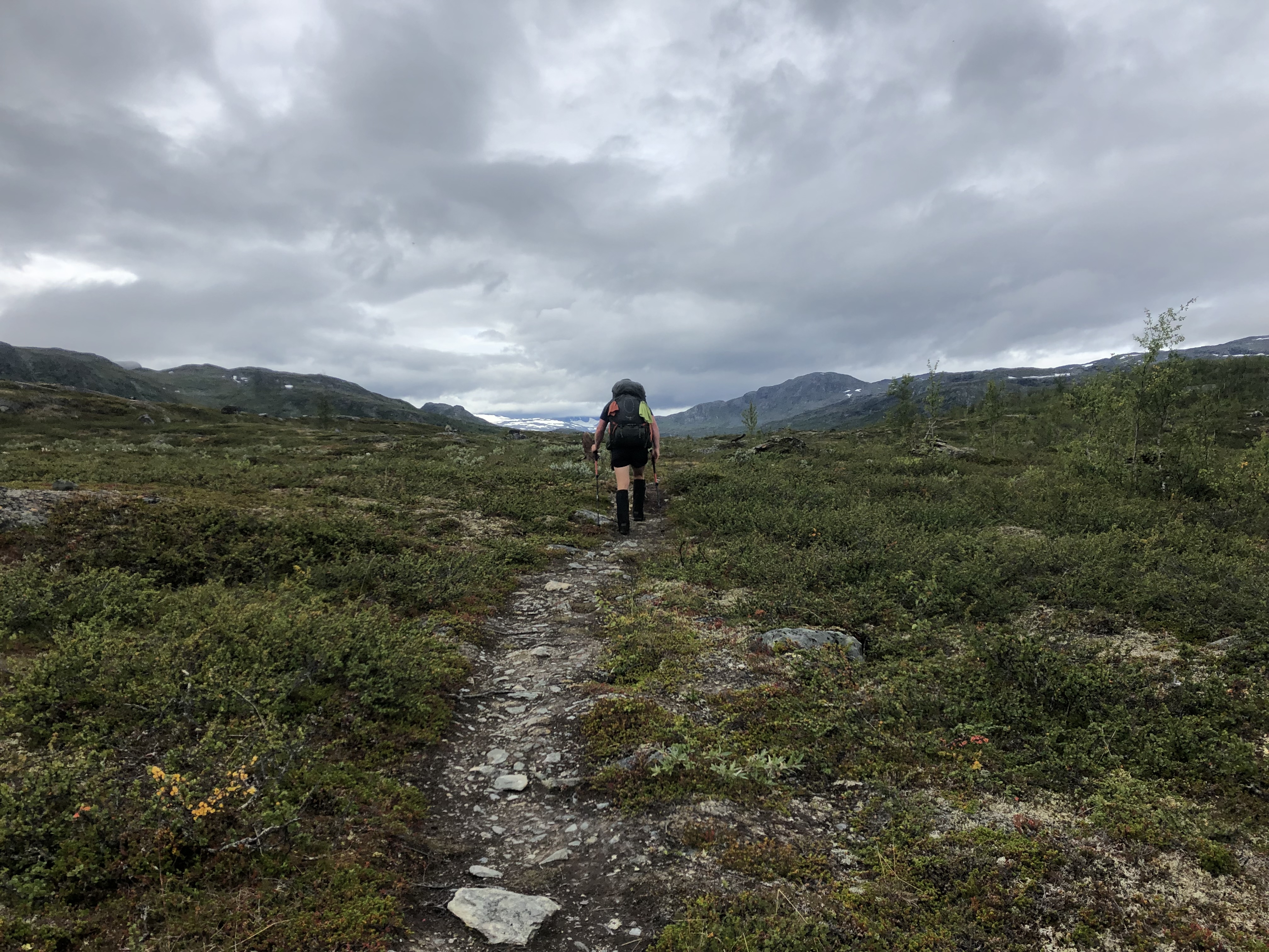
With a short dam crossing and road walk we get back on trail. With rain the rocks become slippery, so we cautiously head over the rocky terrain finding ourselves at the edge off a large granite cliff,with a well marked trail slowly snaking its way to the bottom we gradually make our way down, followed up by a 14 km gravel road walk through the mountains.
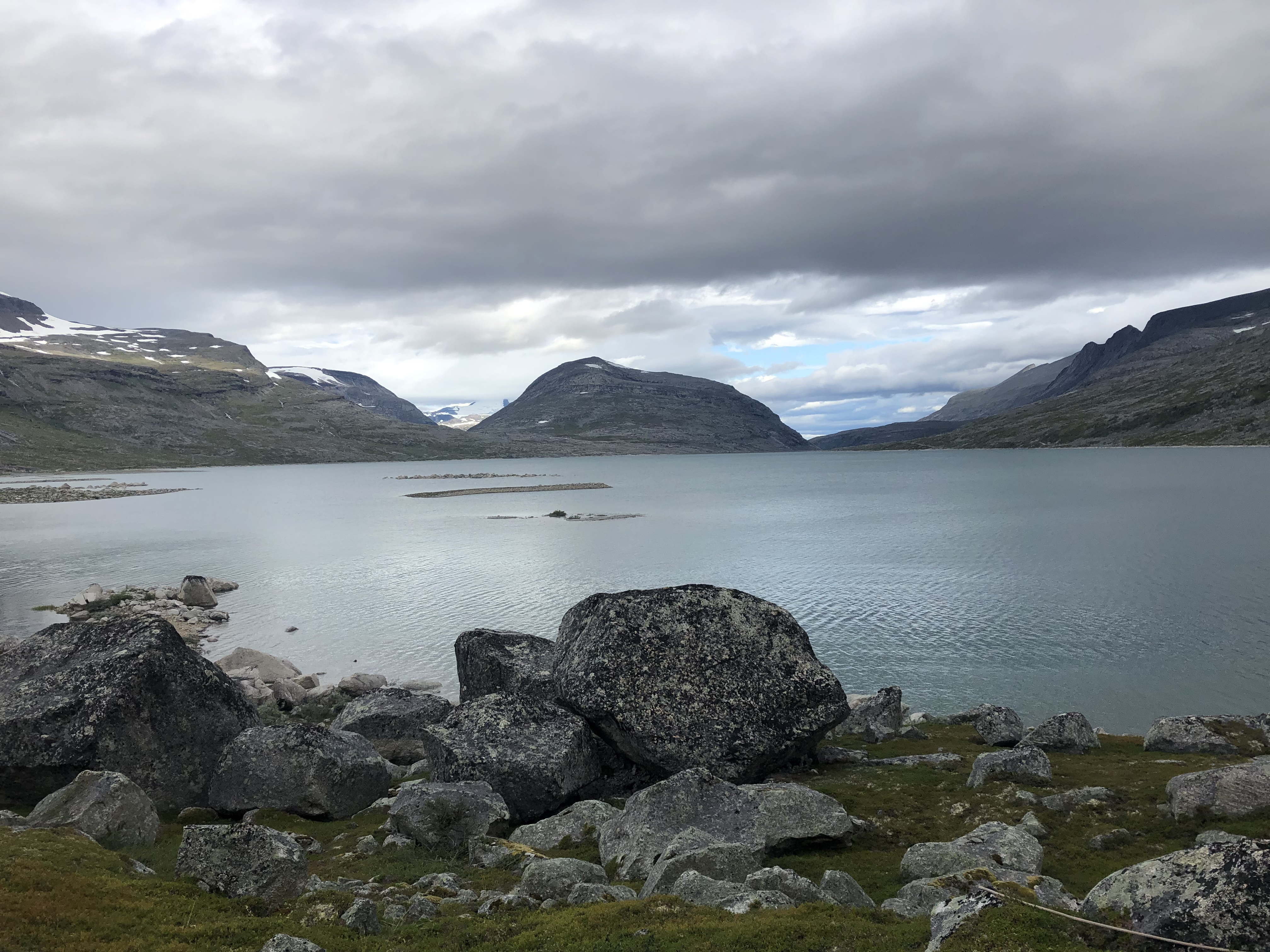
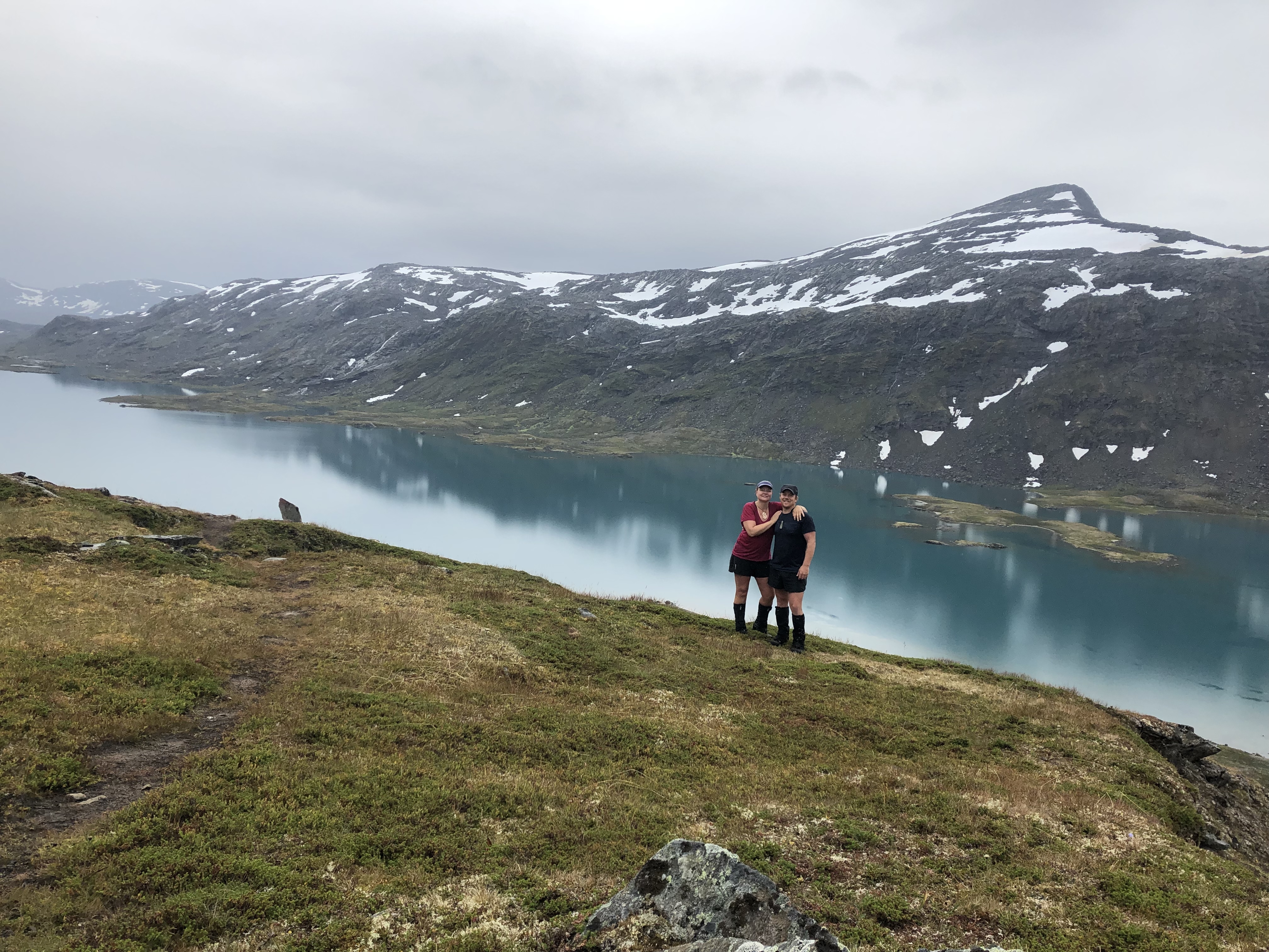
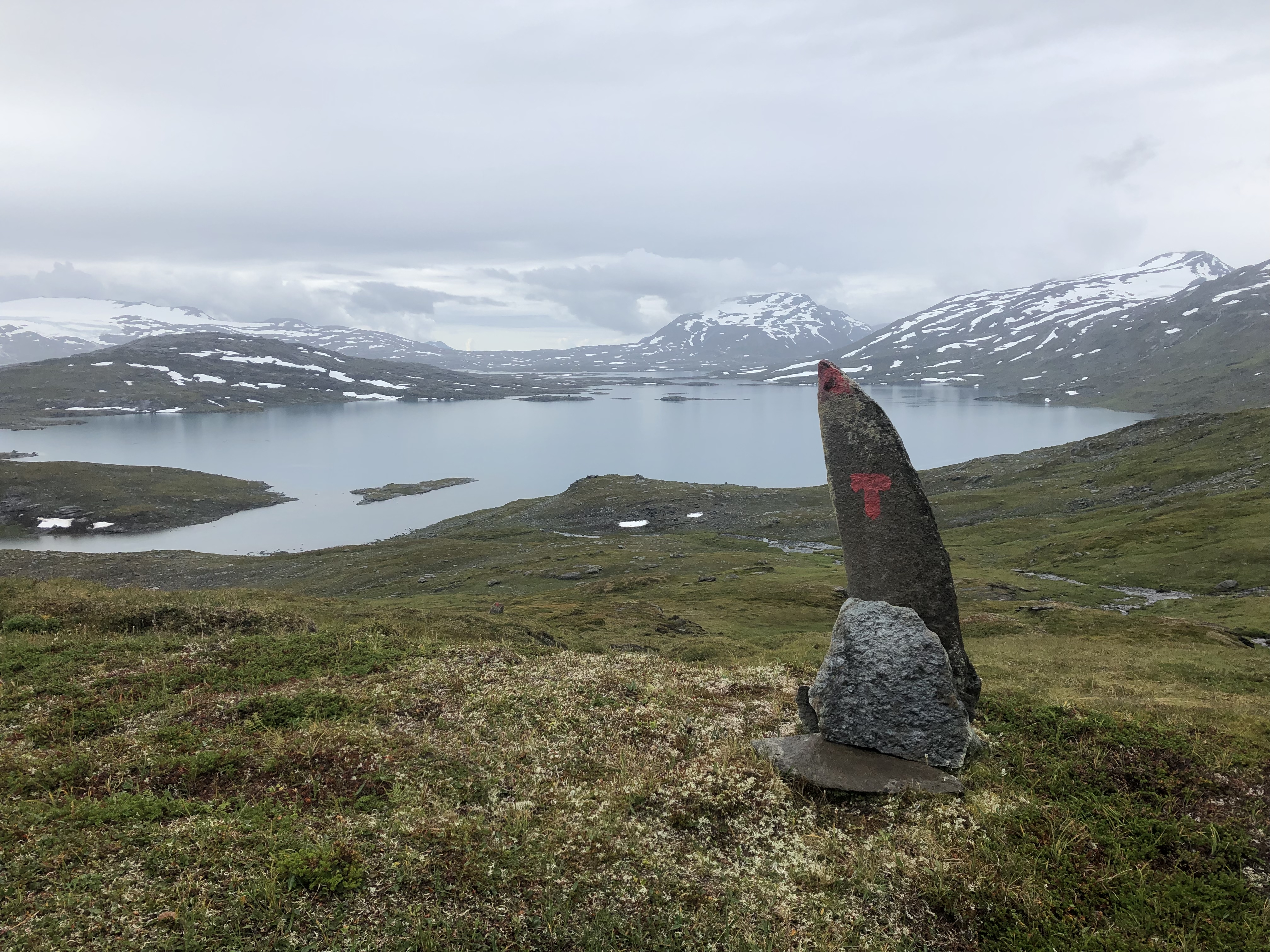
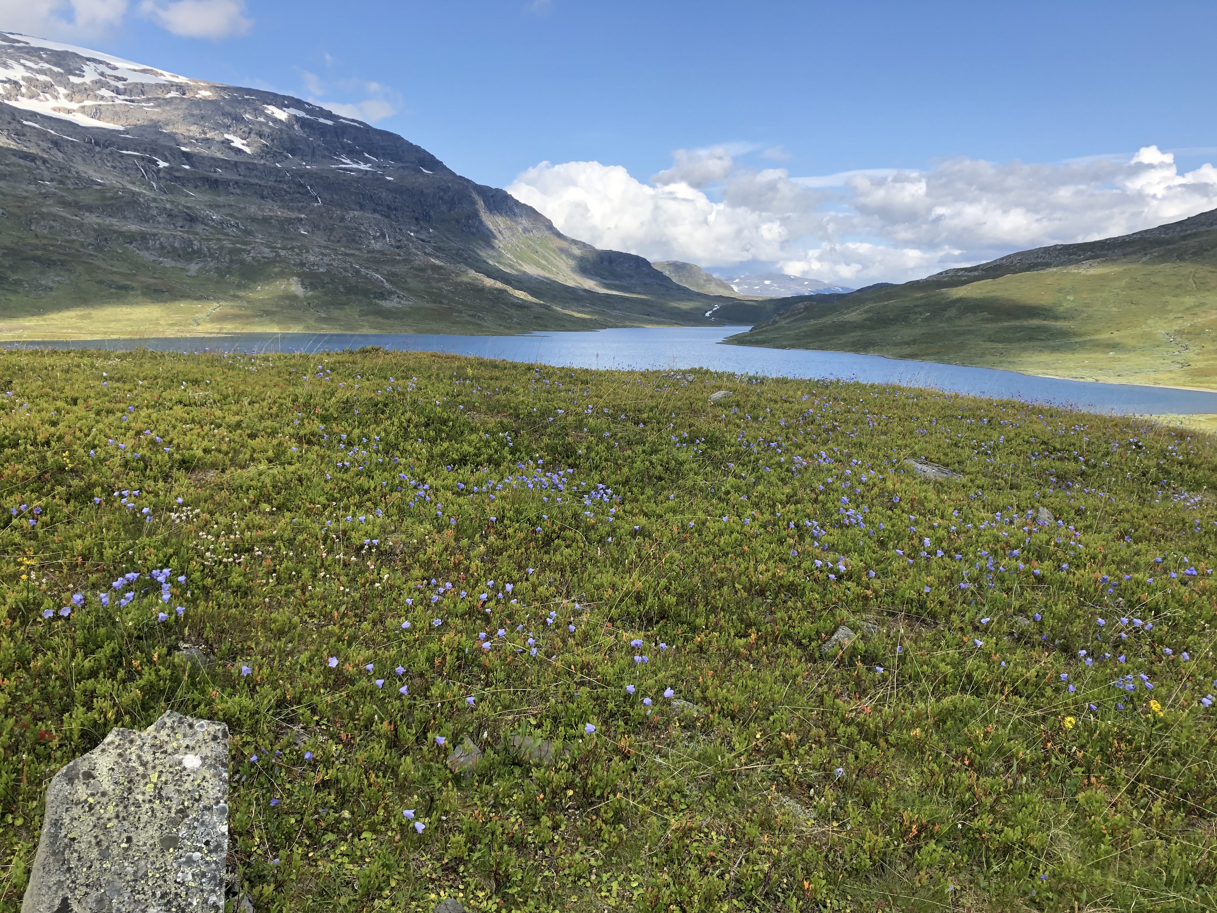
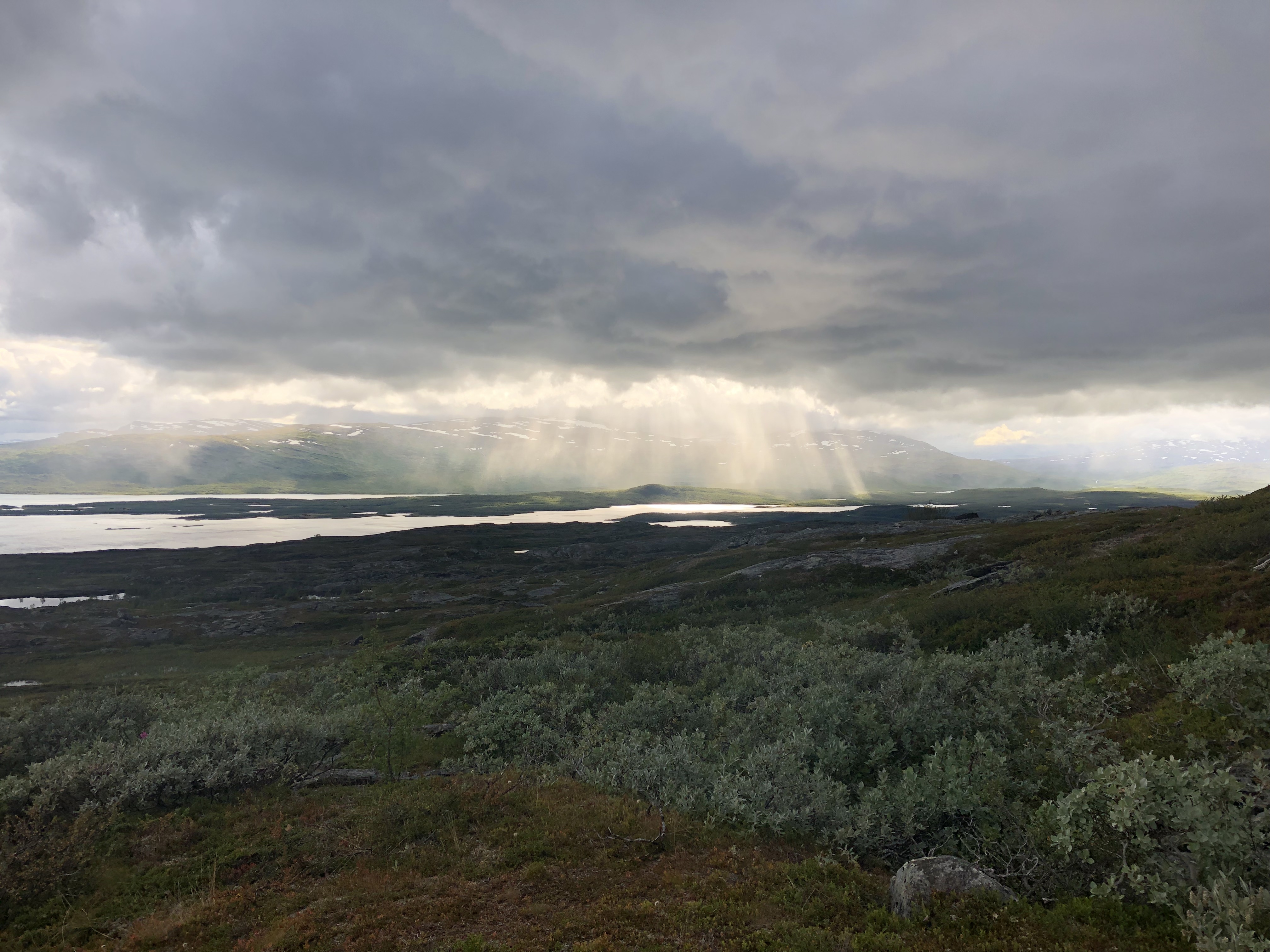
Another pass leading us to overlook a clear blue mountain lake, this was followed up by a repeat, another pass and a beautiful mountain lake only this time with glaciers and gorgeous peaks.
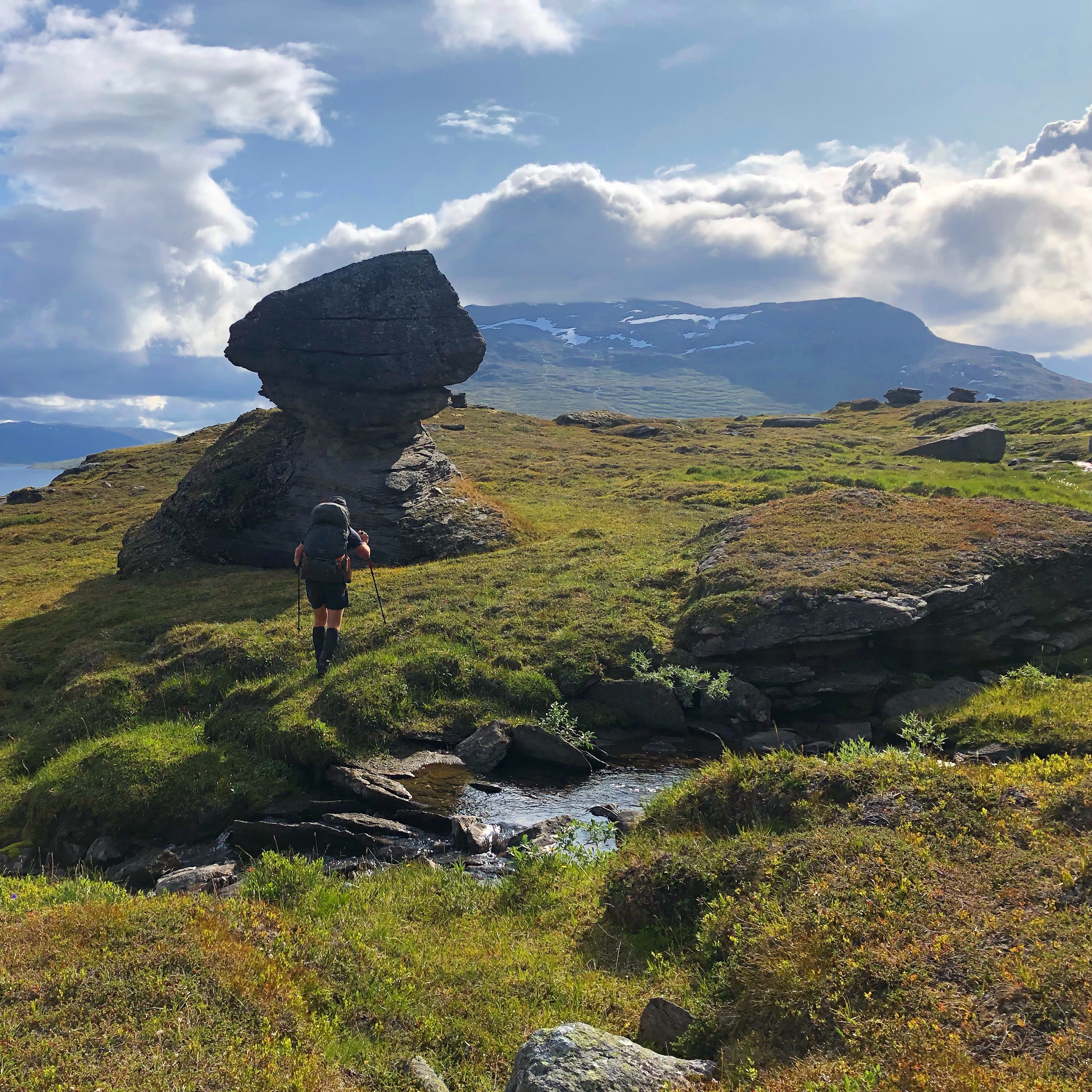
We head up and down the rolling hills for the next 40km with birch forest and epic lake and mountain views before we arrive at Ritsem.
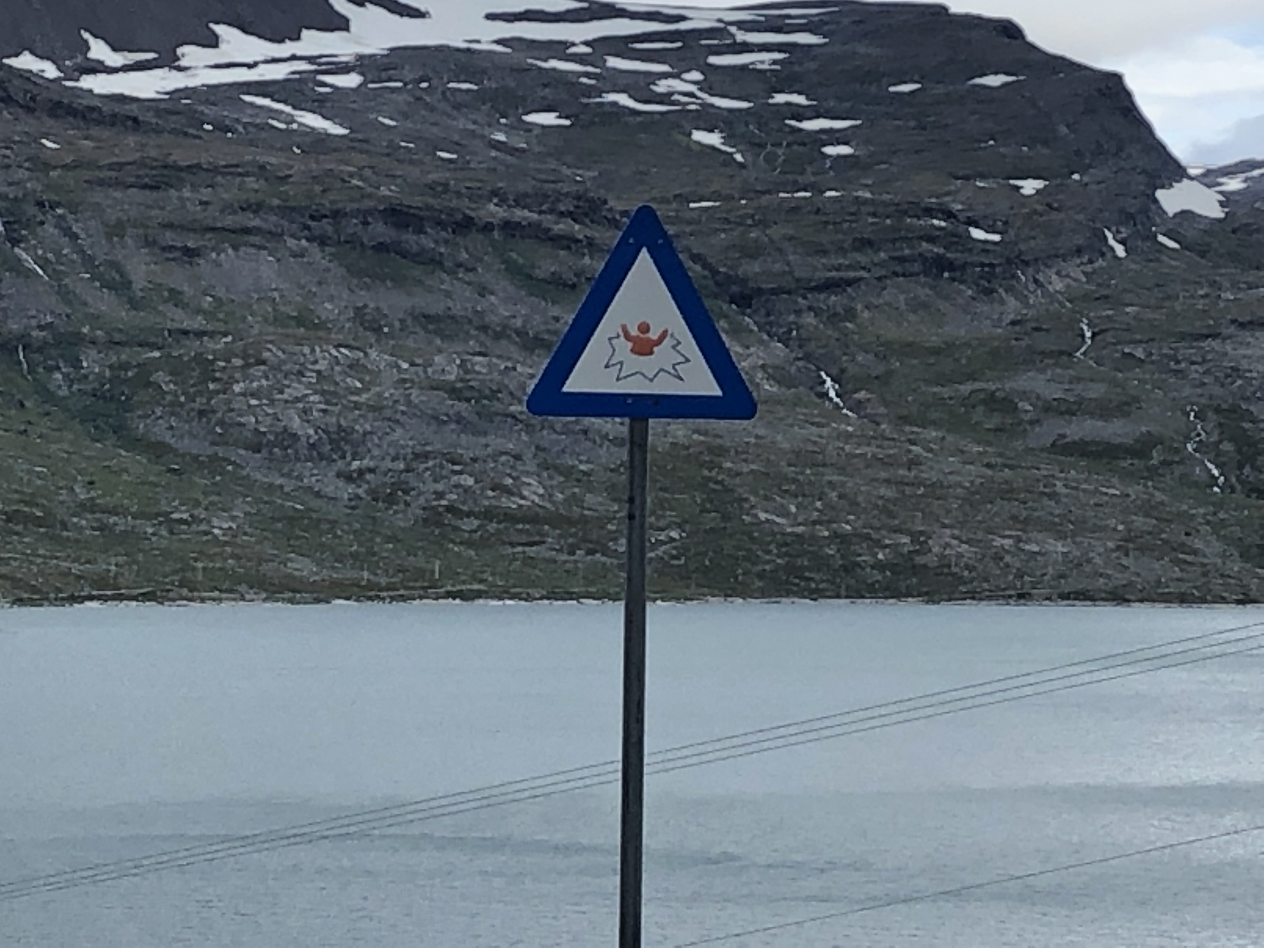
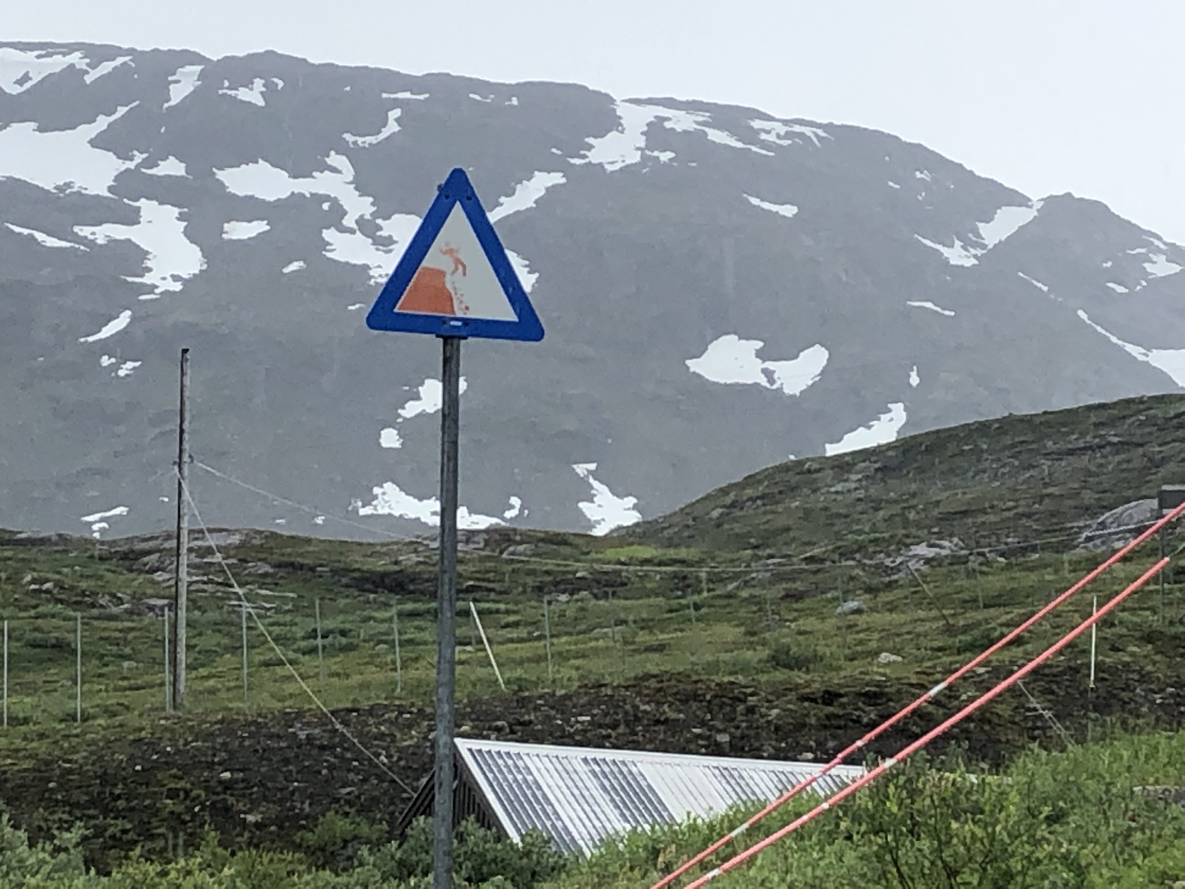
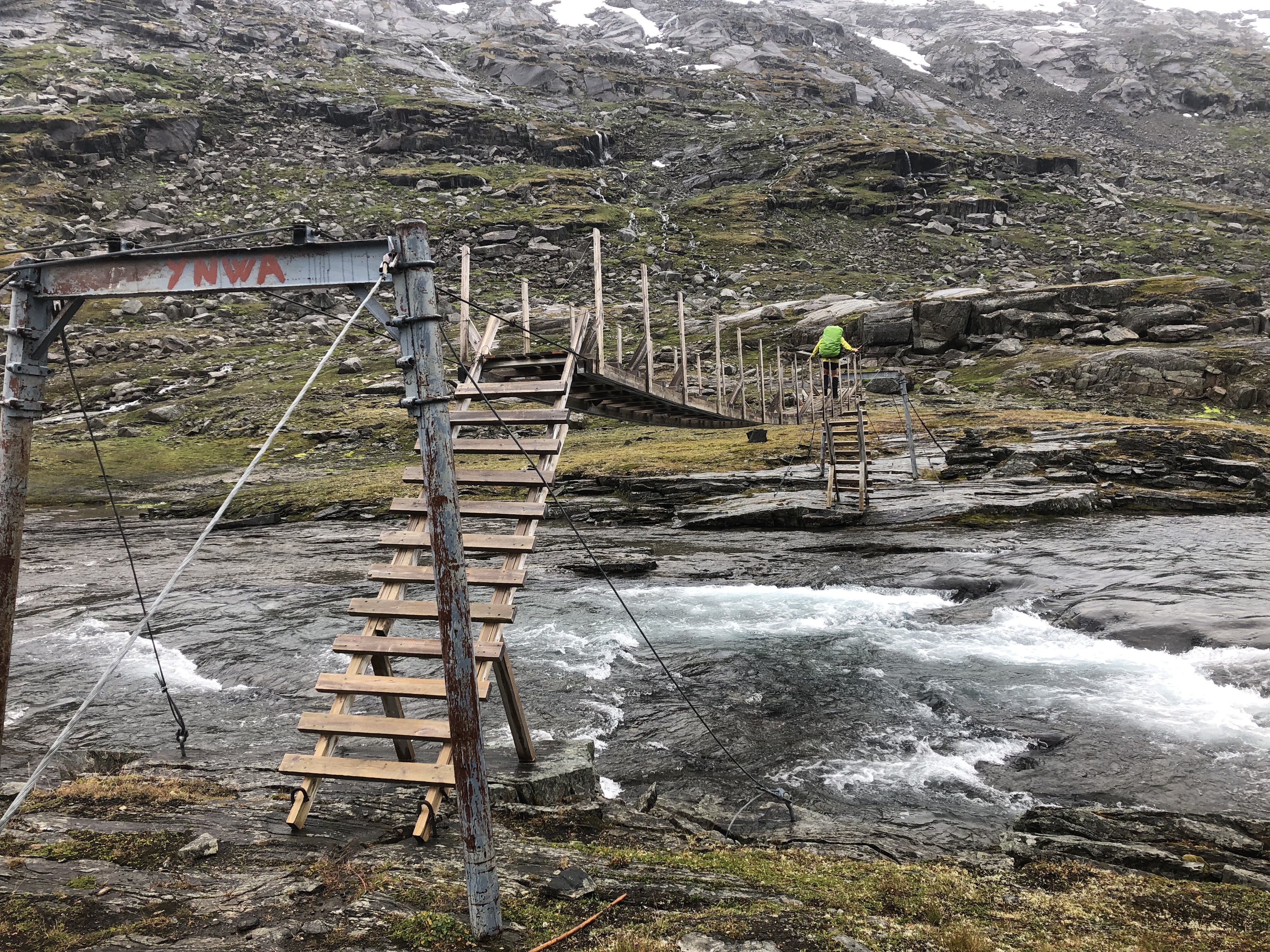
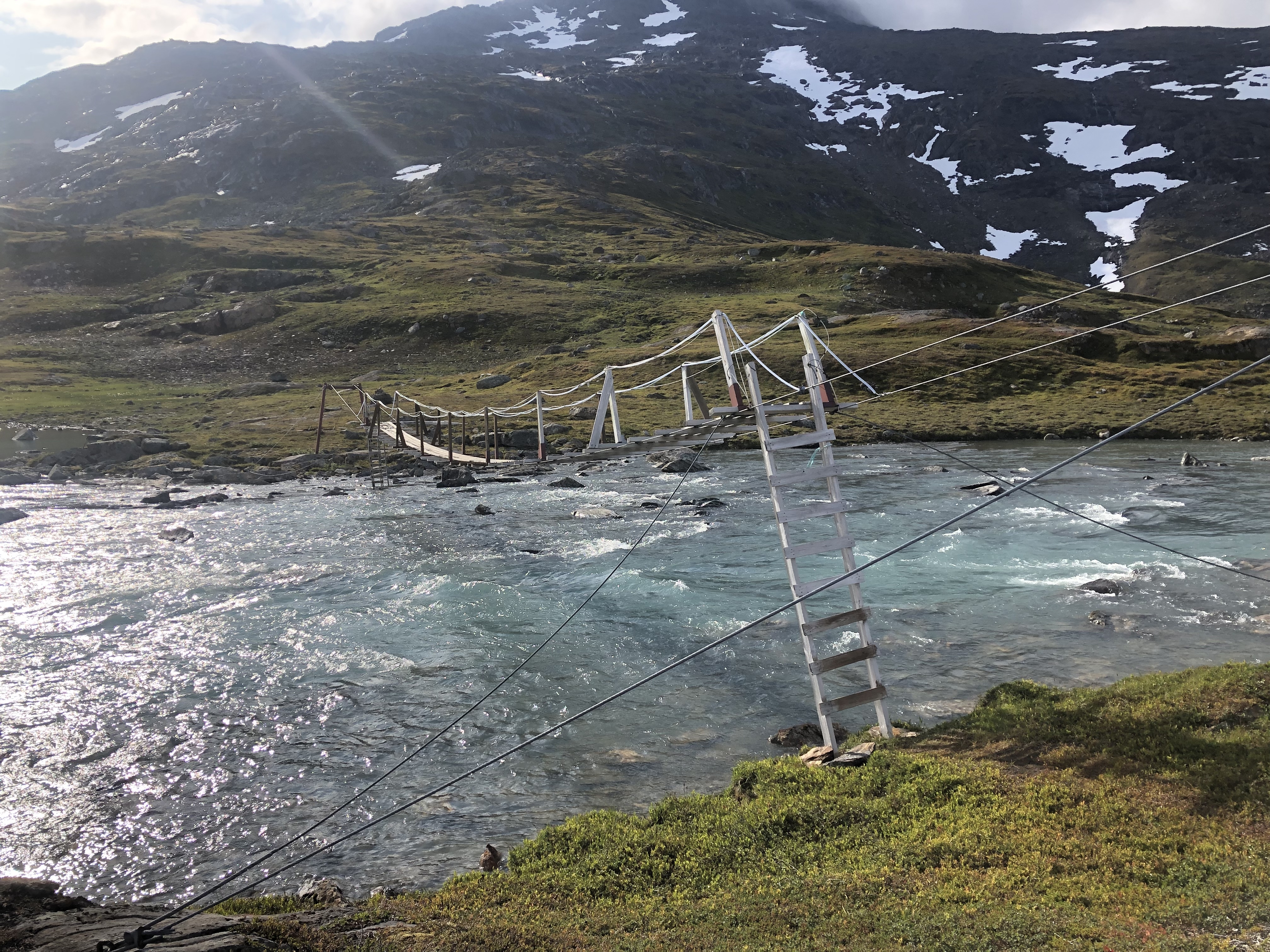
Numerous bridges on this route — some questionable!!!
Trail journal
Day 50: Kamajåka river
Distance: 24 km (790 km total), Weather: cloudy and drizzly
We (almost literally) pushed our way out of Abisko through hundreds of people coming in on Fjjällräven Classic (huge hiking event with thousands of international participants). Absolute madness! When we finally turned off Kungsleden trail after about 13 km it was a relief! We stopped for a quick lunch break at the Abiskojaure hut then took the nice and quiet unmarked trail towards Norway, safe from all the crowds.
We camped up by the Kamajåka river in the shadow of Kieron mountain. Scott made a nice little fire while we cooked dinner and waited for the tent to dry from last night’s torrential downpour. Met a young couple hiking through and chatted for a while, nice.
Feels like it will be a pretty cool night. We are bundled up in our thermals for sleep.
Day 51: Cainhavagge
Distance: 32 km (822 km total), Weather: cloudy with some sun in the afternoon, evening shower.
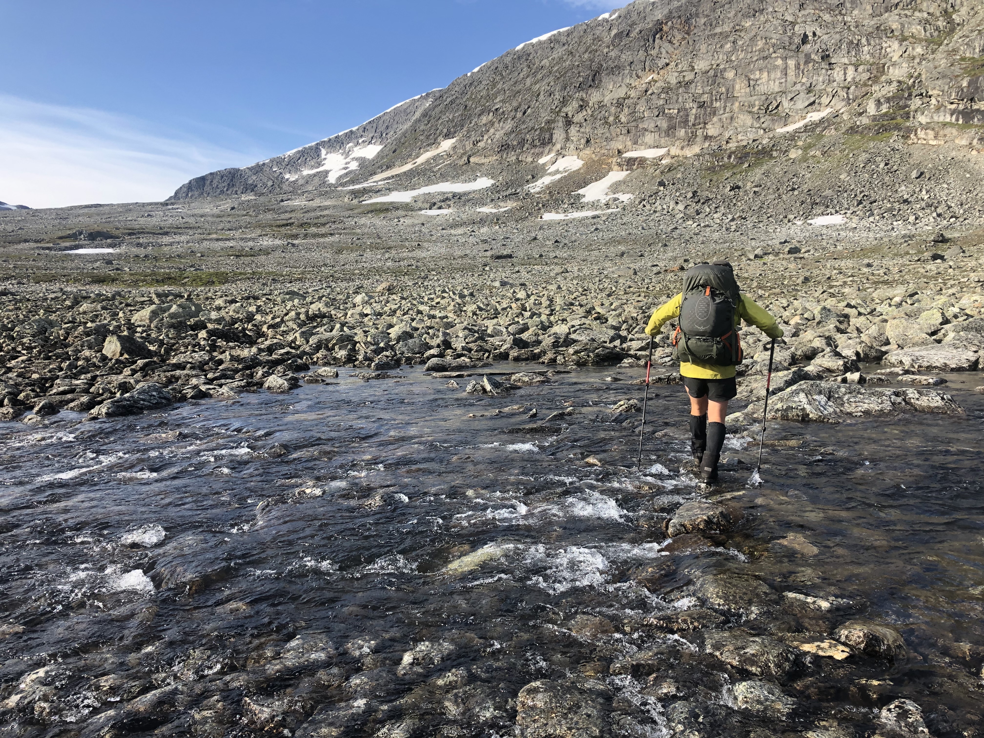
A long day in the mountains with two big rivers to cross at the end. Walked dry across the first one, thigh deep through the second one. Ice cold rain came in just at the very end of the day! Long day. Pushed a long 32 km day. We’ll sleep well tonight!
Day 52: Skoaddejávre
Distance: 22 km (844 km total), Weather: cloudy with some sun, windy, late afternoon drizzle
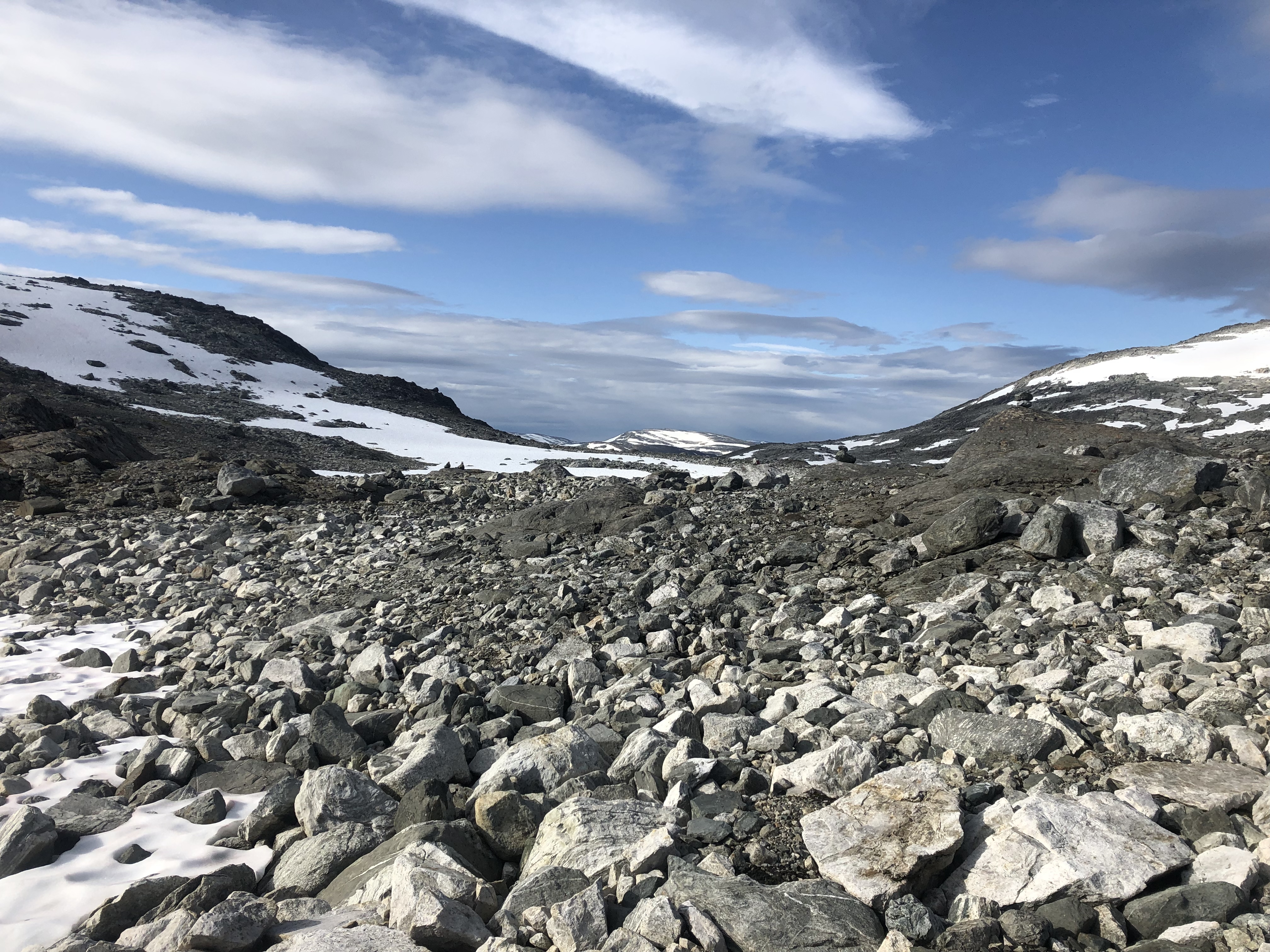
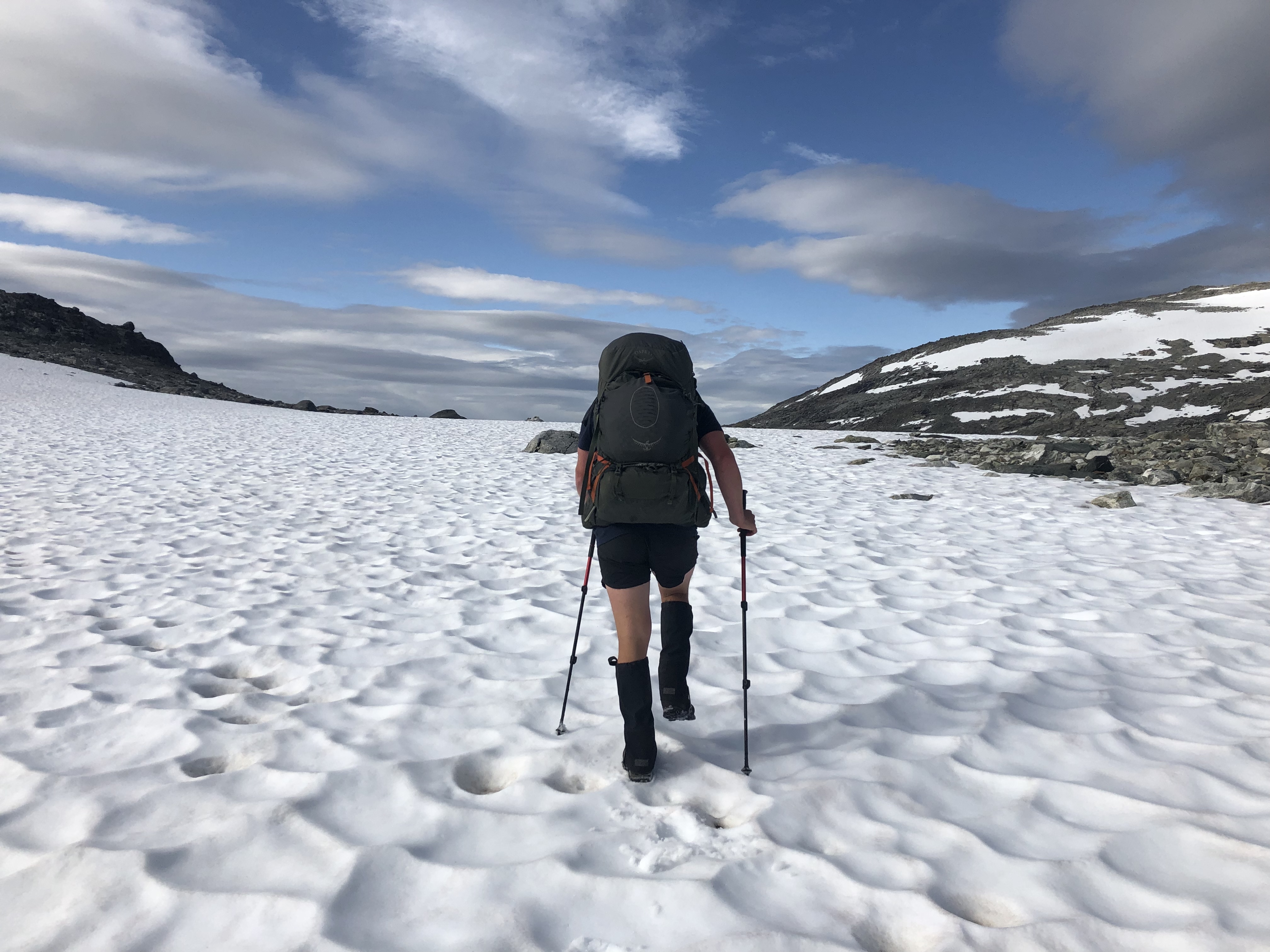
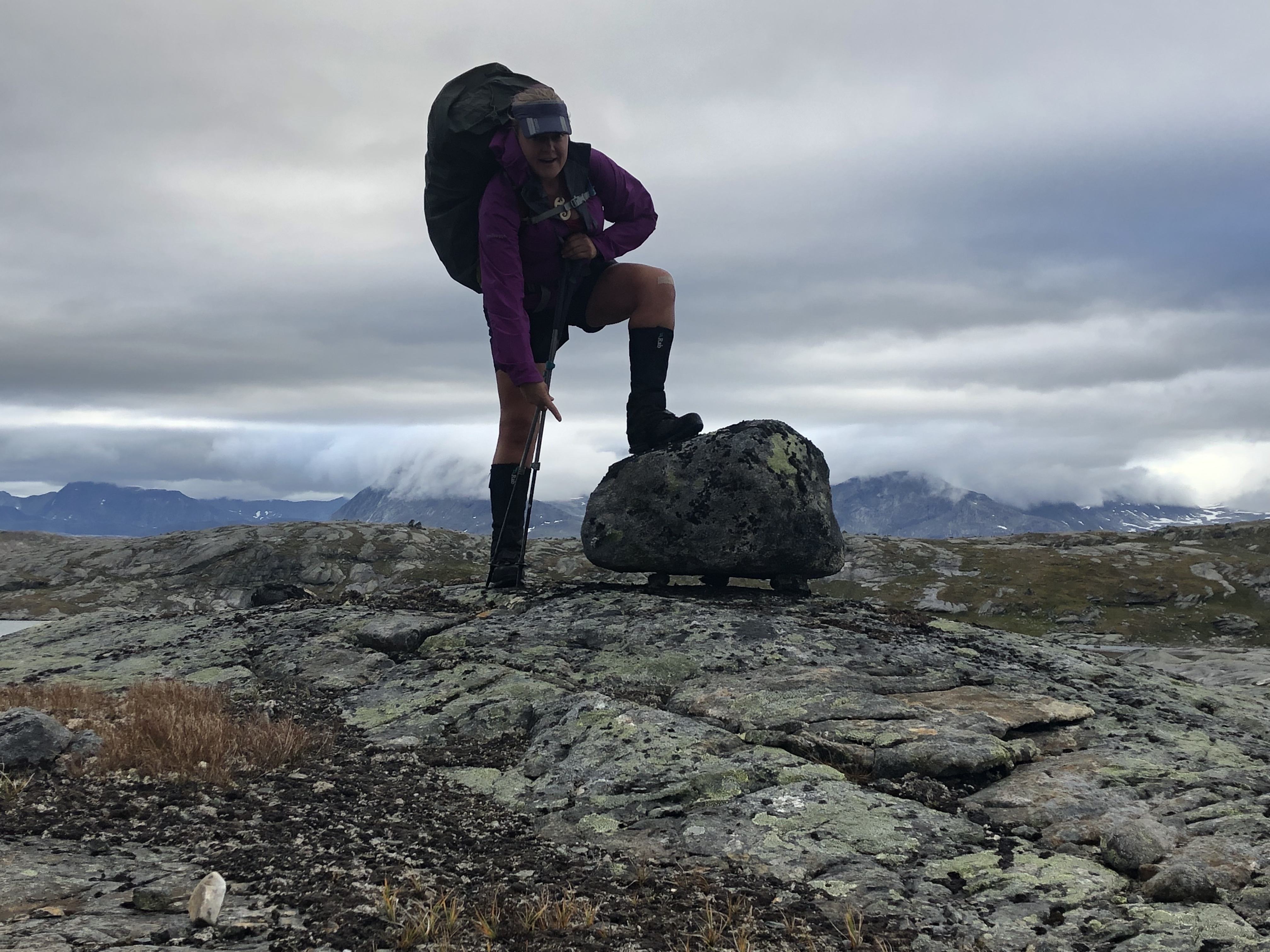
Woke up surrounded by tall mountains and two lakes. We got a nice view of them from above when we climbed over the high pass first thing in the morning. Felt wild and remote up there! Beautiful! We absolutely love it! The whole pass was pretty much a rock-hopping game though, large stone fields mixed in with really large boulders. Felt like you were climbing stairs all day! A few snow fields for us to cross up here too.
Dropped down to a valley with another hydroelectric dam project before we climbed over the next pass. Not as high and dramatic as the previous one, but still largely rock-hopping. Quite a leg workout!!
We had planned to go further today. But climbing those two mountain passes consisting of 80% rock/boulder-hopping we are calling it early. Just in time before the rain started too!
Day 53: Sitas
Distance: 21 km (865 km total), Weather: storm clouds with some drizzle, windy
On trail by 7:30 in an effort to beat the weather. Trail went up and over a small pass with lots of wet rocks and the trail was quite slippery exposed in places. Tricky to navigate after the heavy rains overnight.
Coming down the mountain on the other side was a bit of a scrambling exercise, very steep and slippery. The last 14km of the day was a gravel road walk, which we did not mind so much after the technical terrain earlier in the morning.
We have been chased by a storm front all day. It nearly caught us, but headed down another valley last minute. The big storm is due tonight though and is supposed to last well into tomorrow.
We are doing long food carries through here (about 8-9 days) so we are packing a light on the food to save on weight… meaning we are always a bit hungry!
Day 54: Paurohytta
Distance: 23 km (888 km total), Weather: light but persistent rain all day, calm
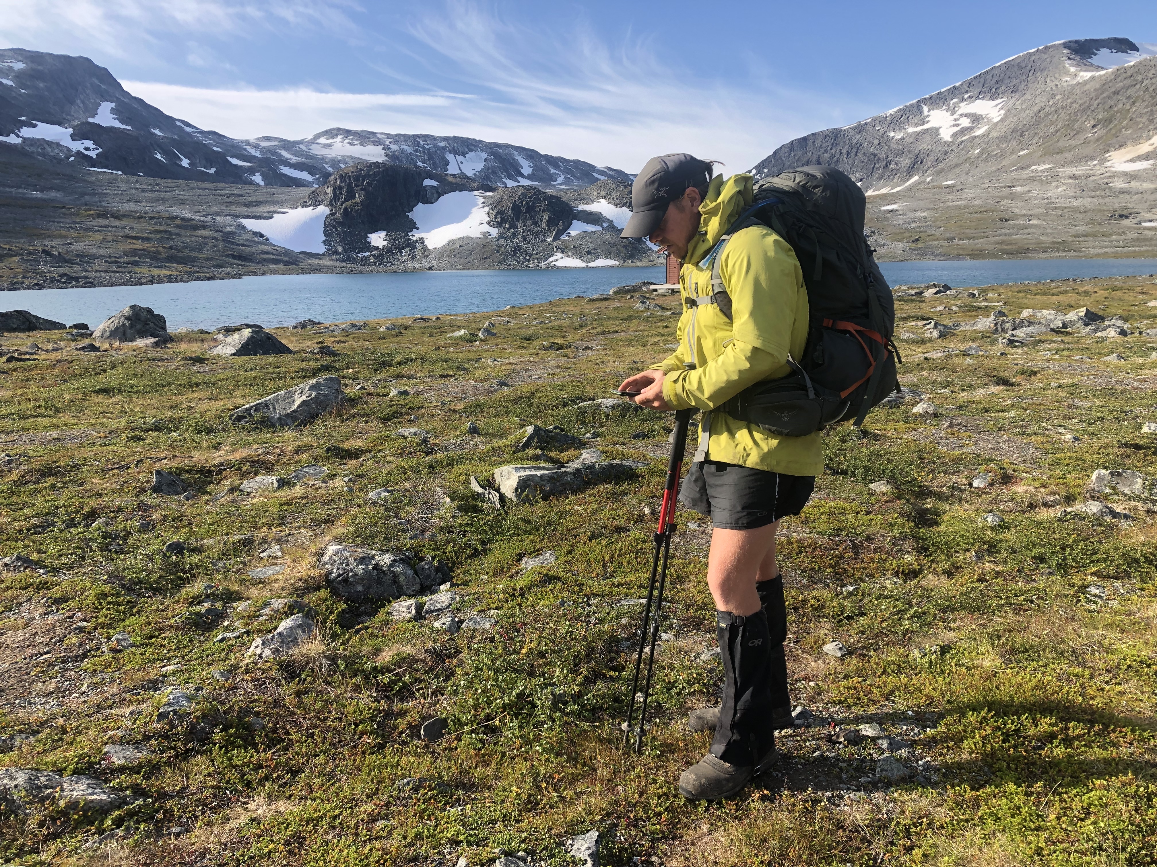
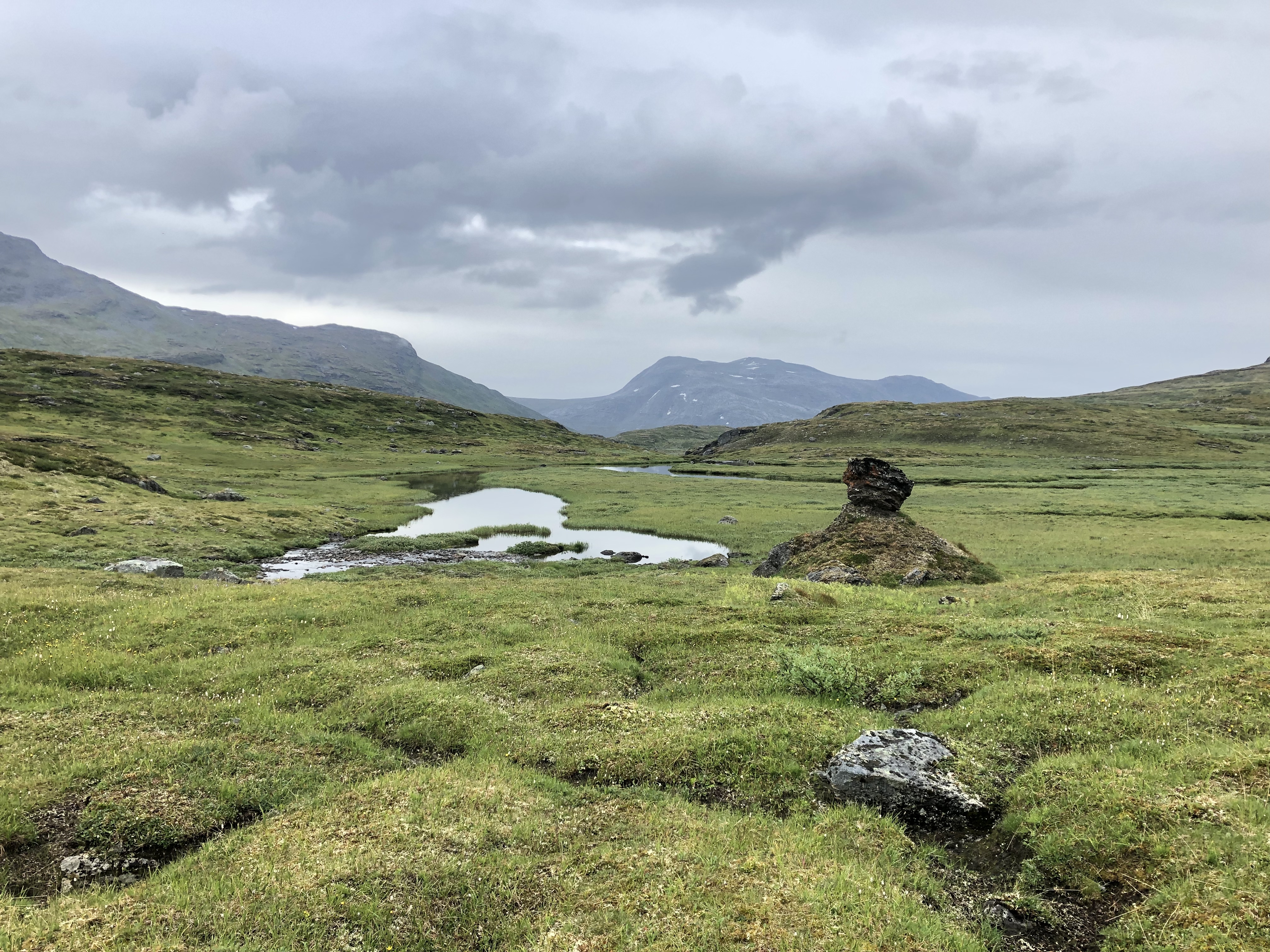
We started the day by climbing over a big mountain pass. It brought us up to a large high elevation basin with beautiful lakes, and snow fields surrounded by big mountains and glaciers. A fair bit of climbing to get there but with absolutely majestic views once up! This is probably the most scenic day on this trip so far! Love it!
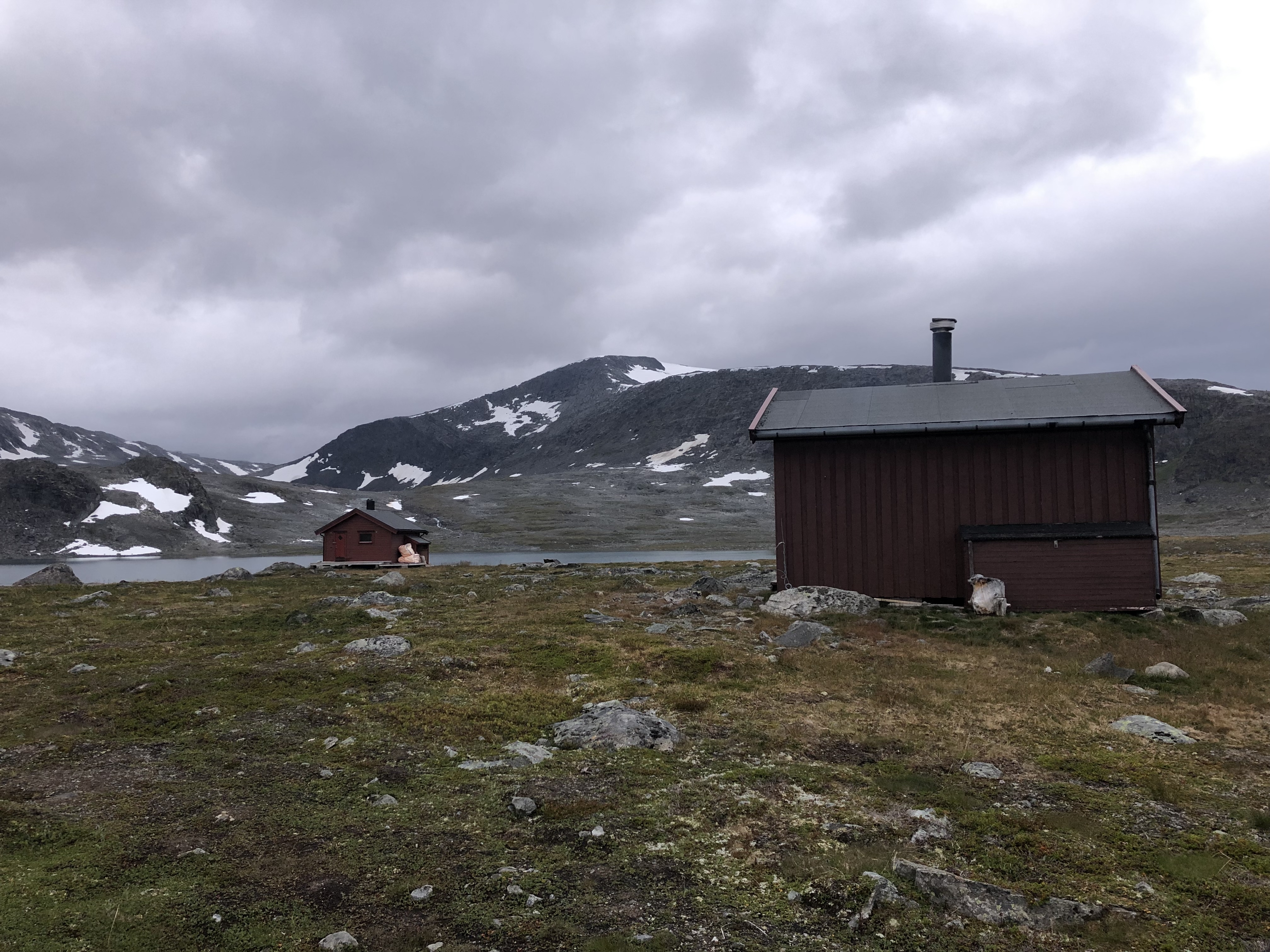
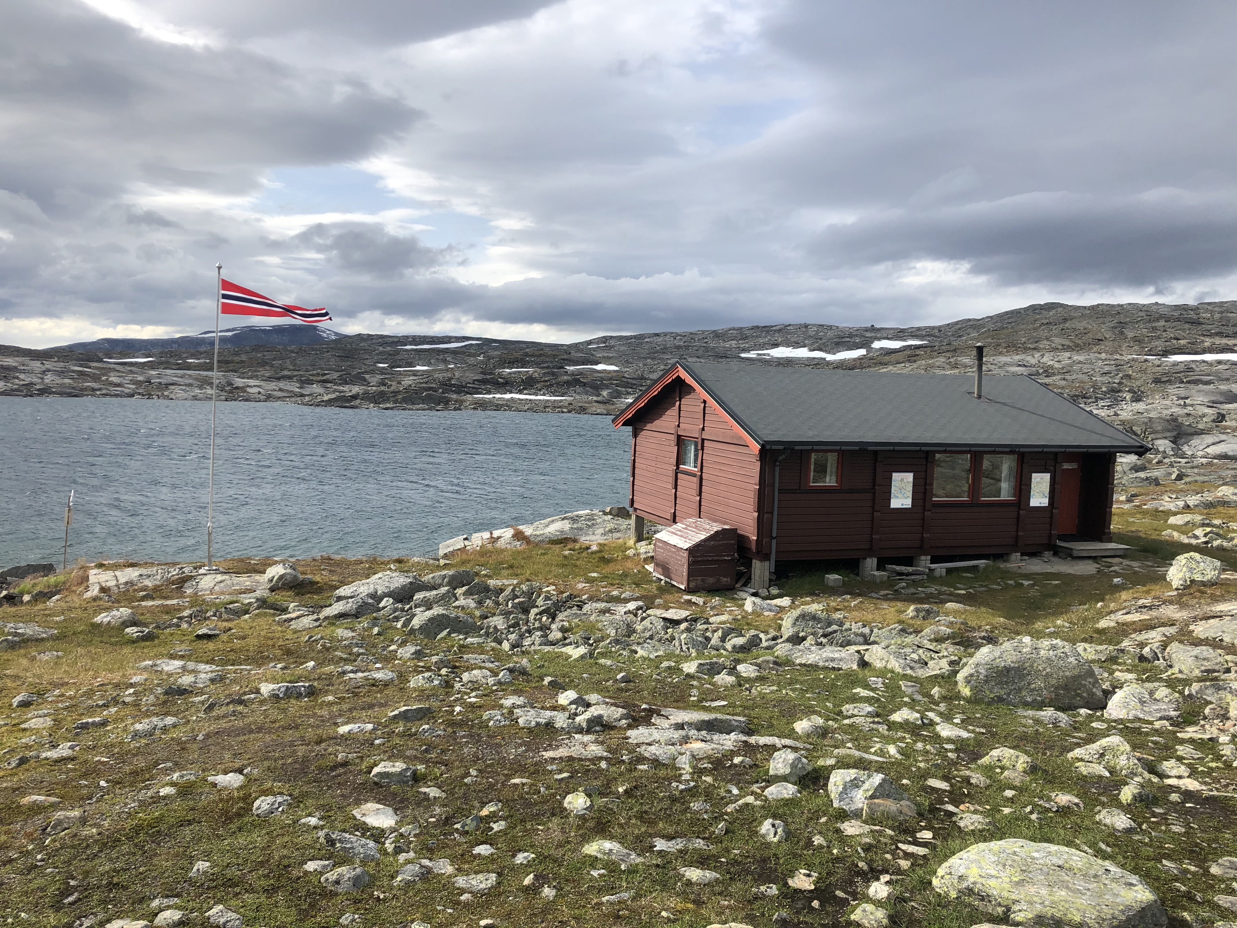
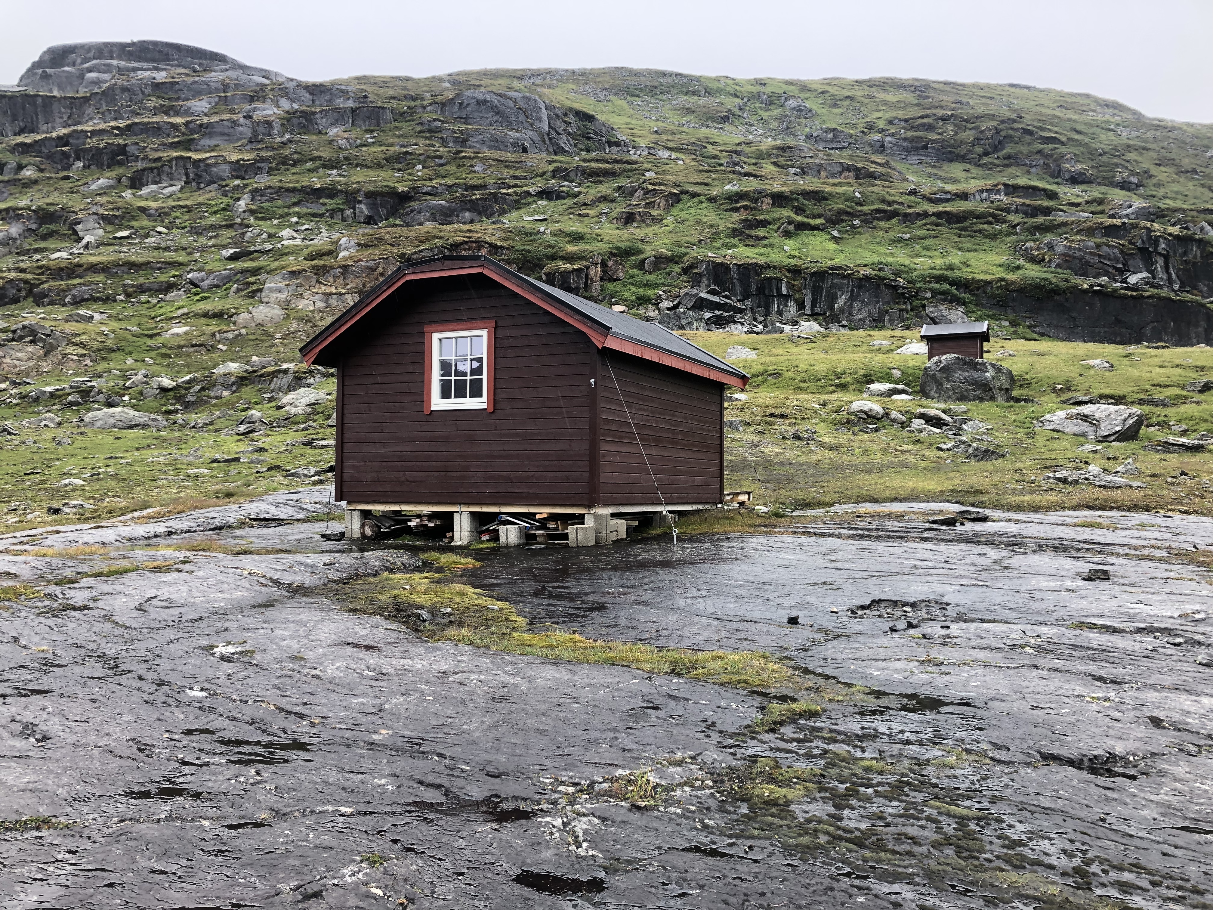
Came across a small two bunk emergency shelter just in time for lunch. Nice to get out of the rain for a little bit. We found it a bit weird that they would lock and charge money for it though as it was marked as an emergency shelter on the map..?
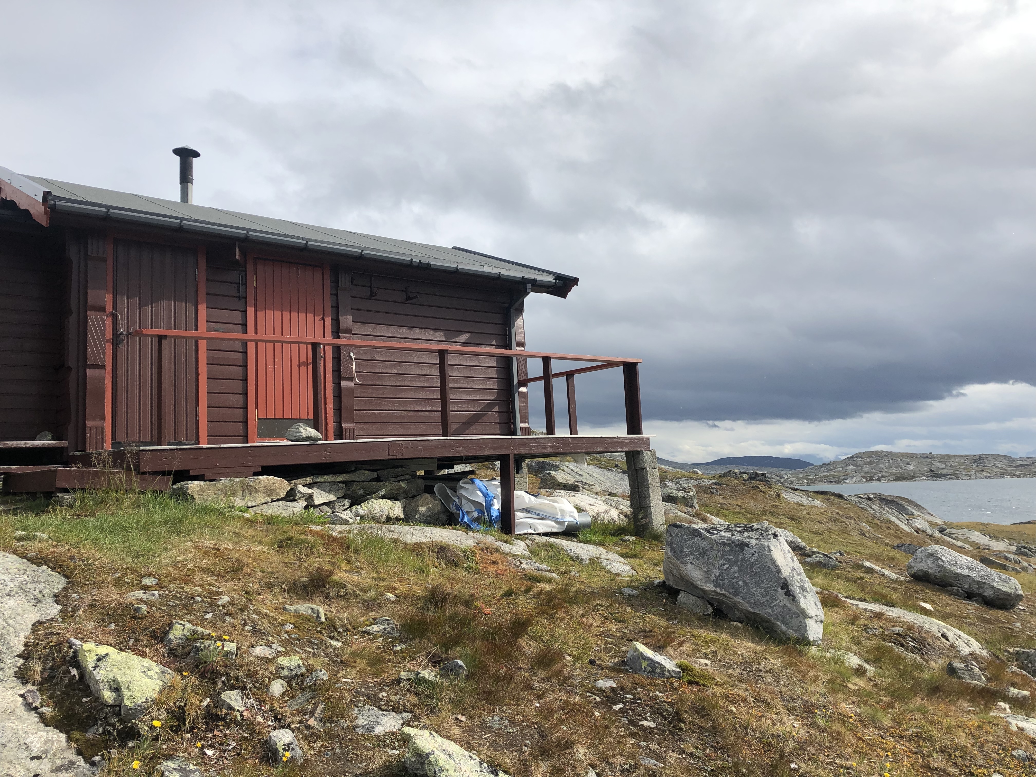
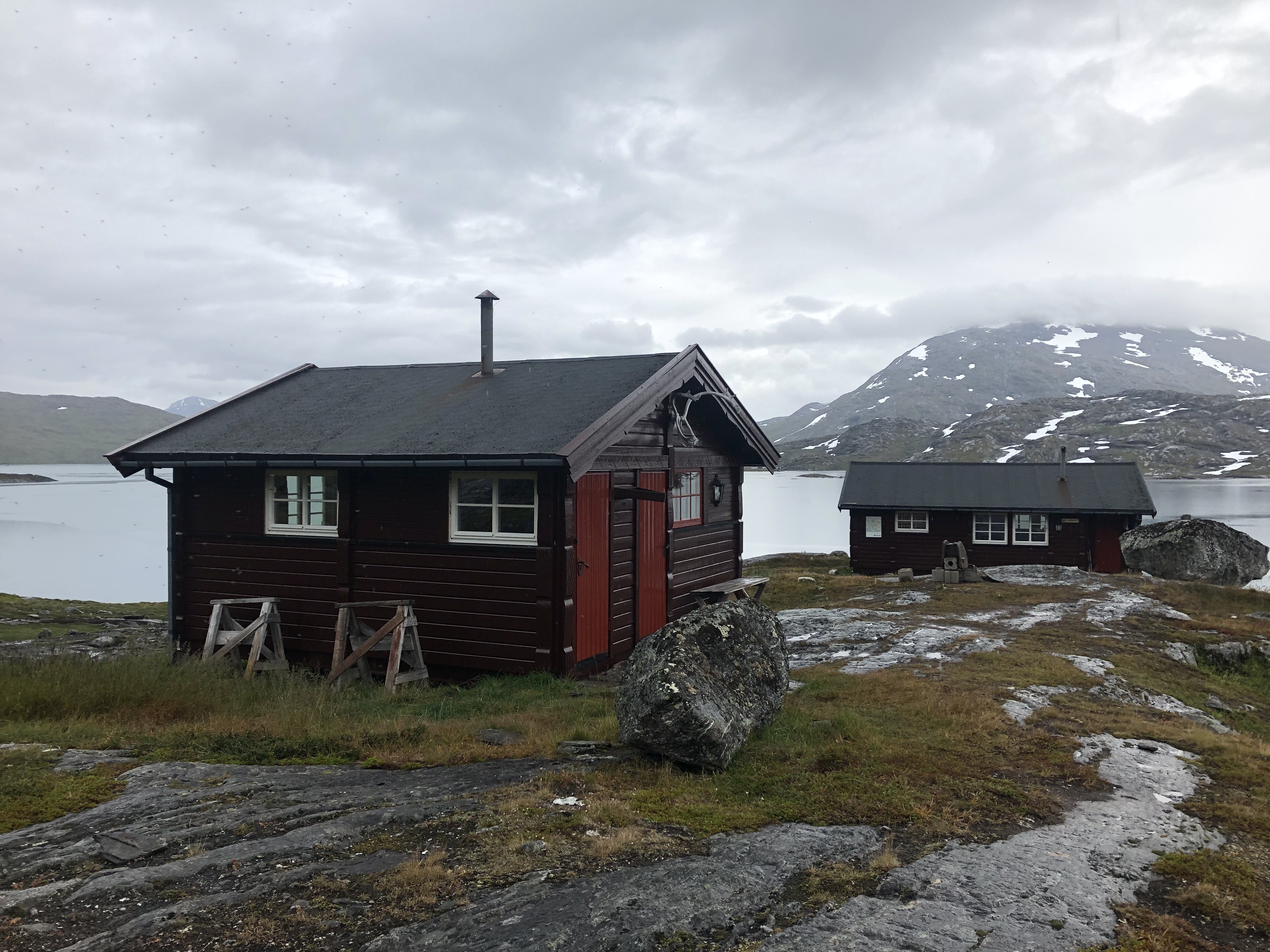
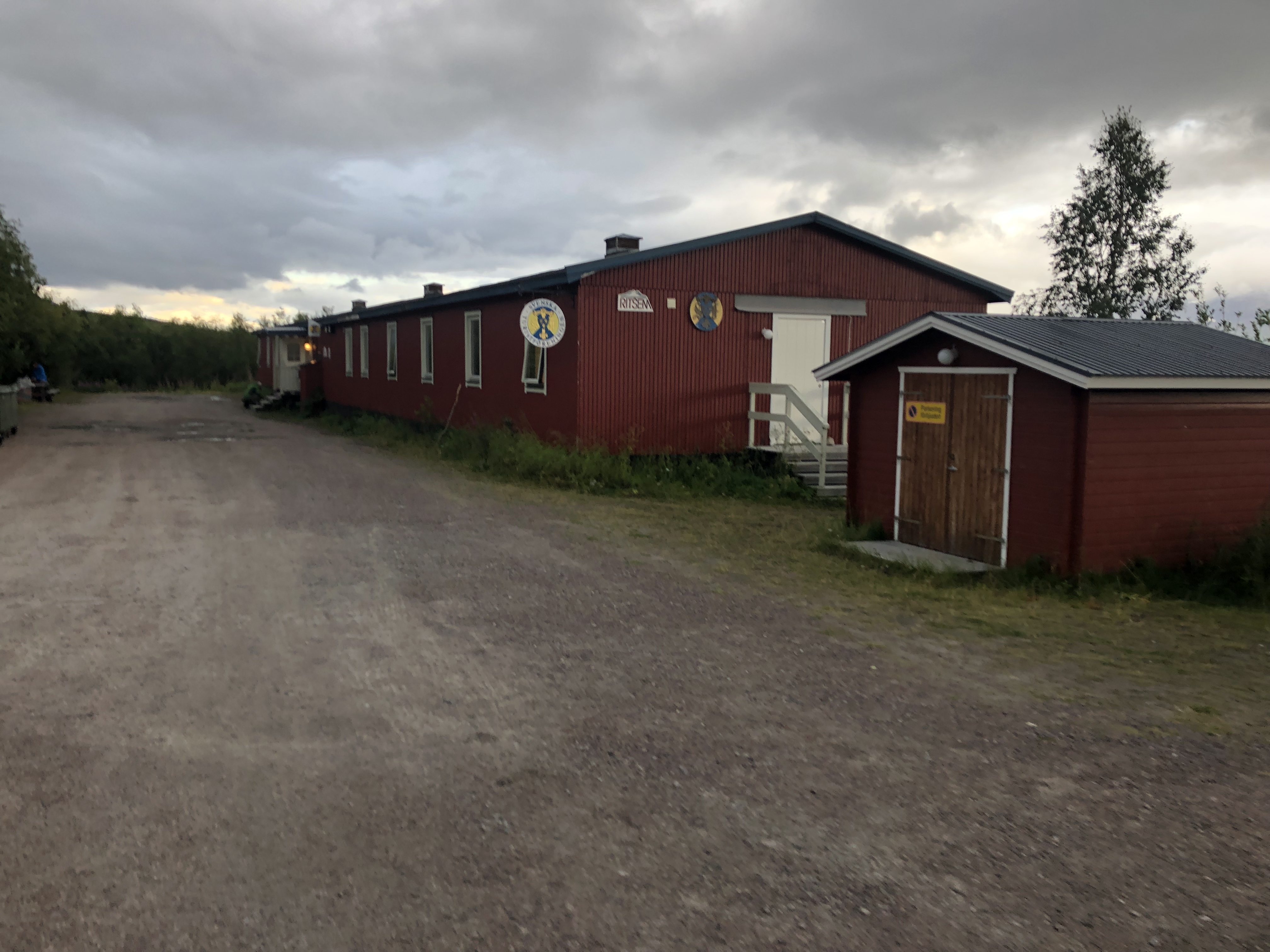
A rather gray and rainy day overall, but decided to stay in a nice hut to dry out our gear tonight. These huts are a nice treat once in a while! We claimed the annex as there were already a group of 4 in the main hut. They are canoeing through here, dragging their boats between lakes. Coo ideal! They were very nice! Offered us some fresh caught fish (sorry but we are vegetarian) and gave us some tea!!! Super nice! Thank you! 🙂
Day 55: Gränsleden – approaching Ritsem
Distance: 31 km (919 km total), Weather: cloud with sun, heavy rain in the afternoon/evening
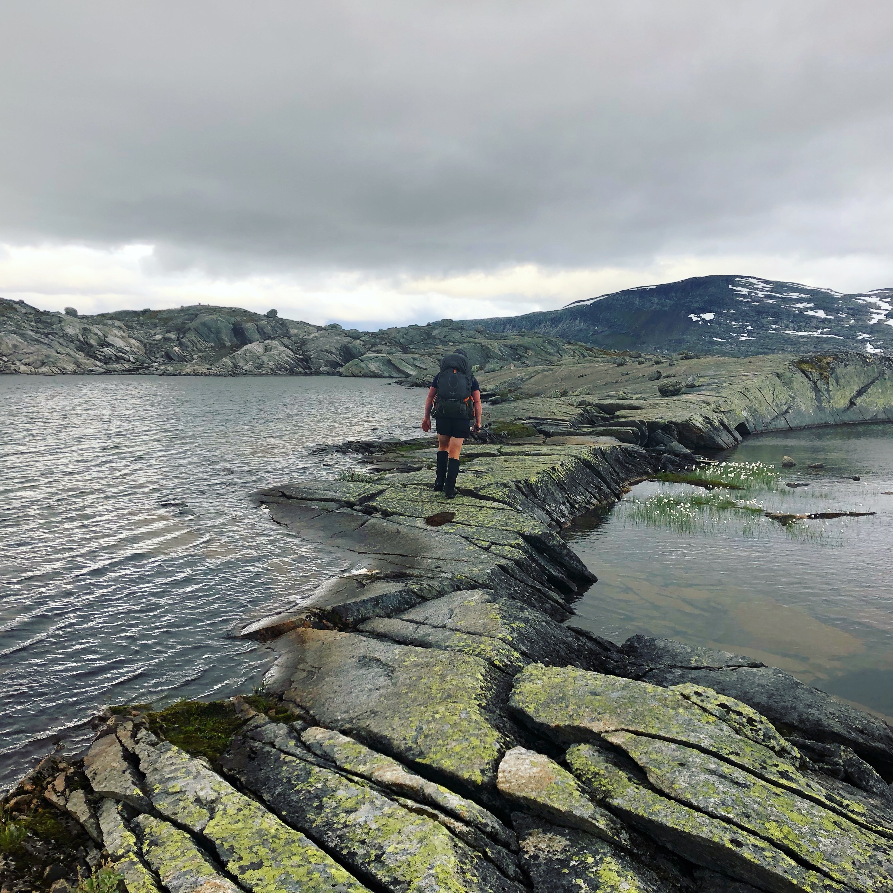
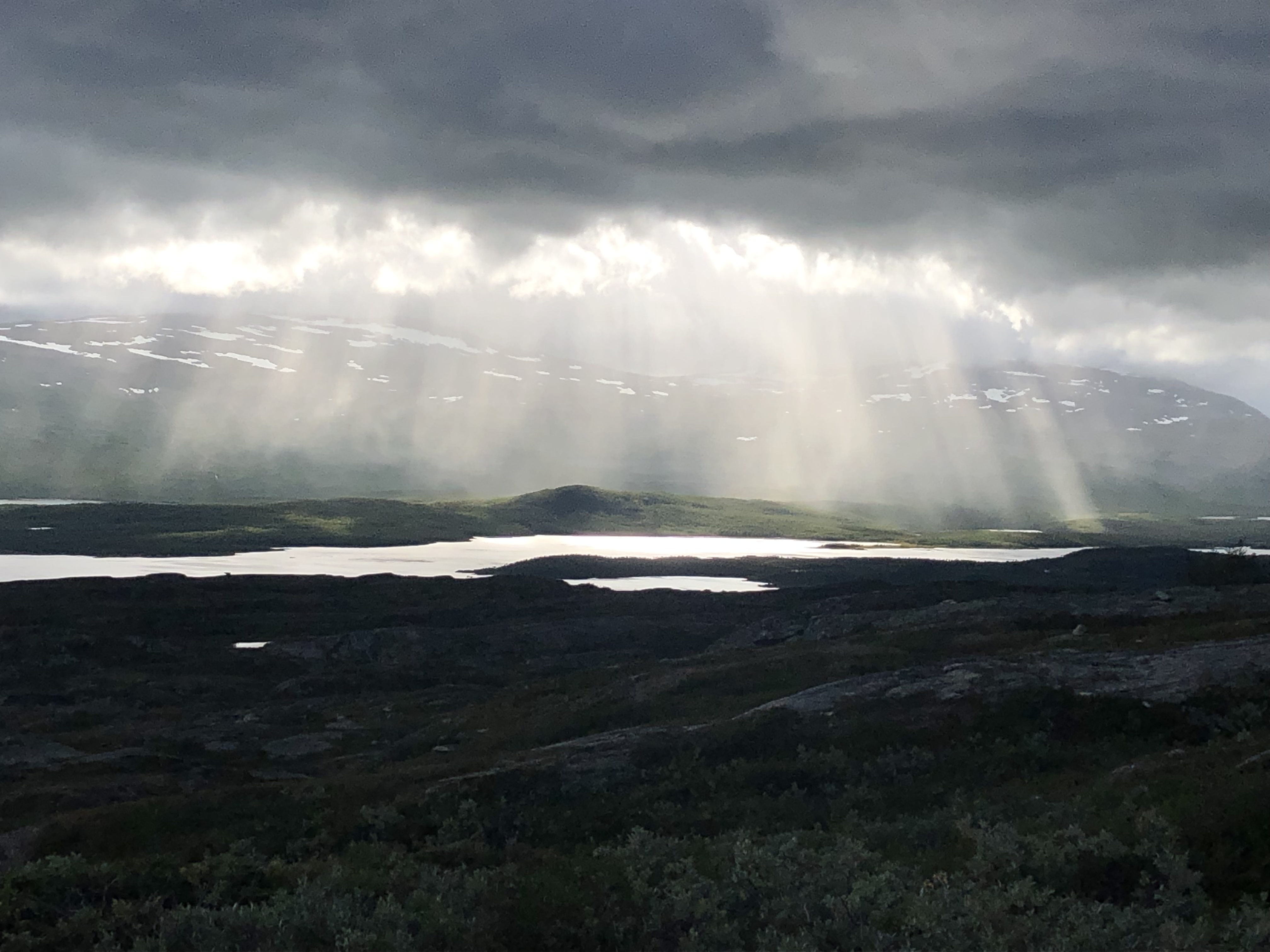
Woke to much better weather! Sun and clouds for most of the day. Beautiful stretch along high mountain lakes.
The row boat section on the trail, having been plagued by trouble according to the stories in the hut book, had been replaced by brand new bridge just two days ago! Sweet! Lots of water crossings and bridges today.
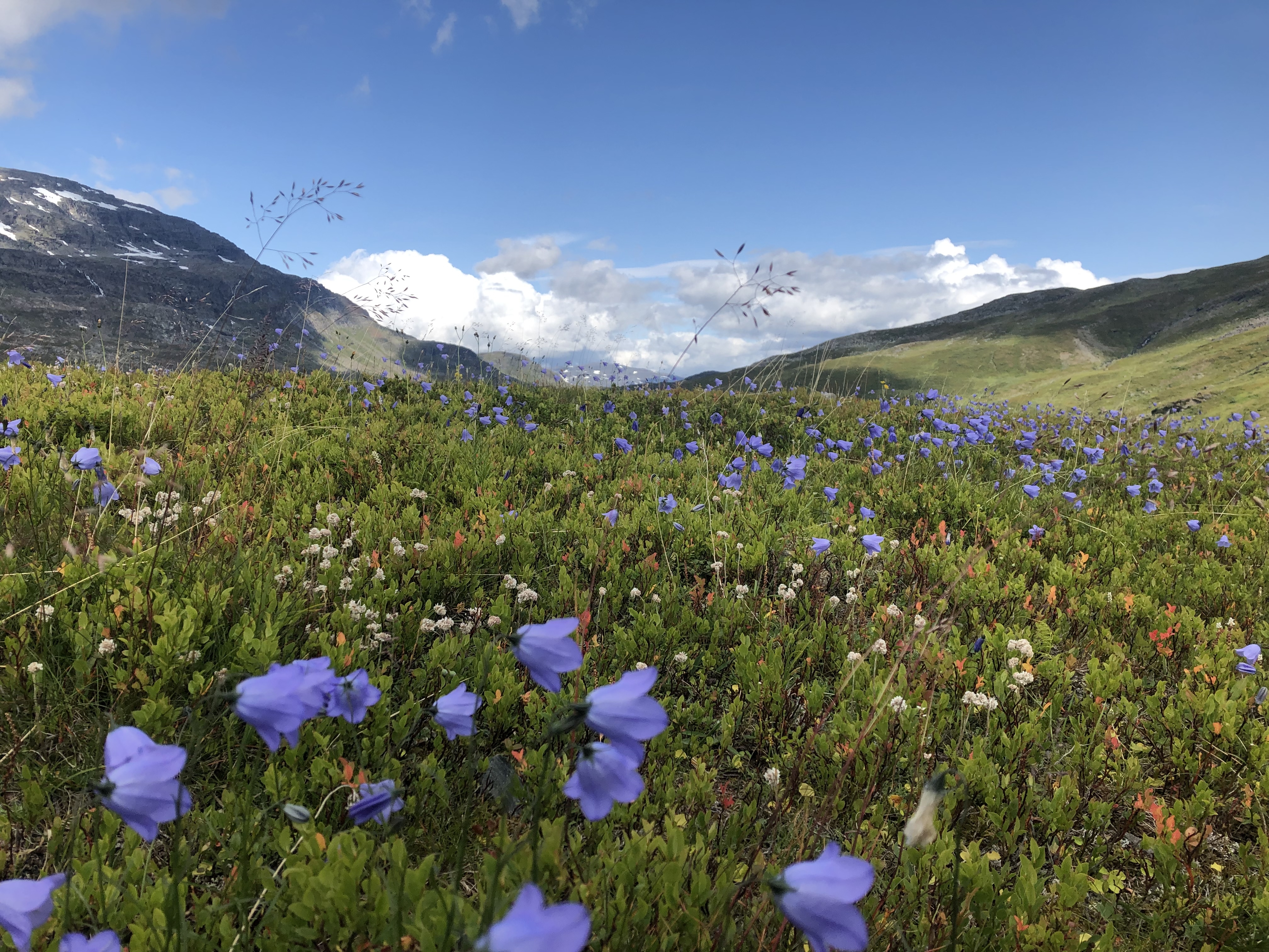
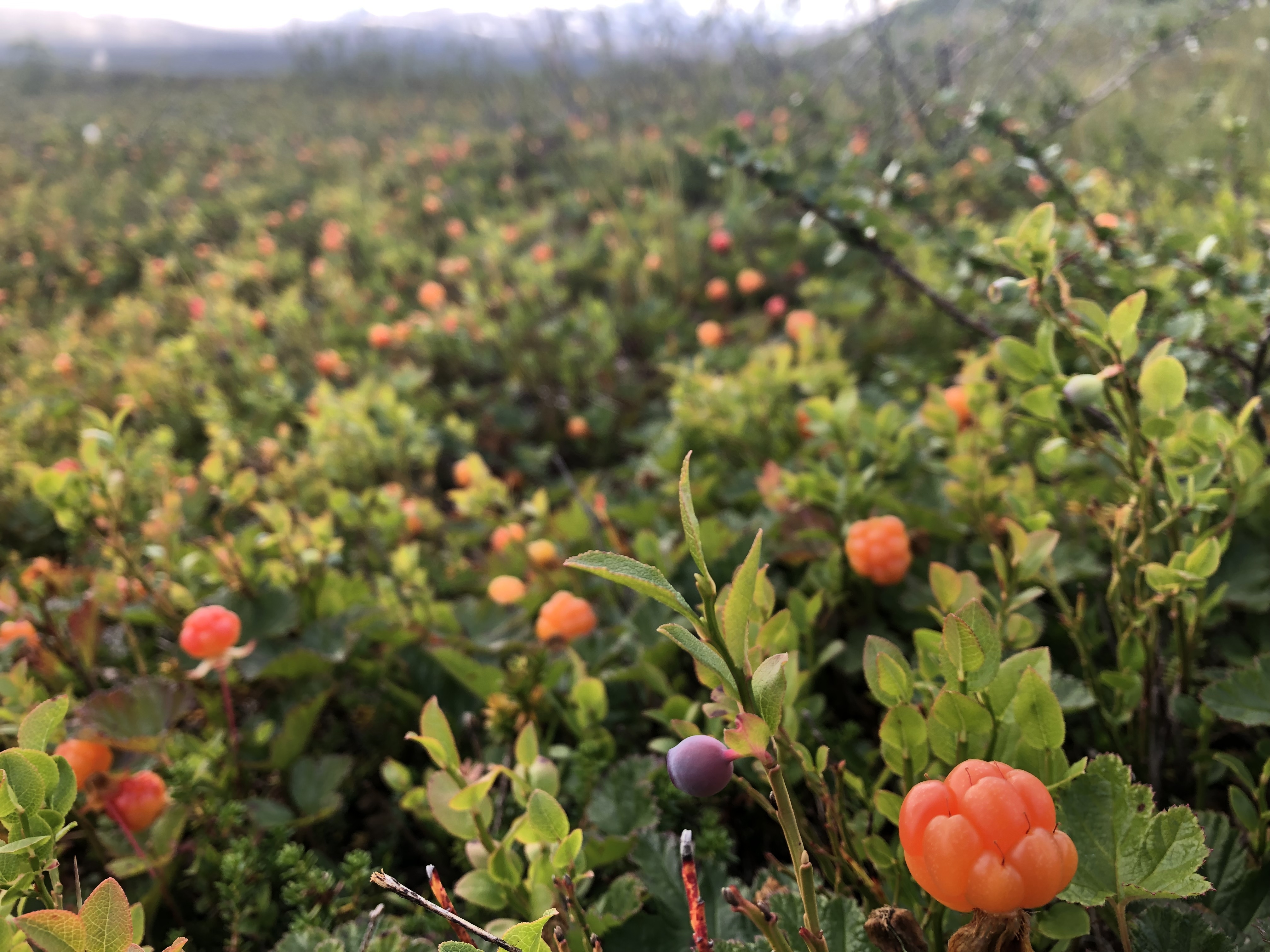
We decided to skip the next hut and take a shortcut to Ritsem, in combination with pulling two big days we are saving a whole day. We feel a bit worn, it has been a demanding section, so we are planning a zero day in Ritsem to rest up a little bit — and eat! We are scavenging the trail for berries as we go. Beautiful cloudberries and blueberries are ripe and sooo tasty! A nice energy and morale boost!
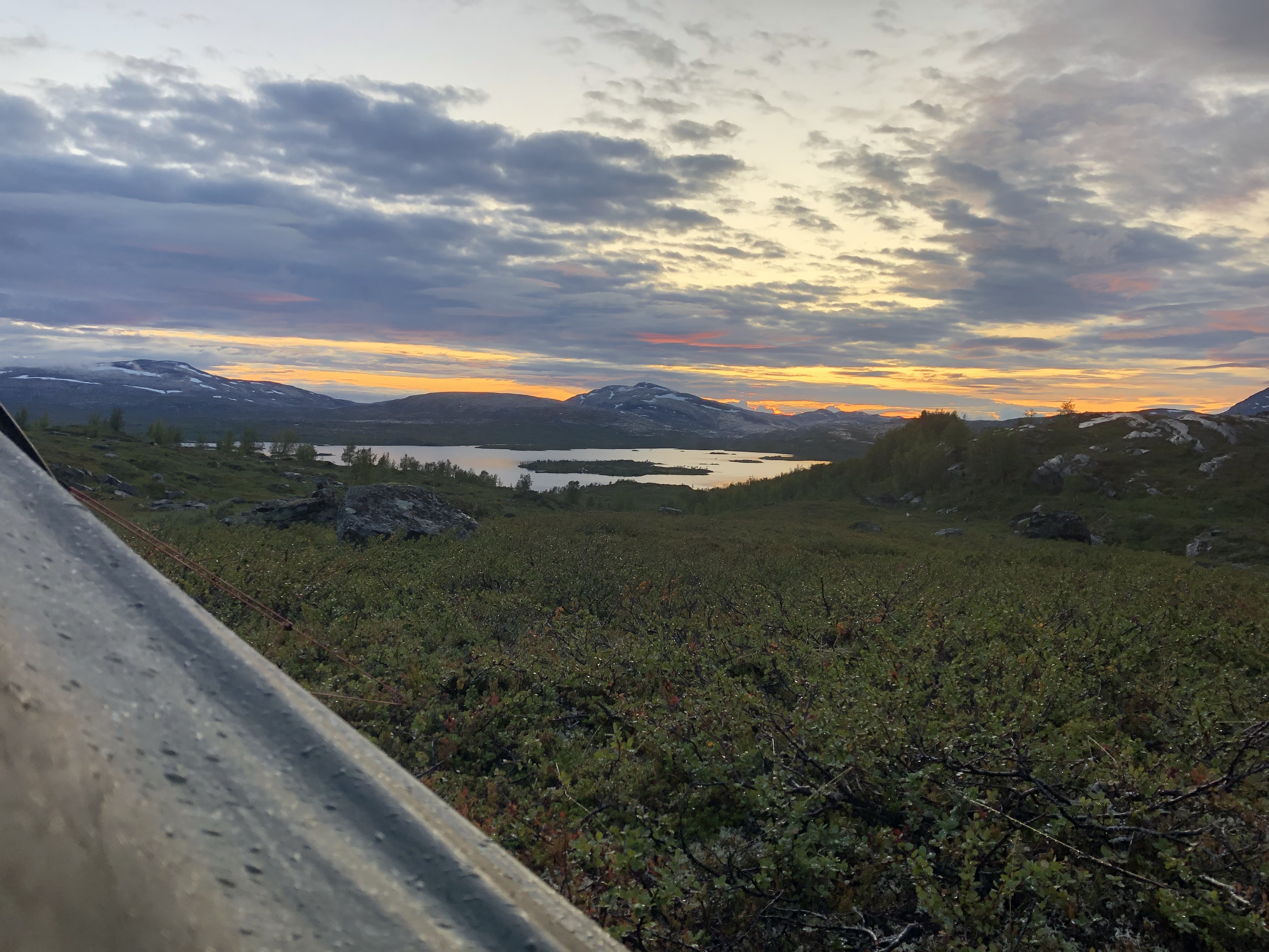
Weather was nice until the very last hour. It started with some drizzle, then the rain picked up so we made camp. By the time we were settled inside all hell broke loose. Three hours of heavy rain! Eventually the weather cleared revealing a beautiful sunset.
Day 56: Ritsem
Distance: 37 km (956 km total), Weather: cloudy
We woke to a wet world. We packed up and braced ourselves for a long day. We really wanted to push into Ritsem one day early so we could take a rest day without loosing a day. We are feeling the time crunch… winter is coming.
We finally arrived at the mountain station in Ritsem after an arduous 37 km day of roller coaster trail up and down the hillside following the dig lake. We picked up our food box and settled in. A hot shower and food, lots of food, and a warm dry bed looked really good!
We will chill here tomorrow too and rest up a bit. This past section has been beautiful but pretty demanding with lots of climbing and technical trail.


Thanks for the nice chat (and the campfire) by Kamajåkka! You guys really put some ideas into my head. 🙂 The very thought that what you’re doing is possible makes my life feel a lot less claustrophobic. I look forward to following your journey, and wish you the best of luck on your adventures!
/Tim (half of “the young couple hiking through”)
Hi Tim! Very nice to hear from you! We are super happy to hear that our journey is an inspiration to you. ? You only live once, so follow your dreams!!! Great to have you follow along! Take care!