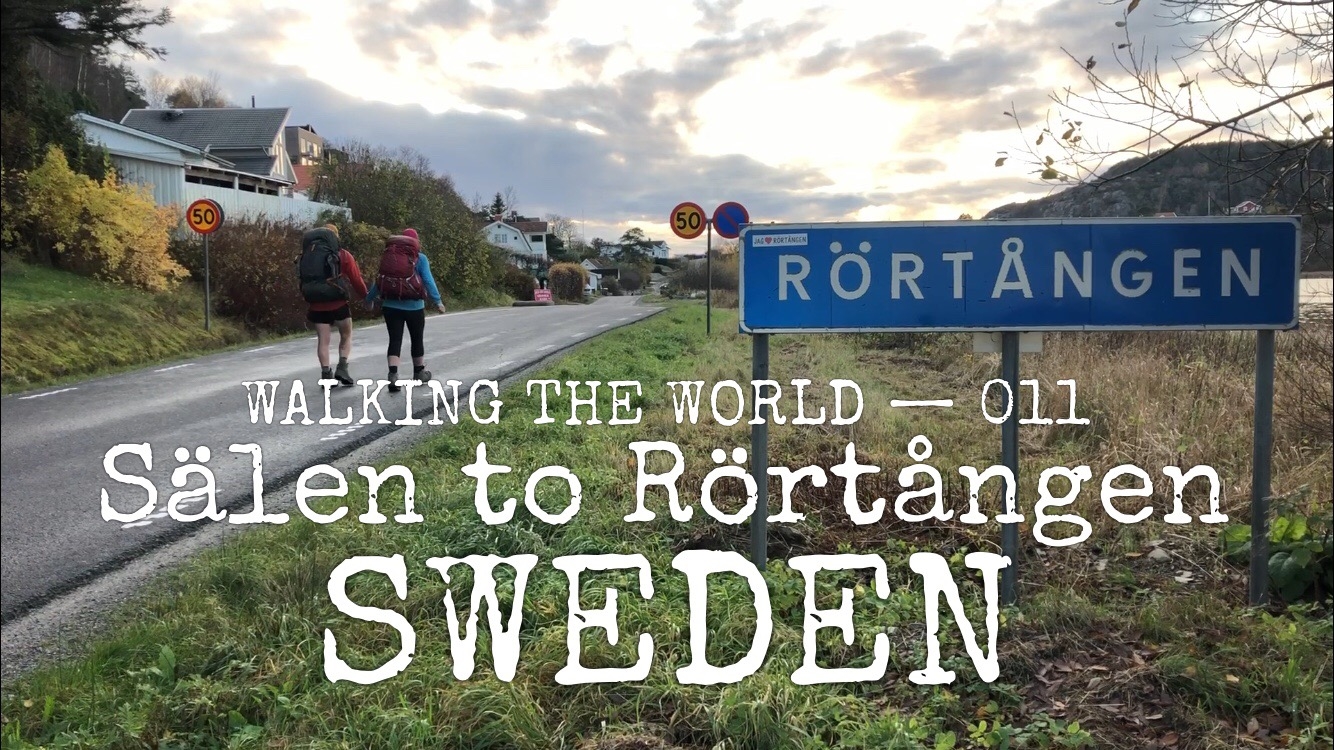
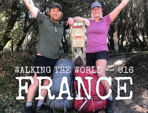
Walking the world
- Sweden: Sälen – Rörtången
- 13-28 October, 2019
- 596 km (2712 km in total)
- Scandinavia
Summary
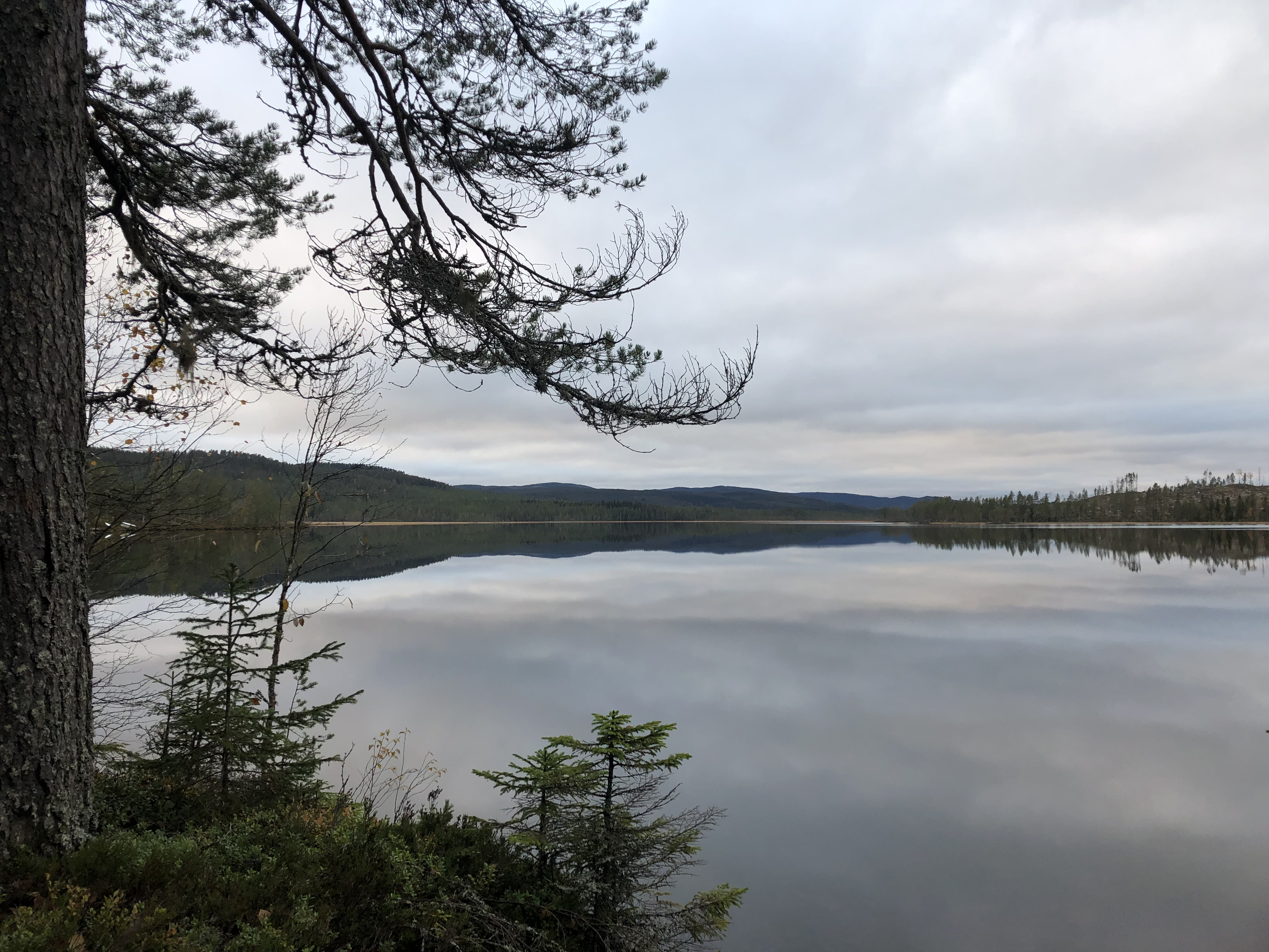
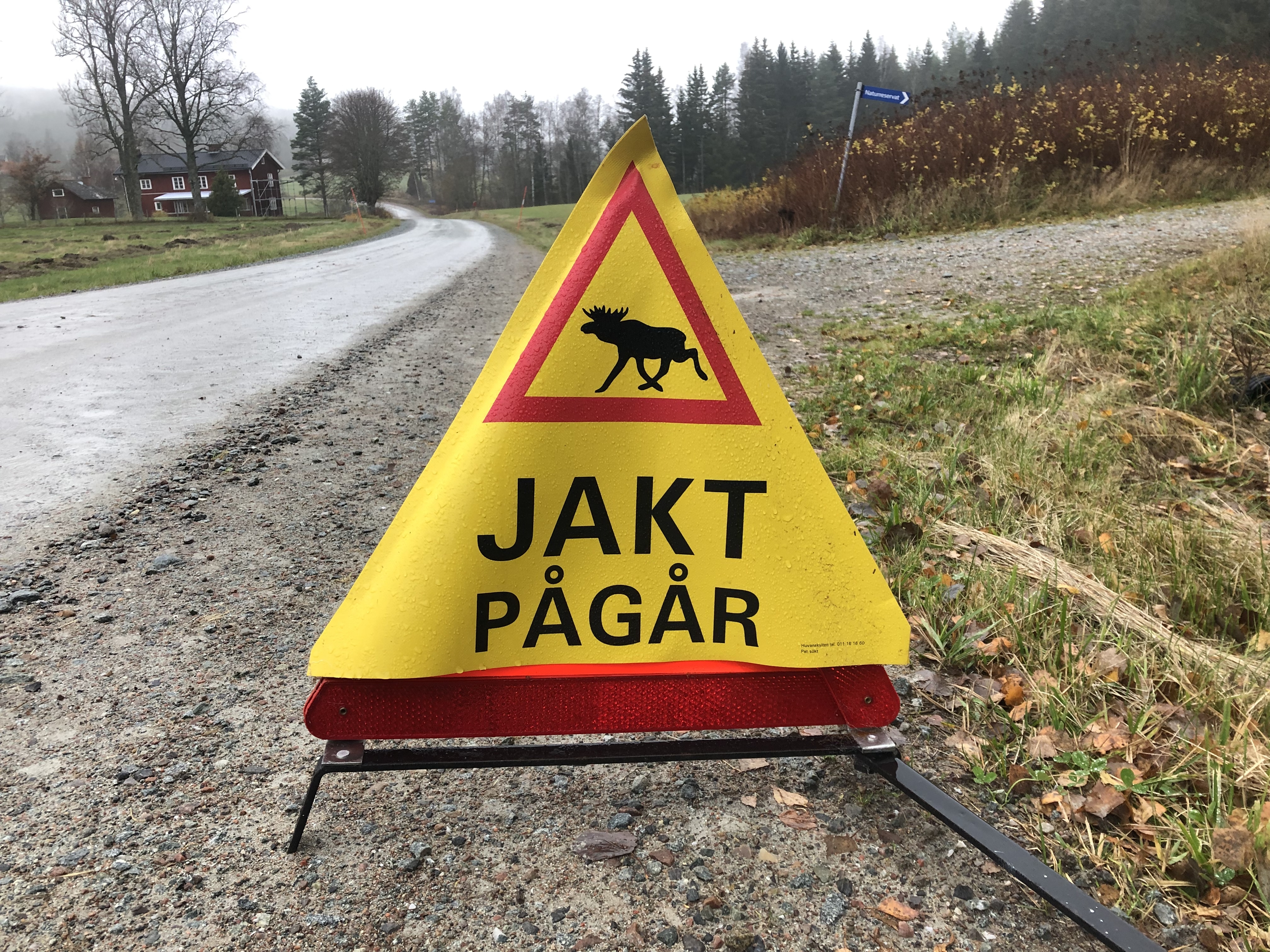
One of the biggest challenges hiking in Scandinavia in the fall is not only the dropping temperatures, but the rain! It has been a very wet couple of weeks for us. So the grounds are saturated and flooded in many areas. That, in combination with the yearly moose hunting season, prompted us to stick to the roads instead of hiking trails for this section.
Trail description
Terrain
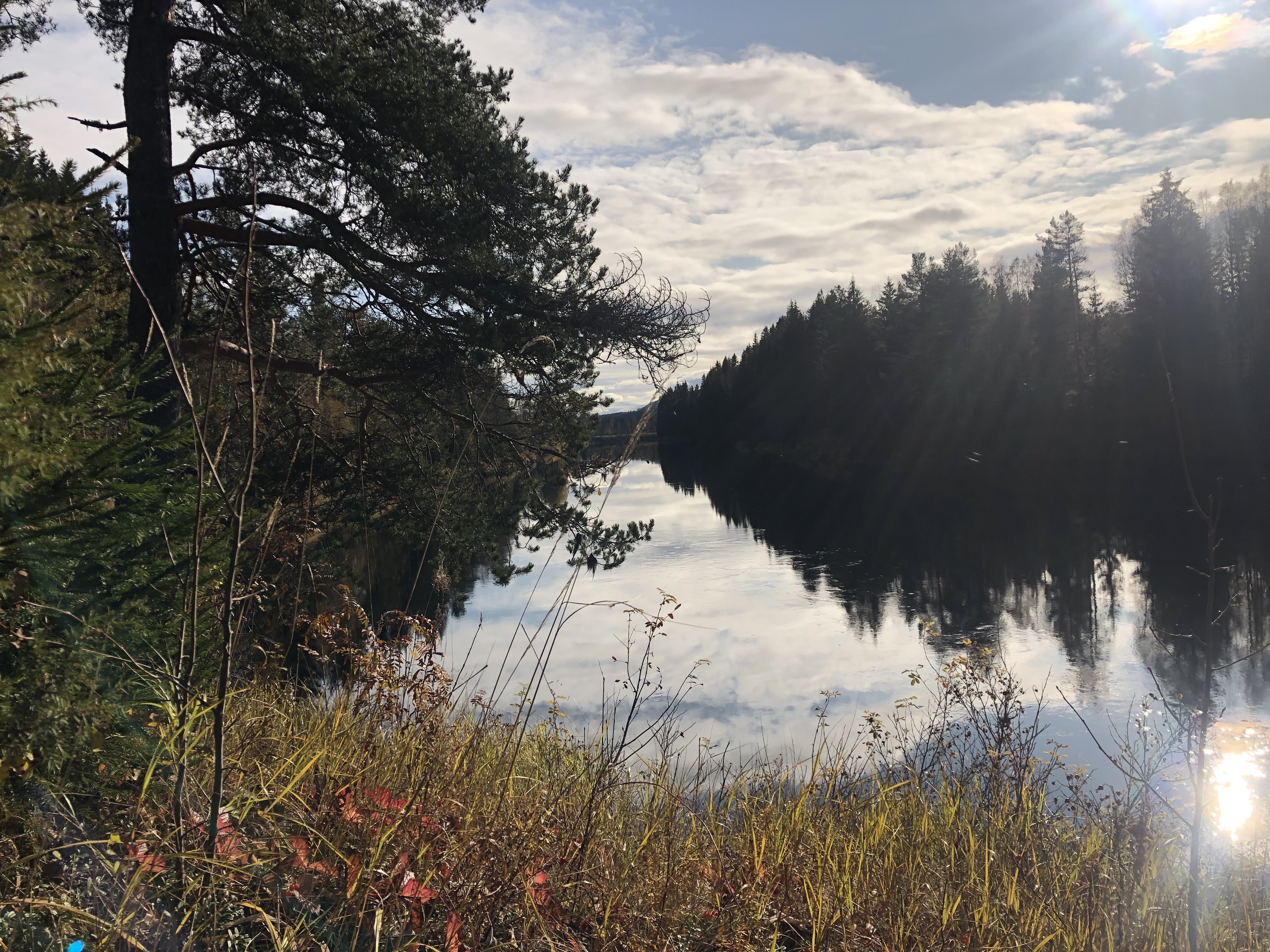
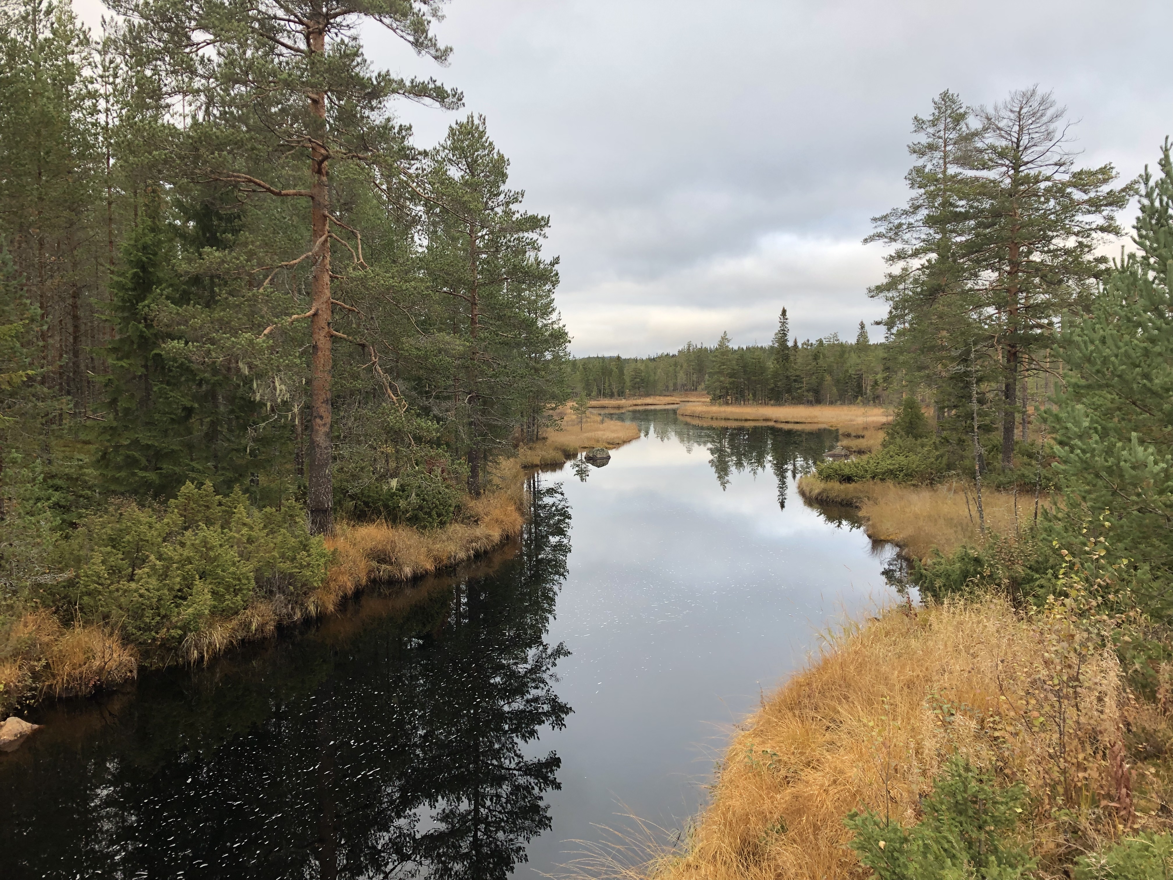
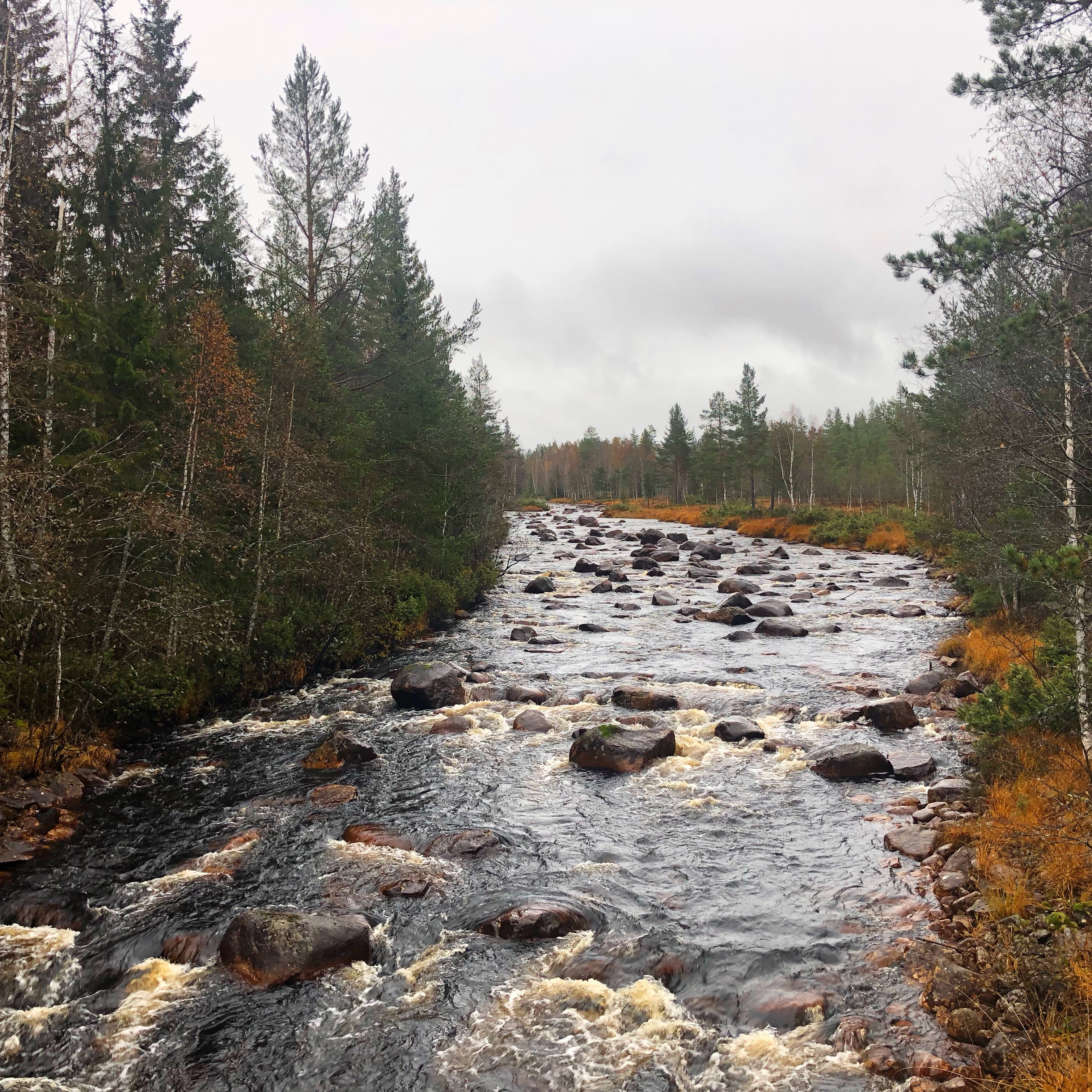
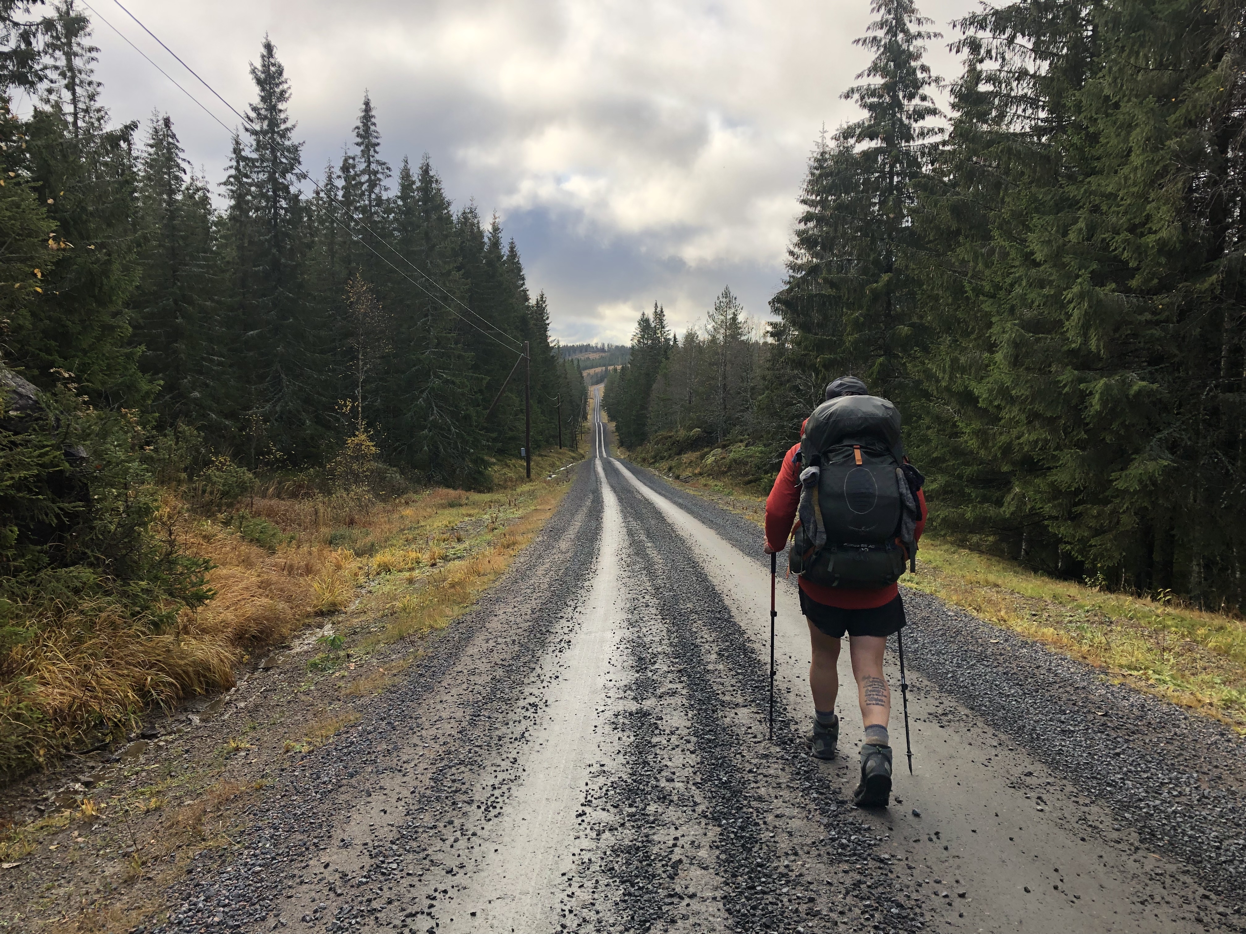
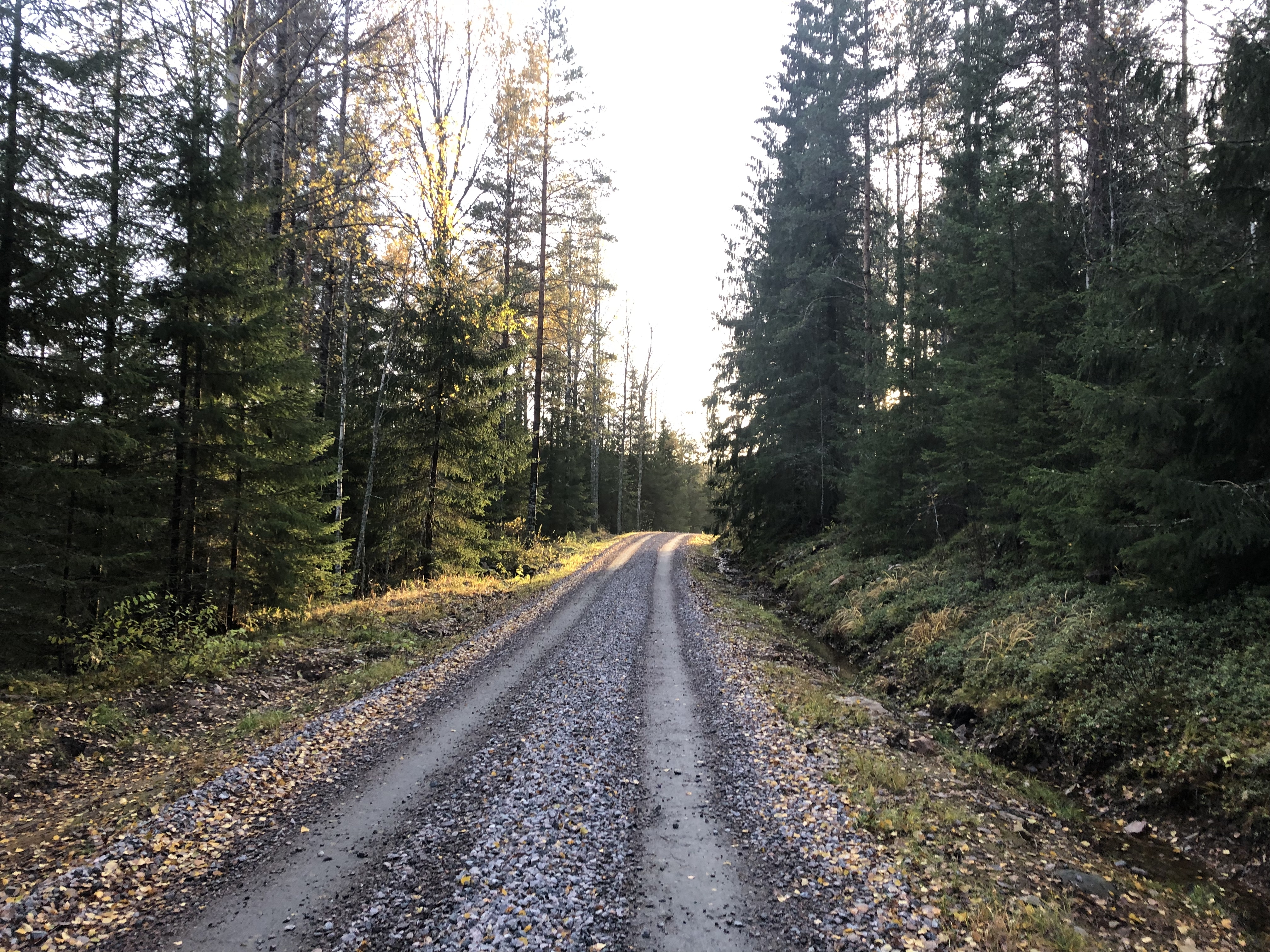
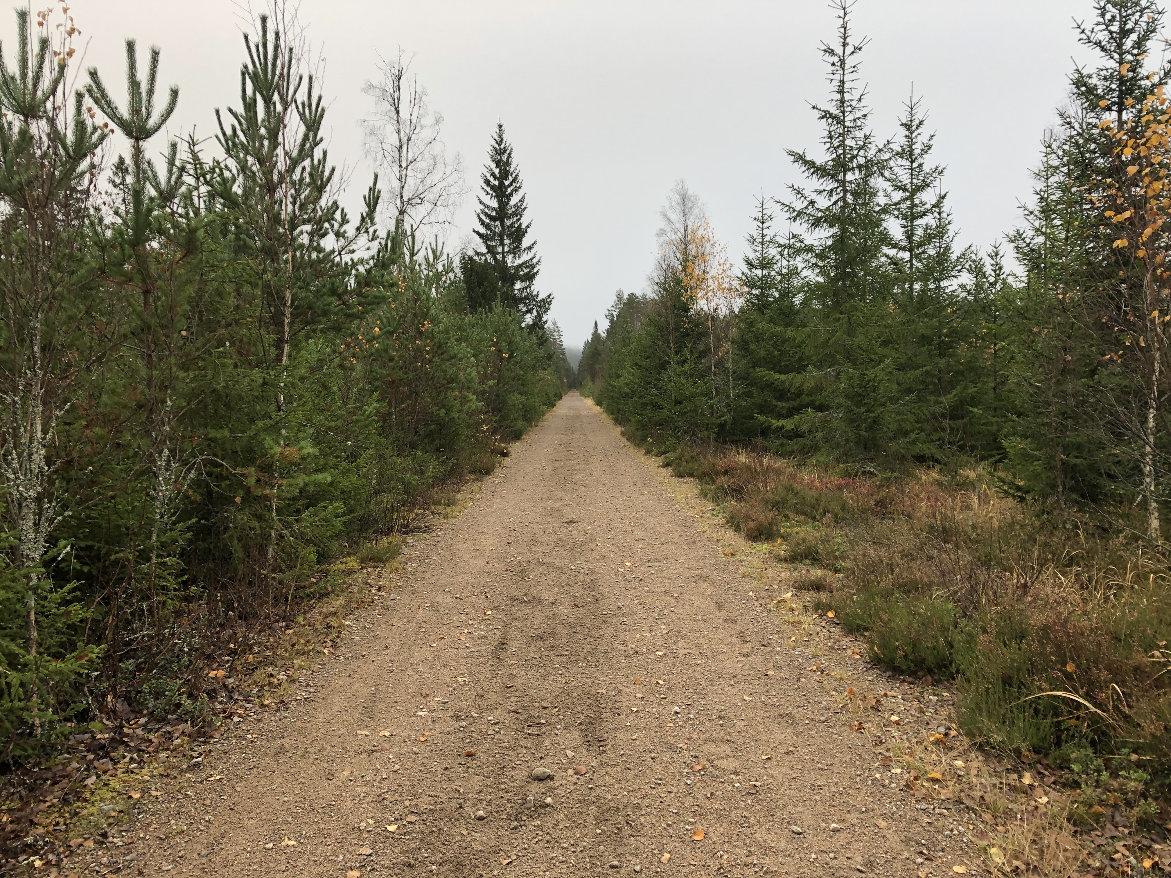
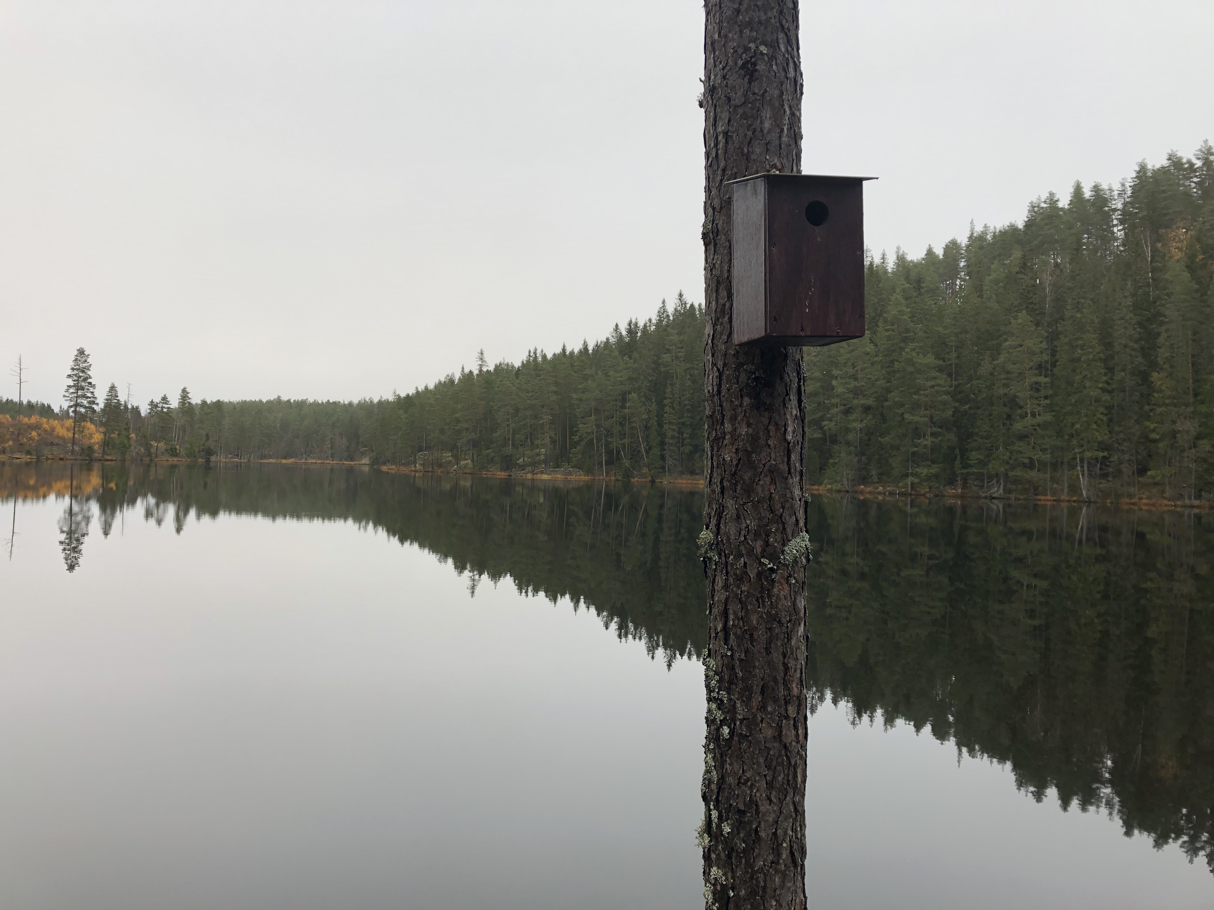
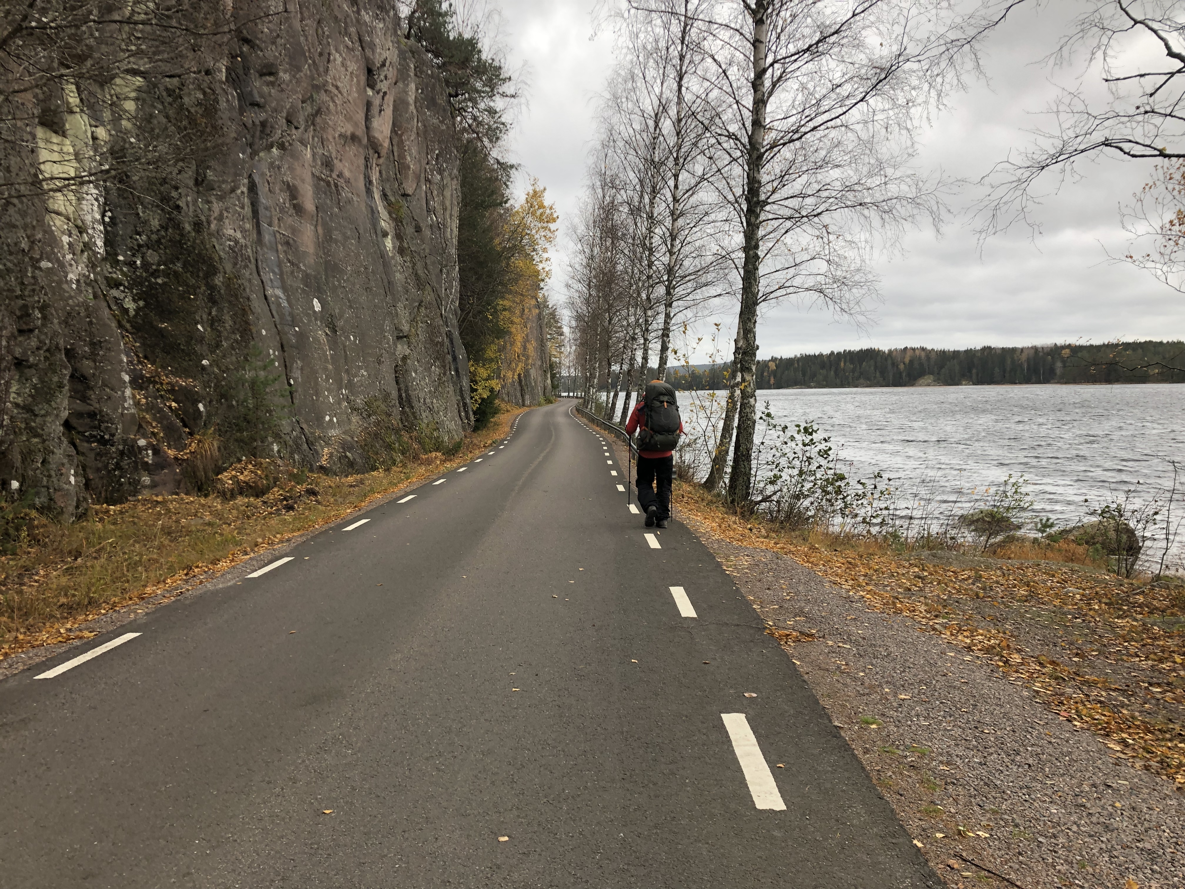
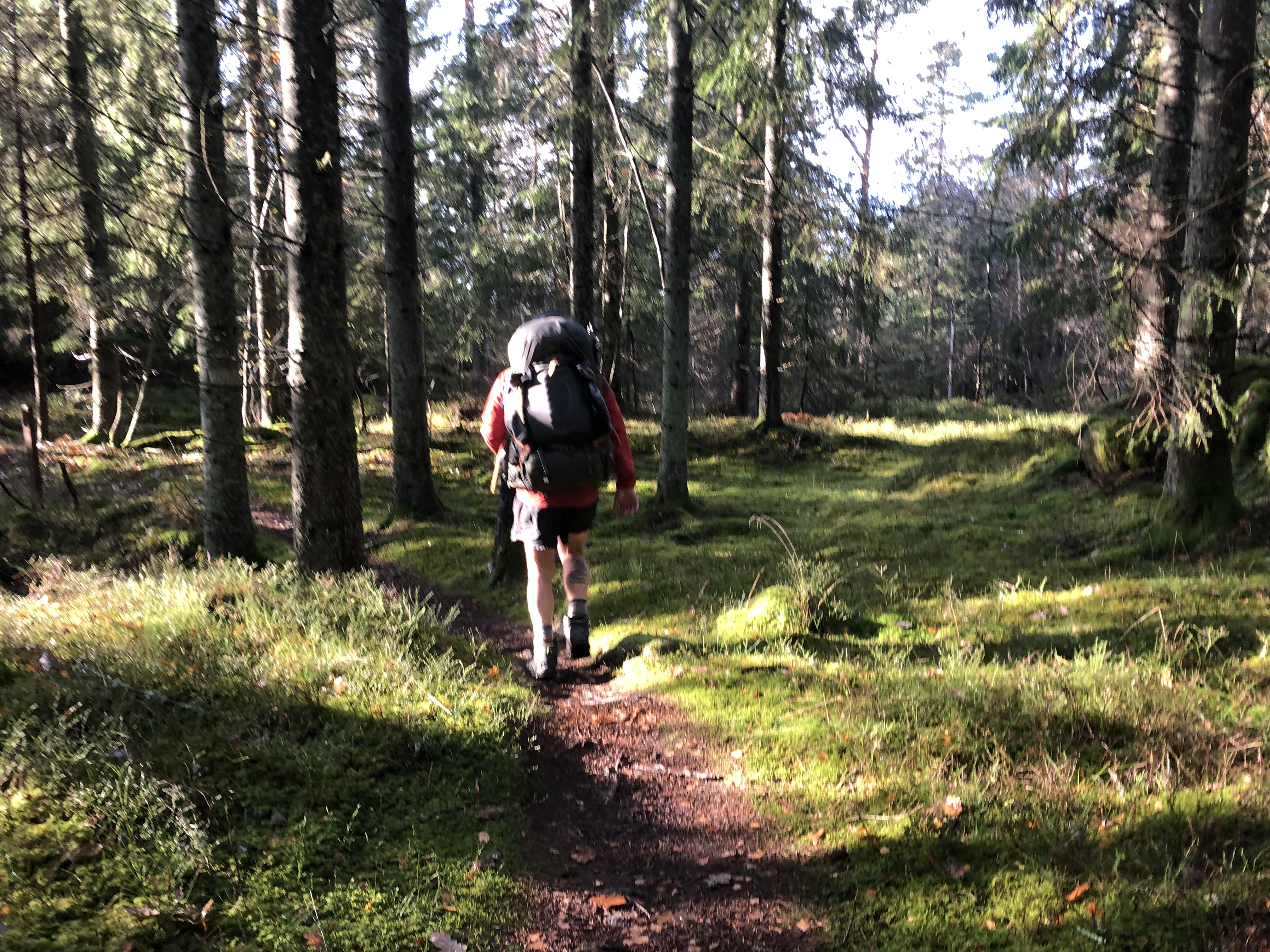
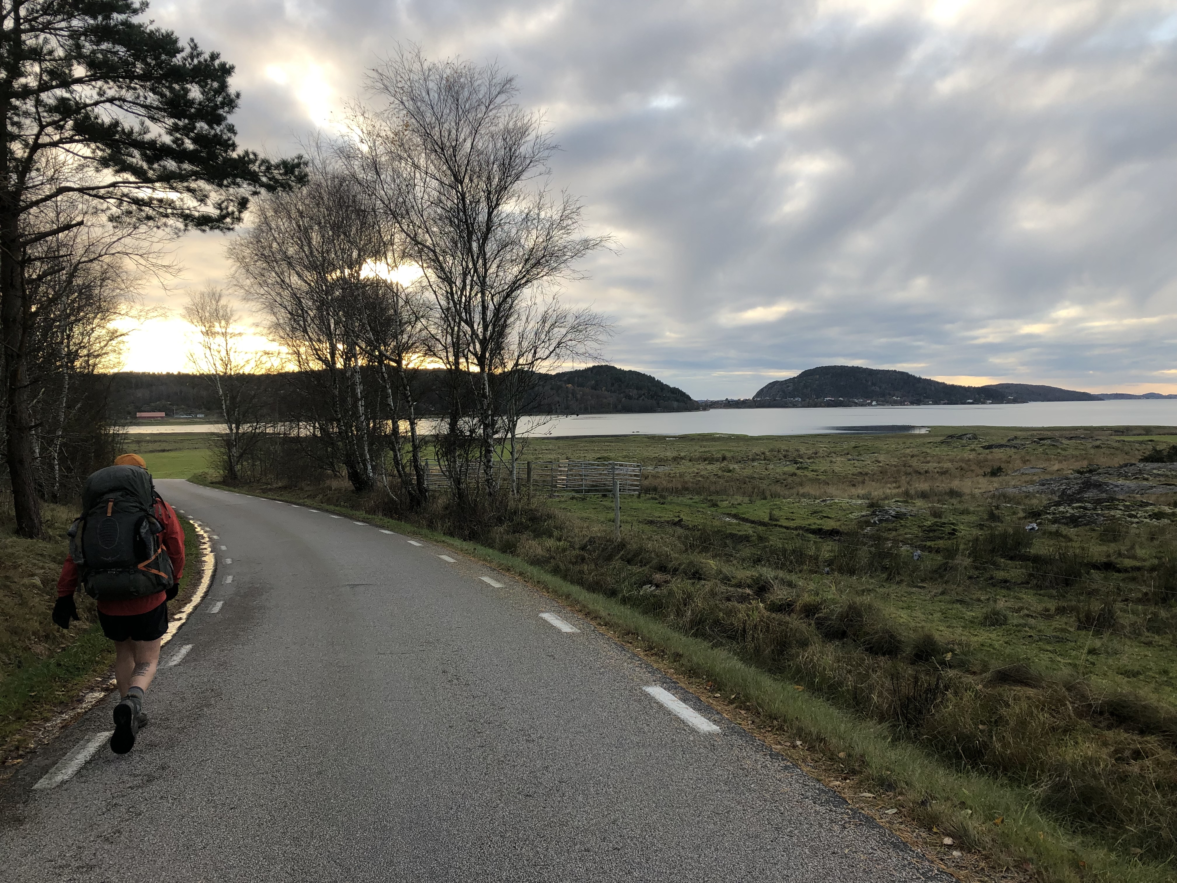
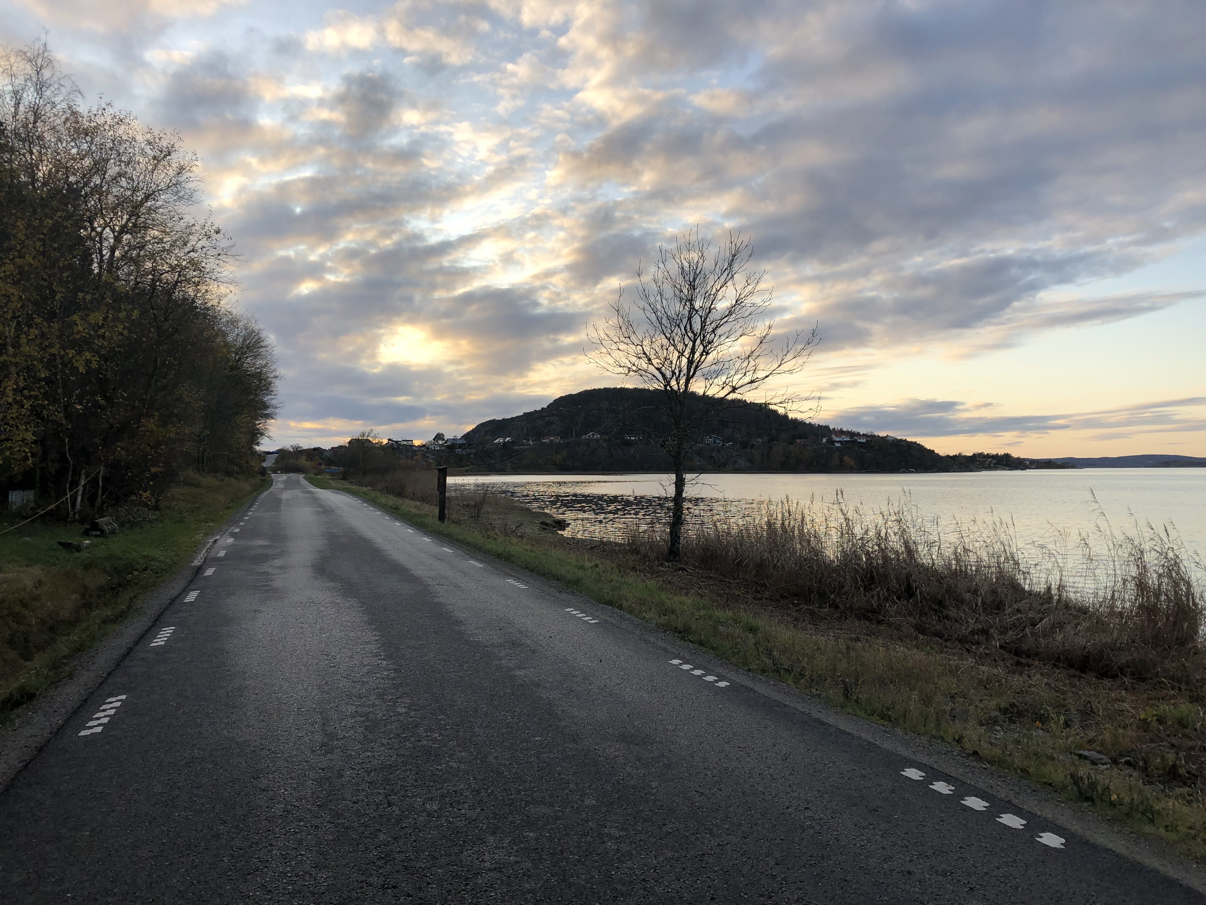
We make our way through middle Sweden were smaller quieter roads and old forestry roads become our trail south. We drop down into the lowlands where deep forests eventually give way to rolling hills and farmlands. We end up using an old railway line to navigate the flooded paddocks. We try to link as many bike paths, footpaths and trails as possible to give us a direct route to the beautiful granite west coast were we entered a lot more urban populated areas. It was a very quick route and we walked the 500km south in just 15 days.
Trail journal
Day 109: Lima
Distance: 34 km (2250 km total), Weather: sun with clouds
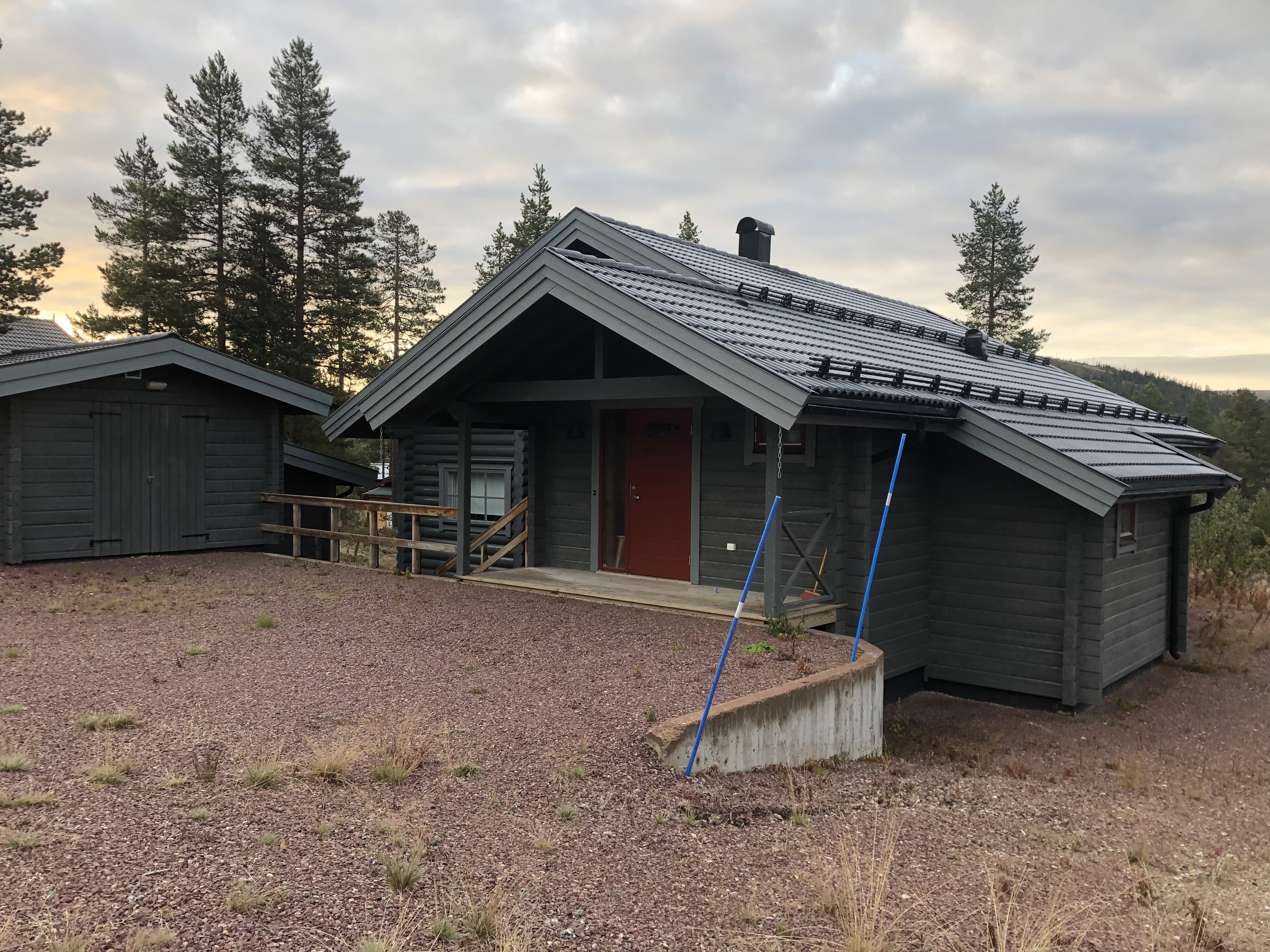
Back on the road again after a few amazing rest days in the cabin. A beautiful clear day after many days of fog and mist! Walking the main road today and a bit tomorrow before we bail onto smaller backroads. Lots of cars today! More than expected.
Someone saw us walking down the road, recognized us and wrote to us on Facebook. Funny! Second time that has happened now…
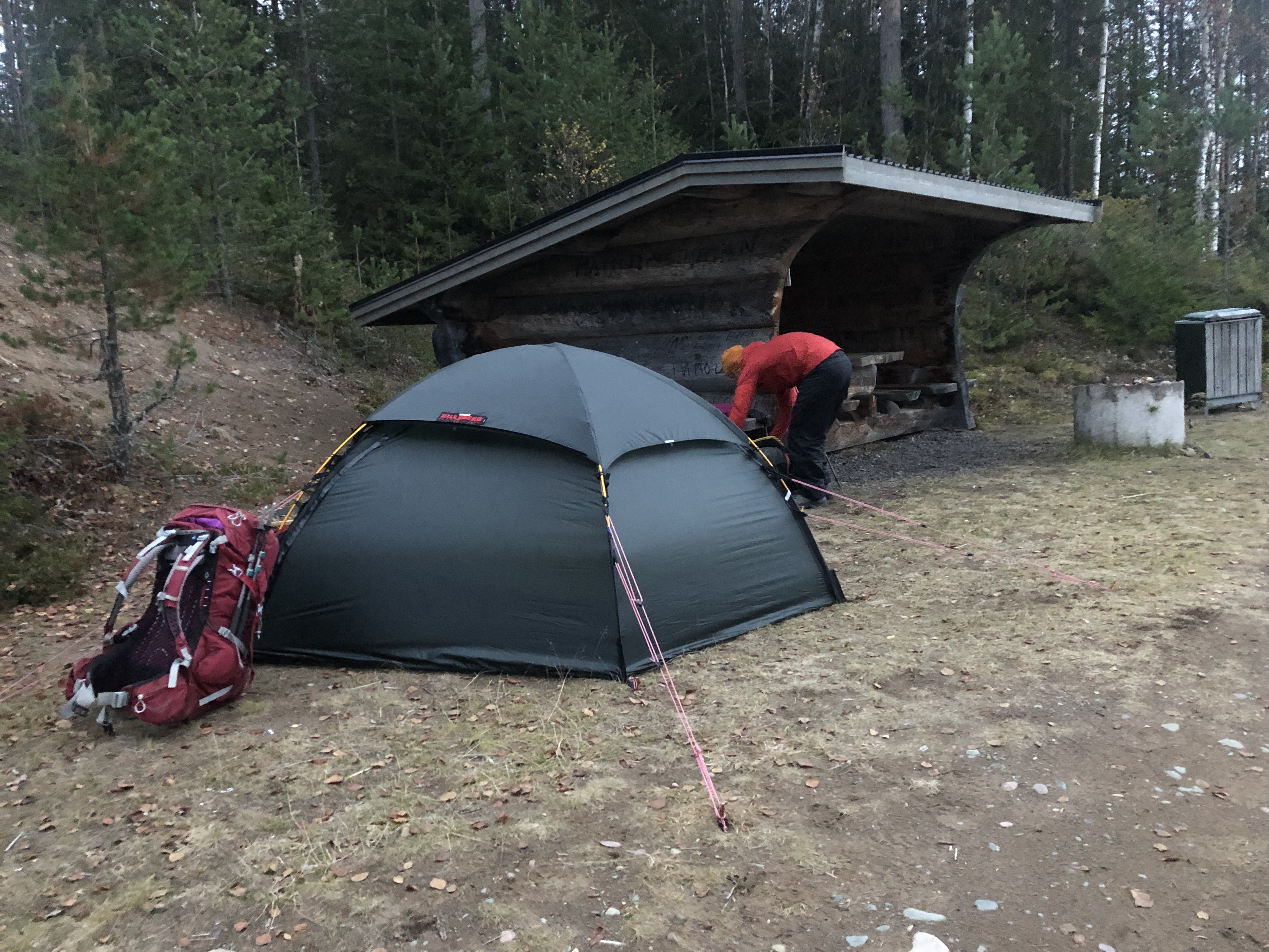
We found a nice windbreak overlooking the big river at the end of the day and camped up. Sweet!
Day 110: Östra Almberget
Distance: 30 km (2280 km total), Weather: overcast
After a small resupply in Limaredsforsen we left the main road in favor for a more quiet route using smaller back country roads. We are keen to get south as fast as possible and try to pick as direct of a route as we can. Roads are faster than trail and it is also moose hunting season up here now so we feel safer on the roads than on trail at the moment. Too many people out in the bush with guns…
Day 111: Dalby
Distance: 30 km (2310 km total), Weather: rain, hard rain
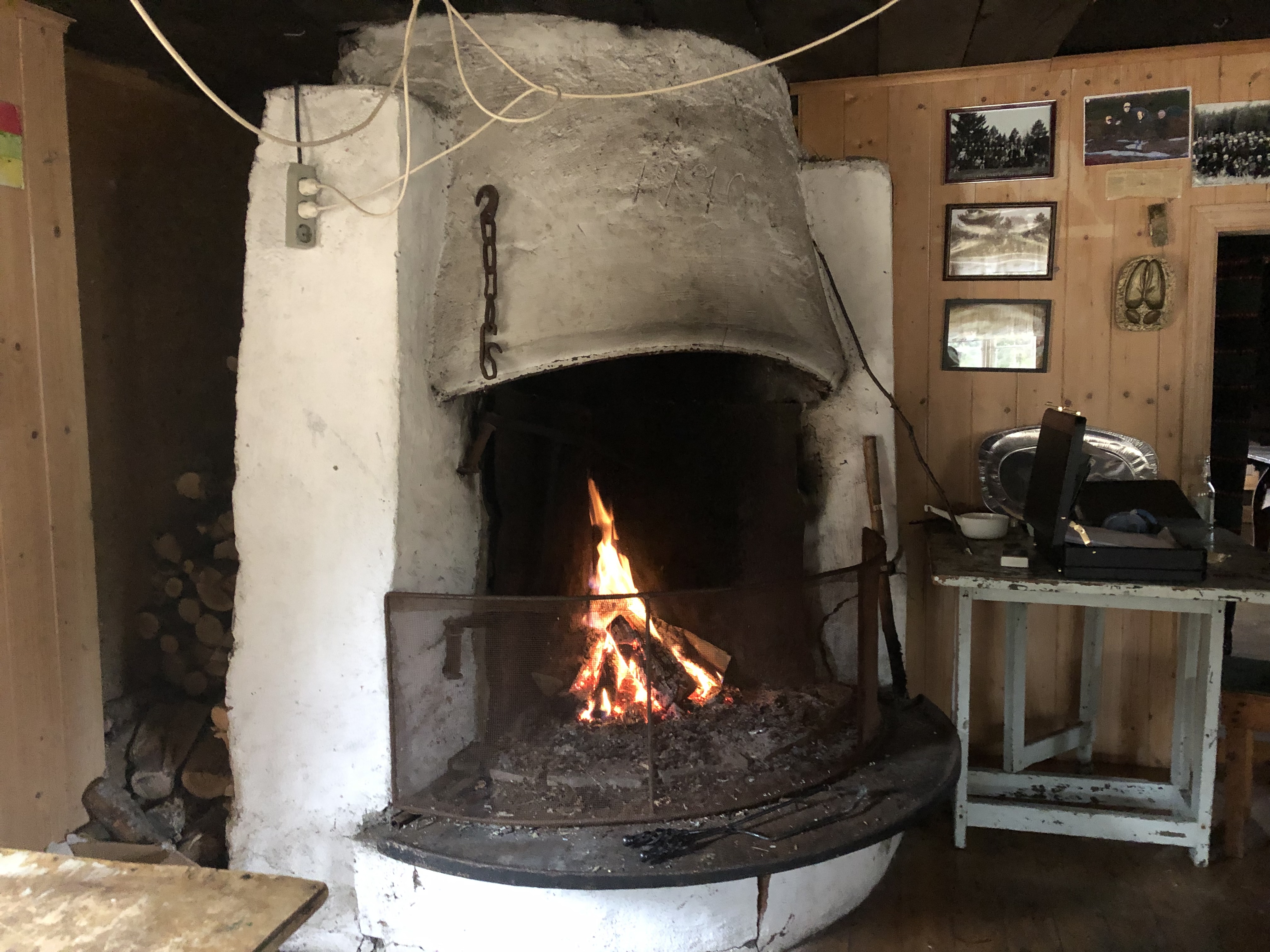
An interesting day in the rain. We walked straight through a huge moose hunt! We even got invited to share their hunting lodge for lunch (with a nice warm fire). A bit weird for us vegetarians with a dead moose being butchered right outside… but we were still grateful for the warm and dry shelter.
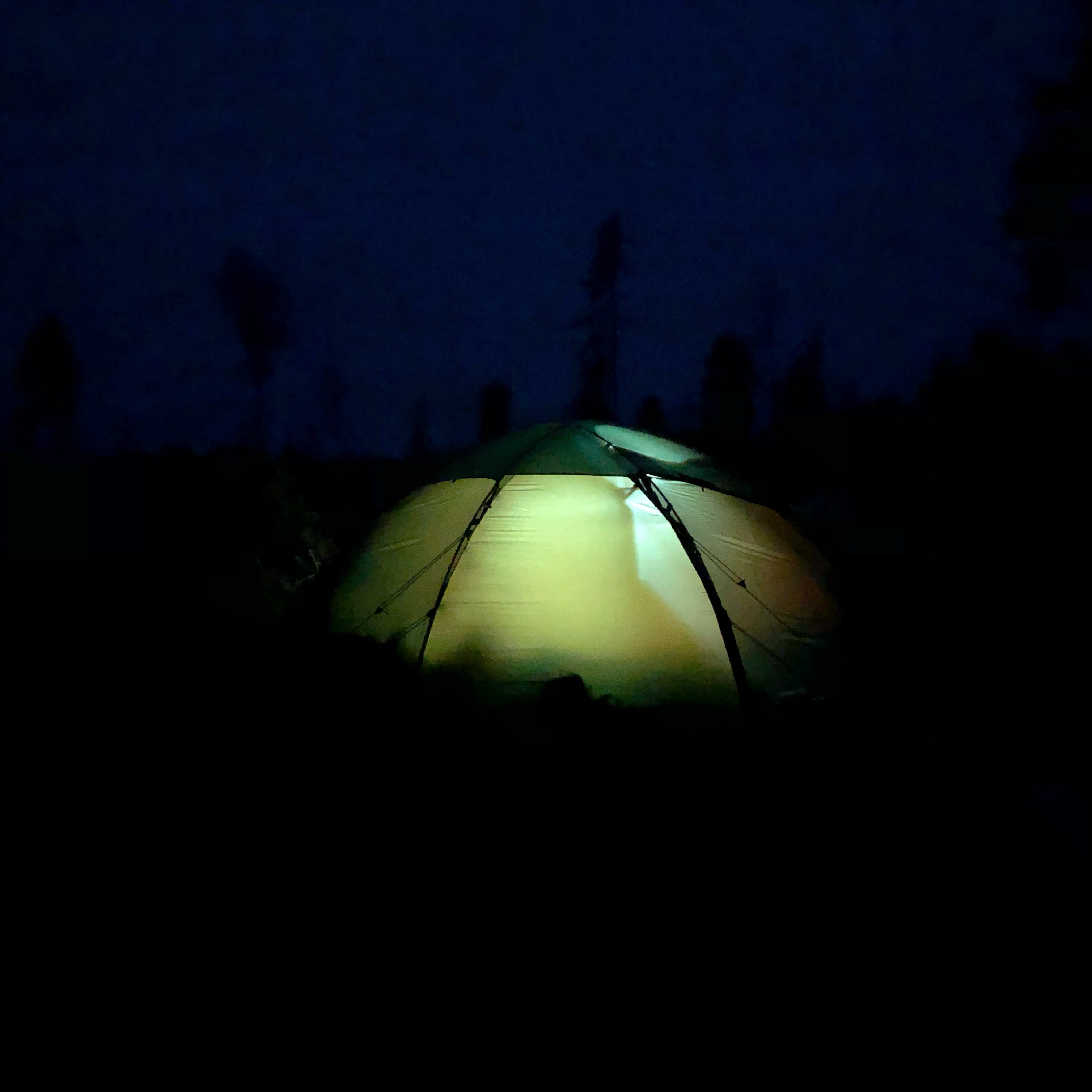
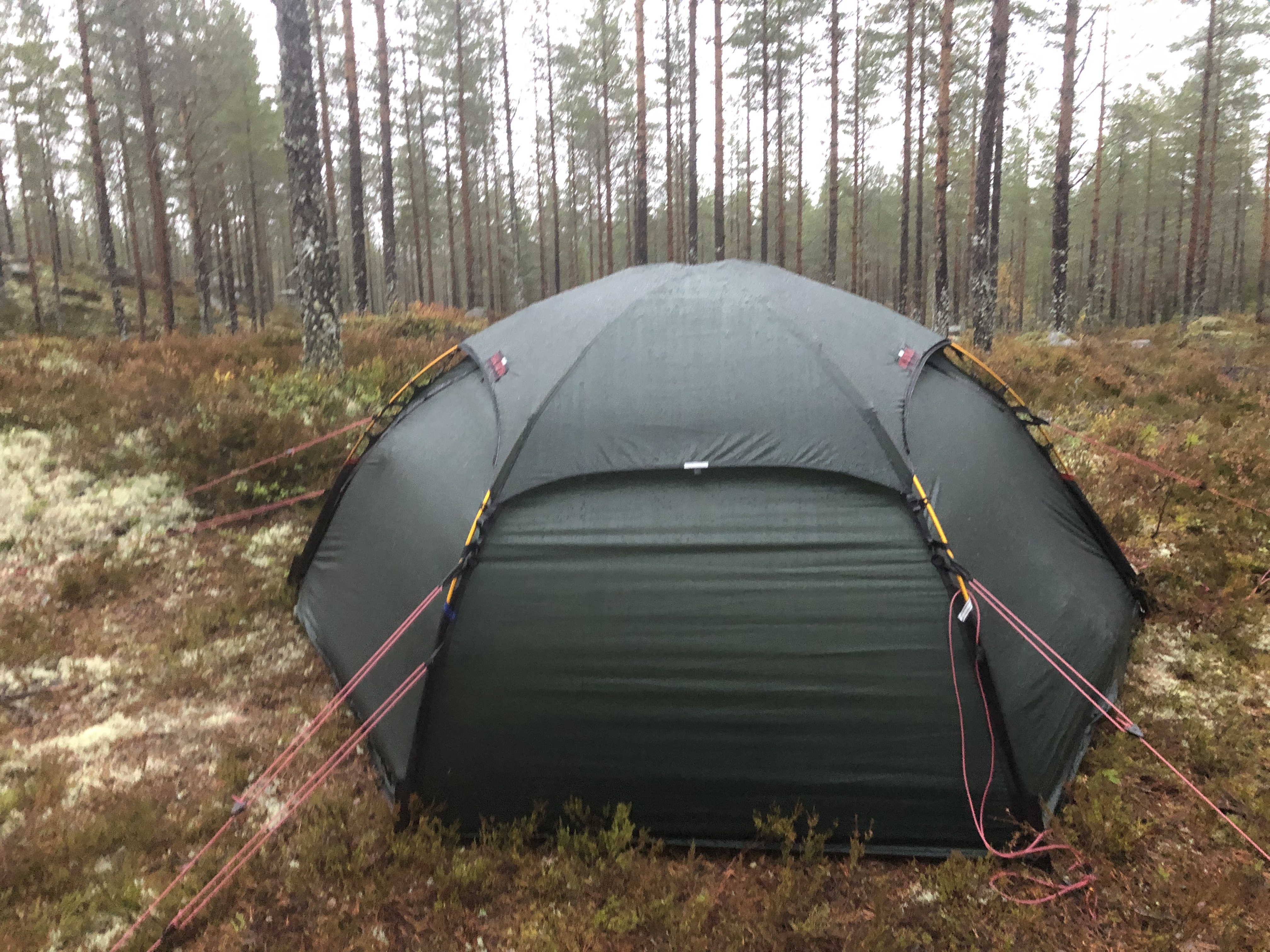
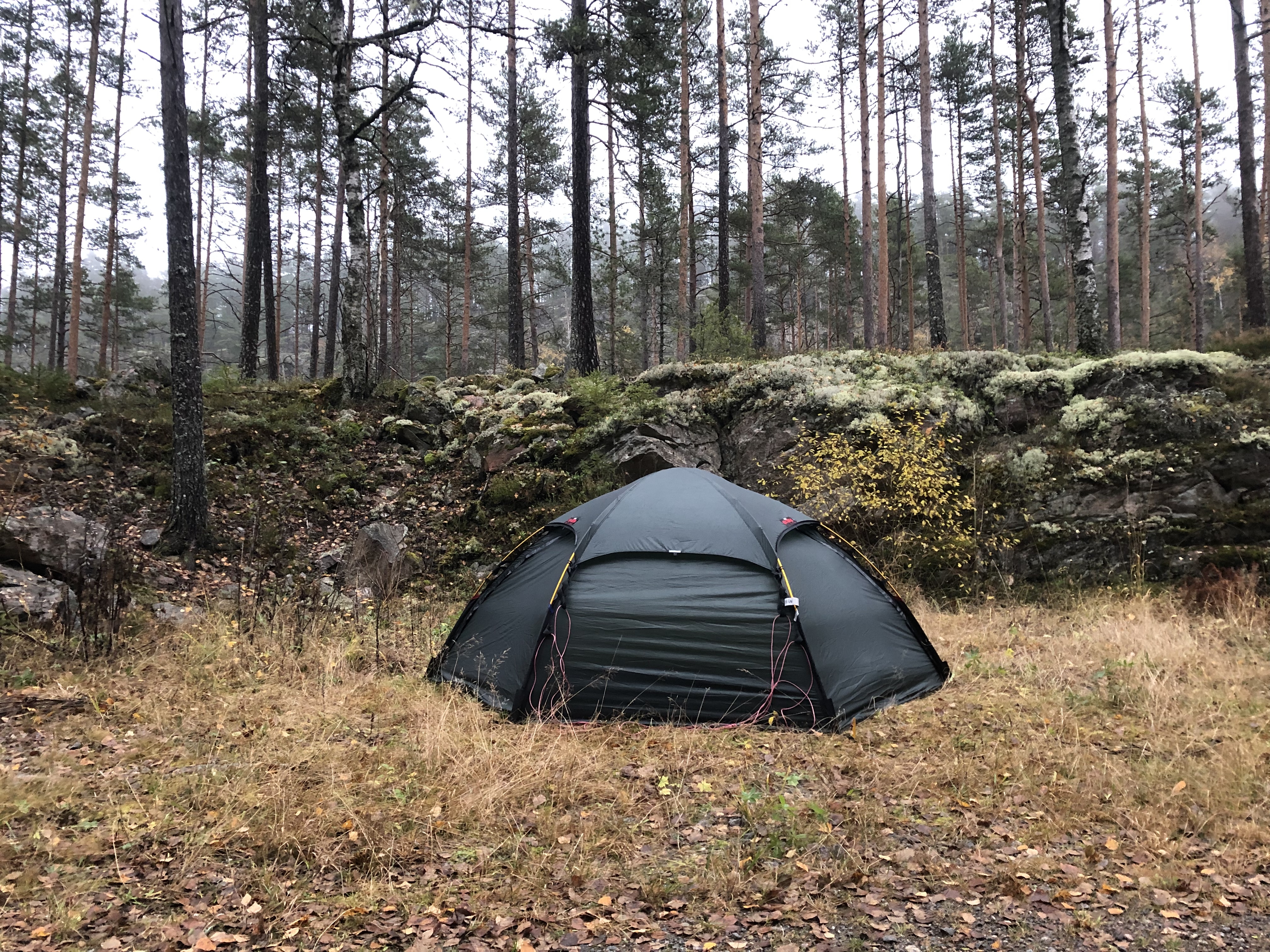
The rain picked up in the afternoon so we had to pitch the tent in the rain. All our gear is soaked! Thank goodness for drybags. The pack covers are no longer waterproof and needs replacing. It rained hard all night. We love our tent but struggle a bit with the doors in heavy rain. Impossible to get in/out keeping the inner tent completely dry… frustrating!
Day 112: Nyskoga
Distance: 34 km (2344 km total), Weather: rain
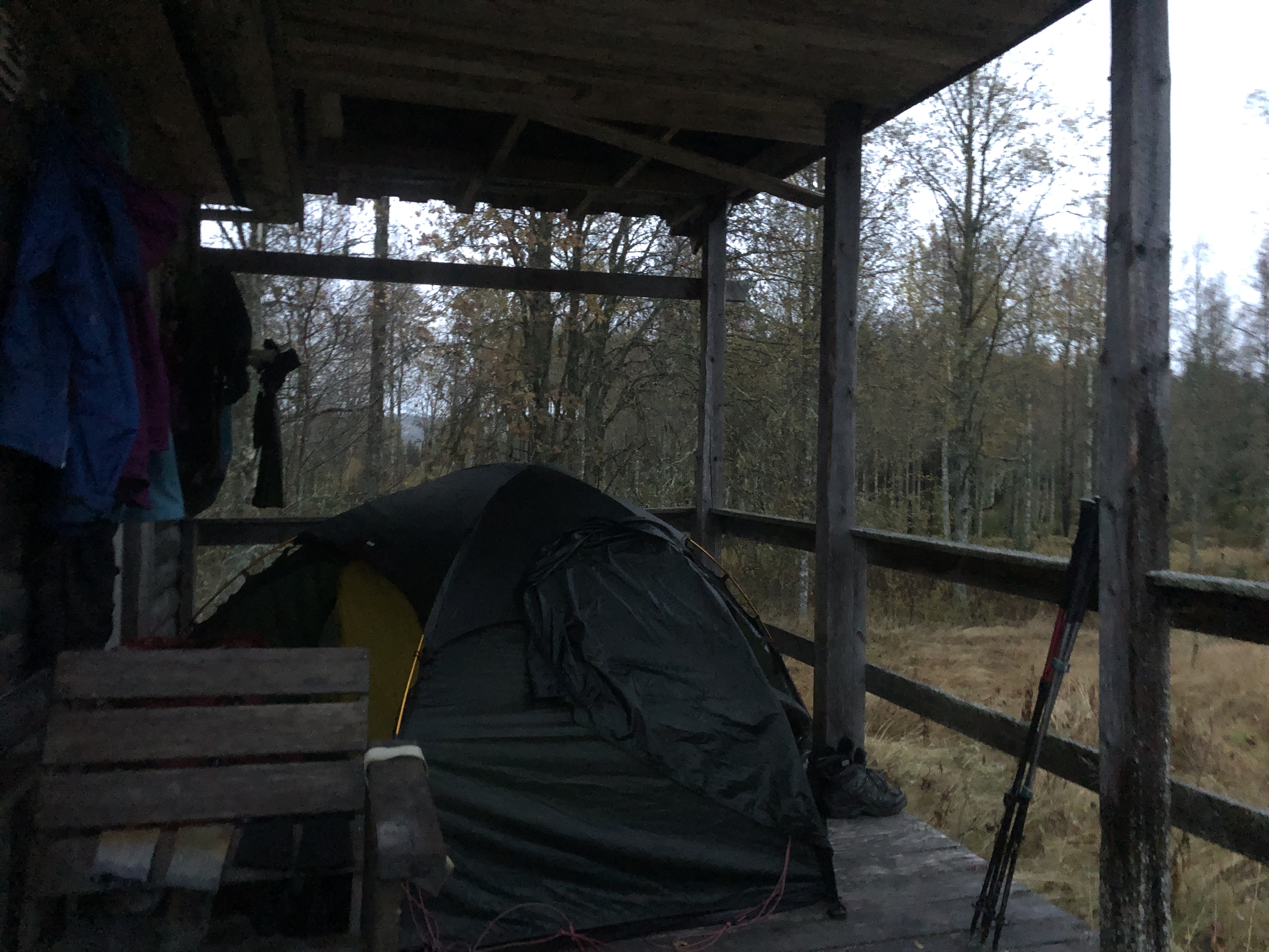
Rained hard all night and continued all day today. A cold persistent rain which started to intensify at the end of the day and we were looking at anything for a break. We found a bit of shelter under a covered porch of an old outbuilding at the outskirts of town and hoped no one would mind our quick overnight visit.
Day 113: Östmark
Distance: 32 km (2376 km total), Weather: overcast, rain in the evening
We woke to about 50 hunters pulling in to our “stealth” spot this morning! Pretty sure no one would have been here this early in the morning on ANY other day of the year… ironic. They did not seem to mind though as we quickly packed up and moved out.
Staying off the main roads we stitch together smaller, often gravel, roads through the deep forests of Sweden. We stay close to the Norwegian border as we are pushing south as fast as we can.
We resupplied for 4 days in Östmark and hung out in the ICA for a couple of hours charging up our phones and the powerbank. The solar charger is pretty useless these days. We haven’t seen the sun for days! Even if the sun comes out briefly it sits very low and we are facing the wrong way. So we try and top up our gear when we shop. So far so good.
Actually no rain all day until 10 minutes before we made camp… which also coincided with it getting dark. Sigh. So pitching by head torch in the rain. A charming spot (read flat) a mere hop skip and a jump from the road. Literally a jump over the ditch. Oh well. Hard to find dry spots in the dark, this one will do.
Day 114: Bogen
Distance: 30 km (2406 km total), Weather: sun with clouds
The sun actually came out today! What a difference it makes! We are hugging the Norwegian border as we are trying to make a straight line for Rörtången while avoiding all the big roads, stitching together back country roads and forestry roads as we go. Quite a nice way to experience the country.
Day 115: Eda
Distance: 25 km (2431 km total), Weather: rain
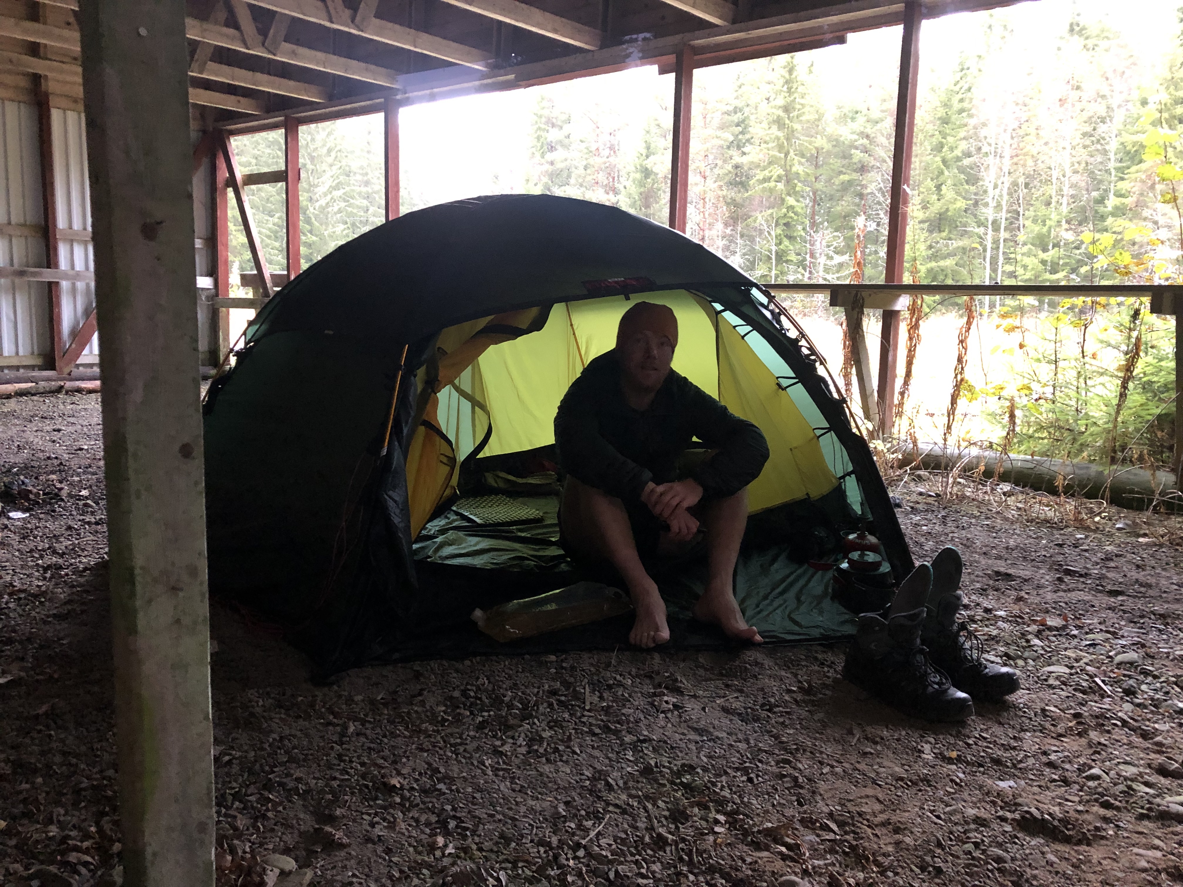
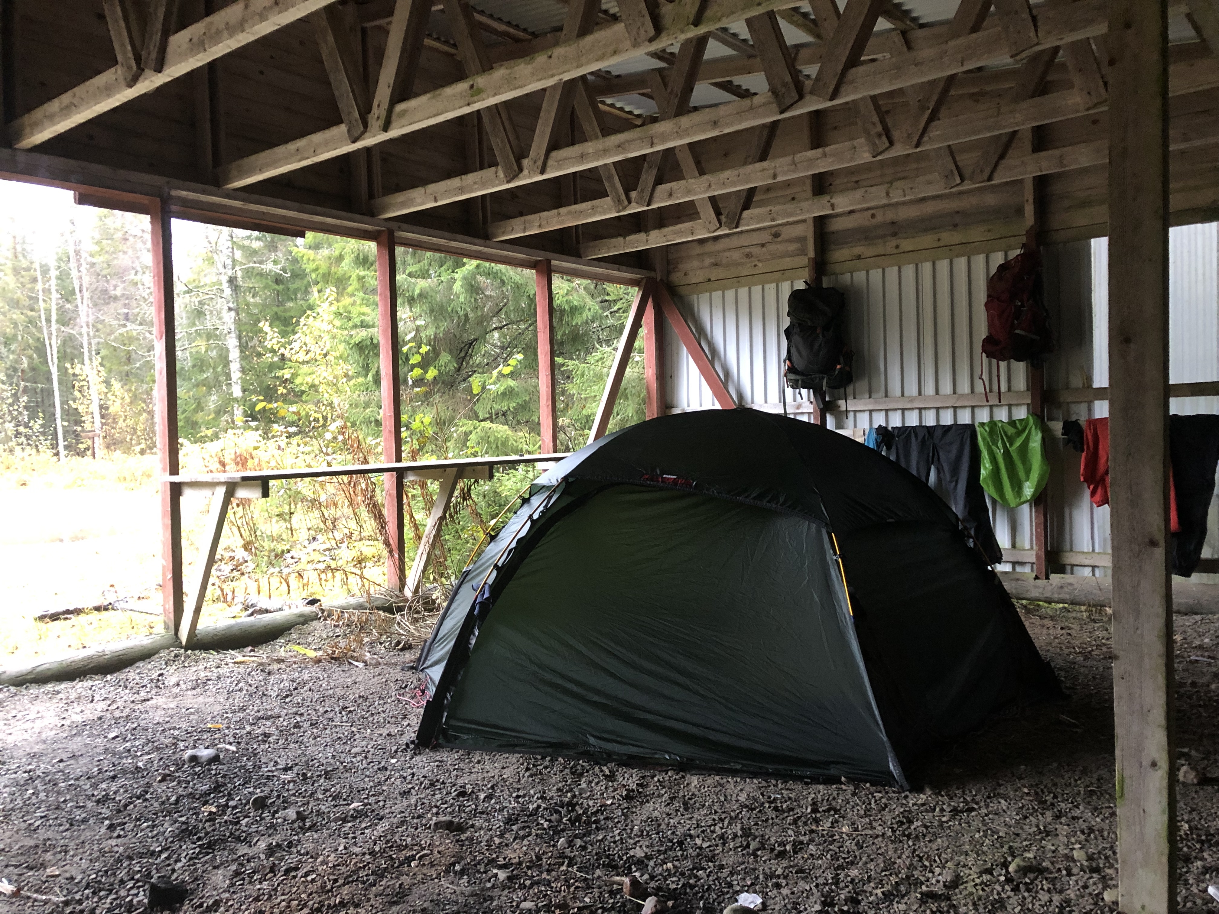
Continuing south-west on the backroads of Sweden through the deep forests of Värmland. Rain all day… again. With it steadily getting worse in the afternoon and with a promise to keep on pouring down all night — and all day tomorrow — we called an early day when the perfect sheltered camp spot presented itself. No idea what it is… some open front shed in the middle of nowhere?! Hallelujah! We sleep dry tonight!
Day 116: Koppom
Distance: 24 km (2455 km total), Weather: hard rain in the morning, light rain on and off after lunch
We slept in a bit in our little shelter and waited for the hard rain to mellow to a drizzle before setting off just after lunch. Always nice to pack up under cover. Nothing really dries here though, even the things we hung up over night. So much humidity and it is simply too cold.
Getting close to a town and walking through farm country made find in a camp spot a bit tricky. We found a small path leading through a field into the forest and since it was somewhat dry and flat it would have to due. Did not think anyone will come down this way, but we put our trekking poles with a reflector band on them across the road right in front of the tent just in case.
Day 117: Vännacka
Distance: 30 km (2485 km total)
Weather: overcast, hazy
A gray overcast day but thankfully no rain for once. We found an old train line paralleling the road we wanted to take for most of the day and then some. All the hardware was dismantled and long gone, leaving a nice dry gravel path through the forest with no cars! Awesome!
Day 118: Risviken
Distance: 26 km (2511 km total), Weather: overcast, some sun
Woke to a beautiful sunrise! Sun! Well, at least a little bit of sun on and off today. Such a nice change. Continued on the back roads through the forest, a nice and relaxing walk.
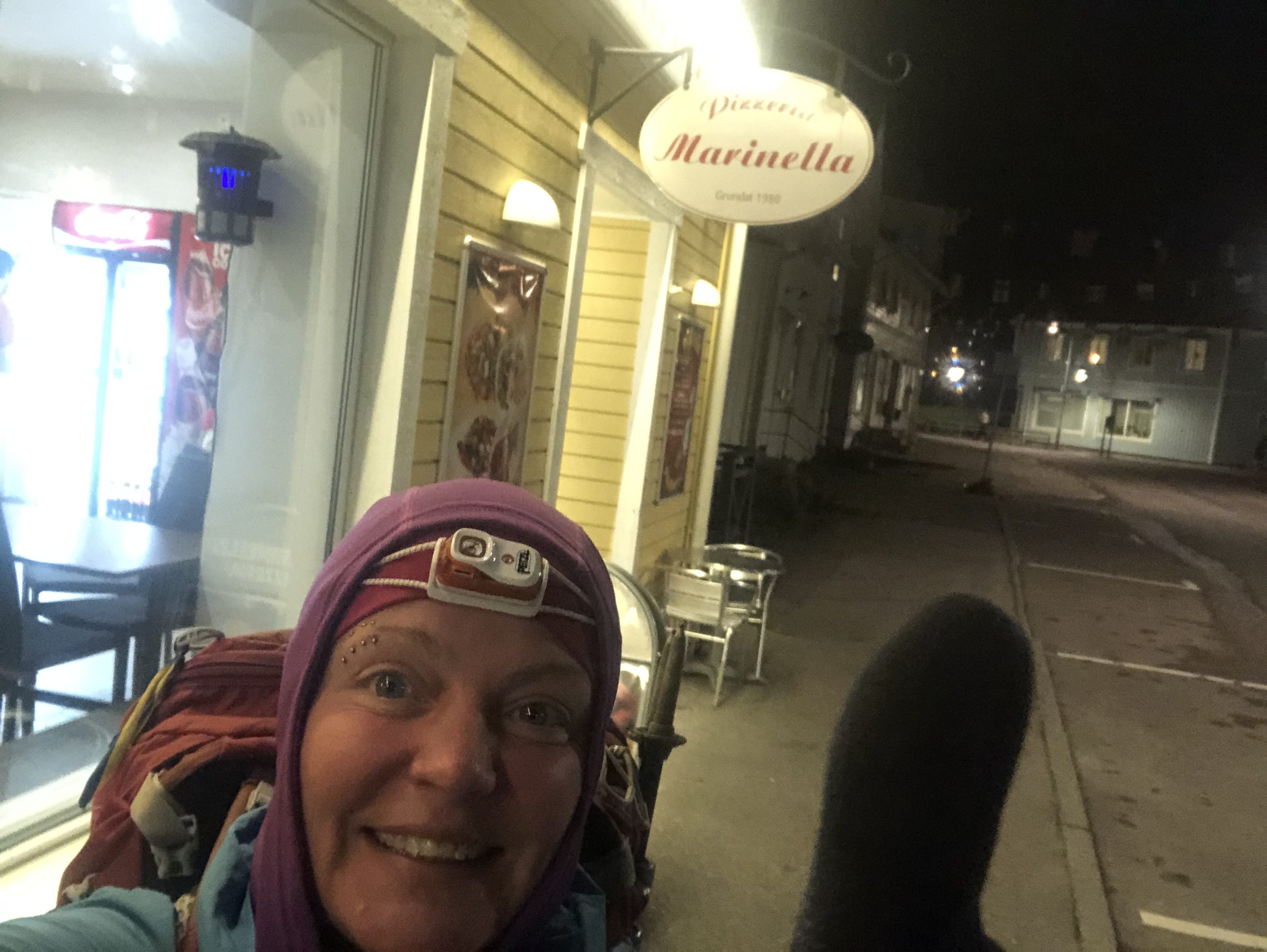
Stopped in Årjäng for a pizza and resupply. The pizzeria even let us leave the powerbank battery on charge while we went shopping, nice! These stops, at stores for resupply or food, is how we stay topped up on power in the winter up here. The sun, when it show up (if ever) is just too low in the sky and at a bad angle for the solar panel and we are mostly shaded by trees anyway.
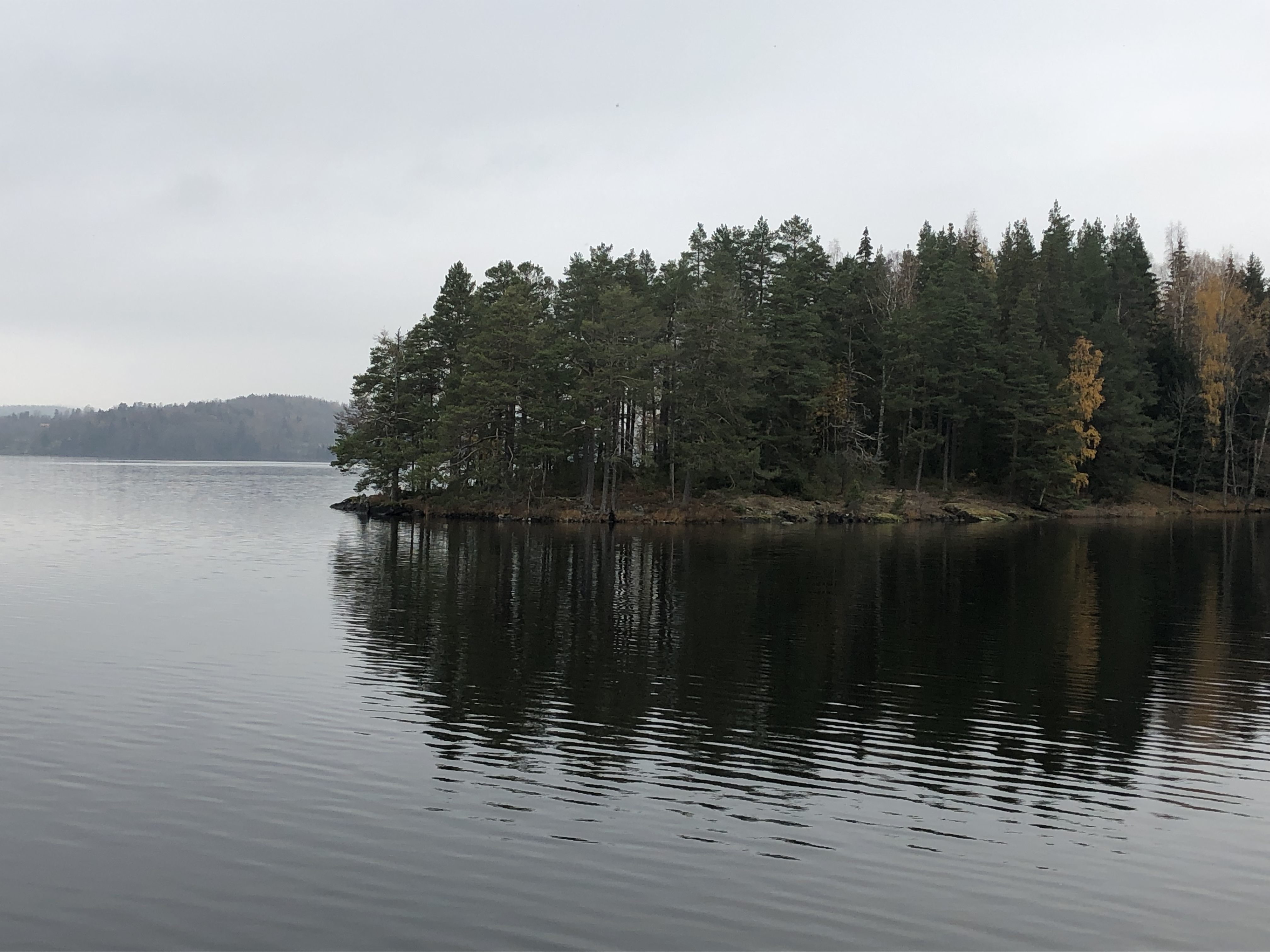
Day 119: Varvik
Distance: 26 km (2537 km total), Weather: overcast, some sun
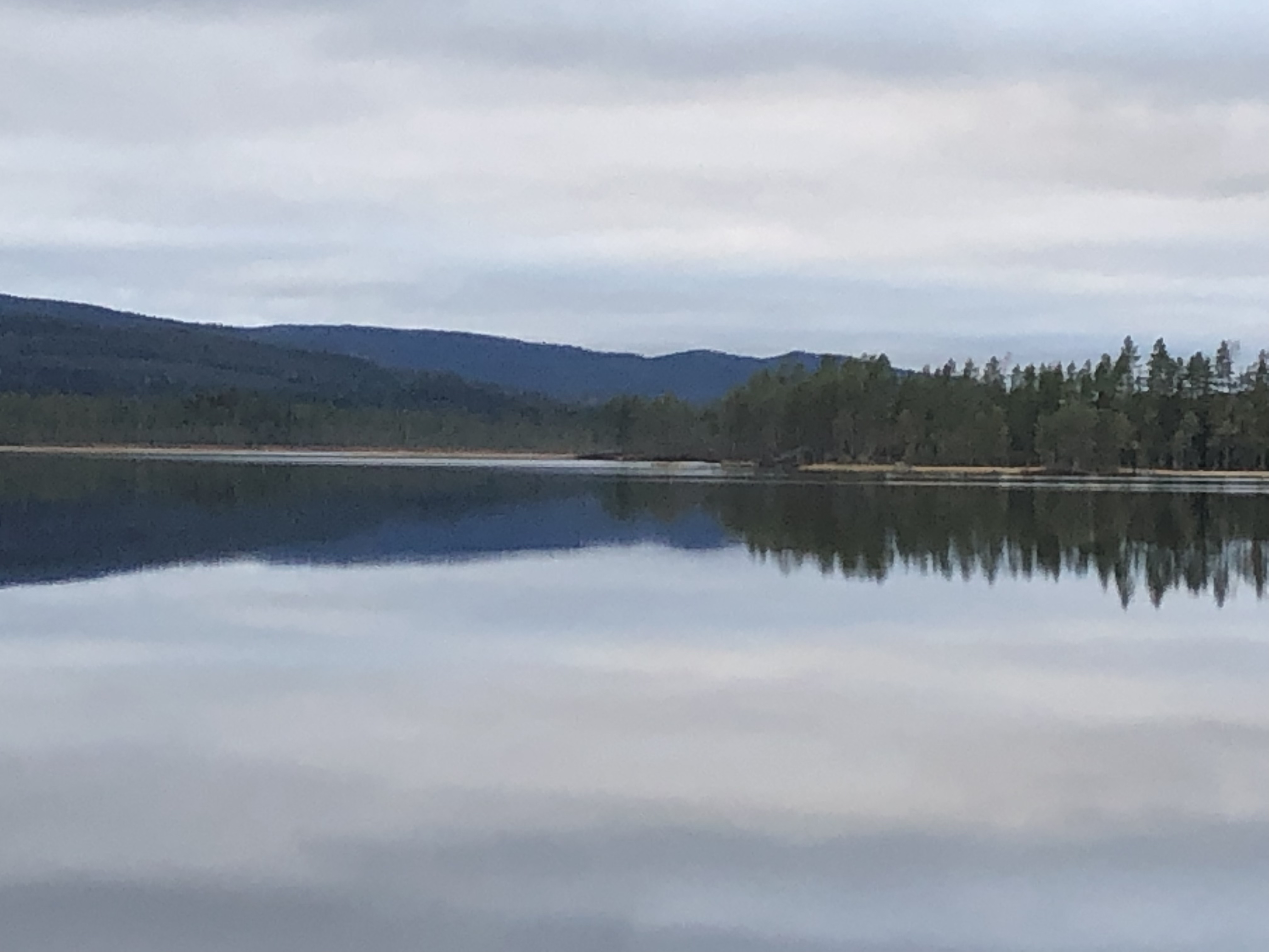
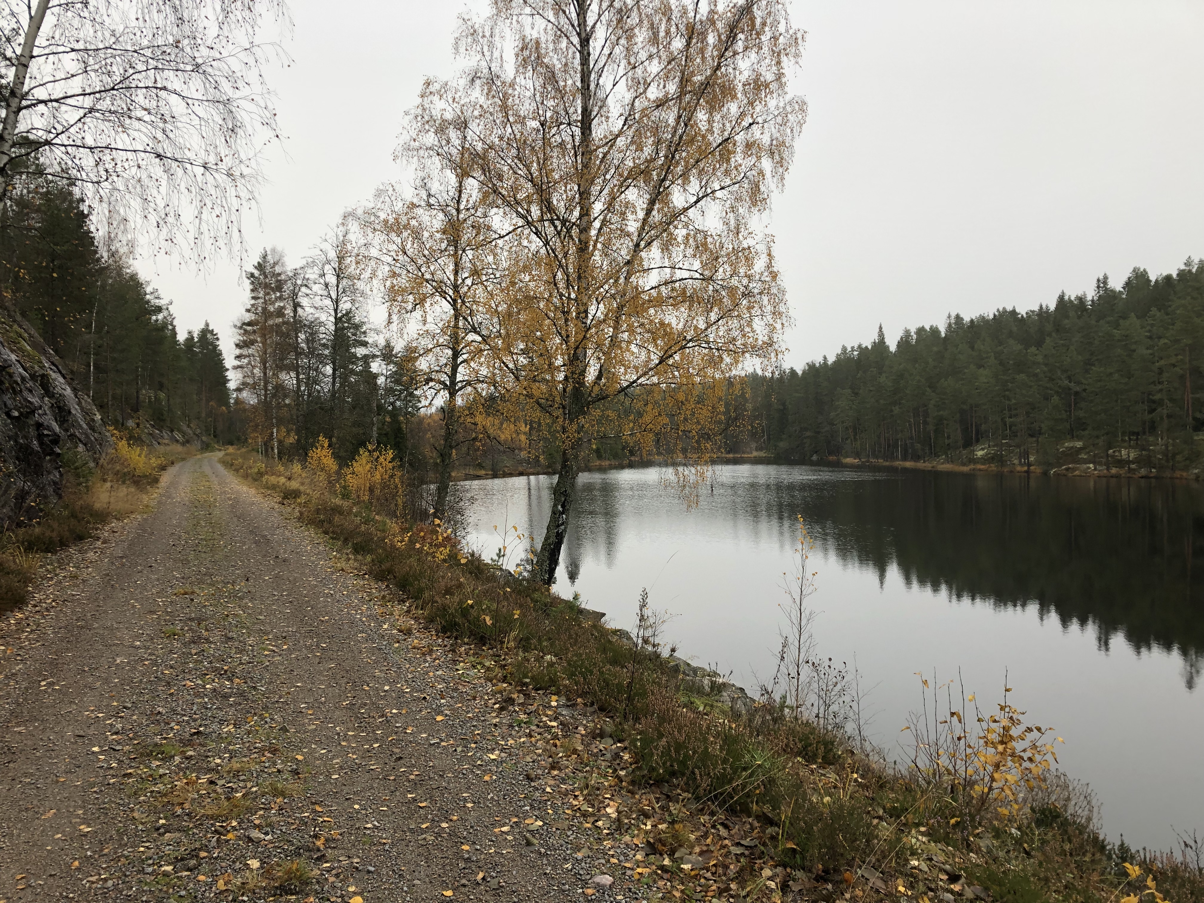
Found a beautiful camp spot by the lake and decided to call it early today. Nice to still have some daylight left after you stop.
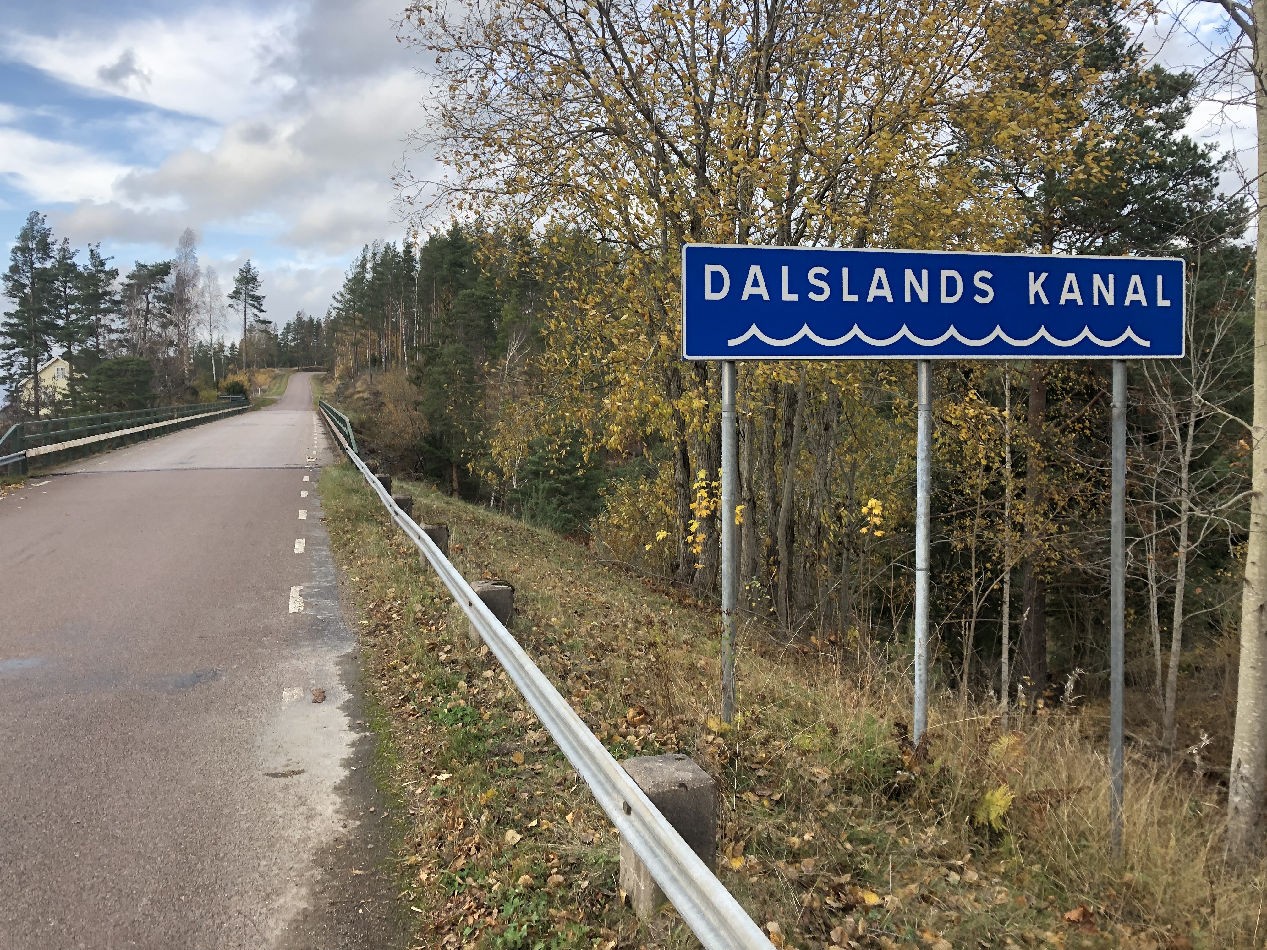
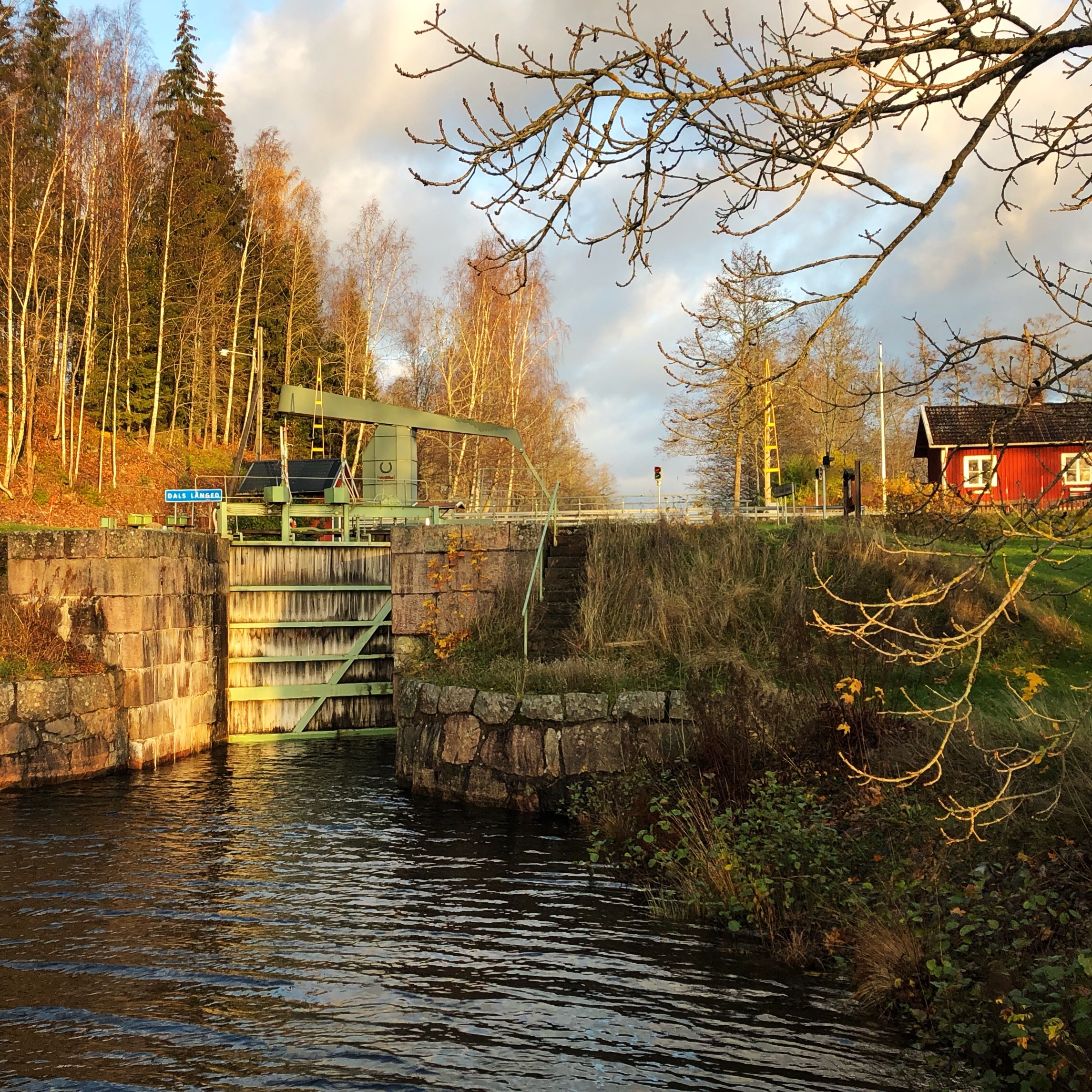
Day 120: Dals Långed
Distance: 32 km (2569 km total), Weather: overcast, some drizzle
Resupplied at the Coop supermarket and left our powerbank battery there charging over night. Finally getting it filled up completely. So we are stealth-camped right in the middle of town—literally right-in-the-middle… lol.
Day 121: Vrångebäck
Distance: 37 km (2606 km total), Weather: sun with clouds
We found shelter from the impending storm in a small farm shed. We are very thankful for these and always take great care to leave no trace even though many of these buildings seem to have been completely abandoned for a long time. The forecast promises 23 m/sec winds and 25 mm rain — in other words horizontal rain — in the matter of just a few hours overnight… Here we will stay dry and in one piece.
Day 122: Frändefors
Distance: 33 km (2639 km total)
Weather: clouds, some light drizzle
Oh camped up on just another back country road in the middle of the forest… lots of rain last night so everywhere is flooded — why we are camped up on a granite slab (hince not being pegged in). Love our free standing tent!
Walked past a tiny airfield at the end of the day. Two elderly guys were flying a petrol powered model plane there. We stopped for a chat and to watch for a little while.
We are getting pretty close now!! Just a few days away from family and friends and a few days of rest and relaxation!
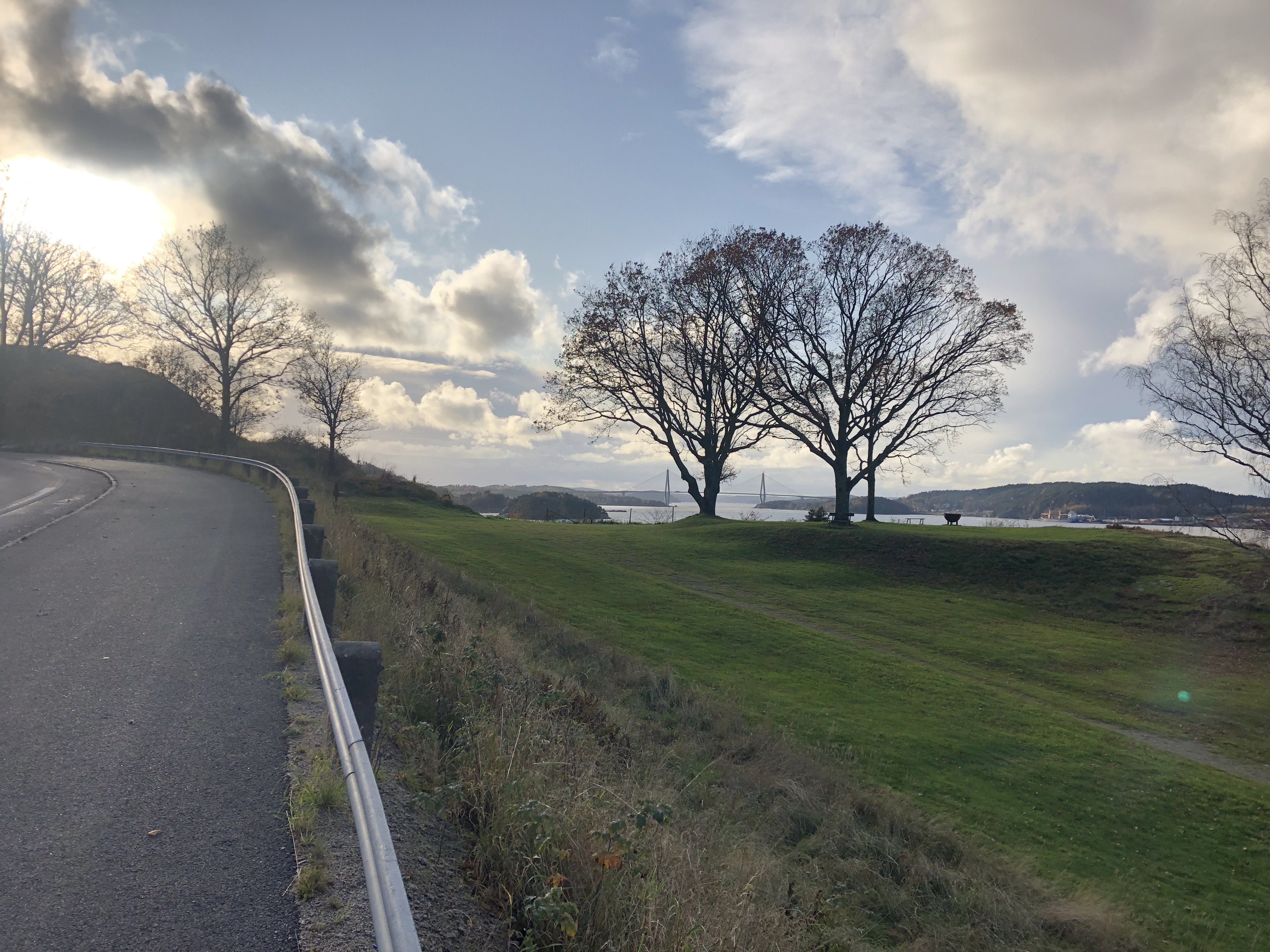
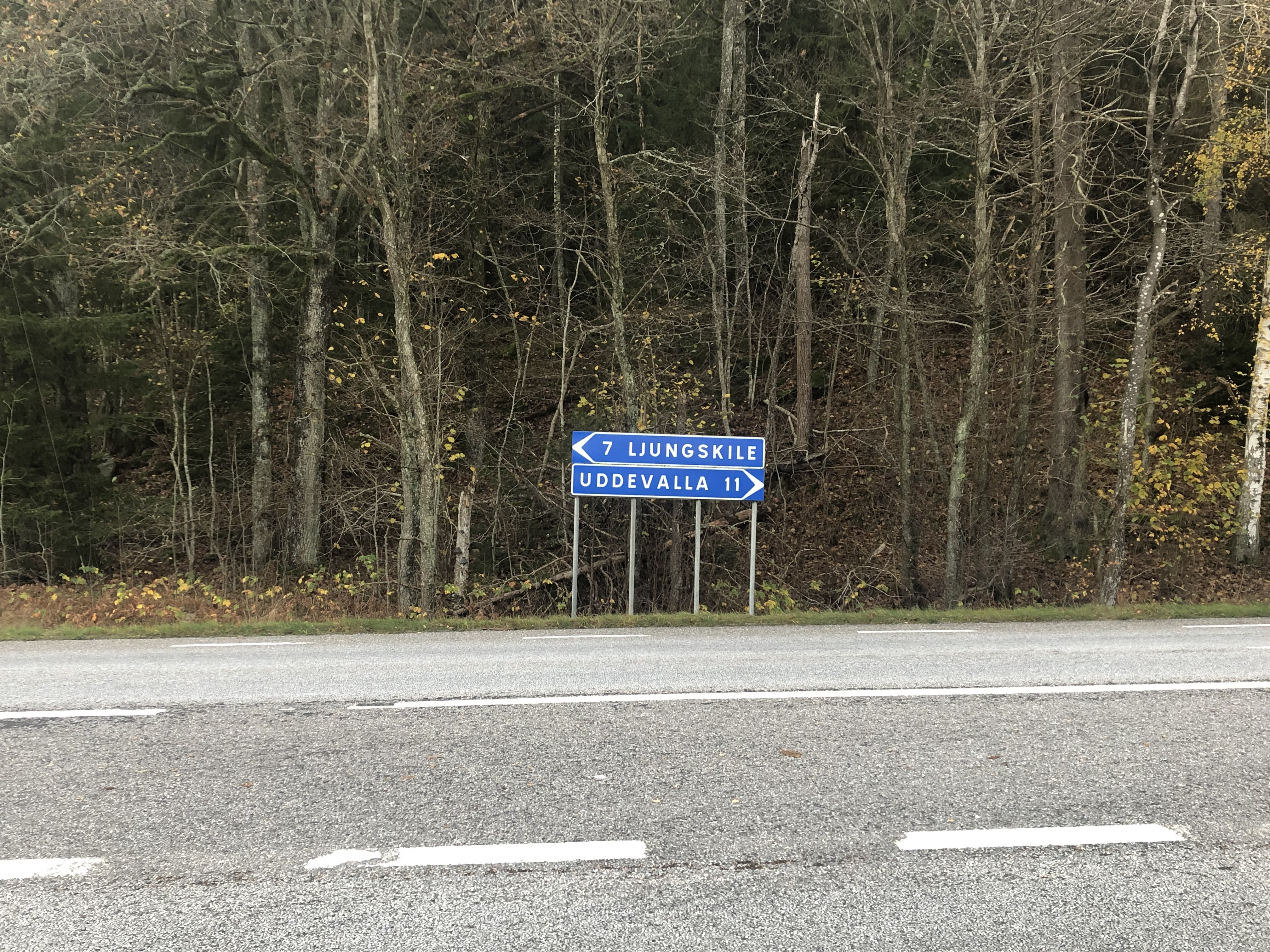
Day 123: Ljungskile
Distance: 33 km (2672 km total), Weather: partly sunny
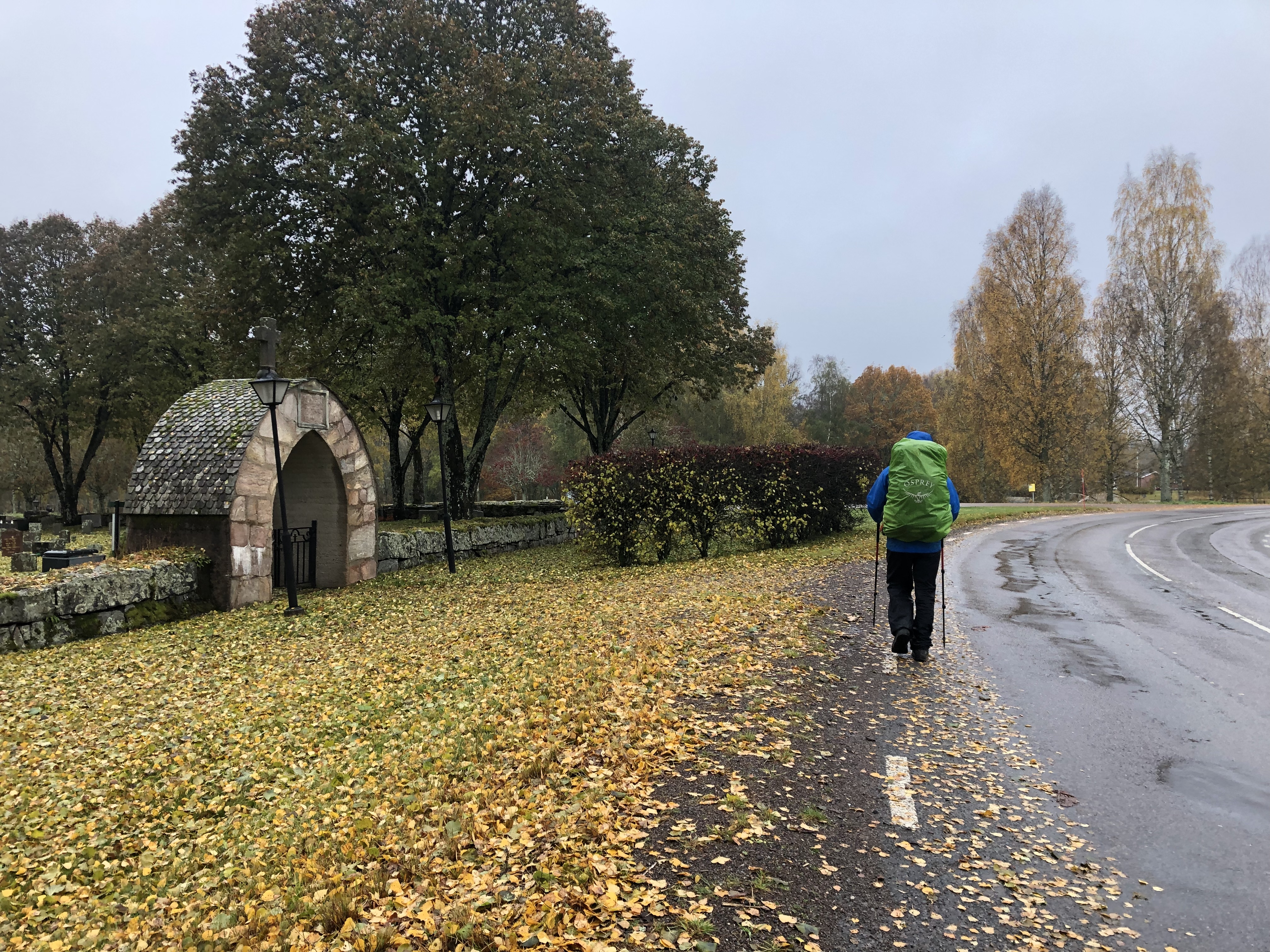
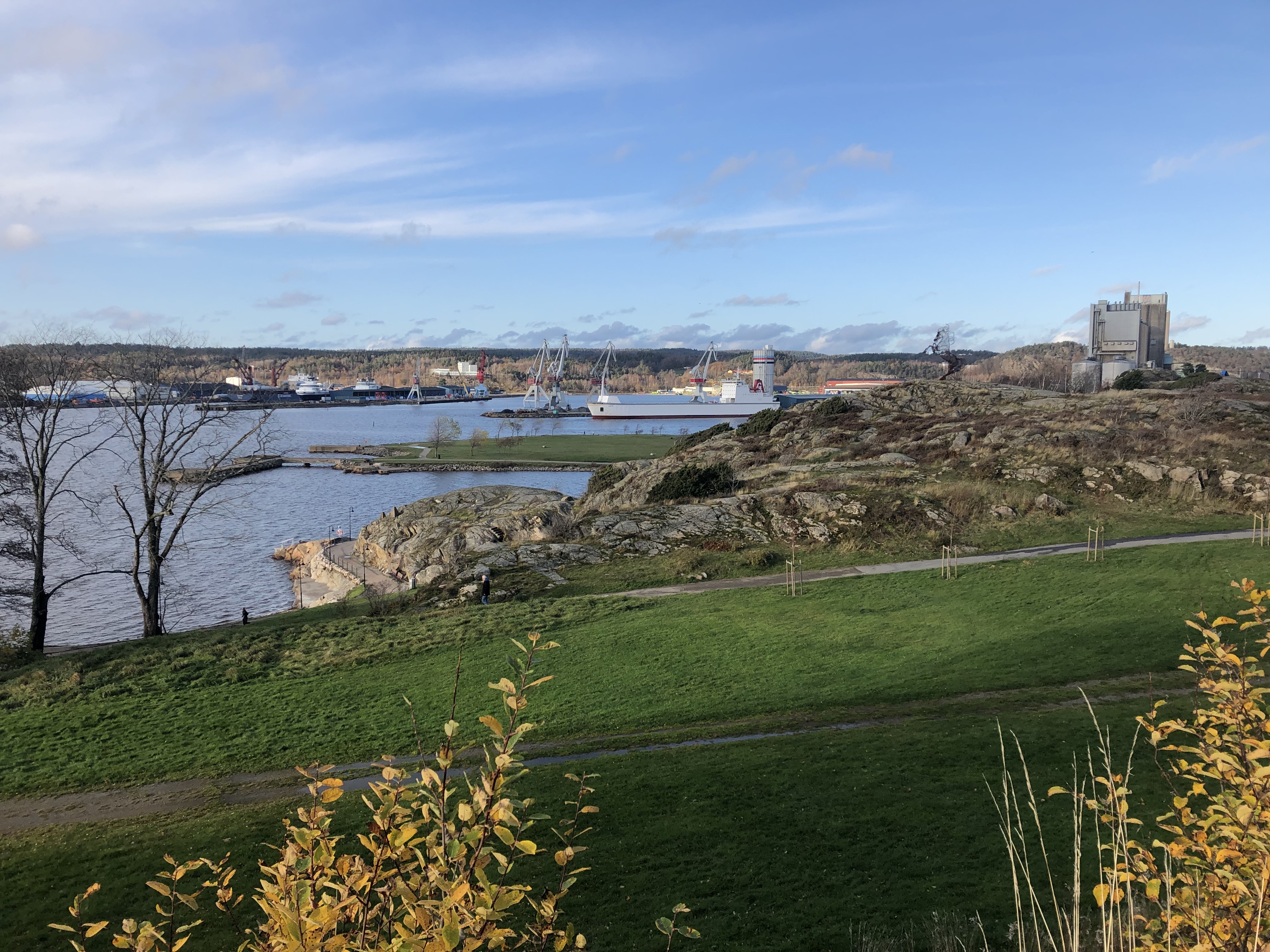
A trip down memory lane today walking though my old stomping grounds… We walked right past my old high school in Uddevalla, then through the riding club where I used to train every Tuesday. Then into Ljungskile where we had pizza at the local pizzeria. Looked a bit different here and there, but everything is more or less the same.
We are even staying the night in Ljungskile… hiding in plain sight… camped up in the grassy median between the old E6 highway and new motorway!!! … lol. Oh well it was flat and dry and it got dark.
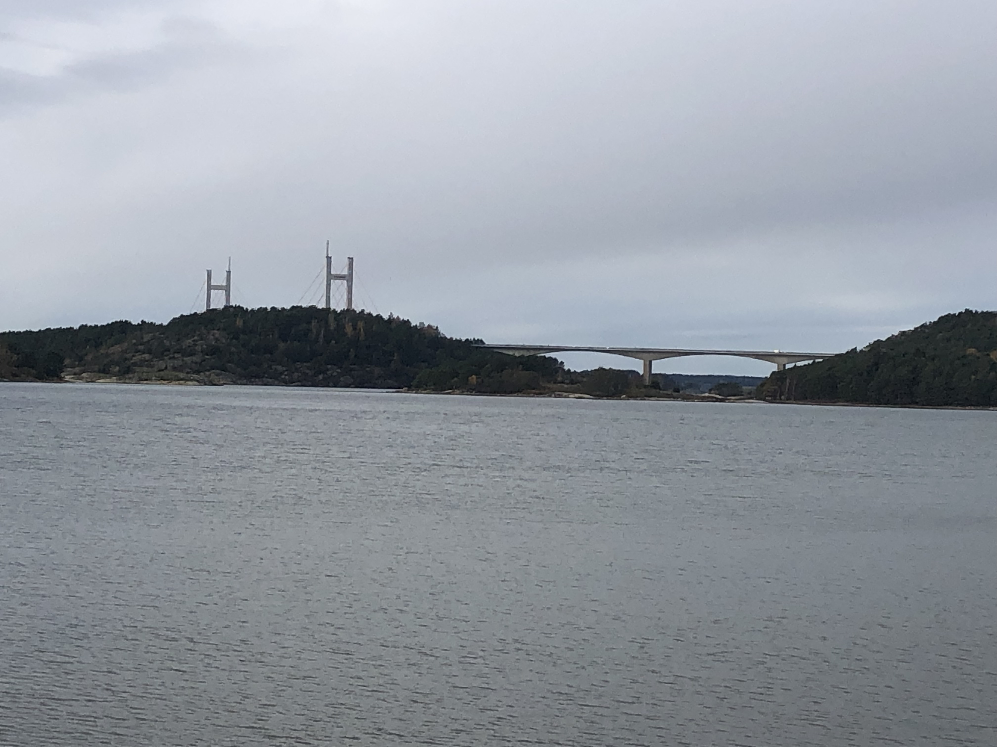
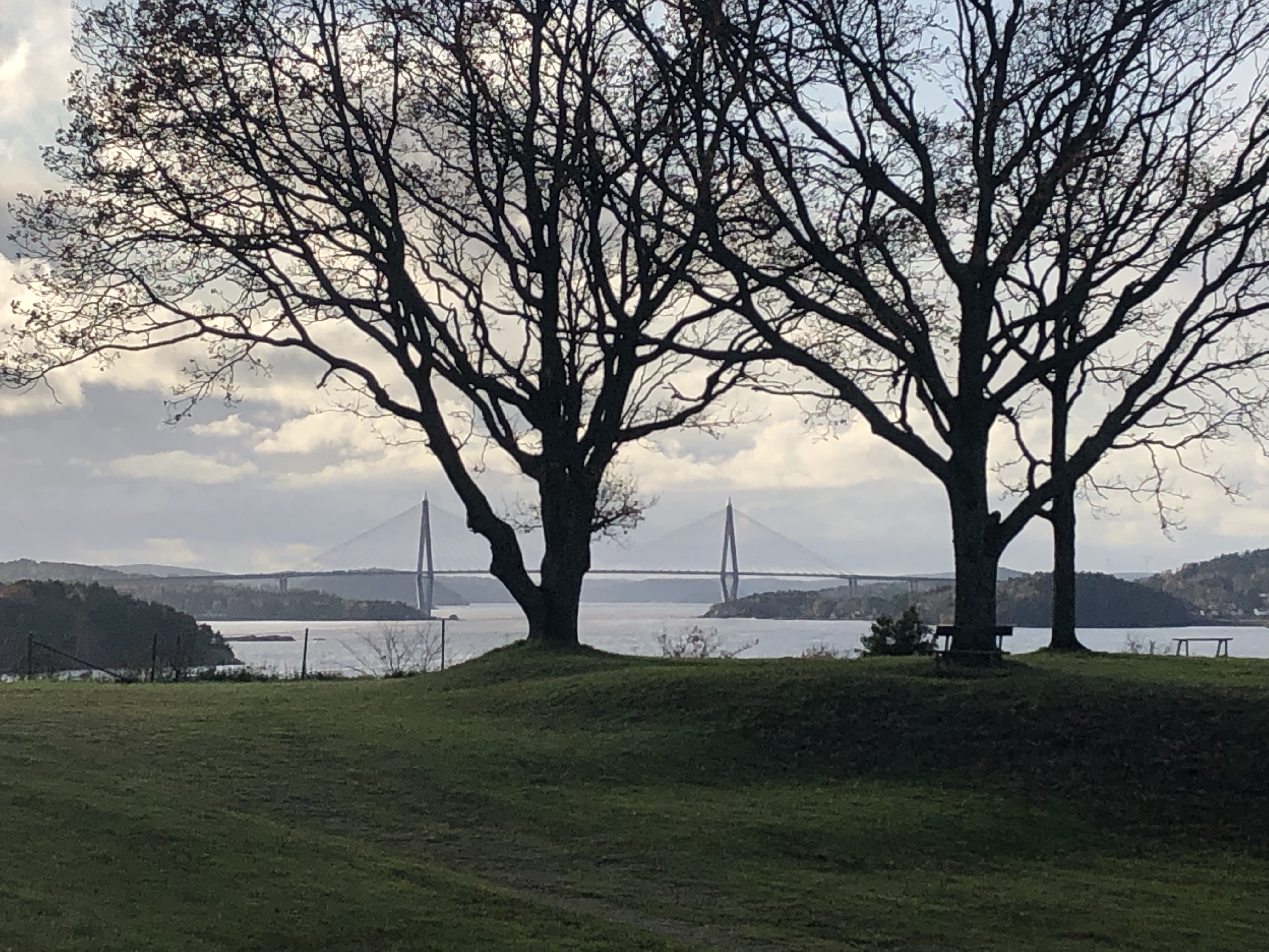
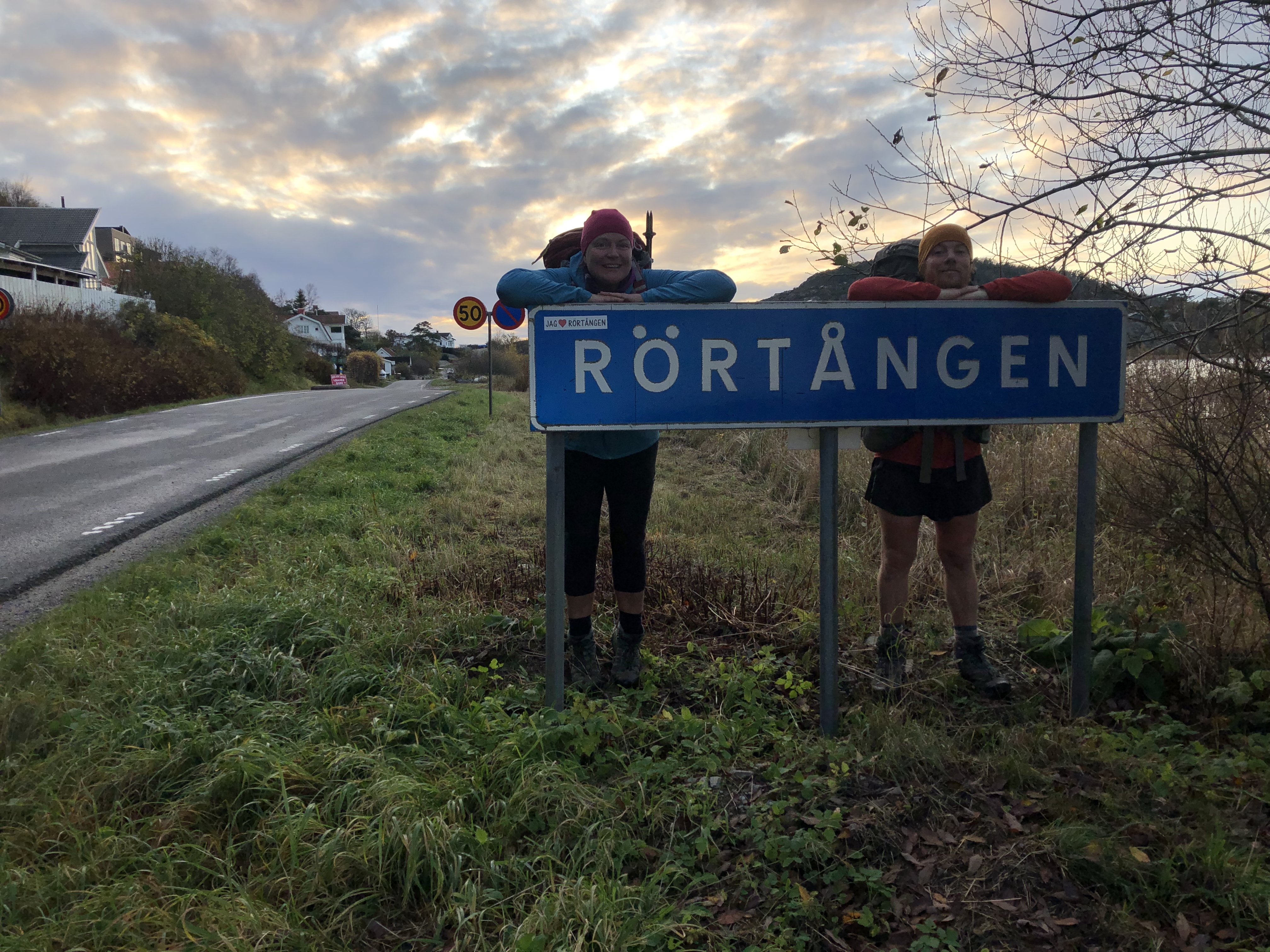
Day 124: Rörtången
Distance: 40 km (2712 km total), Weather: partly sunny
Another milestone today… 2712 kilometers and 124 days after we started this expedition at the very top of continental Scandinavia, we have now walked all the way “home”. An amazing feeling! When we walk out of this door the next time, after a few days of rest and time with family and friends, it will be for the last time. The rest of the world awaits!


Leave A Comment