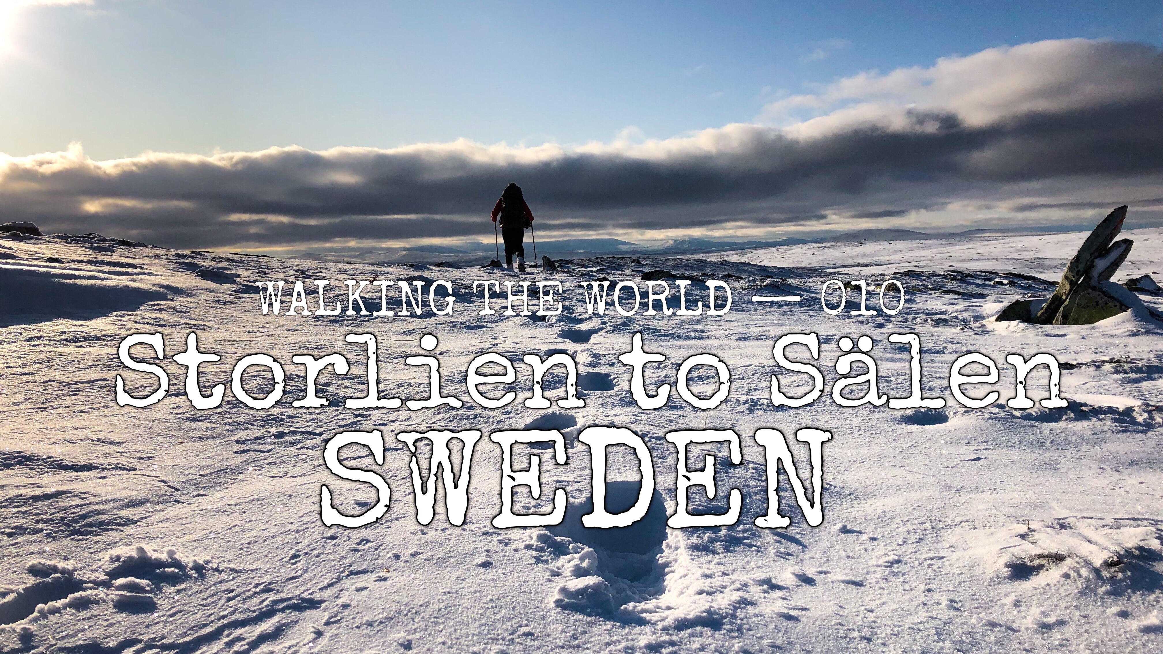
Walking the world
- Sweden: Storlien – Sälen
- 29 September – 12 October, 2019
- 366 km (2216 km in total)
- Northern Scandinavia + Gröna Bandet (completion)
Summary
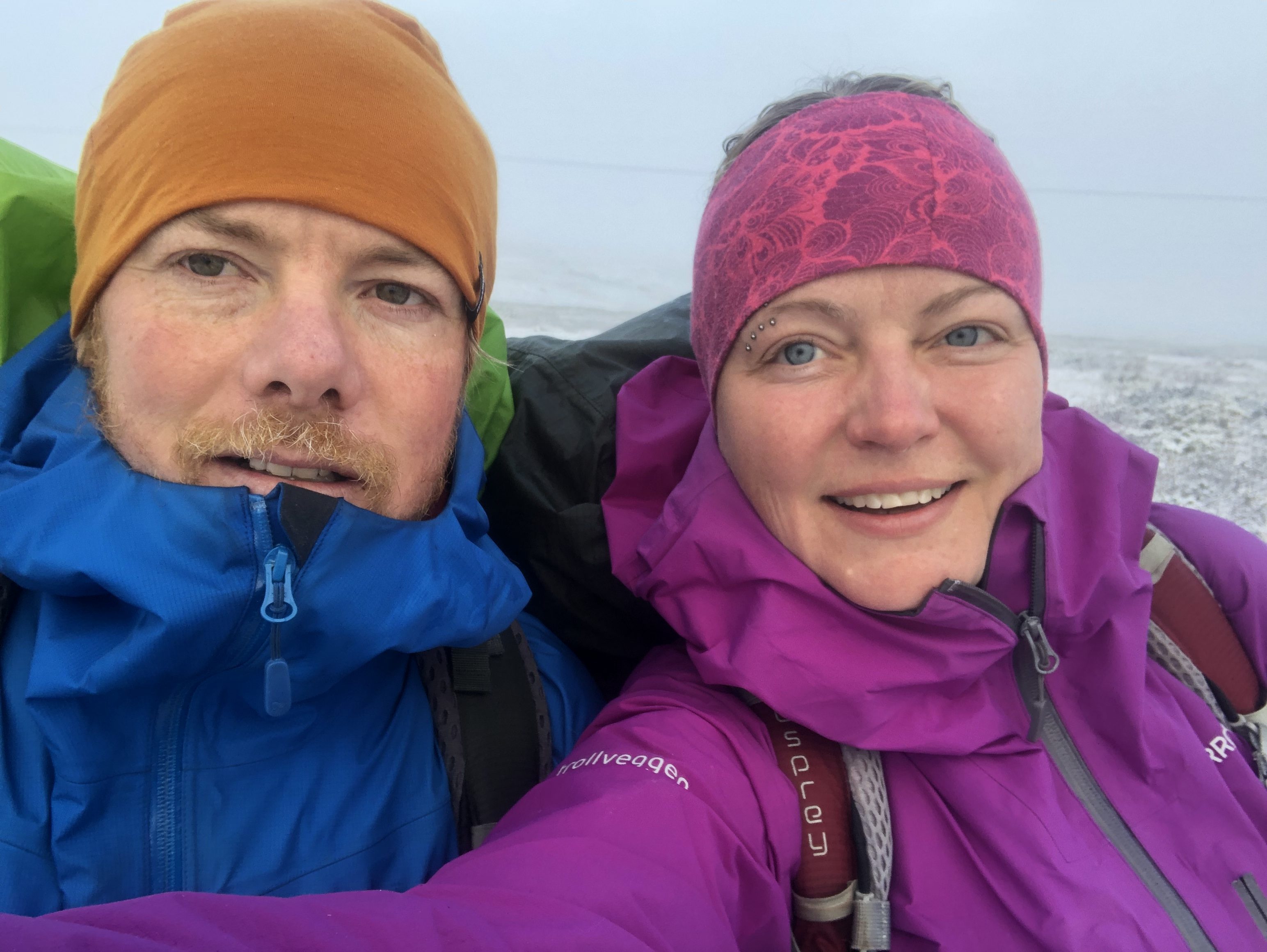
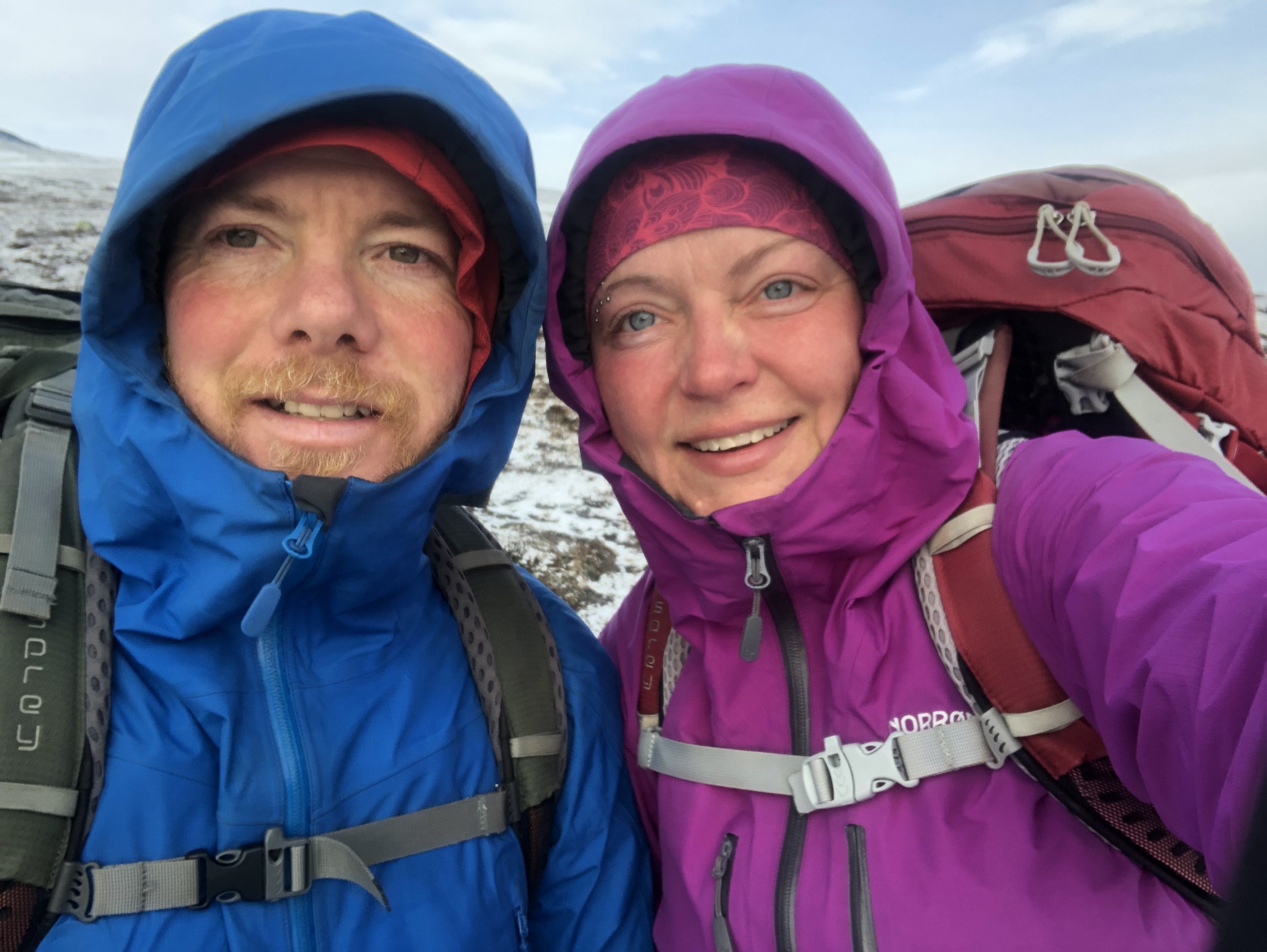
It has been an eventful stretch as we were back up in the mountains chased by winter. We passed the 2000 km mark of the expedition as well as complete our Gröna Bandet (Green Ribbon) thru-hike of the Scandinavian mountain range. We also pull an 83 km (51 mi) in one day crazy all-nighter, and walk most of the week in snow!
Trail description
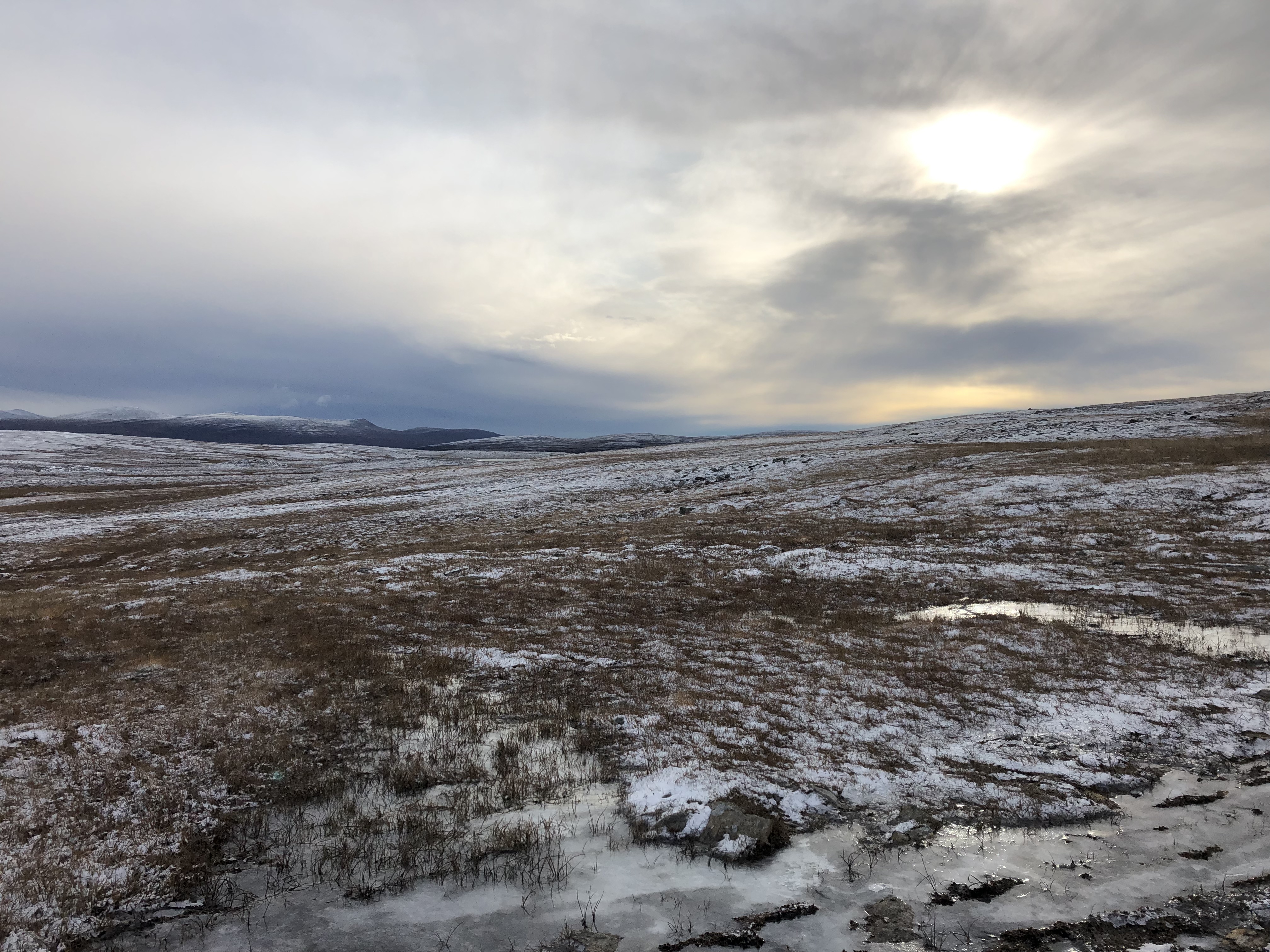
Terrain
We leave the hectic supermarket in Storlien and head 5km down the road where we reconnect with the trail up into the quiet mountains.
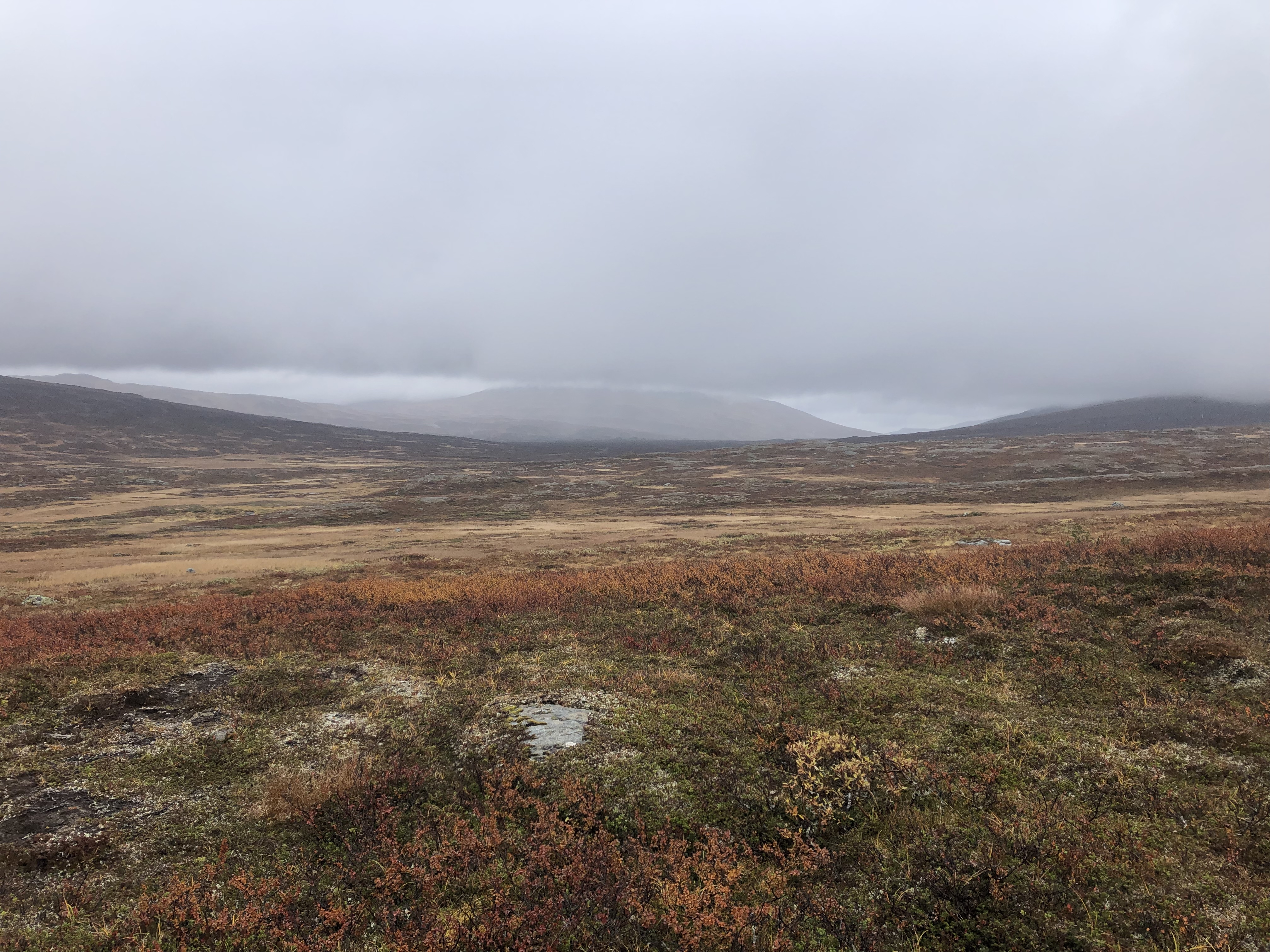
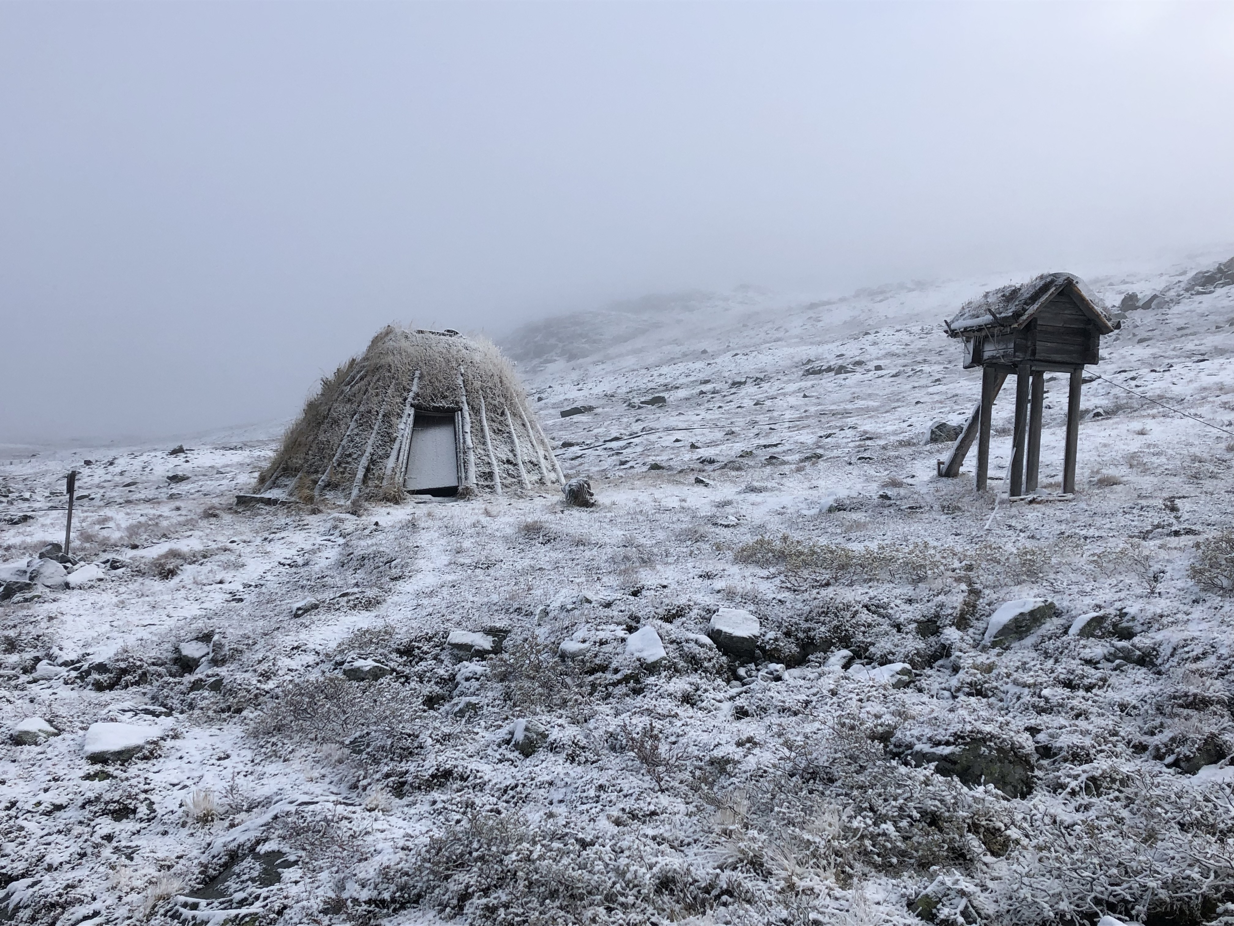
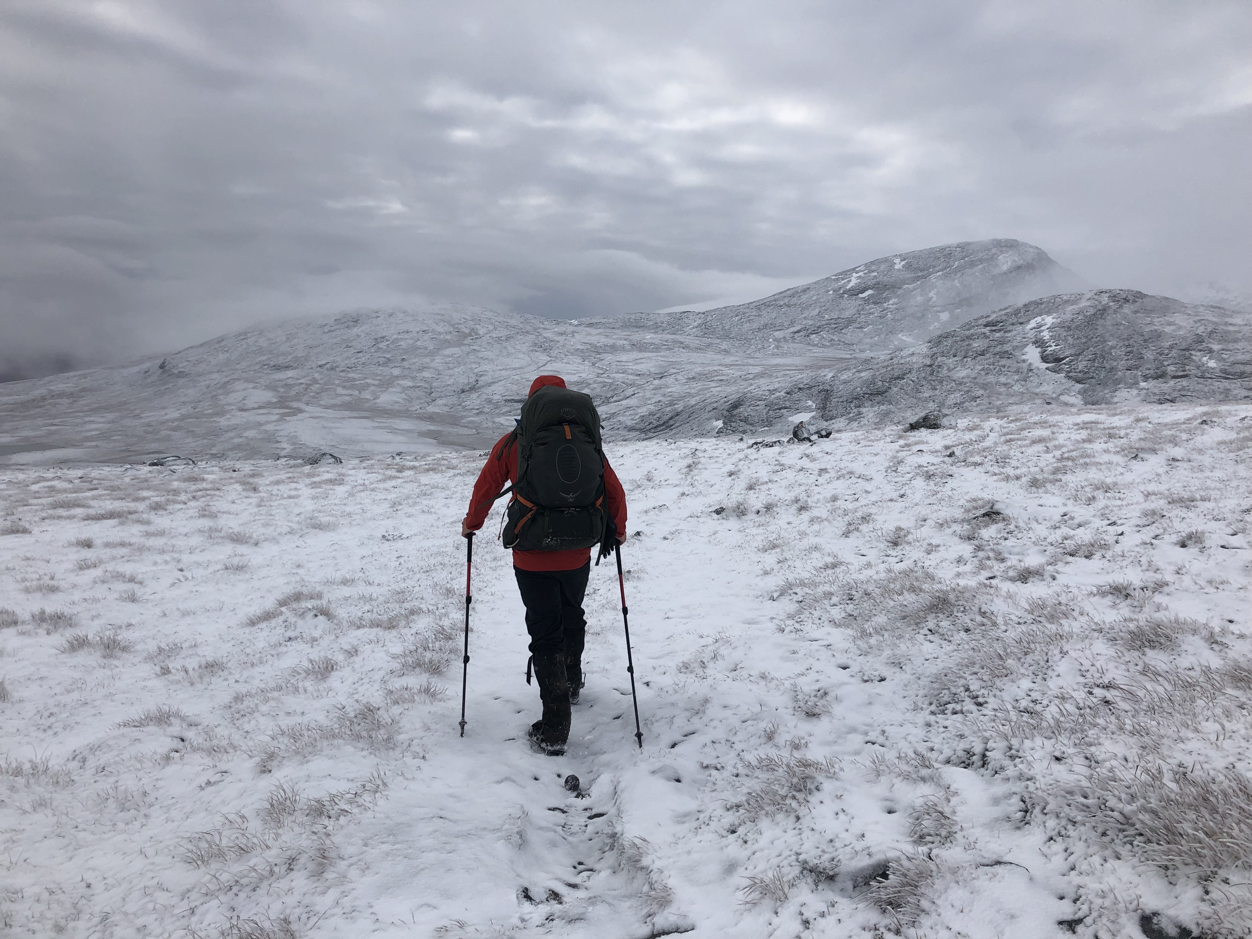
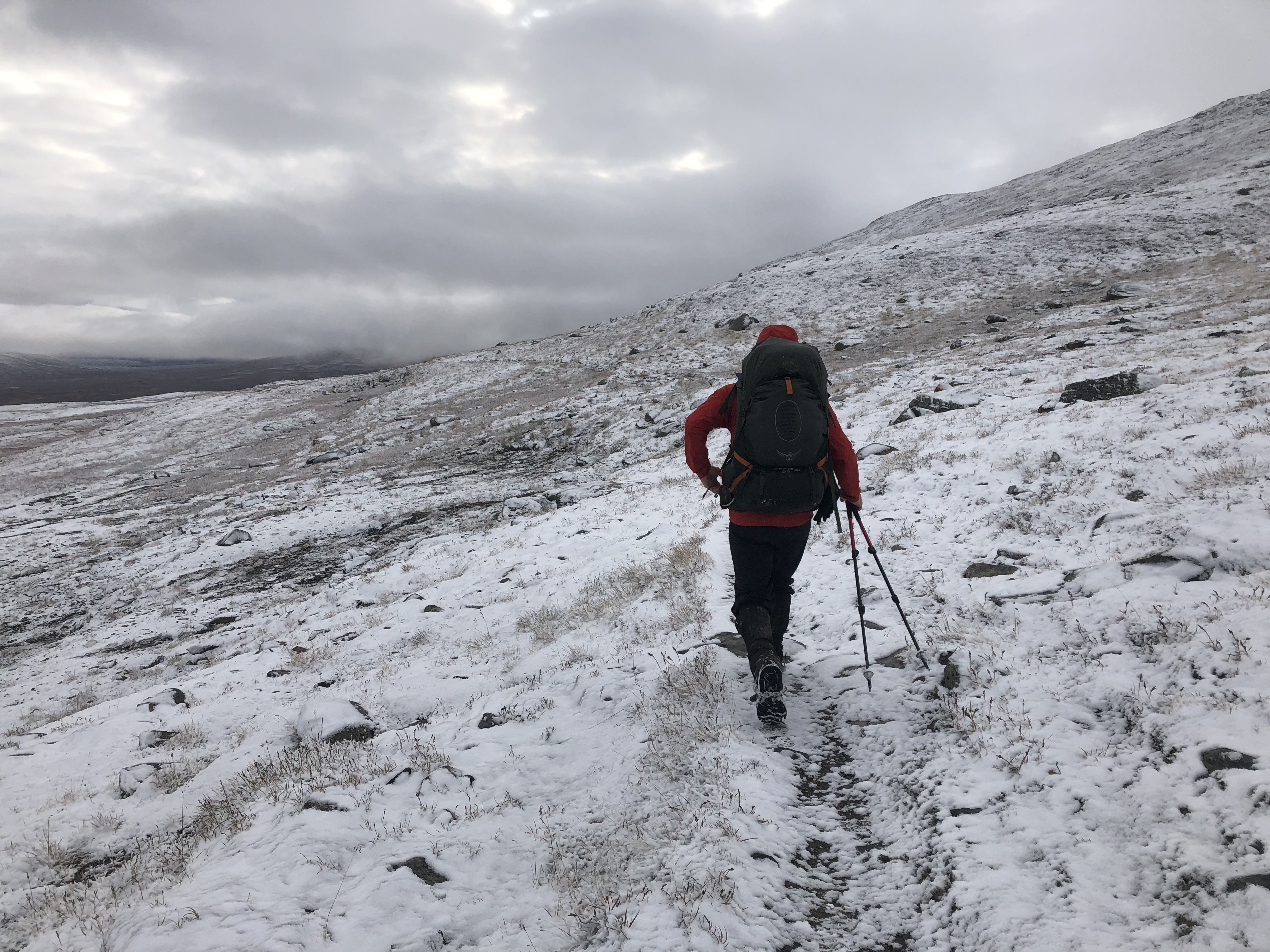
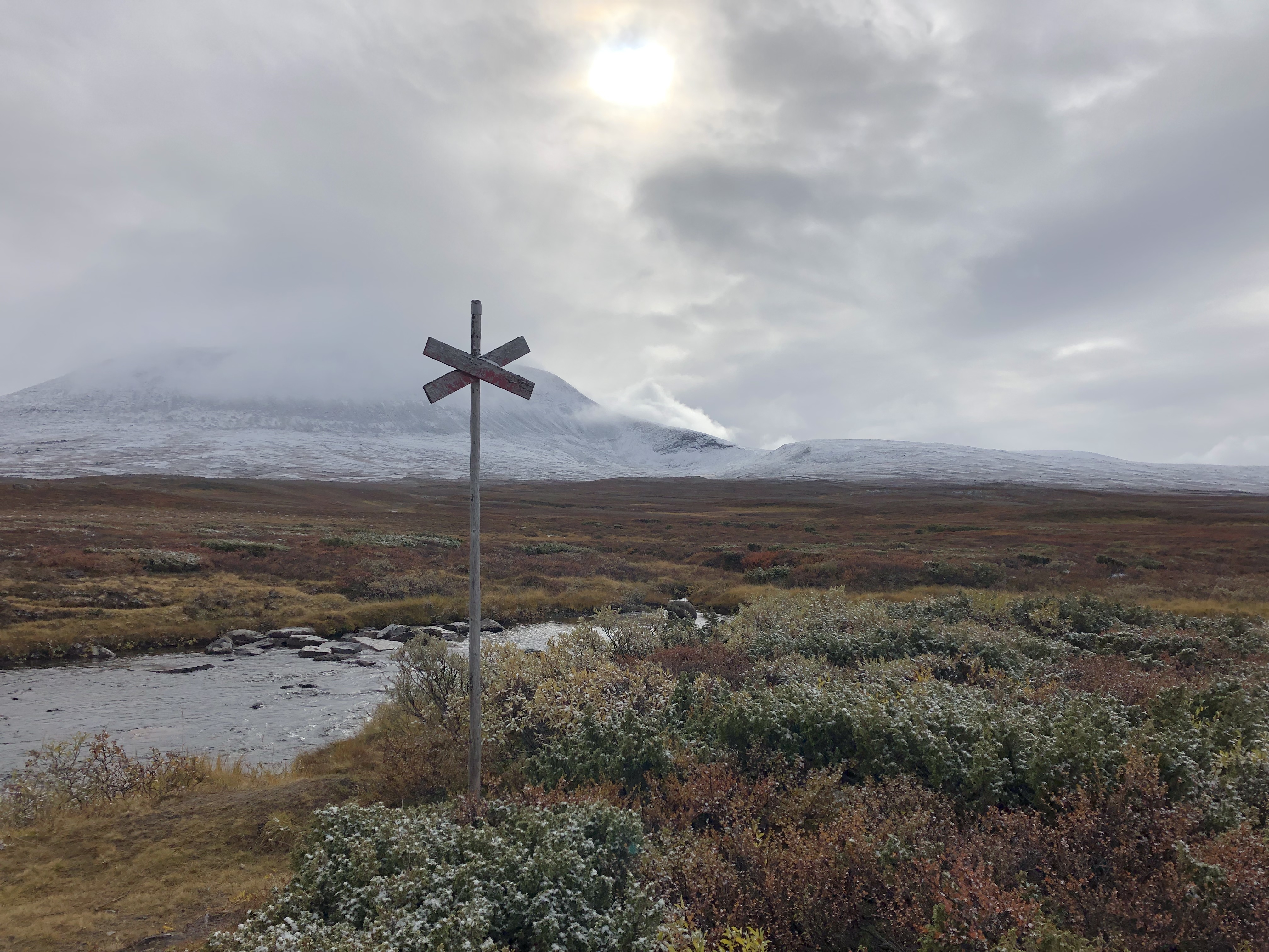
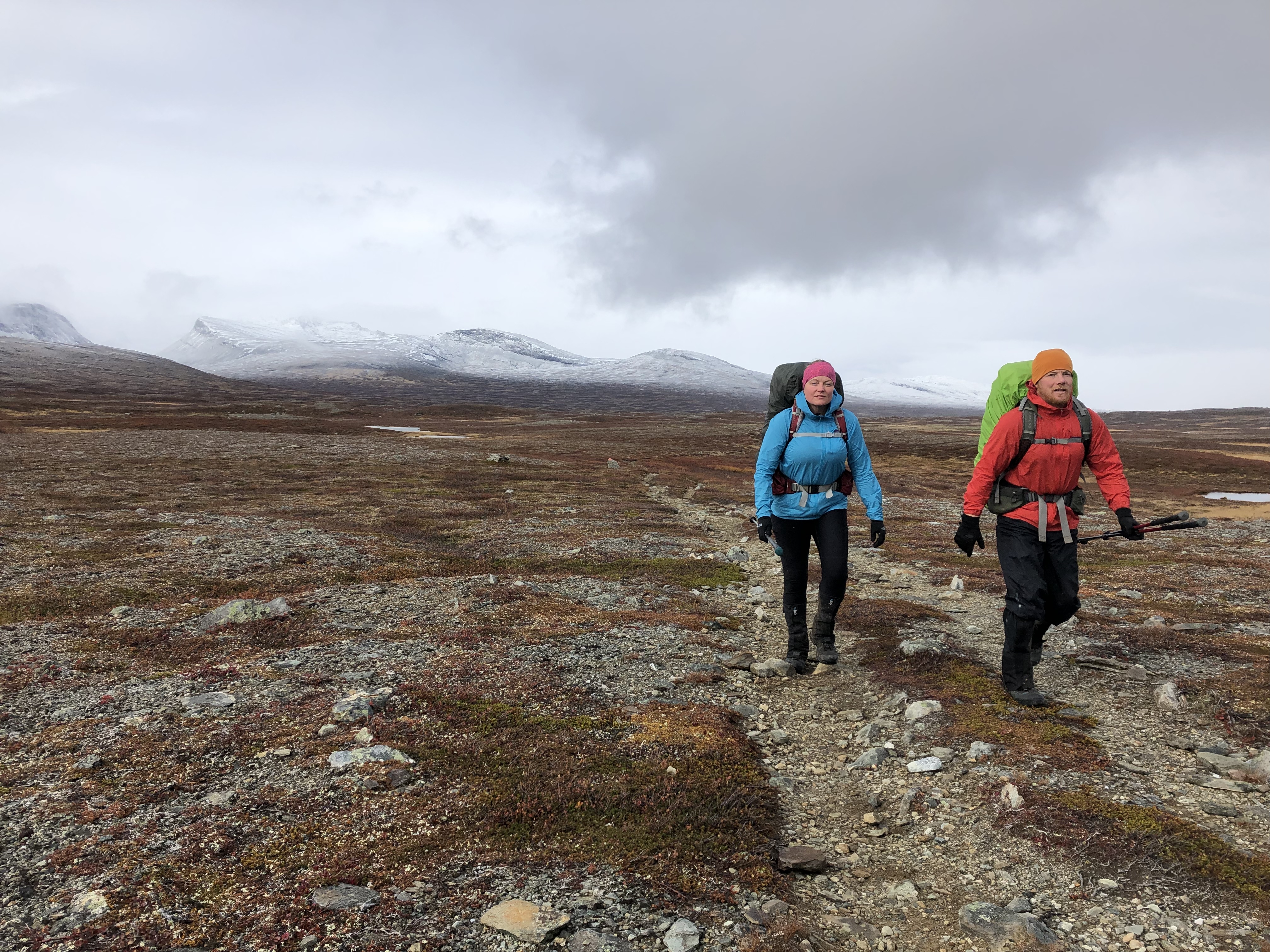
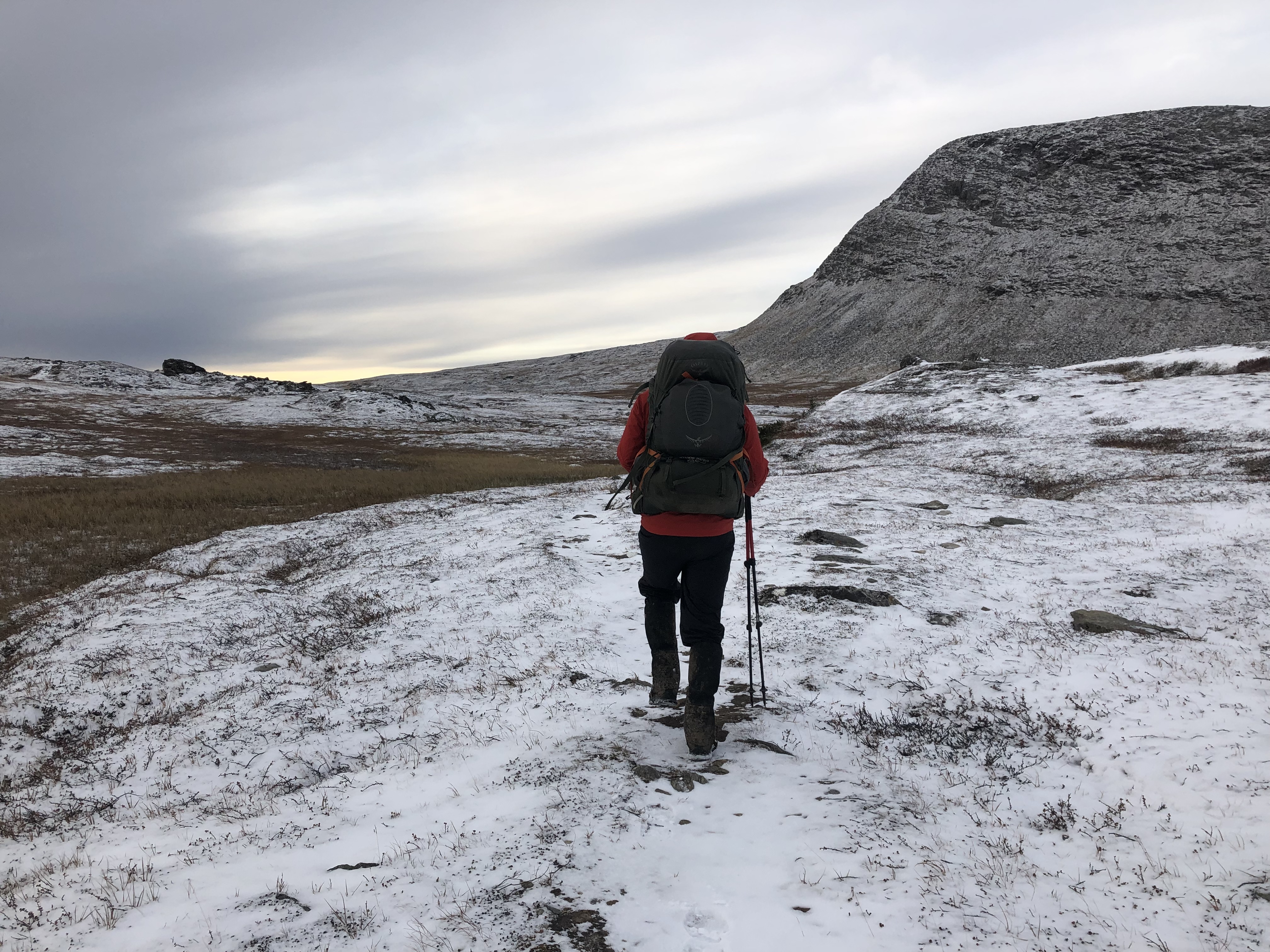
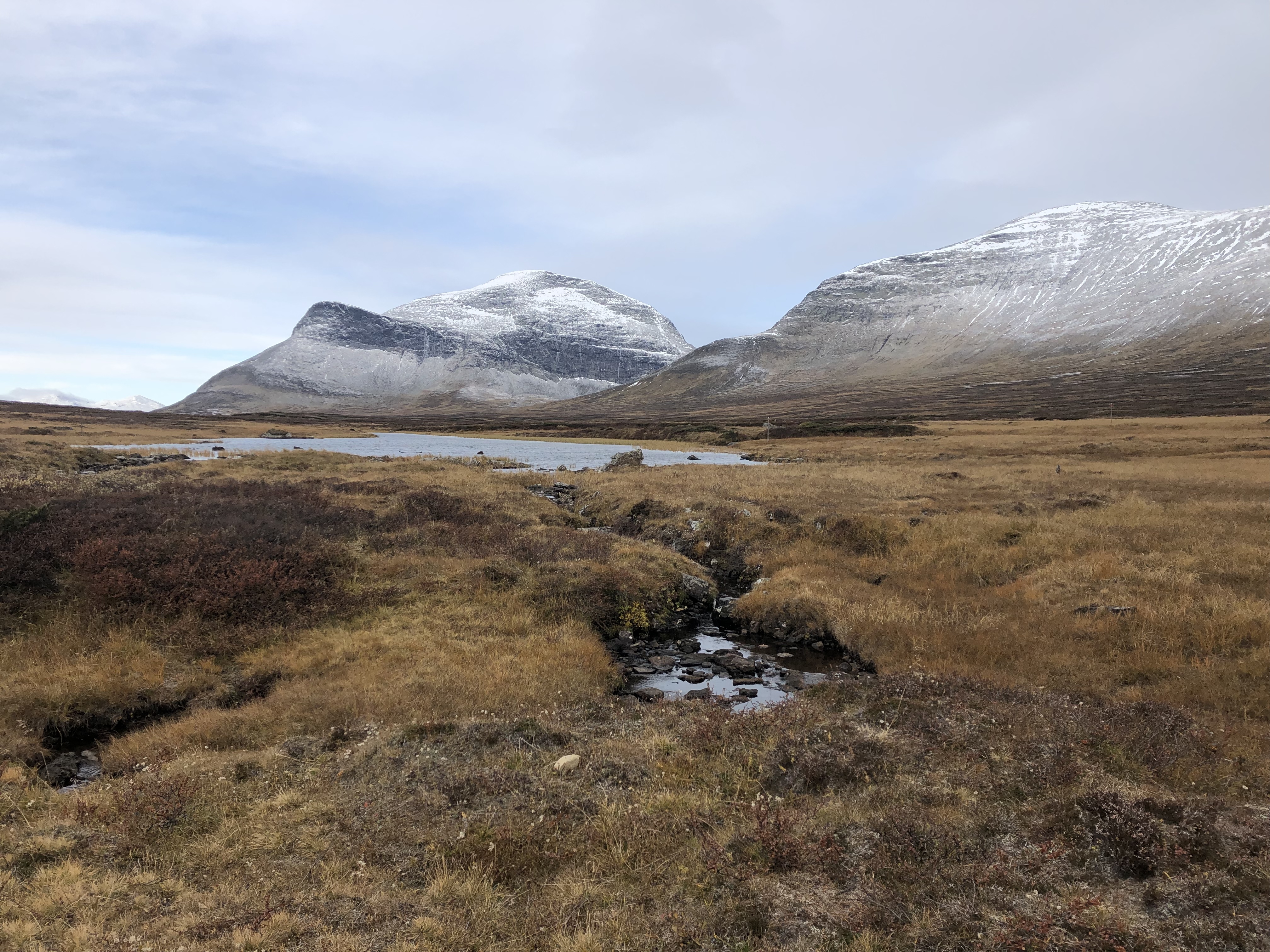
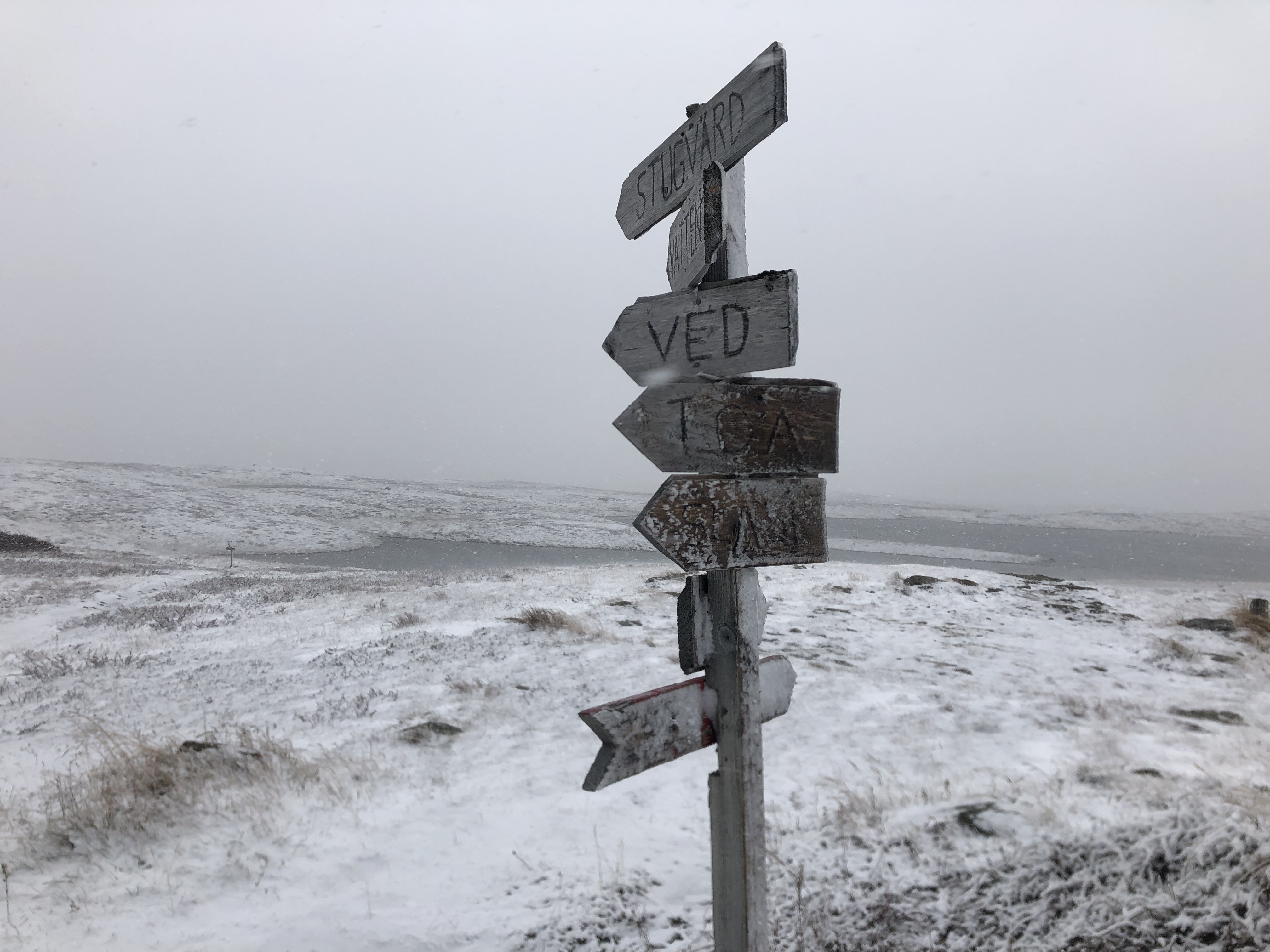
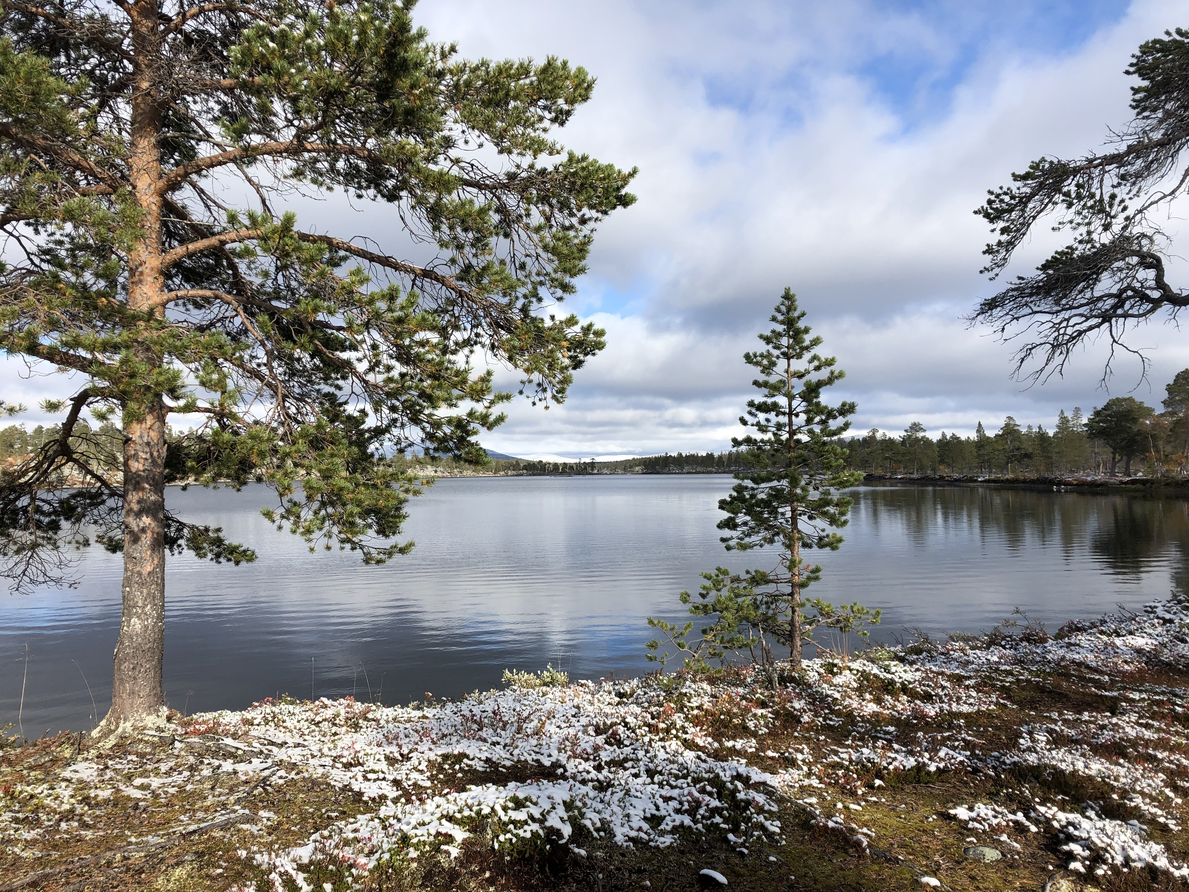
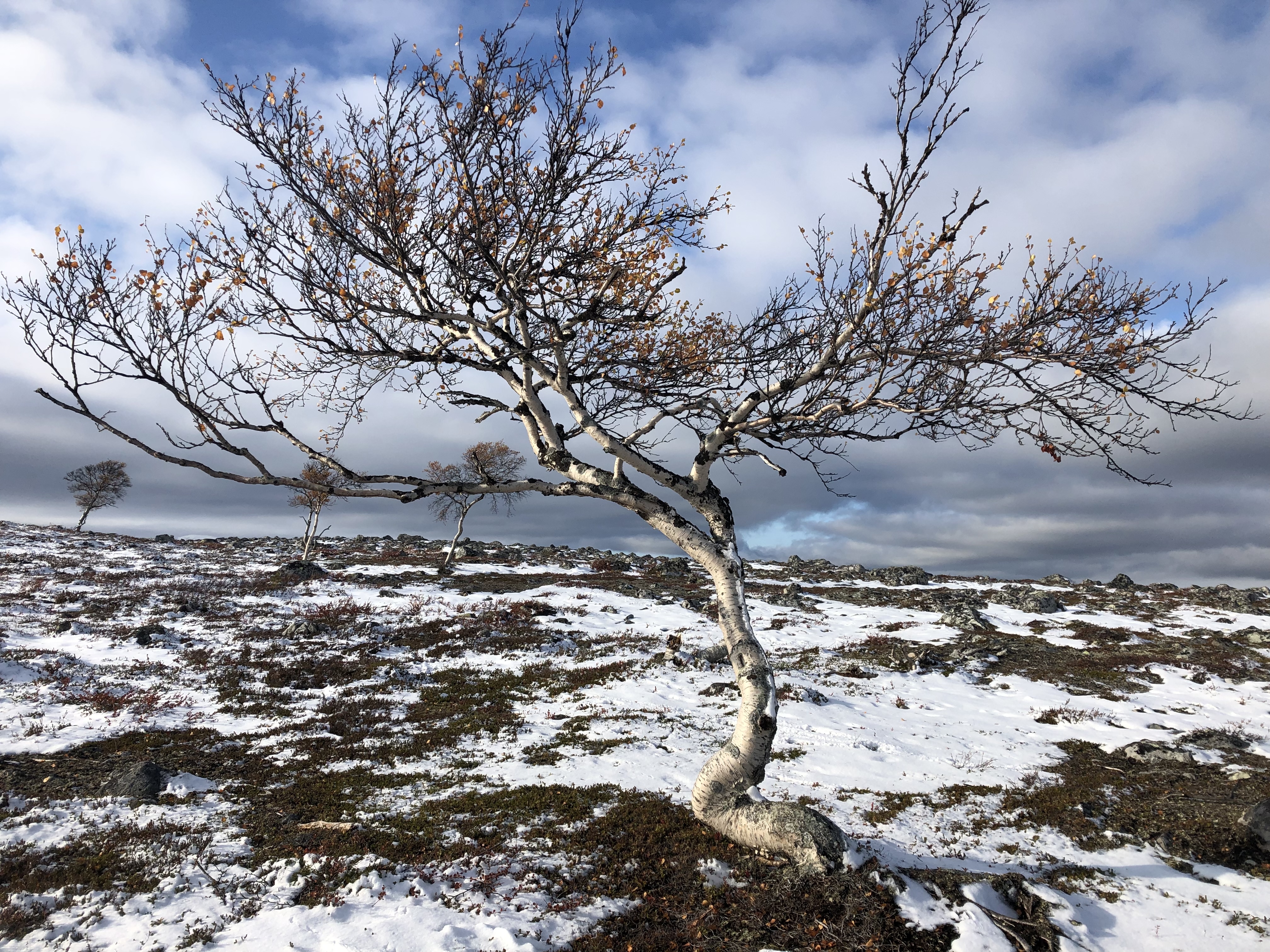
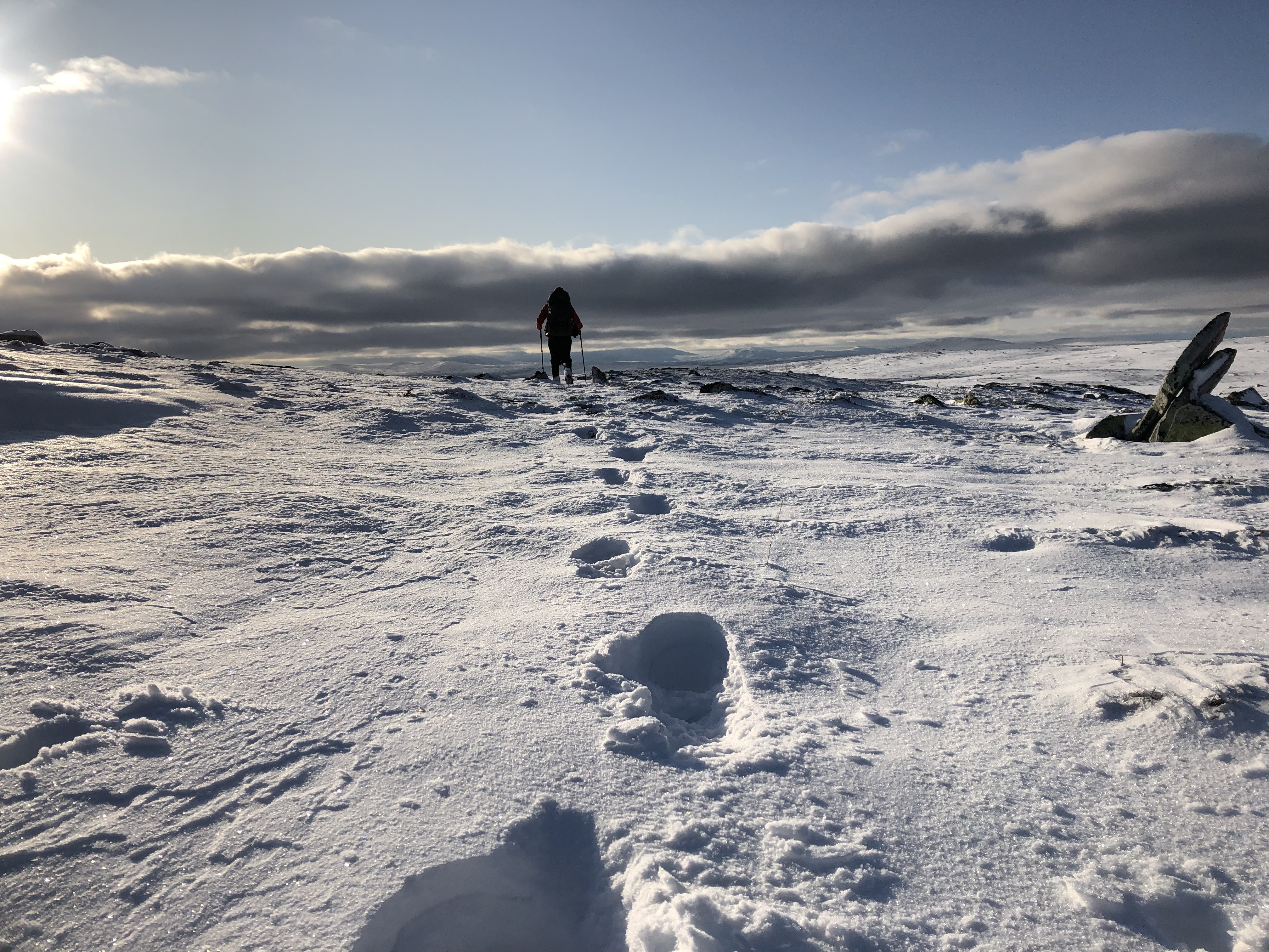
This section lead us up into the beautiful snow covered mountains of Sylarna and Helags, a well trodden national park with large mountain stations to accommodate the large crowds. Lucky for us the people were gone as the stations were closed for the season and all that remained was the trench like paths made by thousands of feet.
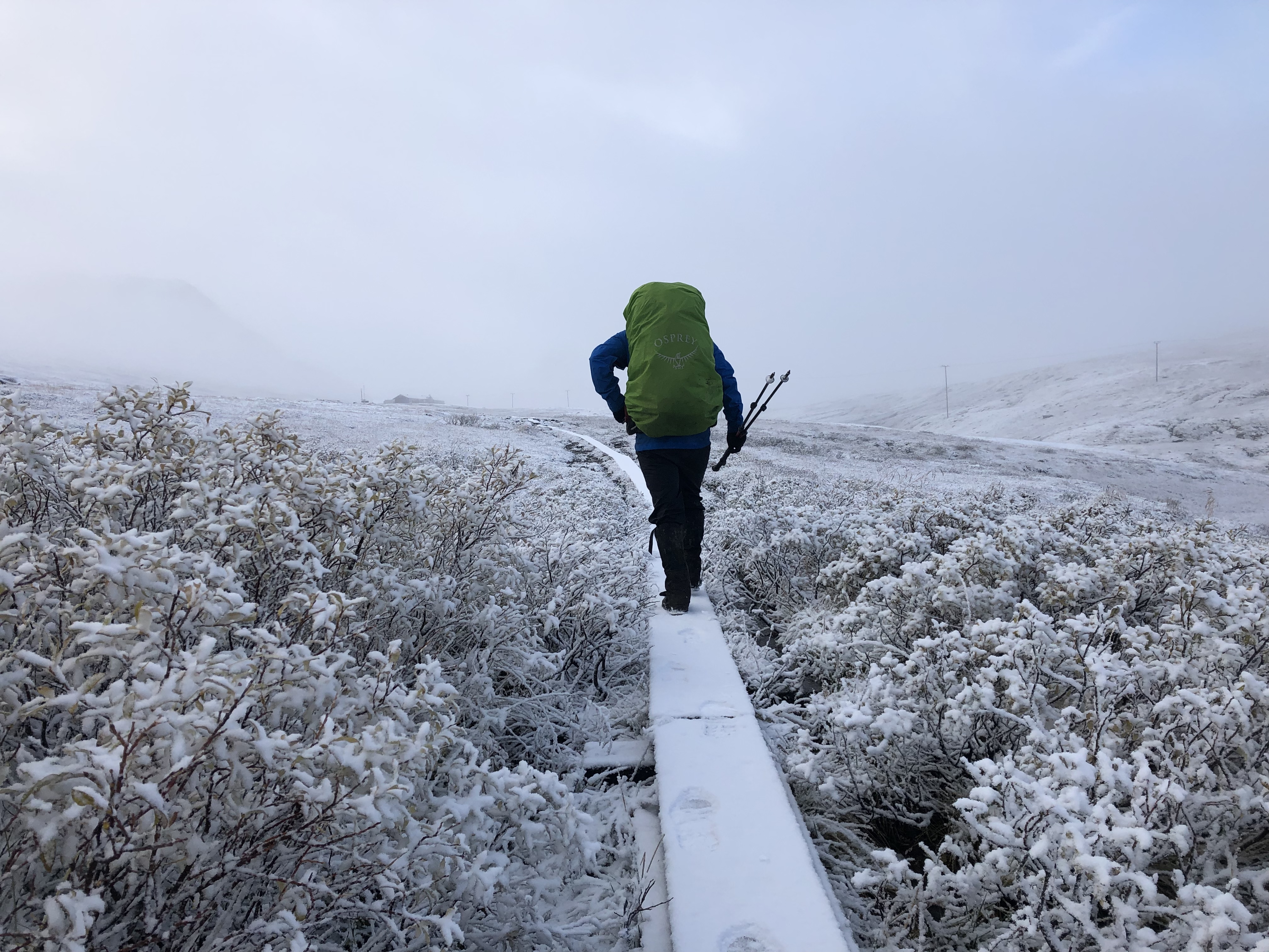
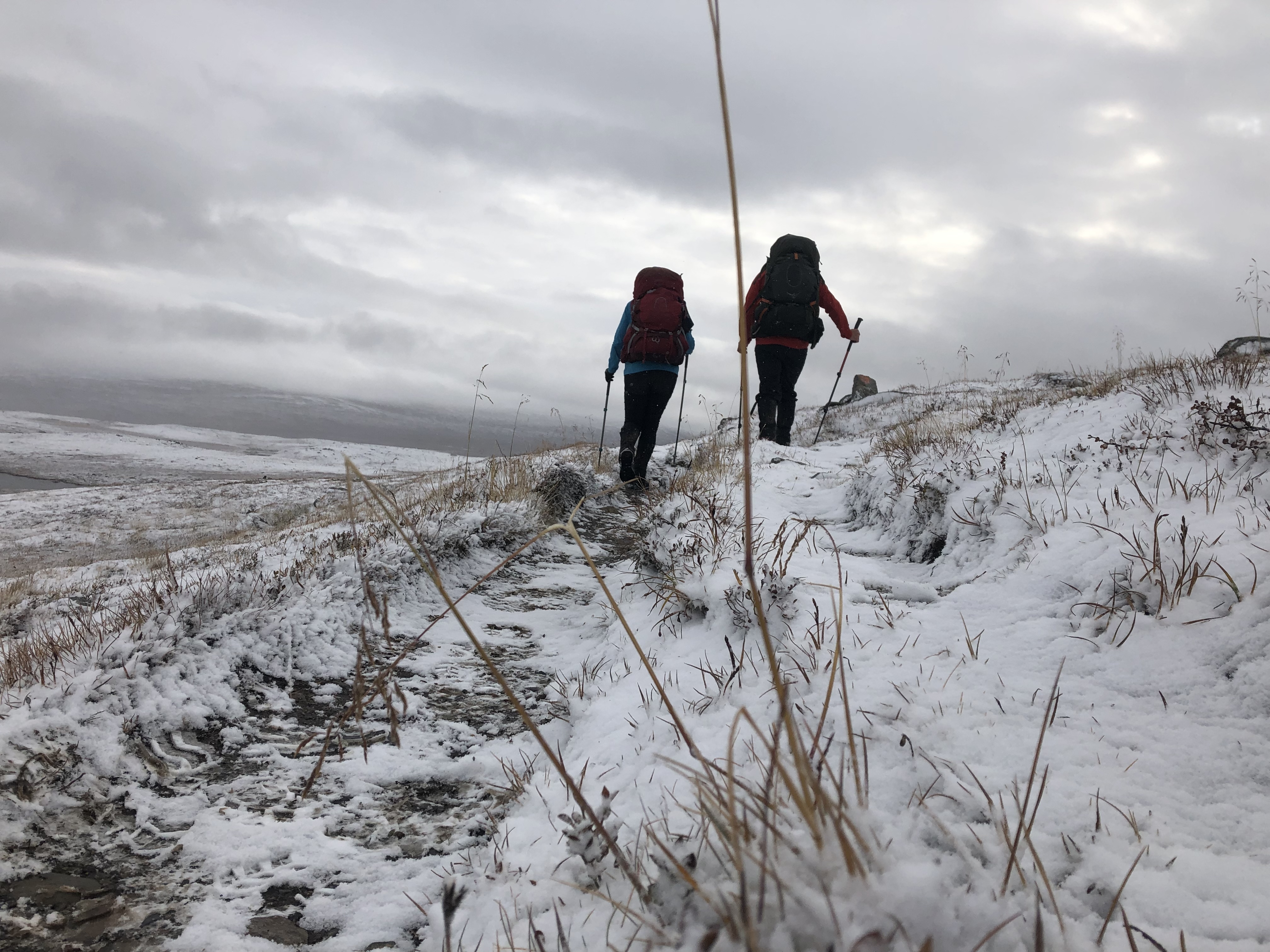
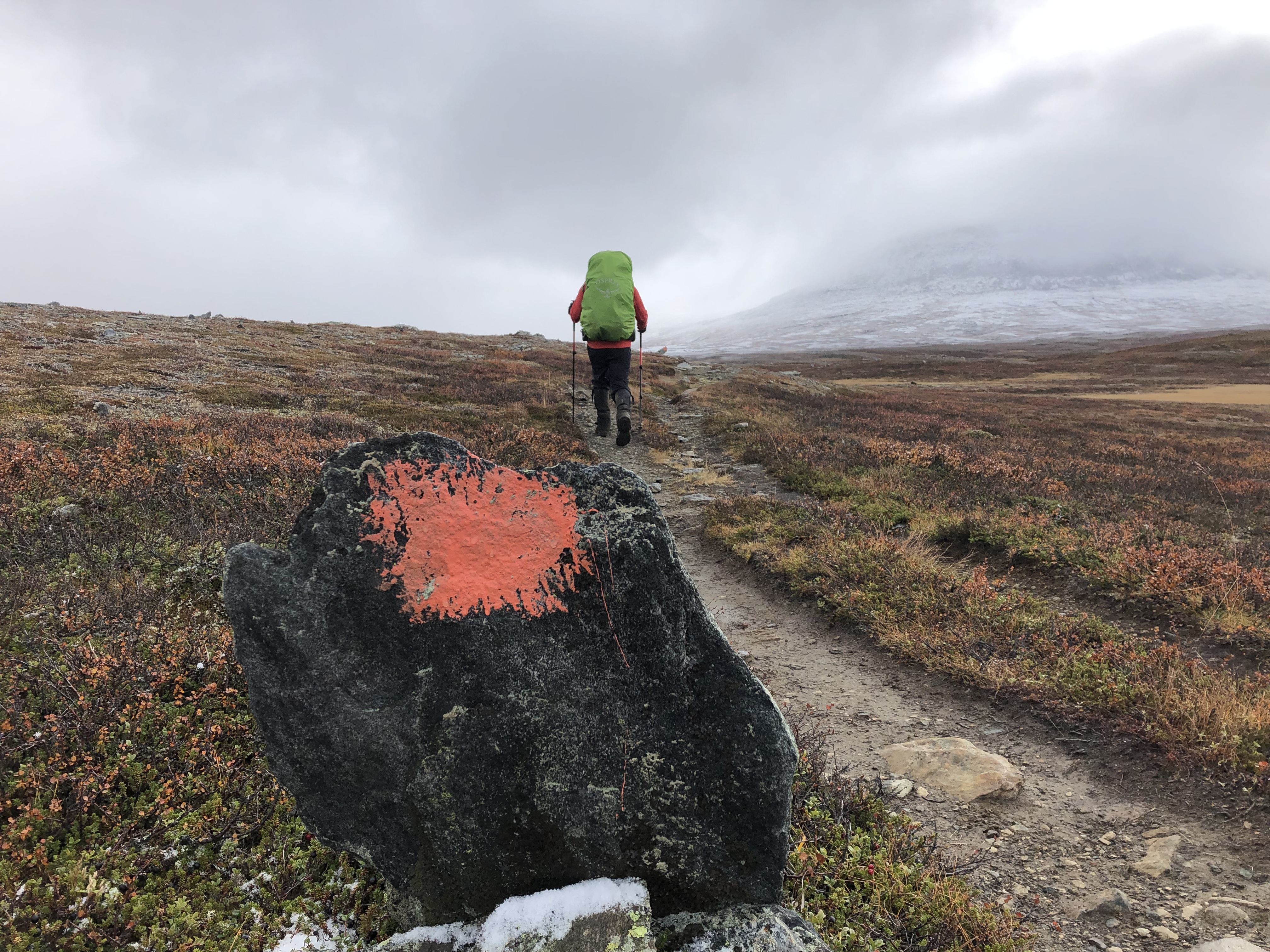
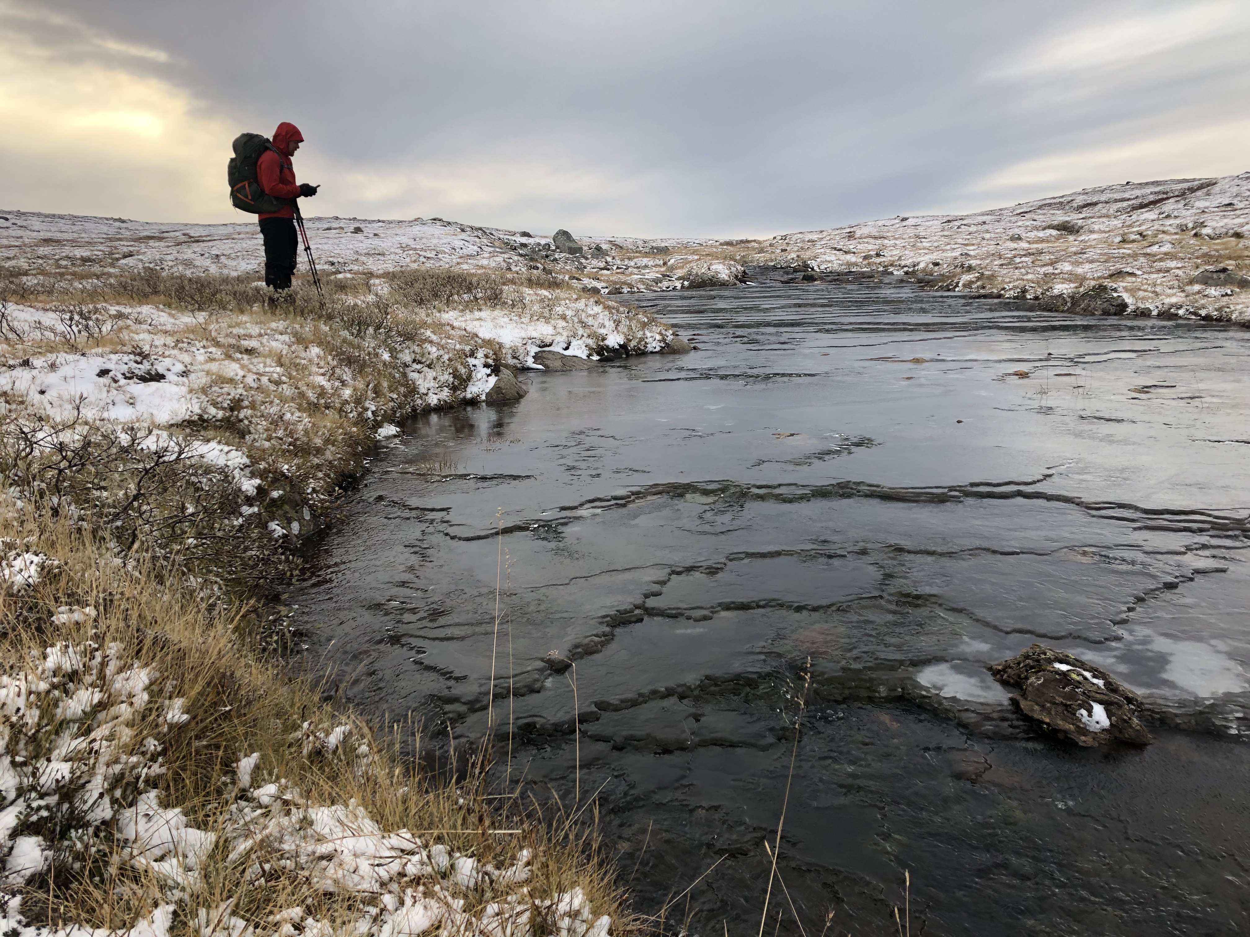
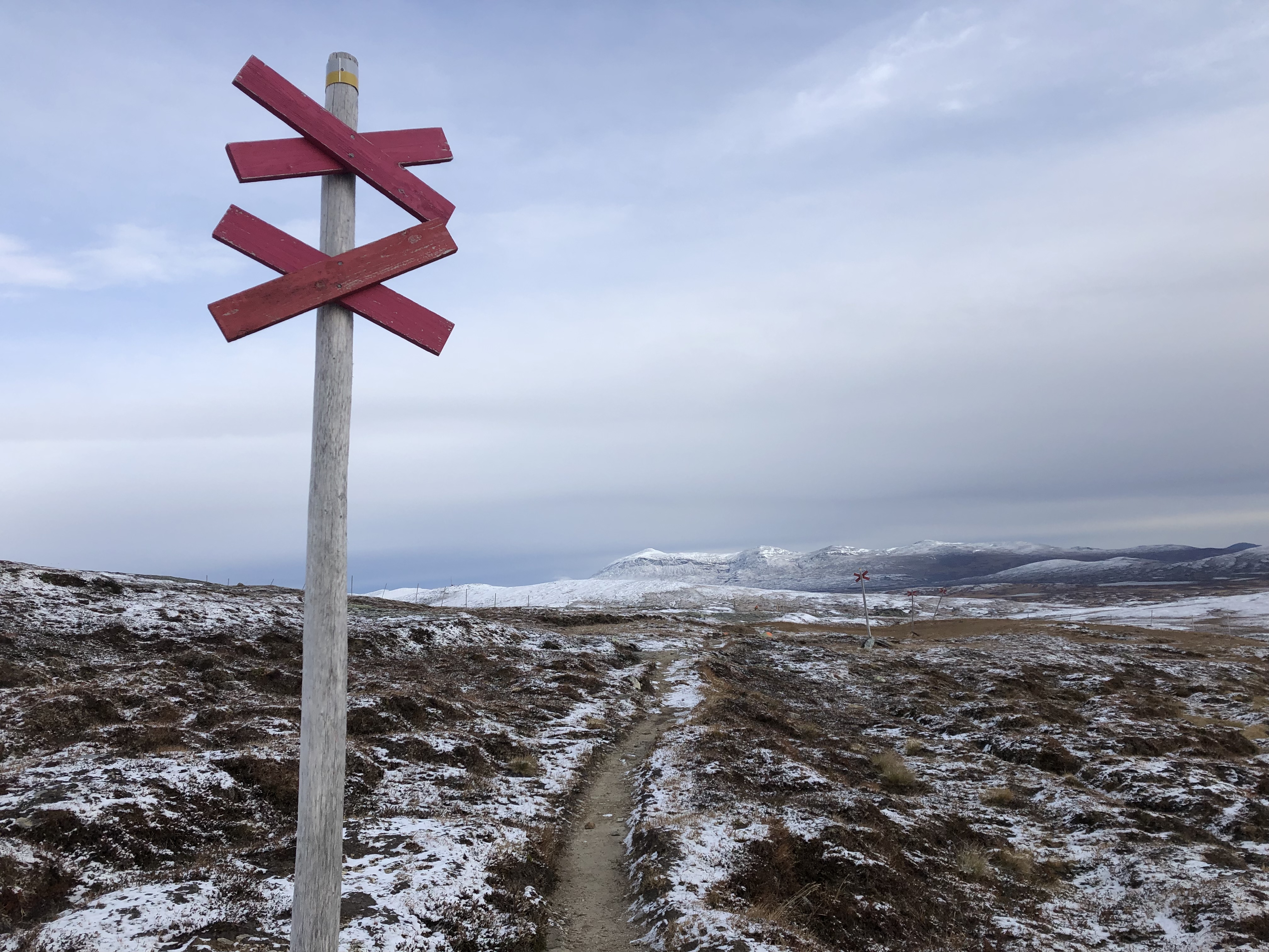
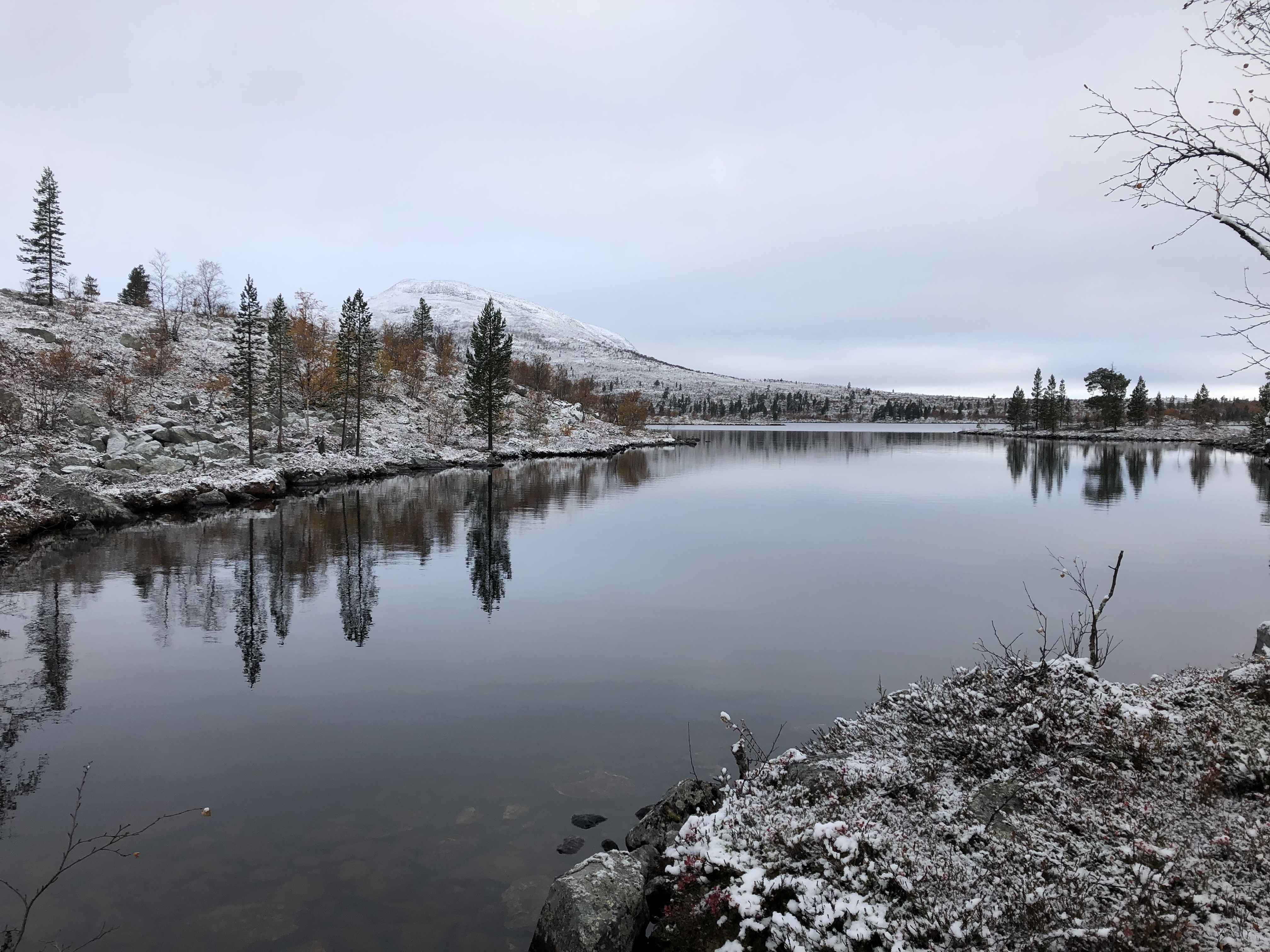
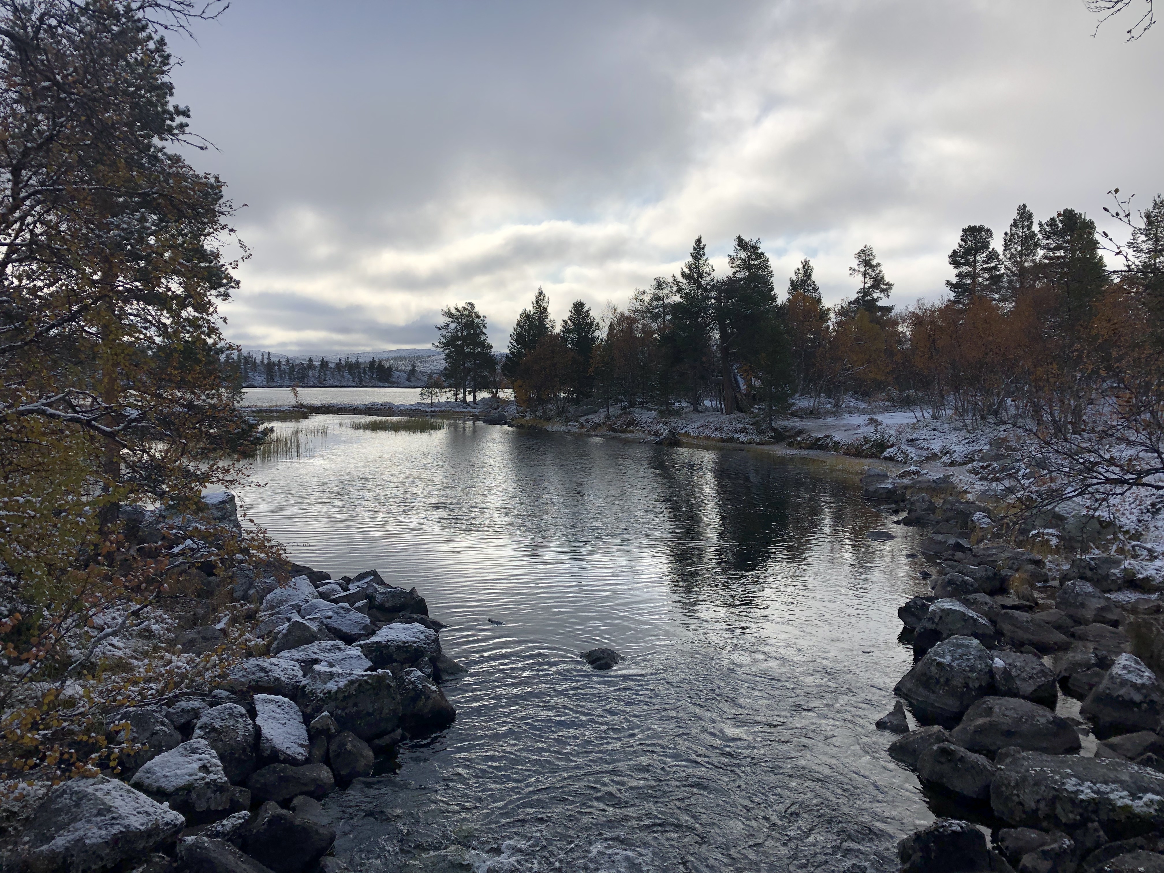
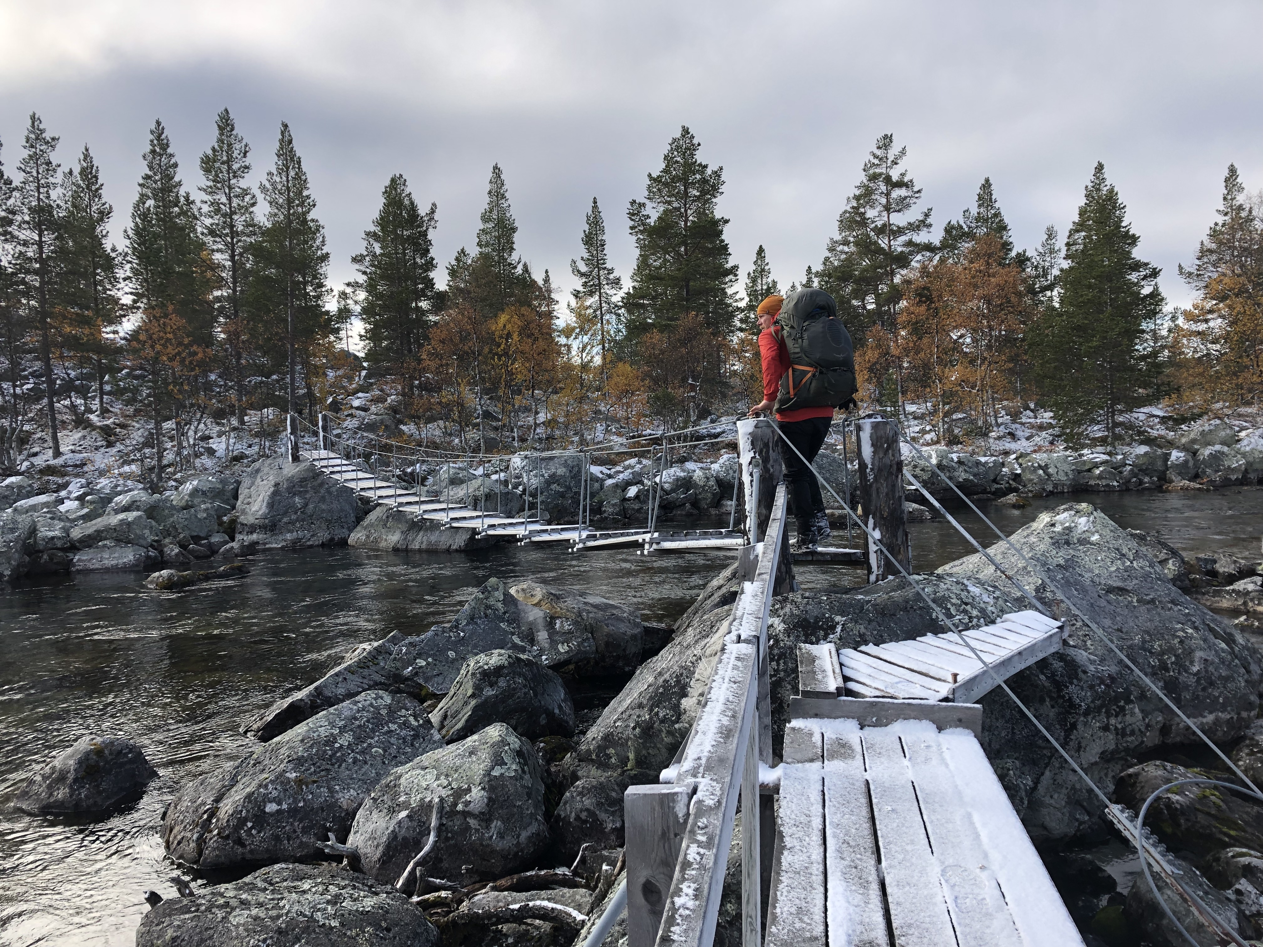
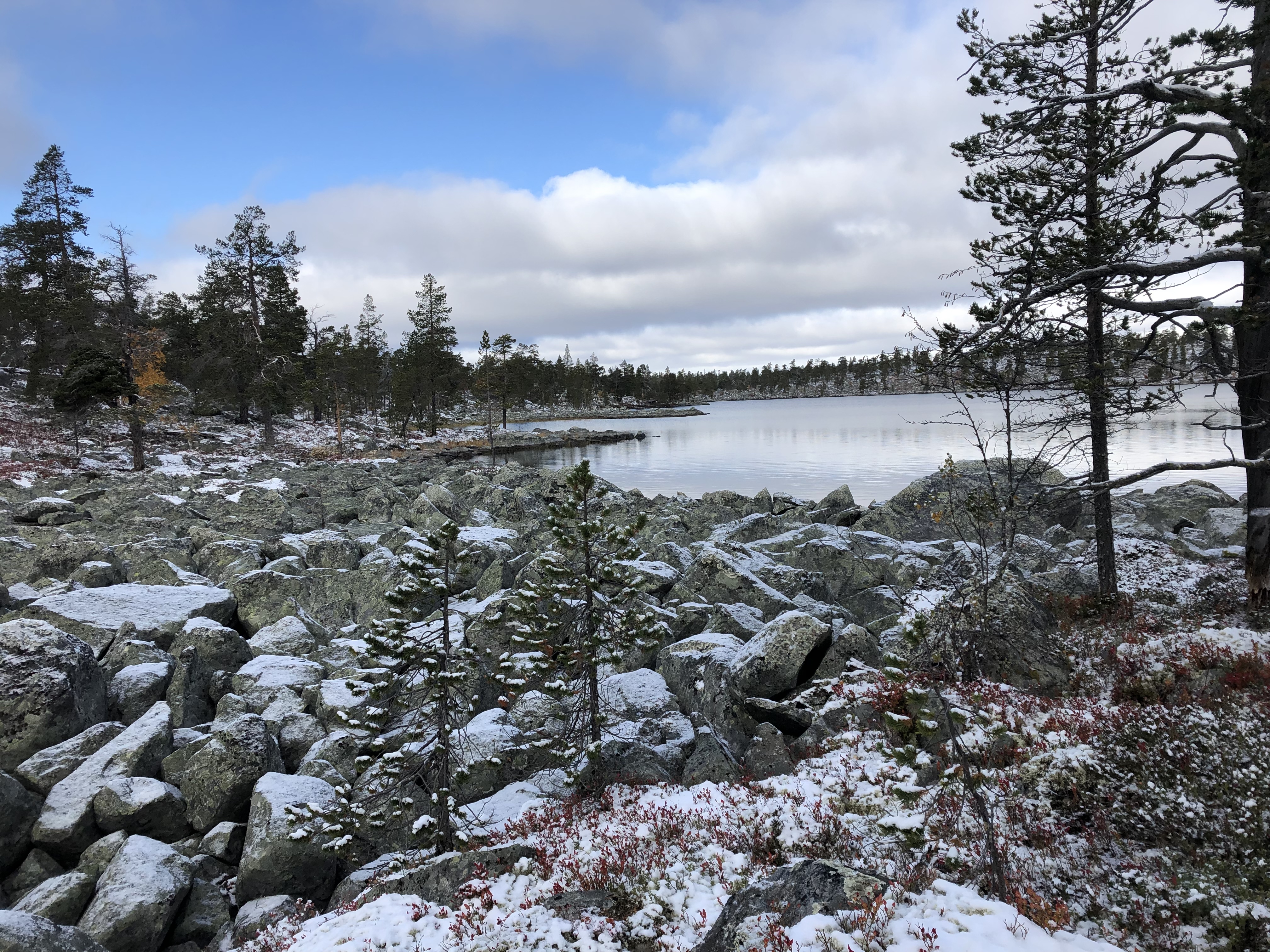
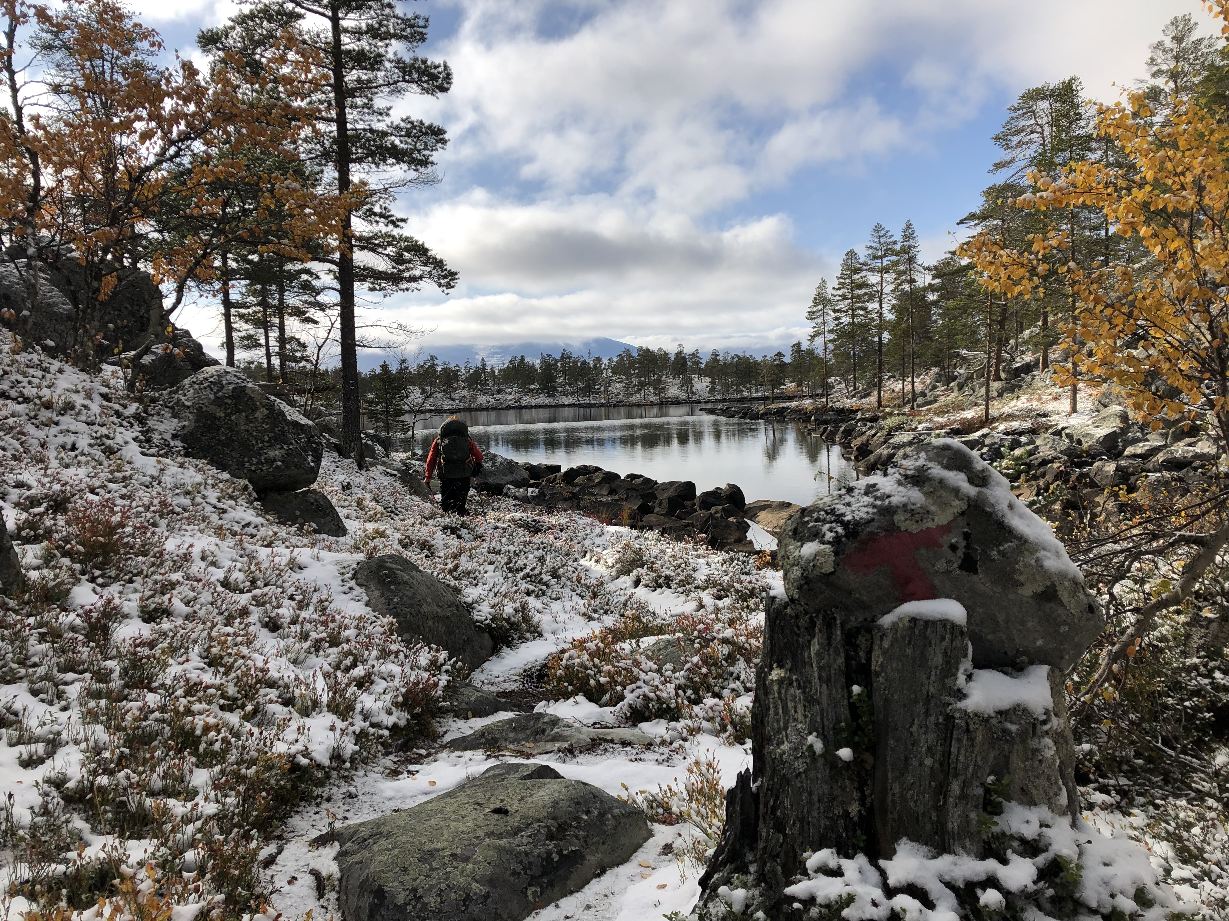
The trails were well marked with or without snow on the ground and made for fast travel, we dropped in and out of a few small ski resort towns before entering Rogen nature reserve. Here the terrain completely changed into large slippery boulder fields as we navigated around numerous small lakes and rivers. This made for challenging days to make the kms we were hoping to achieve.
We also entered back into Norway briefly through Femundsmarka national park to hike around the last mountains surrounding Grövelsjön. From there it was a straight road walk all the way to Sälen. We managed to find a few old logging roads that kept us off the tarseal for large parts of it though.
Trail journal
Day 94: Storlien to Sevedholm
Distance: 10 km (1860 km total). Weather: sunny with clouds
Left town and started following Southern Kungsleden south over the mountains. Walked for a couple of hours then camped up as the sun begun to set.
Day 95: Sylarna
Distance: 24 km (1884 km total). Weather: fog/drizzle/rain all day
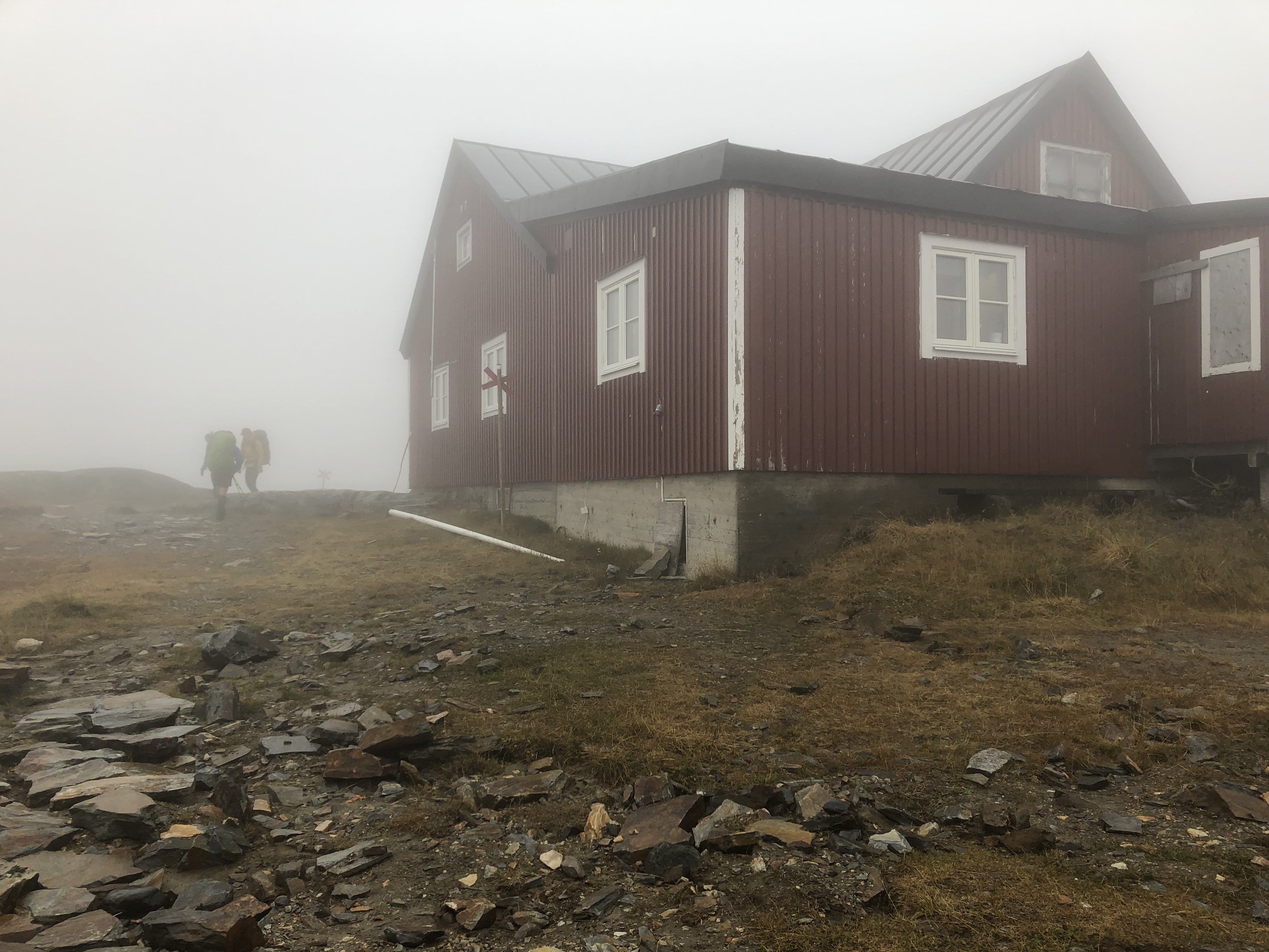
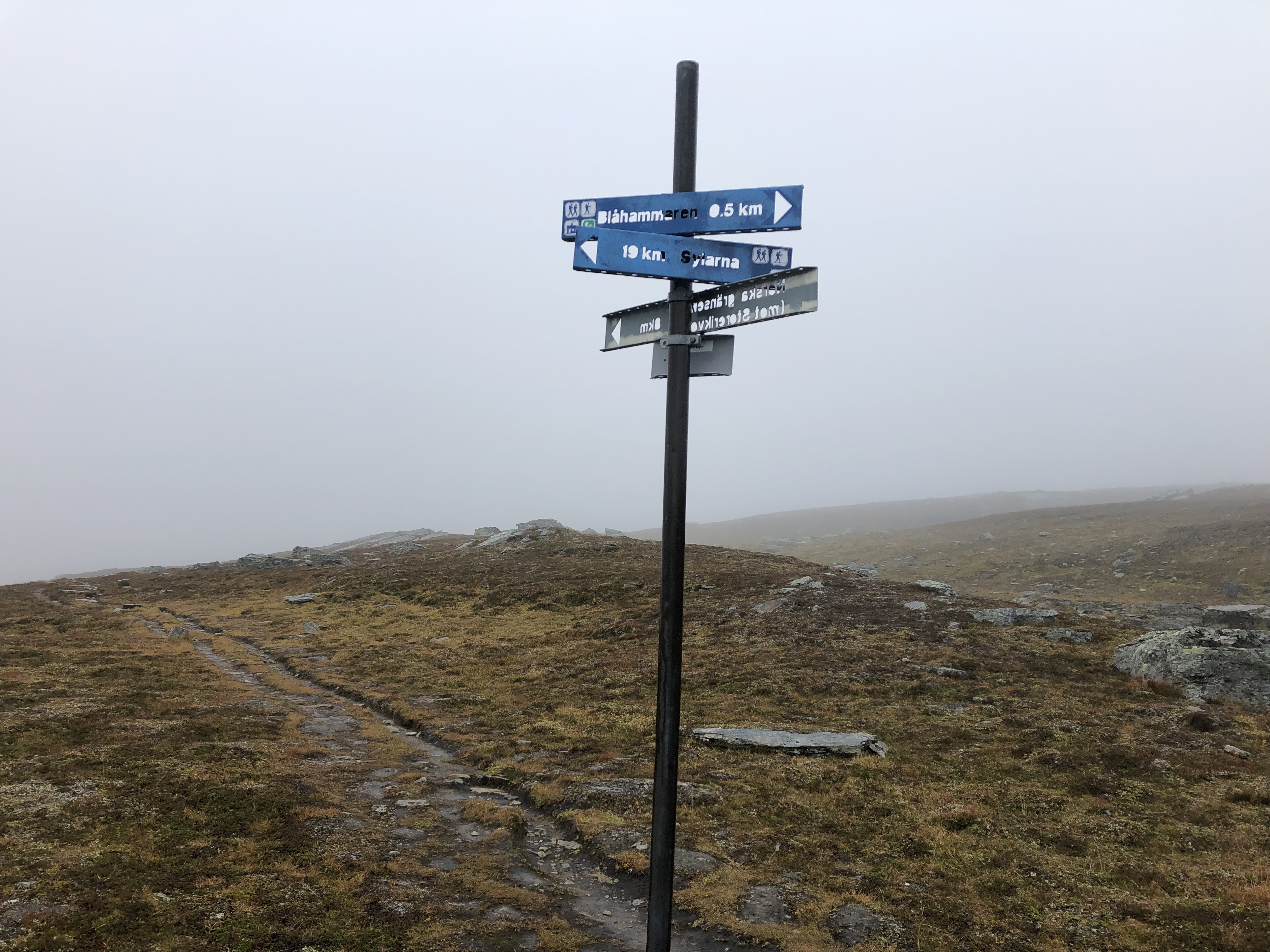
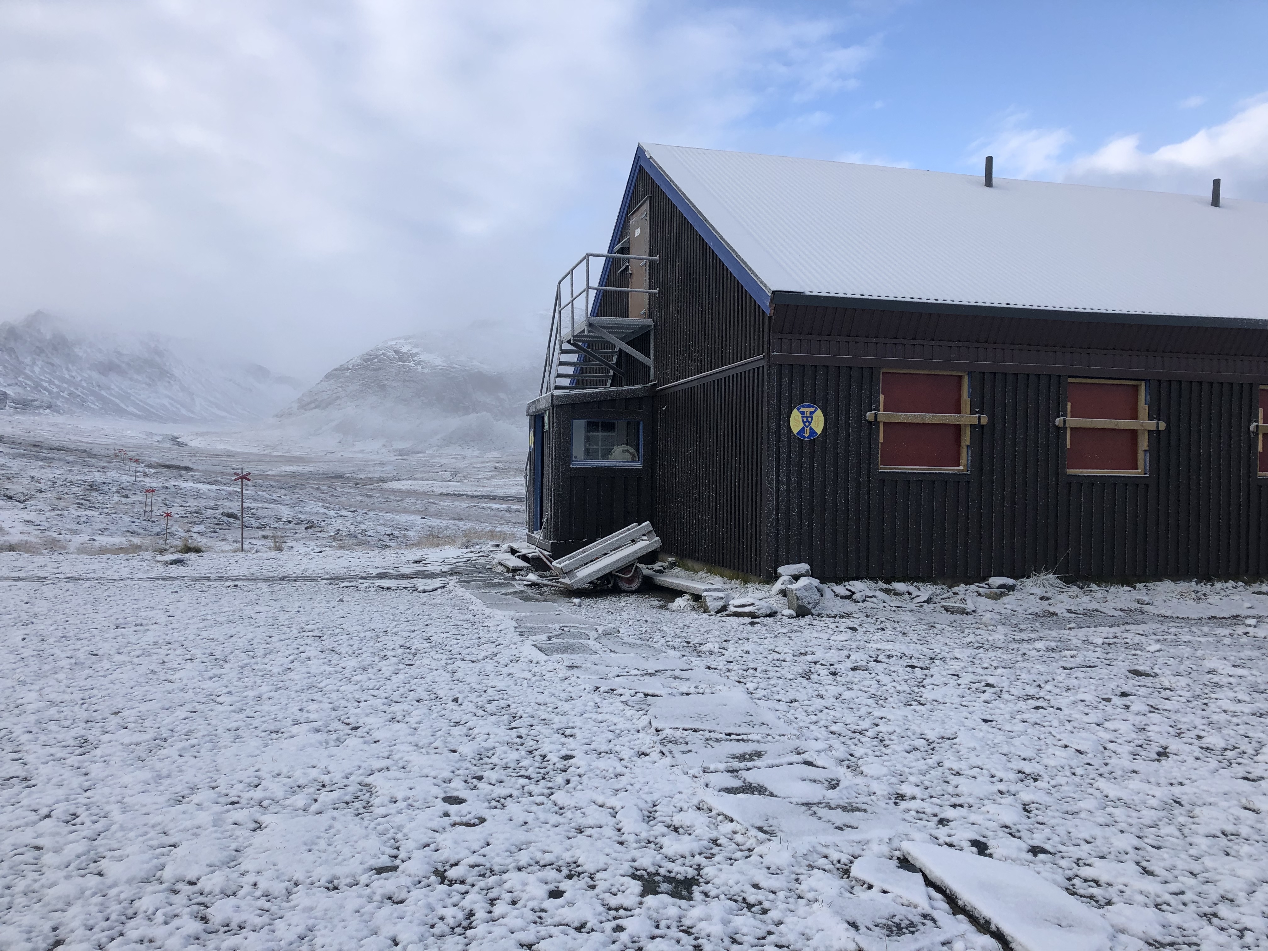
A day of cold never ending rain in the mountains. We climbed up to Blåhammaren mountain station, eerily hidden in fog, in the morning. Stopped in to make a hot drink. The station had just closed for the season, but the guys cleaning it made us a hot kettle of water and let us hang out in the entry way for a while to warm up, charge phones and upload the latest blog update.
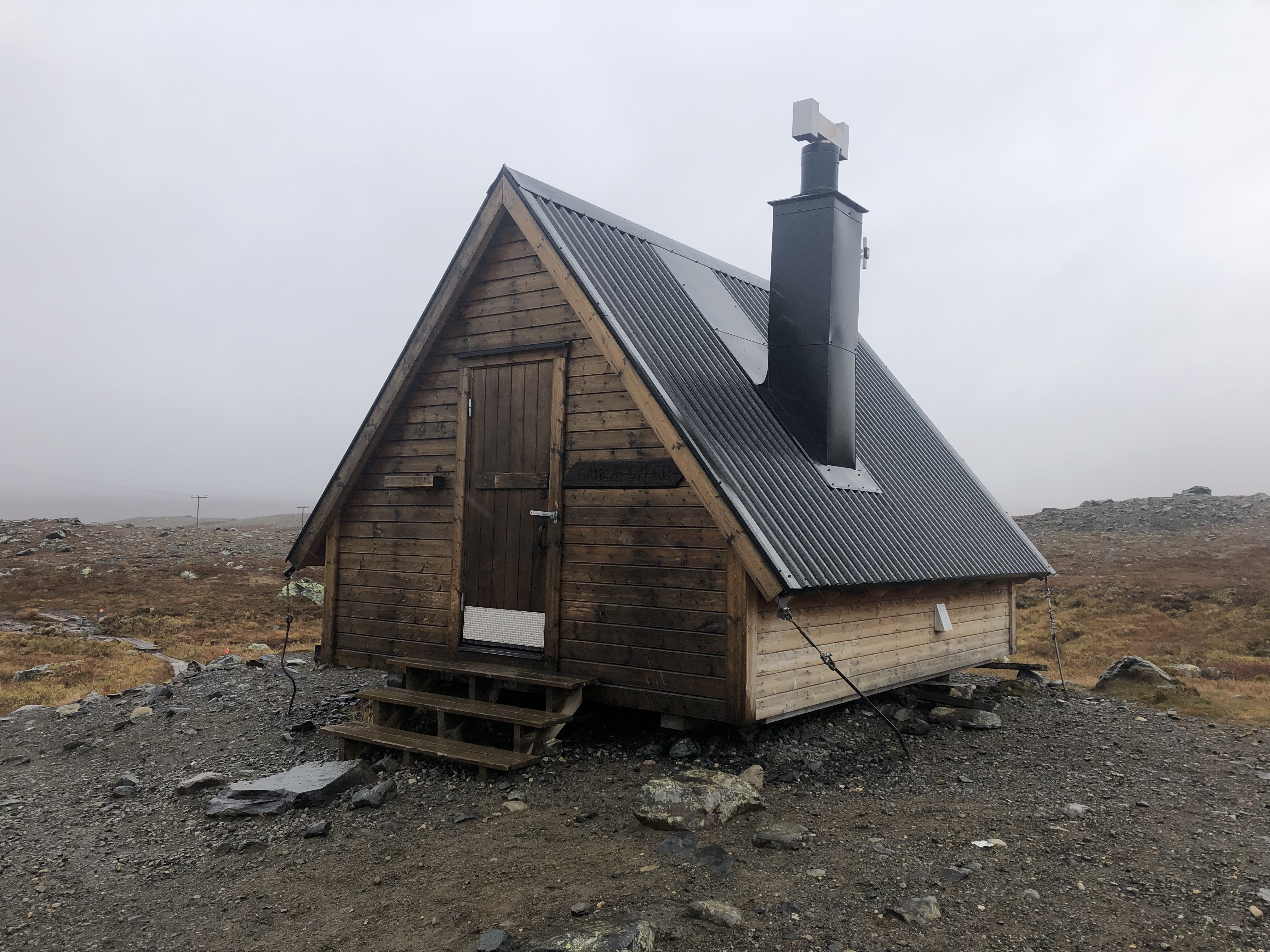
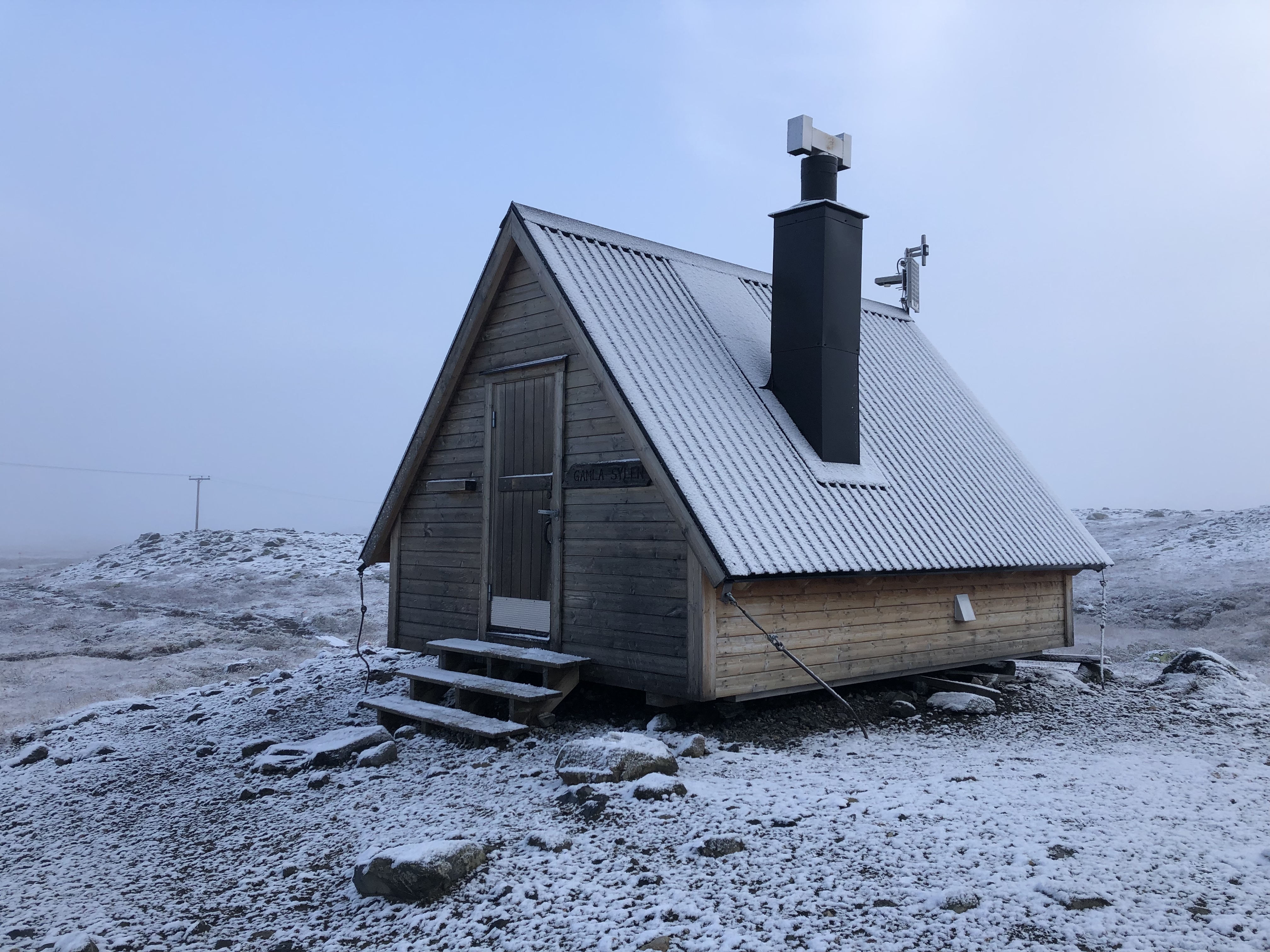
Beautiful up here. We followed the very well used trail towards Sylarna mountain station about 20 km south. We found a tiny rest stop shelter about half way and stopped in for lunch out of the rain. Camped up at the next shelter a few kilometers below the mountain station at Sylarna.
Hoping for a break in the weather for tomorrow so we can see the beautiful mountains surrounding us.
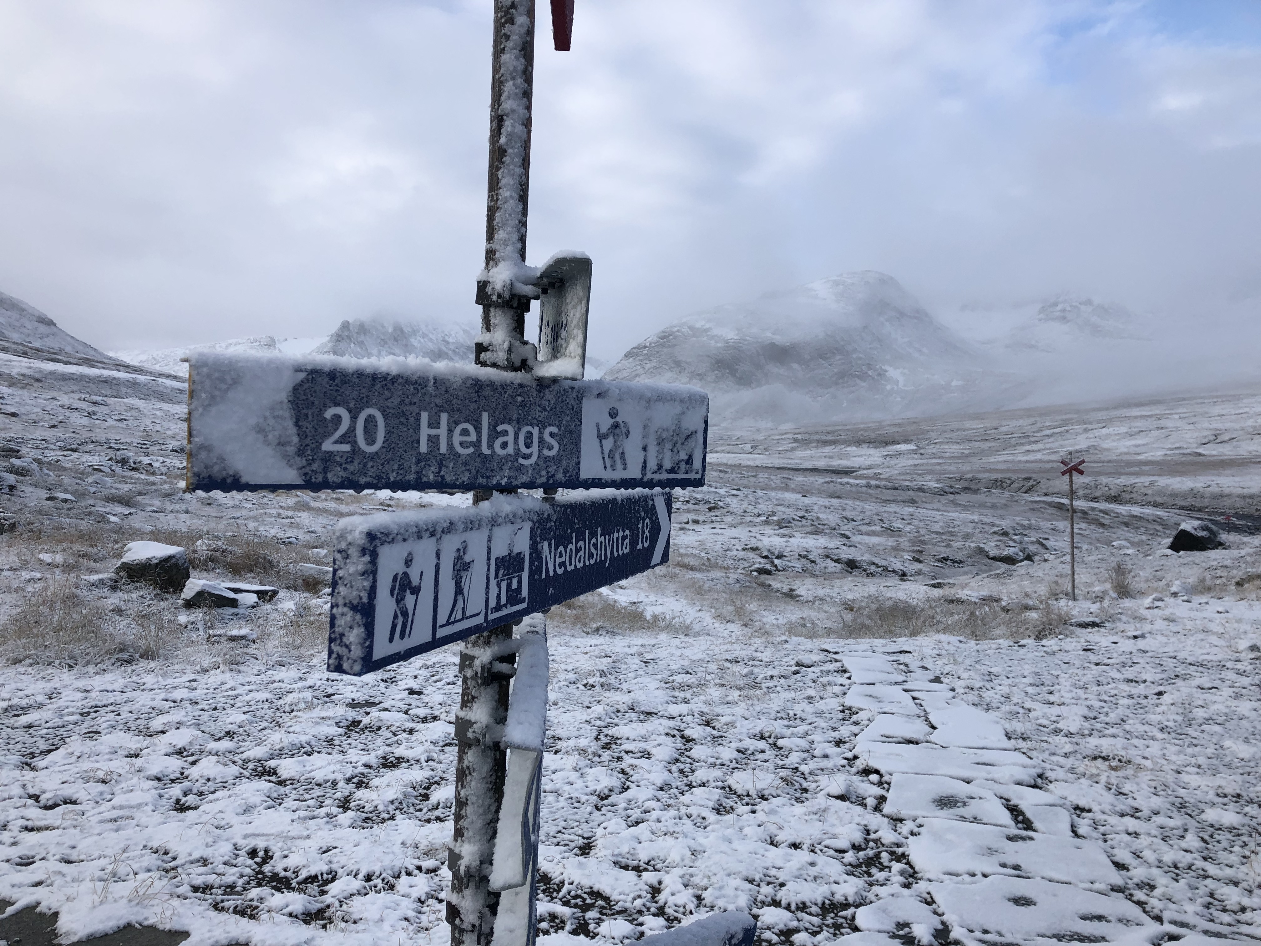
Day 96: Helags
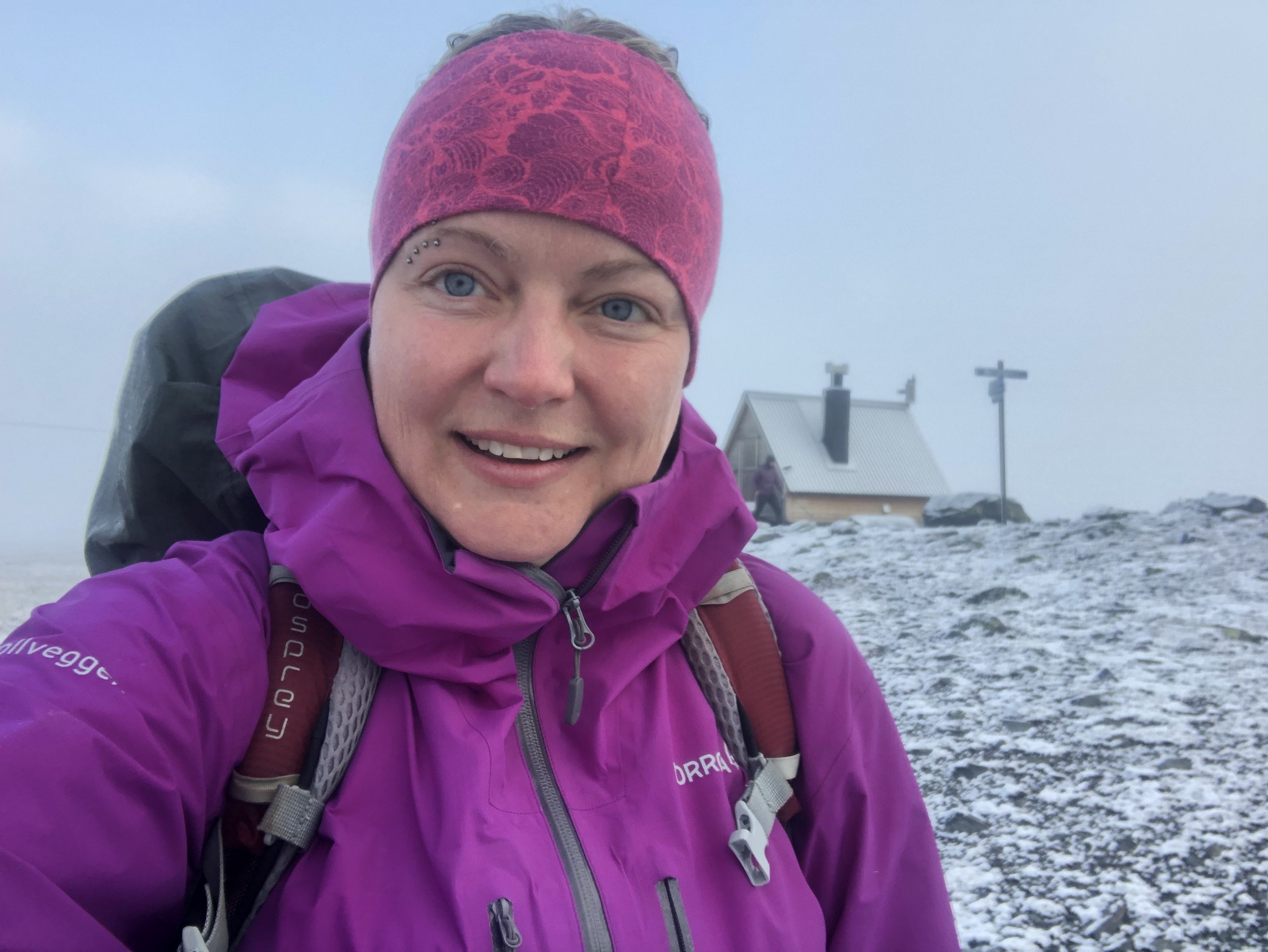
Distance: 23 km (1907 km total). Weather: snow flurries, sun with clouds
A cold but beautiful day up in the mountains in the snow. All the mountain stations closed this week so it is very peaceful and quiet on these popular trails. During the hiking season it can be rather crowded up here. We like it better this way. Nice!
Day 97: Fältjägarstugan
Distance: 14 km (1921 km total). Weather: sun with clouds in the morning, storm with high winds and snow by lunch
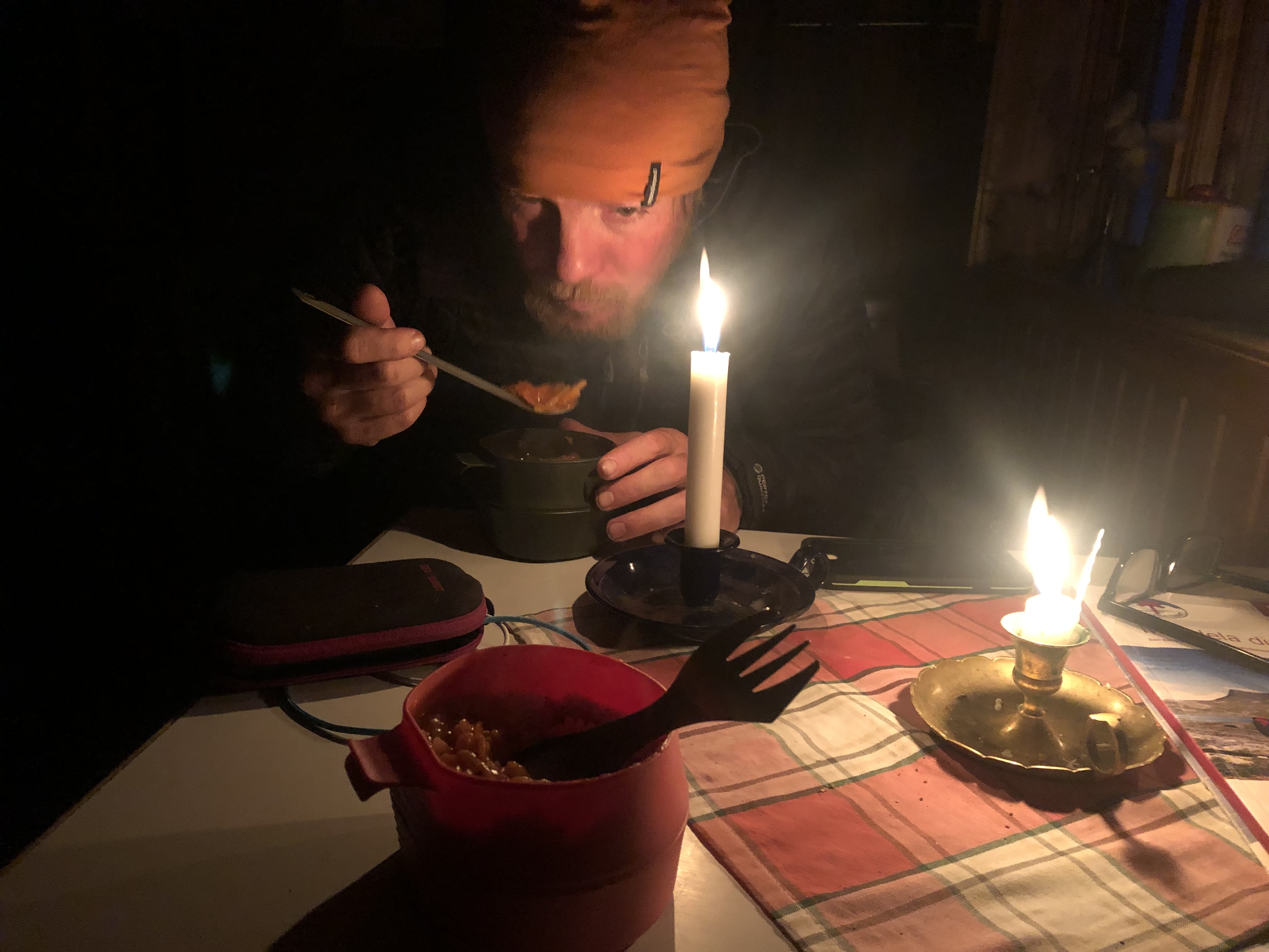
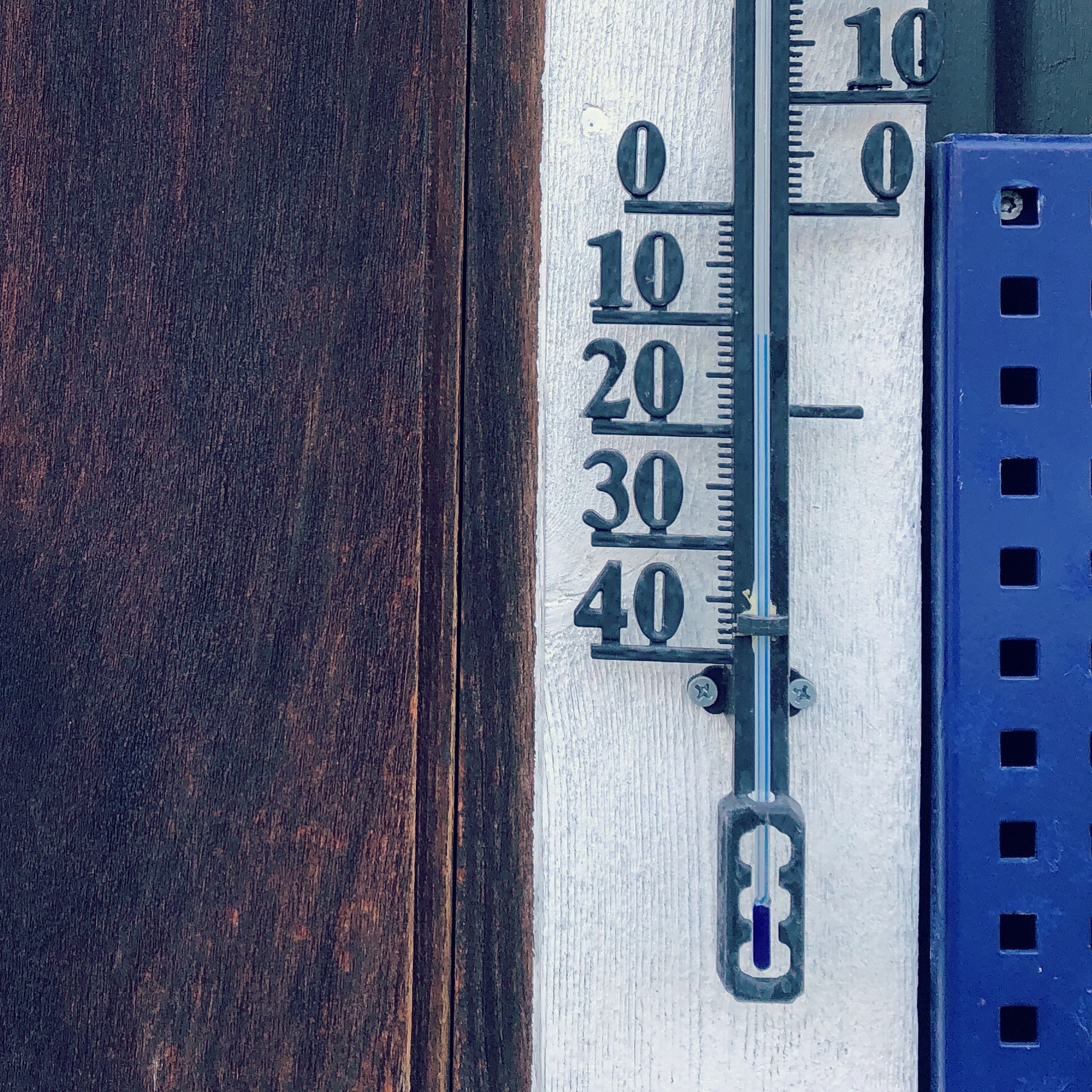
We got “snowed in” at Fältjägarstugan up in the mountains for a while. We stopped in for lunch and a few moments after the storm that had been chasing us all day caught up with us! No visibility, horizontal snow, very high winds and incredibly cold! So we are waiting out the storm here, it is the sensible thing to do with a wind chill below -10…
Day 98: Svalåtjärn
Distance: 33 km (1954 km total). Weather: sun with clouds cold wind
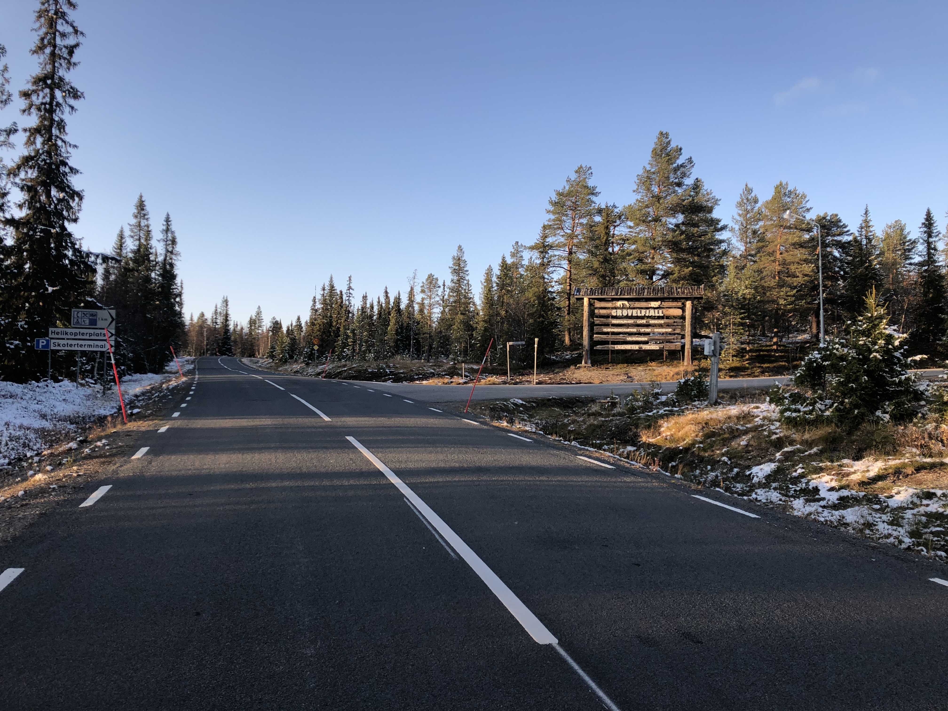
Storm had indeed passed by morning. Still a bit windy, but without that crazy icy chill. We dropped down to Funäsdalen and did our resupply at ICA in Bruksvallarna. Then climbed back up into the mountains on the other side of the valley. Quite a climb, but amazing 360 degree views up on the ridge.
We are heading over to Tenndalen and were aiming to camp at a small shelter in the mountains between the two valleys. The little shelter looked almost new with an added bonus that it is always nice to camp close to a toilet!
Scott spent quite some time breaking old trail marker posts piled up behind the long-drop into firewood but then the fireplace fid not work, the flue was blocked somehow. Scott even climbed up on the roof to trouble shoot, but no dice. A bit frustrating. Still a nice shelter, we had just hoped to get warmed up a bit, but oh well. Our breath is showing in here!
Day 99: Skedbro
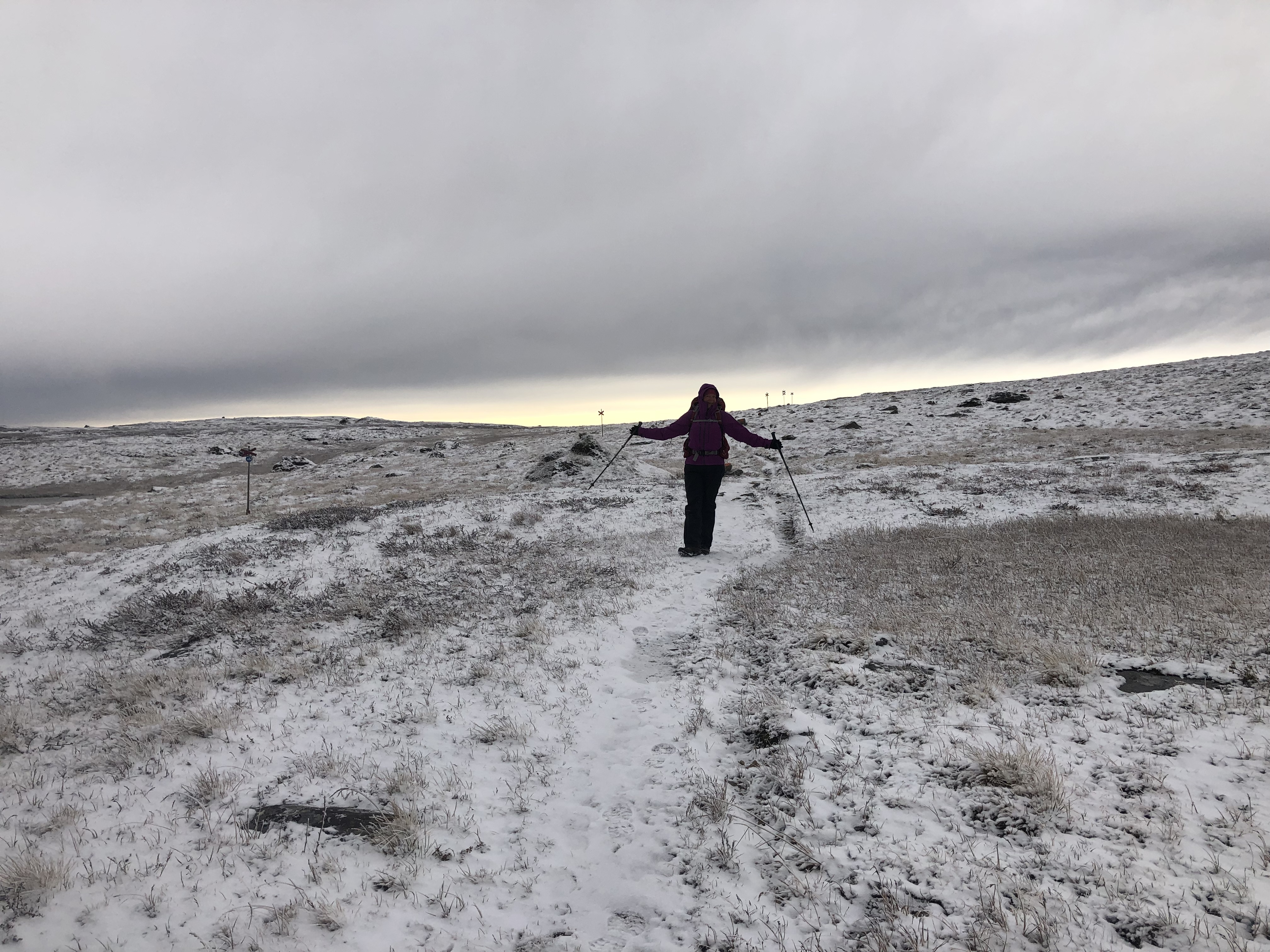
Distance: 31 km (1985 km total). Weather: cloudy, light snow
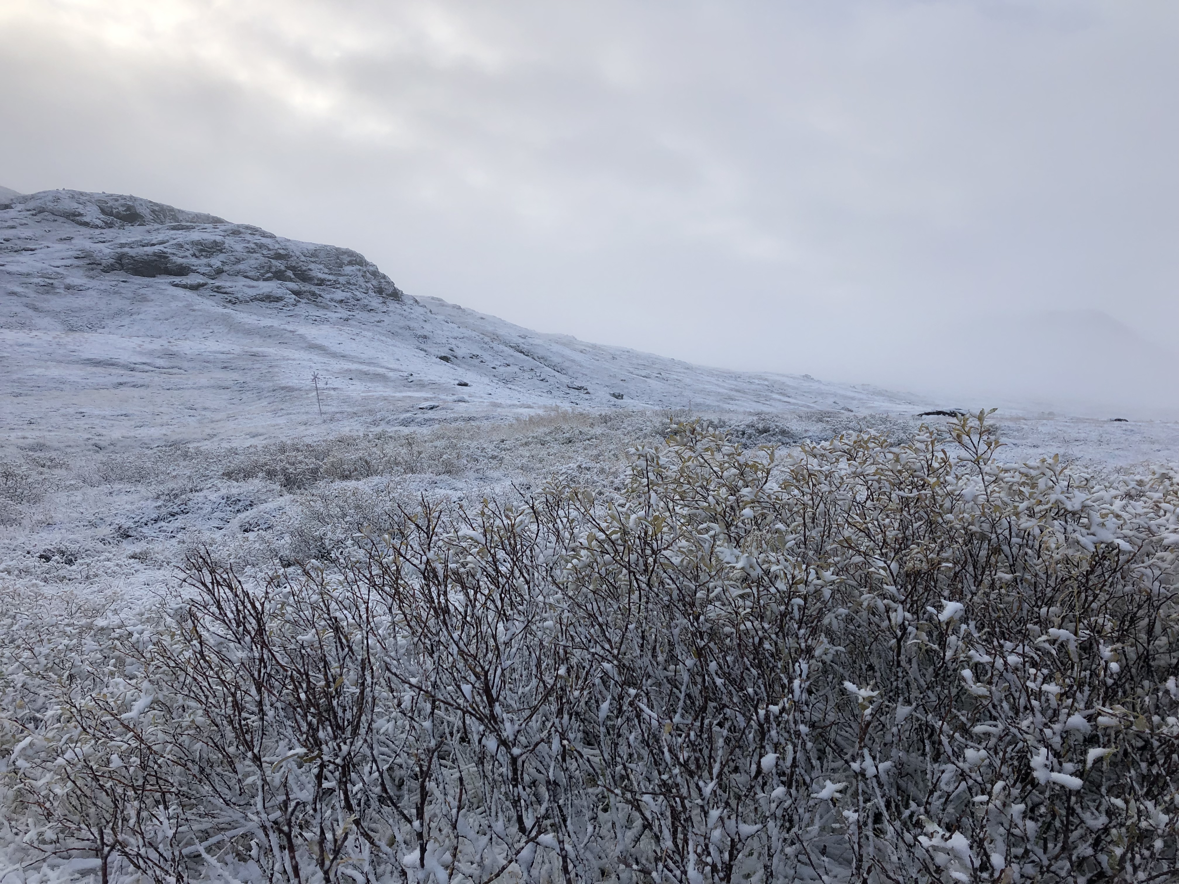
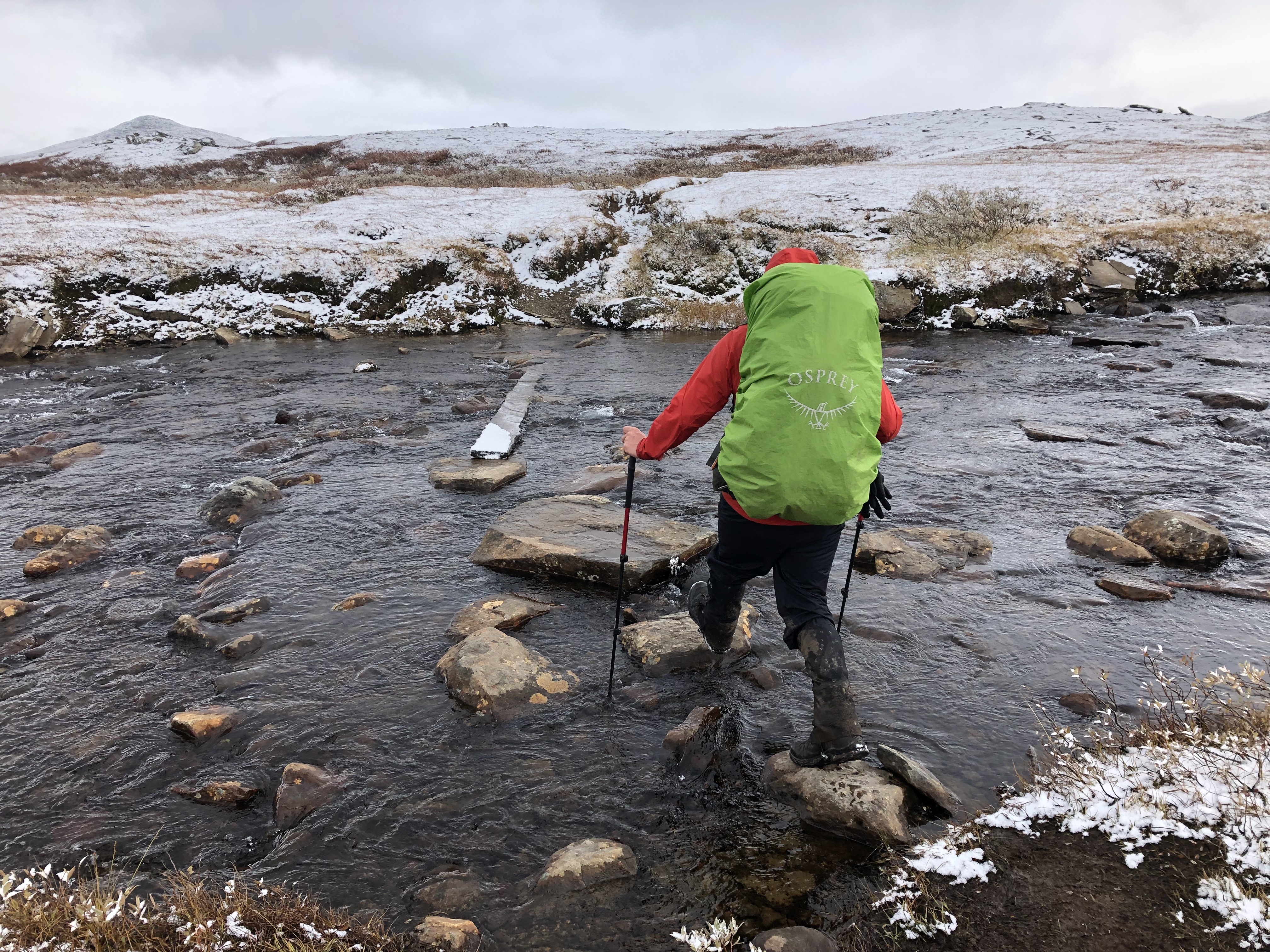
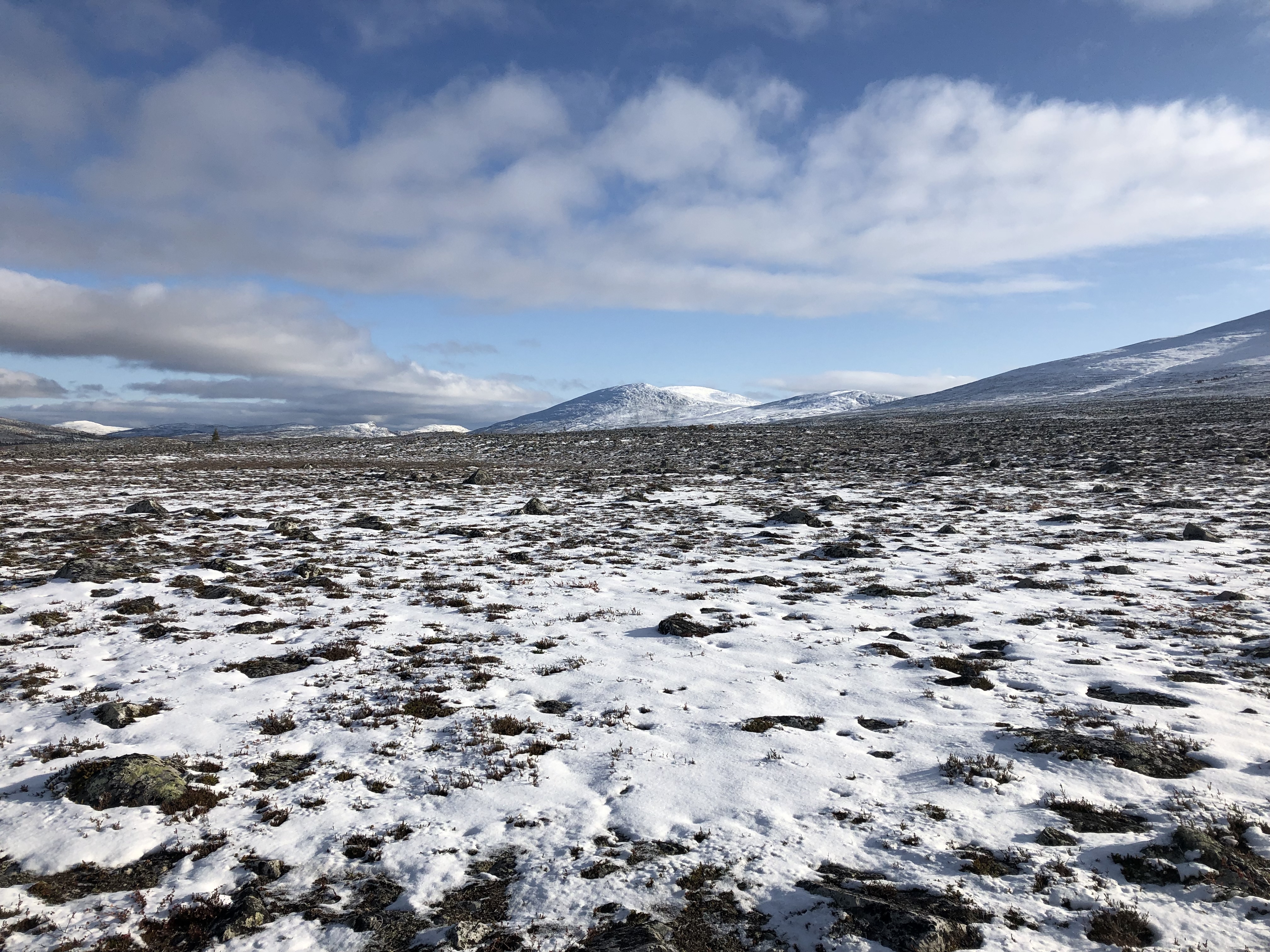
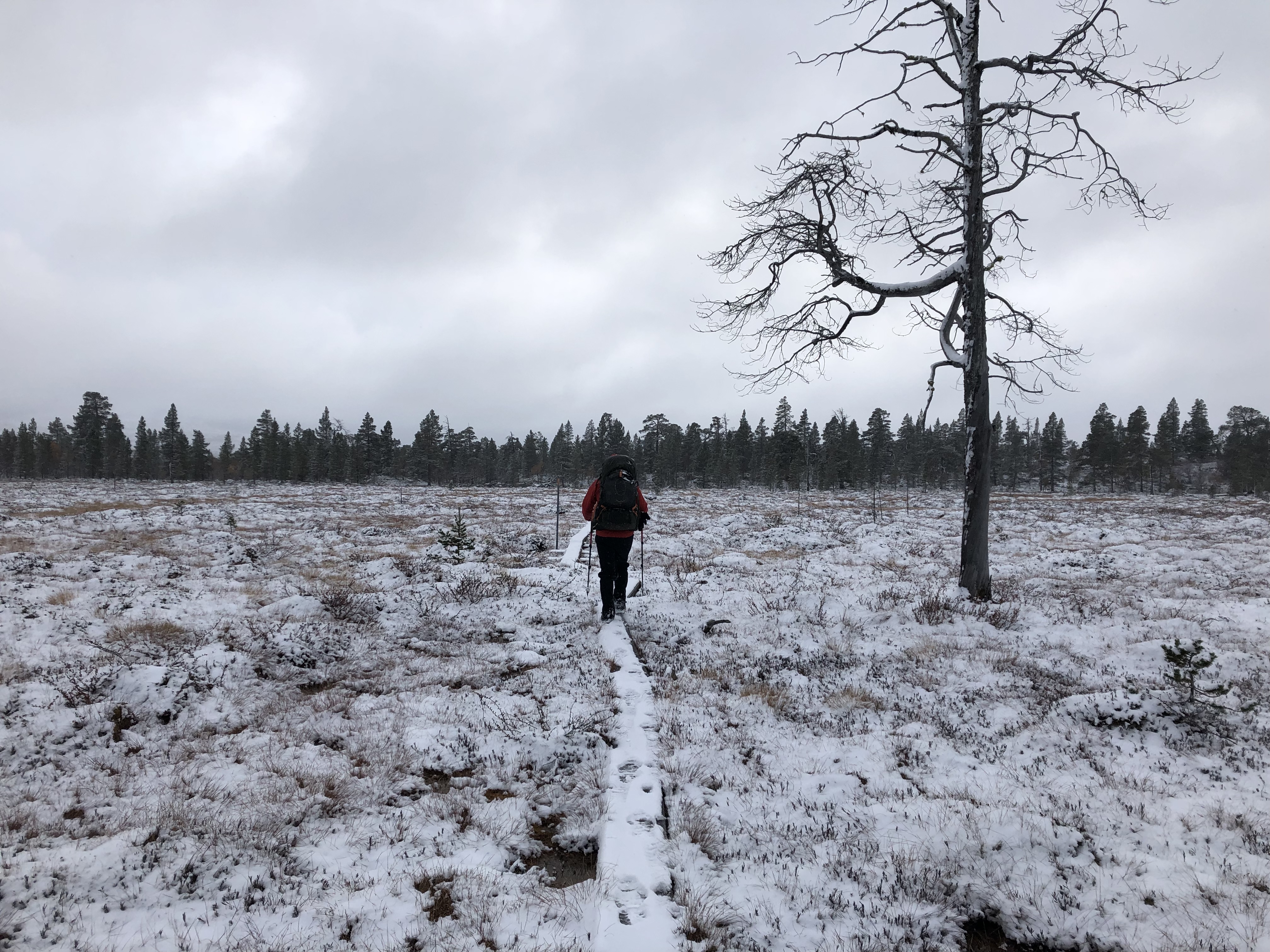
It was not supposed to snow, but about 10 cm fell over night. We had a big day down the mountain to Tenndalen, and then up again on the other side climbing the ski fields in the snow. Hard work. Then a arduous hike through Rogen nature reserve which pretty much consisted of a rocky bolder field partly covered in new snow… Very tricky to navigate.
Day 100: DNT Svukuriset
Distance: 28 km (2013 km total). Weather: cleared up by lunch, sun, cold
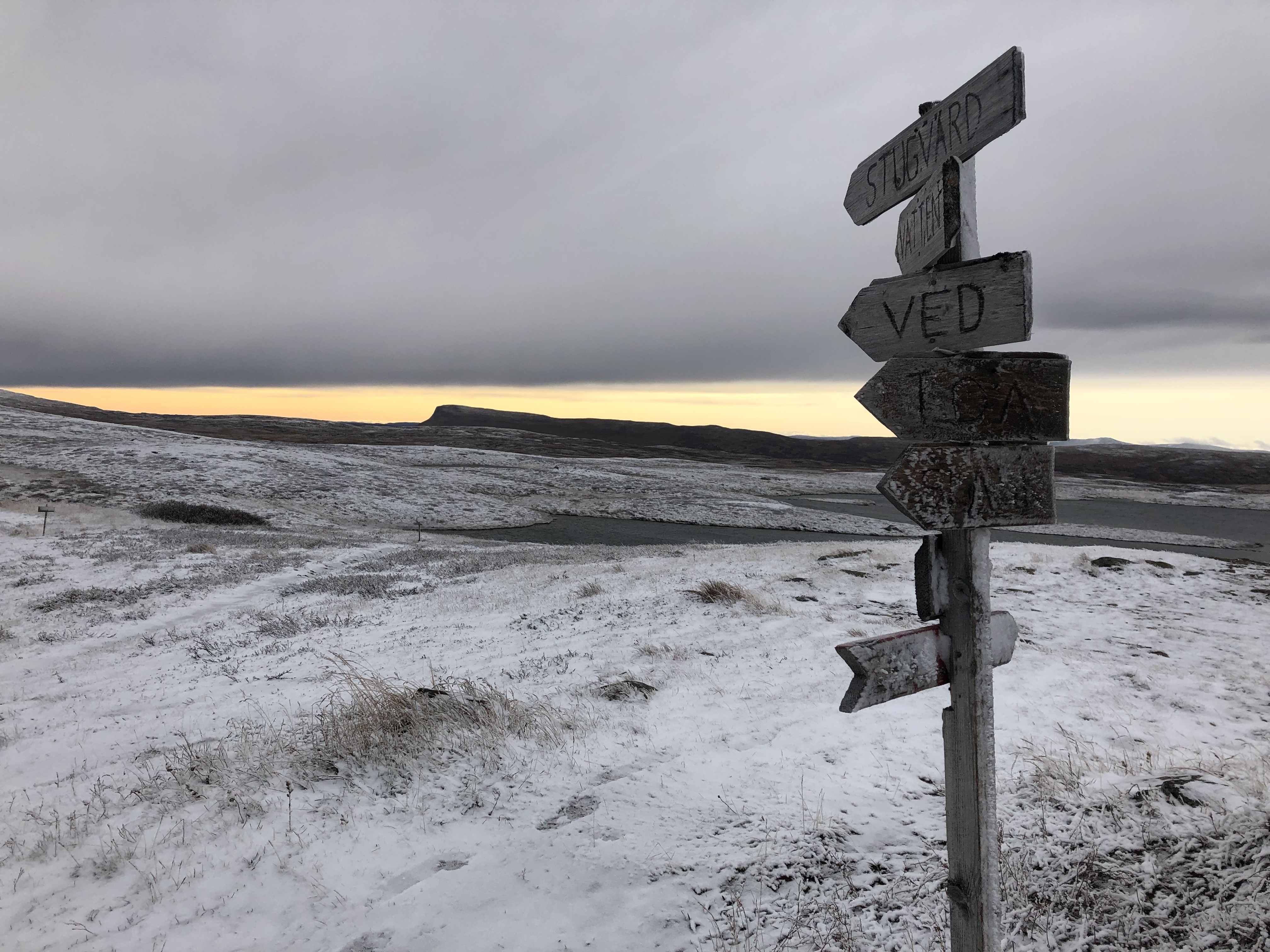
A big day on trail starting with a long demanding trek through Rogen nature reserve. Beautiful area with lots of gorgeous lakes, but not a very enjoyable trail to hike. We spent all day rock hopping huge boulder fields made extra fun with the addition of slippery snow.
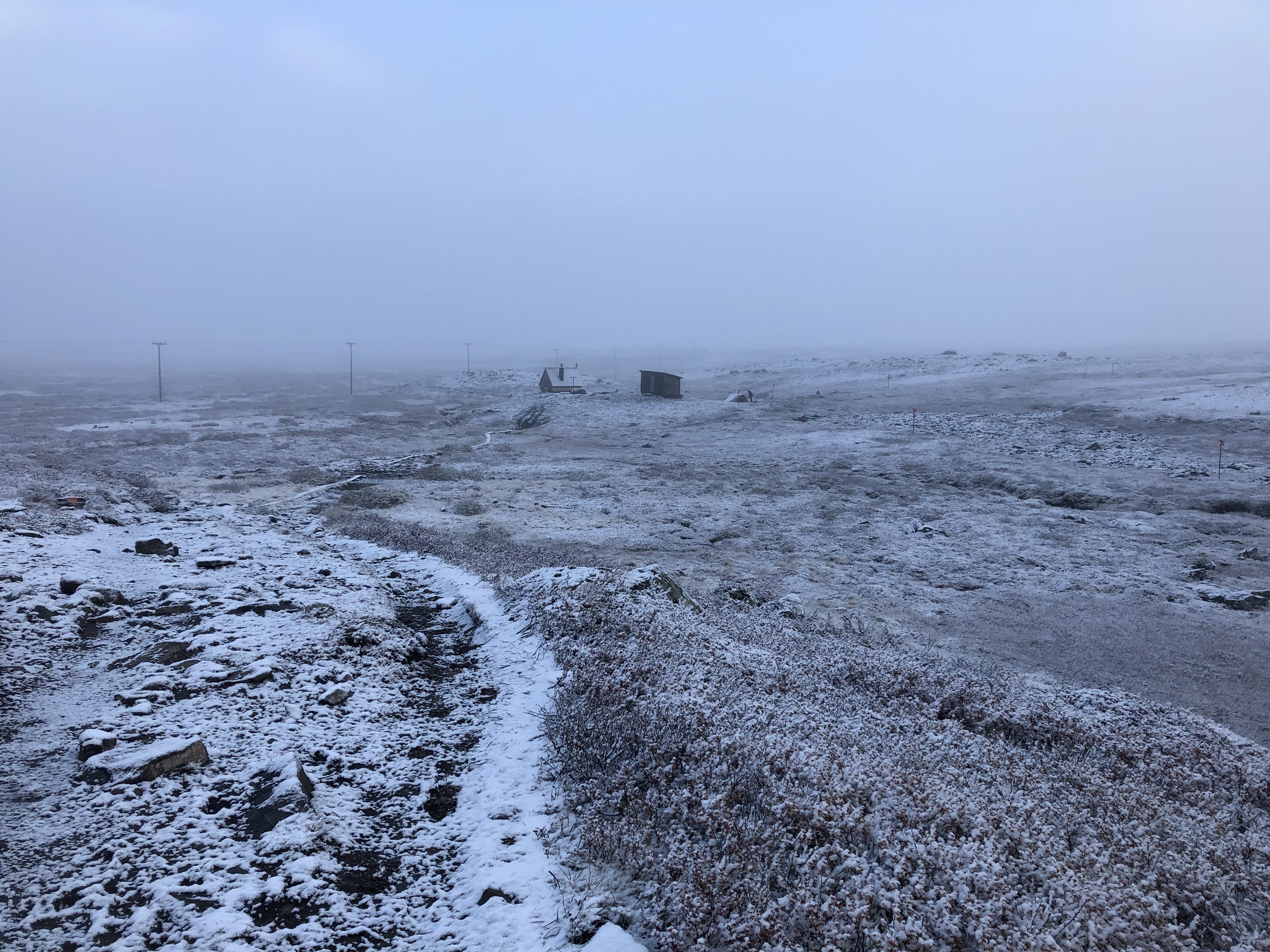
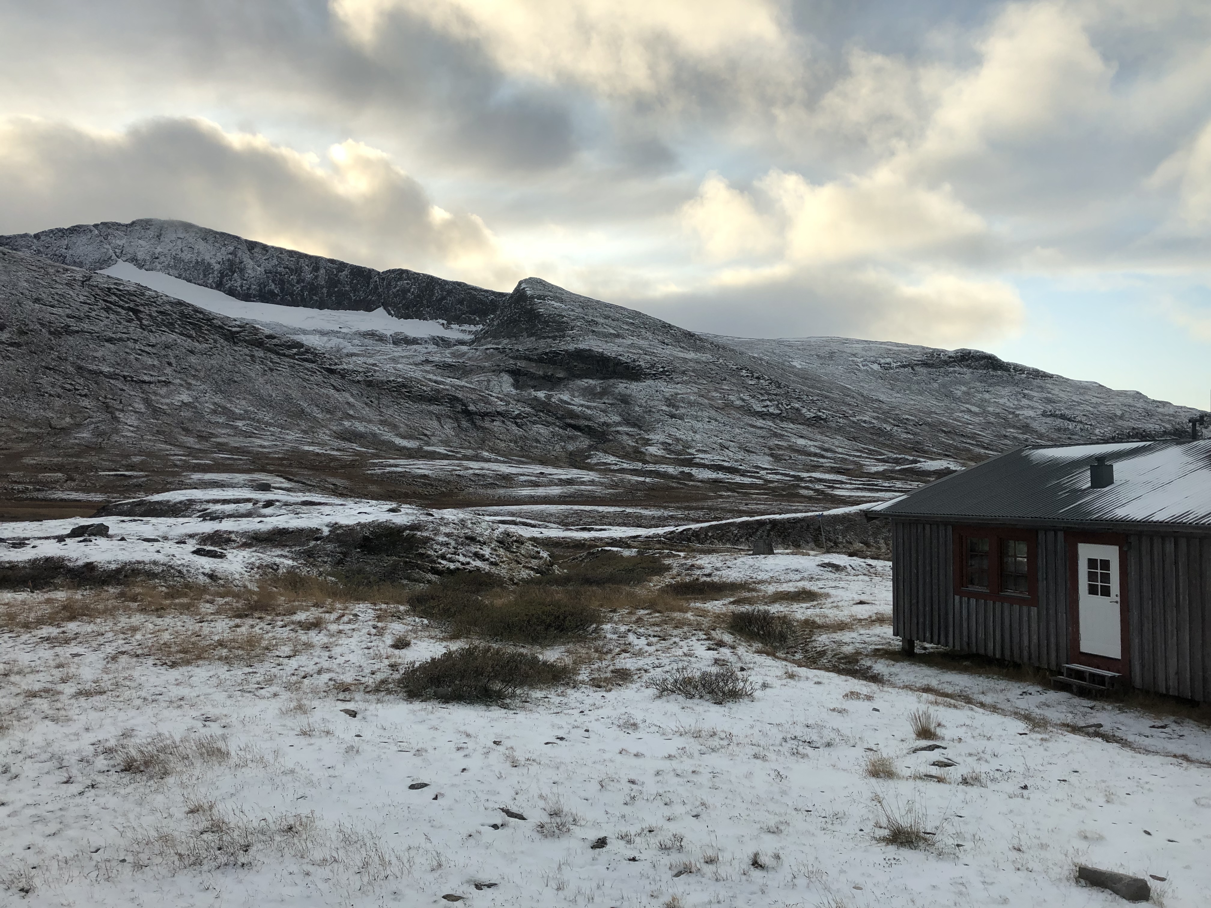
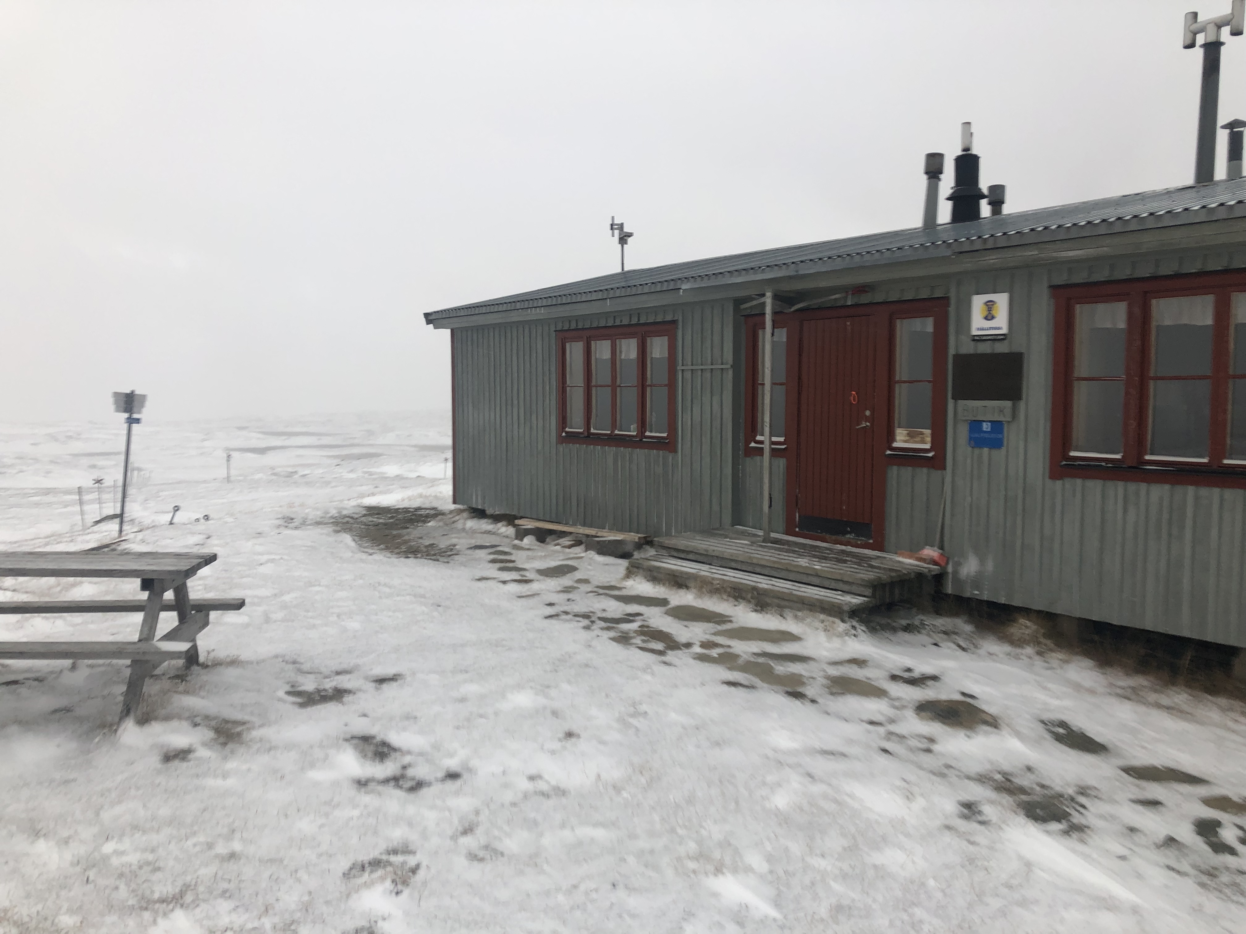
Then we climbed over a big mountain pass at the end of the day. Quite cold all day but clear skies for once, super nice! Treating ourselves to a hot shower and warm bed at a serviced DNT hut tonight! Pricey but we deserve it.
We passed the 2000 km mark today — whoot whoot!
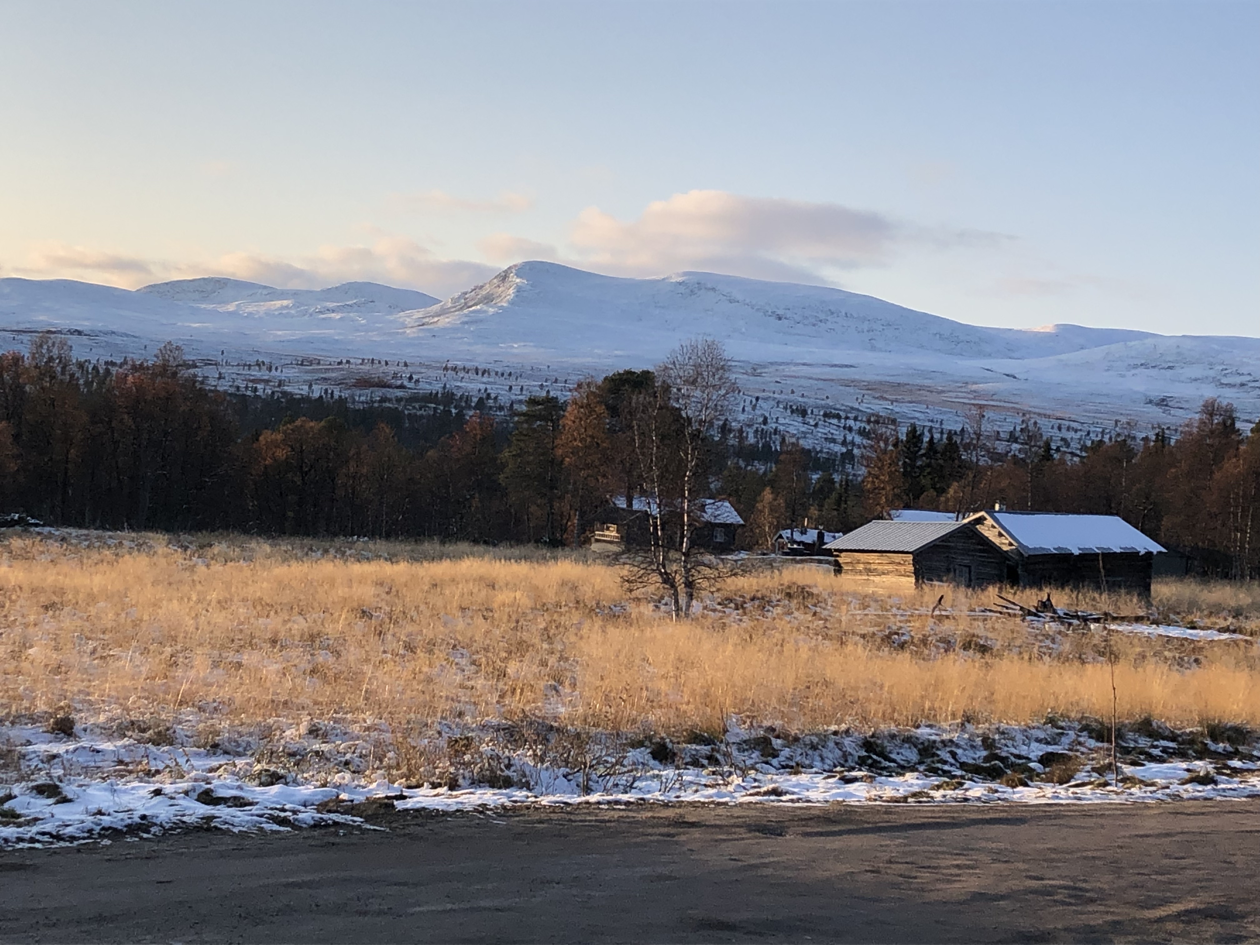
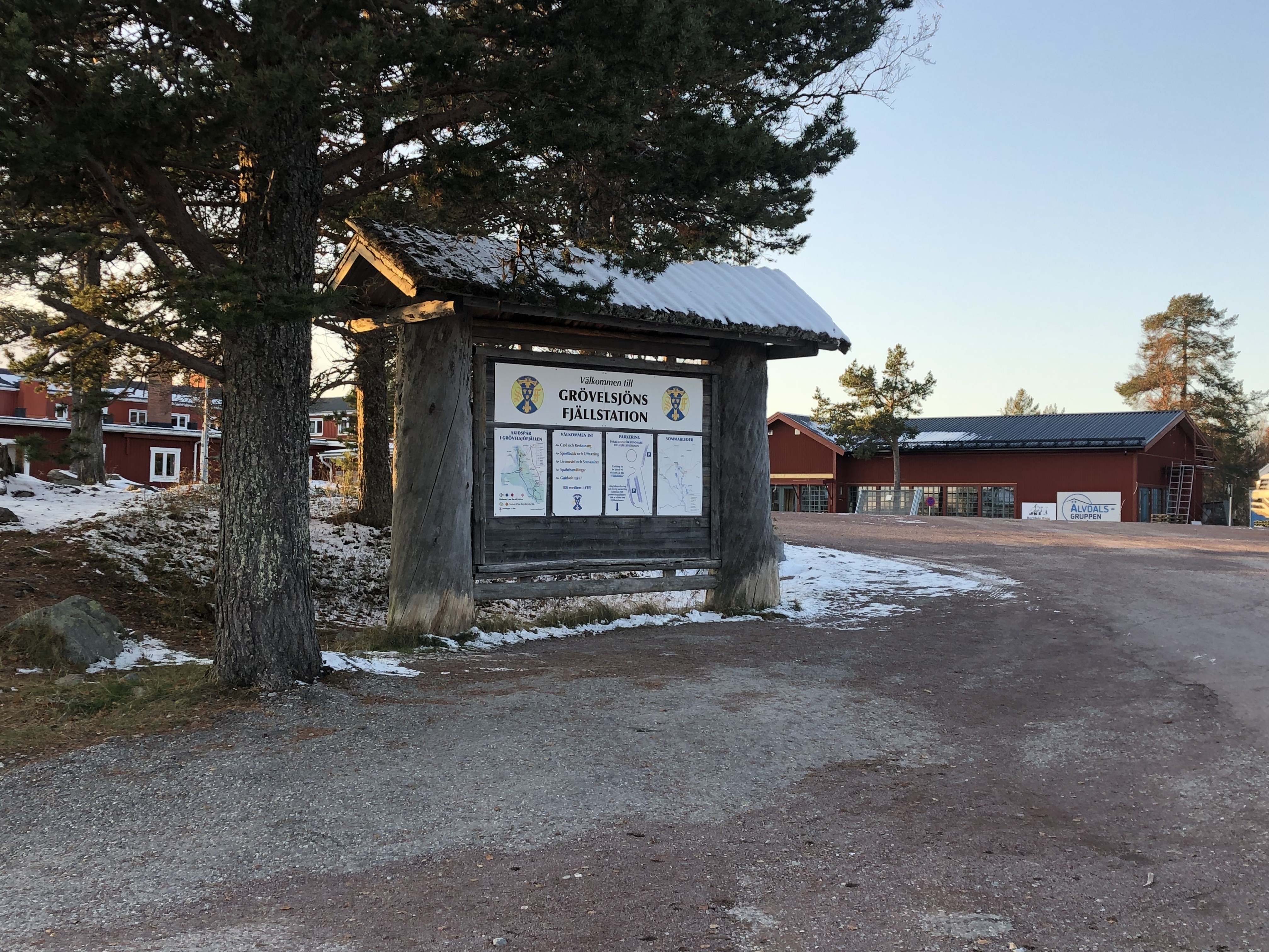
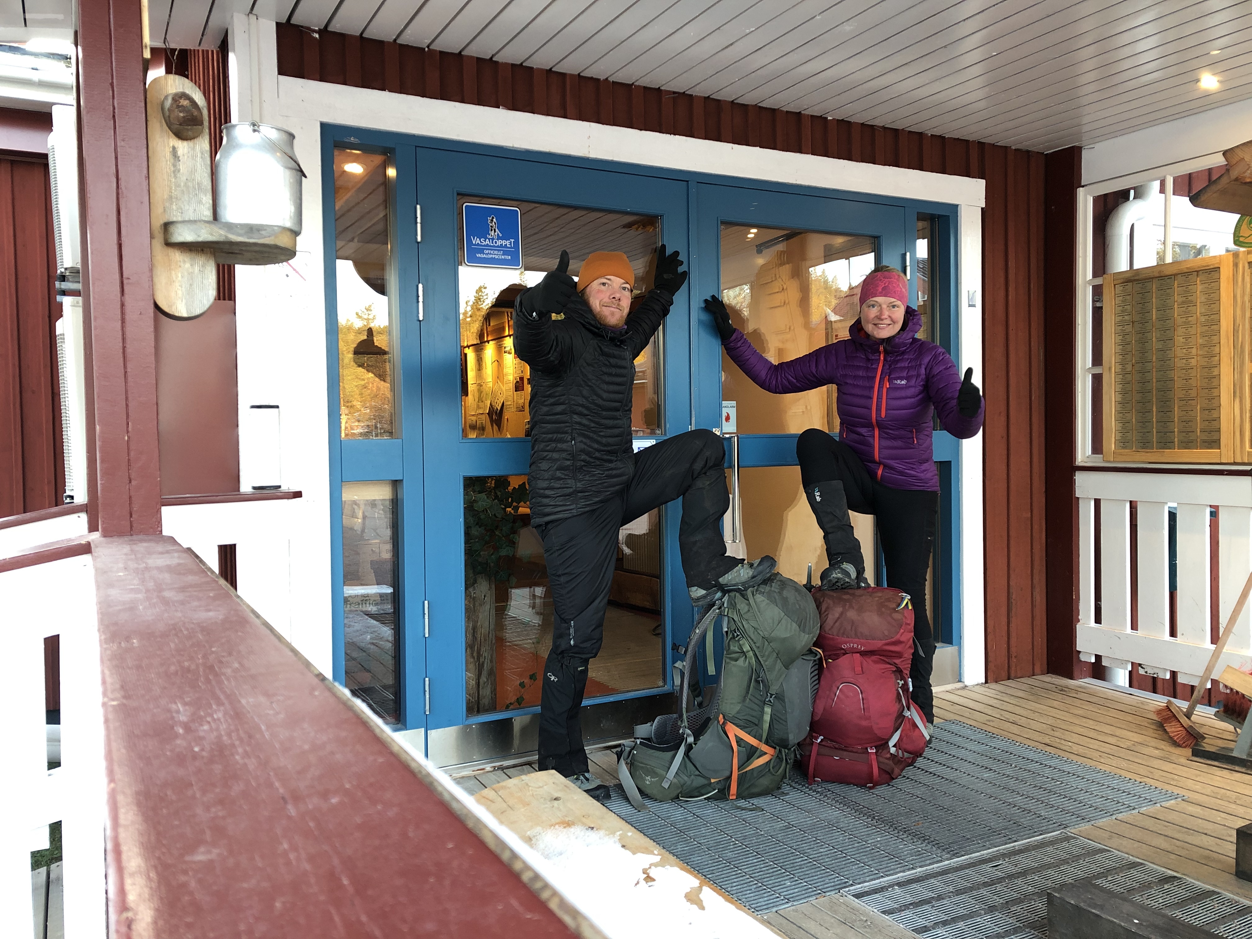
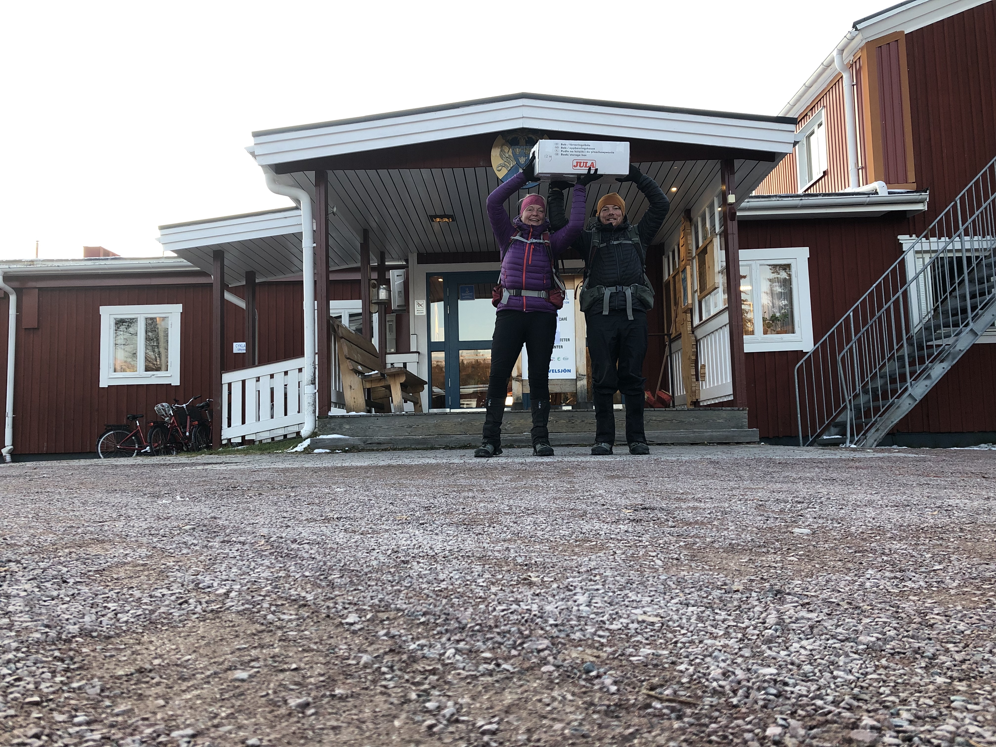
Day 101: Grövelsjön mountain station
Distance: 39 km (2052 km total). Weather: clouds with sun, cold
A day to celebrate today! We finally arrived at Grövelsjön mountain station. In doing so we are officially done with the Scandinavian mountains, and we also completed our Gröna Bandet (Green Ribbon) thru-hike. Who-hooo! This is a ling-distance hike from Treriksröset (Three Country Cairn) in the north to Grövelsjön in the south through the Scandinavian mountain range. The route is not fixed, and we chose to hike primarily on the Norwegian side of the border and our route measured 1498 km by the time we arrived at the southern terminus.
It did not really feel like “much”… normally when you finish a thru-hike there is some finality to it mixed with melancholy that it is over. This was just another day on trail for us. Tomorrow we hike on. We are both more excited about Sälen where we plan to take a couple of days off.
Day 102: Idre
Distance: 46 km (2098 km total)
Weather: sun, cold
Boosting south as fast as we can now!!! It was -11 C (12F) when we hit the road this morning! Brrr… Made it to Idre and stopped at the ICA supermarket to warm up a bit. Got a couple of pizzas and microwaved them at the in-store café. Not amazing, but nice not having to cook.
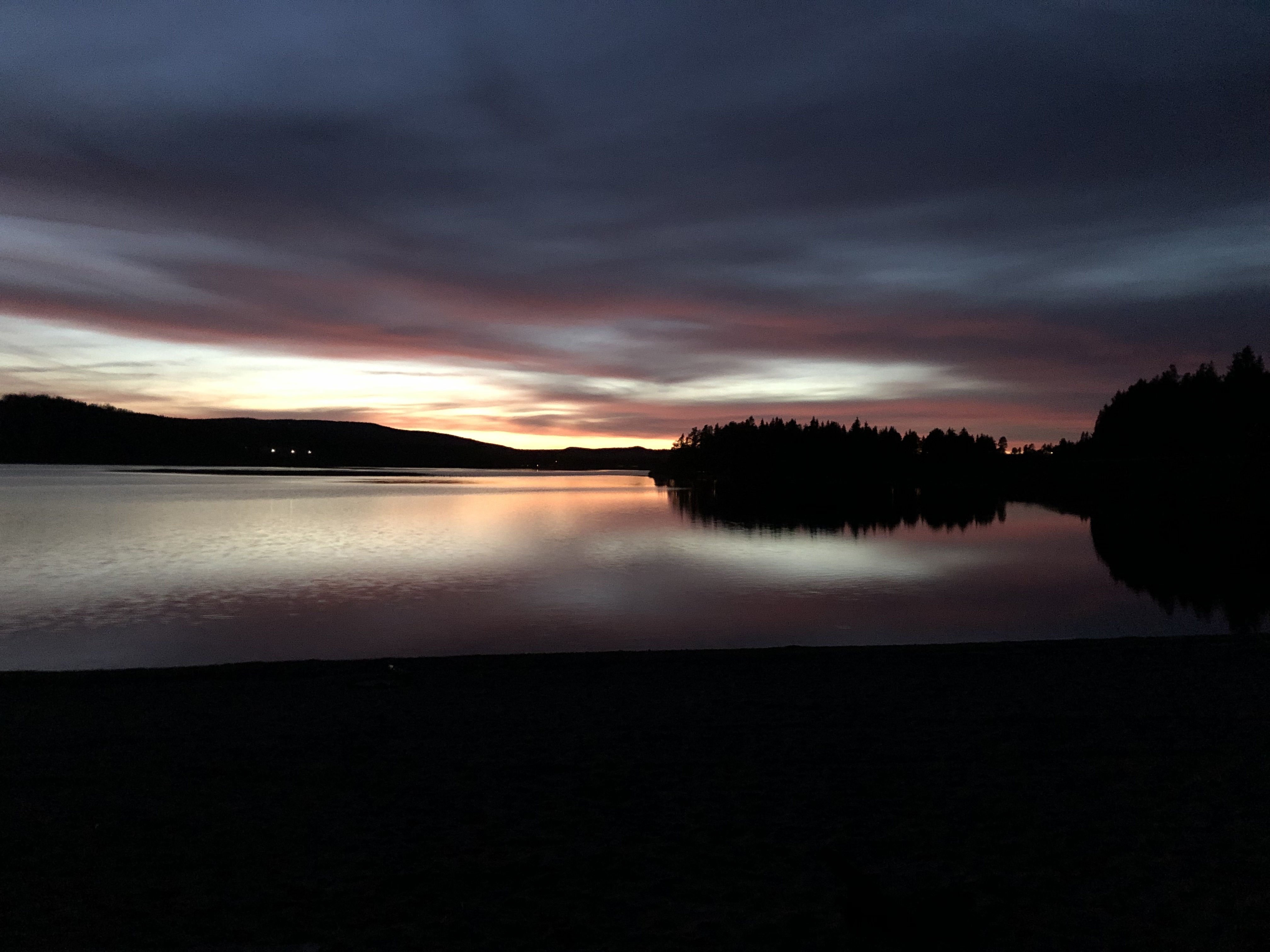
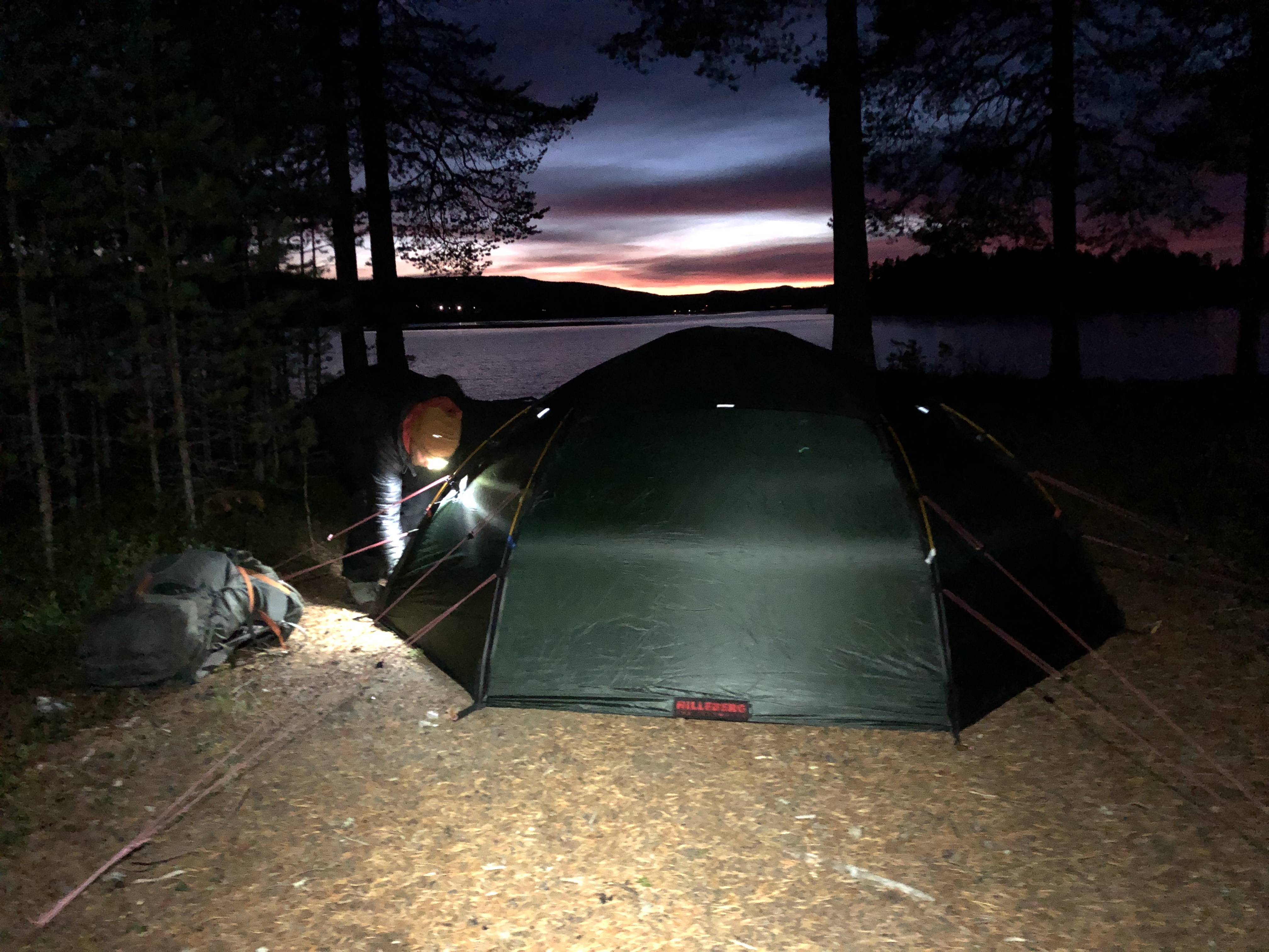
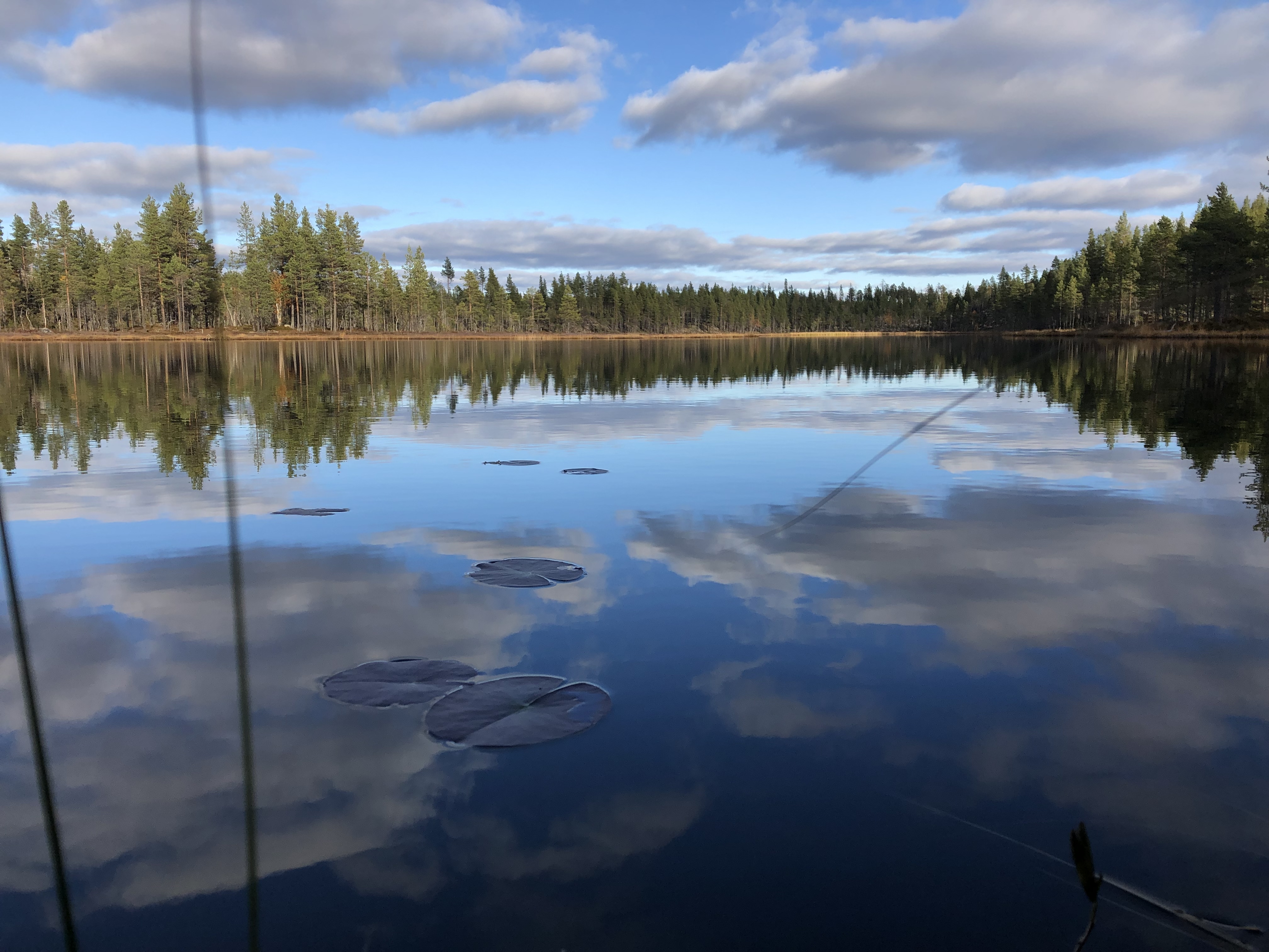
Walked a few km out of town and camped up on the beautiful public beach just as the sun was setting. Amazing sunset over the lake.
We also got a whole bag of cinnamon buns for FREE at the local gas station on our way out of town! Sweet! Ahhh the little things.
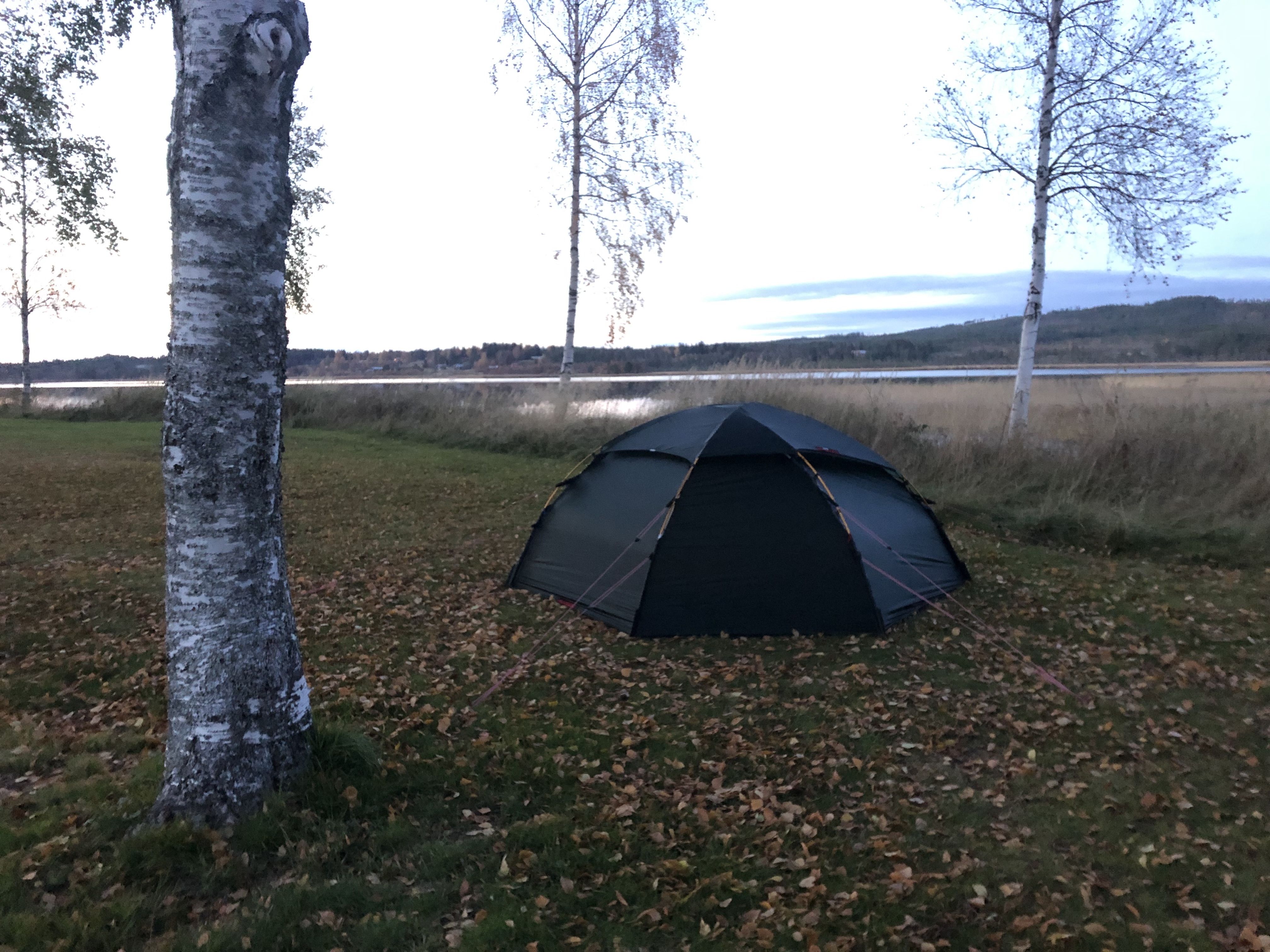
Nice with a warmer tent now that it is so cold out for sure!
Day 103: Särna
Distance: 35 km (2133 km total). Weather: sun, cold
Camping in town tonight. Had a proper pizza to make up for the soggy excuse from yesterday and more or less could not make it any further… lol. “Hiding” behind the old church down by the river right in town. We did not think we would bother anyone down here on a Monday night though.
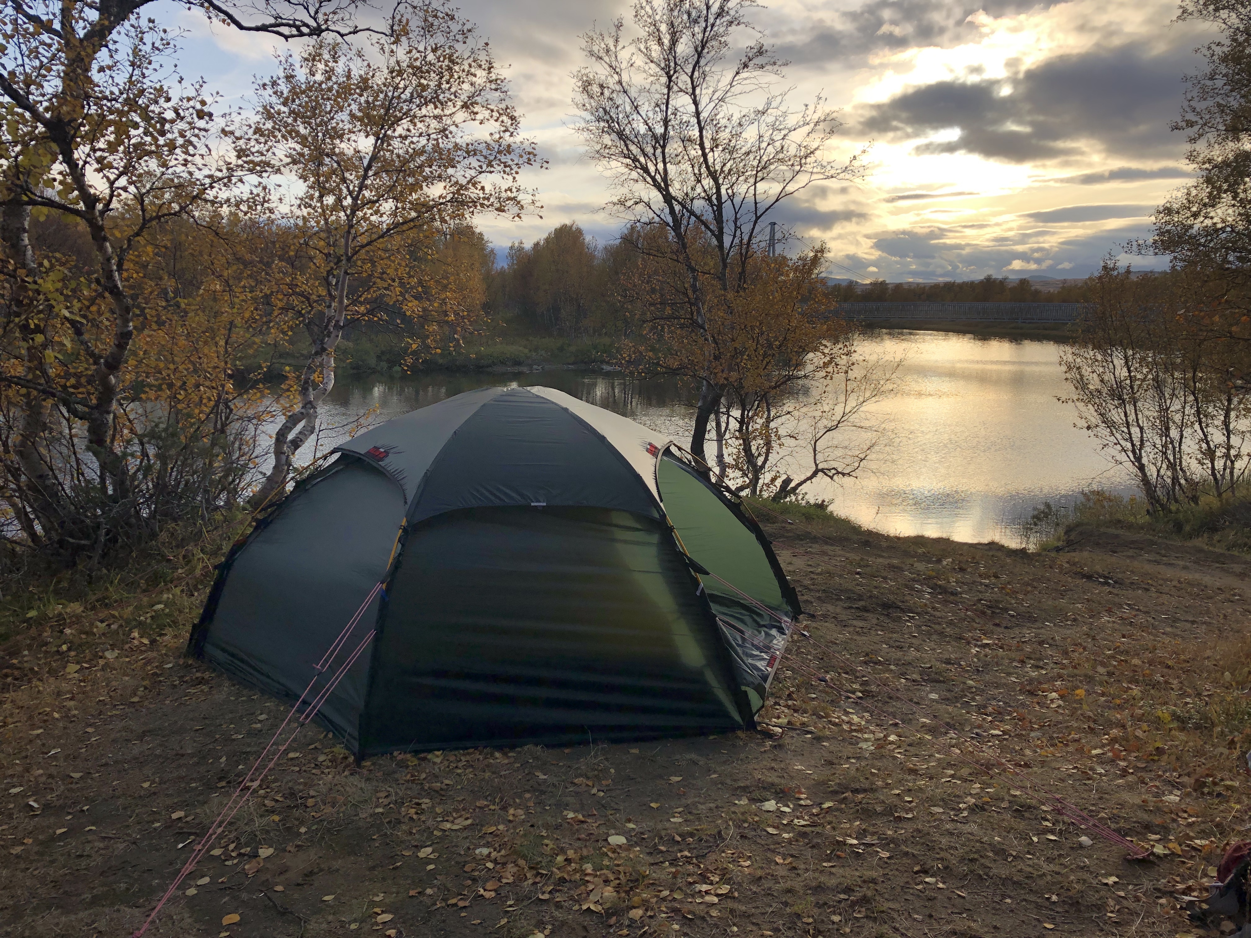
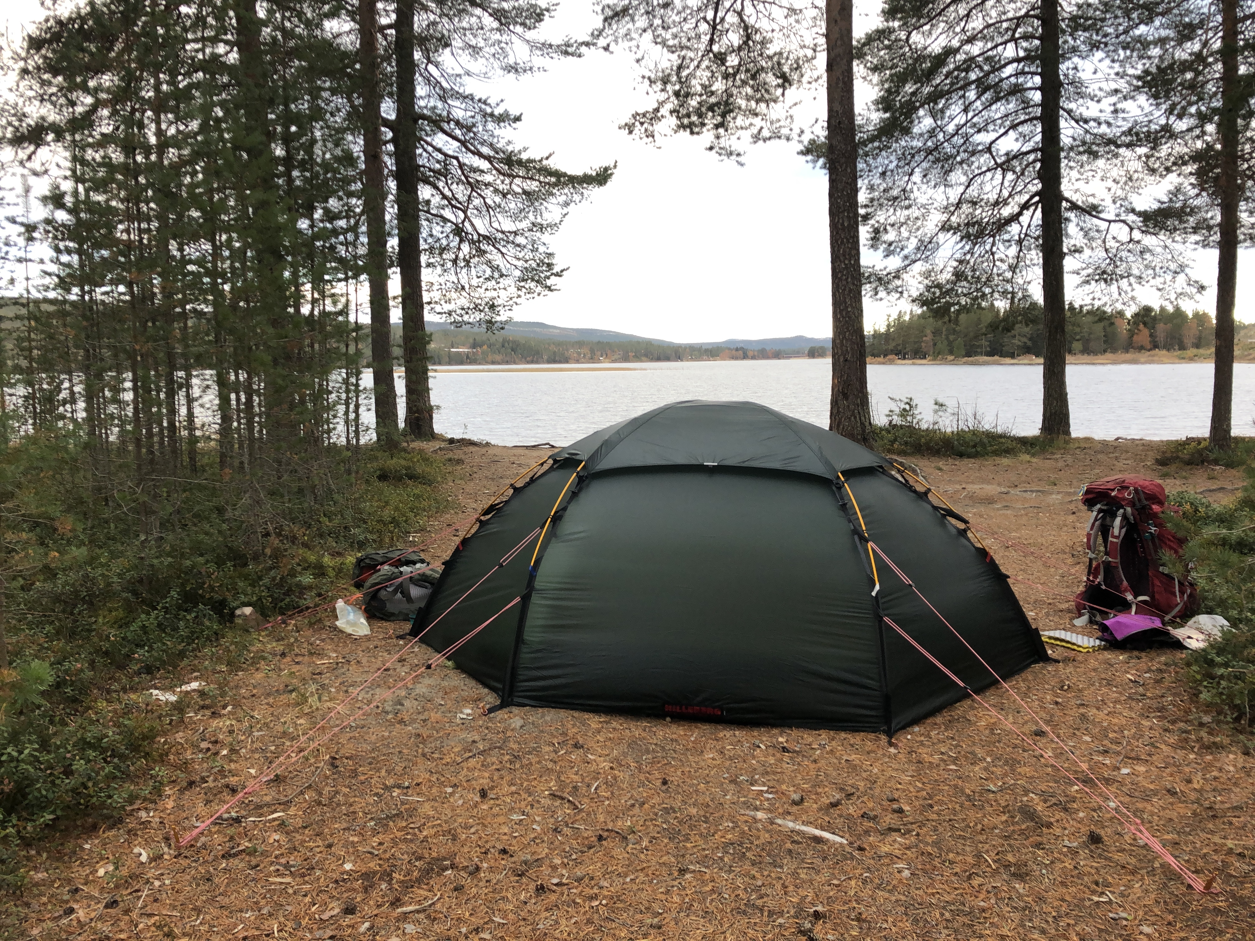
Still learning our new tent. Figuring out what works best and finding new routines. It is an awesome tent but will take some getting used to.
Day 104: Tandådalen
Distance: 83 km (2216 km total). Weather: overcast, snow flurries
We were heading for the family cabin in Sälen for a few days of rest when we decided we did not want to wait. So we decided to pull an all nighter and walk until we got there… 83 km and 19 hours later, at 5 in the morning, we finally made it!!! It was grueling, and our feet hurts, but it proves we can do anything if we just want to!
Day 105-108: Tandådalen
Distance: 0 km (2216 km total)
Weather: overcast, fog
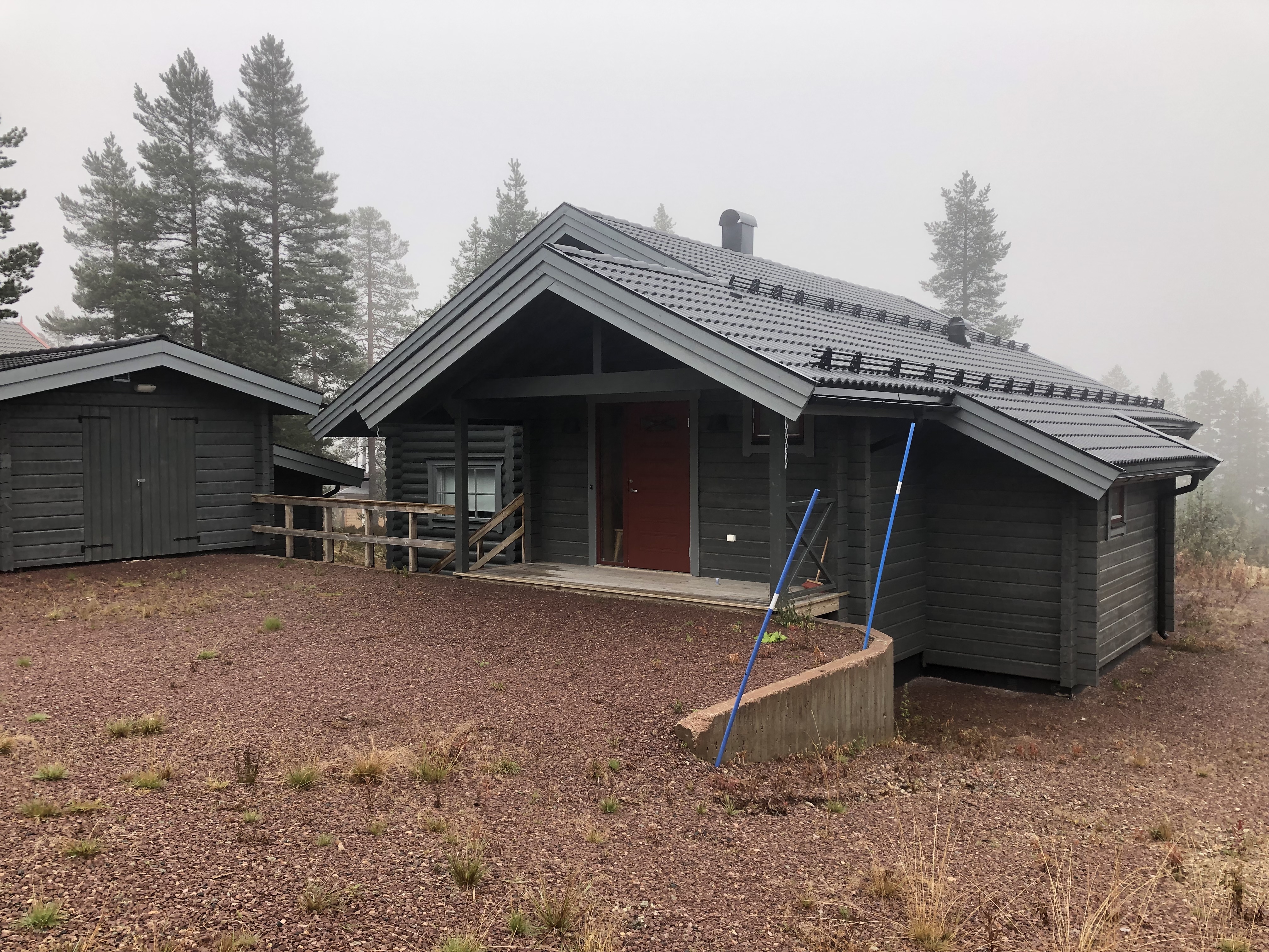
Feeling very lucky to call this amazing log cabin home for a few days! Hot showers. Warm bed. Fireplace and just some quiet and relaxing downtime. Thank you family! We have been pushing really hard to make it out if the Scandinavian mountains and down to lower elevations before winter hits and we are feeling it a bit… So we are taking a few rest days here to recover and regroup for the next section.


Leave A Comment